Elevation map of Krishna, Andhra Pradesh, India
Location: India > Andhra Pradesh >
Longitude: 80.7214417
Latitude: 16.6099914
Elevation: 41m / 135feet
Barometric Pressure: 101KPa
Elevation Map:
Satellite Map:
Related Photos:
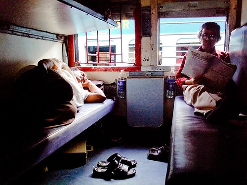
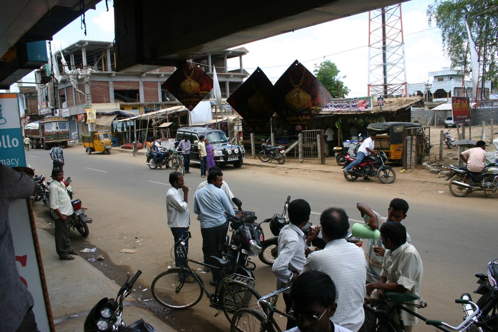
General view in a general coach
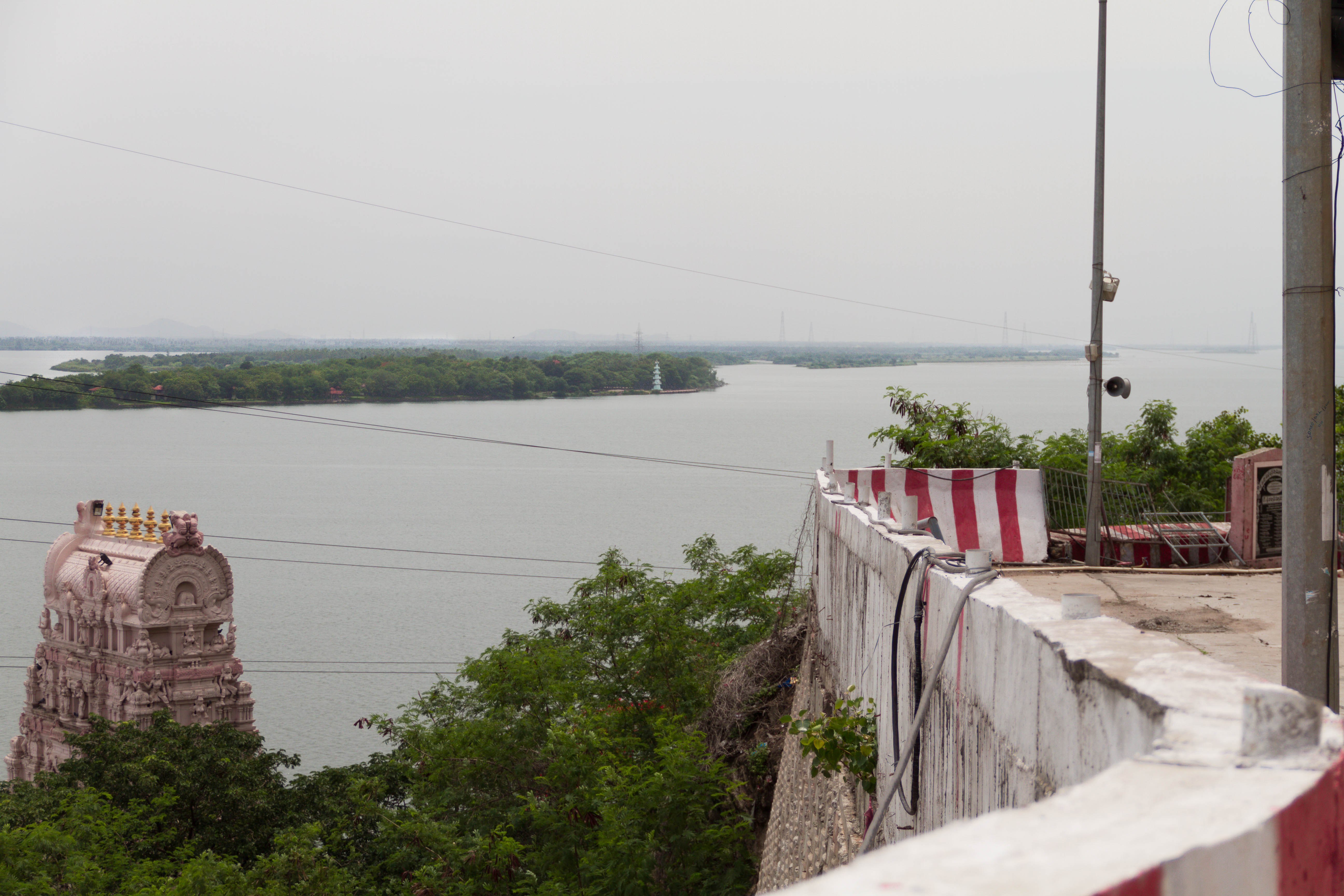
Krishna - Durga Temple
2012 - 3rd India Evangelism Seminar trip
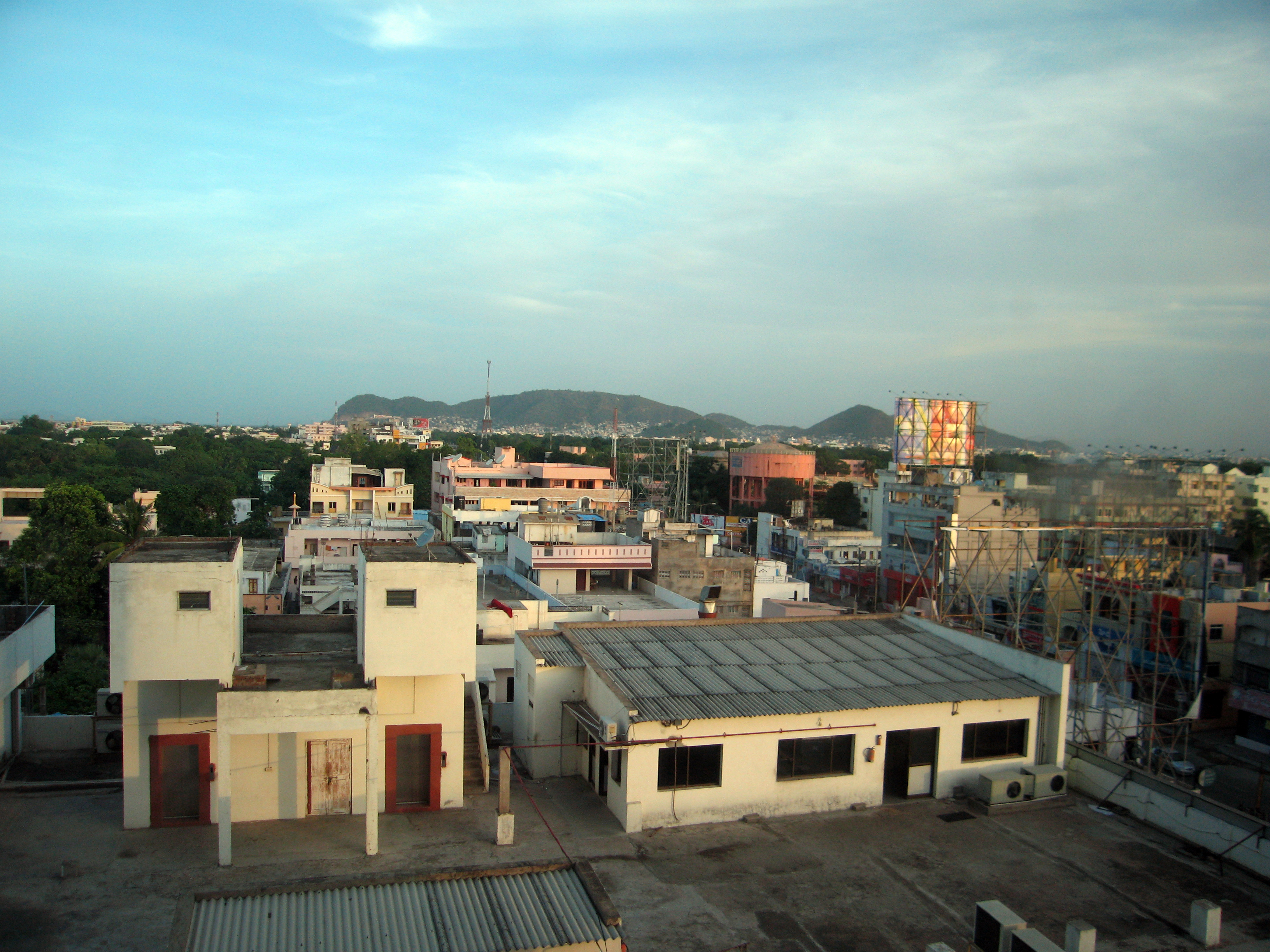
The view from the Taj Gateway Hotel
2012 - 3rd India Evangelism Seminar trip
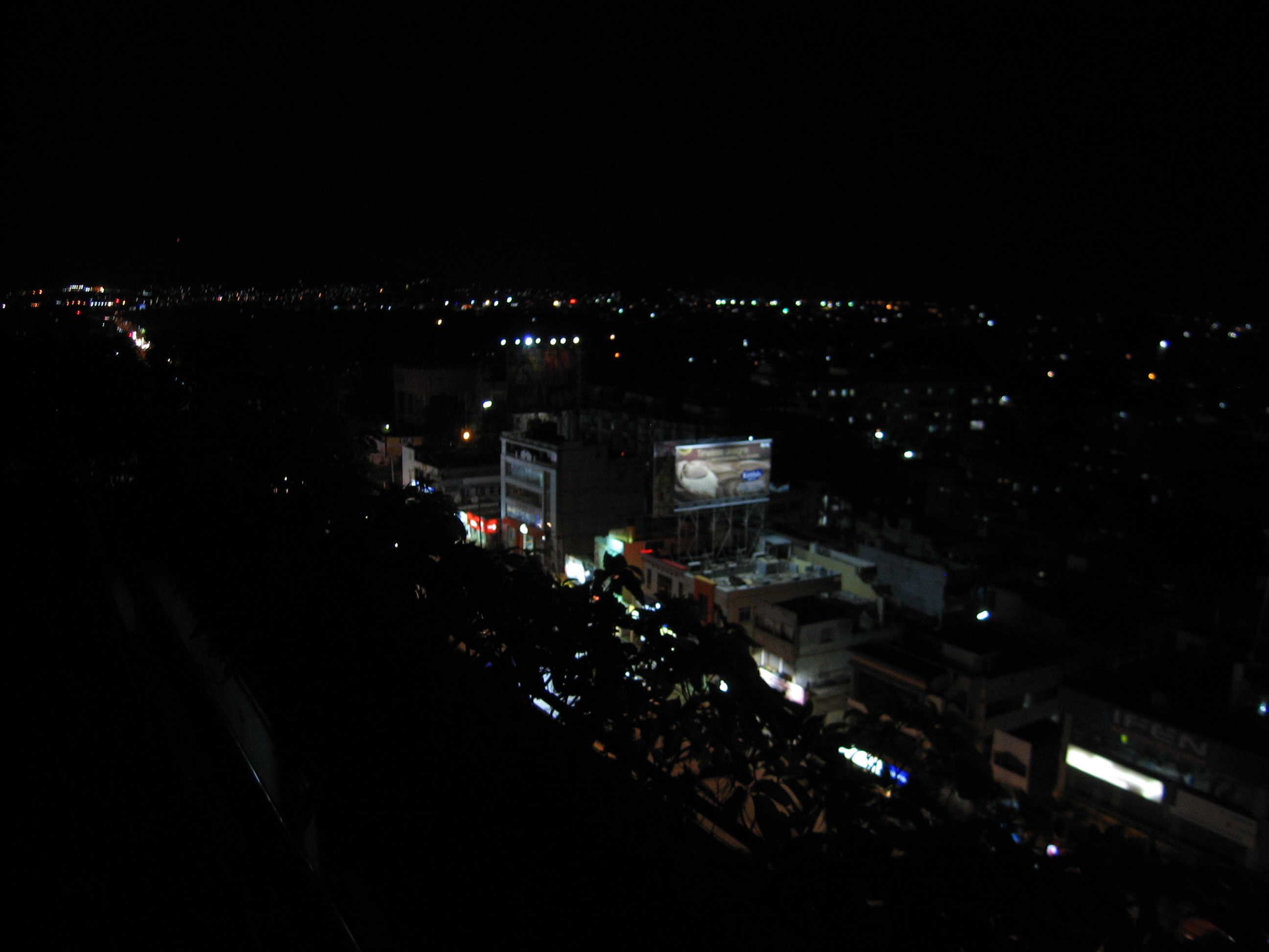
view form hotel at night

Bezawada airport n farmlands .. Once a scenic green patch is turning into a major airport..sadly farmlands are converted into villas. All in the name of #urban #development #vijayawada #hometown #travel #travelgram #india #incredibleindia #instagrammer #
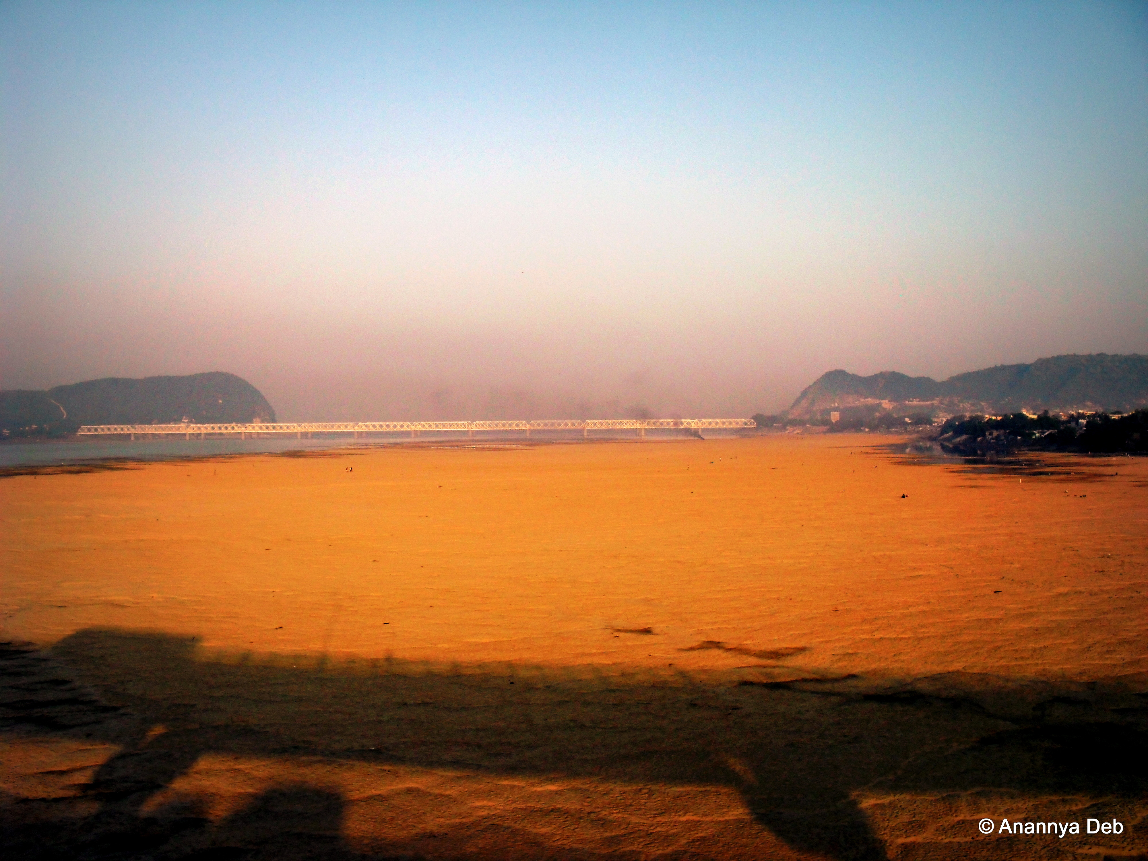
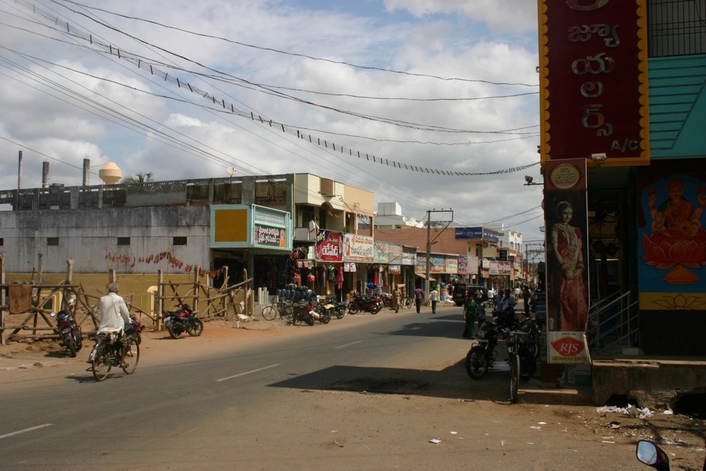
Vijayawada, October 2009

Vijayawada, October 2009

Vijayawada, October 2009

College Days #Vizag #instagram #Beautiful
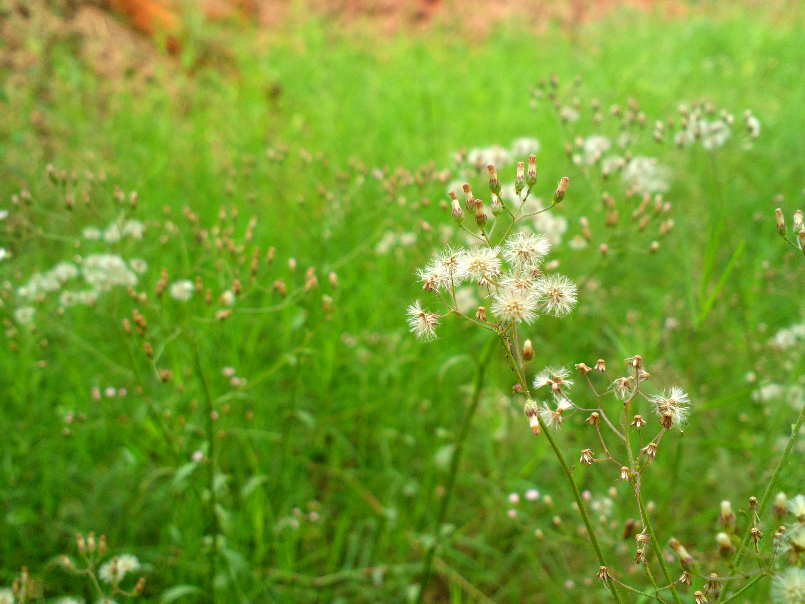
2013-01-29-0399

Vijayawada, October 2009
Topographic Map of Krishna, Andhra Pradesh, India
Find elevation by address:

Places in Krishna, Andhra Pradesh, India:
Vijayawada
Nagayalanka
Gullalamoda
Challapalli
Avanigadda
Machilipatnam
Pamarru
Gudivada
Vuyyuru
Alluru
Madduru
Venkatapuram
Gudipadu
Nandigama
Places near Krishna, Andhra Pradesh, India:
Aeroplane Hotel
Vijayawada
Venkatapuram
Madduru
Andhra Pradesh Legislative Assembly
Vuyyuru
Gudivada
Gudipadu
Amaravathi
Uppalapadu
Pamarru
Tenali
Eluru
Mallikarjuna Swamy Temple
Guntur
Nandigama
Alluru
Challapalli
Machilipatnam
Pusuluru
Recent Searches:
- Elevation of Shibuya Scramble Crossing, 21 Udagawacho, Shibuya City, Tokyo -, Japan
- Elevation of Jadagoniai, Kaunas District Municipality, Lithuania
- Elevation of Pagonija rock, Kranto 7-oji g. 8"N, Kaunas, Lithuania
- Elevation of Co Rd 87, Jamestown, CO, USA
- Elevation of Tenjo, Cundinamarca, Colombia
- Elevation of Côte-des-Neiges, Montreal, QC H4A 3J6, Canada
- Elevation of Bobcat Dr, Helena, MT, USA
- Elevation of Zu den Ihlowbergen, Althüttendorf, Germany
- Elevation of Badaber, Peshawar, Khyber Pakhtunkhwa, Pakistan
- Elevation of SE Heron Loop, Lincoln City, OR, USA