Elevation of Vijayawada, Andhra Pradesh, India
Location: India > Andhra Pradesh > Krishna >
Longitude: 80.6480153
Latitude: 16.5061743
Elevation: 32m / 105feet
Barometric Pressure: 101KPa
Elevation Map:
Satellite Map:
Related Photos:
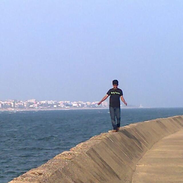
In the #battle of #views. This man wins. #Undavalli #caves #vijayawada #ap #andhra #pradesh

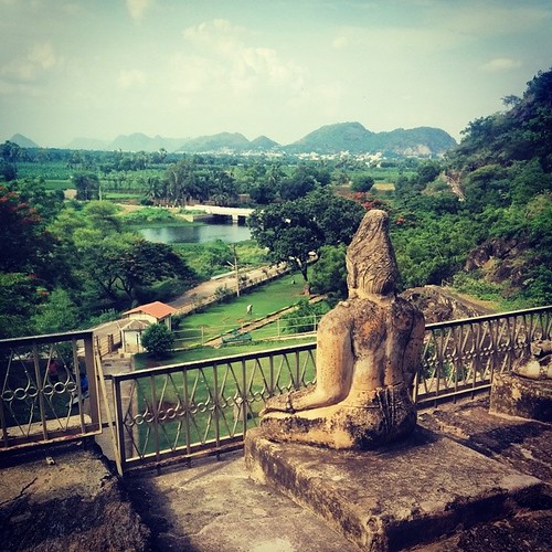
Handloom town - #Mangalagiri, as viewed from the temple uphill.
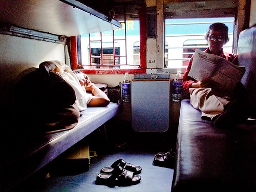
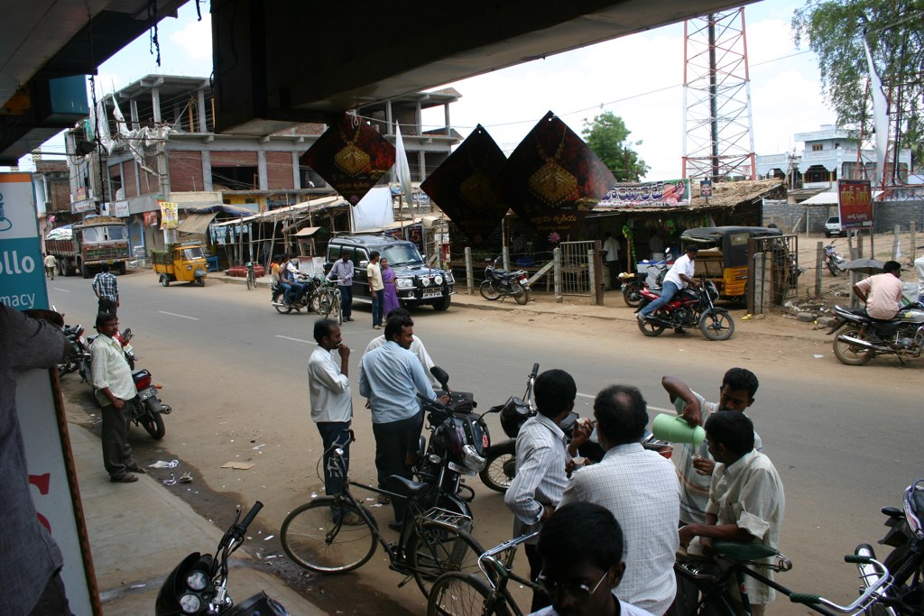
General view in a general coach
Krishna - Durga Temple
2012 - 3rd India Evangelism Seminar trip
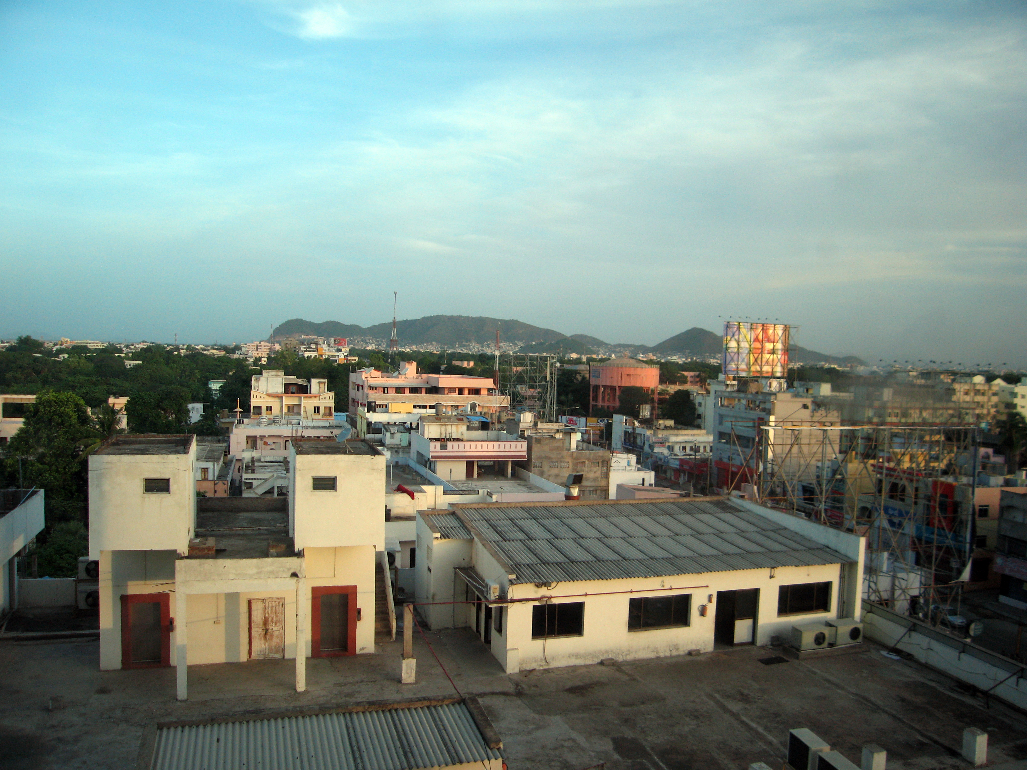
The view from the Taj Gateway Hotel
2012 - 3rd India Evangelism Seminar trip
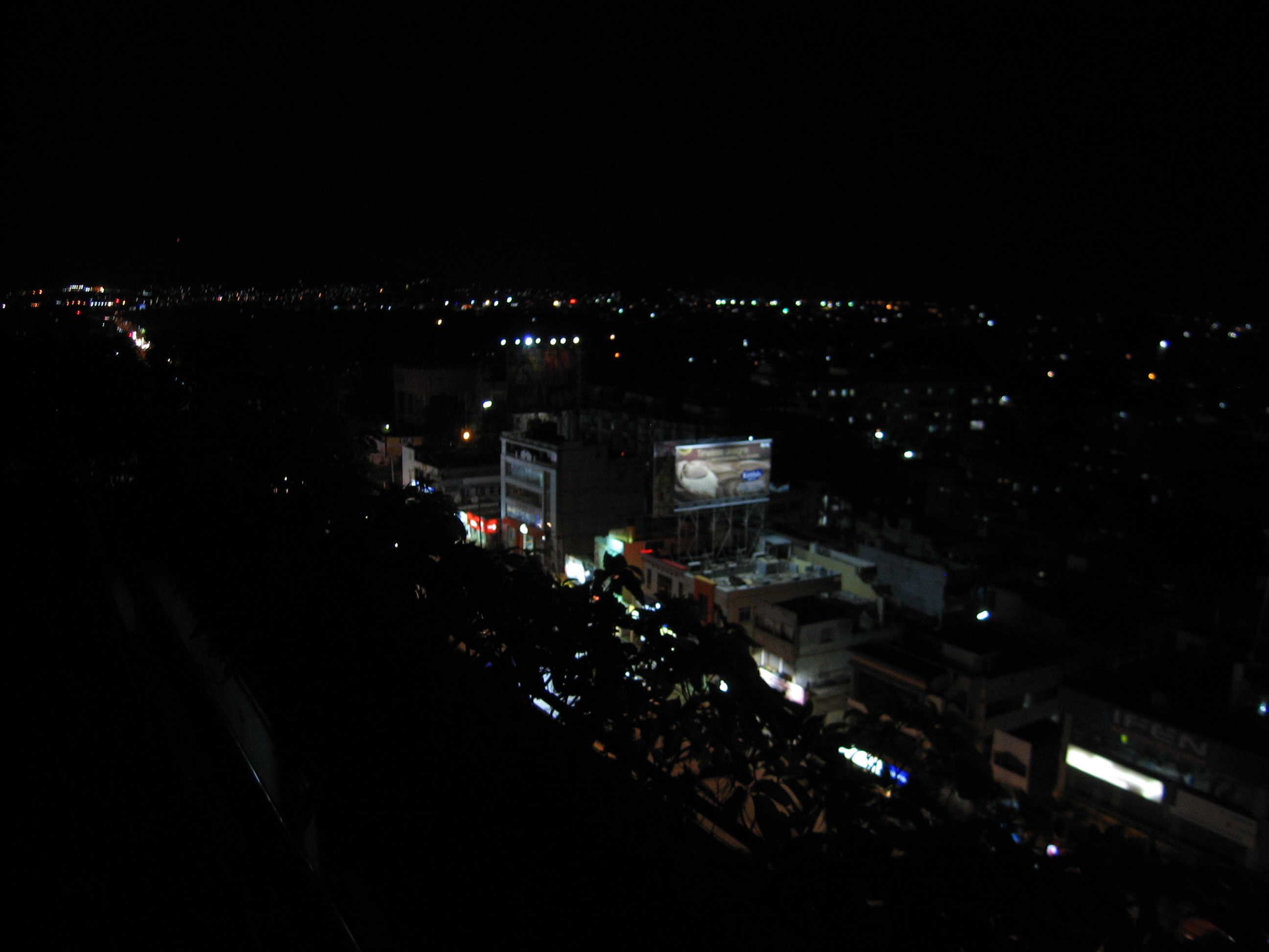
view form hotel at night
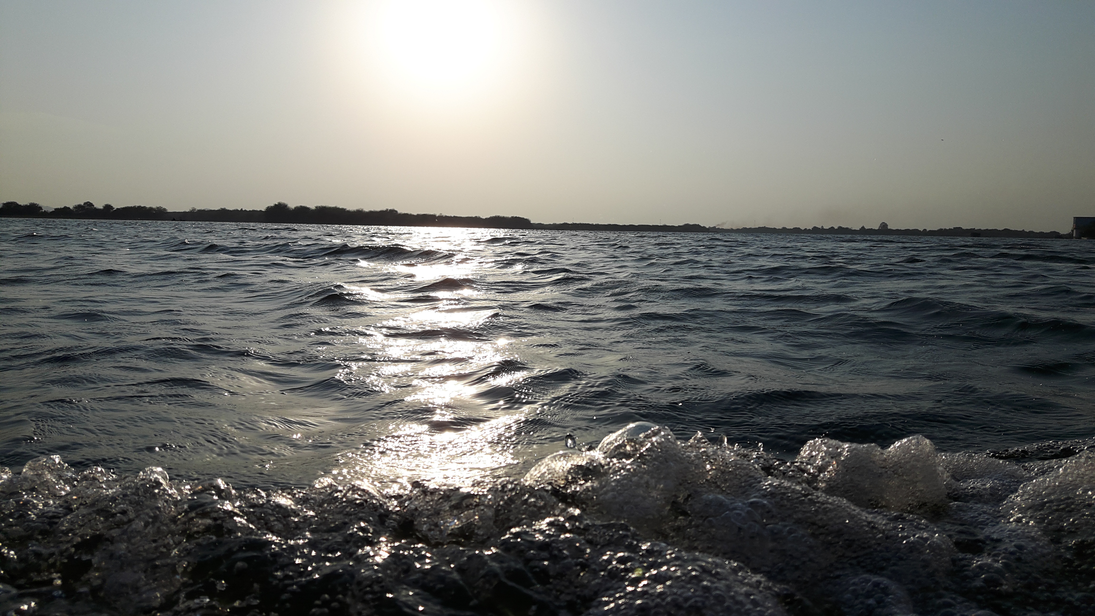
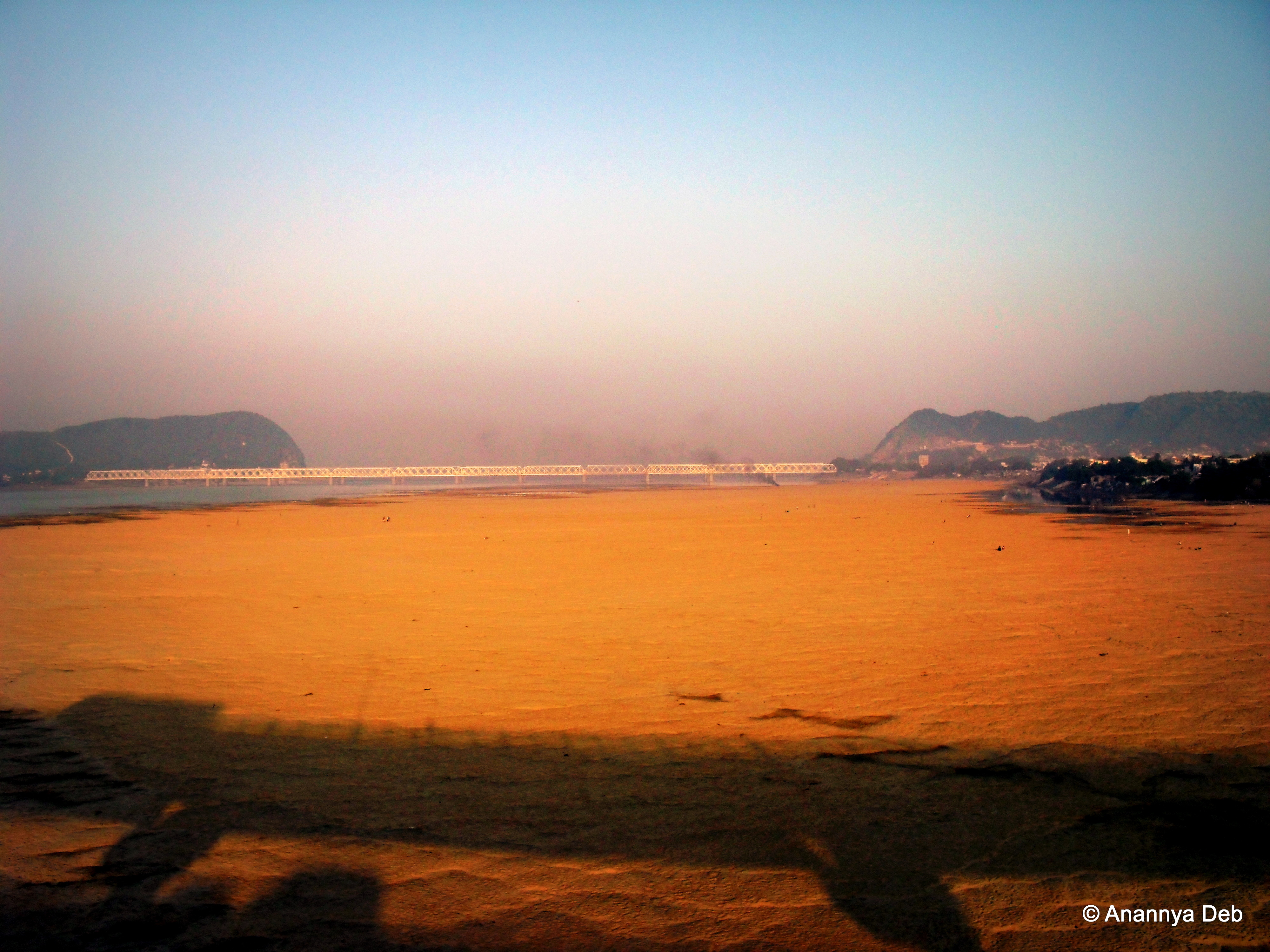
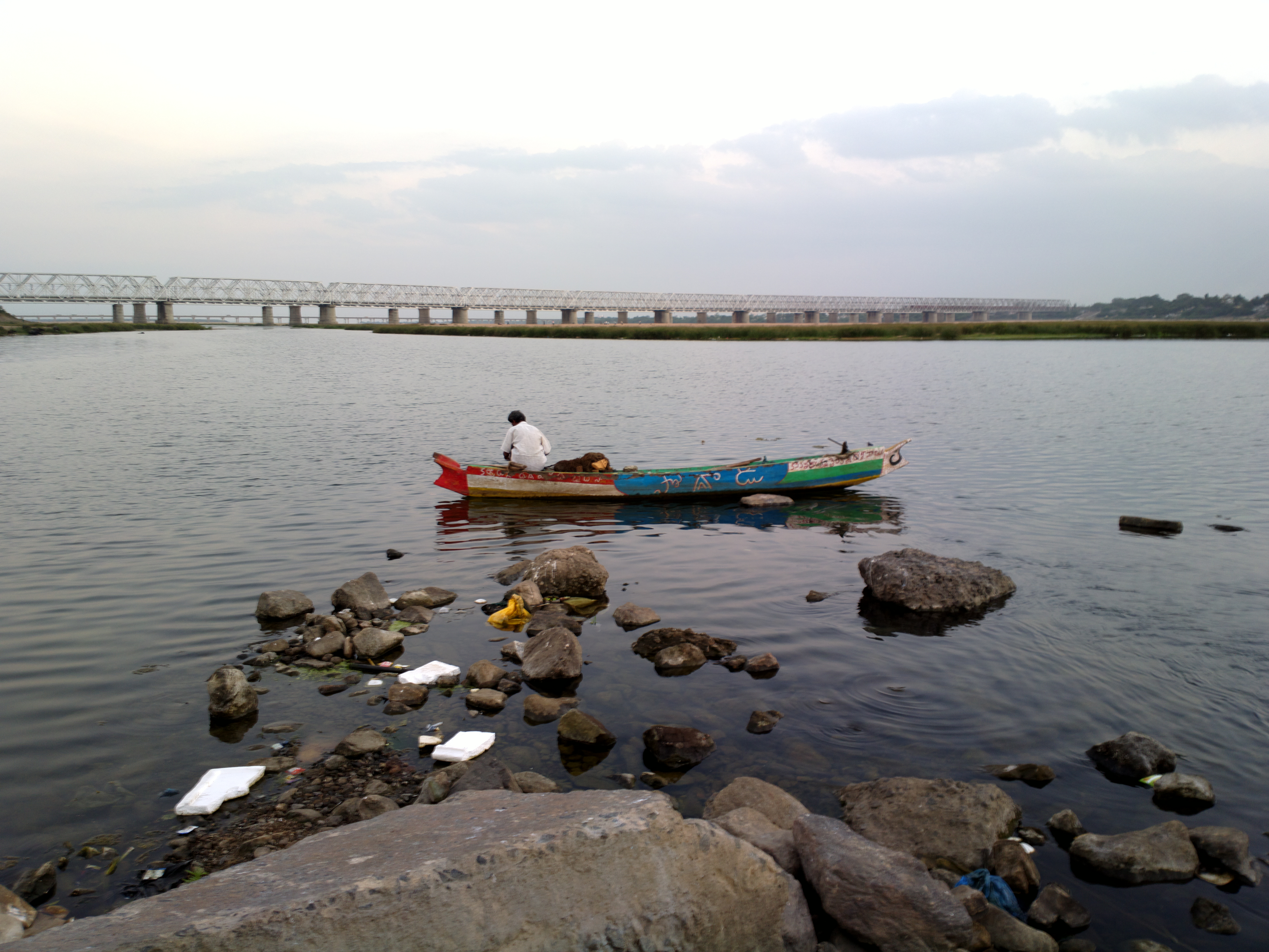
krishna river
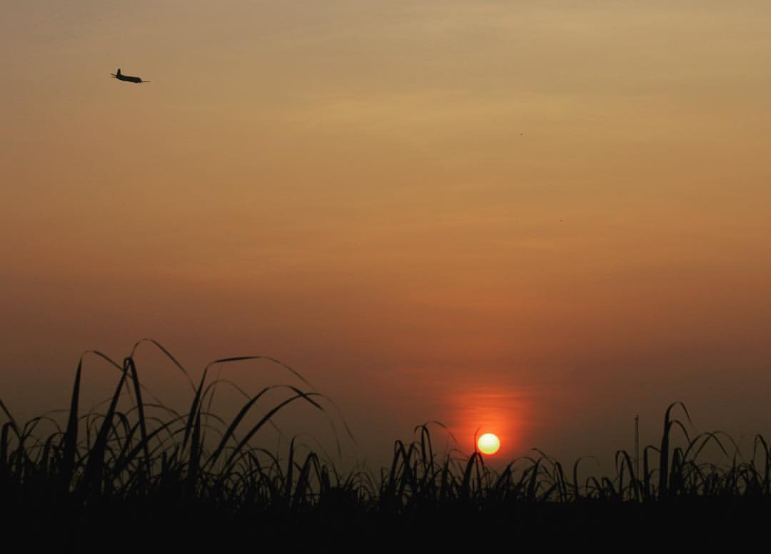
Bezawada airport n farmlands .. Once a scenic green patch is turning into a major airport..sadly farmlands are converted into villas. All in the name of #urban #development #vijayawada #hometown #travel #travelgram #india #incredibleindia #instagrammer #

Hyd_Tanuku_26-09-13_0056
Vijayawada, October 2009

Vijayawada, October 2009
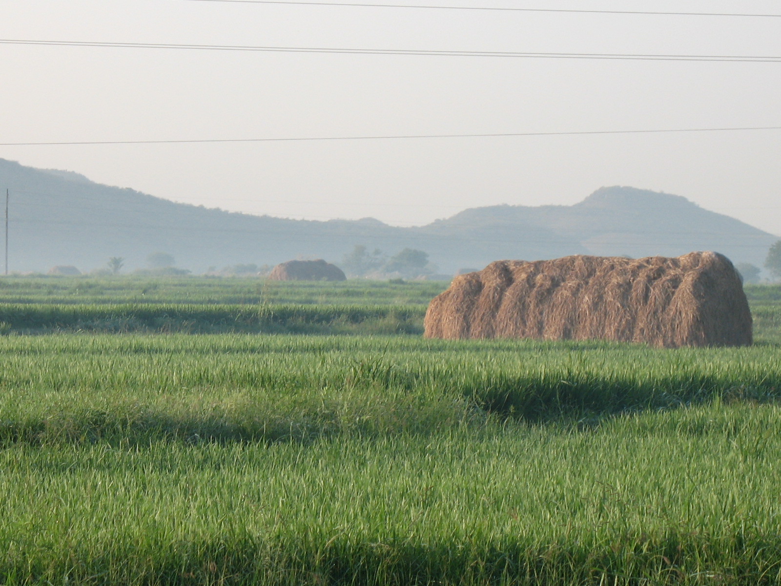
farm, early in the morn
2013-01-20-0220

Vijayawada, October 2009
College Days #Vizag #instagram #Beautiful
2013-01-29-0399

Vijayawada, October 2009
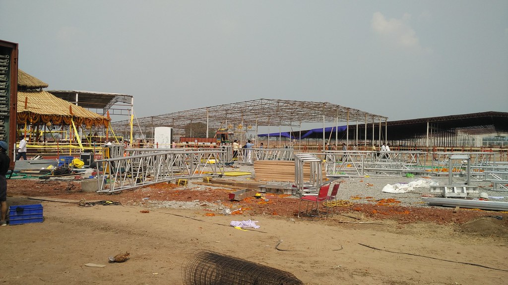
Amaravati foundation stone ceremony
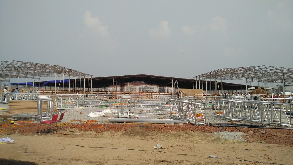
Amaravati foundation stone ceremony
Topographic Map of Vijayawada, Andhra Pradesh, India
Find elevation by address:

Places near Vijayawada, Andhra Pradesh, India:
Aeroplane Hotel
Krishna
Madduru
Andhra Pradesh Legislative Assembly
Venkatapuram
Vuyyuru
Uppalapadu
Tenali
Mallikarjuna Swamy Temple
Guntur
Amaravathi
Gudivada
Pamarru
Gudipadu
Nandigama
Challapalli
Pusuluru
Eluru
Alluru
Avanigadda
Recent Searches:
- Elevation of Pinewood Dr, New Bern, NC, USA
- Elevation of Mountain View, CA, USA
- Elevation of Foligno, Province of Perugia, Italy
- Elevation of Blauwestad, Netherlands
- Elevation of Bella Terra Blvd, Estero, FL, USA
- Elevation of Estates Loop, Priest River, ID, USA
- Elevation of Woodland Oak Pl, Thousand Oaks, CA, USA
- Elevation of Brownsdale Rd, Renfrew, PA, USA
- Elevation of Corcoran Ln, Suffolk, VA, USA
- Elevation of Mamala II, Sariaya, Quezon, Philippines