Elevation of Amaravathi, Andhra Pradesh, India
Location: India > Andhra Pradesh > Guntur >
Longitude: 80.3575128
Latitude: 16.5729831
Elevation: 38m / 125feet
Barometric Pressure: 101KPa
Elevation Map:
Satellite Map:
Related Photos:

Panorama - Hyderabad-Vijaywada Highway

Tibetan Buddhist Pilgrims

Hanuman Statue
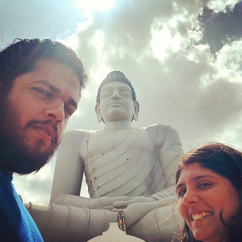
Priya (@happyfeetus), me (@lovell) and one huge #DhyanaBuddha. After a long bus journey from #Vijayawada to #Amaravathi, and a lot of walking around in the scourging heat, we finally found ourselves sharing space with a 125 feet tall #Buddha. Notice the

2012-12-22_11h27m35s

Vijayawada Highway
Topographic Map of Amaravathi, Andhra Pradesh, India
Find elevation by address:

Places near Amaravathi, Andhra Pradesh, India:
Andhra Pradesh Legislative Assembly
Nandigama
Mallikarjuna Swamy Temple
Guntur
Venkatapuram
Vijayawada
Uppalapadu
Krishna
Aeroplane Hotel
Madduru
Tenali
Thimmapuram
Pusuluru
Vuyyuru
Poluru
Gudivada
Pamarru
Gudipadu
Challapalli
Eluru
Recent Searches:
- Elevation of Lampiasi St, Sarasota, FL, USA
- Elevation of Elwyn Dr, Roanoke Rapids, NC, USA
- Elevation of Congressional Dr, Stevensville, MD, USA
- Elevation of Bellview Rd, McLean, VA, USA
- Elevation of Stage Island Rd, Chatham, MA, USA
- Elevation of Shibuya Scramble Crossing, 21 Udagawacho, Shibuya City, Tokyo -, Japan
- Elevation of Jadagoniai, Kaunas District Municipality, Lithuania
- Elevation of Pagonija rock, Kranto 7-oji g. 8"N, Kaunas, Lithuania
- Elevation of Co Rd 87, Jamestown, CO, USA
- Elevation of Tenjo, Cundinamarca, Colombia