Elevation map of Teton County, MT, USA
Location: United States > Montana >
Longitude: -112.27175
Latitude: 47.9019946
Elevation: 1230m / 4035feet
Barometric Pressure: 87KPa
Elevation Map:
Satellite Map:
Related Photos:
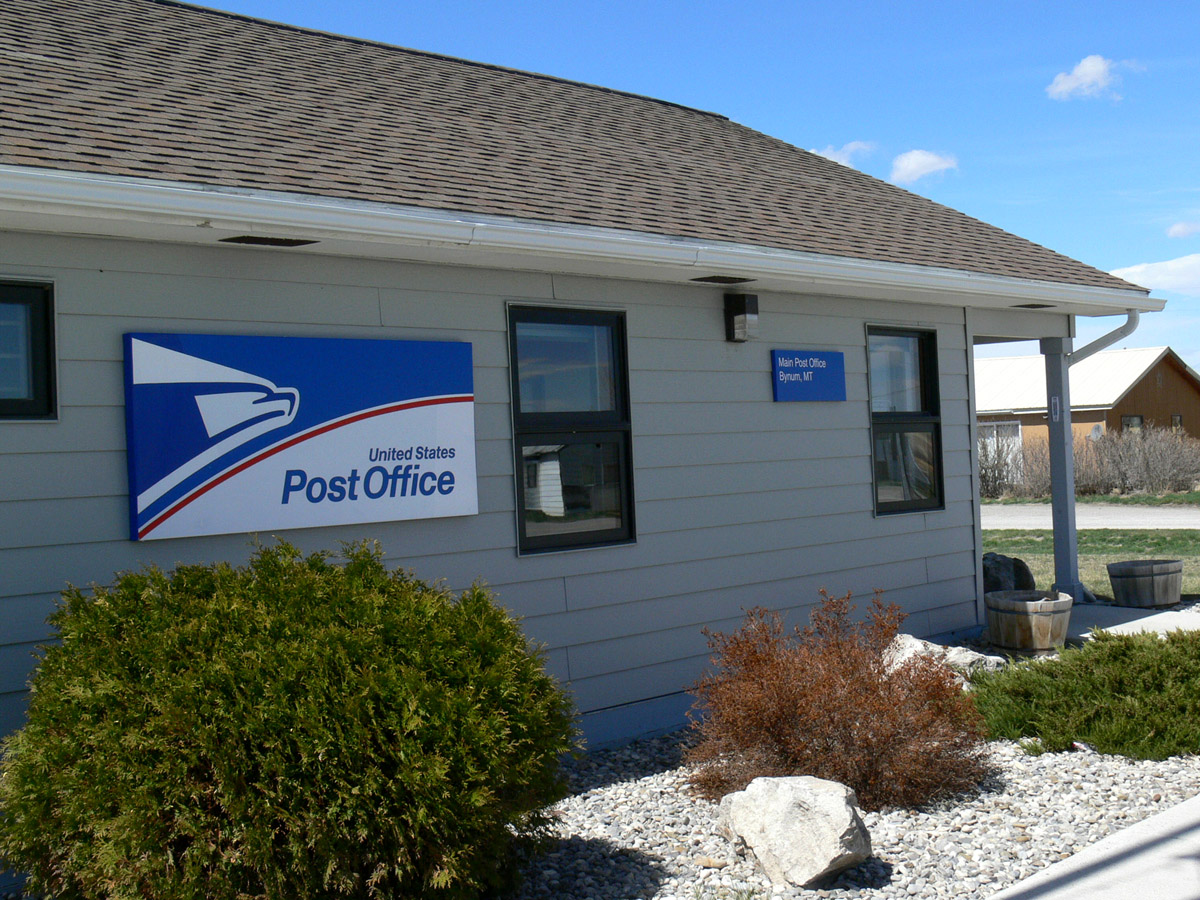
Bynum, Montana 59419
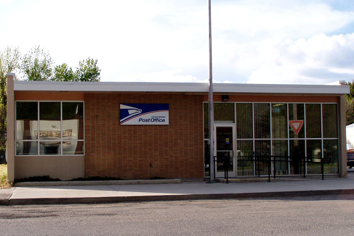
Choteau, Montana 59422

Choteau, Montana 59422
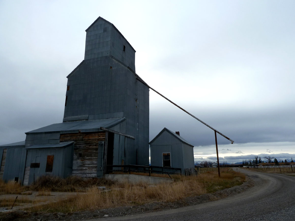
Farmington, Montana

Bill Gallea & Piper

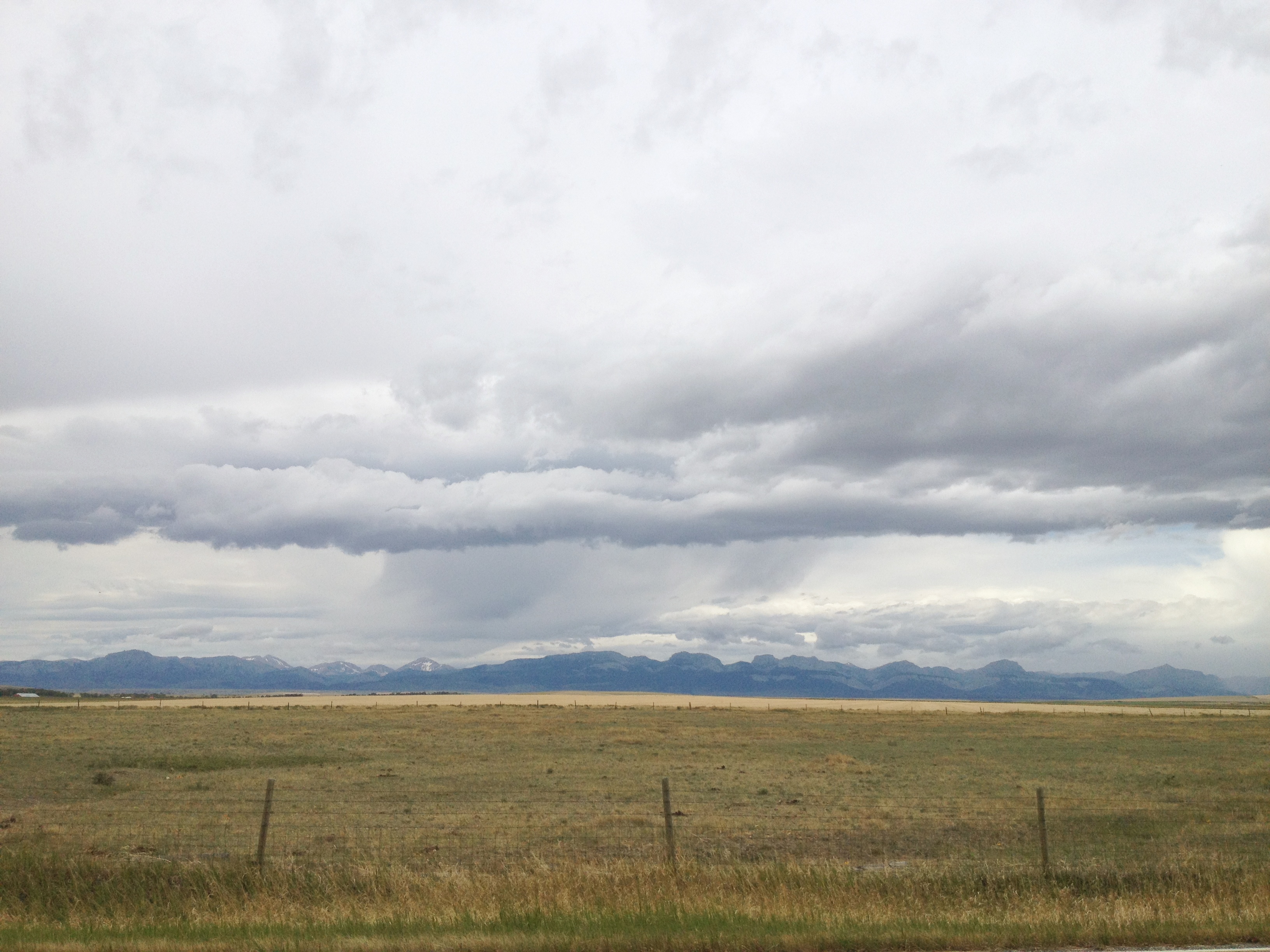
Sunset, Rocky Mountain Front, near Choteau, MT
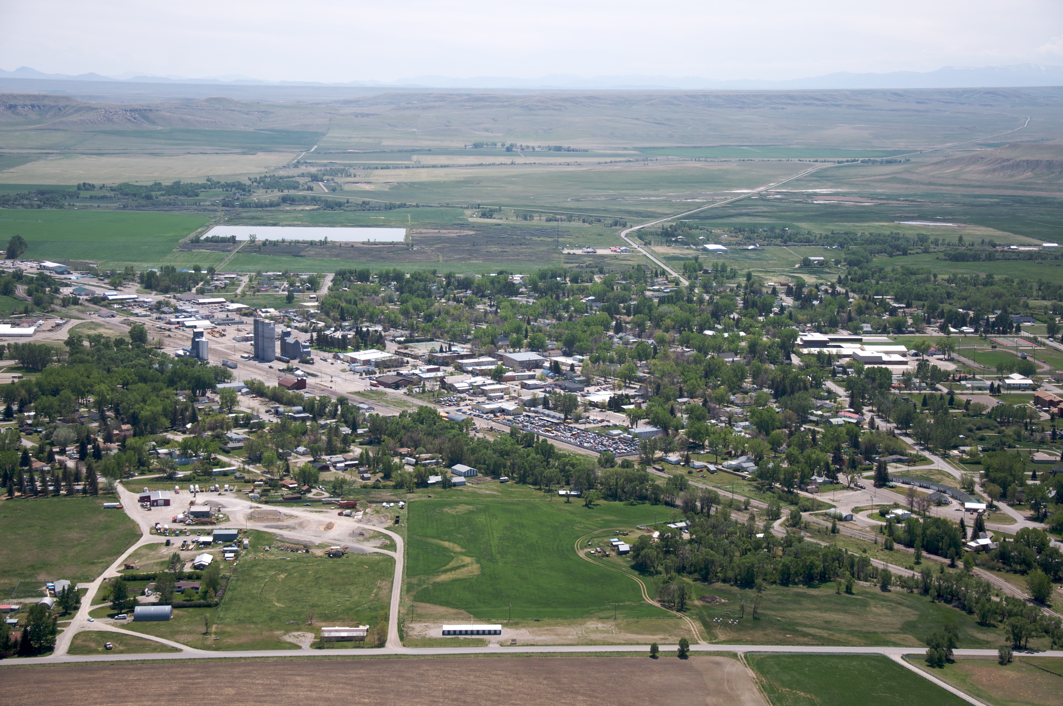
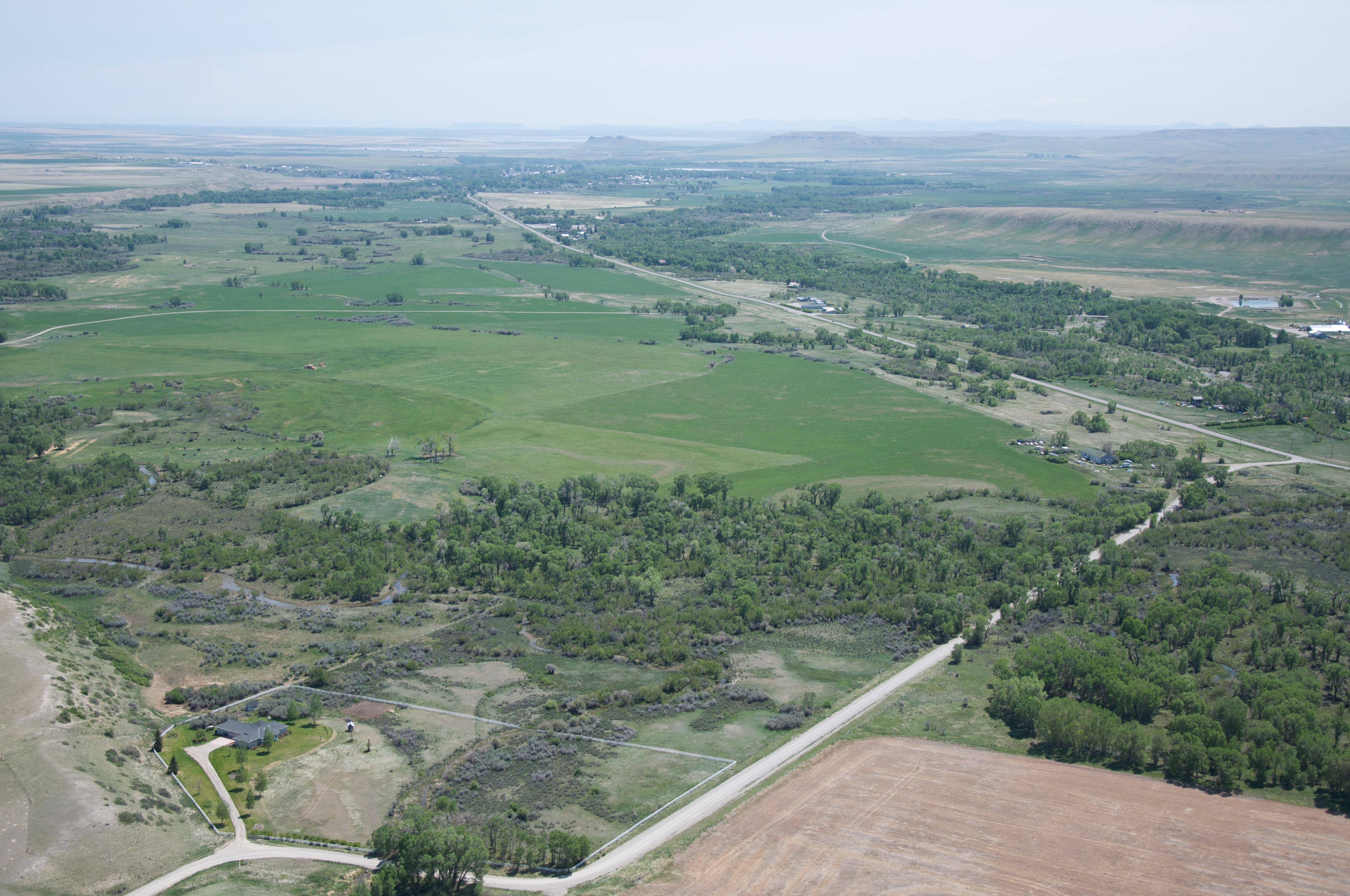
Choteau, Montana
Barhaughs place

I often overlook the simple beauty of the plains. #montana #simple #prarie #farm #ranching #exploremore #Travel @visitmontana
driving through montana
Topographic Map of Teton County, MT, USA
Find elevation by address:

Places in Teton County, MT, USA:
Places near Teton County, MT, USA:
Pendroy
Pondera County
Conrad
Brady
US-2, Shelby, MT, USA
1948 W Roosevelt Hwy
O'haire Manor Motel Of Shelby
620 1st St Se
Cut Bank
Shelby
21 Luedtke Rd
81 Luedtke Rd
Welker Farms
Potter Rd, Shelby, MT, USA
Faris School Rd, Brady, MT, USA
Tipville Rd, Cut Bank, MT, USA
Oilmont
Toole County
Sunburst
Galata
Recent Searches:
- Elevation of Corso Fratelli Cairoli, 35, Macerata MC, Italy
- Elevation of Tallevast Rd, Sarasota, FL, USA
- Elevation of 4th St E, Sonoma, CA, USA
- Elevation of Black Hollow Rd, Pennsdale, PA, USA
- Elevation of Oakland Ave, Williamsport, PA, USA
- Elevation of Pedrógão Grande, Portugal
- Elevation of Klee Dr, Martinsburg, WV, USA
- Elevation of Via Roma, Pieranica CR, Italy
- Elevation of Tavkvetili Mountain, Georgia
- Elevation of Hartfords Bluff Cir, Mt Pleasant, SC, USA