Elevation of Tecumseh, NE, USA
Location: United States > Nebraska > Johnson County > Maple Grove >
Longitude: -96.280086
Latitude: 40.3424732
Elevation: 391m / 1283feet
Barometric Pressure: 97KPa
Elevation Map:
Satellite Map:
Related Photos:

Robber Fly

Bleeding Hearts

Eastern Ringtail

Regal Fritillary

Pronghorn Clubtail

Pronghorn Clubtail

Pronghorn Clubtail
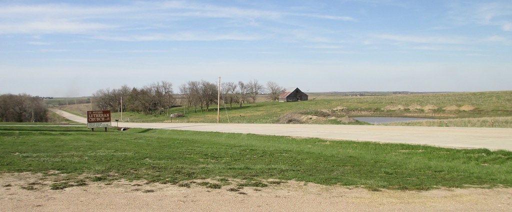
Southeastern Nebraska Landscape (Pawnee County, Nebraska)

Bee-like Robber Fly
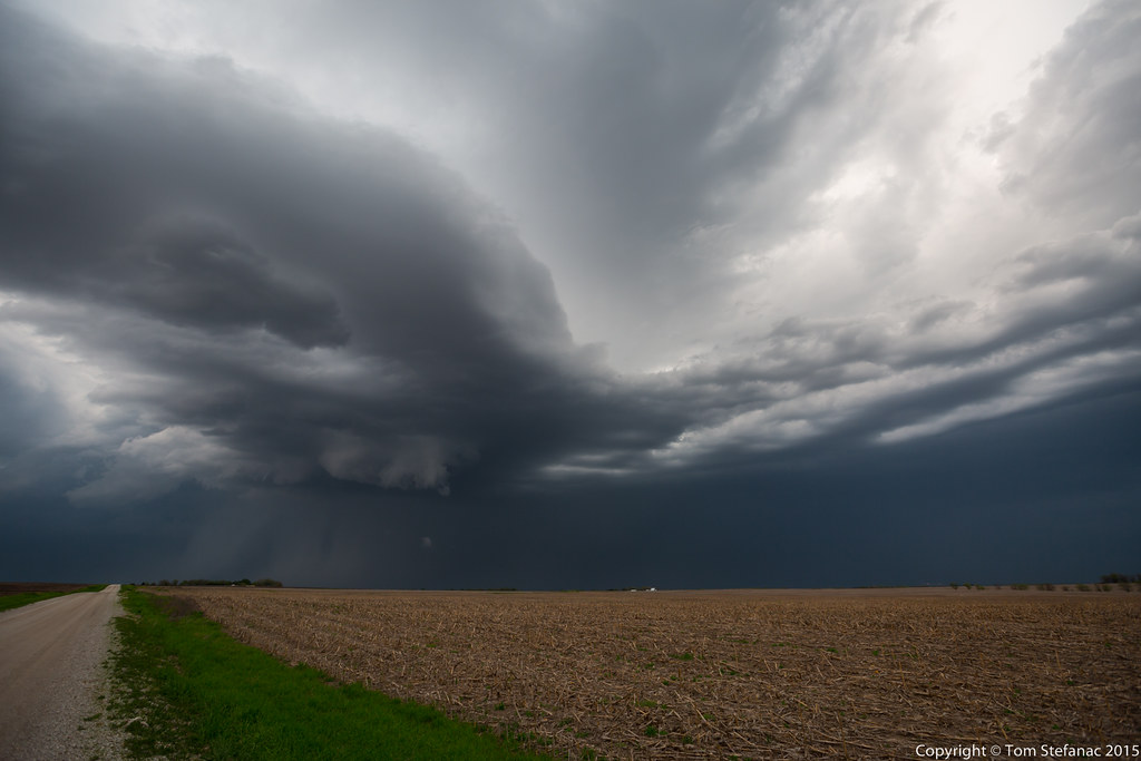
Still High Based
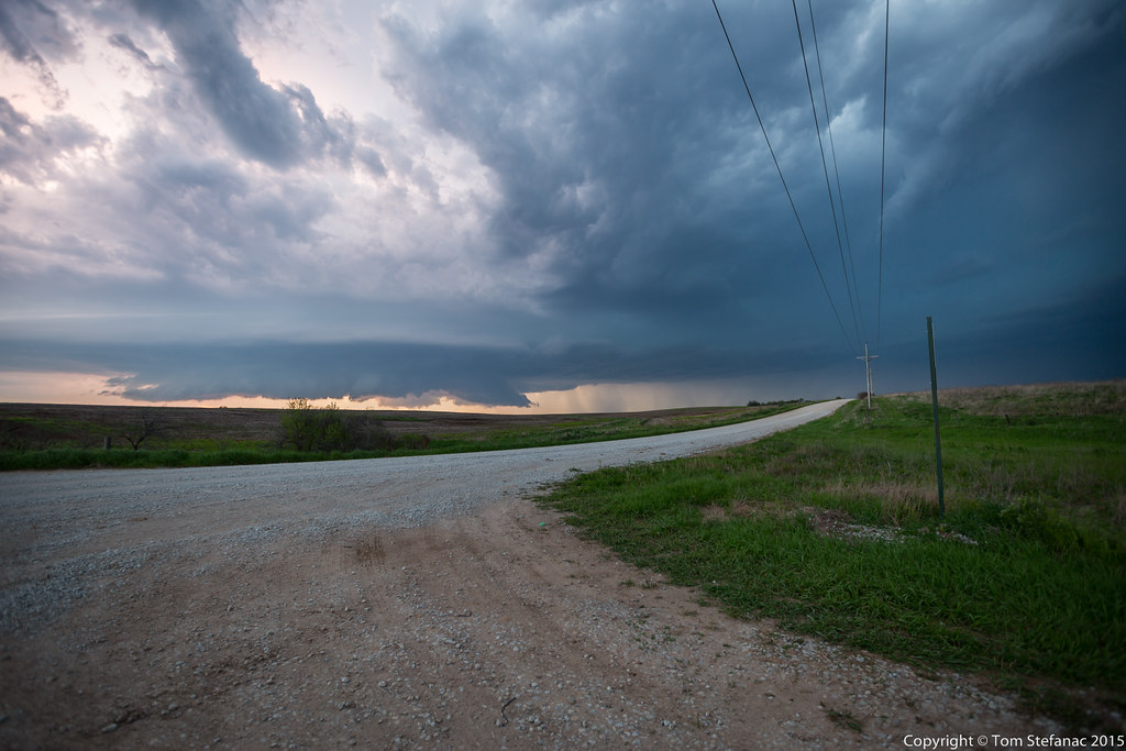
Supercell Number 2
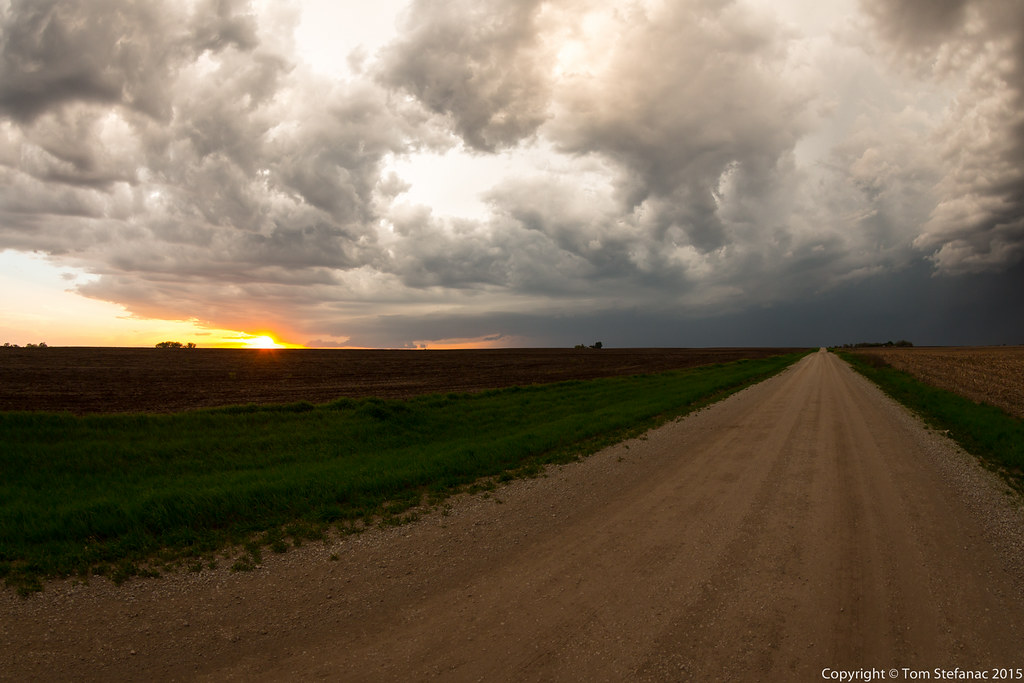
Supercell Storm 2
Topographic Map of Tecumseh, NE, USA
Find elevation by address:

Places near Tecumseh, NE, USA:
Maple Grove
Johnson County
Broadway St, Sterling, NE, USA
Richardson Ave, Lewiston, NE, USA
Lewiston
Hendricks
Pawnee County
6th St, Pawnee City, NE, USA
Adams
Douglas
12601 E Gage Rd
7909 E Hickory Rd
9th St, Brock, NE, USA
29360 S Golden Pond Rd
Otoe County
5109 E Hoyt Rd
South 54 Road
Firth
4376 E Hoyt Rd
Delaware
Recent Searches:
- Elevation of Lampiasi St, Sarasota, FL, USA
- Elevation of Elwyn Dr, Roanoke Rapids, NC, USA
- Elevation of Congressional Dr, Stevensville, MD, USA
- Elevation of Bellview Rd, McLean, VA, USA
- Elevation of Stage Island Rd, Chatham, MA, USA
- Elevation of Shibuya Scramble Crossing, 21 Udagawacho, Shibuya City, Tokyo -, Japan
- Elevation of Jadagoniai, Kaunas District Municipality, Lithuania
- Elevation of Pagonija rock, Kranto 7-oji g. 8"N, Kaunas, Lithuania
- Elevation of Co Rd 87, Jamestown, CO, USA
- Elevation of Tenjo, Cundinamarca, Colombia