Elevation of Adams, NE, USA
Location: United States > Nebraska > Gage County >
Longitude: -96.514308
Latitude: 40.4716467
Elevation: 382m / 1253feet
Barometric Pressure: 97KPa
Elevation Map:
Satellite Map:
Related Photos:

Red Saddlebag

Splendid Tiger Beetle

Inflow Base

Robber Fly

Robber Fly

Robber Fly

Robber Fly

Robber Fly

Blustery Day

Backyard Baby Bunny

Lightning through the Cloud
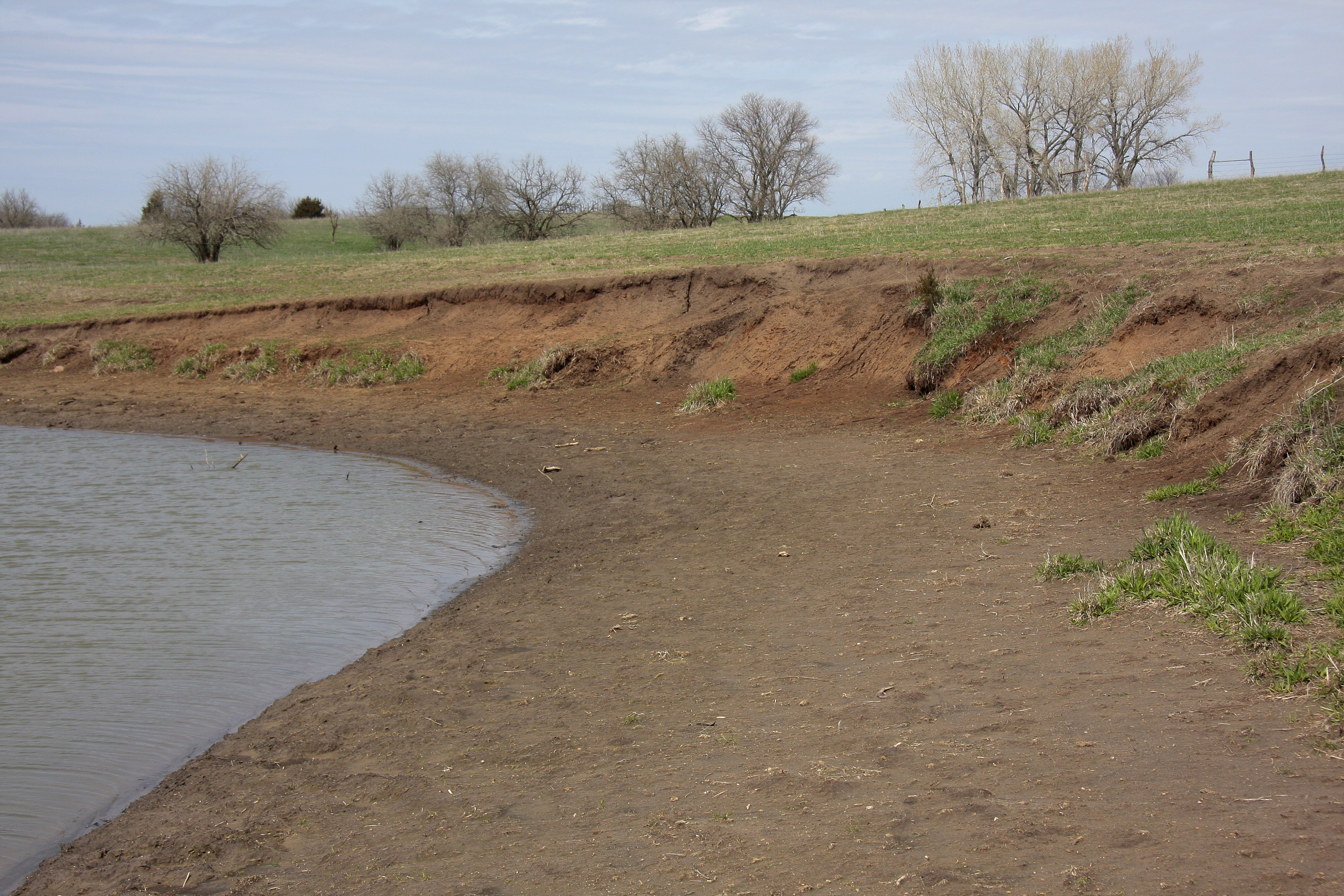
Combo clay bank & beach tiger beetle habitat

Cherry-faced Meadowhawk

Robber Fly

Robber Fly

Variegated Meadowhawk

Robber Fly

White-tailed deer

American Bumble Bee
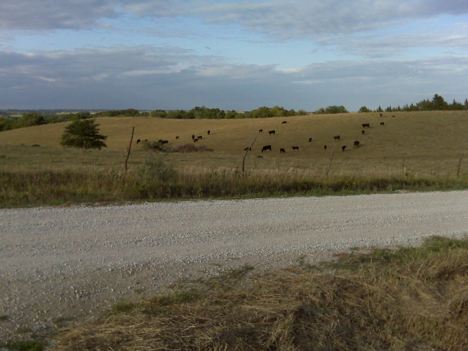
Angus cross

Robber Fly

Robber Fly

Robber Fly

Wall Cloud
Topographic Map of Adams, NE, USA
Find elevation by address:

Places near Adams, NE, USA:
12601 E Gage Rd
29360 S Golden Pond Rd
Firth
Broadway St, Sterling, NE, USA
South 54 Road
South Pass
Hendricks
Douglas
7909 E Hickory Rd
Cortland
Homestead Expy, Cortland, NE, USA
Johnson County
Highland
11100 S 120th St
Buda
5109 E Hoyt Rd
4376 E Hoyt Rd
200 Jerome And Betty Warner Expy
Lewiston
Richardson Ave, Lewiston, NE, USA
Recent Searches:
- Elevation of Tenjo, Cundinamarca, Colombia
- Elevation of Côte-des-Neiges, Montreal, QC H4A 3J6, Canada
- Elevation of Bobcat Dr, Helena, MT, USA
- Elevation of Zu den Ihlowbergen, Althüttendorf, Germany
- Elevation of Badaber, Peshawar, Khyber Pakhtunkhwa, Pakistan
- Elevation of SE Heron Loop, Lincoln City, OR, USA
- Elevation of Slanický ostrov, 01 Námestovo, Slovakia
- Elevation of Spaceport America, Co Rd A, Truth or Consequences, NM, USA
- Elevation of Warwick, RI, USA
- Elevation of Fern Rd, Whitmore, CA, USA