Elevation of E Gage Rd, Firth, NE, USA
Location: United States > Nebraska > Gage County > Adams >
Longitude: -96.550345
Latitude: 40.5229841
Elevation: 412m / 1352feet
Barometric Pressure: 96KPa
Elevation Map:
Satellite Map:
Related Photos:

Red Saddlebag

Splendid Tiger Beetle

Inflow Base

Robber Fly

Robber Fly

Robber Fly

Robber Fly

White-tailed deer
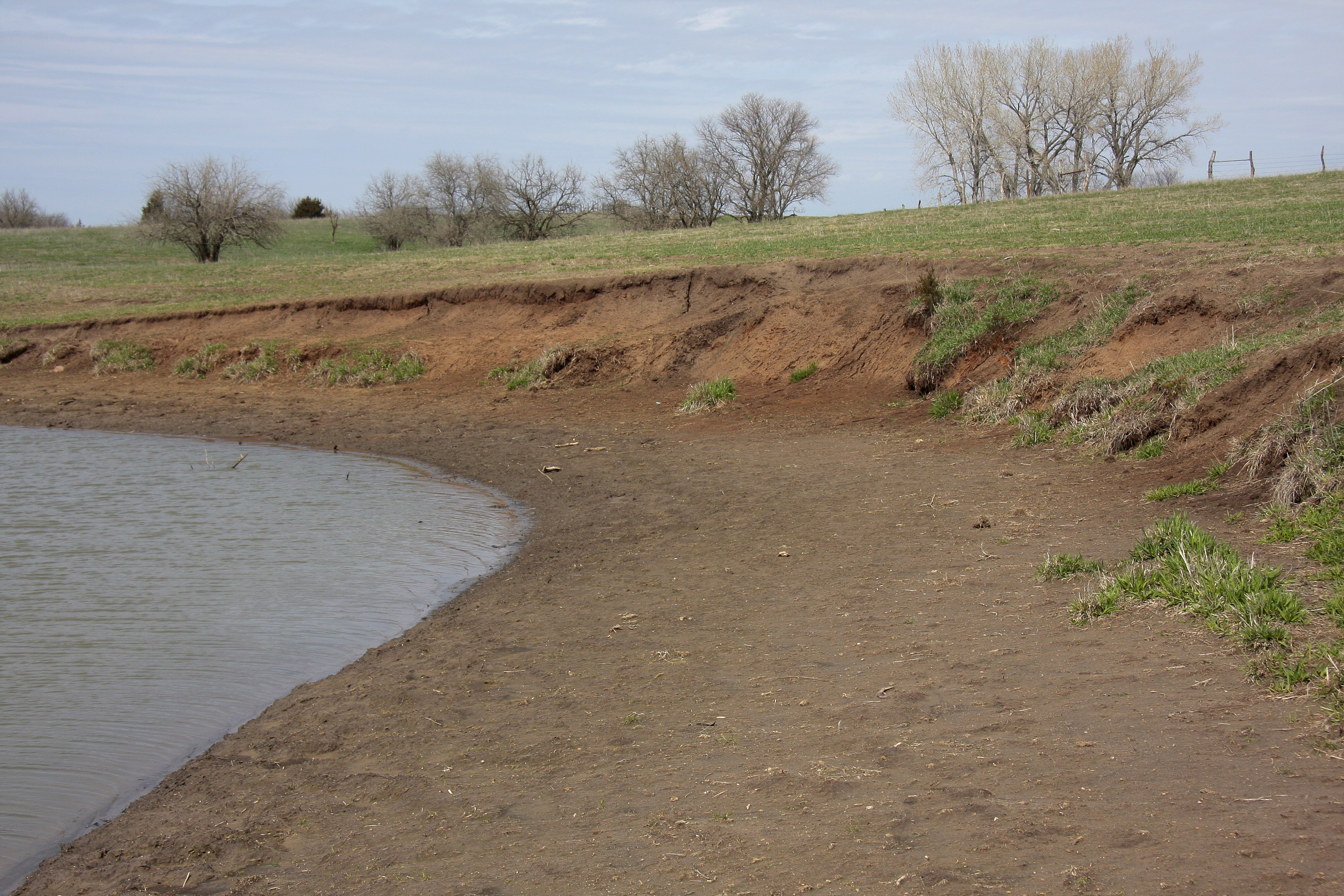
Combo clay bank & beach tiger beetle habitat

Cherry-faced Meadowhawk

Robber Fly

Variegated Meadowhawk

Robber Fly

Robber Fly

Blustery Day

Backyard Baby Bunny

A Cliche

Wild Sunflowers

Lightning through the Cloud

Robber Fly

6.17.16-7 Charlie

Robber Fly
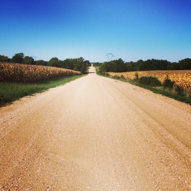
I love this place. #gravel #nebraska
Topographic Map of E Gage Rd, Firth, NE, USA
Find elevation by address:

Places near E Gage Rd, Firth, NE, USA:
29360 S Golden Pond Rd
Firth
Adams
South Pass
South 54 Road
Cortland
Homestead Expy, Cortland, NE, USA
Hendricks
Douglas
11100 S 120th St
Highland
Broadway St, Sterling, NE, USA
Buda
10400 Yankee Hill Rd
9221 S 74th St
Grant
200 Jerome And Betty Warner Expy
Gana Trucking & Excavating
7909 E Hickory Rd
7500 S 91st St
Recent Searches:
- Elevation of Warwick, RI, USA
- Elevation of Fern Rd, Whitmore, CA, USA
- Elevation of 62 Abbey St, Marshfield, MA, USA
- Elevation of Fernwood, Bradenton, FL, USA
- Elevation of Felindre, Swansea SA5 7LU, UK
- Elevation of Leyte Industrial Development Estate, Isabel, Leyte, Philippines
- Elevation of W Granada St, Tampa, FL, USA
- Elevation of Pykes Down, Ivybridge PL21 0BY, UK
- Elevation of Jalan Senandin, Lutong, Miri, Sarawak, Malaysia
- Elevation of Bilohirs'k