Elevation of Broadway St, Sterling, NE, USA
Location: United States > Nebraska >
Longitude: -96.376775
Latitude: 40.4590375
Elevation: 363m / 1191feet
Barometric Pressure: 97KPa
Elevation Map:
Satellite Map:
Related Photos:

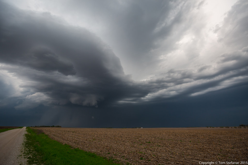
Inflow Base

Lightning through the Cloud

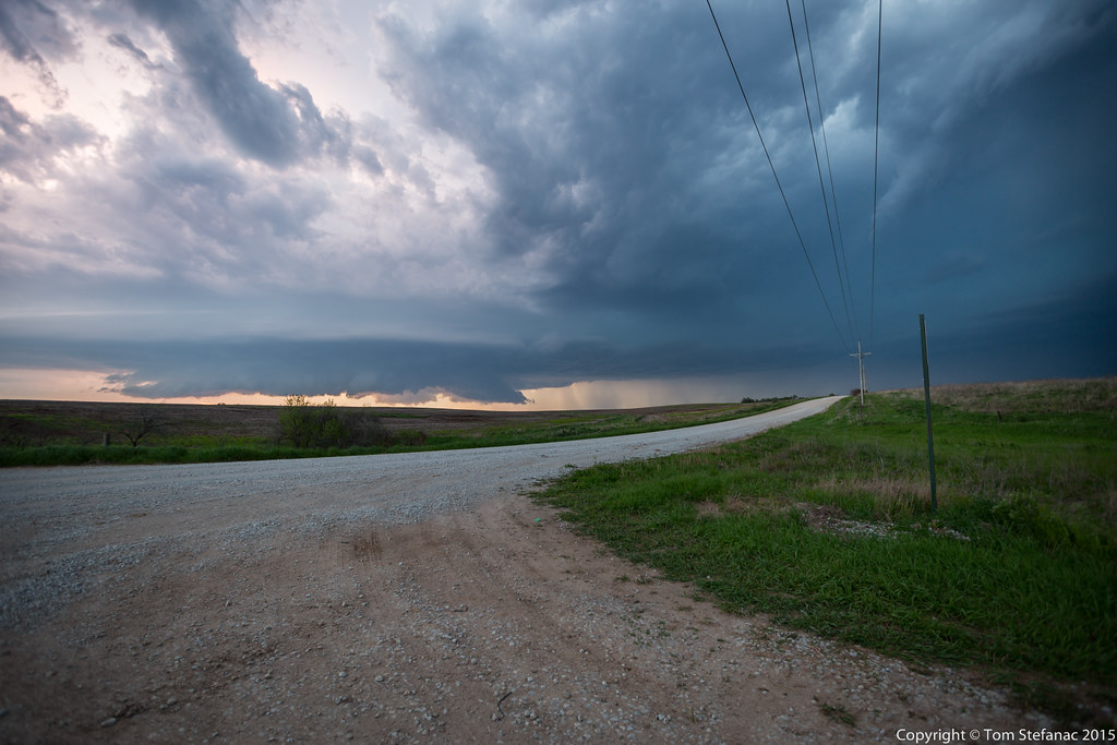
Blustery Day

Angus cross

Wall Cloud
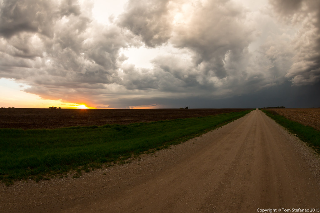
Still High Based
Supercell Number 2

Close Pass 1
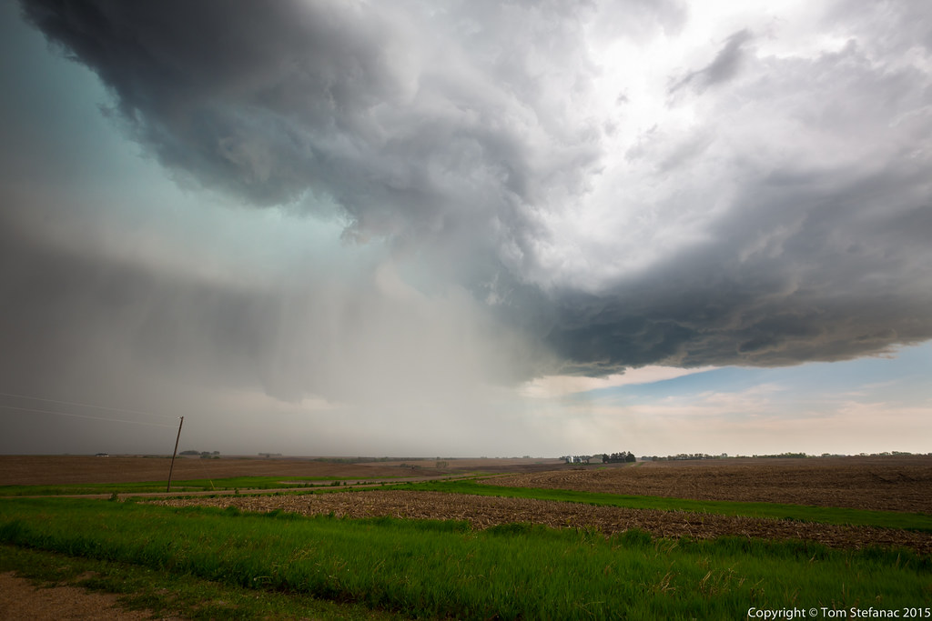
Vaulted Region 2
Supercell Storm 2
Topographic Map of Broadway St, Sterling, NE, USA
Find elevation by address:

Places near Broadway St, Sterling, NE, USA:
Johnson County
Hendricks
Douglas
Adams
Tecumseh, NE, USA
Maple Grove
12601 E Gage Rd
29360 S Golden Pond Rd
Lewiston
Richardson Ave, Lewiston, NE, USA
Firth
200 Jerome And Betty Warner Expy
South Pass
South 54 Road
7909 E Hickory Rd
11100 S 120th St
Stockton
5109 E Hoyt Rd
Cortland
Homestead Expy, Cortland, NE, USA
Recent Searches:
- Elevation of Kreuzburger Weg 13, Düsseldorf, Germany
- Elevation of Gateway Blvd SE, Canton, OH, USA
- Elevation of East W.T. Harris Boulevard, E W.T. Harris Blvd, Charlotte, NC, USA
- Elevation of West Sugar Creek, Charlotte, NC, USA
- Elevation of Wayland, NY, USA
- Elevation of Steadfast Ct, Daphne, AL, USA
- Elevation of Lagasgasan, X+CQH, Tiaong, Quezon, Philippines
- Elevation of Rojo Ct, Atascadero, CA, USA
- Elevation of Flagstaff Drive, Flagstaff Dr, North Carolina, USA
- Elevation of Avery Ln, Lakeland, FL, USA