Elevation of Taylor Canyon, Almont, CO, USA

Location: United States > Colorado > Almont >

Longitude: -106.77475

Latitude: 38.7219375

Elevation: 2537m / 8323feet

Barometric Pressure: 74KPa

Elevation Map:

elevation map of Taylor Canyon, Almont, CO, USA

Satellite Map:

Satellite map of Taylor Canyon, Almont, CO, USA

Related Photos:

muledeer doe fawn mother mama littleone mammal wildlife nature roaringjudyfishhatchery colorado green deer nikon d500 tripod 600mm
What is it, mama?
View down the valley from Copper Lake
gunnisonriver colorado almont cottonwoods willow fragrantsumac river mountains canyon fall autumn landscape earthnaturelife wondersofnature breathtakinglandscapes
Fall on the Gunnison
mountains landscape colorado fallcolors scenic flyfishing aspen quakingaspen taylorriver wondersofnature flyfishermen earthnaturelife
Fly Fishermen
best landscape clouds colorado hdr nature
Crested Butte, Colorado
crestedbutte colorado unitedstates us autumn mountain snow snowcapped
Crested Butte-903501
continentaldivide cabincreek dusk mountains sky sunset tomichidome venusbelt
IMGP3737-Edit
square squareformat iphoneography instagramapp xproii uploaded:by=instagram
driving back down to Gunnison
crestedbutte colorado rach landscape mountain grass clouds cow animal fence cattle 201107 wildflower summer resort green best hdr
Crested Butte, Colorado
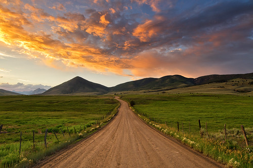
county sunset summer colorado butte crested crestedbutte gunnison almont
Gunnison County Sunset
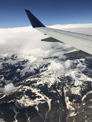
wings usa weather landscape snow colour travel flying fly colorado
Hello Colorado, you gorgeous thing! ✈️????
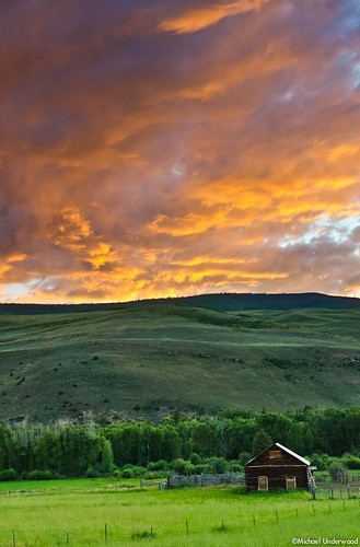
sunset summer mountains barn colorado historic crestedbutte gunnison gunnisoncounty
Gunnison County Sunset
lasmdw
Henry Mountain, Fossil Ridge Wilderness, Sawatch Range, Colorado
trees panorama storm nature rain clouds landscape rainbow colorado gimp crested crestedbutte hugin dcraw gmic cementmountain chdk luminancehdr
Cement Mountain Storm
trees sunset storm nature rain clouds landscape rainbow colorado gimp doublerainbow crested crestedbutte dcraw gmic cementmountain chdk luminancehdr
Cement Mountain Rainbow
sky mountains rock rural colorado imagination stoneface almont
Great stone face
square squareformat mayfair iphoneography instagramapp uploaded:by=instagram
Gunnison River, at the edge of the ice-fog
day2 harmels ride1 taylorriver almot colorado widowcreek
Taylor River
fallfoliage taylorriver coloradofallcolors
Taylor River Fall Colors
square squareformat mayfair iphoneography instagramapp uploaded:by=instagram
driving back toward the icy fog at lower elevations...
Taylor River Rocks
colorado co landscapes gunnisoncounty gunnisonnationalforest nationalforests unitedstatesforestservice almont northamerica unitedstates us rockymountains
Gunnison National Forest (Almont, Colorado)
Reno-Flag-Bear-Deadman Gulch loop