Elevation of Boston Peak, Colorado, USA
Location: United States > Colorado > Gunnison County > Crested Butte >
Longitude: -106.74447
Latitude: 38.851937
Elevation: 3560m / 11680feet
Barometric Pressure: 65KPa
Elevation Map:
Satellite Map:
Related Photos:

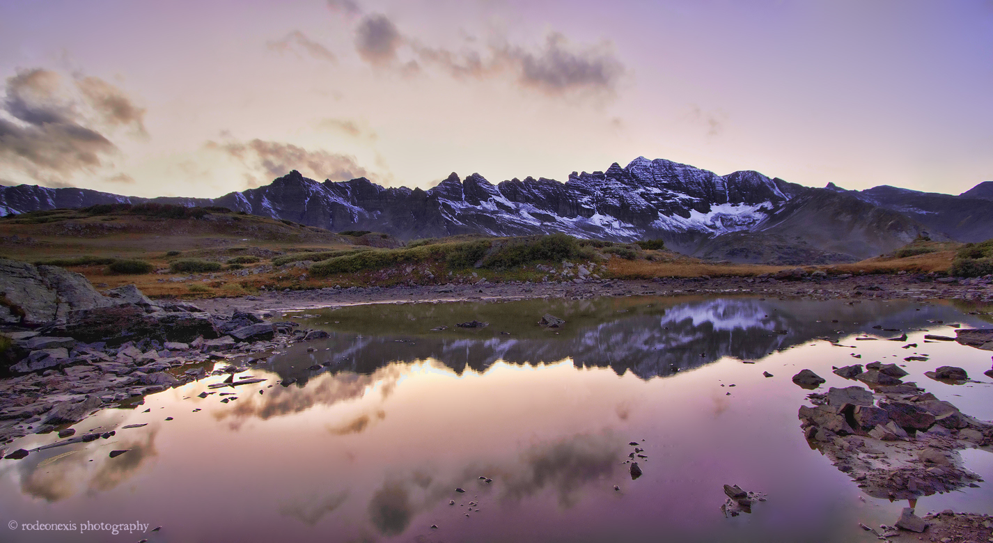
View down the valley from Copper Lake
Evening Falls on Castle Peak

North (pano)
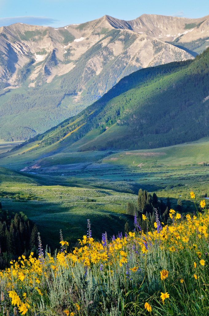
Mountains, Aspens, & Wildflowers

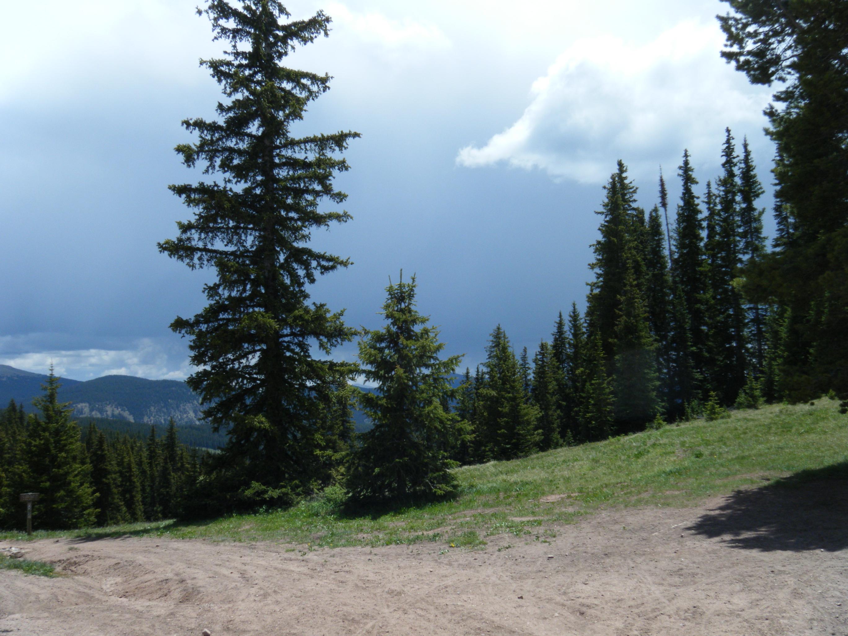
DSCF0368.JPG
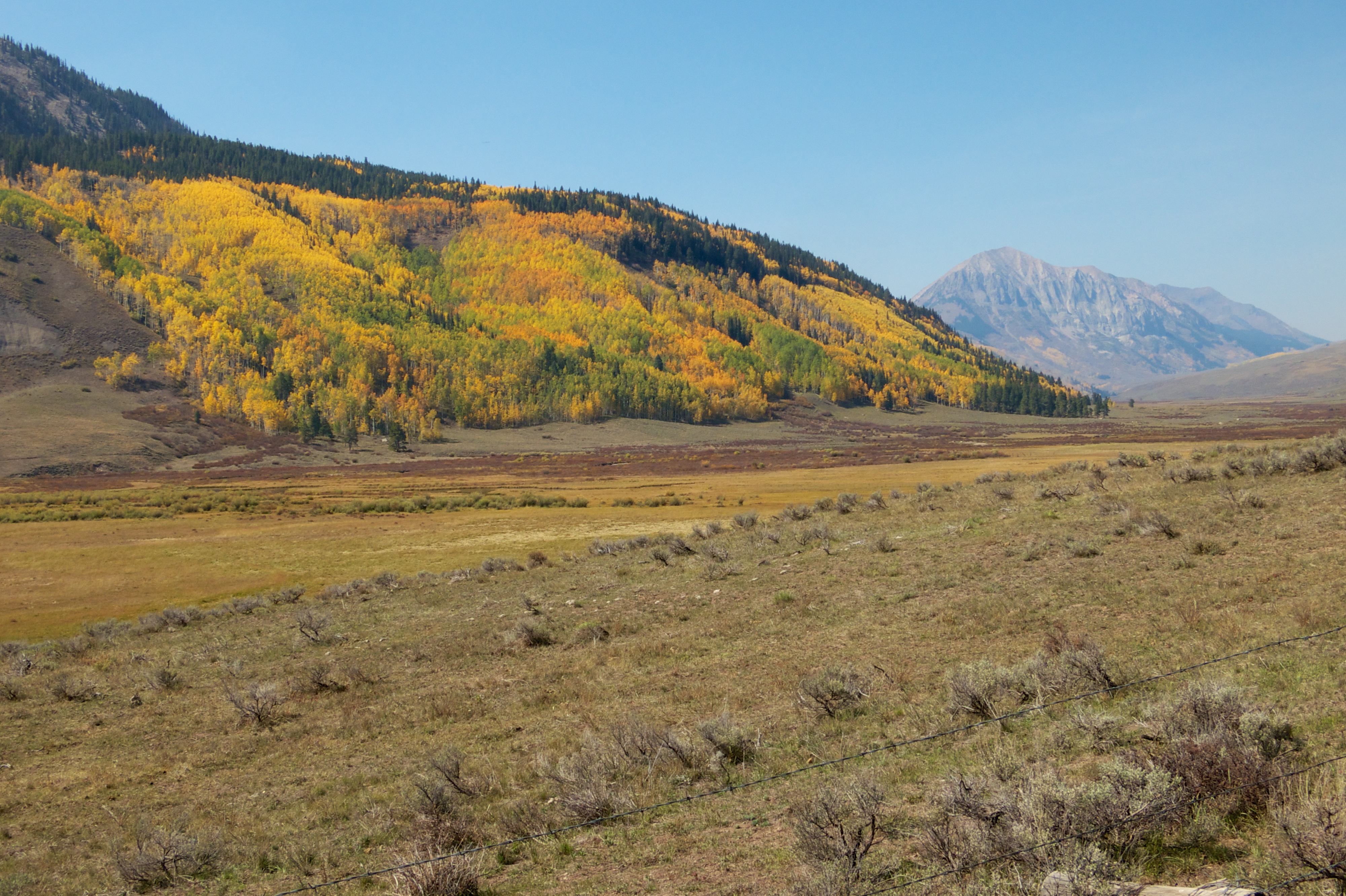
East River Valley, Crested Butte, CO
DSCF0369.JPG
DSCF0379.JPG

Pearl Pass, 12,705'

Pearl Pass, 12,705'
Topographic Map of Boston Peak, Colorado, USA
Find elevation by address:

Places near Boston Peak, Colorado, USA:
Manganese Peak
East Cement Mountain
Forest Hill
Cement Creek Campground
Cement Mountain
American Flag Mountain
Double Top South
Italian Mountain
Double Top North
Matchless Mountain
One Mile Campground
Crystal Peak
Co Rd, Almont, CO, USA
Round Mountain
Taylor Canyon
Star Peak
Lottis Creek Campground
Taylor Peak
17239 Co-135
Park Cone
Recent Searches:
- Elevation of Corso Fratelli Cairoli, 35, Macerata MC, Italy
- Elevation of Tallevast Rd, Sarasota, FL, USA
- Elevation of 4th St E, Sonoma, CA, USA
- Elevation of Black Hollow Rd, Pennsdale, PA, USA
- Elevation of Oakland Ave, Williamsport, PA, USA
- Elevation of Pedrógão Grande, Portugal
- Elevation of Klee Dr, Martinsburg, WV, USA
- Elevation of Via Roma, Pieranica CR, Italy
- Elevation of Tavkvetili Mountain, Georgia
- Elevation of Hartfords Bluff Cir, Mt Pleasant, SC, USA