Elevation of Manganese Peak, Colorado, USA
Location: United States > Colorado > Almont >
Longitude: -106.74364
Latitude: 38.7827709
Elevation: 3394m / 11135feet
Barometric Pressure: 67KPa
Elevation Map:
Satellite Map:
Related Photos:

North (pano)
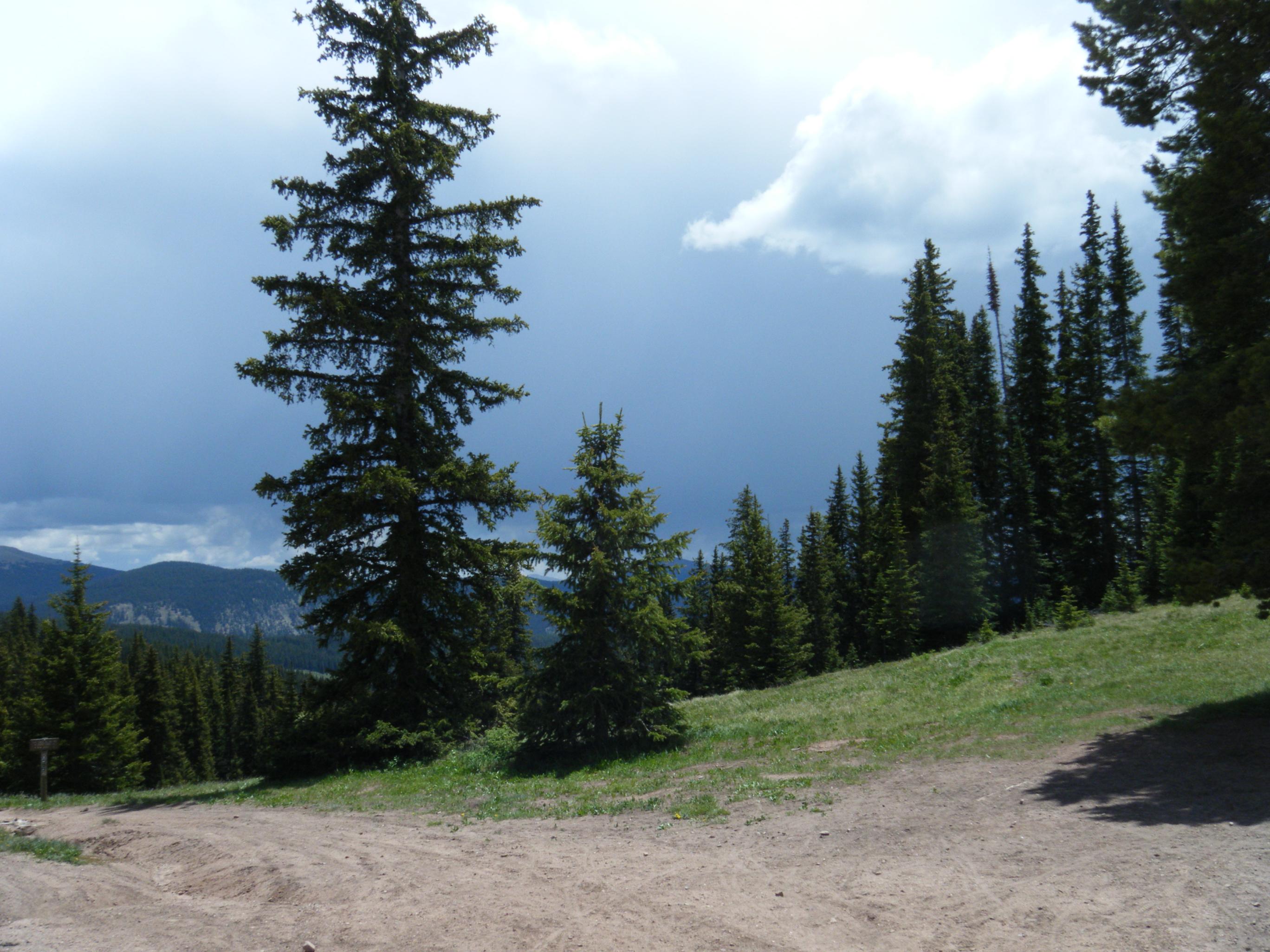
DSCF0379.JPG

View down the valley from Copper Lake
Topographic Map of Manganese Peak, Colorado, USA
Find elevation by address:

Places near Manganese Peak, Colorado, USA:
East Cement Mountain
One Mile Campground
Taylor Canyon
Boston Peak
Cement Mountain
Cement Creek Campground
Round Mountain
Matchless Mountain
Co Rd, Almont, CO, USA
Lottis Creek Campground
17239 Co-135
Double Top South
Forest Hill
Double Top North
Park Cone
American Flag Mountain
Fossil Ridge
Almont
Henry Mountain
50 Rainbow Dr
Recent Searches:
- Elevation of Corso Fratelli Cairoli, 35, Macerata MC, Italy
- Elevation of Tallevast Rd, Sarasota, FL, USA
- Elevation of 4th St E, Sonoma, CA, USA
- Elevation of Black Hollow Rd, Pennsdale, PA, USA
- Elevation of Oakland Ave, Williamsport, PA, USA
- Elevation of Pedrógão Grande, Portugal
- Elevation of Klee Dr, Martinsburg, WV, USA
- Elevation of Via Roma, Pieranica CR, Italy
- Elevation of Tavkvetili Mountain, Georgia
- Elevation of Hartfords Bluff Cir, Mt Pleasant, SC, USA