Elevation of Henry Mountain, Colorado, USA
Location: United States > Colorado > Gunnison County > Ohio City >
Longitude: -106.62114
Latitude: 38.6855494
Elevation: 4041m / 13258feet
Barometric Pressure: 61KPa
Elevation Map:
Satellite Map:
Related Photos:
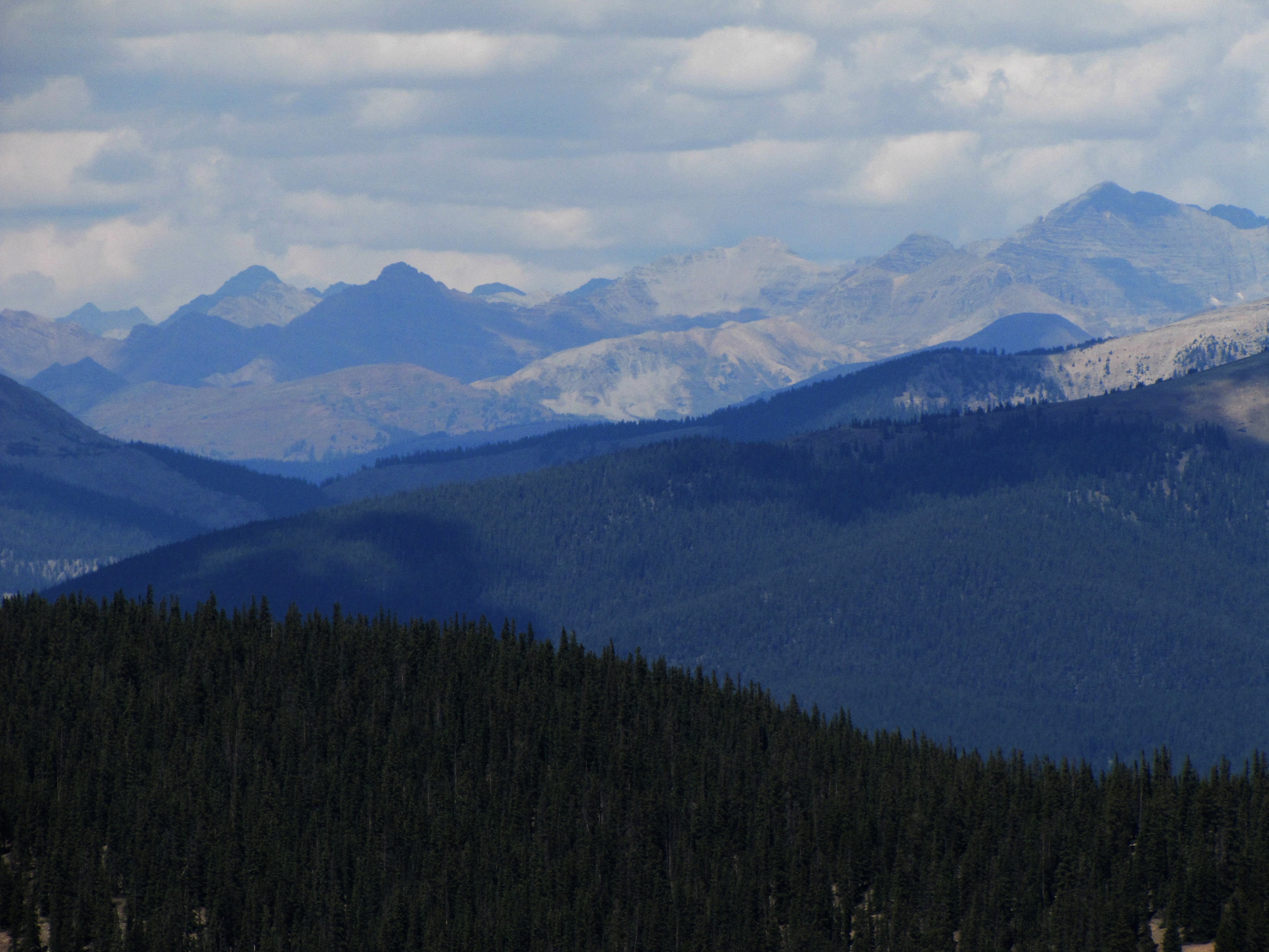
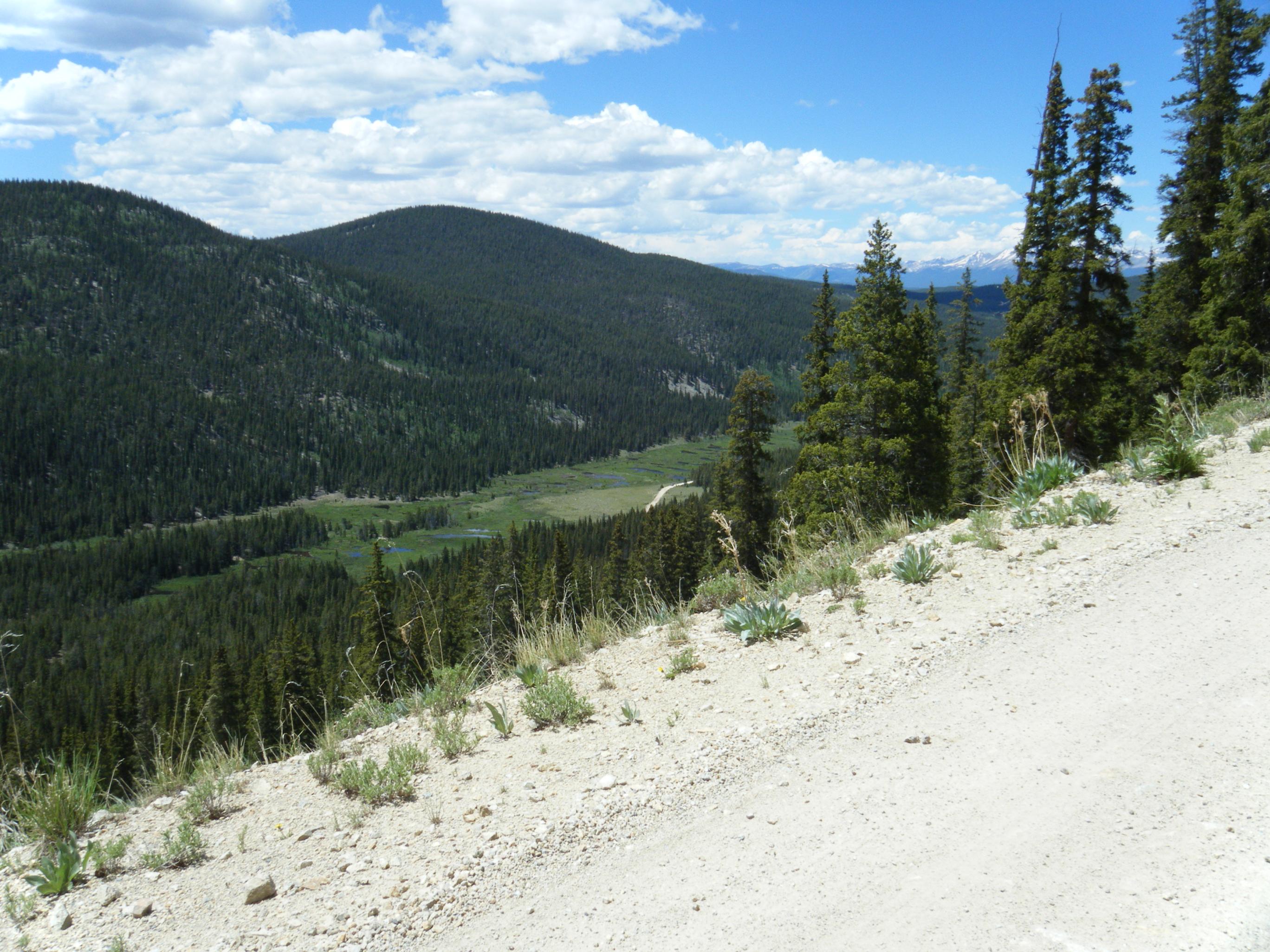
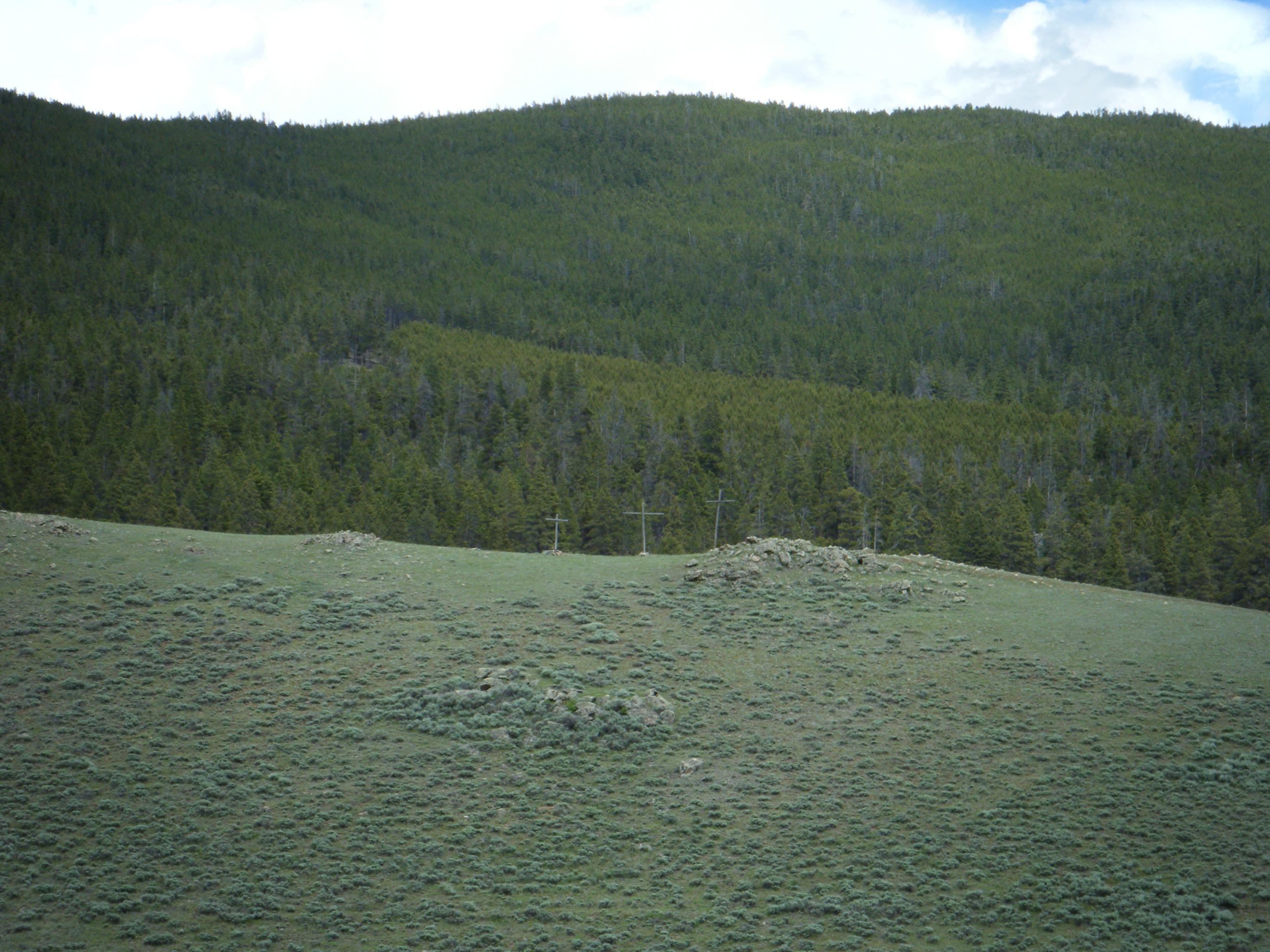
Views from Cumberland Pass (3 of 3)
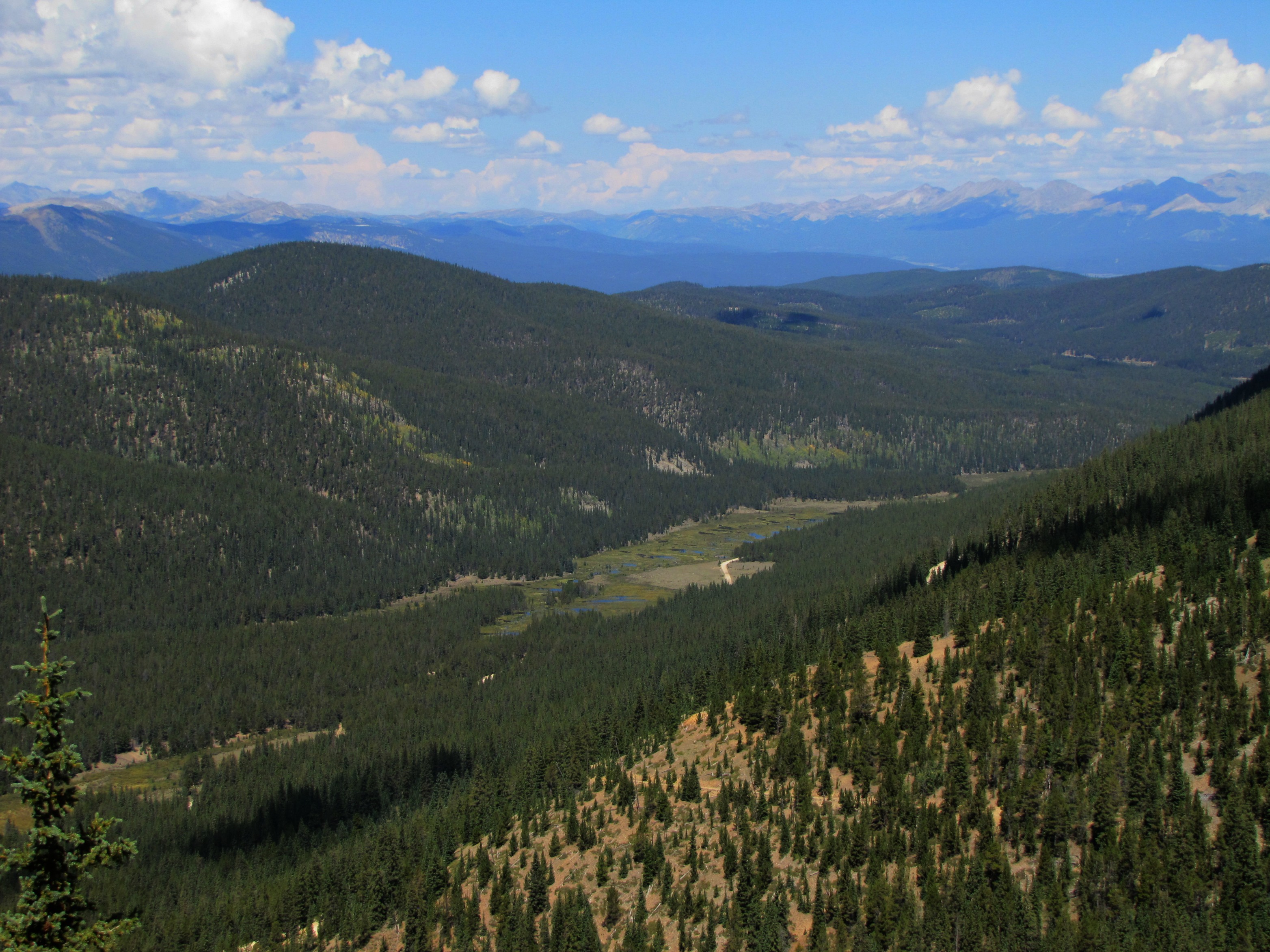
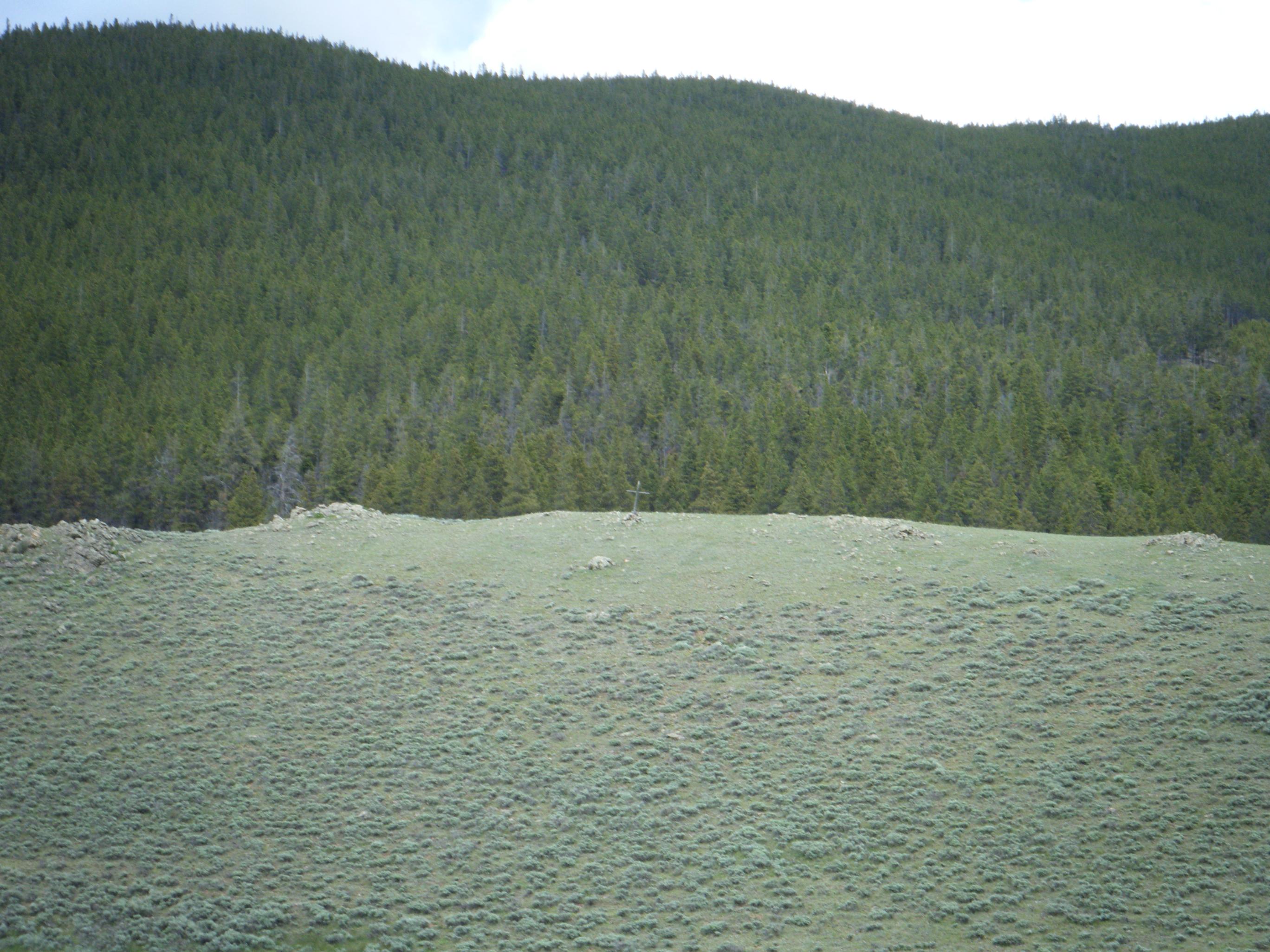
Views from Cumberland Pass (1 of 3)
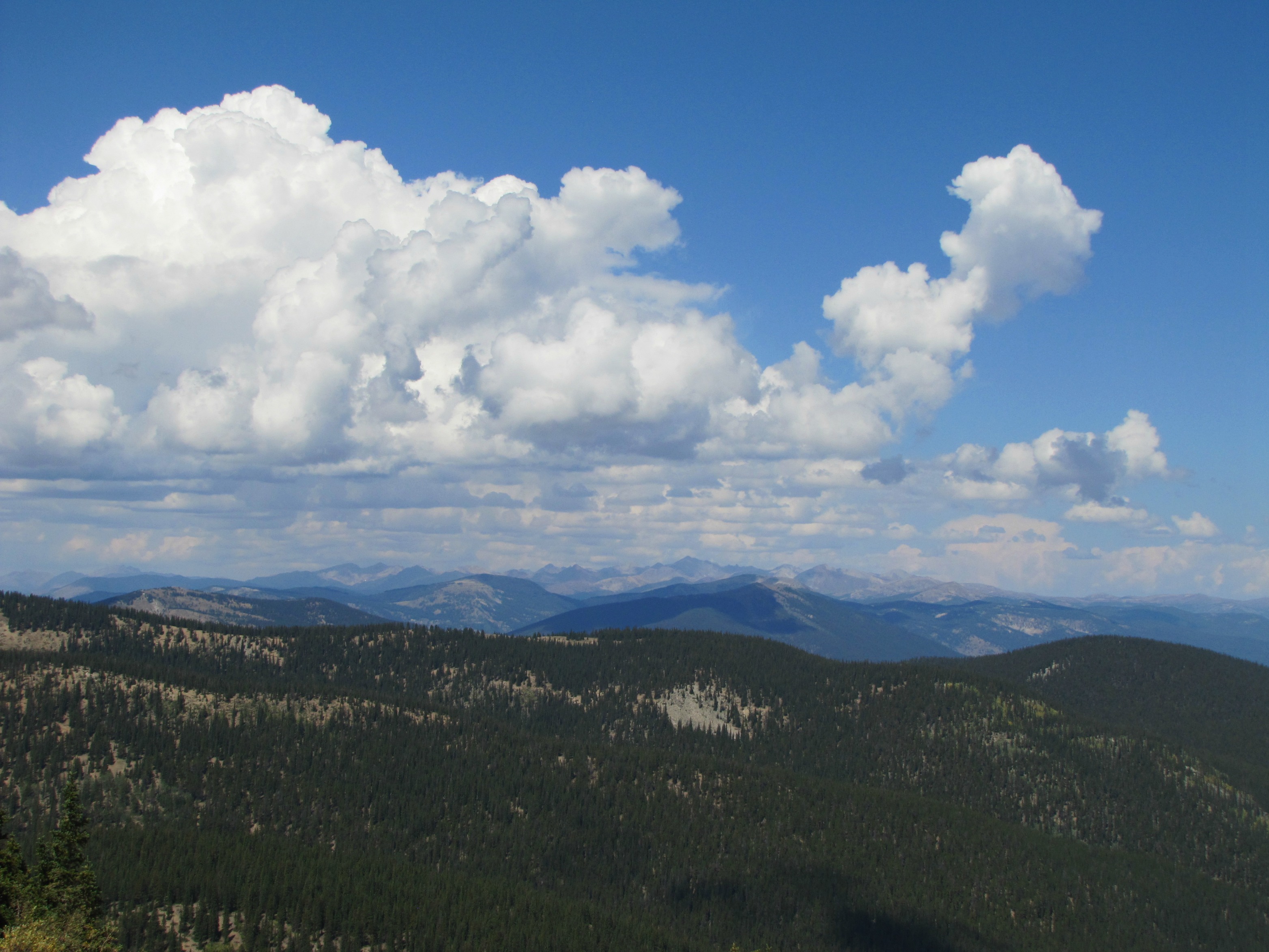
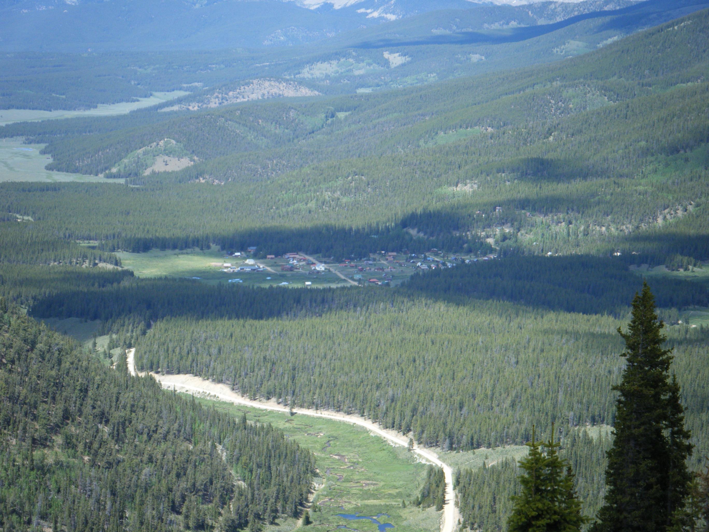
Views from Cumberland Pass (2 of 3)
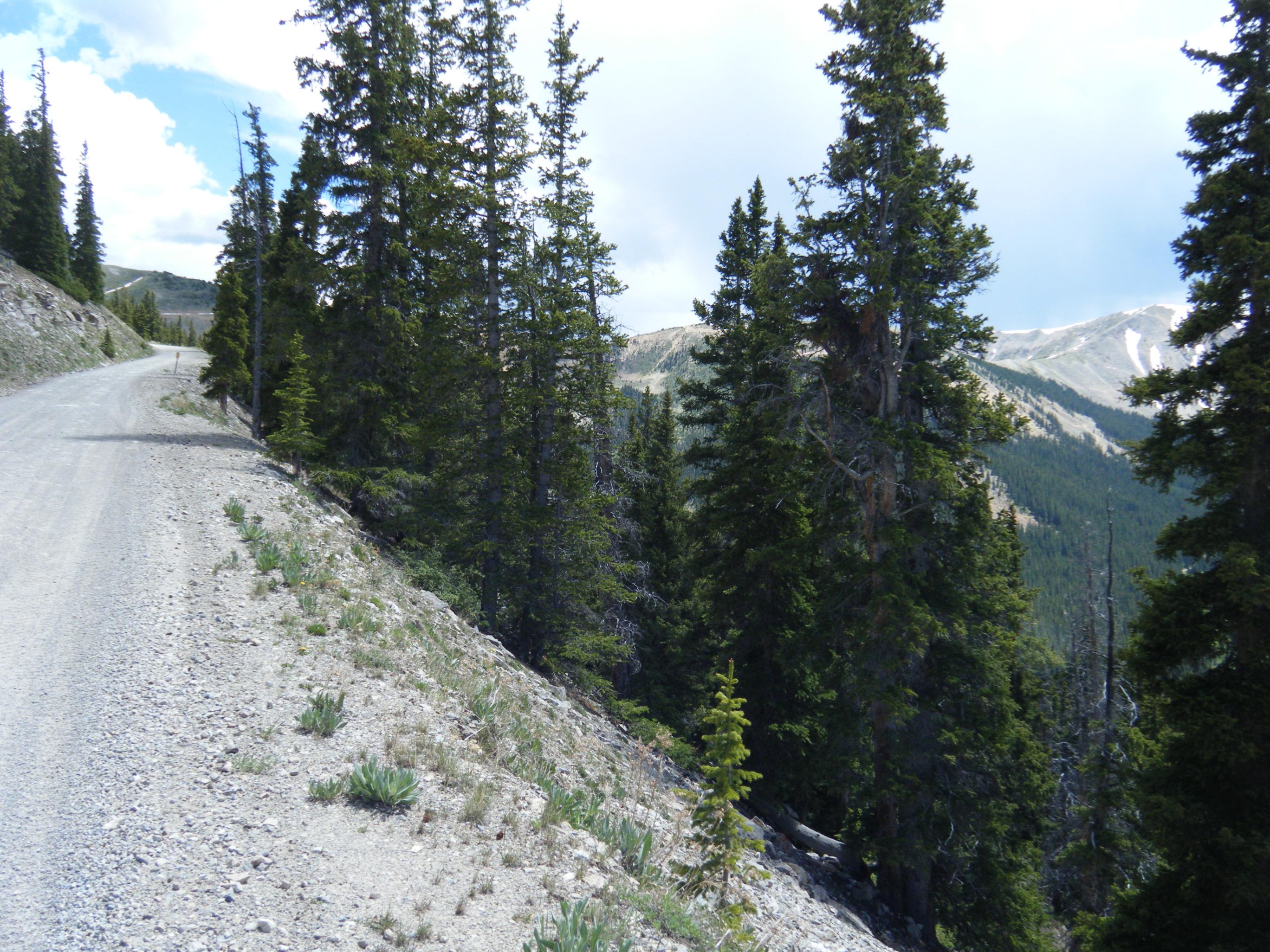
DSCF0406.JPG

DSCF0416.JPG
DSCF0420.JPG
DSCF0421.JPG
DSCF0417.JPG
DSCF0409.JPG
Topographic Map of Henry Mountain, Colorado, USA
Find elevation by address:

Places near Henry Mountain, Colorado, USA:
Broncho Mountain
Fossil Ridge
Fairview Peak
Lottis Creek Campground
770 Highline Dr
245 Lime Bluff Dr
Quartz Dome
Co Rd, Almont, CO, USA
567 Grasshopper Rd
Park Cone
435 Soul's Ease Rd
116 S Broadway
Cemetary Road
Ohio City
Pitkin
Main St, Almont, CO, USA
6274 Co Rd 76
Lakeview Gunnison Campground
One Mile Campground
Matchless Mountain
Recent Searches:
- Elevation of Corso Fratelli Cairoli, 35, Macerata MC, Italy
- Elevation of Tallevast Rd, Sarasota, FL, USA
- Elevation of 4th St E, Sonoma, CA, USA
- Elevation of Black Hollow Rd, Pennsdale, PA, USA
- Elevation of Oakland Ave, Williamsport, PA, USA
- Elevation of Pedrógão Grande, Portugal
- Elevation of Klee Dr, Martinsburg, WV, USA
- Elevation of Via Roma, Pieranica CR, Italy
- Elevation of Tavkvetili Mountain, Georgia
- Elevation of Hartfords Bluff Cir, Mt Pleasant, SC, USA