Elevation map of Tangail District, Bangladesh
Location: Bangladesh > Dhaka Division >
Longitude: 89.9948257
Latitude: 24.3917427
Elevation: 14m / 46feet
Barometric Pressure: 101KPa
Elevation Map:
Satellite Map:
Related Photos:

It's called kaun

Concerned farmer

Water Drop
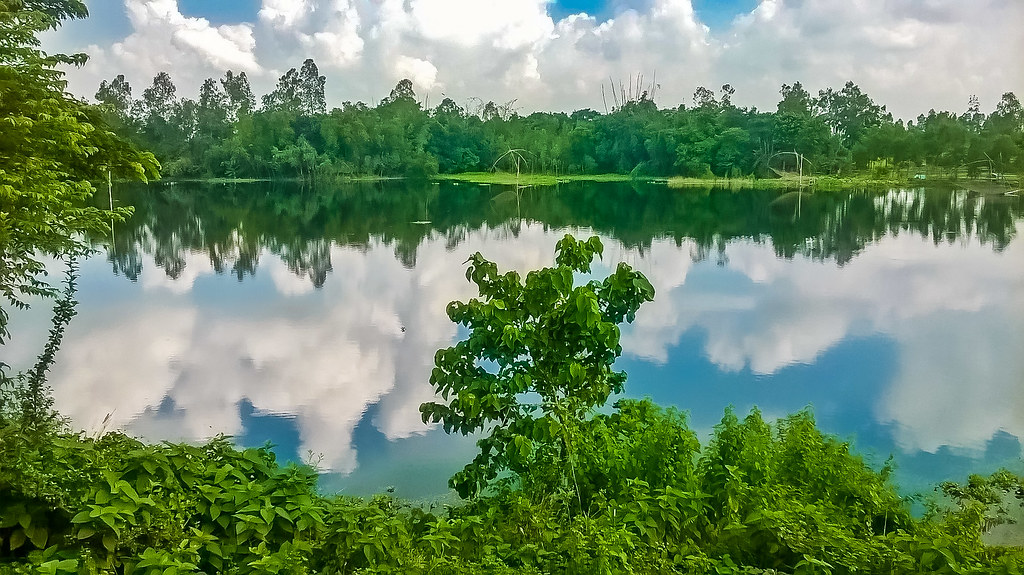
Reflection of Autumn-Sky

2016-07-27_09-32-13

2016-06-13_09-06-47

2016-05-21_10-43-27
2016-05-10_12-14-02
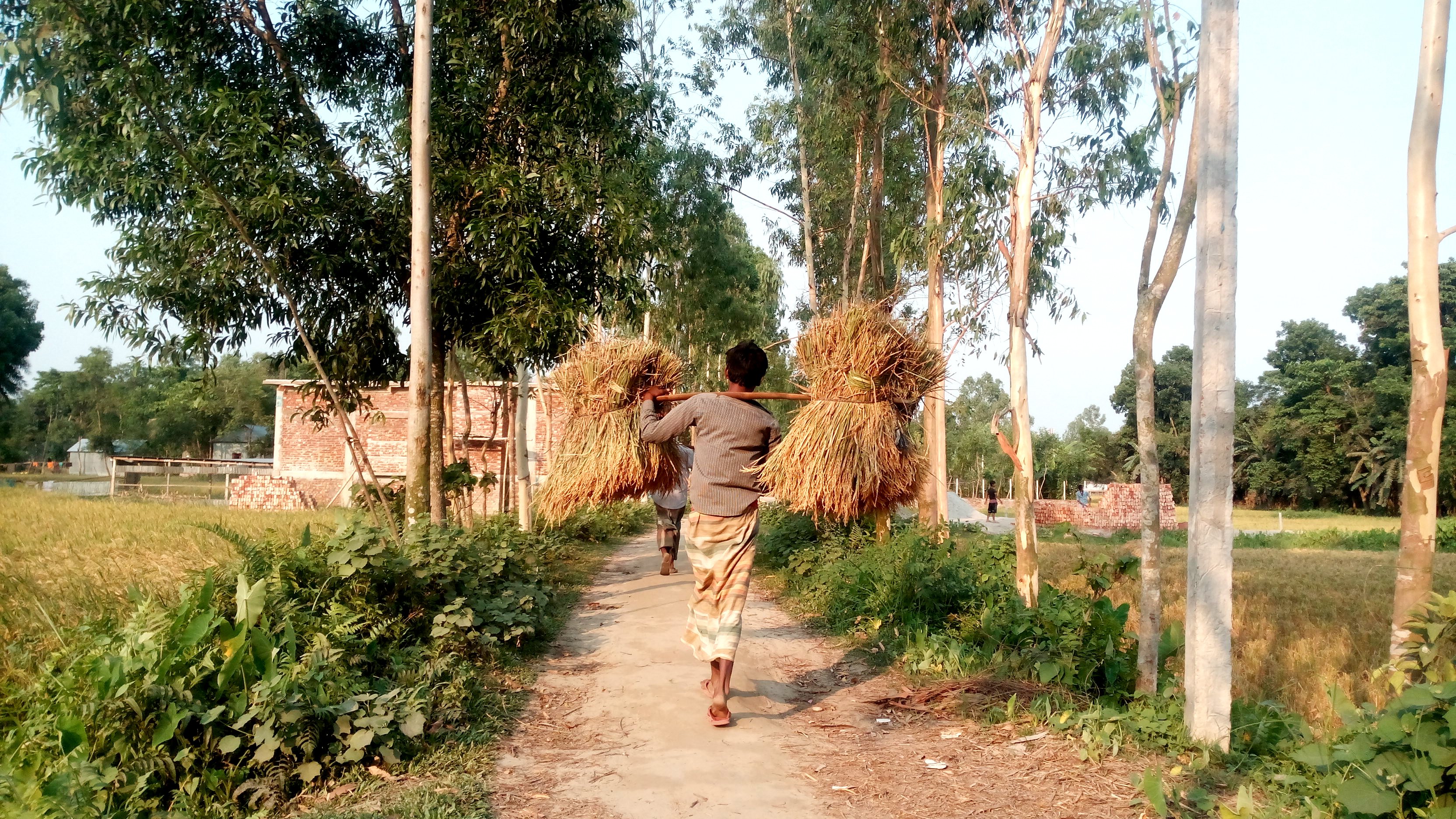
Carried rice

শিমুল ফুল

©Sunset
Natural Flower

Nothing to say

A spring day
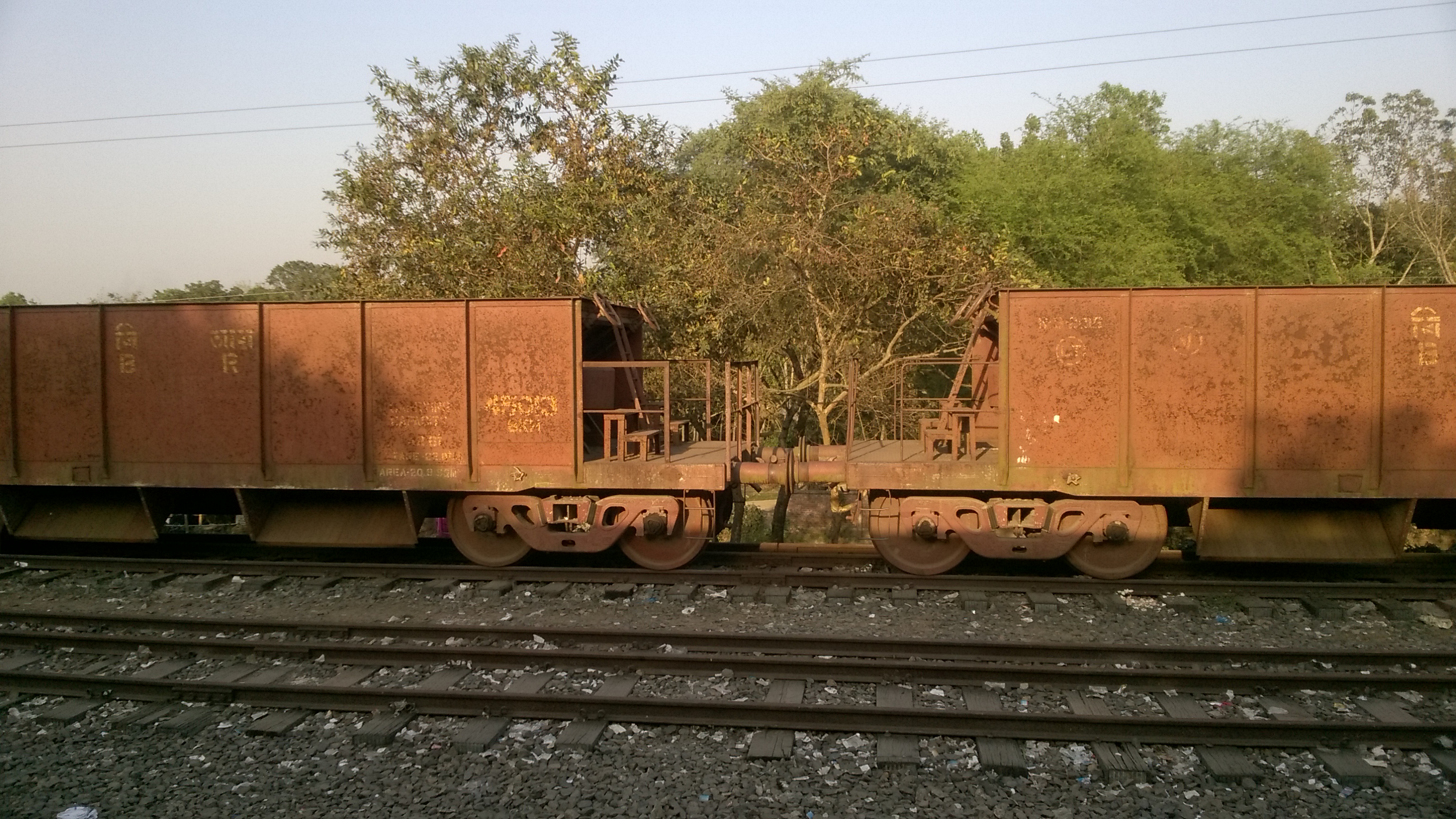
মালগাড়ি

Smoking Kills
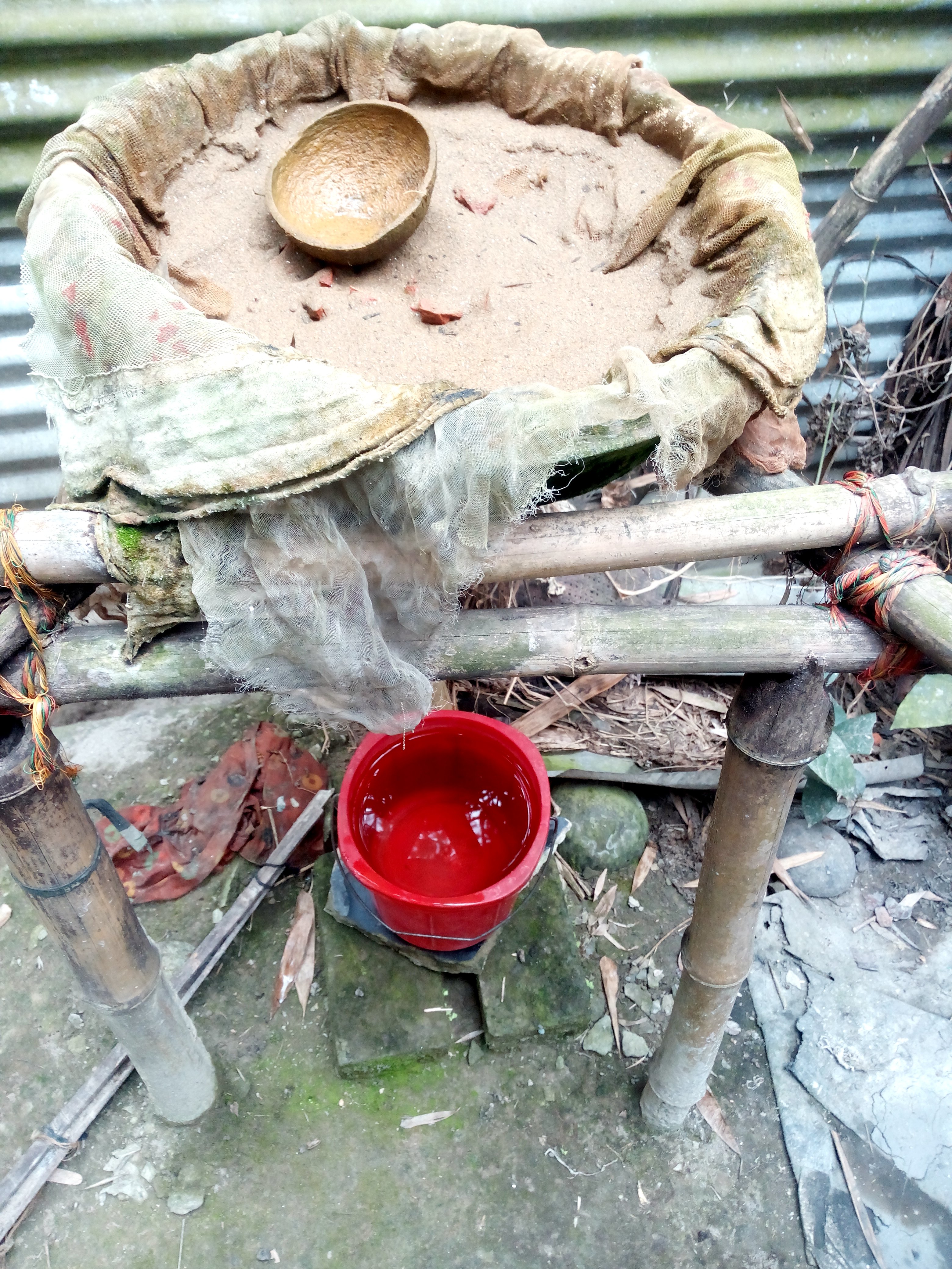
Natural #Water Filter Machine

#Beard #Mouth #Newsprint

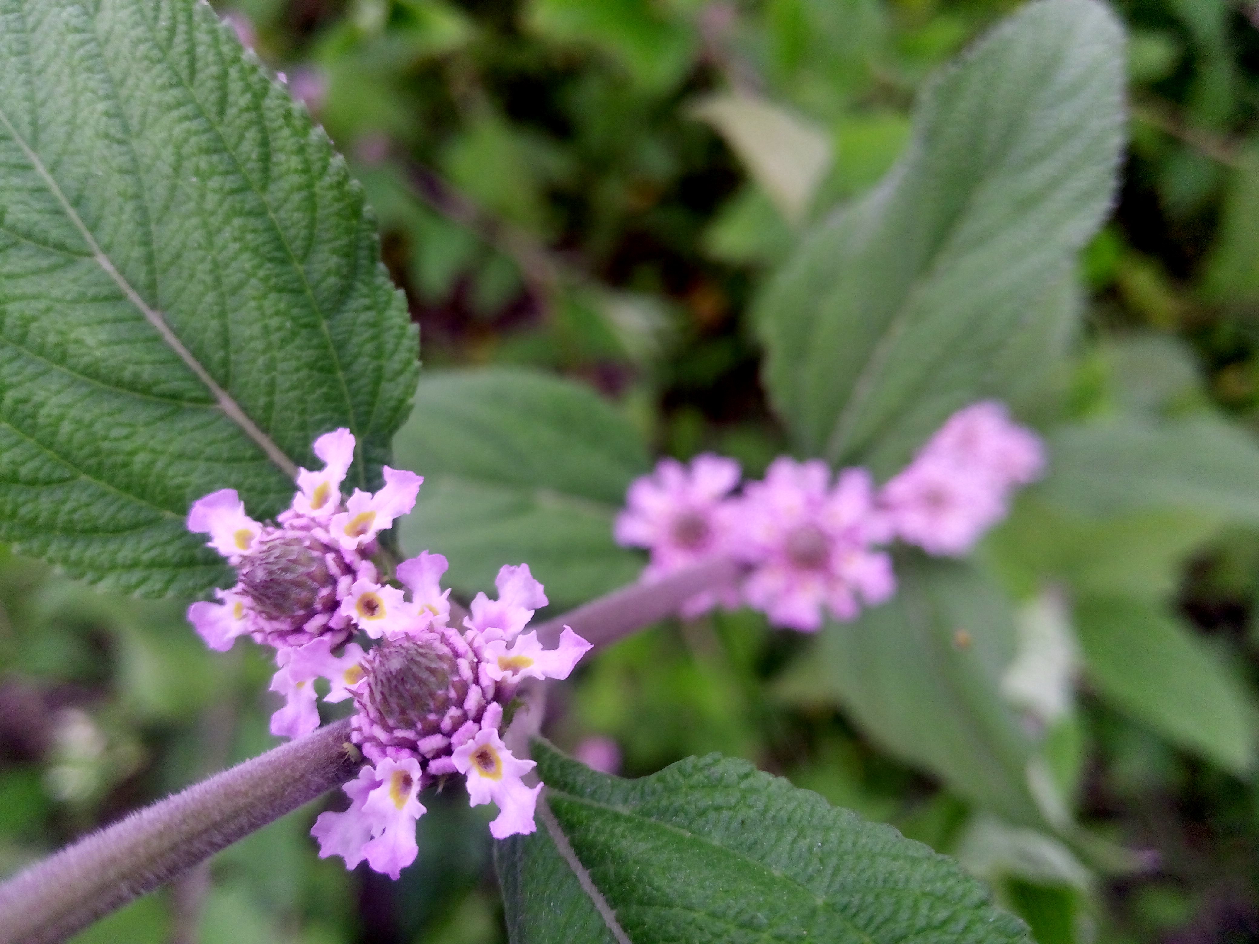
I don't know the name of this flower

©Red & Green

2016-01-29_02-50-37

2016-01-17_02-02-04
Topographic Map of Tangail District, Bangladesh
Find elevation by address:

Places in Tangail District, Bangladesh:
Places near Tangail District, Bangladesh:
Kalihati Upazila
Bhuapur
Tangail
Gopalpur
Sirajganj Railway Station
Baazar Station
Sirajganj
Jhawoil Gram
Road
Kamarkhanda Upazila
Chauhali Upazila
Sirajganj District
Kazipur Upazila
Aristocrat
Hatikumrul
Pabna District
Jamalpur District
Bogra
Bogra District
Pabna
Recent Searches:
- Elevation of 72-31 Metropolitan Ave, Middle Village, NY, USA
- Elevation of 76 Metropolitan Ave, Brooklyn, NY, USA
- Elevation of Alisal Rd, Solvang, CA, USA
- Elevation of Vista Blvd, Sparks, NV, USA
- Elevation of 15th Ave SE, St. Petersburg, FL, USA
- Elevation of Beall Road, Beall Rd, Florida, USA
- Elevation of Leguwa, Nepal
- Elevation of County Rd, Enterprise, AL, USA
- Elevation of Kolchuginsky District, Vladimir Oblast, Russia
- Elevation of Shustino, Vladimir Oblast, Russia