Elevation of Pabna District, Bangladesh
Location: Bangladesh > Rajshahi Division >
Longitude: 89.4480718
Latitude: 24.158505
Elevation: 16m / 52feet
Barometric Pressure: 101KPa
Elevation Map:
Satellite Map:
Related Photos:
naim (6)

UNDP Helps Community Development Projects in Bangladesh

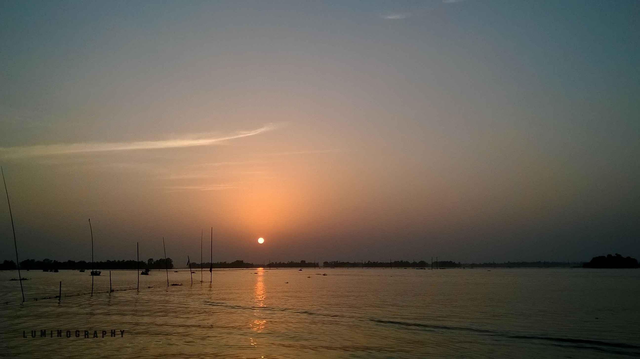
When fog and smoke is looking same (winter morning)

naim (3)

Woman dairy farmer

naim (4)

naim (5)

naim_new (22)

likhon_luminography (2)

likhon_luminography (23)

likhon_luminography (24)
Topographic Map of Pabna District, Bangladesh
Find elevation by address:

Places in Pabna District, Bangladesh:
Places near Pabna District, Bangladesh:
Sirajganj District
Pabna
Aristocrat
Hatikumrul
Kamarkhanda Upazila
Chauhali Upazila
Jhawoil Gram
Road
Ishwardi Upazila
Sirajganj
Ishwardi
Sirajganj Railway Station
Baazar Station
Kushtia
Tangail
Bheramara Upazila
Mirpur Upazila
Natore District
Kalihati Upazila
Bhuapur
Recent Searches:
- Elevation of Leguwa, Nepal
- Elevation of County Rd, Enterprise, AL, USA
- Elevation of Kolchuginsky District, Vladimir Oblast, Russia
- Elevation of Shustino, Vladimir Oblast, Russia
- Elevation of Lampiasi St, Sarasota, FL, USA
- Elevation of Elwyn Dr, Roanoke Rapids, NC, USA
- Elevation of Congressional Dr, Stevensville, MD, USA
- Elevation of Bellview Rd, McLean, VA, USA
- Elevation of Stage Island Rd, Chatham, MA, USA
- Elevation of Shibuya Scramble Crossing, 21 Udagawacho, Shibuya City, Tokyo -, Japan