Elevation of Jhawoil Gram, Bangladesh
Location: Bangladesh > Rajshahi Division > Sirajganj District > Kamarkhanda Upazila >
Longitude: 89.6745683
Latitude: 24.3961888
Elevation: 15m / 49feet
Barometric Pressure: 101KPa
Elevation Map:
Satellite Map:
Related Photos:
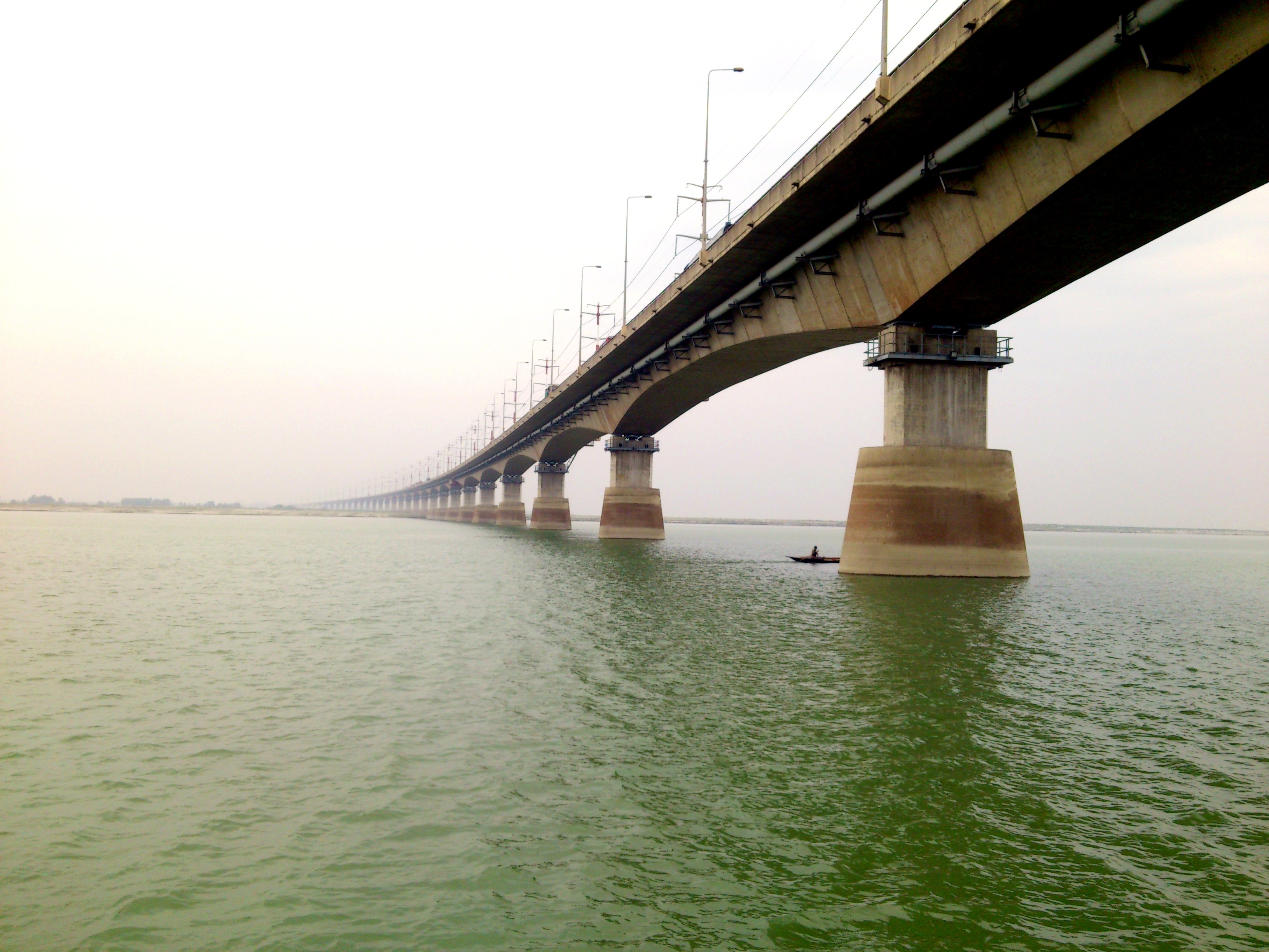
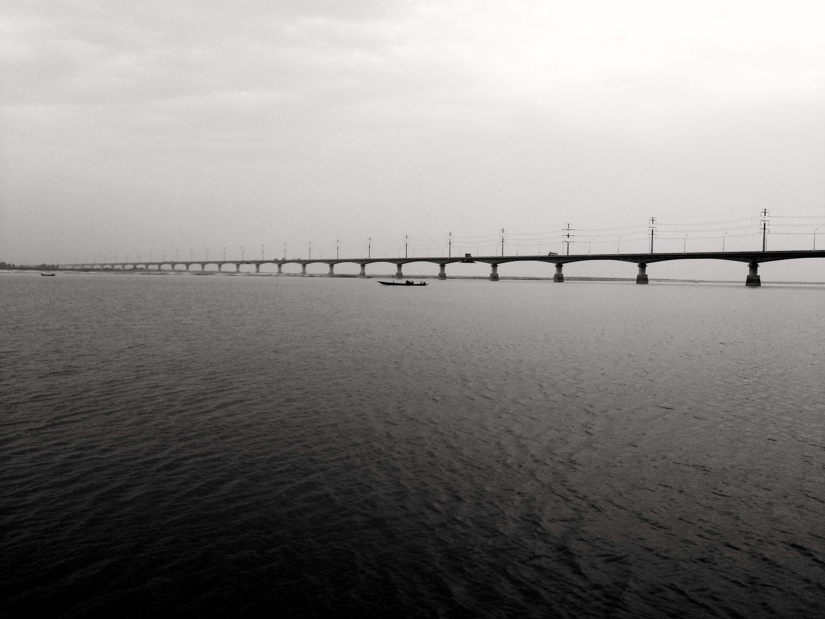
The Bridge of Jamuna (angle-view)
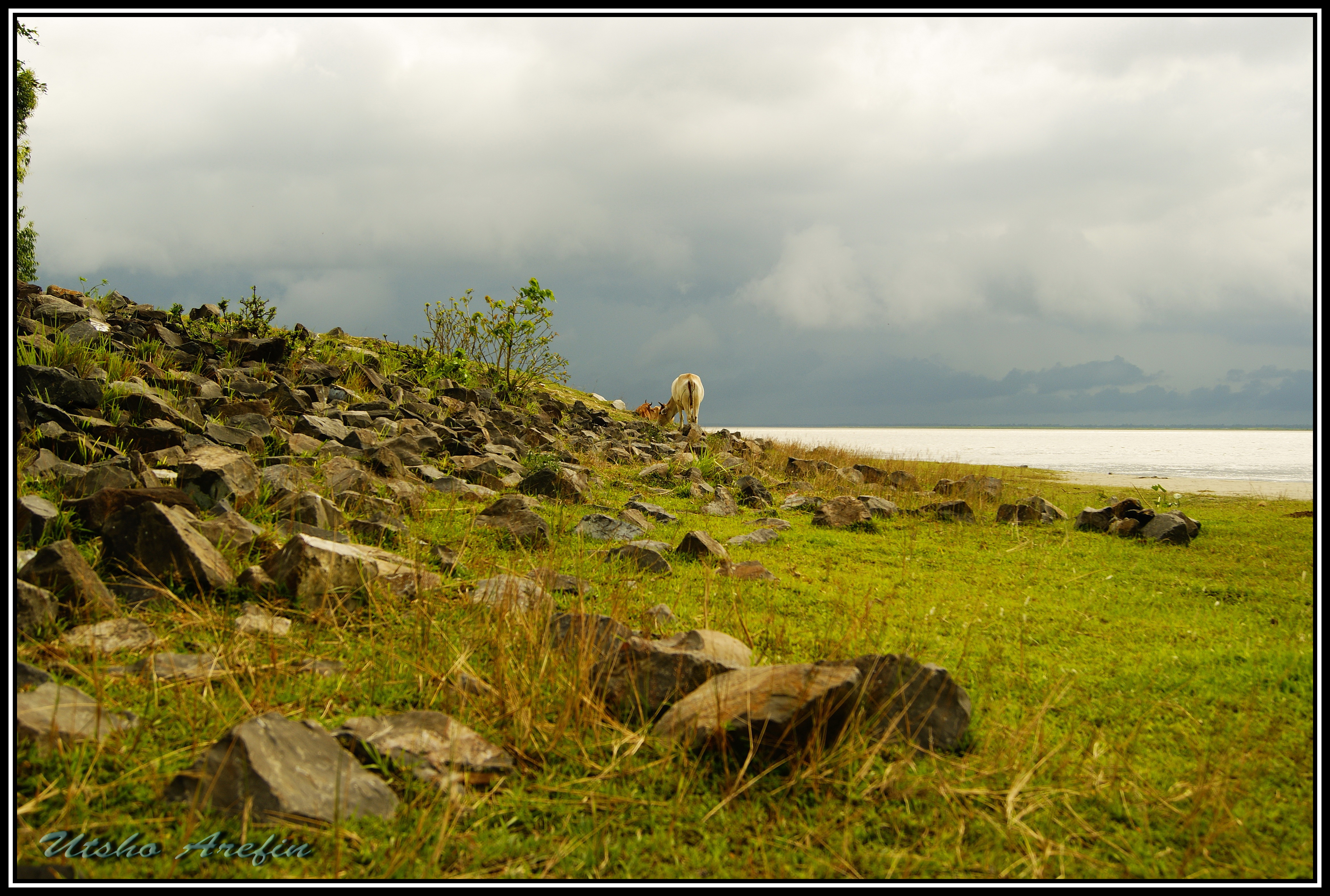
Village View

Village View
Village View

যমুনায় সূর্যাস্ত
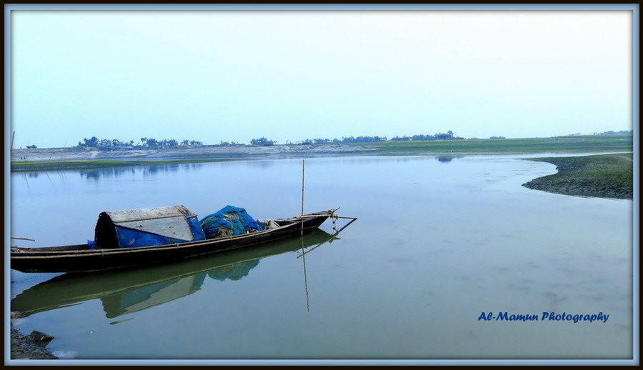
Fishing Boat
The River of Jamuna (যমুনা নদী)
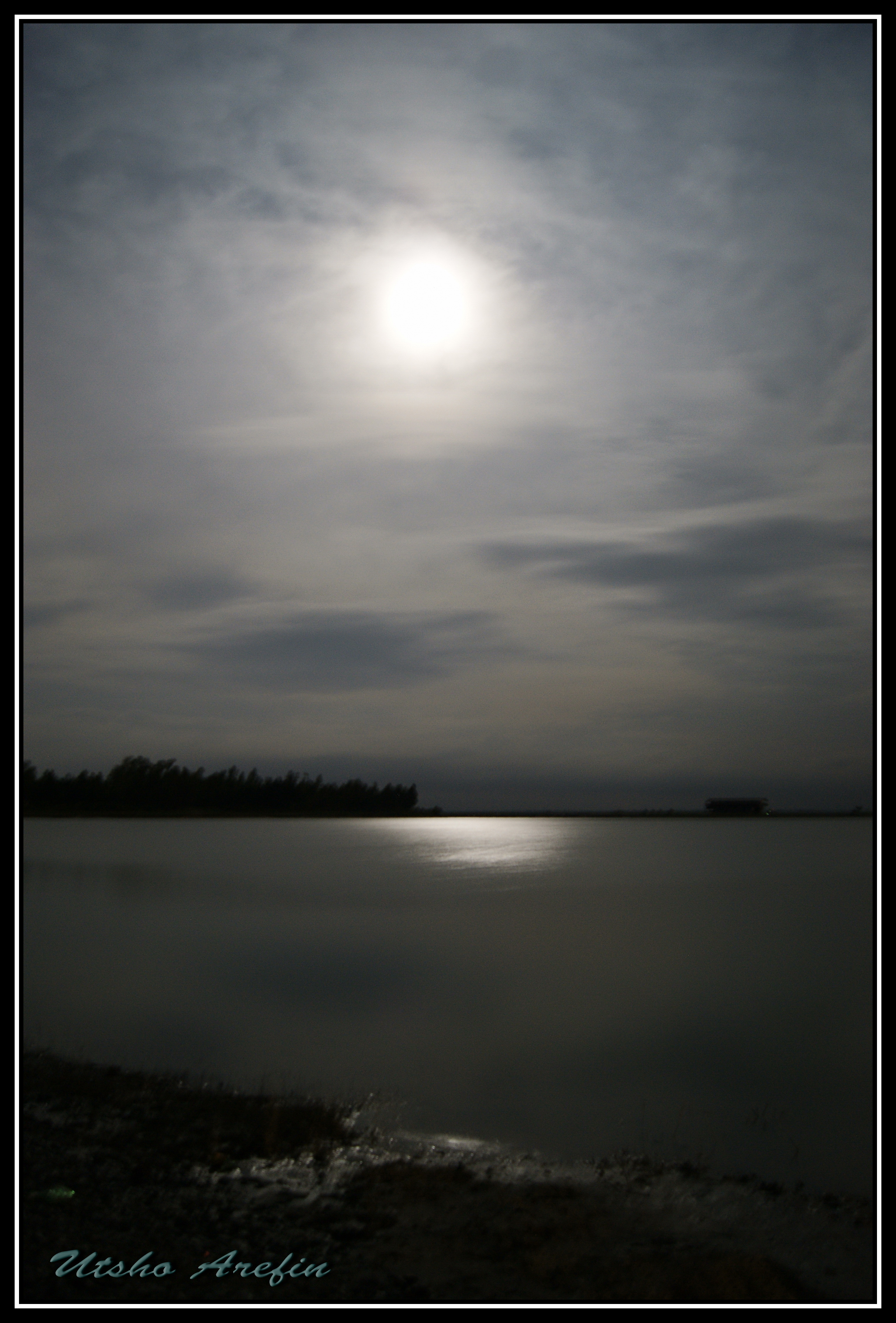
চন্দ্রাহত
যমুনা

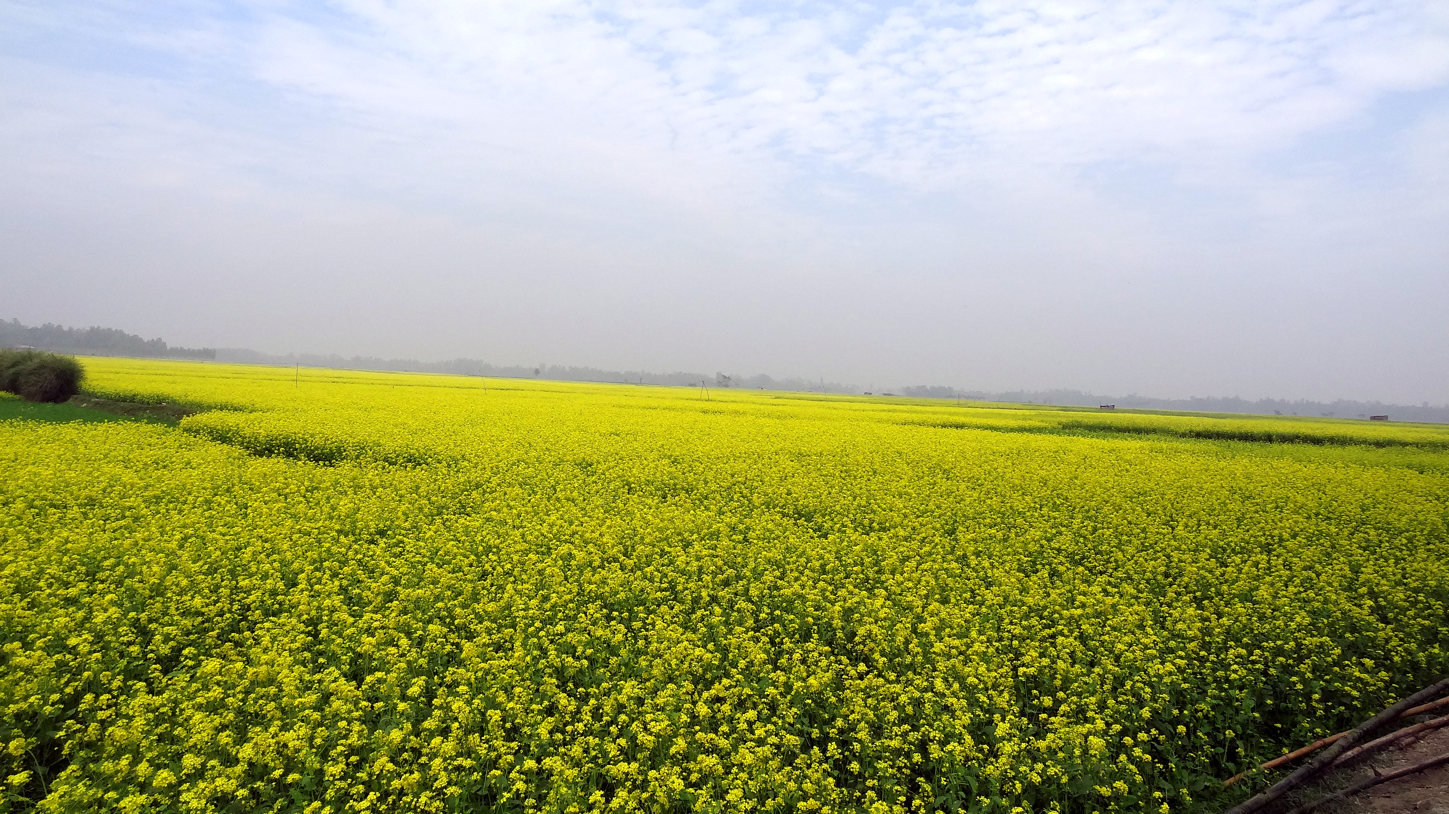
Rice Paddies

2014-07-25_10-55-18
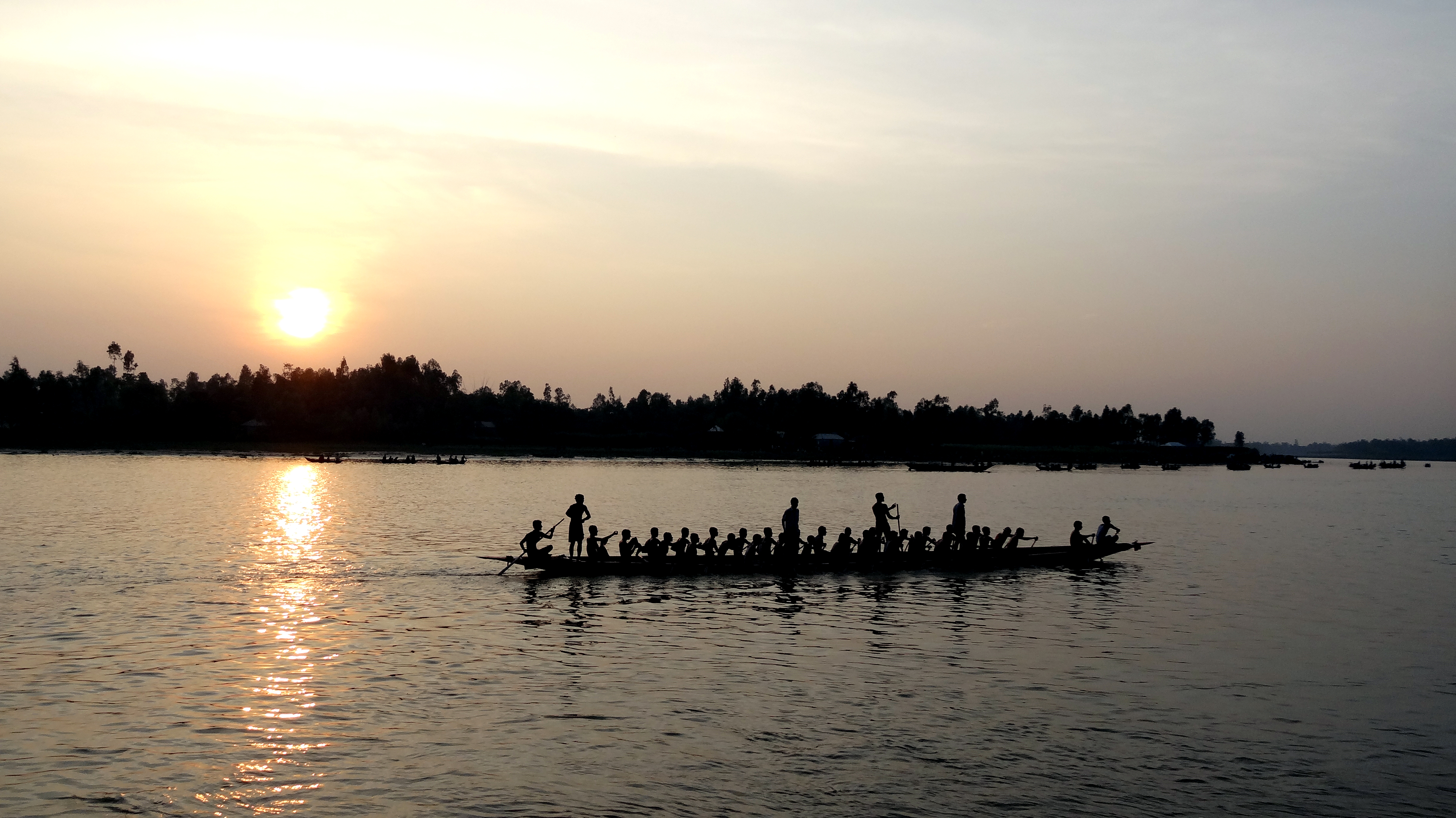
Boat Racing Moment
Topographic Map of Jhawoil Gram, Bangladesh
Find elevation by address:

Places in Jhawoil Gram, Bangladesh:
Places near Jhawoil Gram, Bangladesh:
Road
Kamarkhanda Upazila
Sirajganj
Sirajganj Railway Station
Baazar Station
Aristocrat
Hatikumrul
Sirajganj District
Bhuapur
Kalihati Upazila
Tangail
Kazipur Upazila
Gopalpur
Tangail District
Pabna District
Chauhali Upazila
Bogra
Bogra District
Pabna
Ishwardi Upazila
Recent Searches:
- Elevation of Austin Stone Dr, Haslet, TX, USA
- Elevation of Bydgoszcz, Poland
- Elevation of Bydgoszcz, Poland
- Elevation of Calais Dr, Del Mar, CA, USA
- Elevation of Placer Mine Ln, West Jordan, UT, USA
- Elevation of E 63rd St, New York, NY, USA
- Elevation of Elk City, OK, USA
- Elevation of Erika Dr, Windsor, CA, USA
- Elevation of Village Ln, Finleyville, PA, USA
- Elevation of 24 Oakland Rd #, Scotland, ON N0E 1R0, Canada