Elevation of Hatikumrul, Bangladesh
Location: Bangladesh > Rajshahi Division > Sirajganj District >
Longitude: 89.5479942
Latitude: 24.4292861
Elevation: 17m / 56feet
Barometric Pressure: 101KPa
Elevation Map:
Satellite Map:
Related Photos:

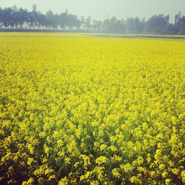
Village View
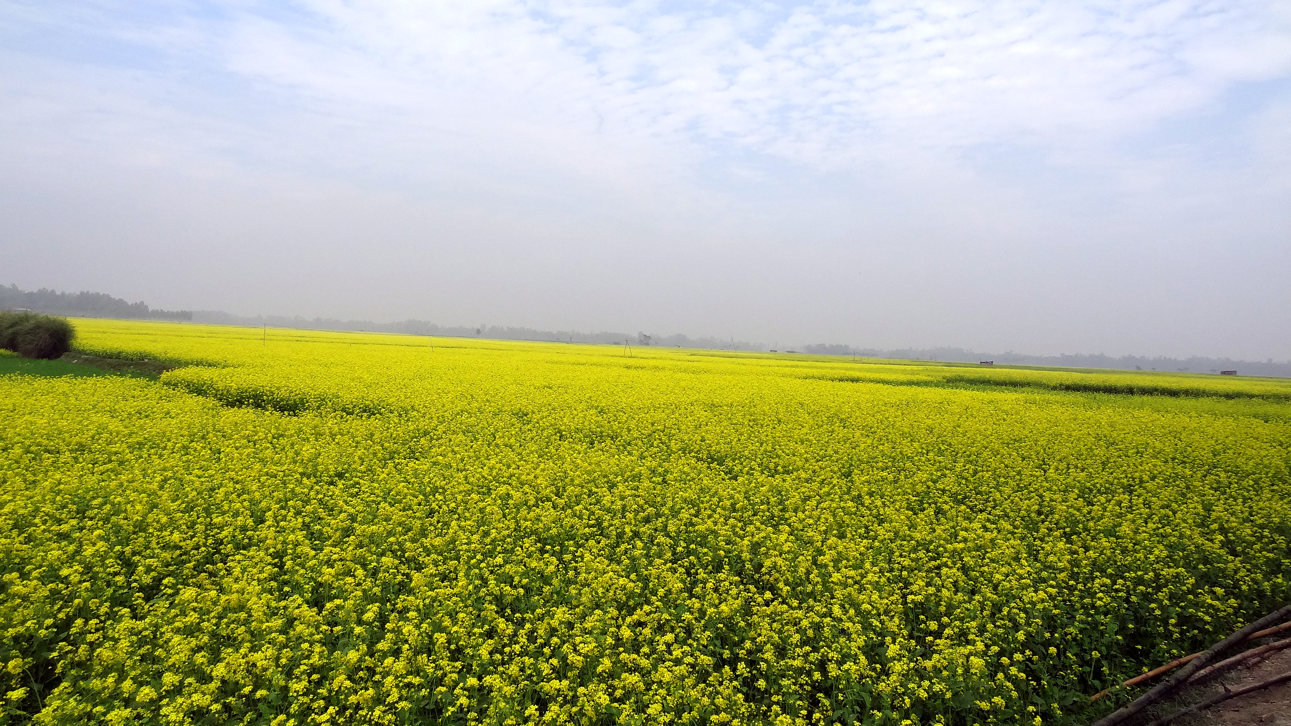
Village View
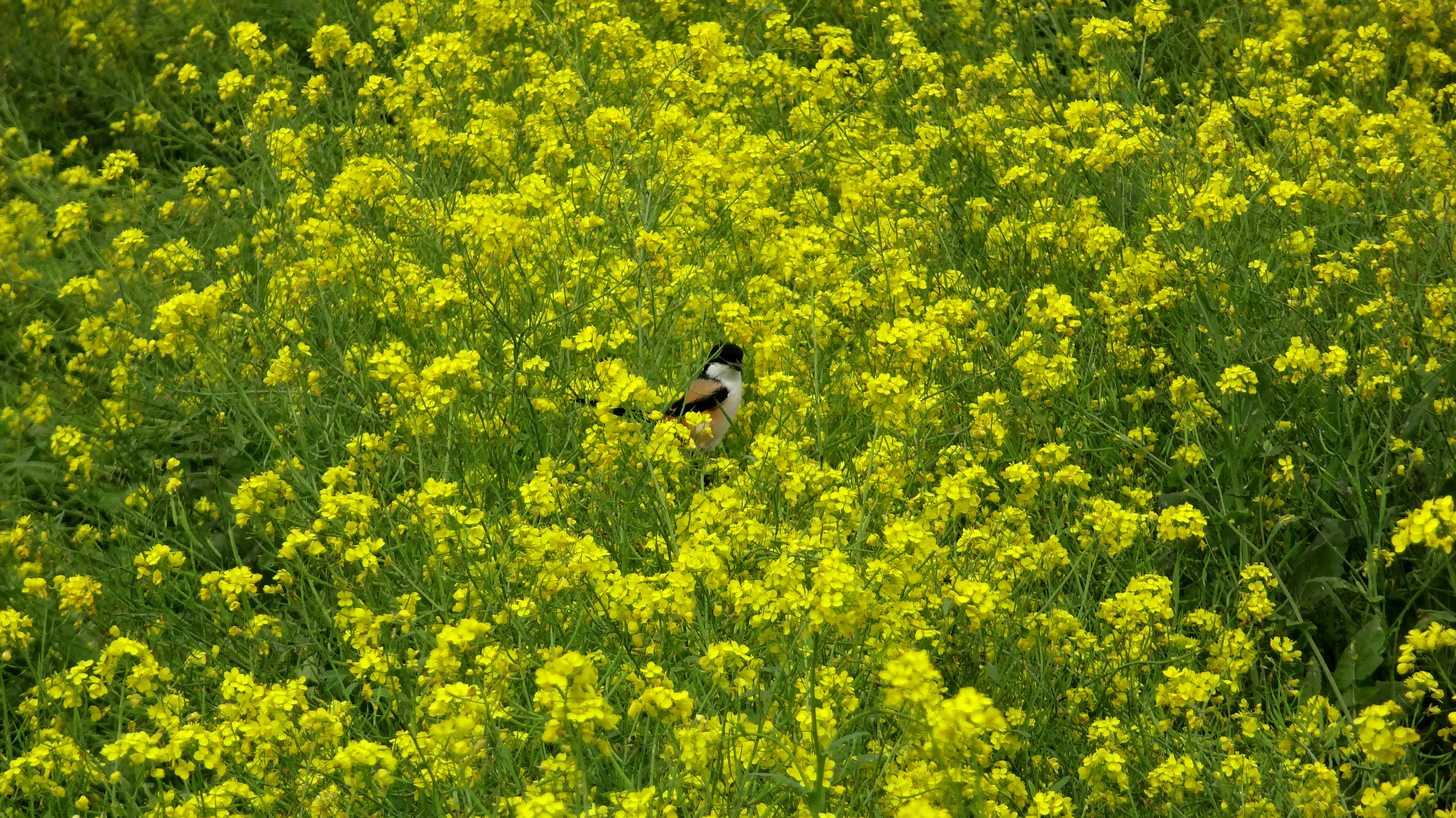
Village View
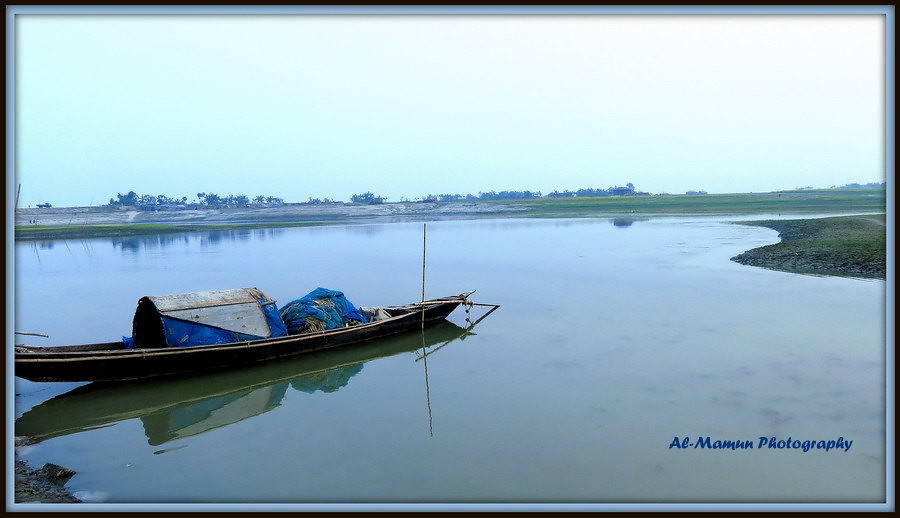
Fishing Boat

Rice Paddies

Boat Racing Moment

2014-07-25_10-55-18
Winter season 2012 in a Bangladeshi village
Topographic Map of Hatikumrul, Bangladesh
Find elevation by address:

Places near Hatikumrul, Bangladesh:
Aristocrat
Kamarkhanda Upazila
Sirajganj District
Road
Jhawoil Gram
Sirajganj
Baazar Station
Sirajganj Railway Station
Pabna District
Kazipur Upazila
Bhuapur
Kalihati Upazila
Gopalpur
Tangail
Chauhali Upazila
Tangail District
Bogra
Bogra District
Pabna
Natore District
Recent Searches:
- Elevation of Leguwa, Nepal
- Elevation of County Rd, Enterprise, AL, USA
- Elevation of Kolchuginsky District, Vladimir Oblast, Russia
- Elevation of Shustino, Vladimir Oblast, Russia
- Elevation of Lampiasi St, Sarasota, FL, USA
- Elevation of Elwyn Dr, Roanoke Rapids, NC, USA
- Elevation of Congressional Dr, Stevensville, MD, USA
- Elevation of Bellview Rd, McLean, VA, USA
- Elevation of Stage Island Rd, Chatham, MA, USA
- Elevation of Shibuya Scramble Crossing, 21 Udagawacho, Shibuya City, Tokyo -, Japan