Elevation of Tachigouchi, Yoshika-chō, Kanoashi-gun, Shimane-ken -, Japan
Location: Japan > Shimane Prefecture > Kanoashi District > Yoshika >
Longitude: 131.954556
Latitude: 34.345875
Elevation: 340m / 1115feet
Barometric Pressure: 97KPa
Elevation Map:
Satellite Map:
Related Photos:
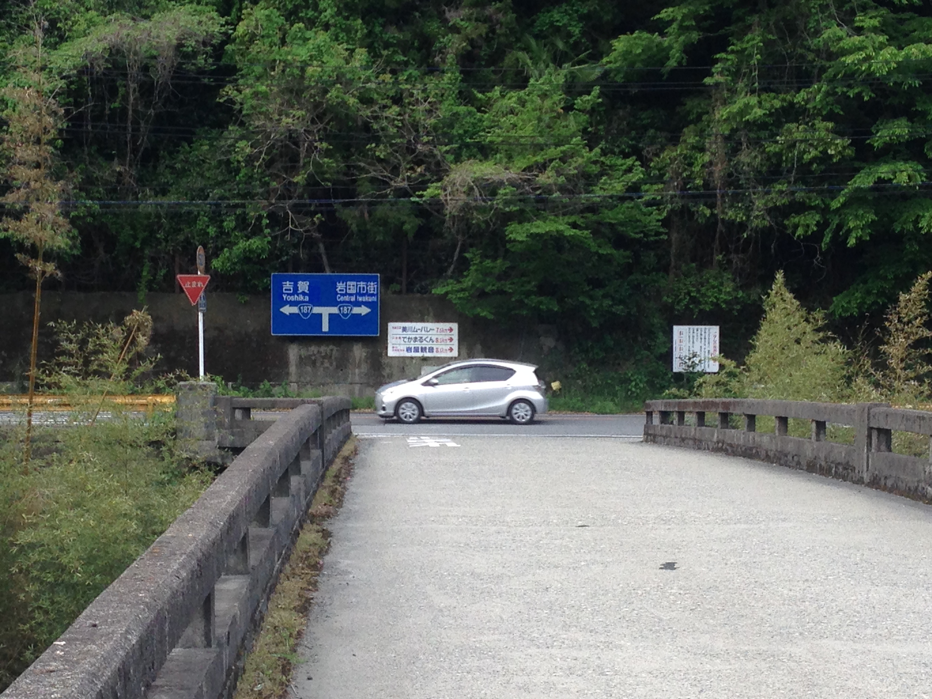
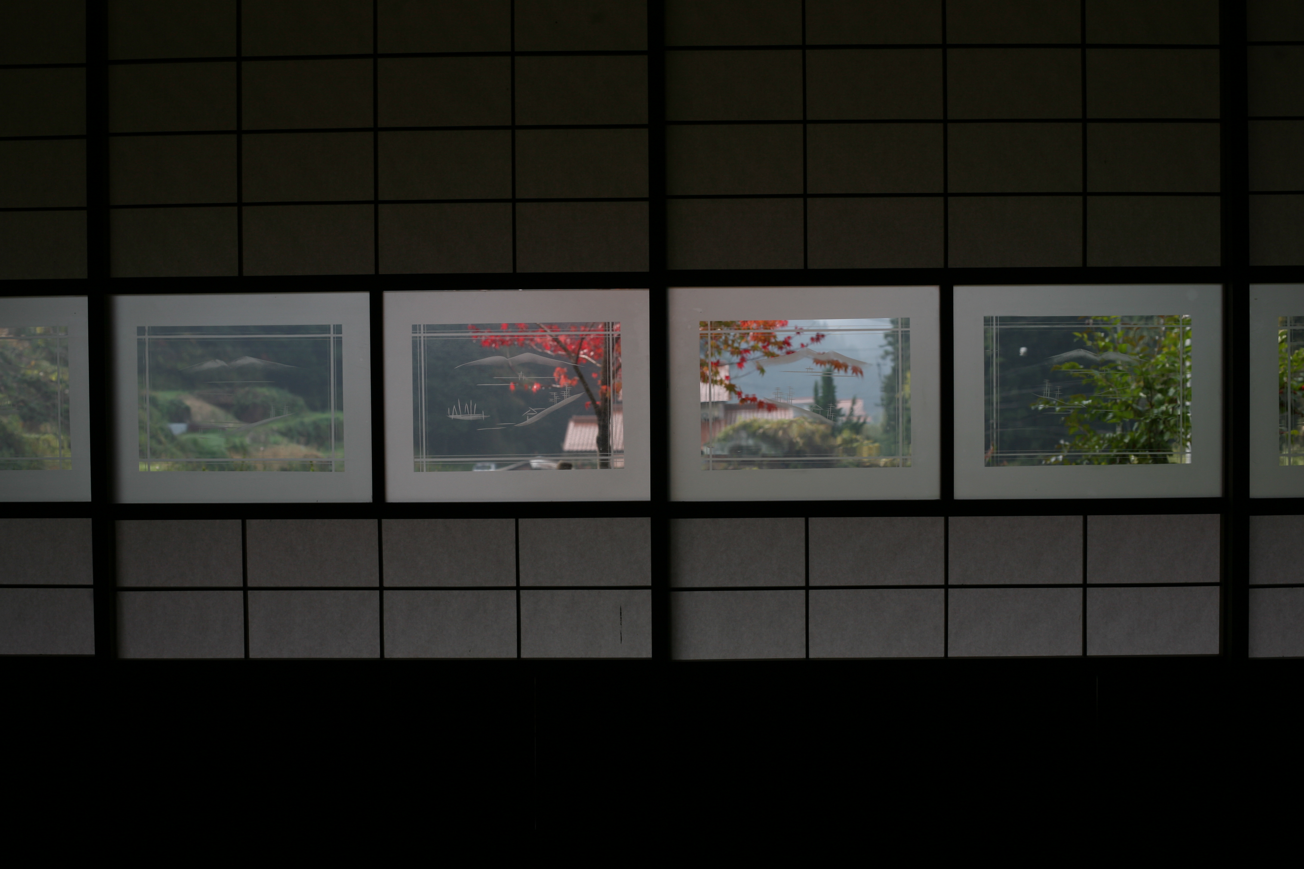
ご近所
重源の里

Keiko Miyake
IMG_7131.JPG
IMG_7130.JPG
IMG_7129.JPG
IMG_7119.JPG
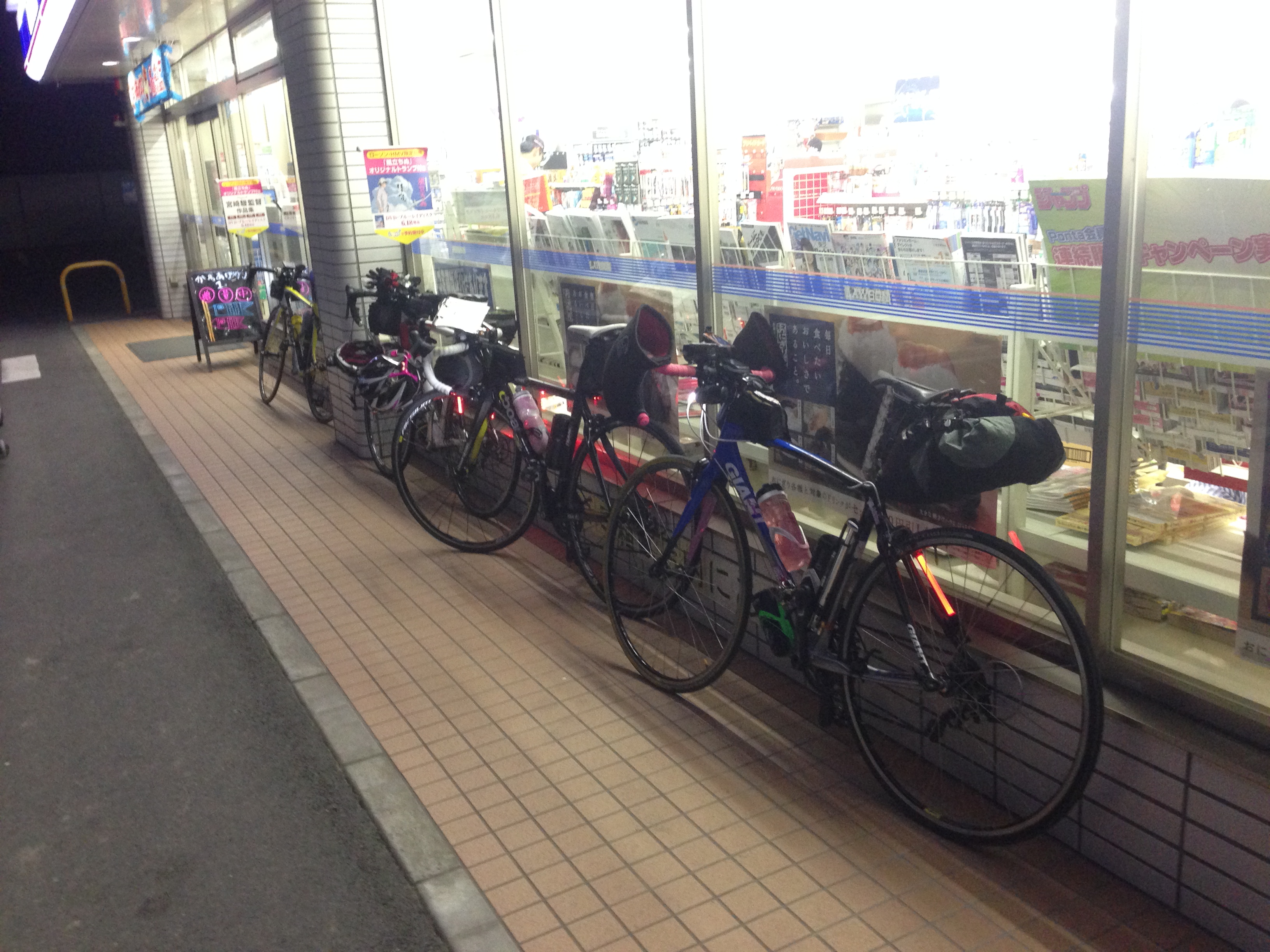
ご近所
ご近所
ご近所
Yamaguchi 2011
ご近所
ご近所
ご近所
ご近所
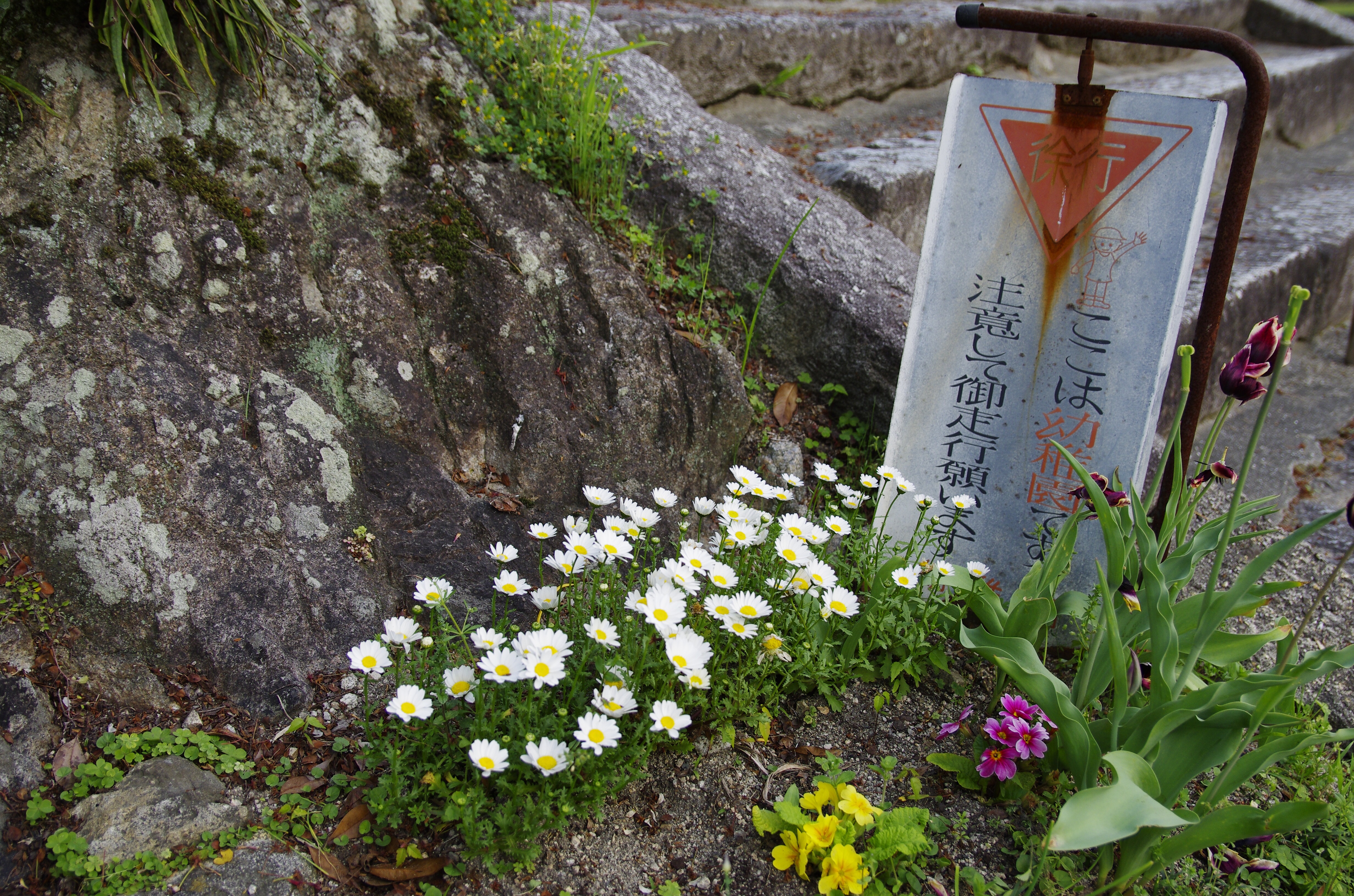
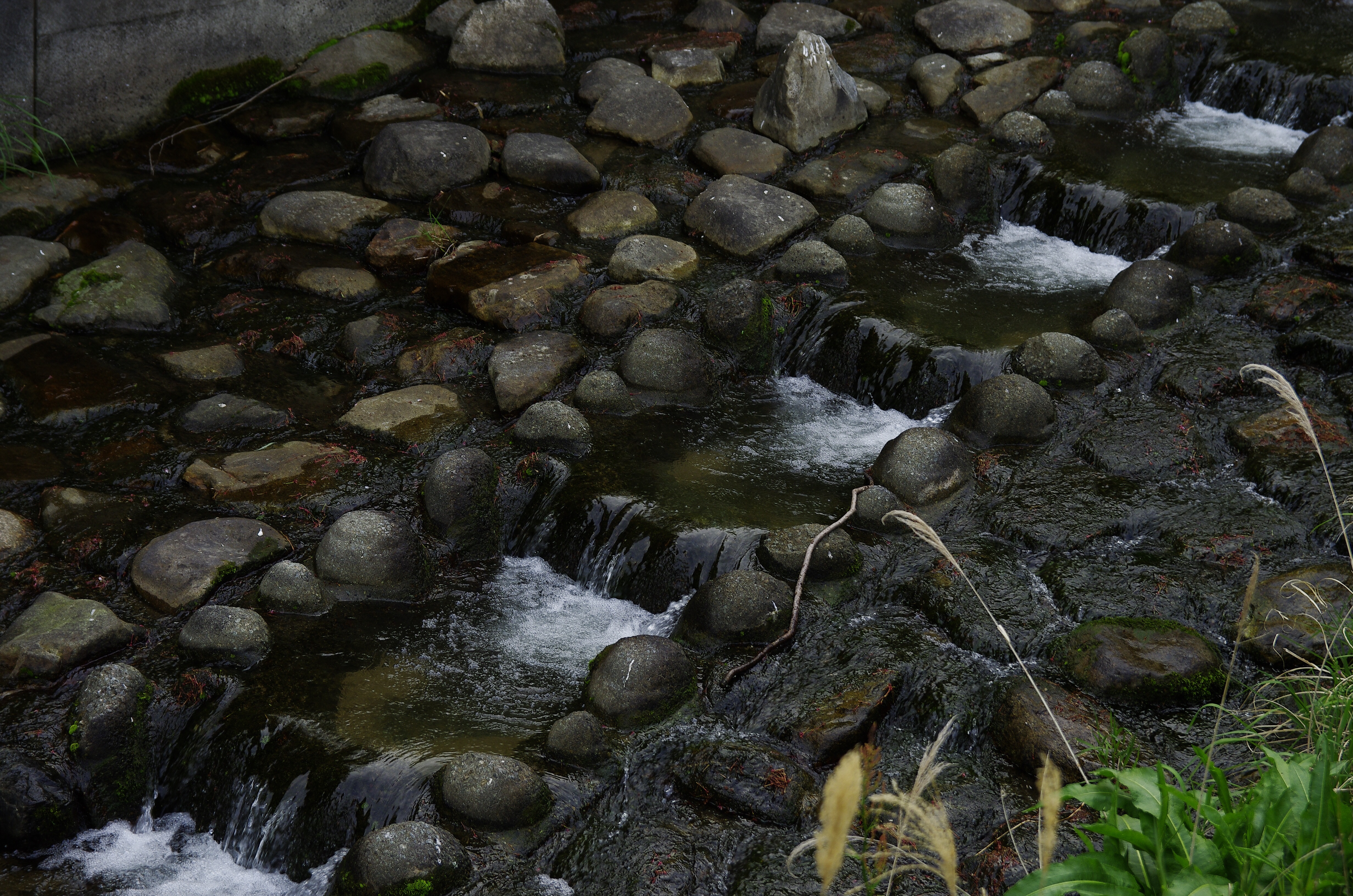
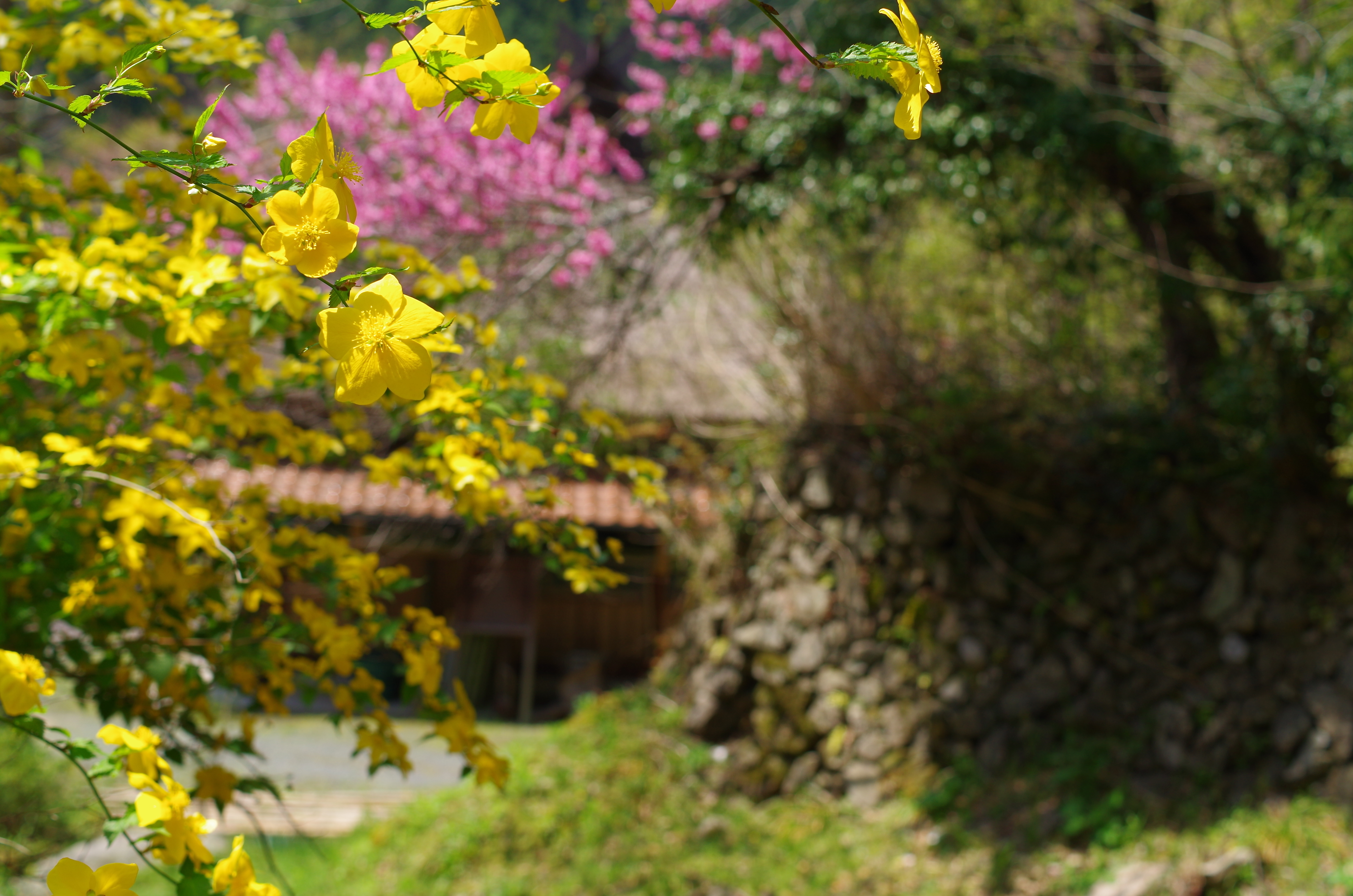
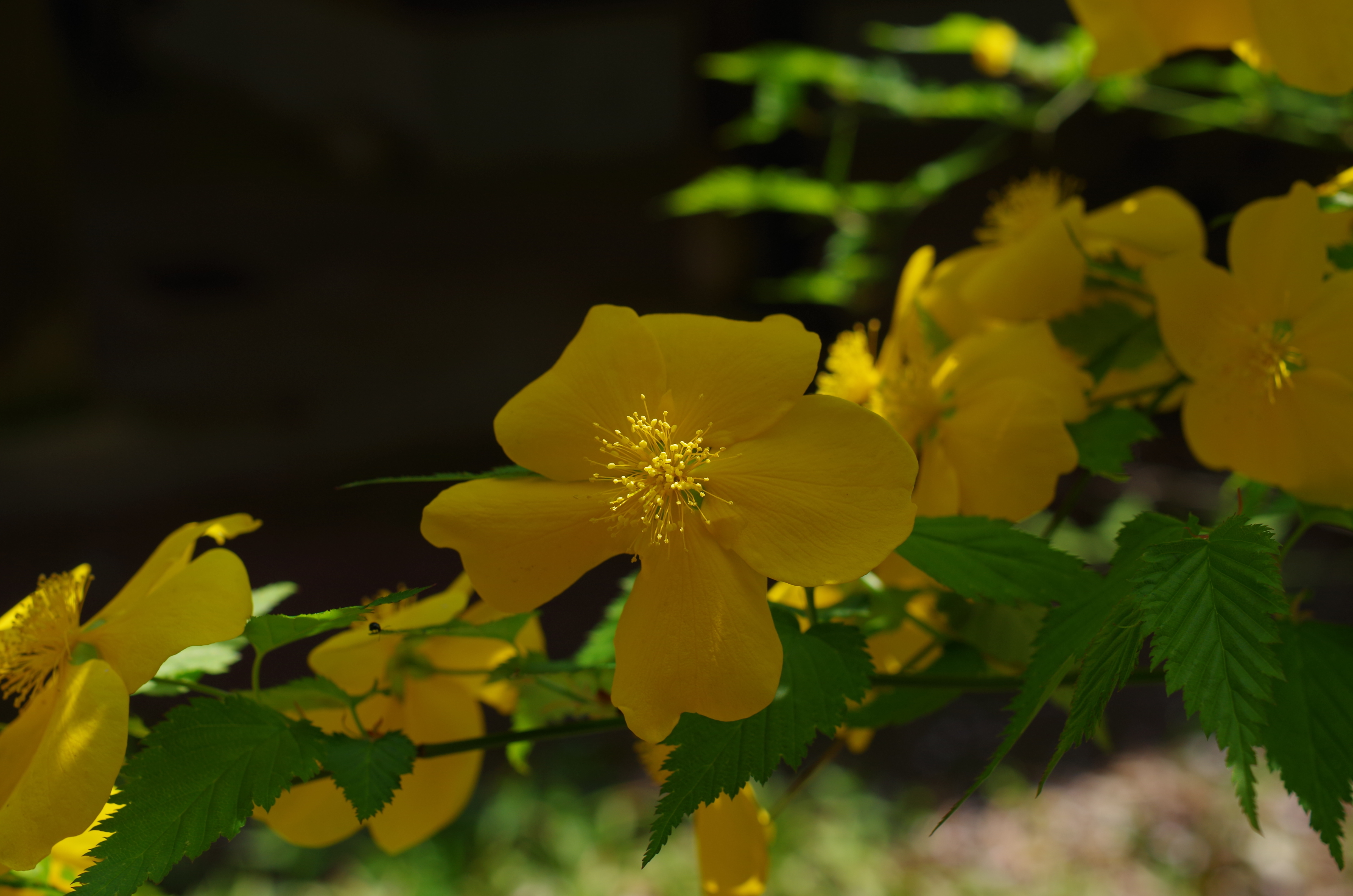
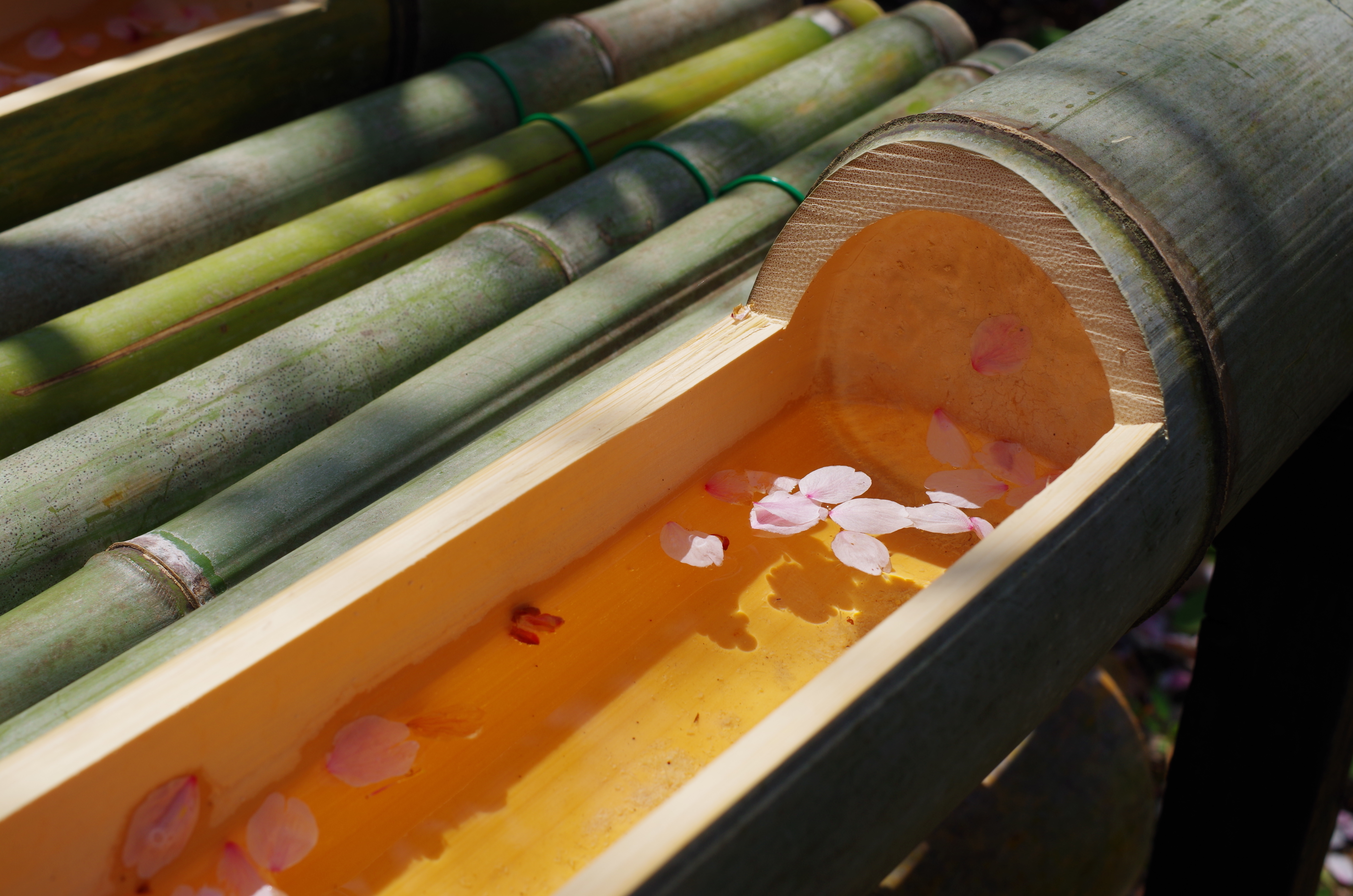
重源の里
重源の里
重源の里

重源の里
重源の里
重源の里
Topographic Map of Tachigouchi, Yoshika-chō, Kanoashi-gun, Shimane-ken -, Japan
Find elevation by address:

Places near Tachigouchi, Yoshika-chō, Kanoashi-gun, Shimane-ken -, Japan:
99 Arii, Yoshika-chō, Kanoashi-gun, Shimane-ken -, Japan
Kurōbara, Yoshika-chō, Kanoashi-gun, Shimane-ken -, Japan
90 Kōji, Yoshika-chō, Kanoashi-gun, Shimane-ken -, Japan
Muikaichi, Yoshika-chō, Kanoashi-gun, Shimane-ken -, Japan
Kuragi, Yoshika-chō, Kanoashi-gun, Shimane-ken -, Japan
Kuragi, Yoshika-chō, Kanoashi-gun, Shimane-ken -, Japan
Sawada, Yoshika-chō, Kanoashi-gun, Shimane-ken -, Japan
Hiroishi, Yoshika-chō, Kanoashi-gun, Shimane-ken -, Japan
Nishikimachisugawa, Iwakuni-shi, Yamaguchi-ken -, Japan
Nishikimachifukagawa, Iwakuni-shi, Yamaguchi-ken -, Japan
Higuchi, Yoshika-chō, Kanoashi-gun, Shimane-ken -, Japan
Tachido, Yoshika-chō, Kanoashi-gun, Shimane-ken -, Japan
Nishikimachifukagawa, Iwakuni-shi, Yamaguchi-ken -, Japan
Nishikimachisugawa, Iwakuni-shi, Yamaguchi-ken -, Japan
Shimegawa, Yoshika-chō, Kanoashi-gun, Shimane-ken -, Japan
Tachido, Yoshika-chō, Kanoashi-gun, Shimane-ken -, Japan
Tanohara, Yoshika-chō, Kanoashi-gun, Shimane-ken -, Japan
Nishikimachisugawa, Iwakuni-shi, Yamaguchi-ken -, Japan
Nishikimachifunotani, Iwakuni-shi, Yamaguchi-ken -, Japan
14 Nishikimachisugawa, Iwakuni-shi, Yamaguchi-ken -, Japan
Recent Searches:
- Elevation of Elwyn Dr, Roanoke Rapids, NC, USA
- Elevation of Congressional Dr, Stevensville, MD, USA
- Elevation of Bellview Rd, McLean, VA, USA
- Elevation of Stage Island Rd, Chatham, MA, USA
- Elevation of Shibuya Scramble Crossing, 21 Udagawacho, Shibuya City, Tokyo -, Japan
- Elevation of Jadagoniai, Kaunas District Municipality, Lithuania
- Elevation of Pagonija rock, Kranto 7-oji g. 8"N, Kaunas, Lithuania
- Elevation of Co Rd 87, Jamestown, CO, USA
- Elevation of Tenjo, Cundinamarca, Colombia
- Elevation of Côte-des-Neiges, Montreal, QC H4A 3J6, Canada