Elevation of Shimegawa, Yoshika-chō, Kanoashi-gun, Shimane-ken -, Japan
Location: Japan > Shimane Prefecture > Kanoashi District > Yoshika >
Longitude: 131.903122
Latitude: 34.359176
Elevation: 277m / 909feet
Barometric Pressure: 98KPa
Elevation Map:
Satellite Map:
Related Photos:
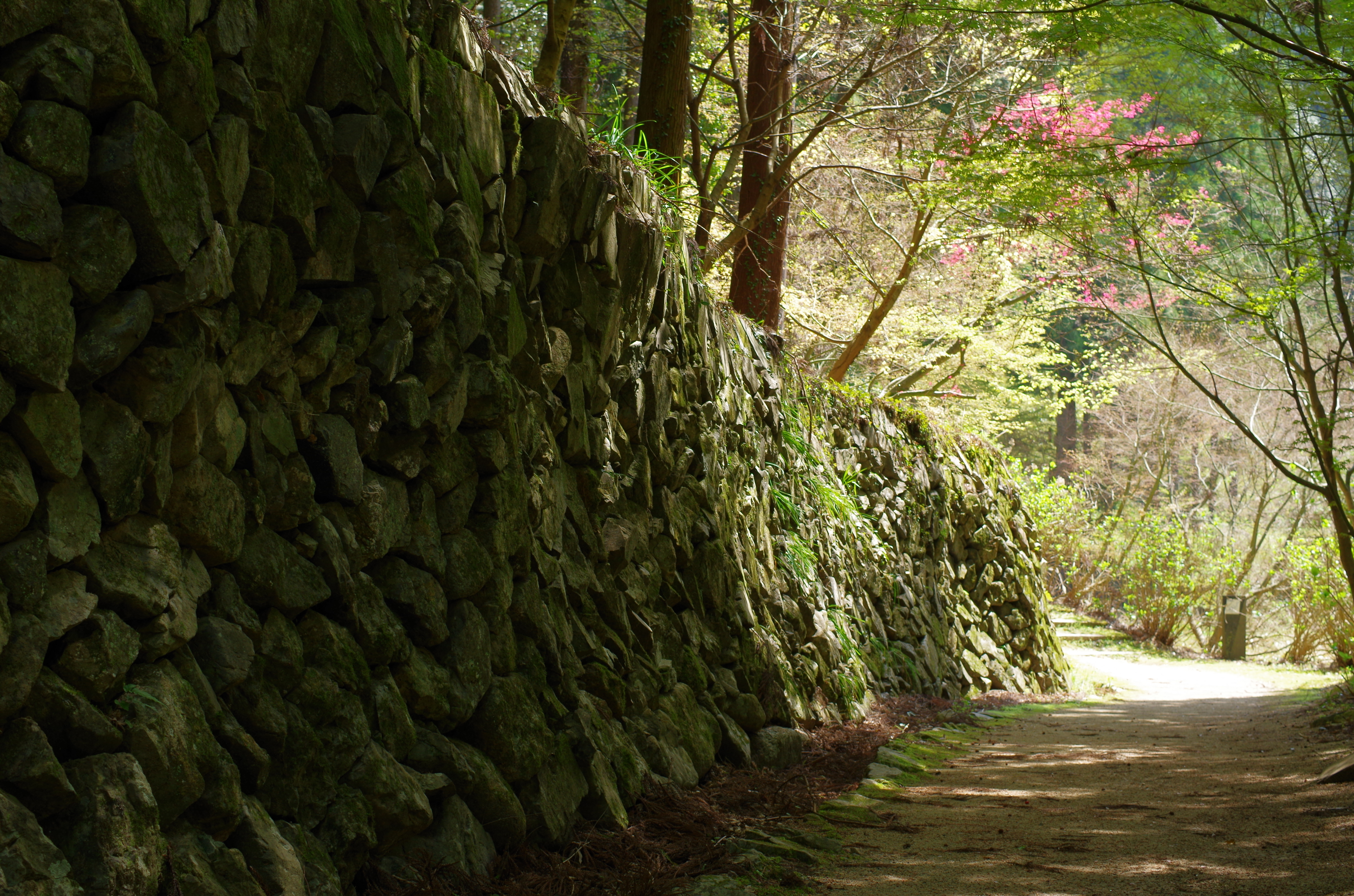
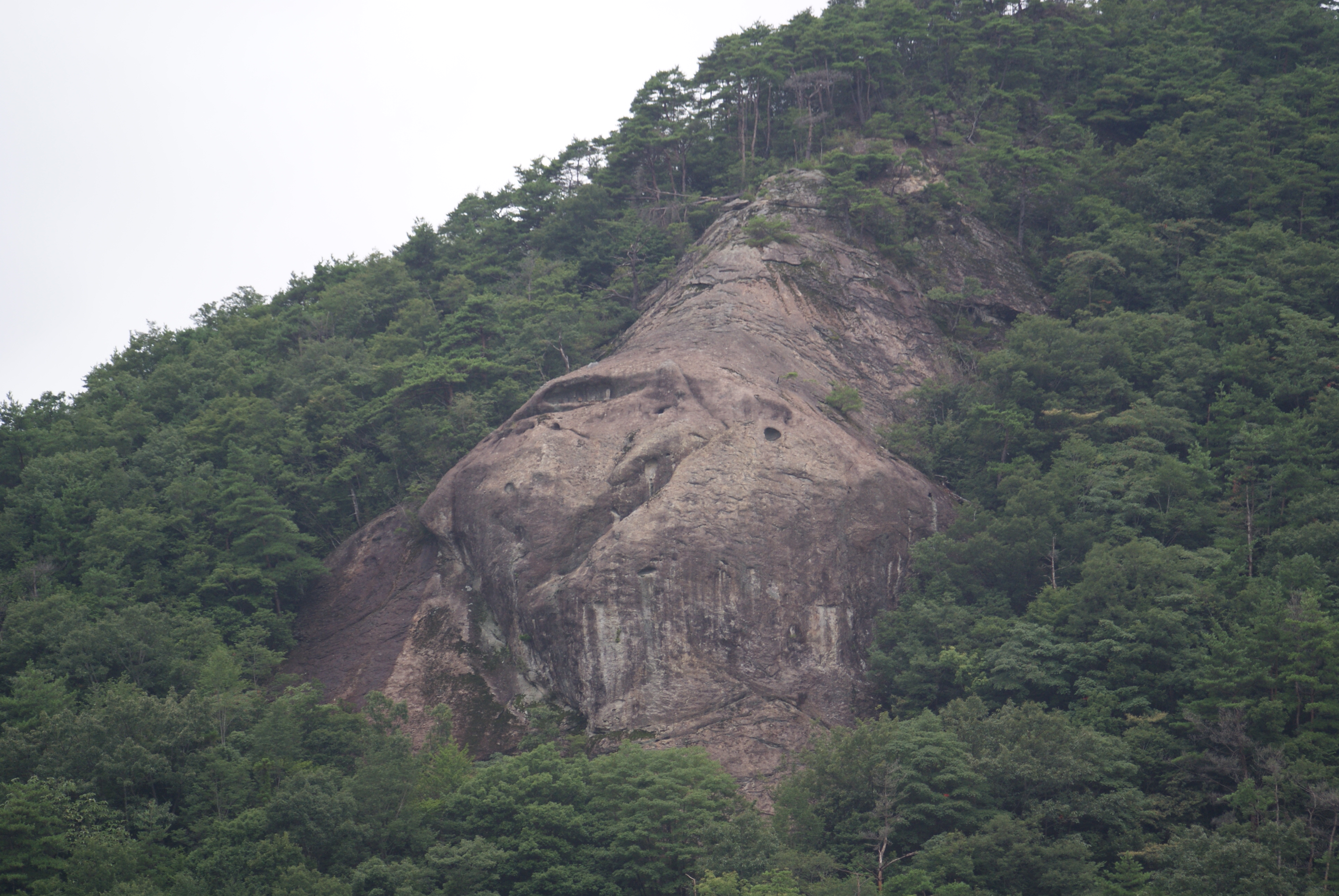
重源の里
IMG_20160618_141514.jpg
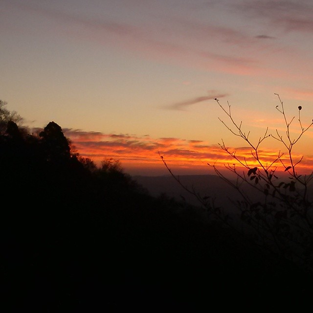
現場帰りの山の夕焼け。 もっと早く気付けば、絶景だったんじゃけどな!
IMG_20160618_141613.jpg
IMG_20160618_120747.jpg
IMG_20160618_120726.jpg
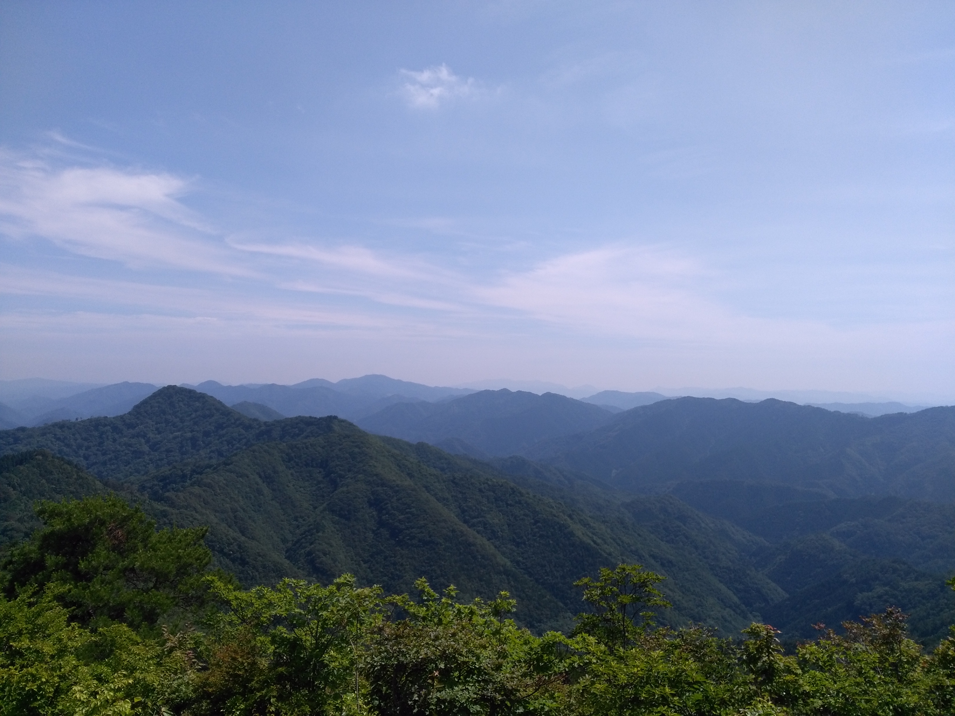
ご近所
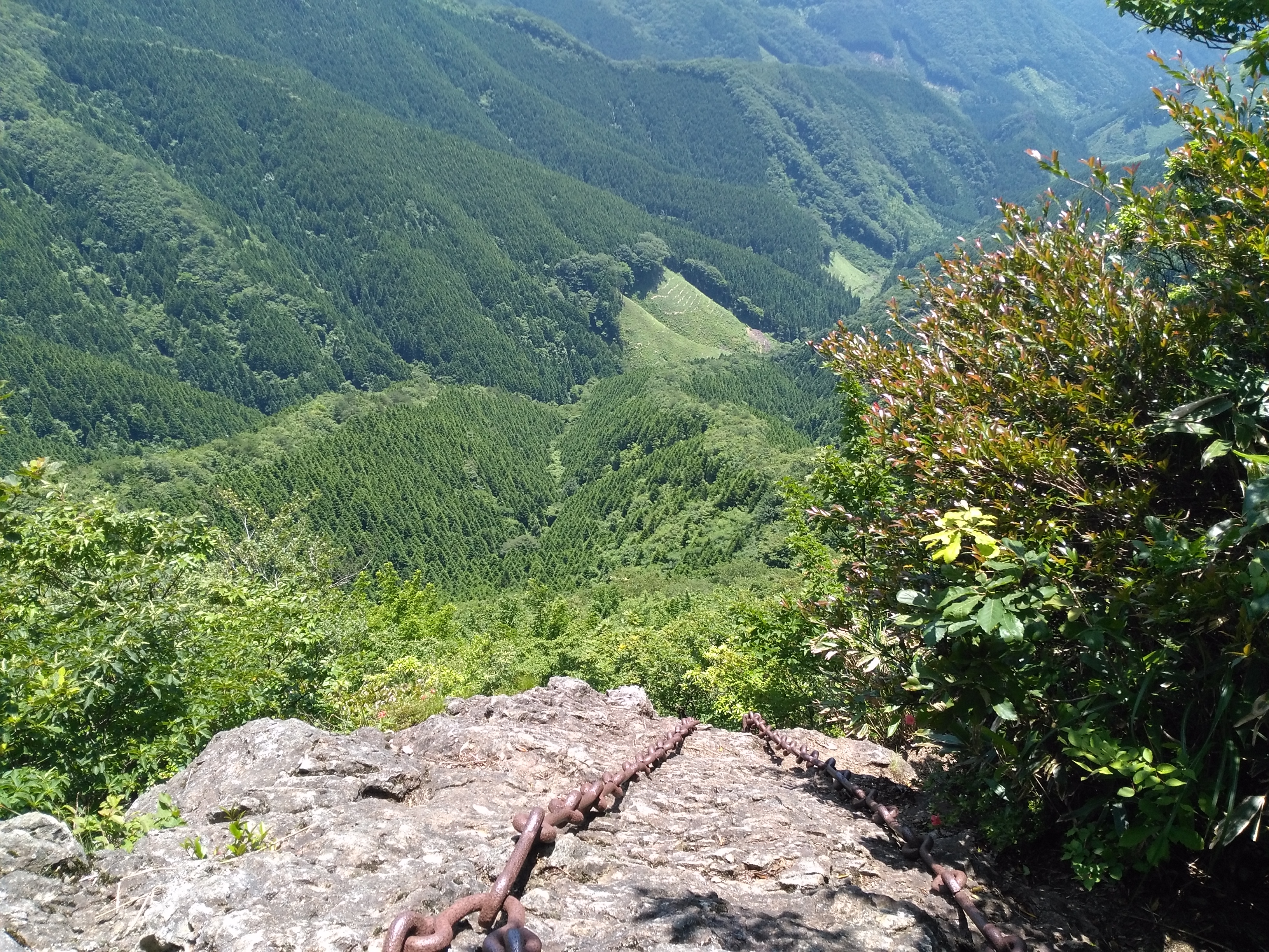
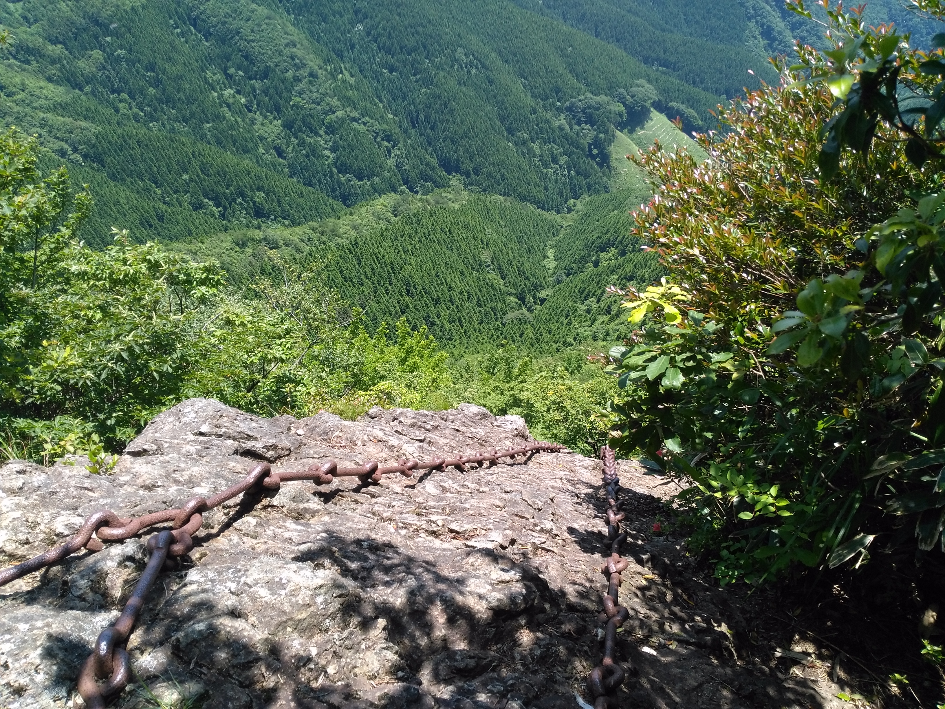
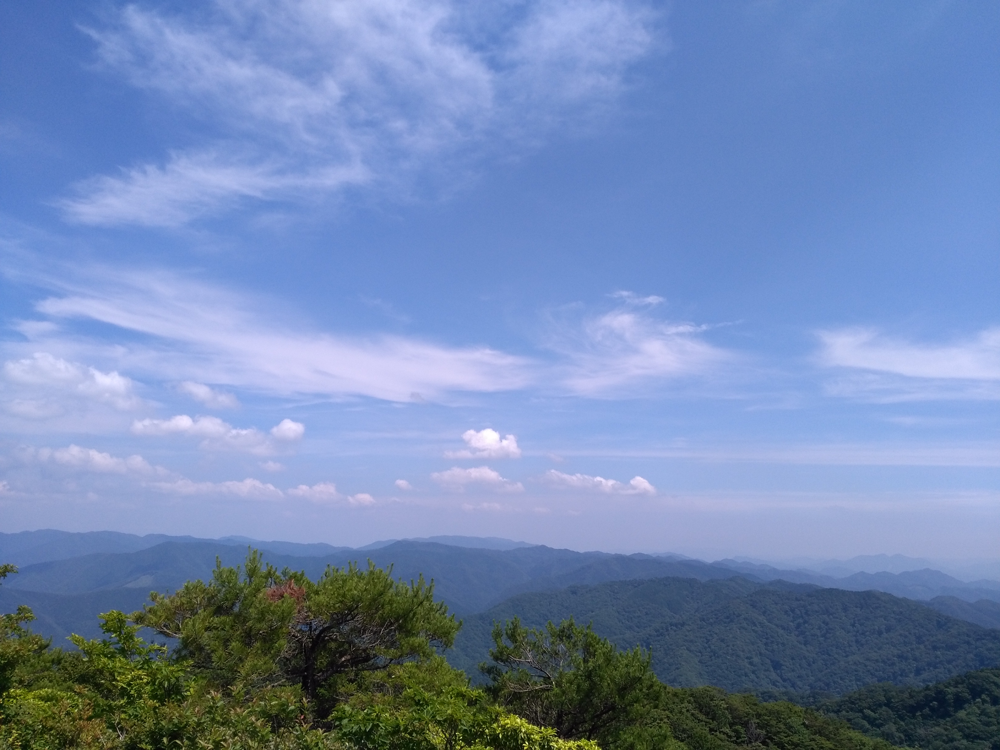
あざみケ岳
IMG_20160618_141527.jpg

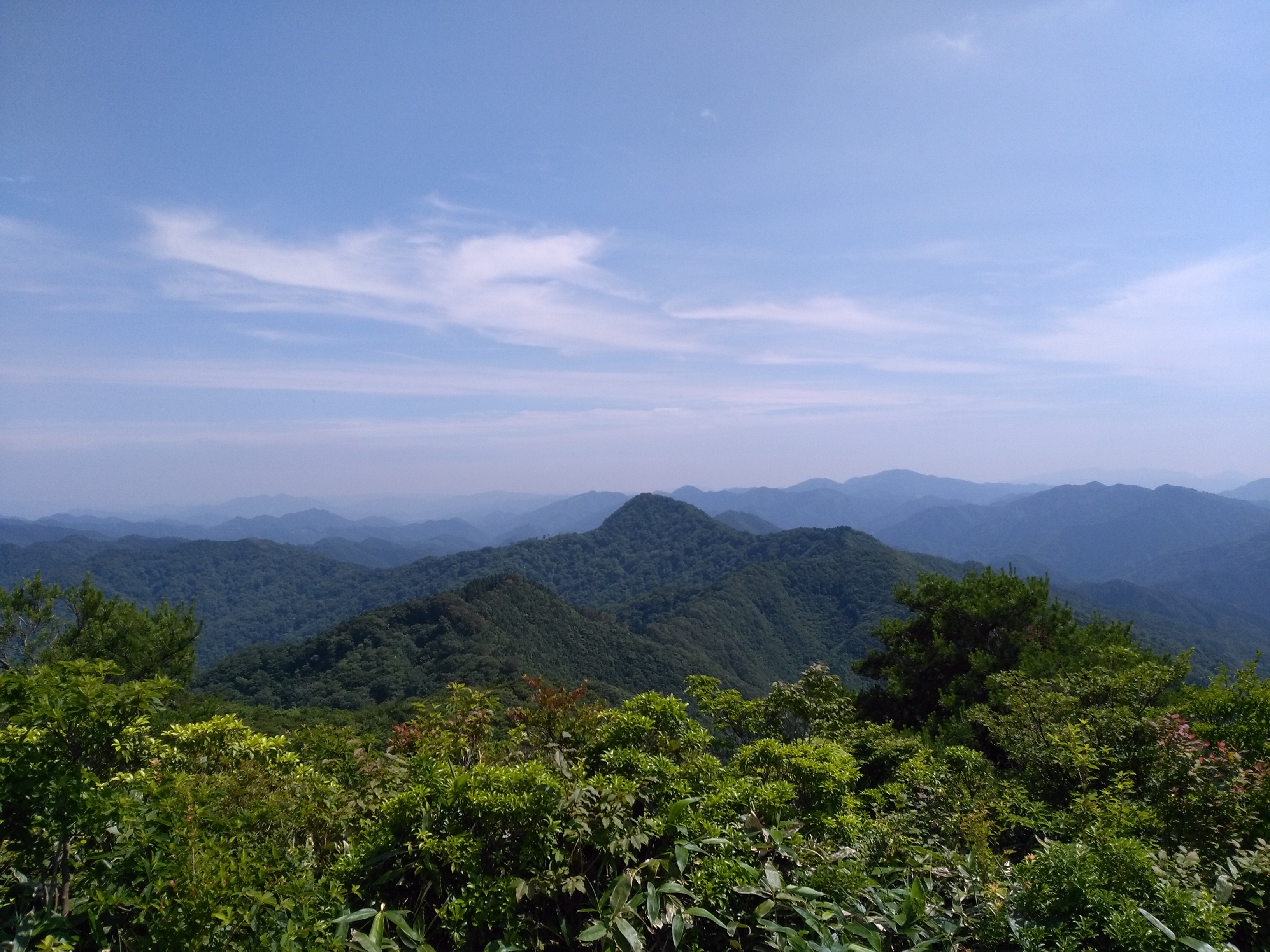
The Return: Yamaguchi
冬はホワイトライオンかな!
Topographic Map of Shimegawa, Yoshika-chō, Kanoashi-gun, Shimane-ken -, Japan
Find elevation by address:

Places near Shimegawa, Yoshika-chō, Kanoashi-gun, Shimane-ken -, Japan:
Asakura, Yoshika-chō, Kanoashi-gun, Shimane-ken -, Japan
Tachido, Yoshika-chō, Kanoashi-gun, Shimane-ken -, Japan
Sawada, Yoshika-chō, Kanoashi-gun, Shimane-ken -, Japan
Hiroishi, Yoshika-chō, Kanoashi-gun, Shimane-ken -, Japan
Tachido, Yoshika-chō, Kanoashi-gun, Shimane-ken -, Japan
59 Asakura, Yoshika-chō, Kanoashi-gun, Shimane-ken -, Japan
Nanukaichi, Yoshika-chō, Kanoashi-gun, Shimane-ken -, Japan
Muikaichi, Yoshika-chō, Kanoashi-gun, Shimane-ken -, Japan
Tadeno, Yoshika-chō, Kanoashi-gun, Shimane-ken -, Japan
Nanukaichi, Yoshika-chō, Kanoashi-gun, Shimane-ken -, Japan
90 Kōji, Yoshika-chō, Kanoashi-gun, Shimane-ken -, Japan
Nukutsuki, Yoshika-chō, Kanoashi-gun, Shimane-ken -, Japan
99 Arii, Yoshika-chō, Kanoashi-gun, Shimane-ken -, Japan
Sanada, Yoshika-chō, Kanoashi-gun, Shimane-ken -, Japan
69 Nanukaichi, Yoshika-chō, Kanoashi-gun, Shimane-ken -, Japan
Tadeno, Yoshika-chō, Kanoashi-gun, Shimane-ken -, Japan
Tachigouchi, Yoshika-chō, Kanoashi-gun, Shimane-ken -, Japan
Kurōbara, Yoshika-chō, Kanoashi-gun, Shimane-ken -, Japan
Tadeno, Yoshika-chō, Kanoashi-gun, Shimane-ken -, Japan
Kakinokimura Ōnobara, Yoshika-chō, Kanoashi-gun, Shimane-ken -, Japan
Recent Searches:
- Elevation of Lampiasi St, Sarasota, FL, USA
- Elevation of Elwyn Dr, Roanoke Rapids, NC, USA
- Elevation of Congressional Dr, Stevensville, MD, USA
- Elevation of Bellview Rd, McLean, VA, USA
- Elevation of Stage Island Rd, Chatham, MA, USA
- Elevation of Shibuya Scramble Crossing, 21 Udagawacho, Shibuya City, Tokyo -, Japan
- Elevation of Jadagoniai, Kaunas District Municipality, Lithuania
- Elevation of Pagonija rock, Kranto 7-oji g. 8"N, Kaunas, Lithuania
- Elevation of Co Rd 87, Jamestown, CO, USA
- Elevation of Tenjo, Cundinamarca, Colombia