Elevation of Kanoashi District, Shimane Prefecture, Japan
Location: Japan > Shimane Prefecture >
Longitude: 131.881
Latitude: 34.46
Elevation: 365m / 1198feet
Barometric Pressure: 97KPa
Elevation Map:
Satellite Map:
Related Photos:
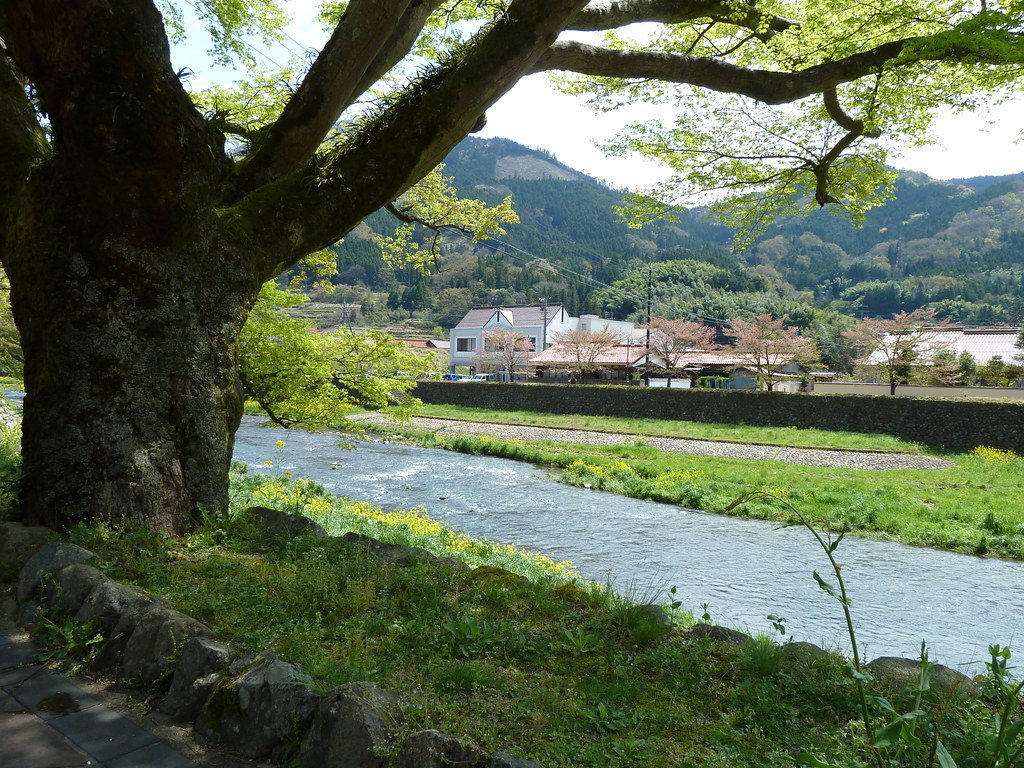
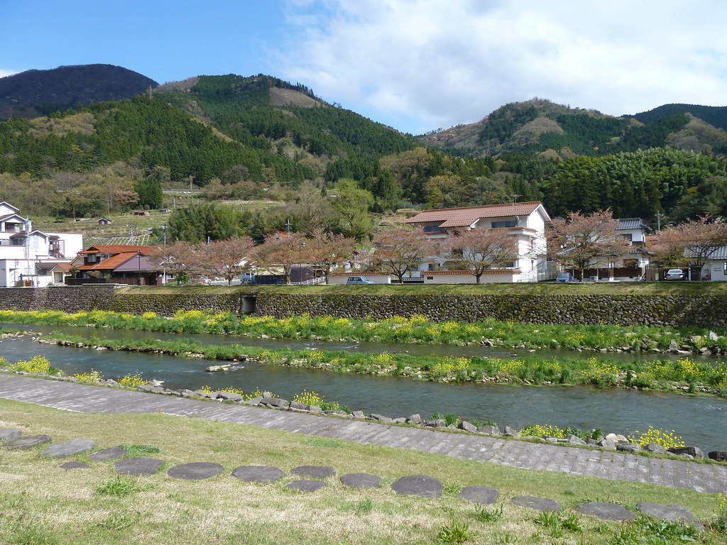
A pretty riverside view (P1000784)
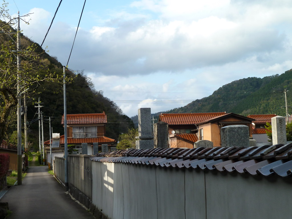
Tsuwano alleyway (P1000898)
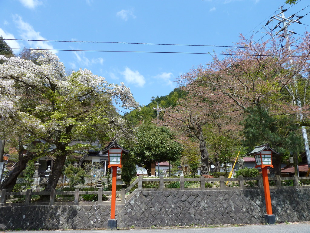
A very Japanese view (P1000780)
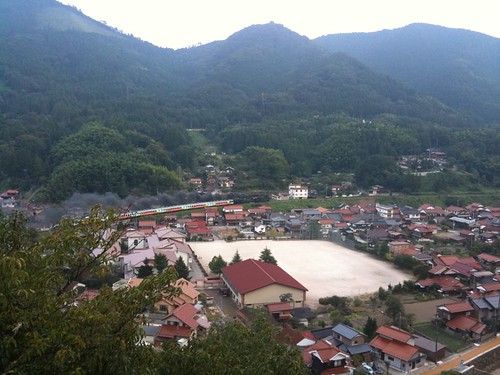
Day 5: Tsuwano
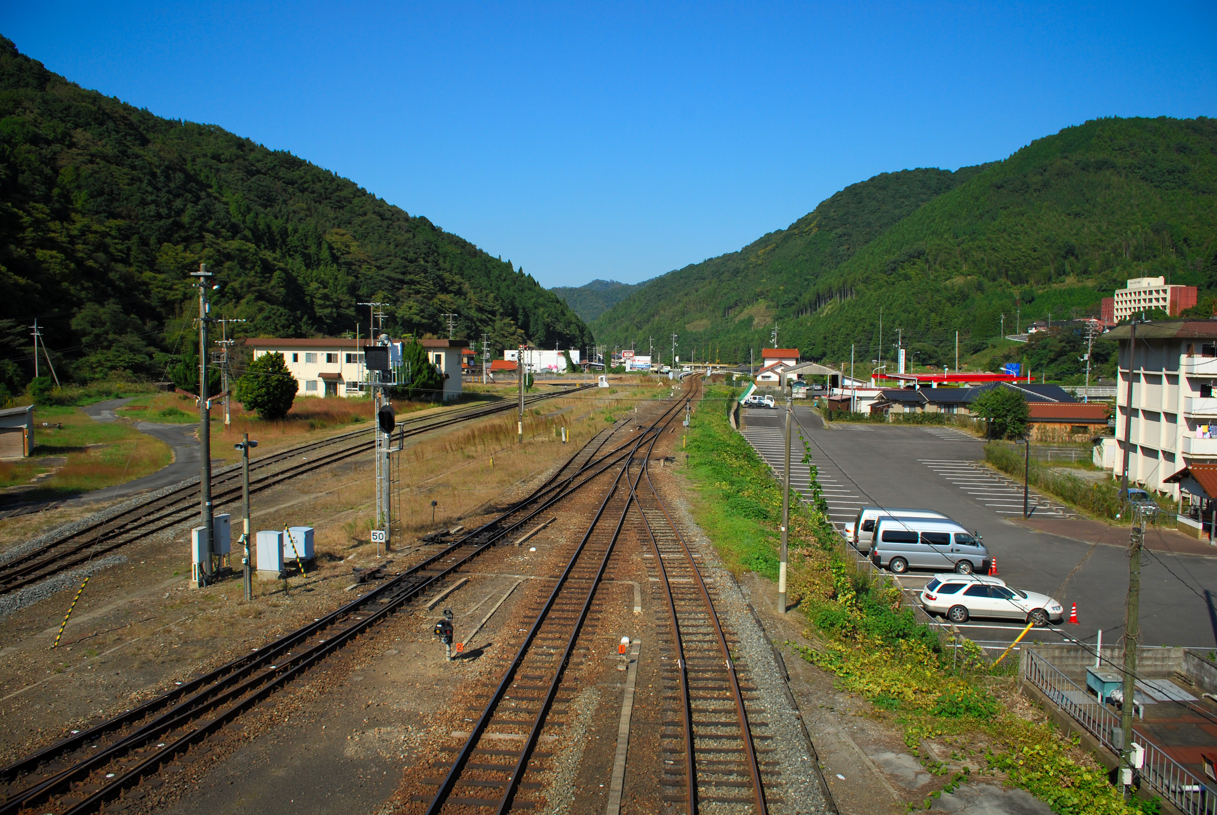
Day 5: Tsuwano
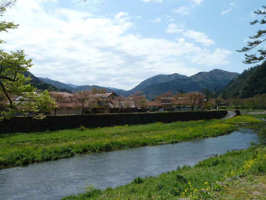
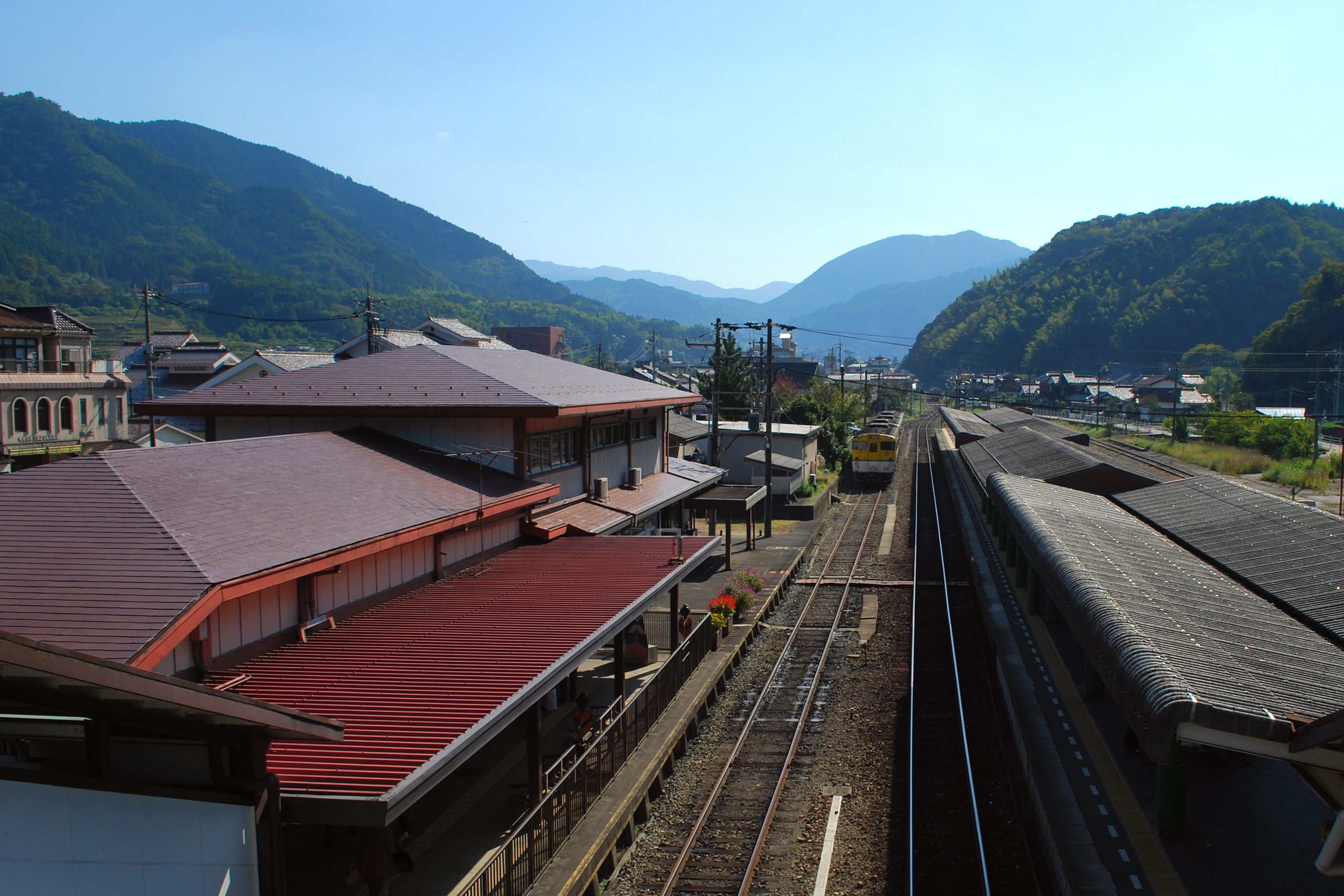
River and mountains, from Tsuwano (P1000786)
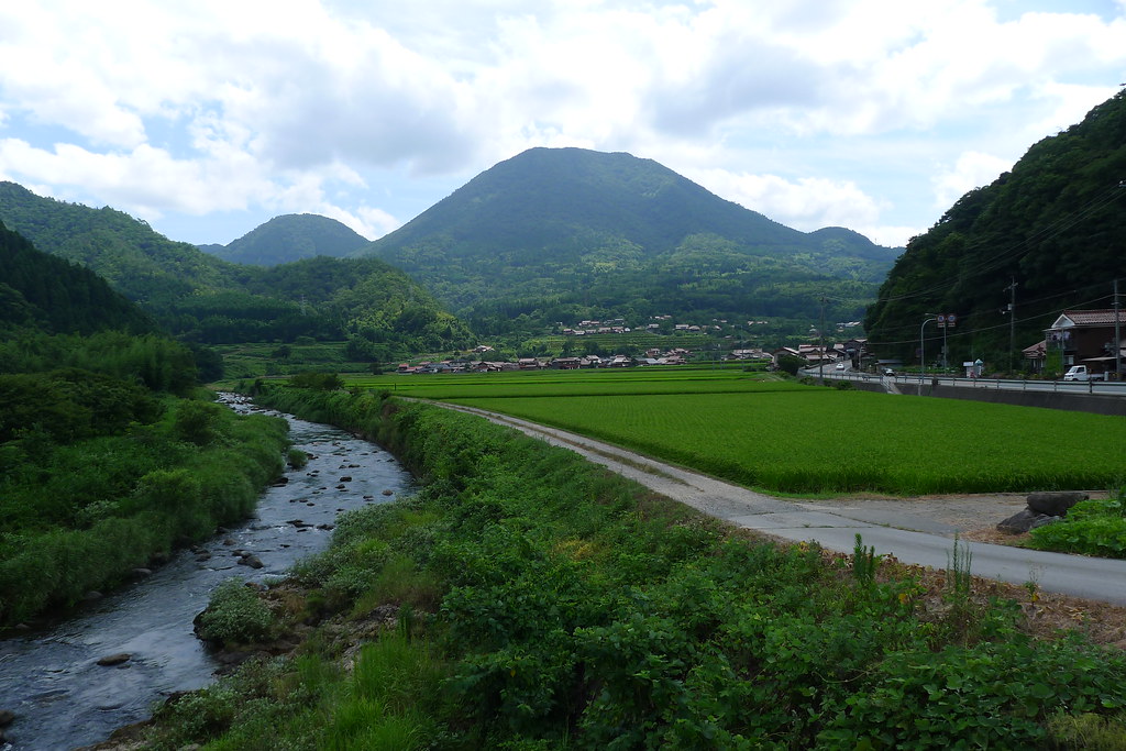
The countryside down (or up) river from Tsuwano (P1000819)
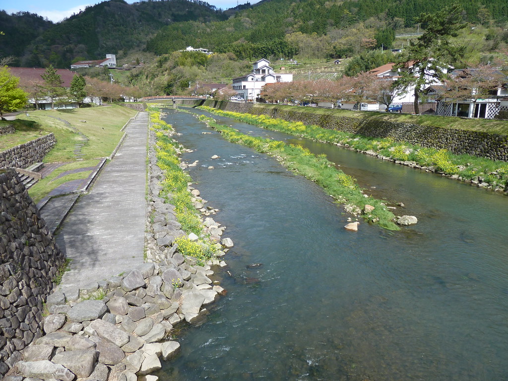
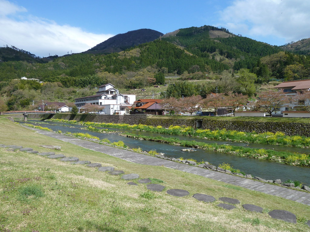
Along the river (P1000824)

Tsuwano buildings nestled against the mountainside (P1000801)
Tsuwano countryside (P1000818)

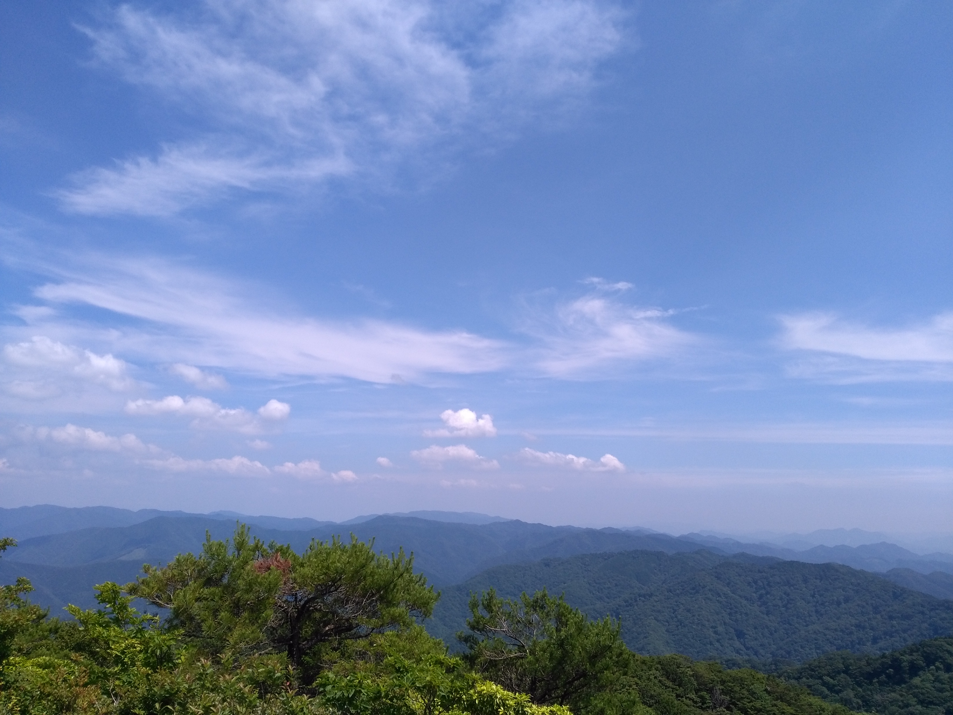
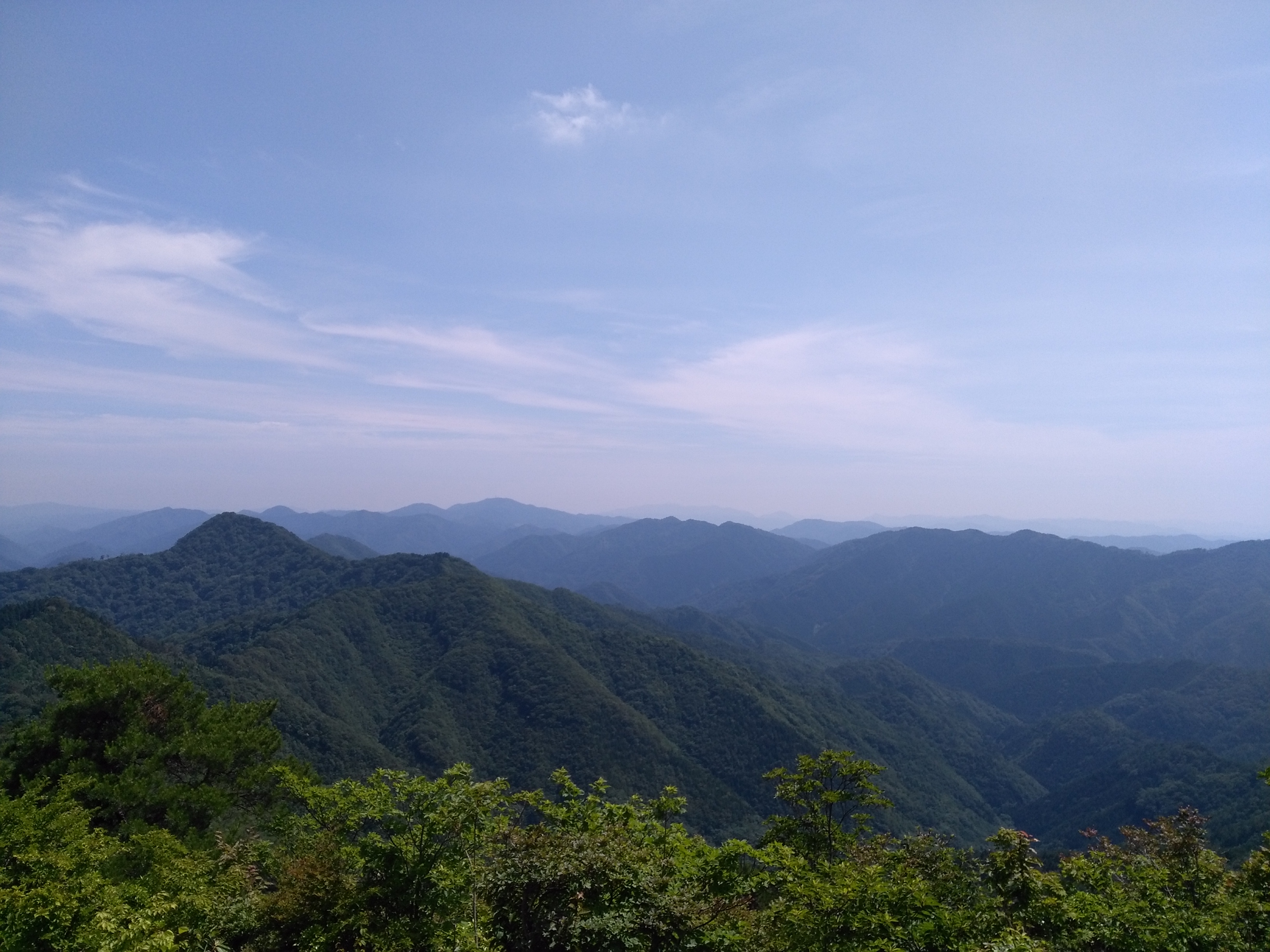
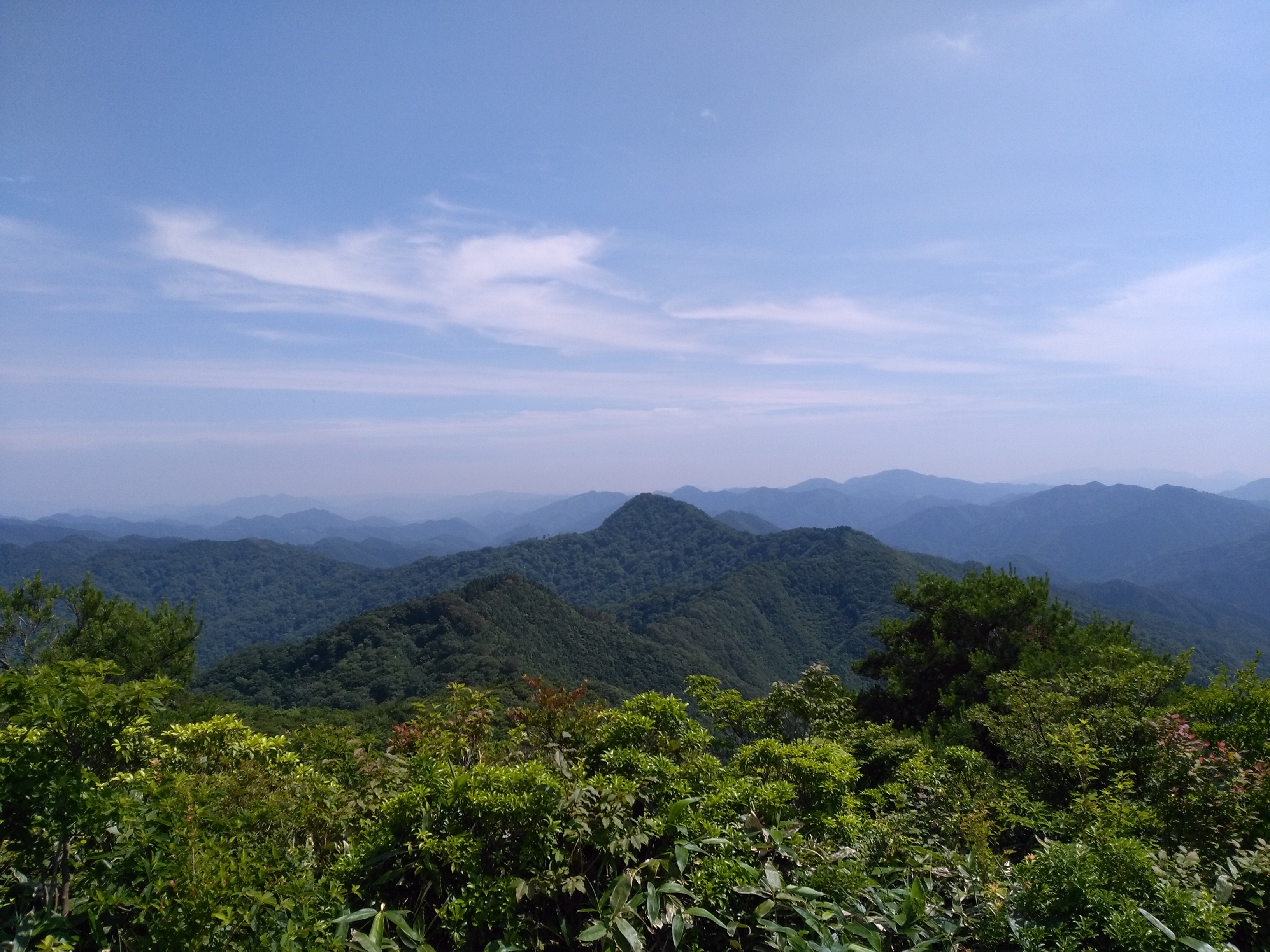
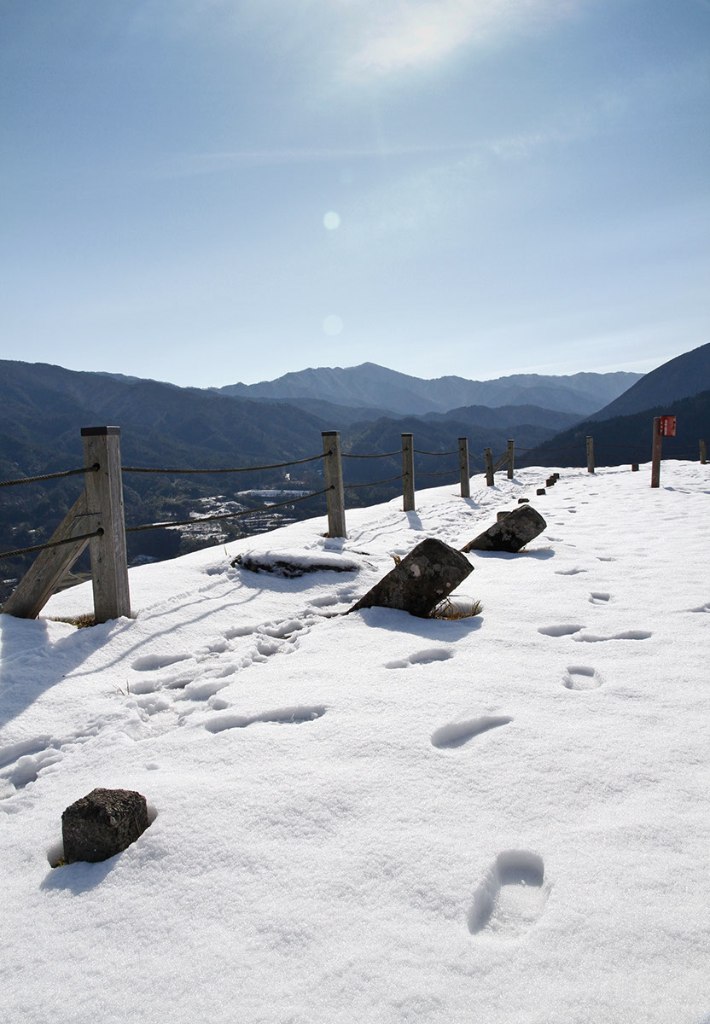
Tsuwano sightseeing chairlift, a view from Mt.top
IMG_20160618_141527.jpg
IMG_20160618_141514.jpg
IMG_20160618_141613.jpg
Aonoyama (青野山)

Tsuwano sightseeing chairlift, Mt.topstation
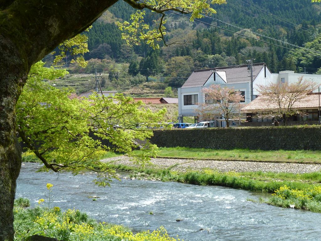
By the river (P1000783)

The Return: Yamaguchi
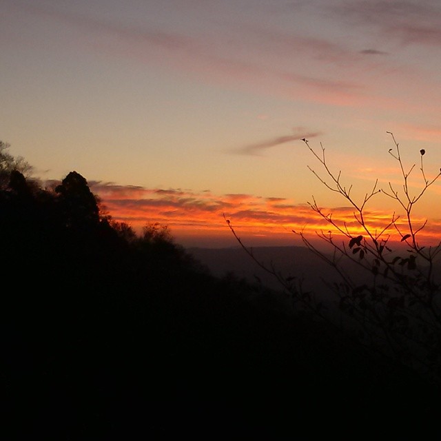
現場帰りの山の夕焼け。 もっと早く気付けば、絶景だったんじゃけどな!
太鼓谷稲成神社
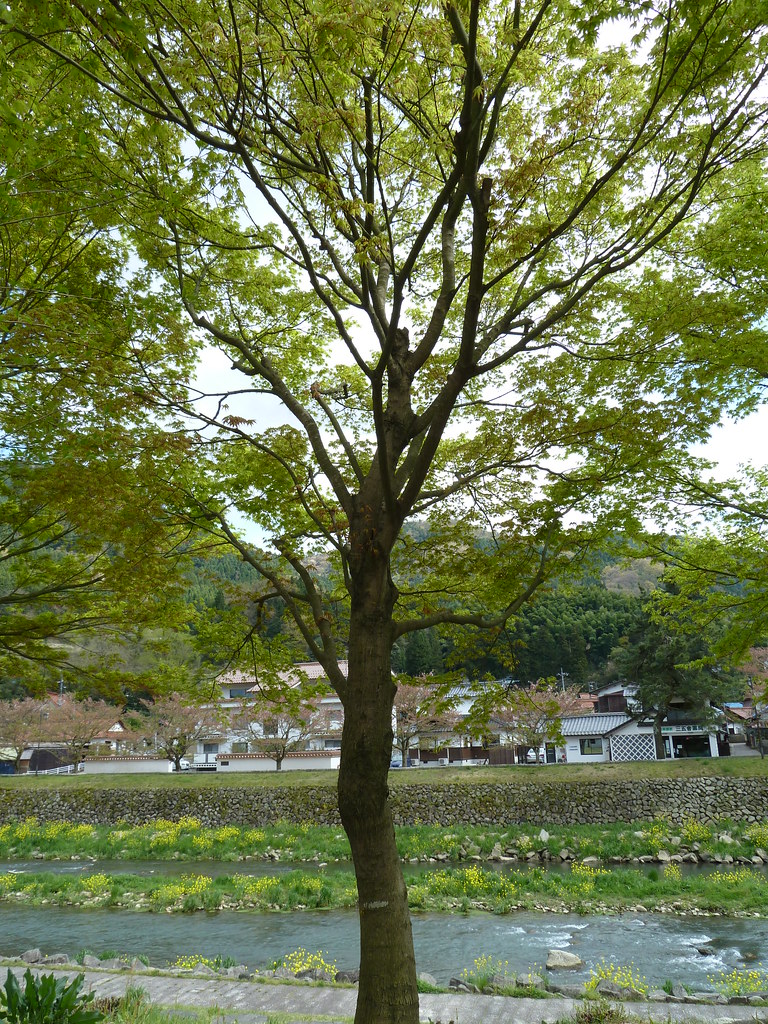
A Japanese maple in spring (P1000813)
Near the old castle of Tsuwano
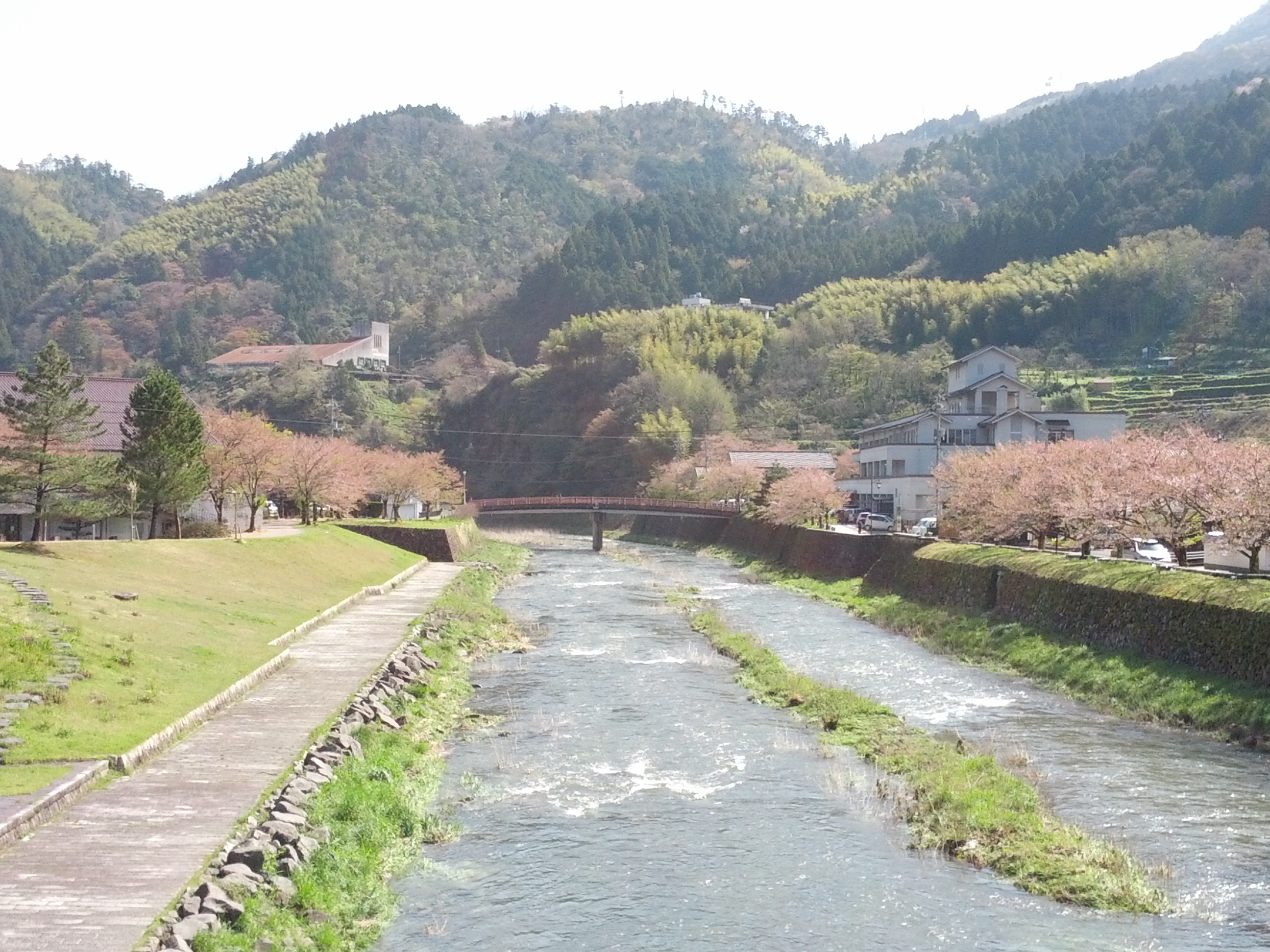
Tsuwanogawa river
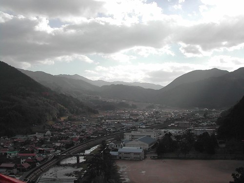
Vue d'ensemble de Tsuwano

20111203-IMG_1107

20111204-IMG_1117
Topographic Map of Kanoashi District, Shimane Prefecture, Japan
Find elevation by address:

Places in Kanoashi District, Shimane Prefecture, Japan:
Places near Kanoashi District, Shimane Prefecture, Japan:
85 Kakinokimura Shiratani, Yoshika-chō, Kanoashi-gun, Shimane-ken -, Japan
Kakinokimura Shimosu, Yoshika-chō, Kanoashi-gun, Shimane-ken -, Japan
Yoshika
Kakinokimura Ōnobara, Yoshika-chō, Kanoashi-gun, Shimane-ken -, Japan
Kakinokimura Kakinoki, Yoshika-chō, Kanoashi-gun, Shimane-ken -, Japan
Kakinokimura Kibedani, Yoshika-chō, Kanoashi-gun, Shimane-ken -, Japan
Kakinokimura Kibedani, Yoshika-chō, Kanoashi-gun, Shimane-ken -, Japan
Sabumi, Tsuwano-chō, Kanoashi-gun, Shimane-ken -, Japan
Kakinokimura Ōnobara, Yoshika-chō, Kanoashi-gun, Shimane-ken -, Japan
Kakinokimura Fukugawa, Yoshika-chō, Kanoashi-gun, Shimane-ken -, Japan
Sanada, Yoshika-chō, Kanoashi-gun, Shimane-ken -, Japan
Kakinokimura Fukugawa, Yoshika-chō, Kanoashi-gun, Shimane-ken -, Japan
69 Nanukaichi, Yoshika-chō, Kanoashi-gun, Shimane-ken -, Japan
Shimotakajiri, Yoshika-chō, Kanoashi-gun, Shimane-ken -, Japan
Kakinokimura Fukugawa, Yoshika-chō, Kanoashi-gun, Shimane-ken -, Japan
Nukutsuki, Yoshika-chō, Kanoashi-gun, Shimane-ken -, Japan
Kamitakajiri, Yoshika-chō, Kanoashi-gun, Shimane-ken -, Japan
Nanukaichi, Yoshika-chō, Kanoashi-gun, Shimane-ken -, Japan
Kamitakajiri, Yoshika-chō, Kanoashi-gun, Shimane-ken -, Japan
Kakinokimura Fukugawa, Yoshika-chō, Kanoashi-gun, Shimane-ken -, Japan
Recent Searches:
- Elevation of Côte-des-Neiges, Montreal, QC H4A 3J6, Canada
- Elevation of Bobcat Dr, Helena, MT, USA
- Elevation of Zu den Ihlowbergen, Althüttendorf, Germany
- Elevation of Badaber, Peshawar, Khyber Pakhtunkhwa, Pakistan
- Elevation of SE Heron Loop, Lincoln City, OR, USA
- Elevation of Slanický ostrov, 01 Námestovo, Slovakia
- Elevation of Spaceport America, Co Rd A, Truth or Consequences, NM, USA
- Elevation of Warwick, RI, USA
- Elevation of Fern Rd, Whitmore, CA, USA
- Elevation of 62 Abbey St, Marshfield, MA, USA