Elevation of Kuragi, Yoshika-chō, Kanoashi-gun, Shimane-ken -, Japan
Location: Japan > Shimane Prefecture > Kanoashi District > Yoshika >
Longitude: 131.968707
Latitude: 34.3673558
Elevation: 364m / 1194feet
Barometric Pressure: 97KPa
Elevation Map:
Satellite Map:
Related Photos:
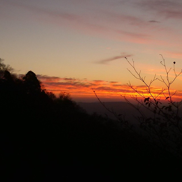
現場帰りの山の夕焼け。 もっと早く気付けば、絶景だったんじゃけどな!

Keiko Miyake
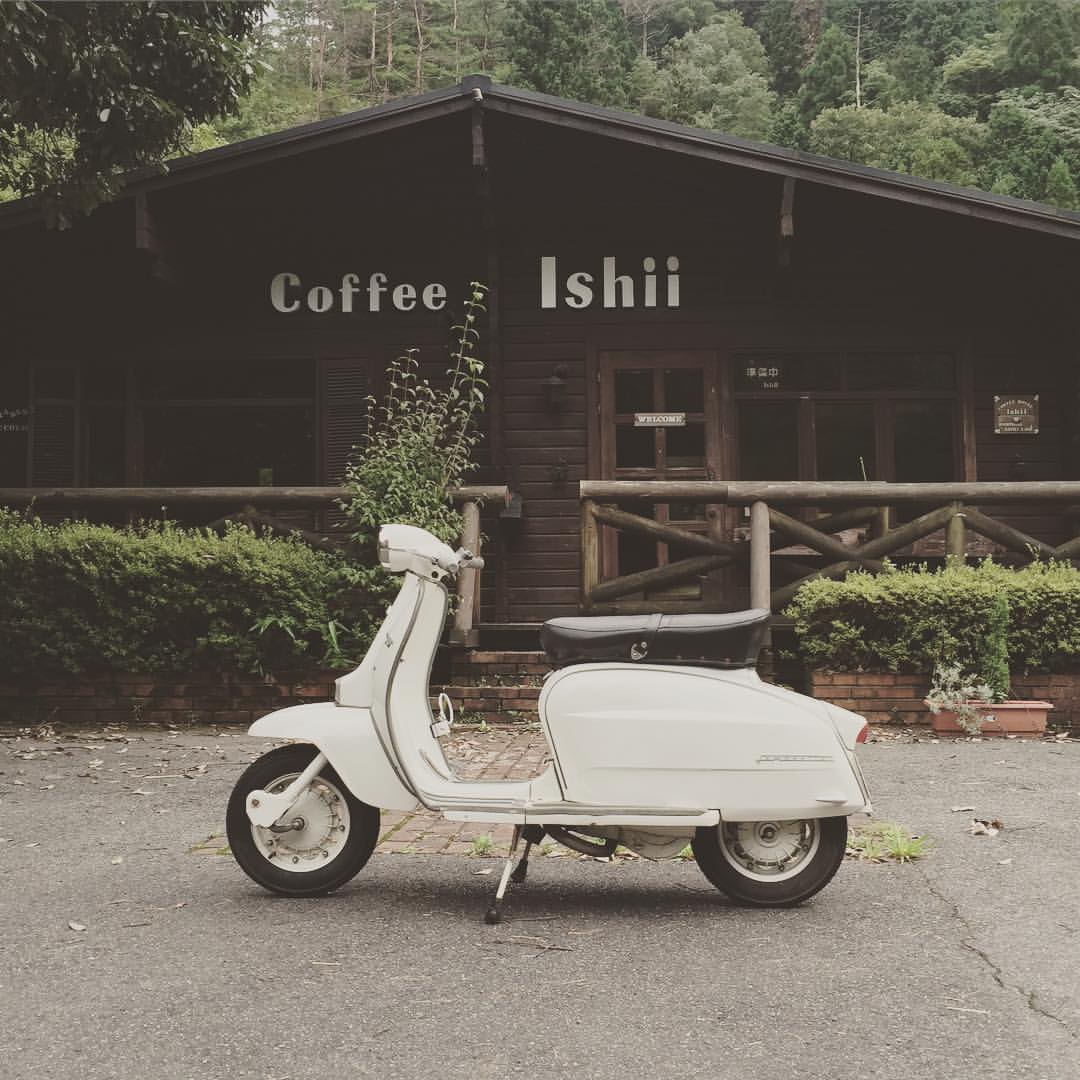
キャブセッティングかな?エンジンが温まると、アイドリングしなくなります。かぶってるようです。高回転は調子いいんですが…。トラブルのお陰で、いい勉強になります。
Yamaguchi 2011

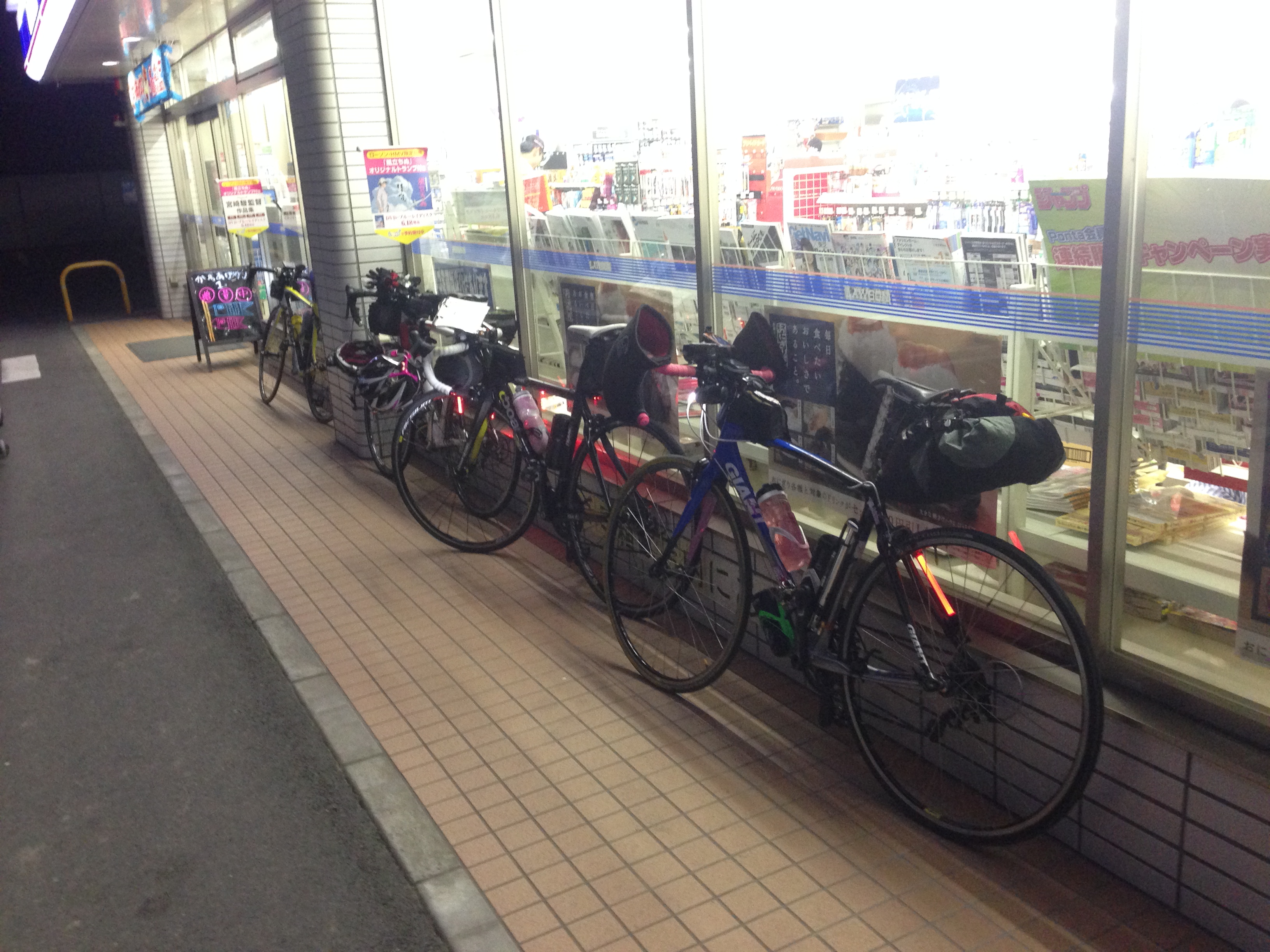
広島ホームテレビの取材がありました。渡辺さん、松本さん、テレビで見るのと同じでとても自然な、楽しい方でした〜(^з^)-☆
IMG_7119.JPG
アップ用-1
アップ用-0
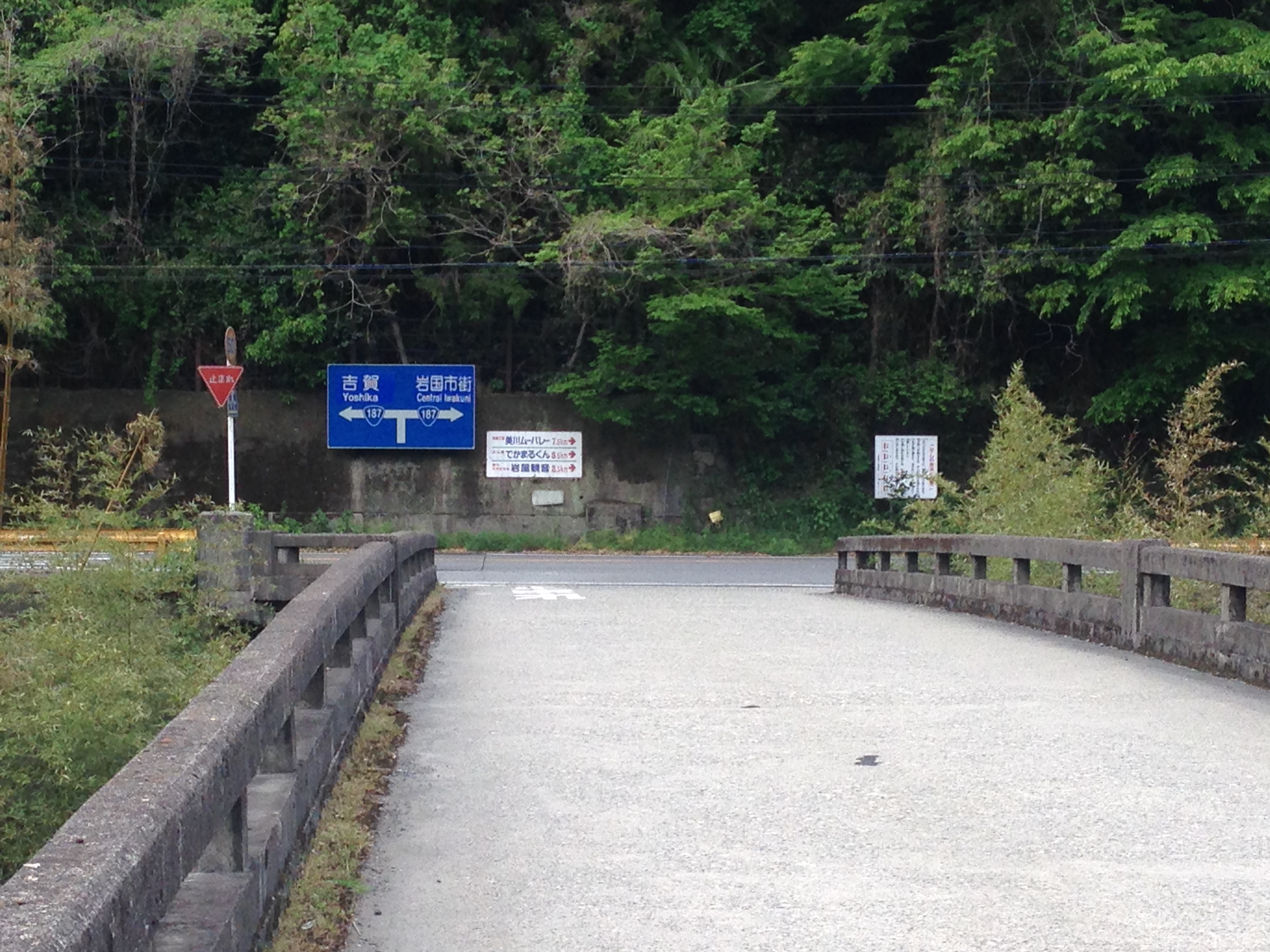
woods.

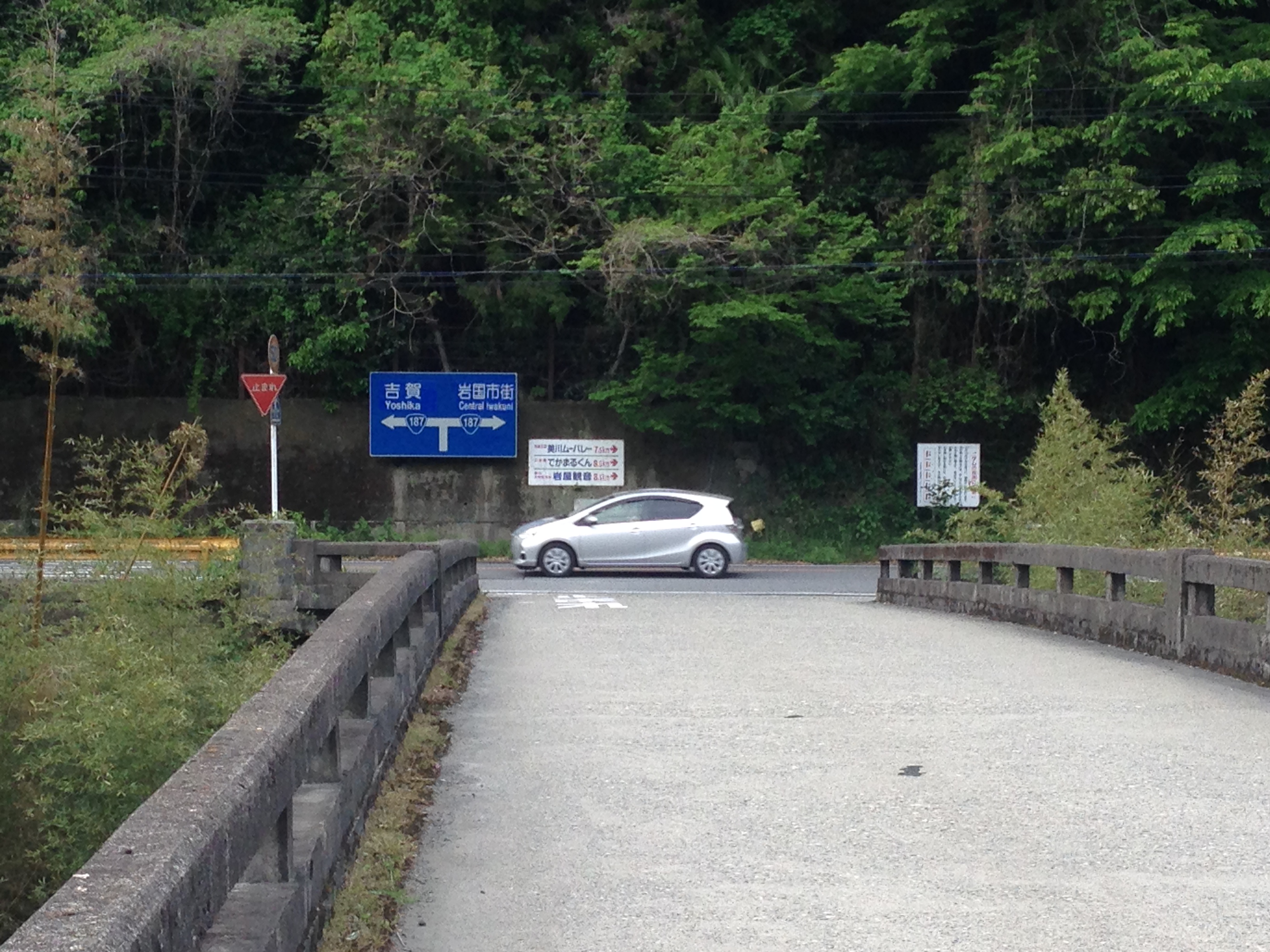
old car.
IMG_7131.JPG
IMG_7130.JPG
IMG_7129.JPG
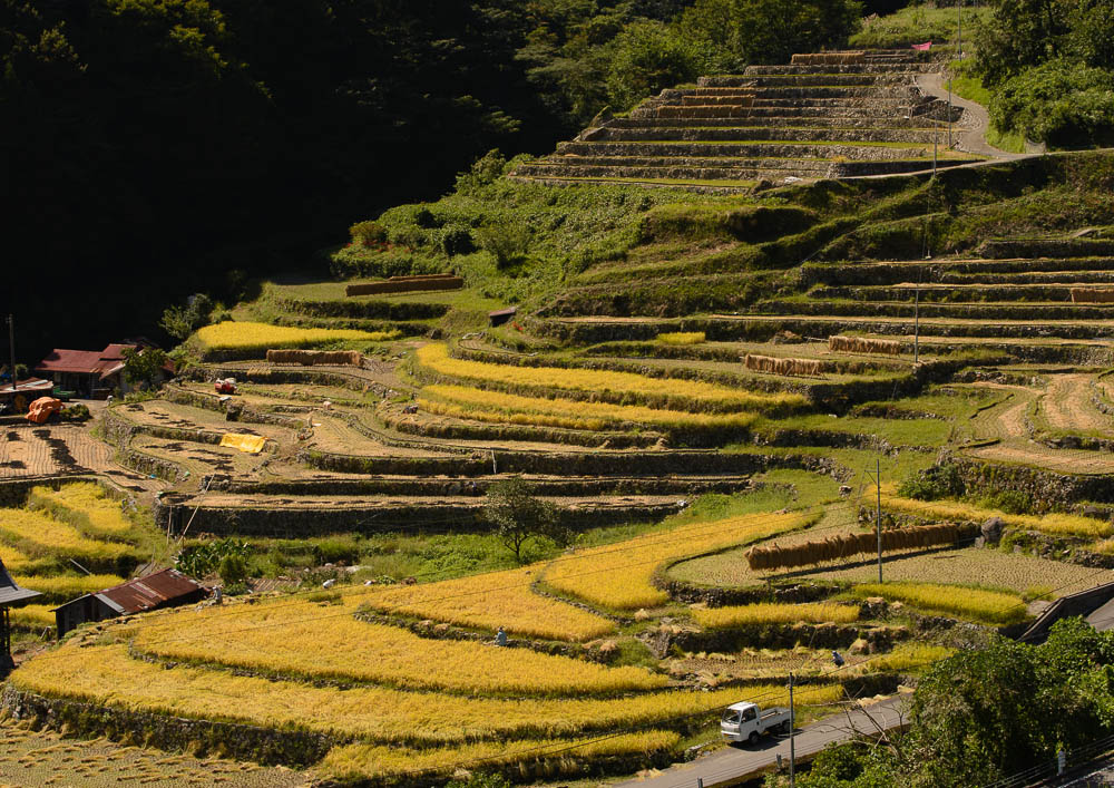
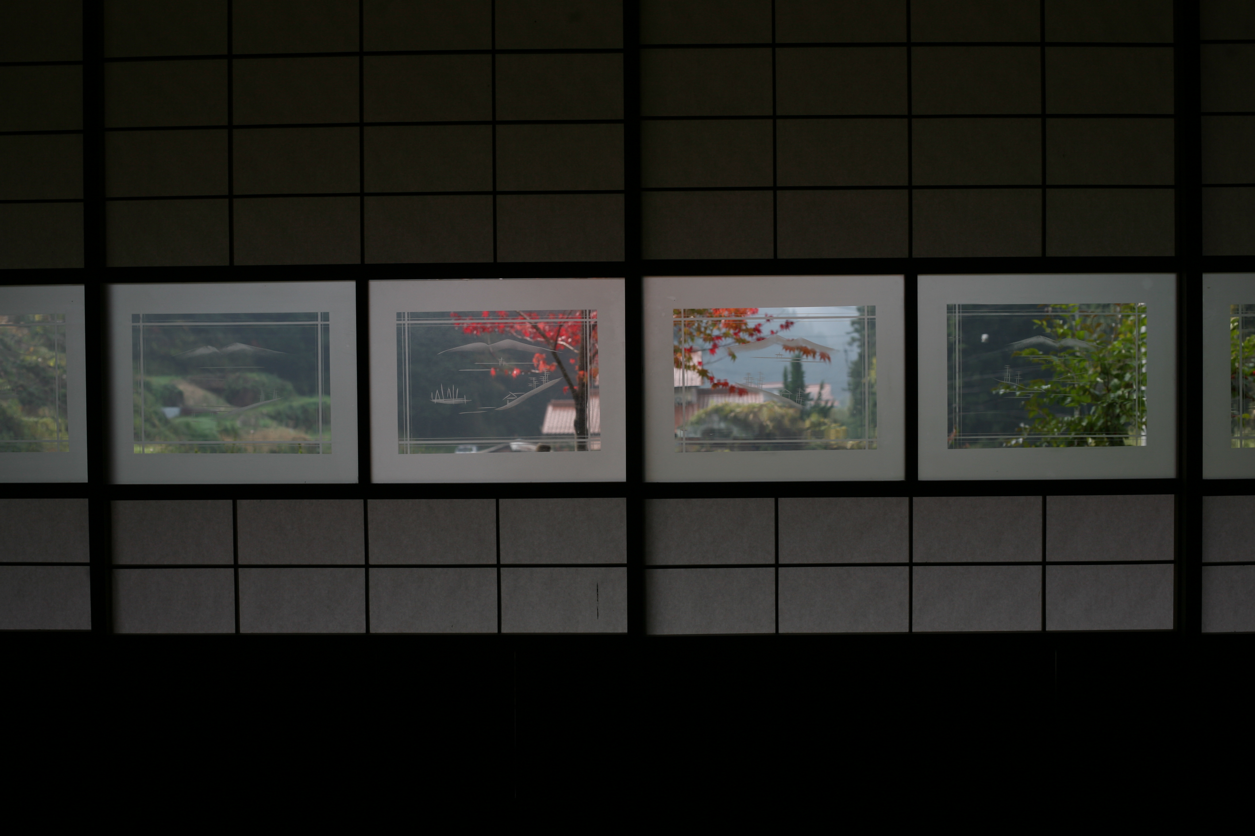
600-year-old rice fields 600年の棚田
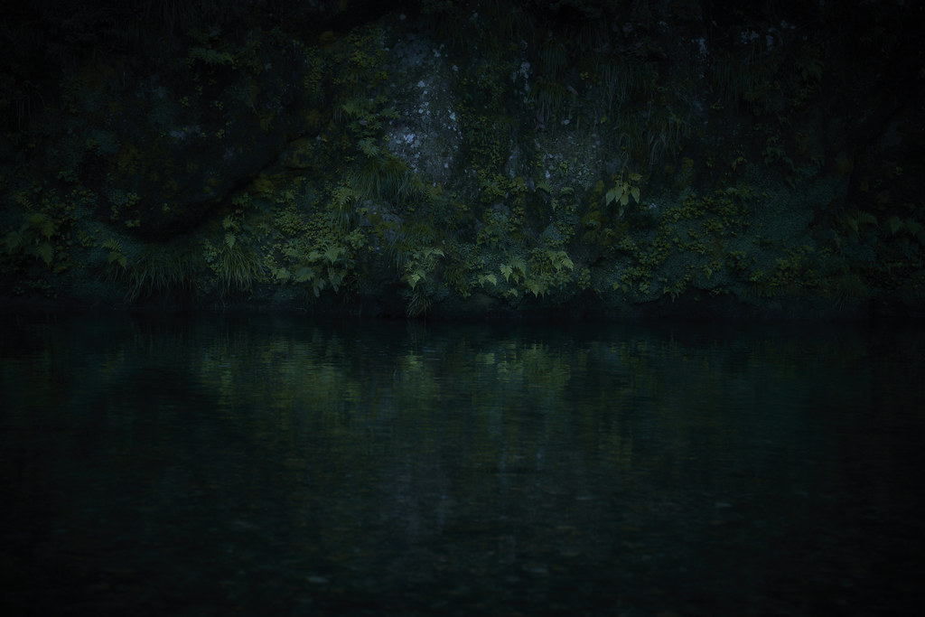
Waterside.
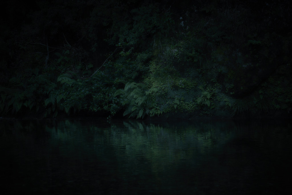
Waterside.
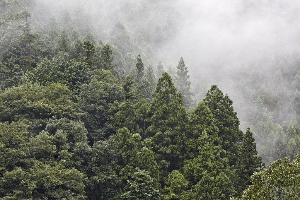
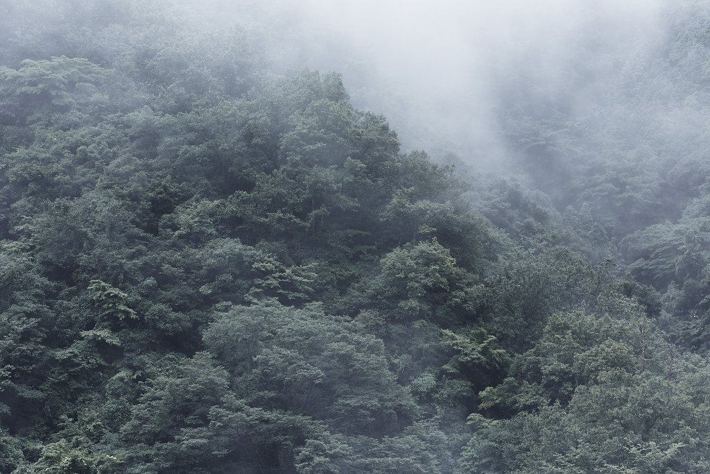
forest.
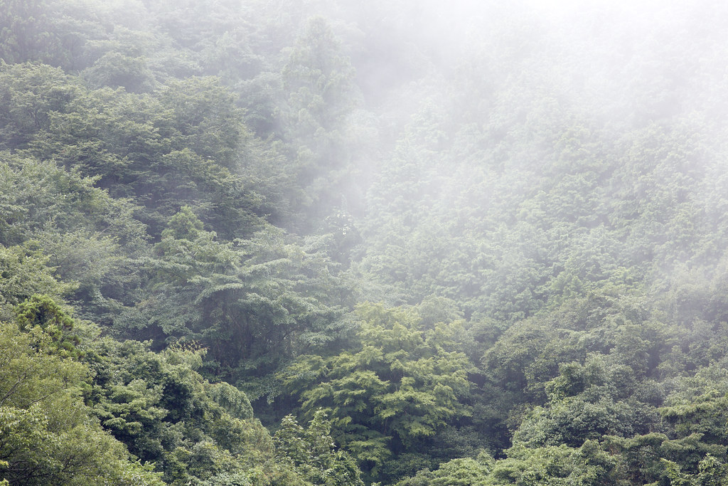
forest.
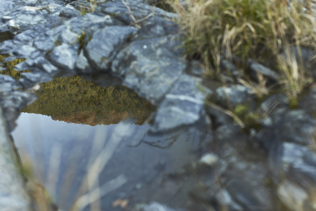
Water surface.
Water surface.
Topographic Map of Kuragi, Yoshika-chō, Kanoashi-gun, Shimane-ken -, Japan
Find elevation by address:

Places near Kuragi, Yoshika-chō, Kanoashi-gun, Shimane-ken -, Japan:
Kuragi, Yoshika-chō, Kanoashi-gun, Shimane-ken -, Japan
Kurōbara, Yoshika-chō, Kanoashi-gun, Shimane-ken -, Japan
Higuchi, Yoshika-chō, Kanoashi-gun, Shimane-ken -, Japan
99 Arii, Yoshika-chō, Kanoashi-gun, Shimane-ken -, Japan
Tachigouchi, Yoshika-chō, Kanoashi-gun, Shimane-ken -, Japan
Tanohara, Yoshika-chō, Kanoashi-gun, Shimane-ken -, Japan
Muikaichi, Yoshika-chō, Kanoashi-gun, Shimane-ken -, Japan
90 Kōji, Yoshika-chō, Kanoashi-gun, Shimane-ken -, Japan
Nishikimachisugawa, Iwakuni-shi, Yamaguchi-ken -, Japan
Tanohara, Yoshika-chō, Kanoashi-gun, Shimane-ken -, Japan
14 Nishikimachisugawa, Iwakuni-shi, Yamaguchi-ken -, Japan
Nishikimachisugawa, Iwakuni-shi, Yamaguchi-ken -, Japan
Hiroishi, Yoshika-chō, Kanoashi-gun, Shimane-ken -, Japan
Tachido, Yoshika-chō, Kanoashi-gun, Shimane-ken -, Japan
Sawada, Yoshika-chō, Kanoashi-gun, Shimane-ken -, Japan
Nishikimachisugawa, Iwakuni-shi, Yamaguchi-ken -, Japan
Nishikimachifukagawa, Iwakuni-shi, Yamaguchi-ken -, Japan
Nishikimachiusagō, Iwakuni-shi, Yamaguchi-ken -, Japan
Nishikimachifukagawa, Iwakuni-shi, Yamaguchi-ken -, Japan
Tachido, Yoshika-chō, Kanoashi-gun, Shimane-ken -, Japan
Recent Searches:
- Elevation of Lampiasi St, Sarasota, FL, USA
- Elevation of Elwyn Dr, Roanoke Rapids, NC, USA
- Elevation of Congressional Dr, Stevensville, MD, USA
- Elevation of Bellview Rd, McLean, VA, USA
- Elevation of Stage Island Rd, Chatham, MA, USA
- Elevation of Shibuya Scramble Crossing, 21 Udagawacho, Shibuya City, Tokyo -, Japan
- Elevation of Jadagoniai, Kaunas District Municipality, Lithuania
- Elevation of Pagonija rock, Kranto 7-oji g. 8"N, Kaunas, Lithuania
- Elevation of Co Rd 87, Jamestown, CO, USA
- Elevation of Tenjo, Cundinamarca, Colombia