Elevation of Tabor Rd, Harmony, NC, USA
Location: United States > North Carolina > Iredell County > Union Grove >
Longitude: -80.81424
Latitude: 35.98328
Elevation: 311m / 1020feet
Barometric Pressure: 98KPa
Elevation Map:
Satellite Map:
Related Photos:
yes you have... a blessed sunday to all ;-)
Side View

Open Sky
HAYES MOTEL
160415-0755 Hamptonville-Pano
160415-0751 Hamptonville-Pano
160415-0843 Union Grove-Pano
160415-0850 Union Grove-Pano
South Yadkin River, Hamptonville NC, Yadkin County
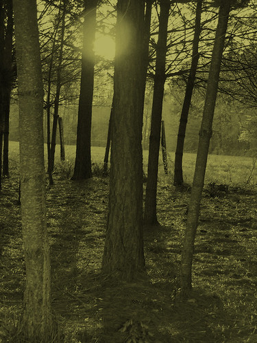
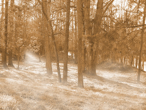
Through the Trees

South Yadkin River, Hamptonville NC, Yadkin County
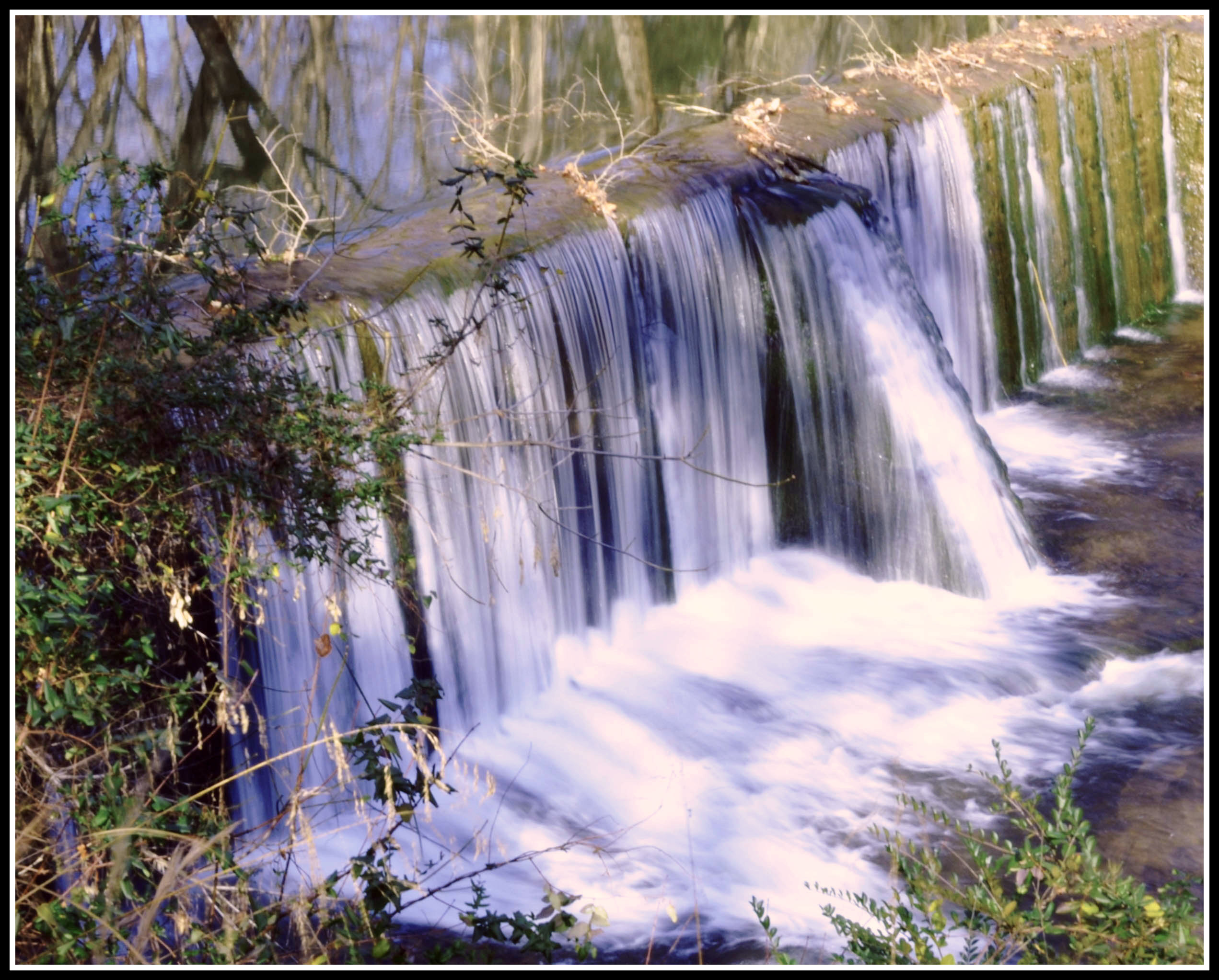
South Yadkin River, Hamptonville NC, Yadkin County

#chasingsunsets

#fall #sunset

Sunrising over the fog at Dixieland Farm (HDR)
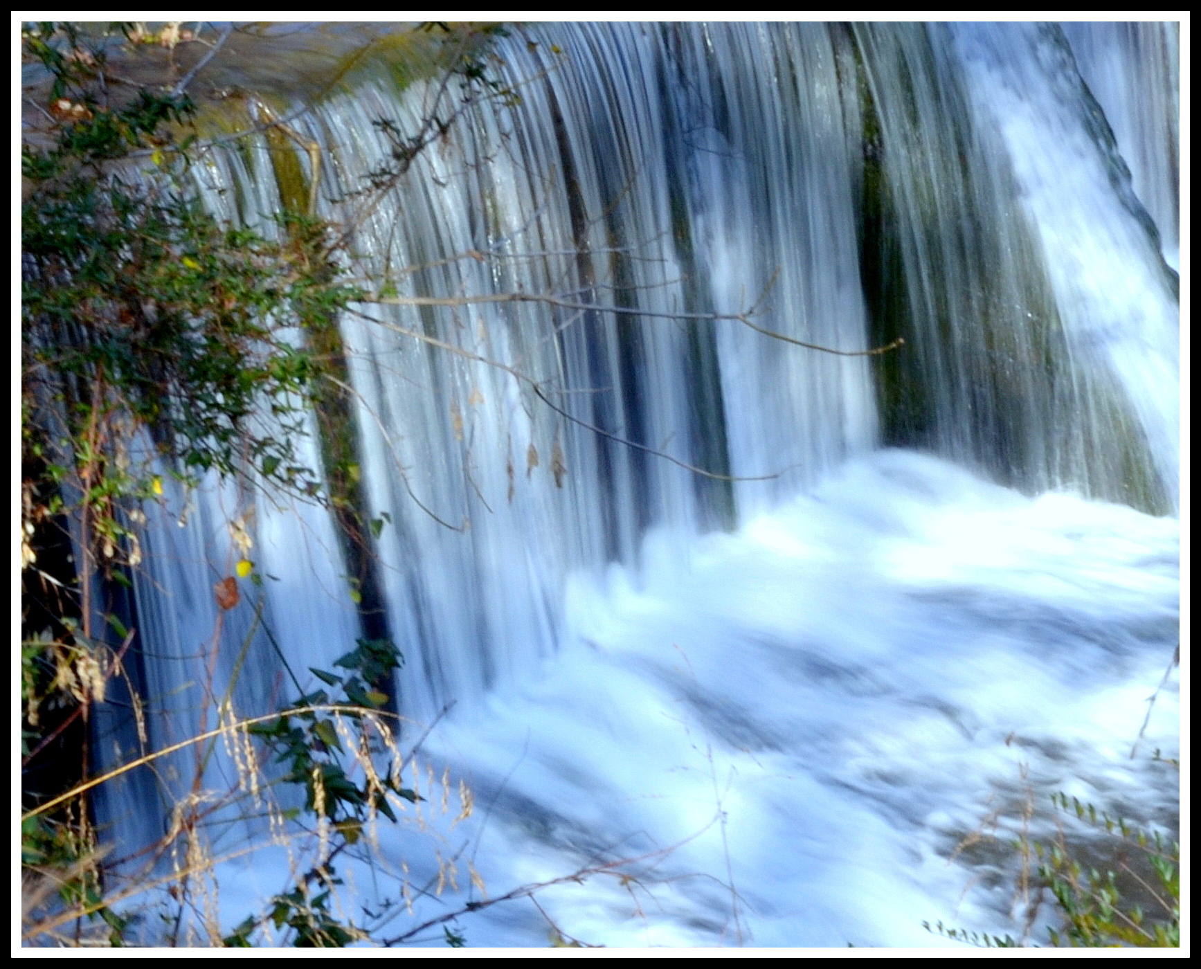
South Yadkin River, Hamptonville NC, Yadkin County

Sun setting behind an old abandon silo (HDR)
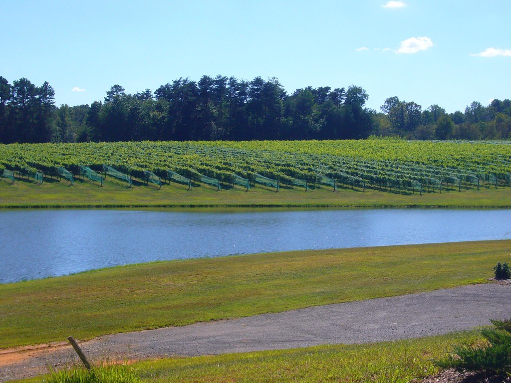
Shadow Springs Vineyard

Late evening light (HDR)
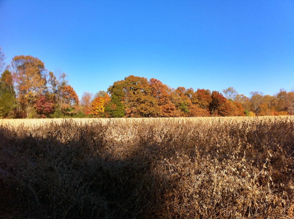
Soybean field
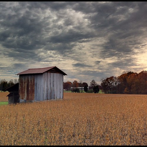
Tobacco barn in the soybean field (iPhone) (True HDR)
2012-Oct-16-36-1
2012-Oct-16-47-1

Hello! My name is 212

At the Pond 3

Sloan's Mill, Yadkin County, Hamptonville NC, Hunting Creek
Mystic Pastures

July 24-25-2012-61-1
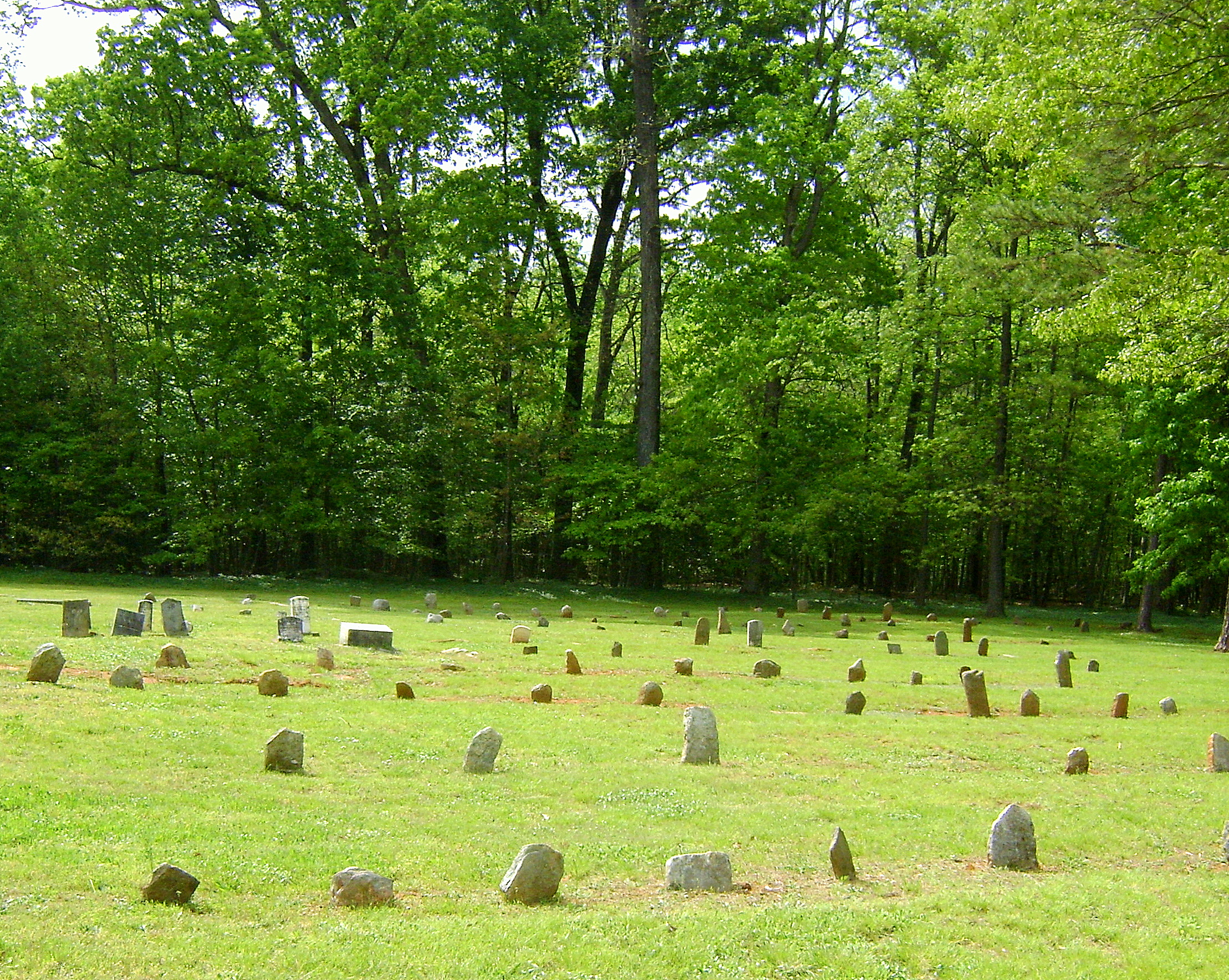
Grassy Knob Baptist Church, (1794) Iredell County
Topographic Map of Tabor Rd, Harmony, NC, USA
Find elevation by address:

Places near Tabor Rd, Harmony, NC, USA:
742 Jericho Rd
Sloans Mill Road
Olin
Union Grove
226 Tomlin Rd
Harmony
Eagle Mills
Turnersburg
1817 Sheffield Rd
114 Midway Dr
Clarksville
Calahaln
136 Morrison Rd
149 R Shore Dr
268 Jones Rd
140 Leanne Ln
1618 Angell Rd
662 Greenhill Rd
Davie County
1803 Cana Rd
Recent Searches:
- Elevation of Congressional Dr, Stevensville, MD, USA
- Elevation of Bellview Rd, McLean, VA, USA
- Elevation of Stage Island Rd, Chatham, MA, USA
- Elevation of Shibuya Scramble Crossing, 21 Udagawacho, Shibuya City, Tokyo -, Japan
- Elevation of Jadagoniai, Kaunas District Municipality, Lithuania
- Elevation of Pagonija rock, Kranto 7-oji g. 8"N, Kaunas, Lithuania
- Elevation of Co Rd 87, Jamestown, CO, USA
- Elevation of Tenjo, Cundinamarca, Colombia
- Elevation of Côte-des-Neiges, Montreal, QC H4A 3J6, Canada
- Elevation of Bobcat Dr, Helena, MT, USA