Elevation of Harmony, NC, USA
Location: United States > North Carolina > Iredell County > Turnersburg >
Longitude: -80.771734
Latitude: 35.9556911
Elevation: 300m / 984feet
Barometric Pressure: 98KPa
Elevation Map:
Satellite Map:
Related Photos:

Side View

160415-0850 Union Grove-Pano

160415-0843 Union Grove-Pano

HAYES MOTEL

yes you have... a blessed sunday to all ;-)

Cows in the buttercups in the fog of morning (HDR)

Sun setting behind an old abandon silo (HDR)

Rest Area Construction

Rest Area Construction

Late evening light (HDR)

Sunset over the Pasture (HDR)
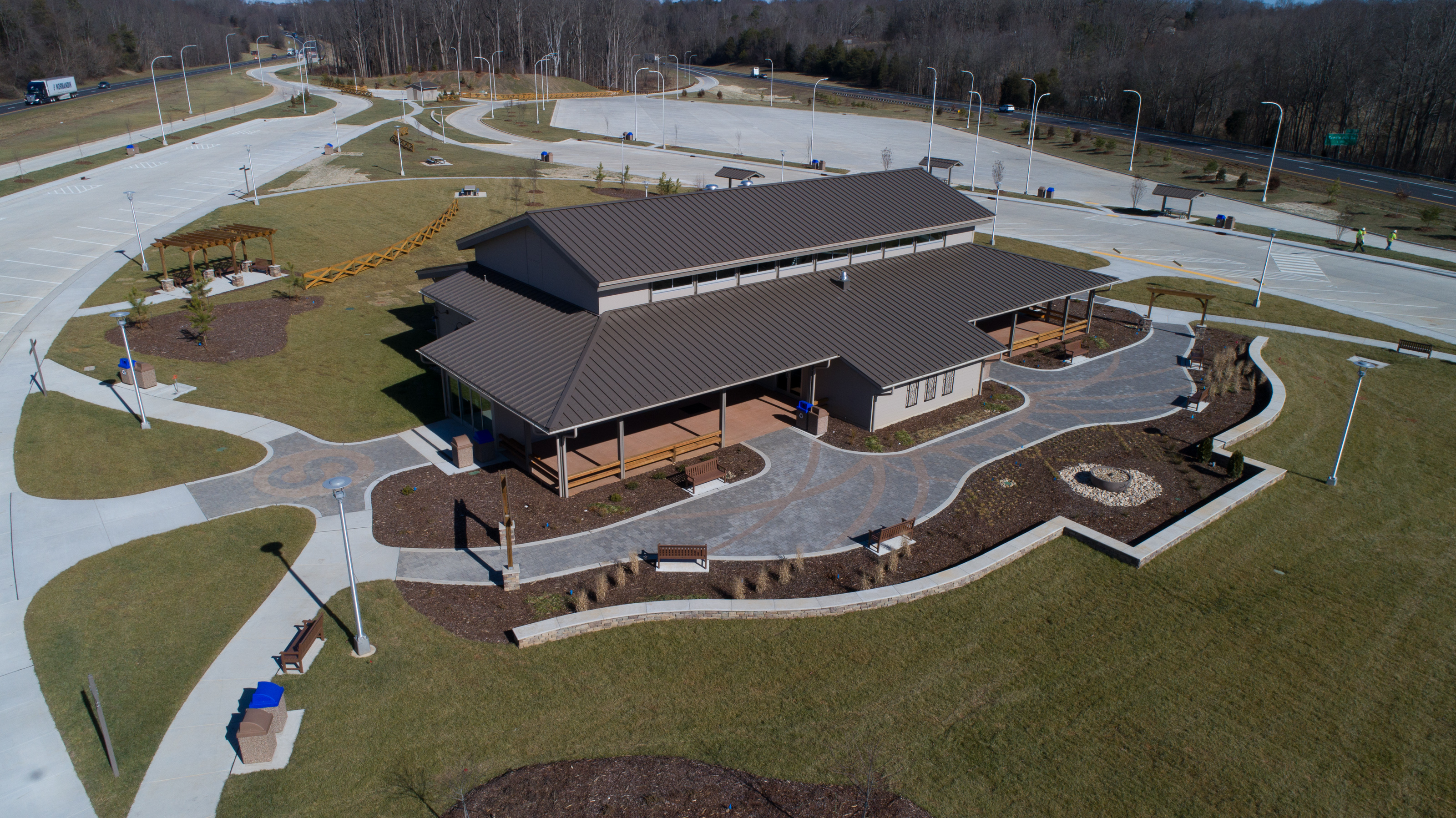
Rest Area Construction
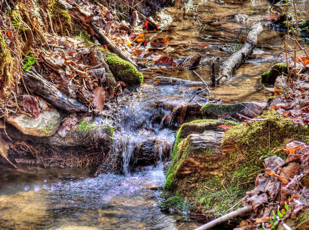
Cool Spring (HDR)

Tobacco barn in the soybean field (iPhone) (True HDR)
160415-0842 Union Grove

Mystic Pastures
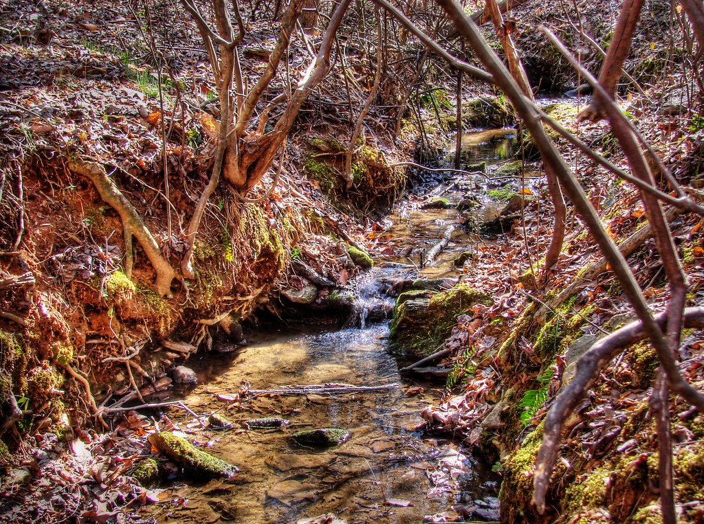
Cool Spring (HDR)

Bird on a Wire 2 (HDR)

Sunrise on Fire (HDR)

Dark & Windy Sunset (HDR)

Double rainbow and cows

Soybean field

At the Pond 3

Through the Trees

Land Lines

#chasingsunsets
Topographic Map of Harmony, NC, USA
Find elevation by address:

Places near Harmony, NC, USA:
226 Tomlin Rd
Turnersburg
Tabor Rd, Harmony, NC, USA
Eagle Mills
Olin
1817 Sheffield Rd
742 Jericho Rd
Sloans Mill Road
Union Grove
114 Midway Dr
Calahaln
Clarksville
136 Morrison Rd
268 Jones Rd
149 R Shore Dr
662 Greenhill Rd
140 Leanne Ln
1618 Angell Rd
Davie County
1803 Cana Rd
Recent Searches:
- Elevation of Congressional Dr, Stevensville, MD, USA
- Elevation of Bellview Rd, McLean, VA, USA
- Elevation of Stage Island Rd, Chatham, MA, USA
- Elevation of Shibuya Scramble Crossing, 21 Udagawacho, Shibuya City, Tokyo -, Japan
- Elevation of Jadagoniai, Kaunas District Municipality, Lithuania
- Elevation of Pagonija rock, Kranto 7-oji g. 8"N, Kaunas, Lithuania
- Elevation of Co Rd 87, Jamestown, CO, USA
- Elevation of Tenjo, Cundinamarca, Colombia
- Elevation of Côte-des-Neiges, Montreal, QC H4A 3J6, Canada
- Elevation of Bobcat Dr, Helena, MT, USA