Elevation of Angell Rd, Mocksville, NC, USA
Location: United States > North Carolina > Davie County > Mocksville > Mocksville >
Longitude: -80.588336
Latitude: 35.972745
Elevation: 248m / 814feet
Barometric Pressure: 98KPa
Elevation Map:
Satellite Map:
Related Photos:

Tanglewood - looking out over a pond
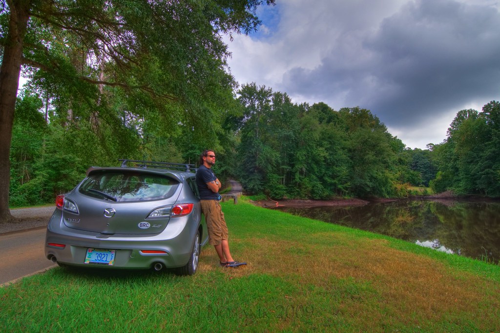
Me at Tanglewood

One last Tanglewood shot

Wedding at Cana ... of Jesus?
Westbend Vineyards

Yadkin River

Front View, Davie County Courthouse

Office view

Sun setting behind an old abandon silo (HDR)
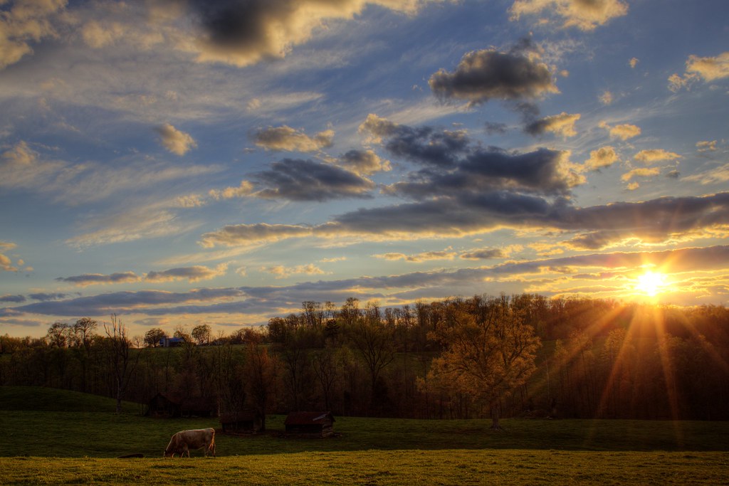
Sunset over the Pasture (HDR)

Late evening light (HDR)

Tobacco barn in the soybean field (iPhone) (True HDR)
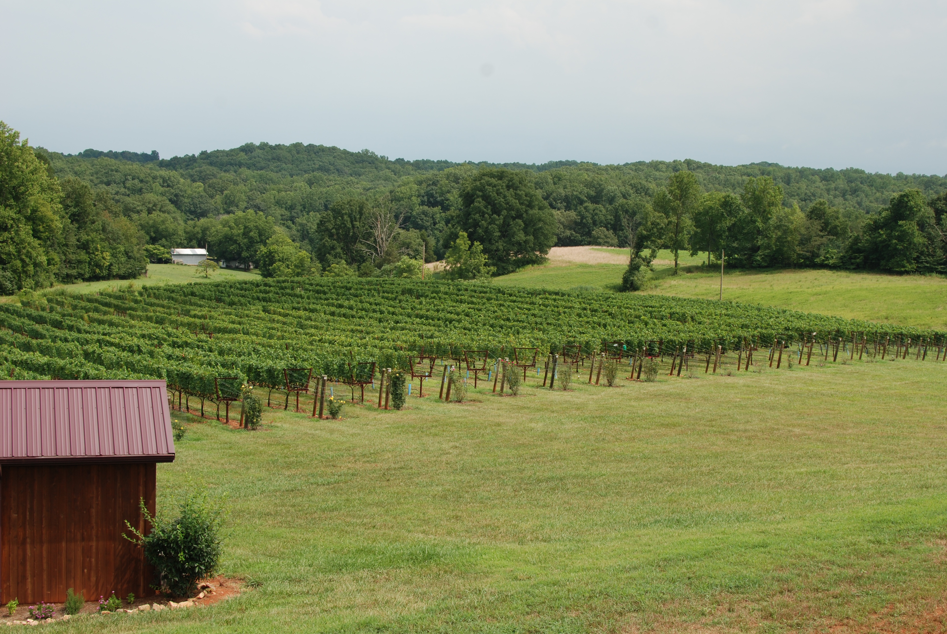
Brandon Hills Vines

Bird on a Wire 2 (HDR)

Yadkin River

Sunrise on Fire (HDR)

Dark & Windy Sunset (HDR)

Cold Deep Yadkin River

Soybean field

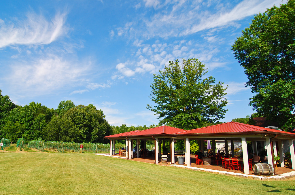
Tanglewood park

Tanglewood park

Tanglewood park

Field of Cows #iphonephotography #iphoneography #mextures #mexturesapp #rsa_mextures #enlightapp #rsa_rural #pixelpanda #rsa_landscape #cows #rural_love #rural #cowsofinstagram #layingcows #northcarolina #bovines #fieldofcows

Pilot Mountain

Barn sunrise
Topographic Map of Angell Rd, Mocksville, NC, USA
Find elevation by address:

Places near Angell Rd, Mocksville, NC, USA:
Cana Rd, Mocksville, NC, USA
1803 Cana Rd
140 Leanne Ln
Davie County
319 Farmington Rd
149 R Shore Dr
Mocksville
Farmington
Pinebrook Elementary School
Droke Cir, Mocksville, NC, USA
Hillcrest St, Mocksville, NC, USA
Clarksville
Mocksville
Calahaln
170 Birchwood Ln
662 Greenhill Rd
268 Jones Rd
1817 Sheffield Rd
136 Morrison Rd
114 Midway Dr
Recent Searches:
- Elevation of Jadagoniai, Kaunas District Municipality, Lithuania
- Elevation of Pagonija rock, Kranto 7-oji g. 8"N, Kaunas, Lithuania
- Elevation of Co Rd 87, Jamestown, CO, USA
- Elevation of Tenjo, Cundinamarca, Colombia
- Elevation of Côte-des-Neiges, Montreal, QC H4A 3J6, Canada
- Elevation of Bobcat Dr, Helena, MT, USA
- Elevation of Zu den Ihlowbergen, Althüttendorf, Germany
- Elevation of Badaber, Peshawar, Khyber Pakhtunkhwa, Pakistan
- Elevation of SE Heron Loop, Lincoln City, OR, USA
- Elevation of Slanický ostrov, 01 Námestovo, Slovakia