Elevation of Sloans Mill Road, Sloans Mill Rd, North Carolina, USA
Location: United States > North Carolina > Iredell County > Olin >
Longitude: -80.848819
Latitude: 35.9940205
Elevation: 303m / 994feet
Barometric Pressure: 98KPa
Elevation Map:
Satellite Map:
Related Photos:
yes you have... a blessed sunday to all ;-)
Side View
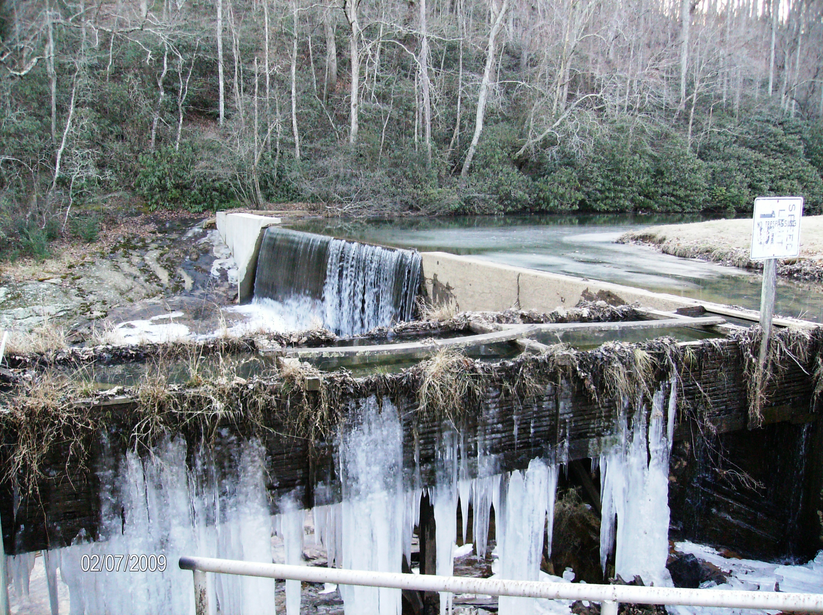
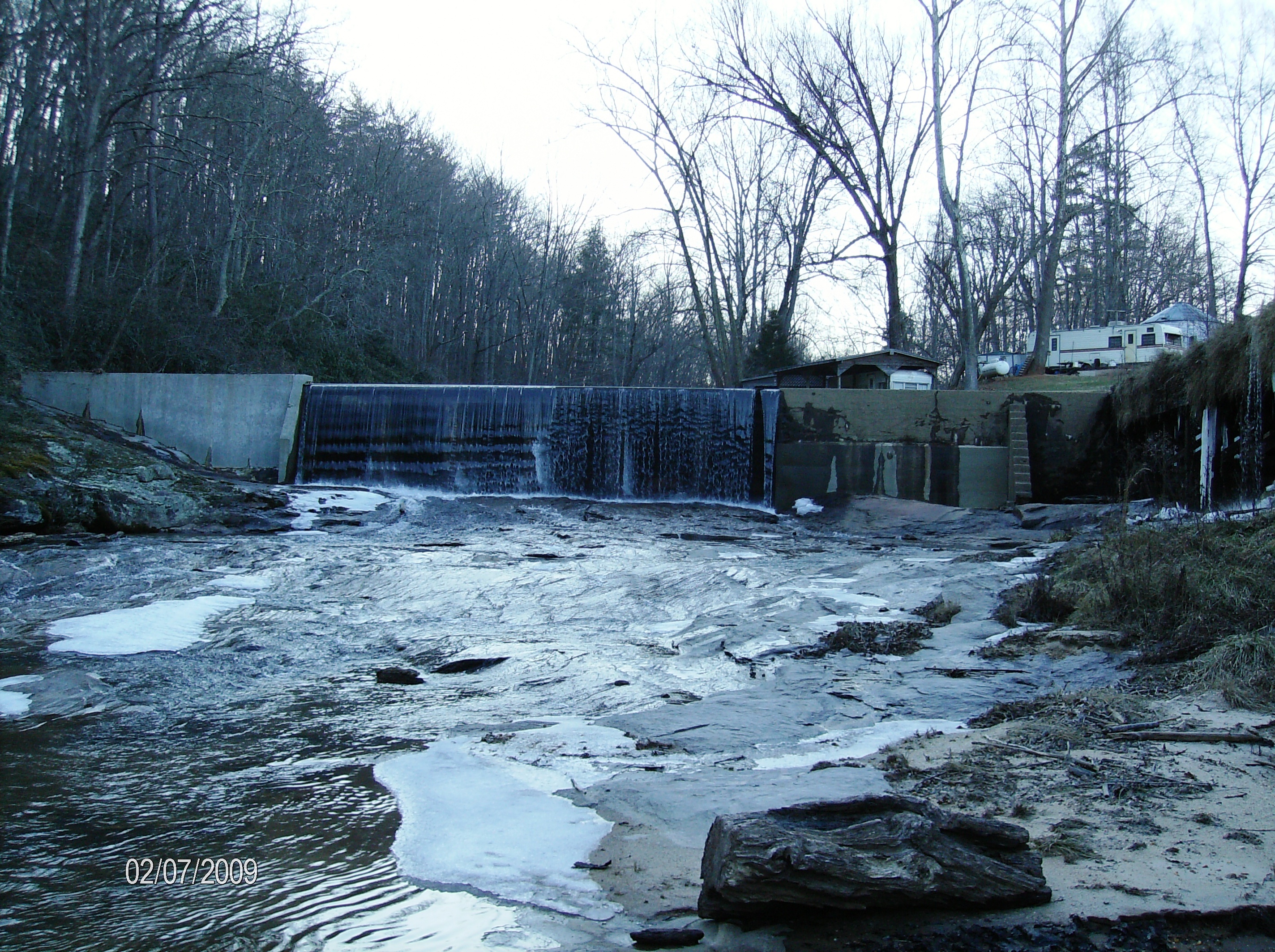
Linneys Mill Dam and Ice Alexander County

Open Sky
Linneys Mill Dam Linneys Mill Road
HAYES MOTEL
160415-0755 Hamptonville-Pano
160415-0751 Hamptonville-Pano
160415-0843 Union Grove-Pano
160415-0850 Union Grove-Pano
The Good Life
South Yadkin River, Hamptonville NC, Yadkin County
Through the Trees

South Yadkin River, Hamptonville NC, Yadkin County
South Yadkin River, Hamptonville NC, Yadkin County

#fall #sunset
South Yadkin River, Hamptonville NC, Yadkin County
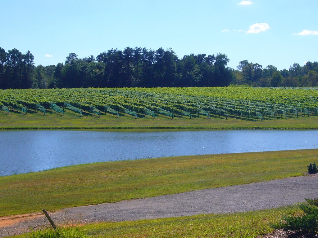
Shadow Springs Vineyard
2012-Oct-16-36-1
2012-Oct-16-47-1
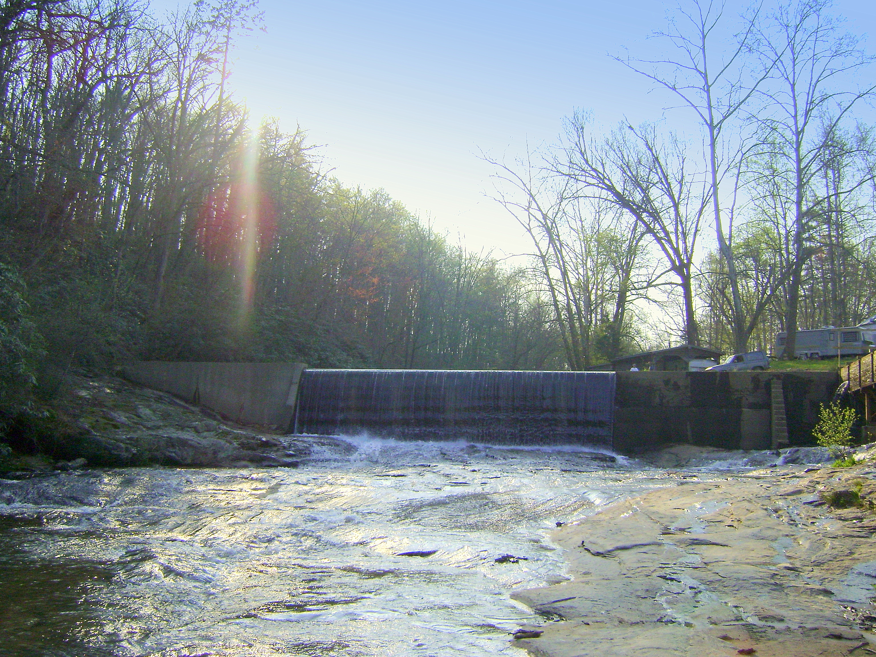
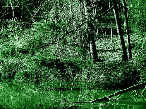
Linney's Mill, Alexander County, Rocky Creek, 1790
Linneys Mill Dam Alexander County Rocky Creek
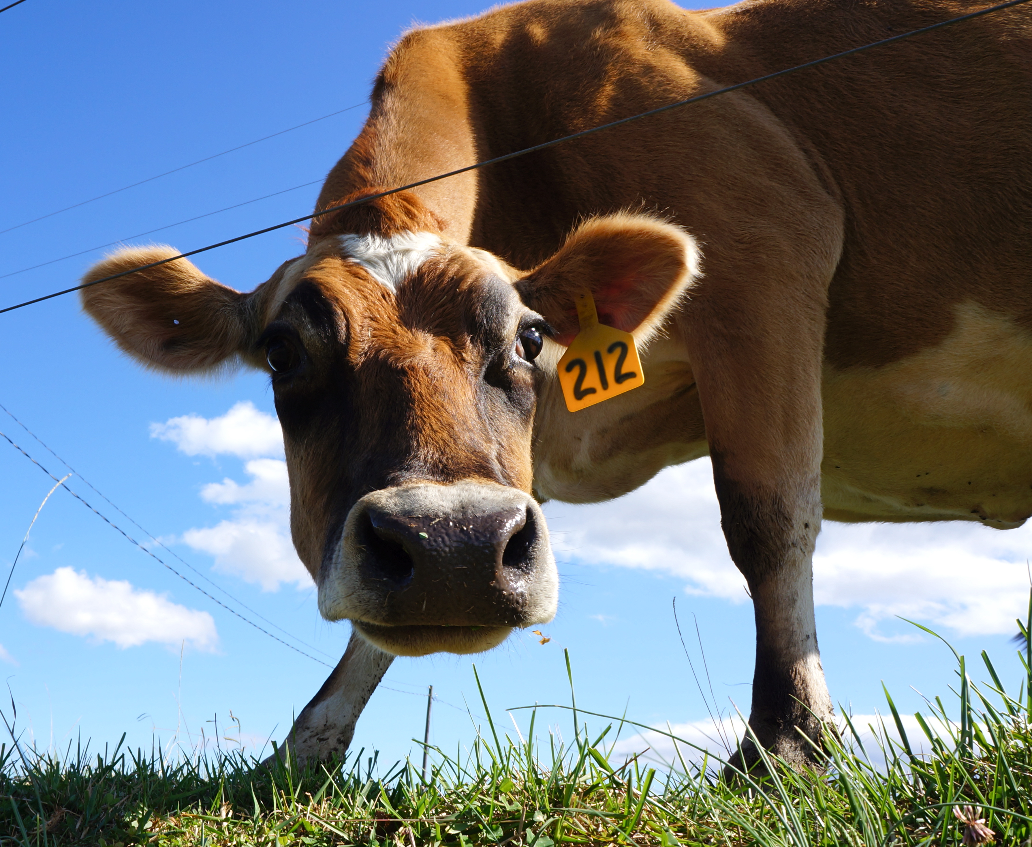
Hello! My name is 212

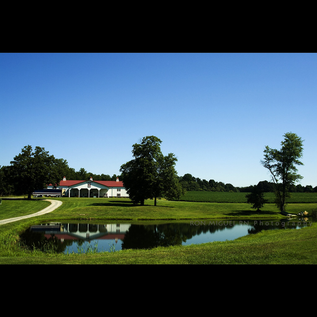
At the Pond 3

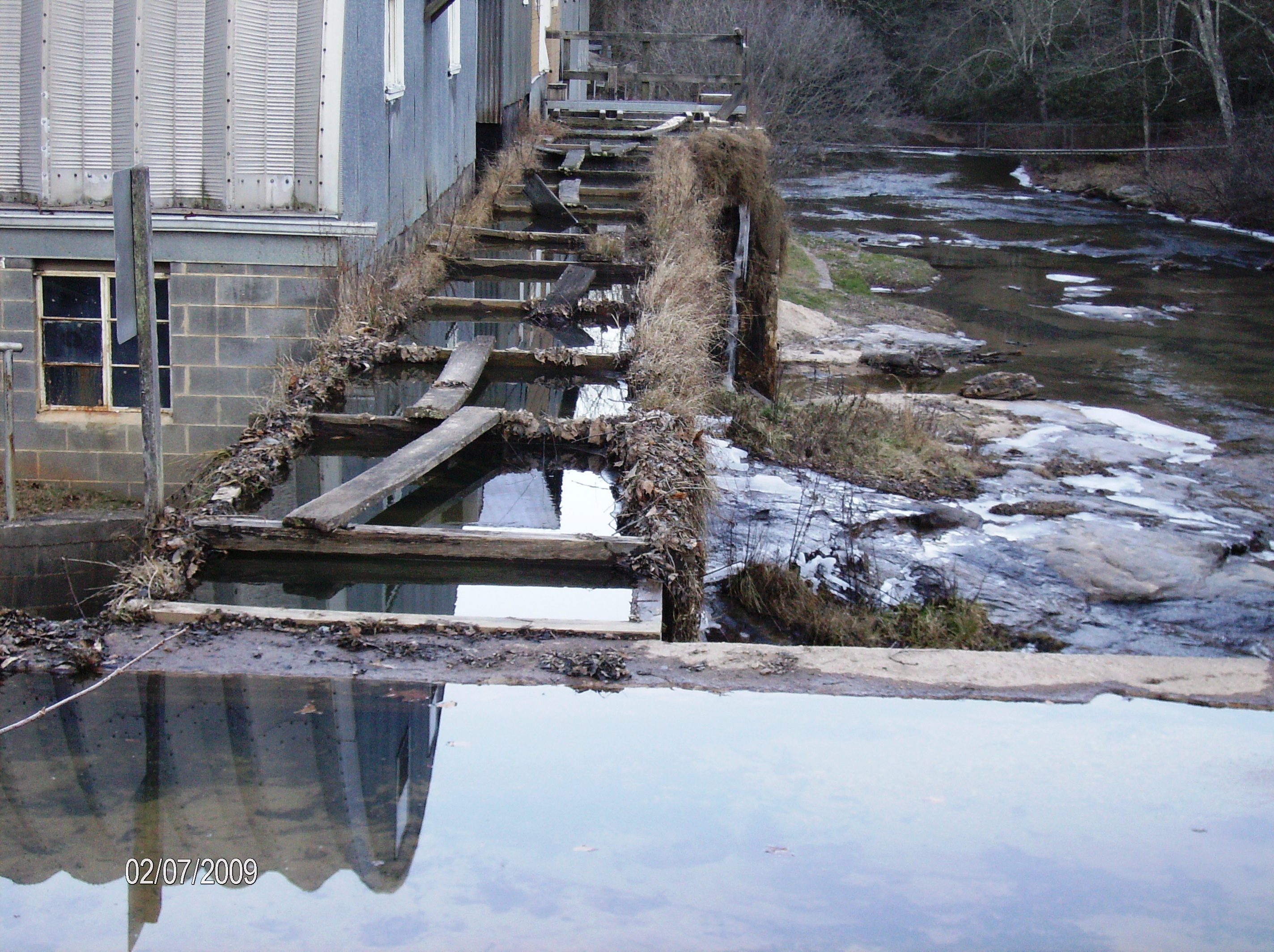
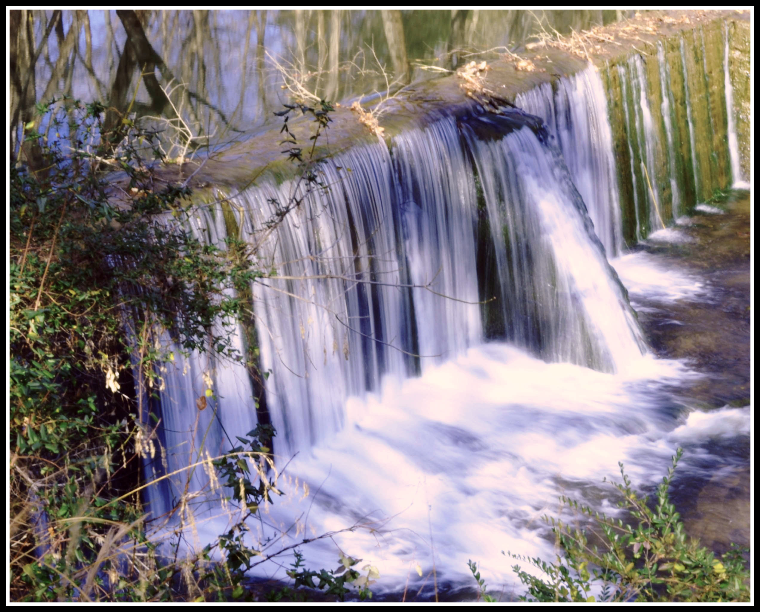
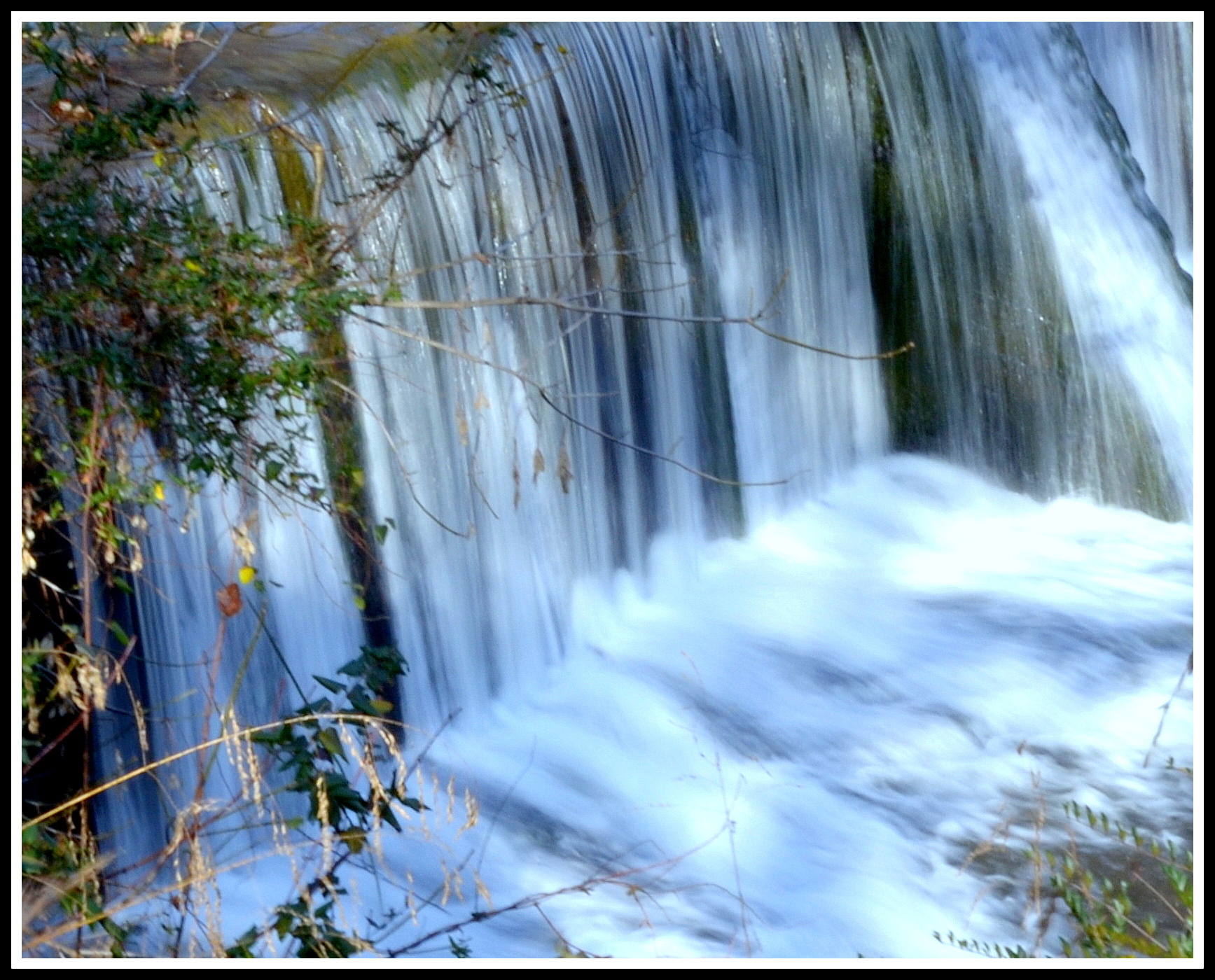
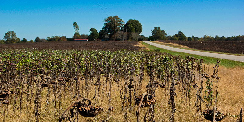
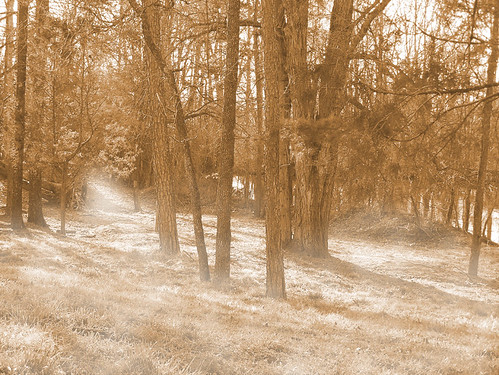
Sloan's Mill, Yadkin County, Hamptonville NC, Hunting Creek
Mystic Pastures

July 24-25-2012-61-1
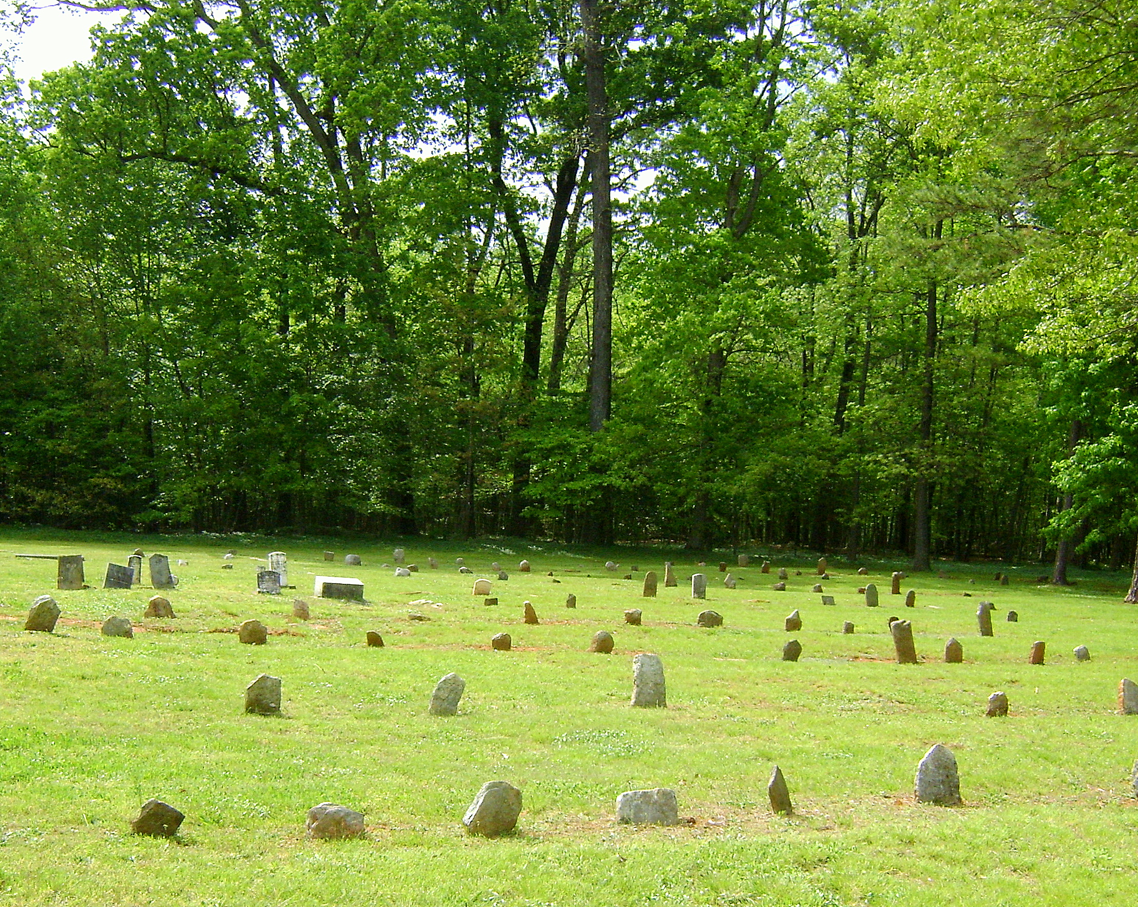
Grassy Knob Baptist Church, (1794) Iredell County
At the Pond 1

Sloan's Mill, Yadkin County, Hamptonville NC, Hunting Creek

Sloan's Mill, Yadkin County, Hamptonville NC, Hunting Creek
Topographic Map of Sloans Mill Road, Sloans Mill Rd, North Carolina, USA
Find elevation by address:

Places near Sloans Mill Road, Sloans Mill Rd, North Carolina, USA:
742 Jericho Rd
Union Grove
Tabor Rd, Harmony, NC, USA
Olin
226 Tomlin Rd
Harmony
Eagle Mills
Turnersburg
1817 Sheffield Rd
114 Midway Dr
Clarksville
Calahaln
136 Morrison Rd
149 R Shore Dr
268 Jones Rd
140 Leanne Ln
1618 Angell Rd
662 Greenhill Rd
Davie County
1803 Cana Rd
Recent Searches:
- Elevation of Elwyn Dr, Roanoke Rapids, NC, USA
- Elevation of Congressional Dr, Stevensville, MD, USA
- Elevation of Bellview Rd, McLean, VA, USA
- Elevation of Stage Island Rd, Chatham, MA, USA
- Elevation of Shibuya Scramble Crossing, 21 Udagawacho, Shibuya City, Tokyo -, Japan
- Elevation of Jadagoniai, Kaunas District Municipality, Lithuania
- Elevation of Pagonija rock, Kranto 7-oji g. 8"N, Kaunas, Lithuania
- Elevation of Co Rd 87, Jamestown, CO, USA
- Elevation of Tenjo, Cundinamarca, Colombia
- Elevation of Côte-des-Neiges, Montreal, QC H4A 3J6, Canada