Elevation of Syli Tea Garden, West Bengal, India
Location: India > West Bengal > Jalpaiguri >
Longitude: 88.6747675
Latitude: 26.9054601
Elevation: 221m / 725feet
Barometric Pressure: 99KPa
Elevation Map:
Satellite Map:
Related Photos:

CSP_4158.JPG
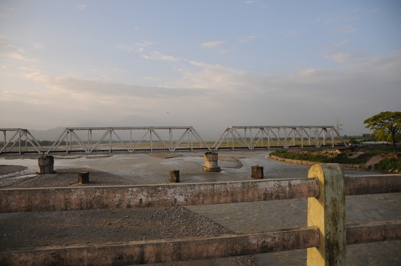
Manabari, West Bengal
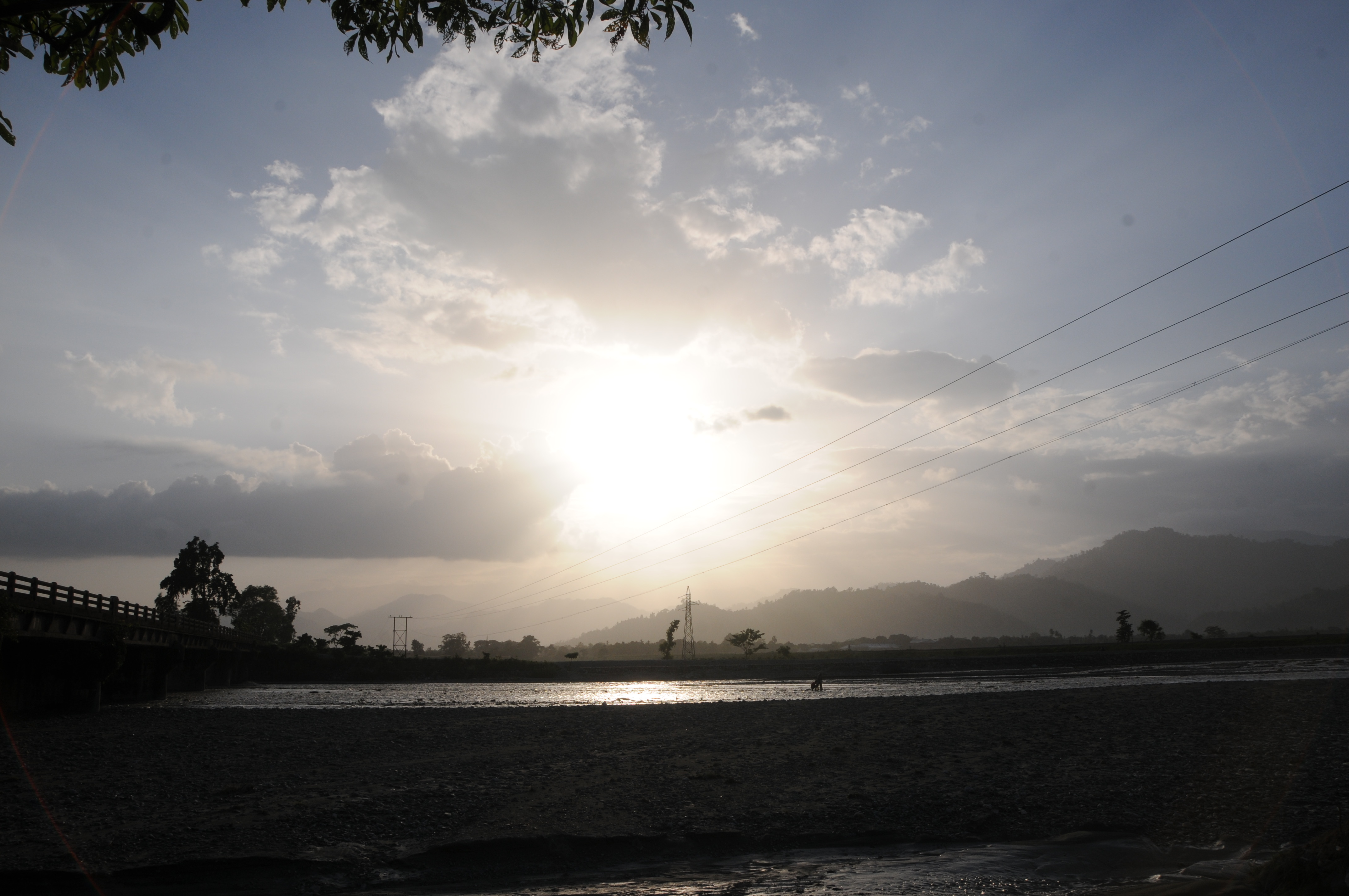
CSP_4155.JPG

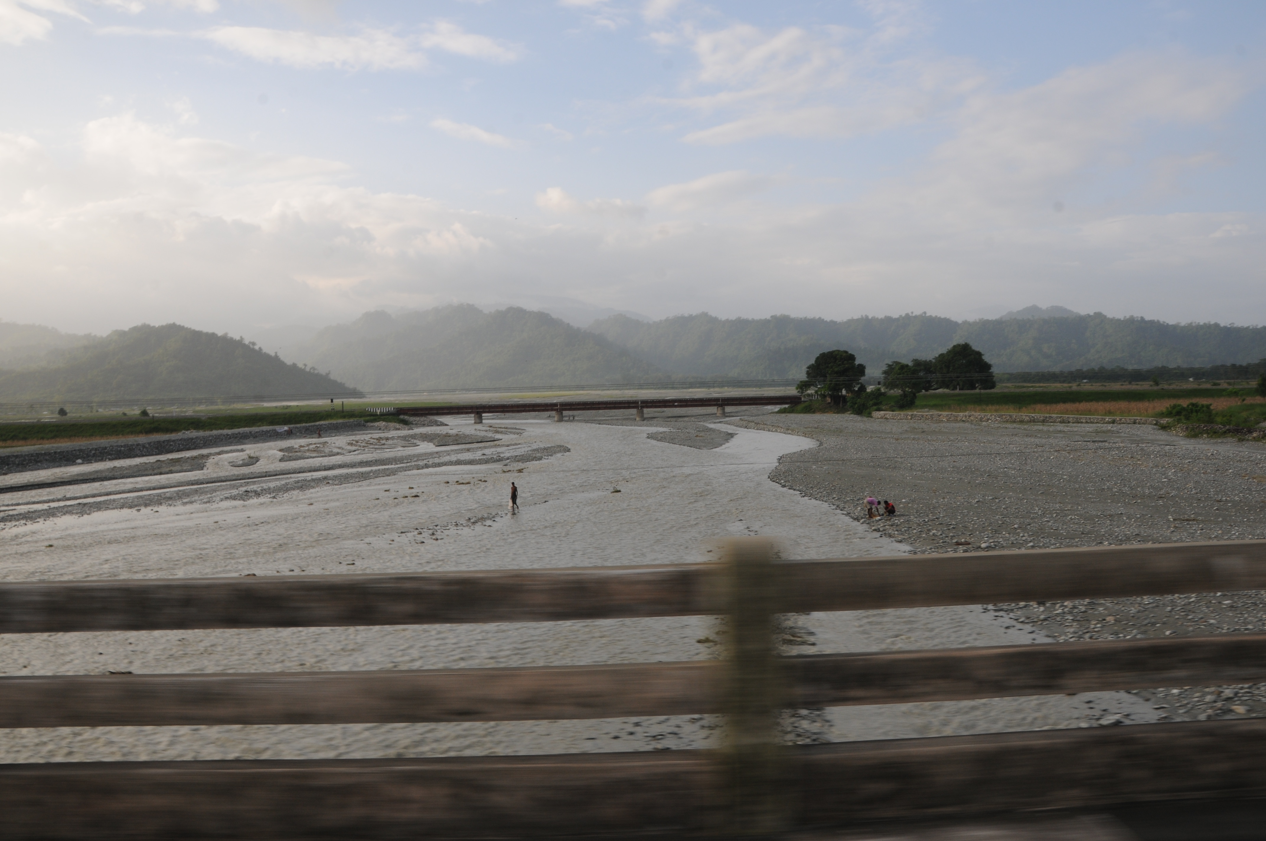
CSP_4157.JPG
CSP_4153.JPG

Darjeeling, West Bengal

Dooars_Light Art

Dooars_Tea Gardens
Nepal-India-4317
ספטמבר 9 - 17·56 - Rickshawrun4 195
Topographic Map of Syli Tea Garden, West Bengal, India
Find elevation by address:

Places near Syli Tea Garden, West Bengal, India:
Menglass Tea Garden
Meenglas Tea Garden
Lower Fagu Tea Garden
Zurrantee Primary School.
Engo Tea Garden
Aibhil Tea Garden
Aibheel Tea Garden
Matelli
Nagaisuree Tea Garden
Chalsa Tea Garden
Rango Forest
51 Cinchona Nursery, Govt. Ipecac Plantation, Rongo
Hila Tea Garden
Gairibas
Nagrakata Tea Garden
Jhalong
Hope Tea Garden
Jiti Tea Garden
Sipsu - Samtse Road
Recent Searches:
- Elevation of 24 Oakland Rd #, Scotland, ON N0E 1R0, Canada
- Elevation of Deep Gap Farm Rd E, Mill Spring, NC, USA
- Elevation of Dog Leg Dr, Minden, NV, USA
- Elevation of Dog Leg Dr, Minden, NV, USA
- Elevation of Kambingan Sa Pansol Atbp., Purok 7 Pansol, Candaba, Pampanga, Philippines
- Elevation of Pinewood Dr, New Bern, NC, USA
- Elevation of Mountain View, CA, USA
- Elevation of Foligno, Province of Perugia, Italy
- Elevation of Blauwestad, Netherlands
- Elevation of Bella Terra Blvd, Estero, FL, USA