Elevation of 51 Cinchona Nursery, Govt. Ipecac Plantation, Rongo, Rango Forest, West Bengal, India
Location: India > West Bengal > Darjeeling > Rango Forest >
Longitude: 88.8288265
Latitude: 27.0478232
Elevation: 1131m / 3711feet
Barometric Pressure: 88KPa
Elevation Map:
Satellite Map:
Related Photos:
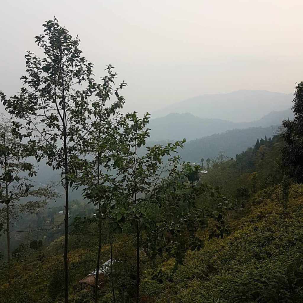
View from our cottage #mountains #foggy #morning
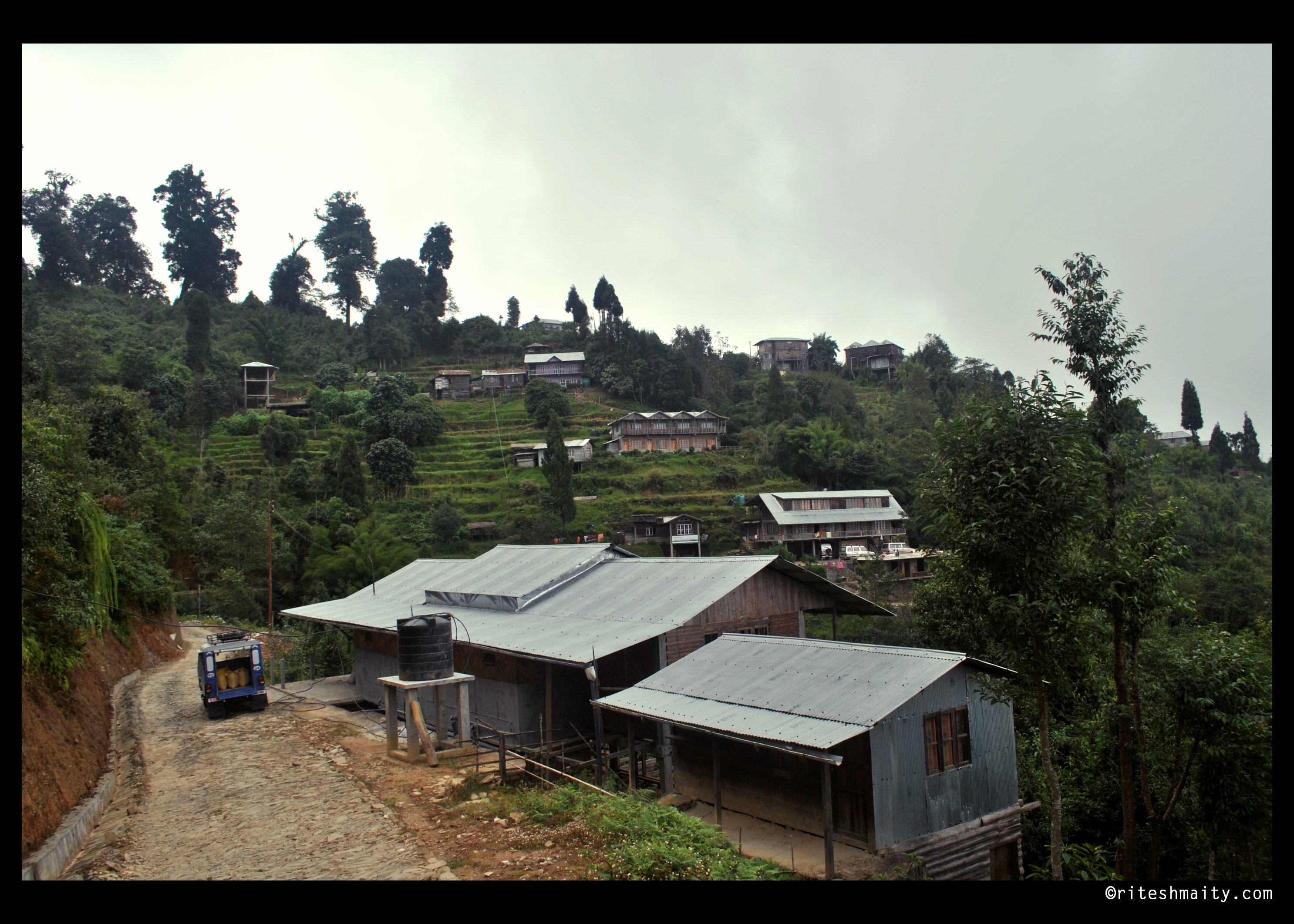
Rishop | West Bengal
Blue and glow
Dooars_Bhutan Himalayas

Dooars_Tea Gardens

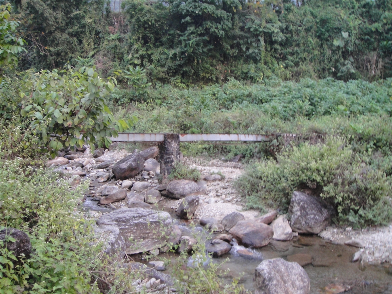
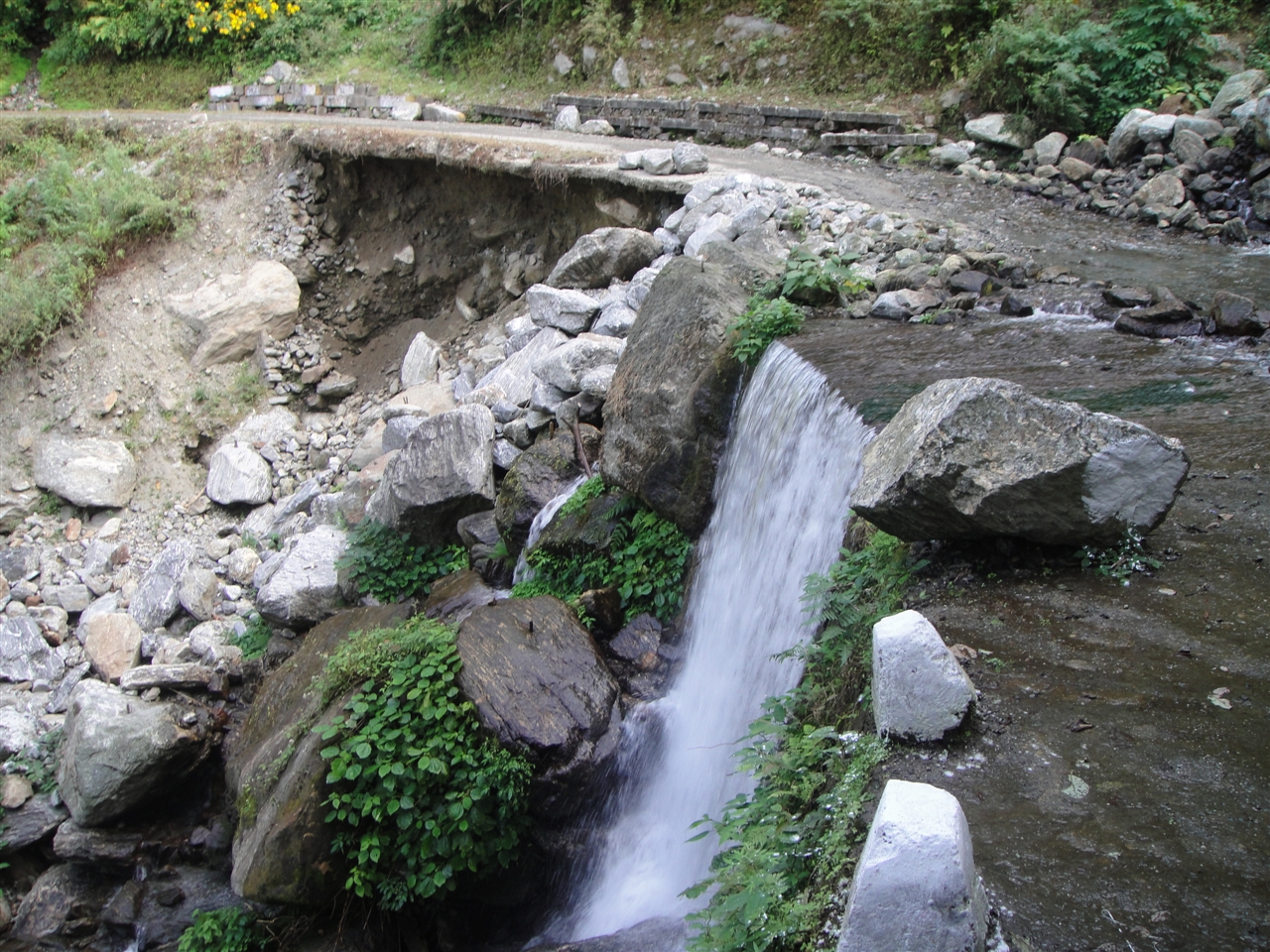
Bolder zone...

2014-12-20_11-02-32

Cut off
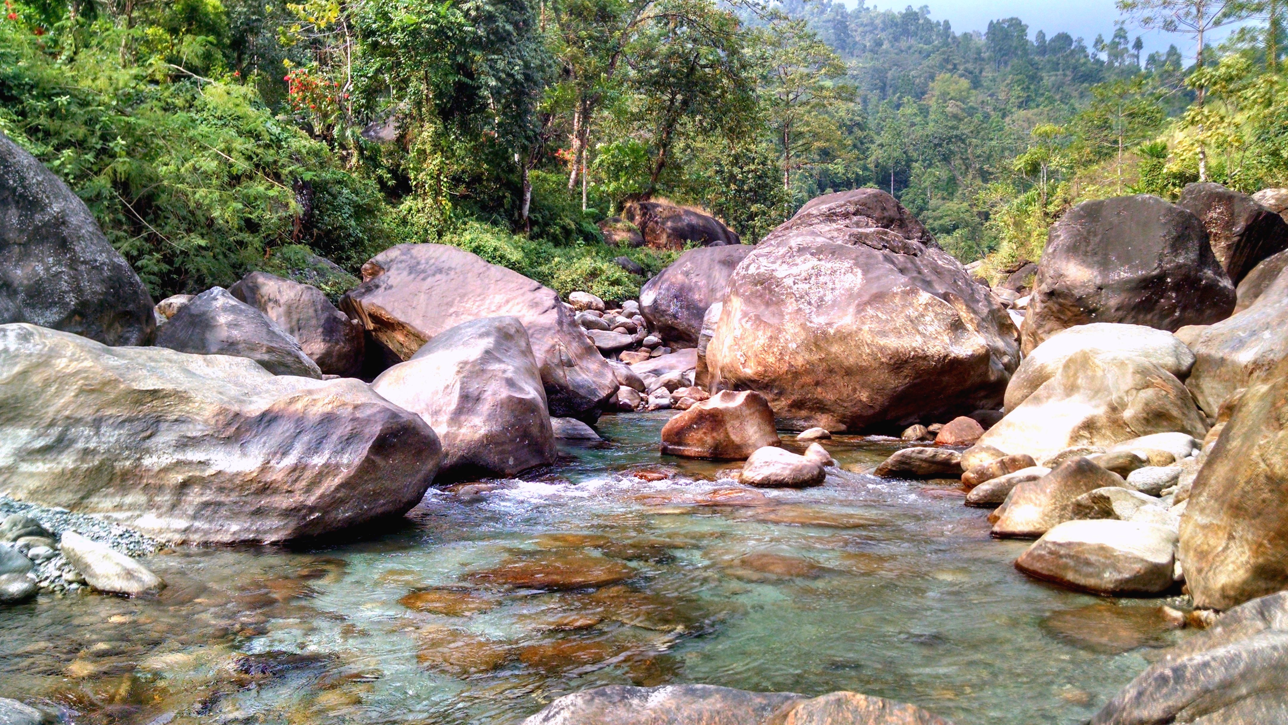
18. Lower Gatia.JPG
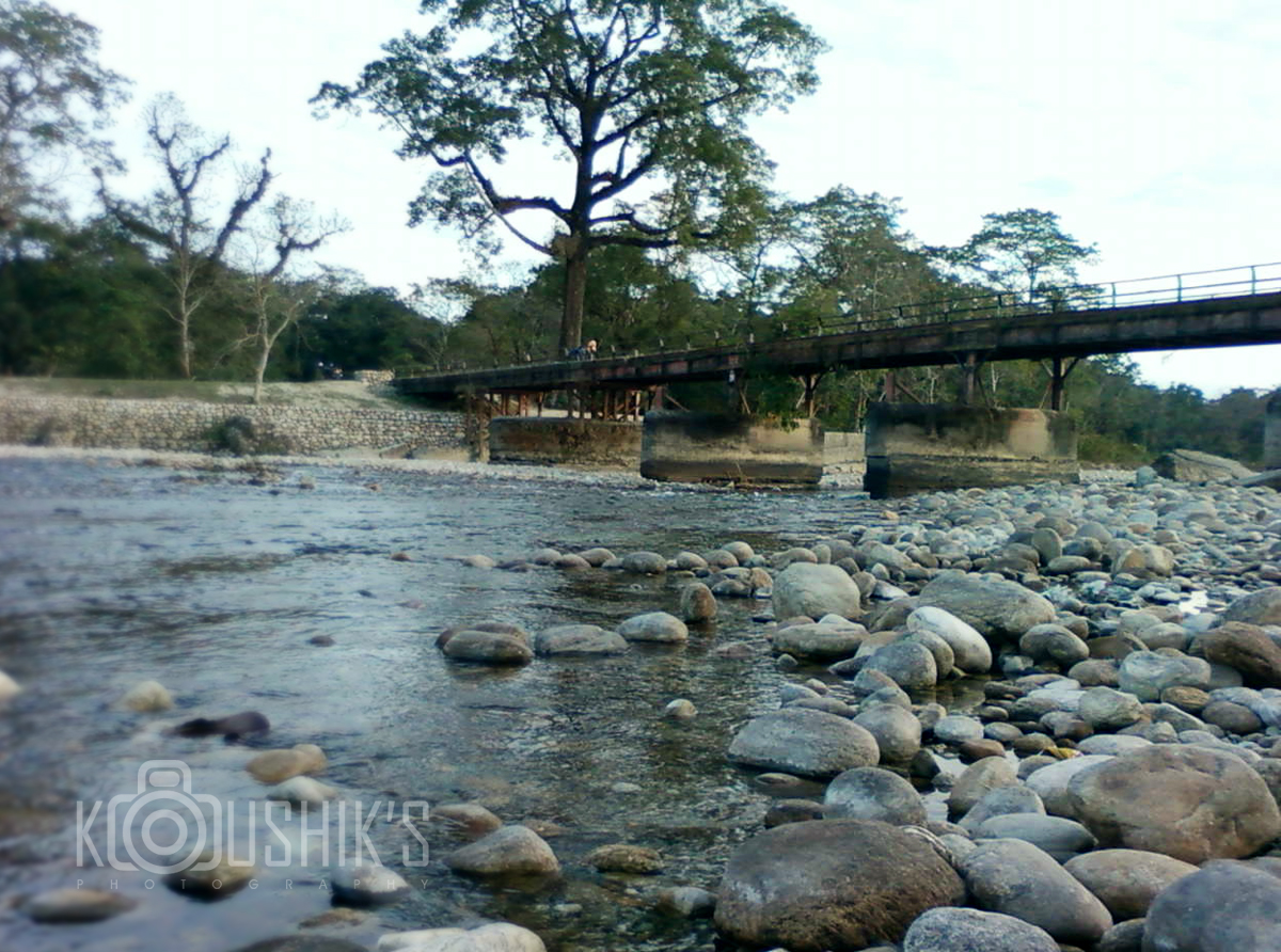
Murti river...
2014-12-20_09-28-36
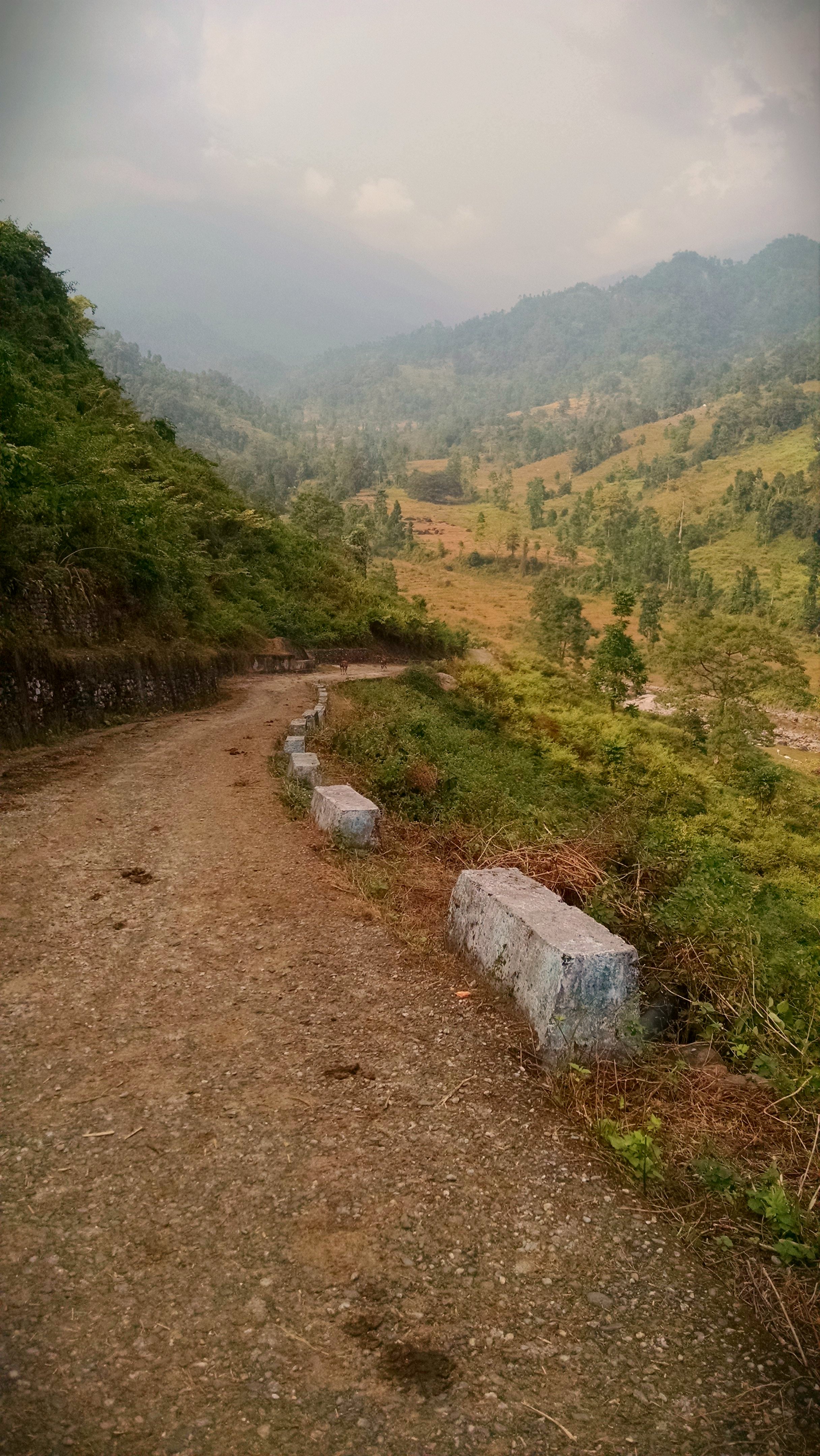
2014-12-20_11-08-26
1. PakpayJumsa.JPG
Topographic Map of 51 Cinchona Nursery, Govt. Ipecac Plantation, Rongo, Rango Forest, West Bengal, India
Find elevation by address:

Places near 51 Cinchona Nursery, Govt. Ipecac Plantation, Rongo, Rango Forest, West Bengal, India:
Rango Forest
Gairibas
Jhalong
Chalsa Tea Garden
Engo Tea Garden
Sipsu - Samtse Road
Matelli
Nagaisuree Tea Garden
Hila Tea Garden
Jiti Tea Garden
Zurrantee Primary School.
Hope Tea Garden
Aibheel Tea Garden
Aibhil Tea Garden
Lower Fagu Tea Garden
Nagrakata Tea Garden
Meenglas Tea Garden
Menglass Tea Garden
Syli Tea Garden
Recent Searches:
- Elevation of 24 Oakland Rd #, Scotland, ON N0E 1R0, Canada
- Elevation of Deep Gap Farm Rd E, Mill Spring, NC, USA
- Elevation of Dog Leg Dr, Minden, NV, USA
- Elevation of Dog Leg Dr, Minden, NV, USA
- Elevation of Kambingan Sa Pansol Atbp., Purok 7 Pansol, Candaba, Pampanga, Philippines
- Elevation of Pinewood Dr, New Bern, NC, USA
- Elevation of Mountain View, CA, USA
- Elevation of Foligno, Province of Perugia, Italy
- Elevation of Blauwestad, Netherlands
- Elevation of Bella Terra Blvd, Estero, FL, USA