Elevation of Engo Tea Garden, West Bengal, India
Location: India > West Bengal > Jalpaiguri >
Longitude: 88.7614248
Latitude: 26.9592273
Elevation: 328m / 1076feet
Barometric Pressure: 97KPa
Elevation Map:
Satellite Map:
Related Photos:
Rishop | West Bengal

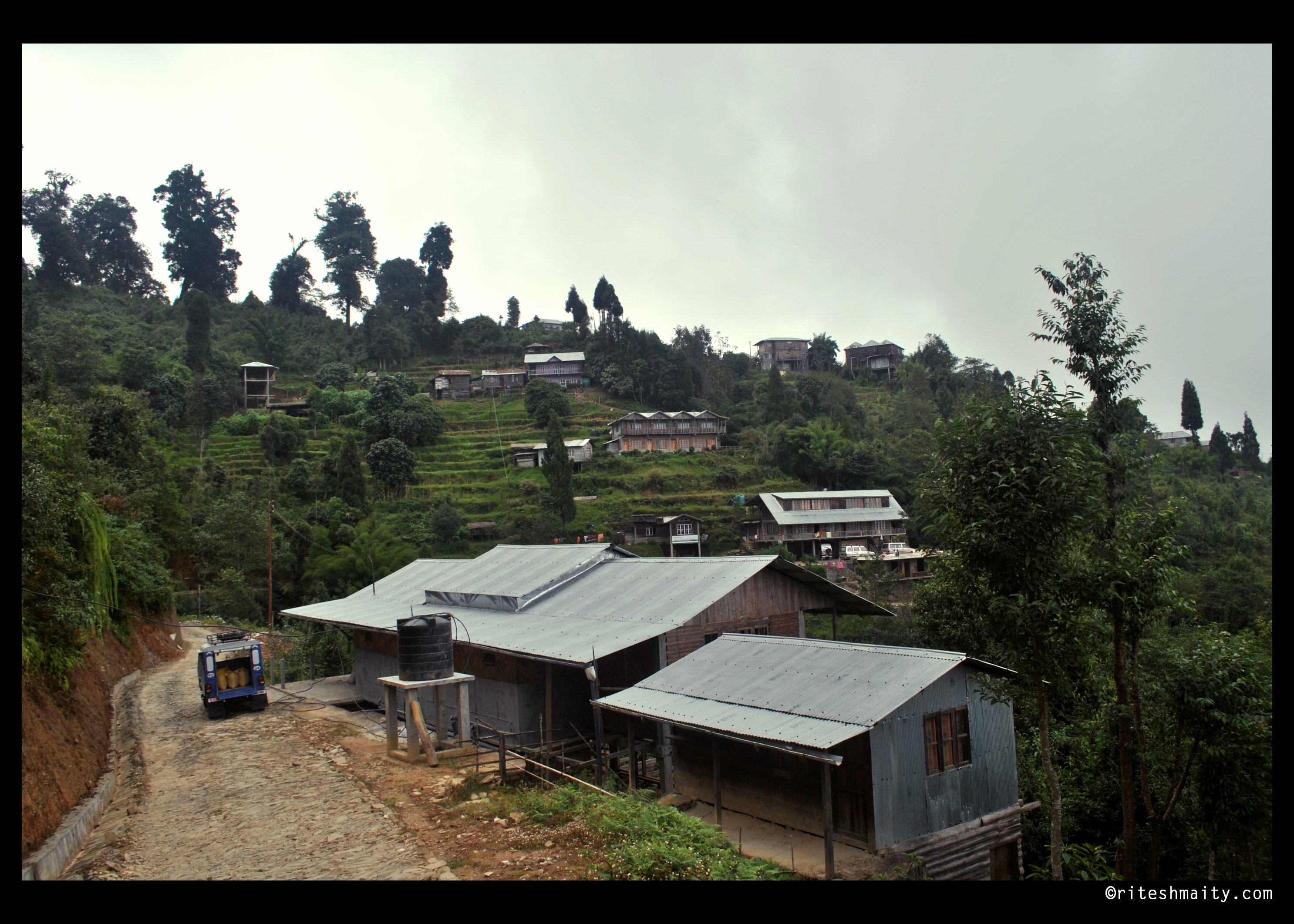
Dooars_Tea Gardens

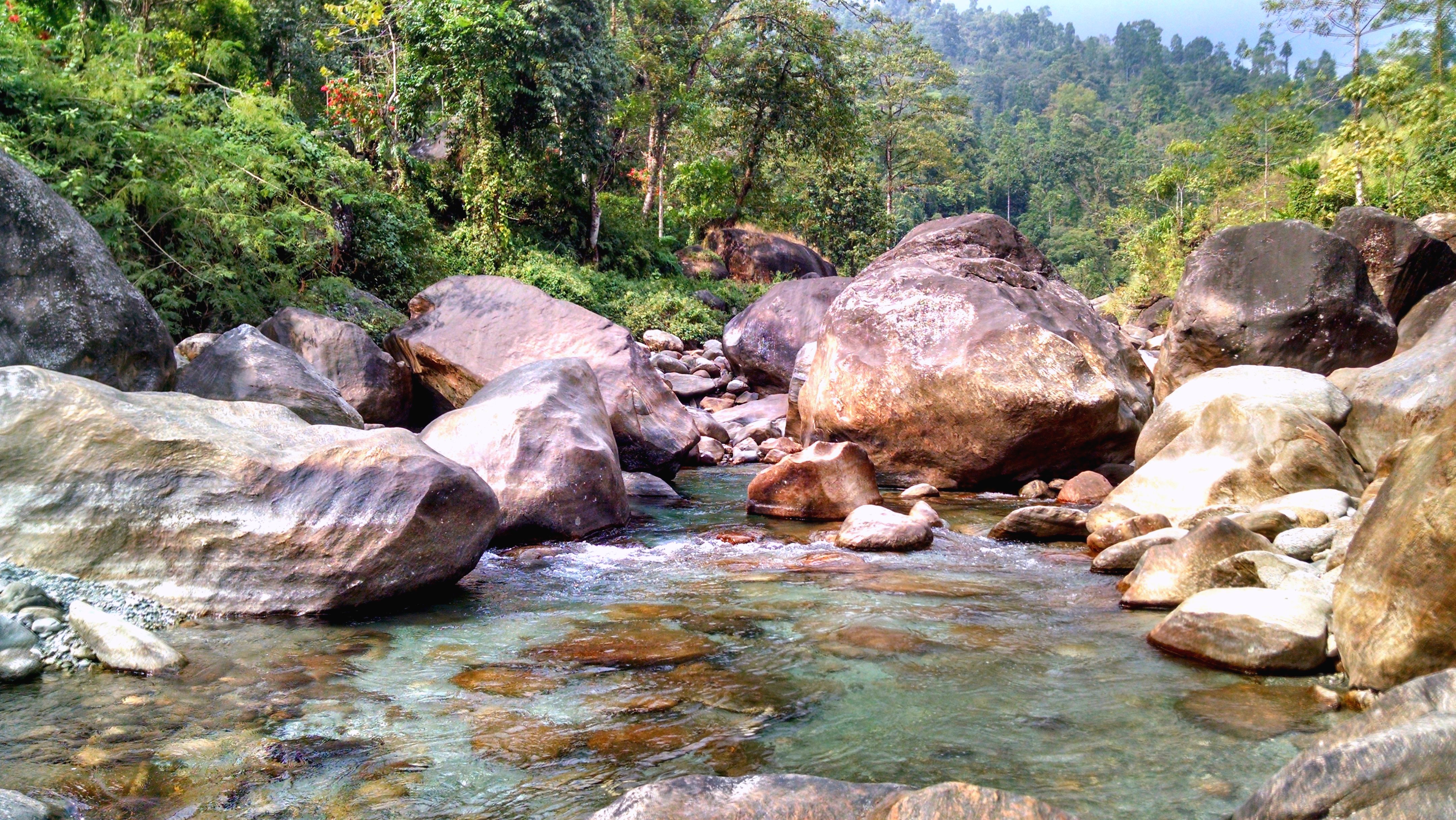
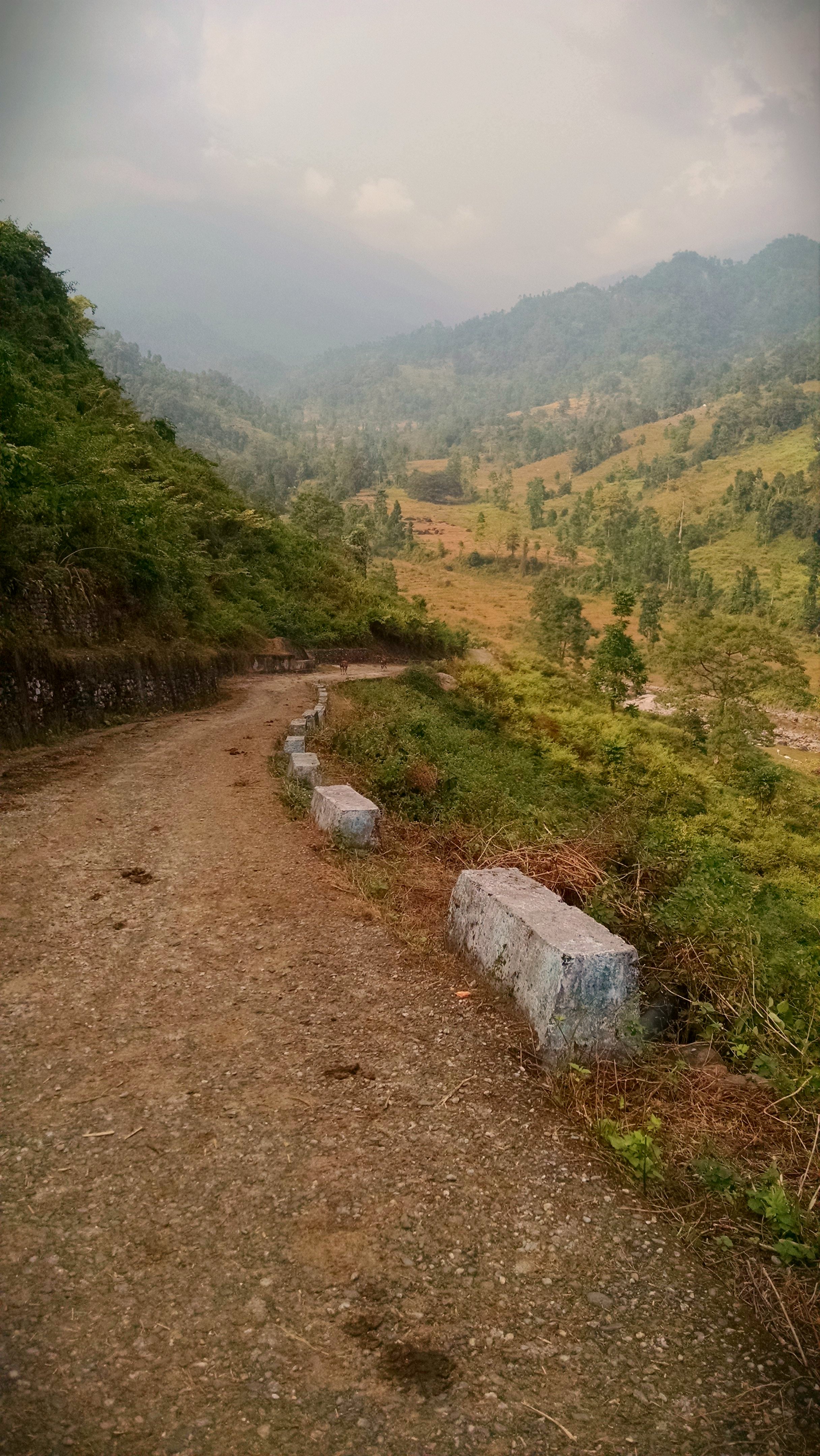
Bolder zone...

2014-12-20_11-02-32
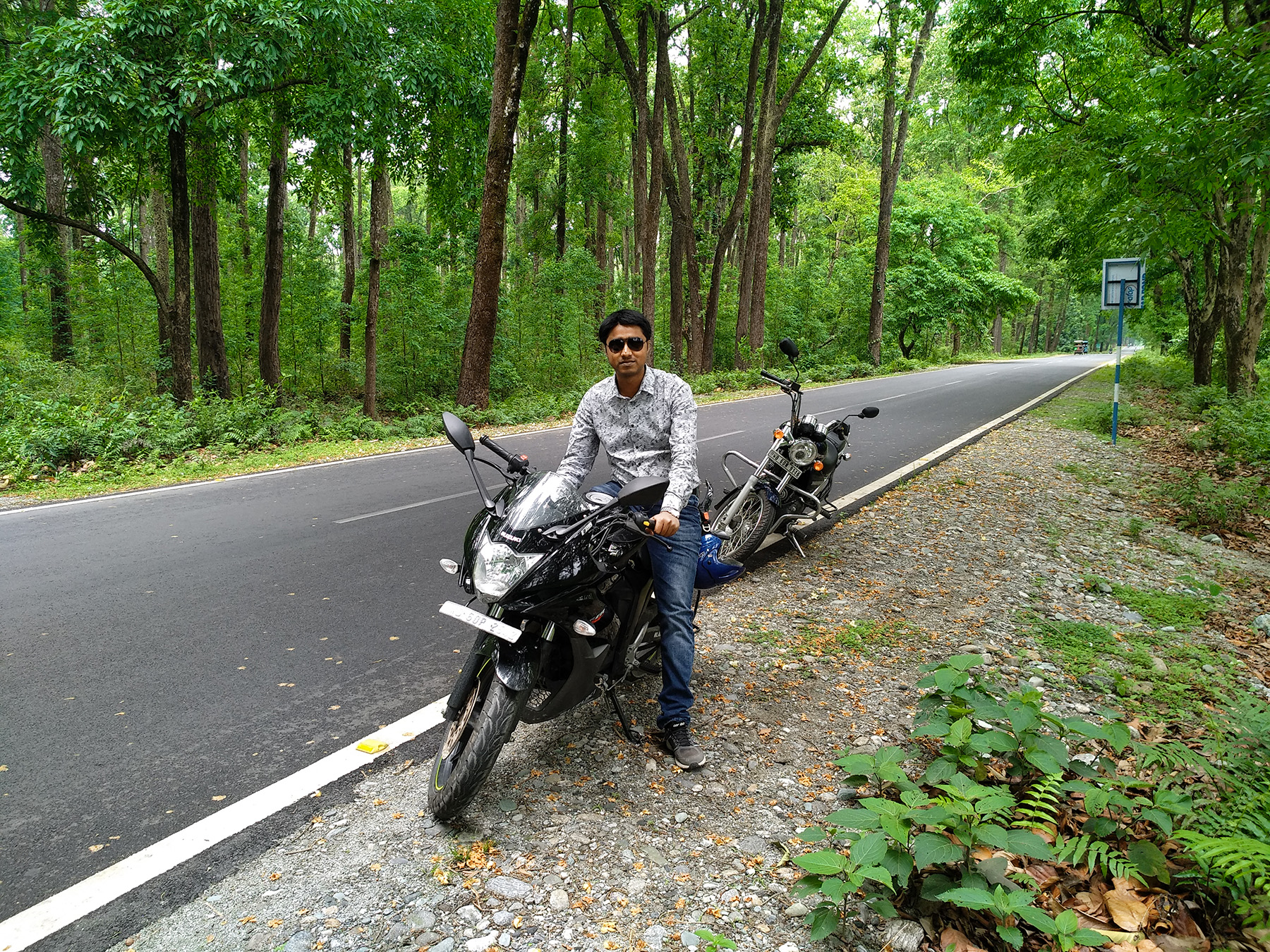
Nepal-India-4317
2014-12-20_11-08-26
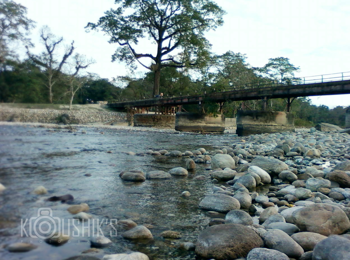
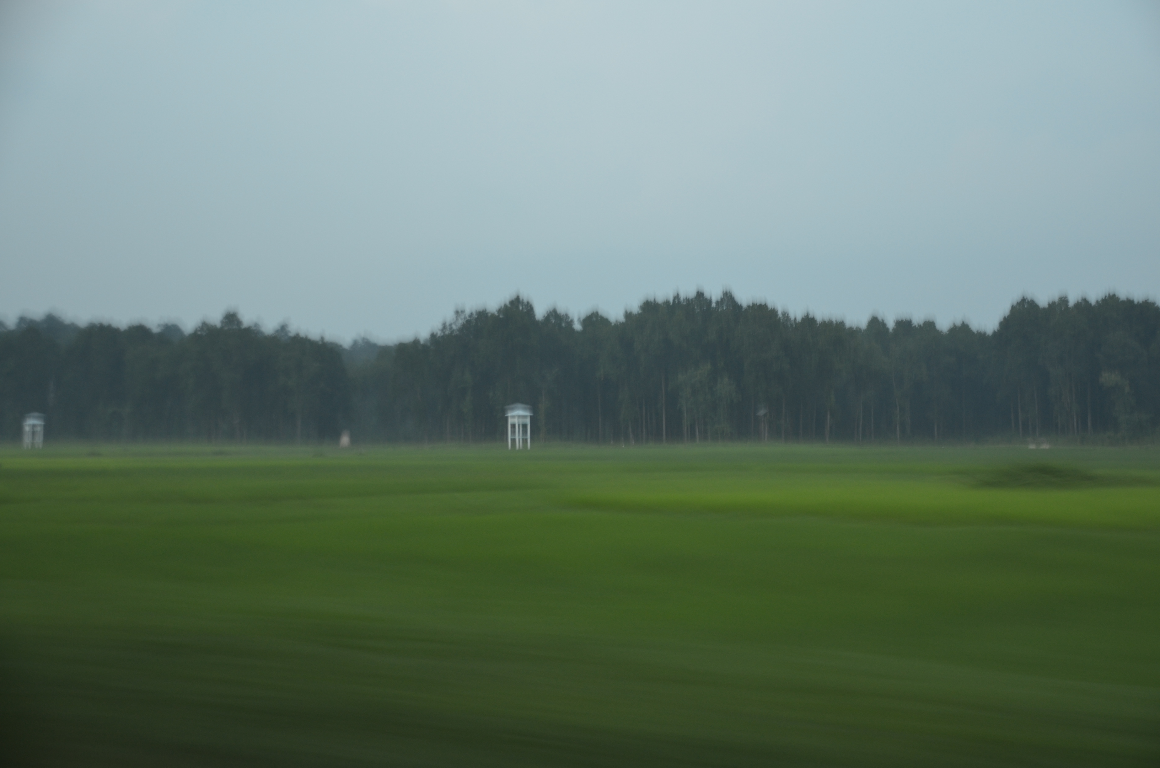
Murti river...
2014-12-20_09-28-36
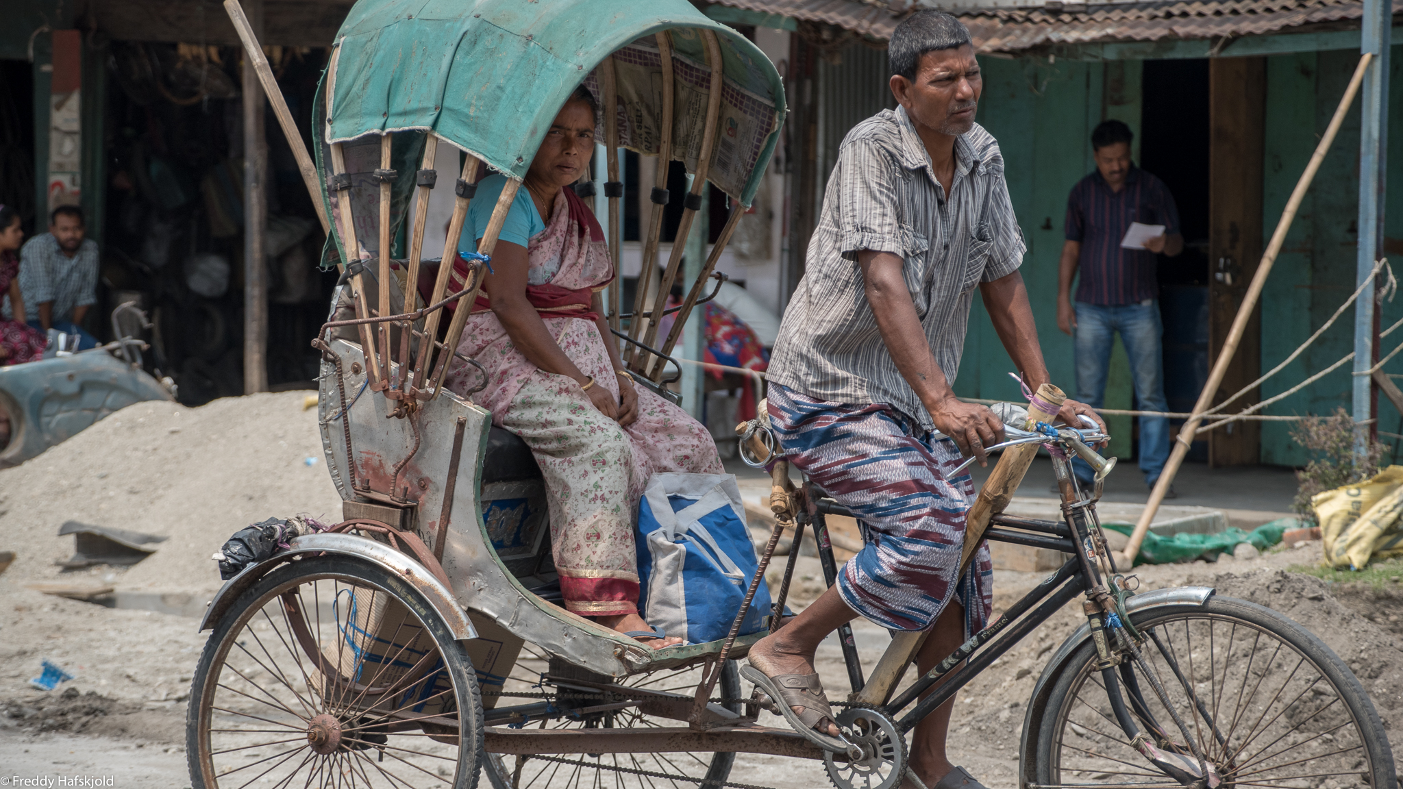
ספטמבר 9 - 17·56 - Rickshawrun4 195
Mobile Photo Malbazar (50)

ספטמבר 9 - 17·48 - Rickshawrun4 193

A Class at the Monastery
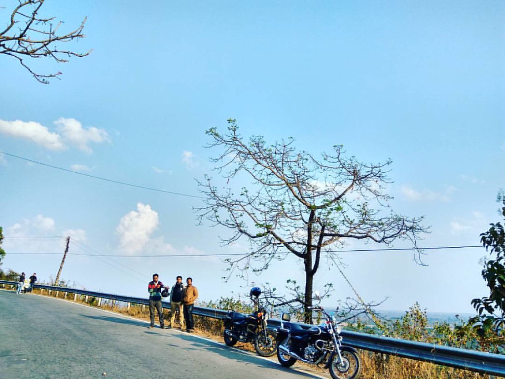
#northbengaldiaries #AvengerDiaries #RoadLife #BeautifulBengal #igbikers #wanderlust #live2wander #follow4follow #like4like

Let them say "it's too risky to ride" and be at home. A ride not only take you places, it let you feel the real essence of that place. And then the sheer joy you get is next to nothing... #northbengaldiaries #darjeelingdiary #Helmetstories #AvengerDiar

D_India-150

D_India-151
D_India-153

পাহাড়ের বাঁকে

2014-12-20_11-15-41
2014-12-20_11-10-48
2014-12-20_11-09-57

2014-12-20_11-05-01

2014-12-20_10-58-08
Topographic Map of Engo Tea Garden, West Bengal, India
Find elevation by address:

Places near Engo Tea Garden, West Bengal, India:
Zurrantee Primary School.
Lower Fagu Tea Garden
Matelli
Nagaisuree Tea Garden
Aibheel Tea Garden
Aibhil Tea Garden
Meenglas Tea Garden
Chalsa Tea Garden
Menglass Tea Garden
Syli Tea Garden
Rango Forest
51 Cinchona Nursery, Govt. Ipecac Plantation, Rongo
Gairibas
Hila Tea Garden
Jhalong
Nagrakata Tea Garden
Hope Tea Garden
Jiti Tea Garden
Sipsu - Samtse Road
Recent Searches:
- Elevation of Erika Dr, Windsor, CA, USA
- Elevation of Village Ln, Finleyville, PA, USA
- Elevation of 24 Oakland Rd #, Scotland, ON N0E 1R0, Canada
- Elevation of Deep Gap Farm Rd E, Mill Spring, NC, USA
- Elevation of Dog Leg Dr, Minden, NV, USA
- Elevation of Dog Leg Dr, Minden, NV, USA
- Elevation of Kambingan Sa Pansol Atbp., Purok 7 Pansol, Candaba, Pampanga, Philippines
- Elevation of Pinewood Dr, New Bern, NC, USA
- Elevation of Mountain View, CA, USA
- Elevation of Foligno, Province of Perugia, Italy