Elevation of Suzanne Ave, Bluefield, VA, USA
Location: United States > Virginia > Tazewell County > Northern >
Longitude: -81.443125
Latitude: 37.2448209
Elevation: 876m / 2874feet
Barometric Pressure: 91KPa
Elevation Map:
Satellite Map:
Related Photos:
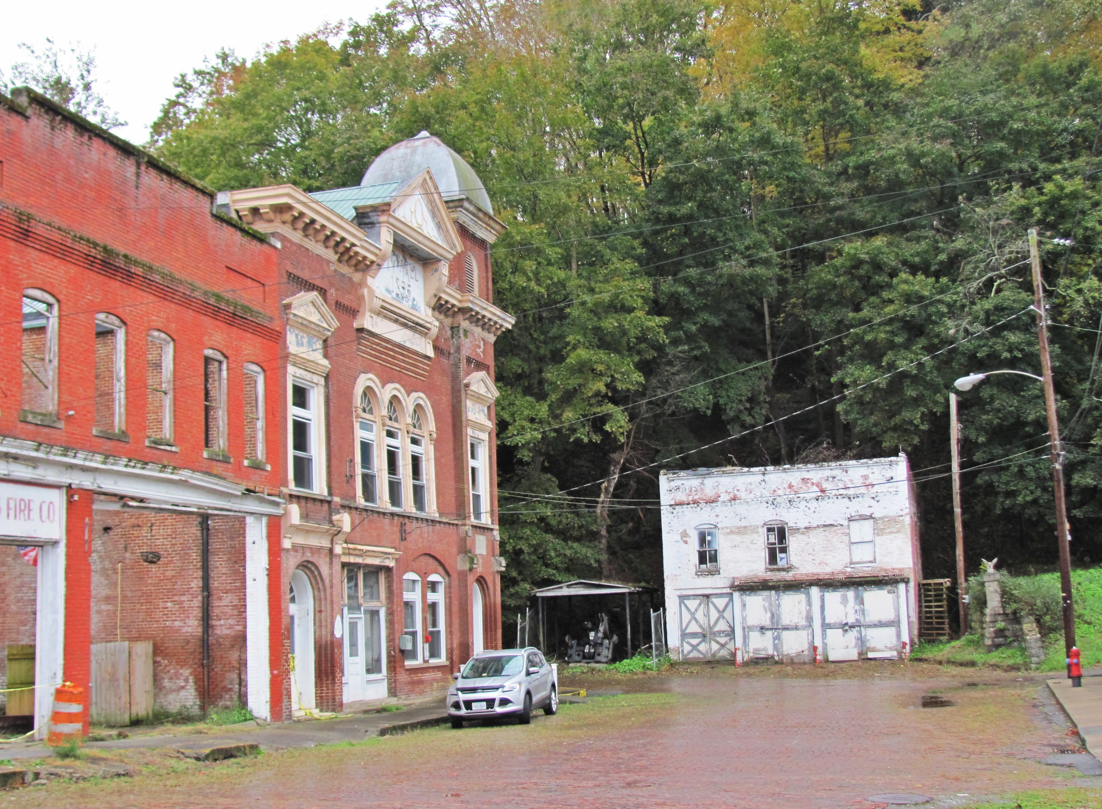
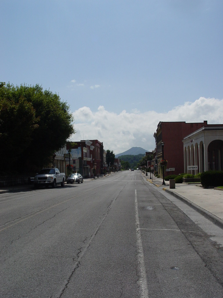
A View down West Saint Claire Street, Pocahontas, Virginia
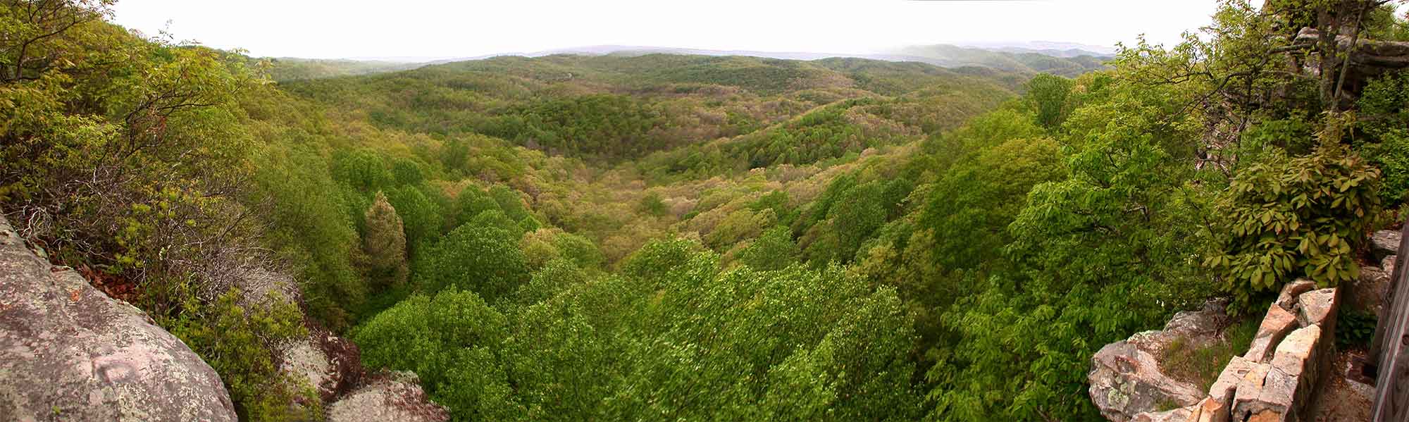
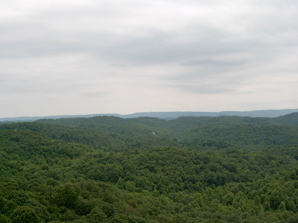
View from Pinnacle Rock

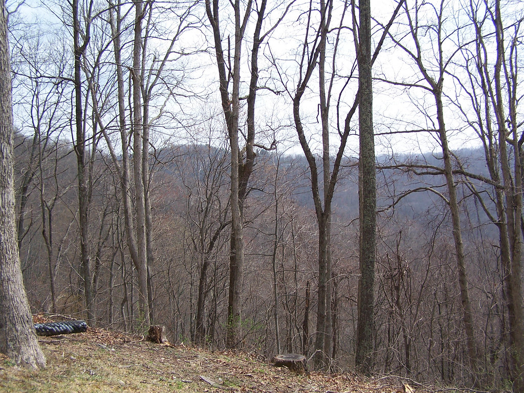
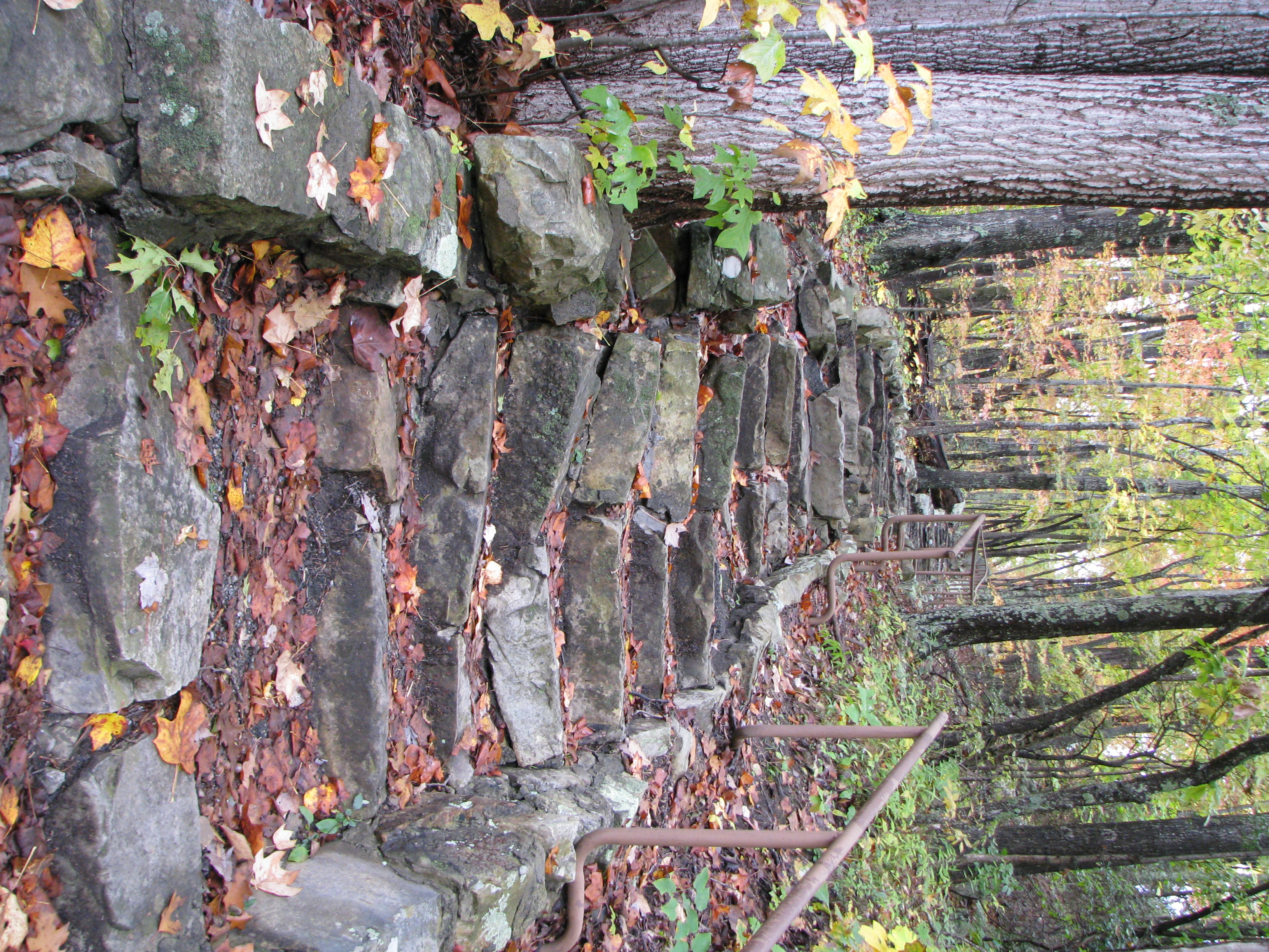
A Mountain In Tazewell, VA.
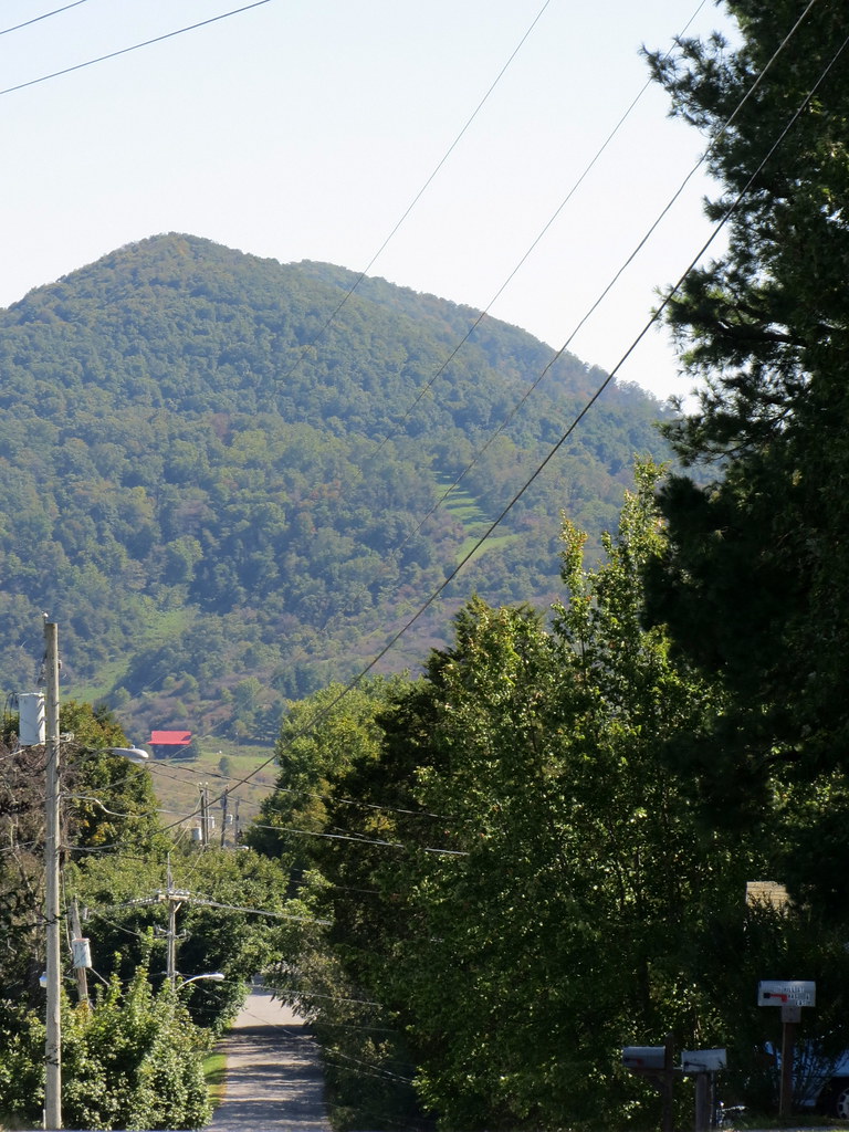
Mountain.
Mountain In Tazewell.
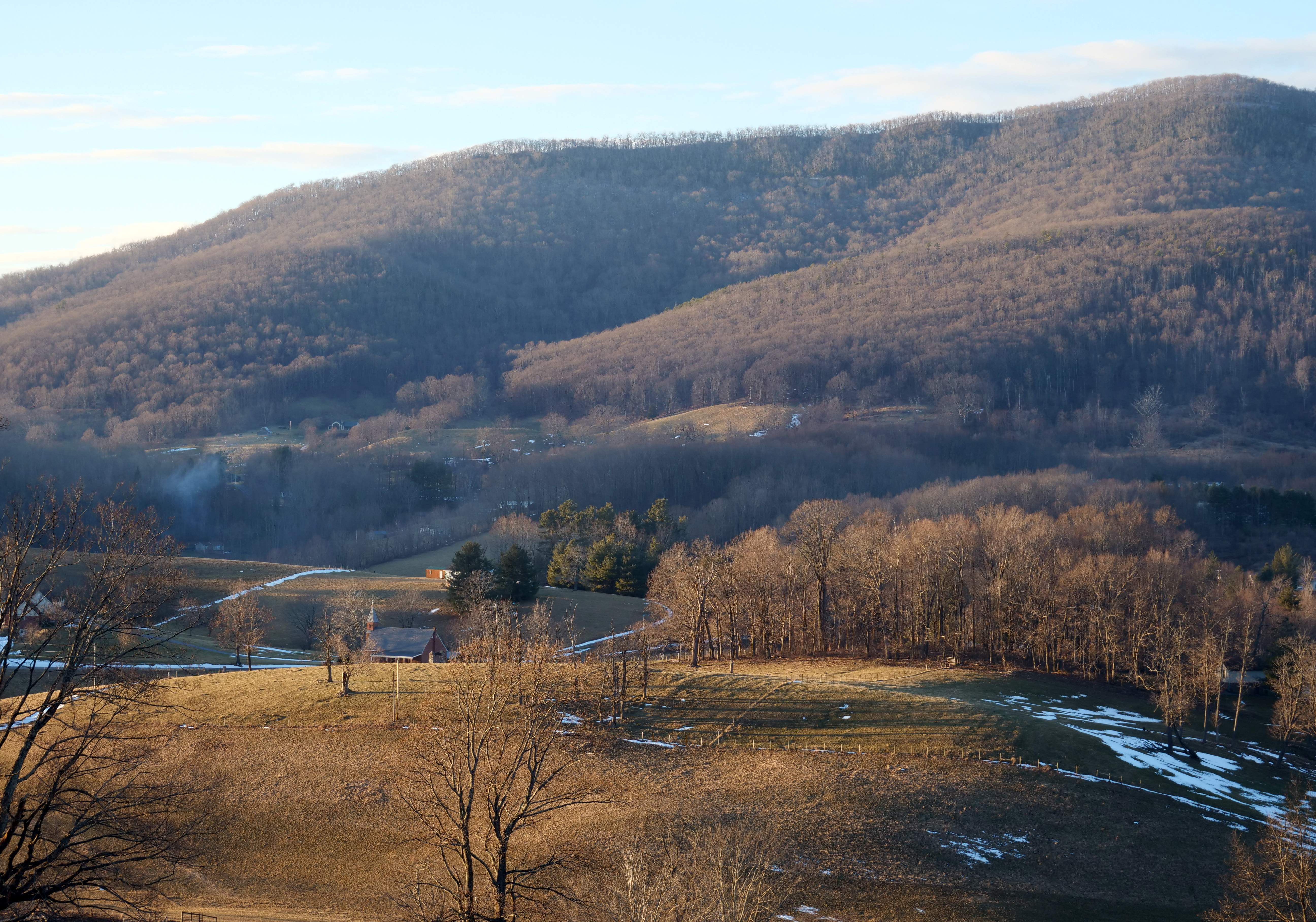
afternoon light

1981 12-30 1445 N&W C30-7-8049 W/B Tazewell, VA
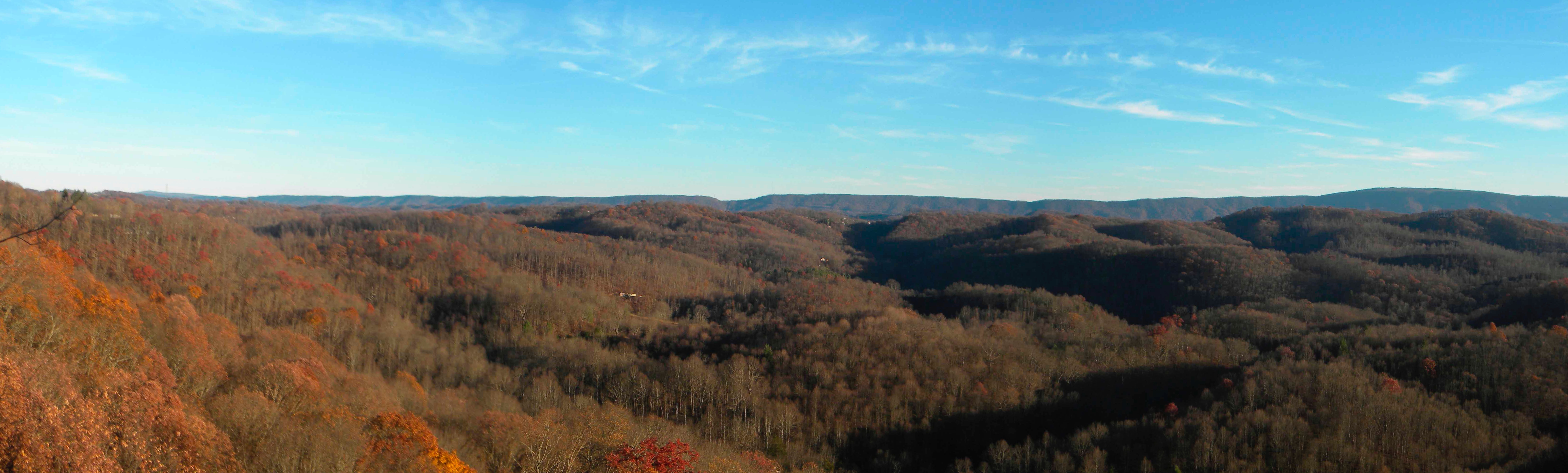
Virginia and West Virginia: View from Pinnacle Rock overlook
VIEW FROM MY HOME
A shortened perspective

_MG_1584 8x10 COLOR CUTOUT
MAIN STREET U.S.A.

WONDERFUL VIEW
Trinity Presbyterian Church Side View.
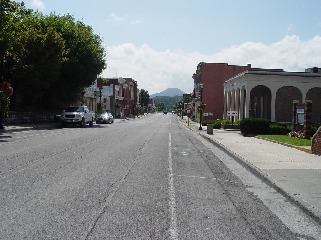
TAZEWELL'S MAIN STREET
Scenic Tazewell, Virginia.
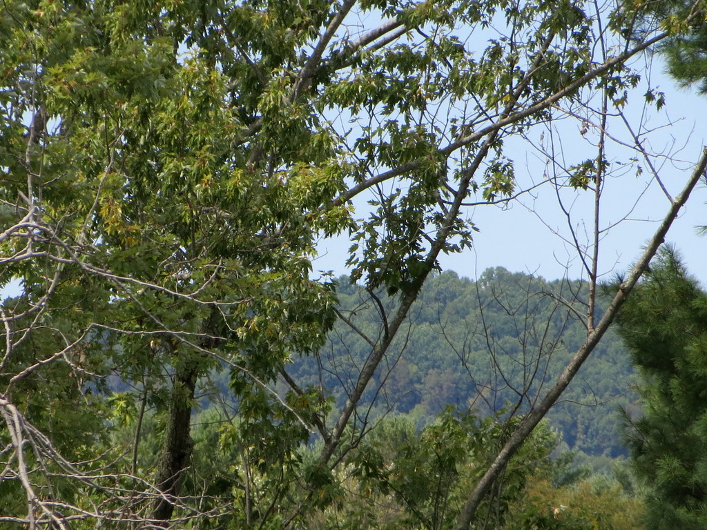
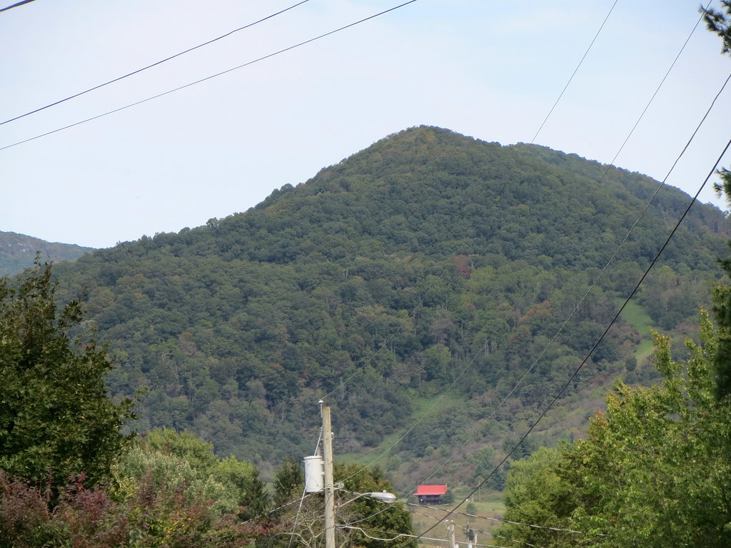
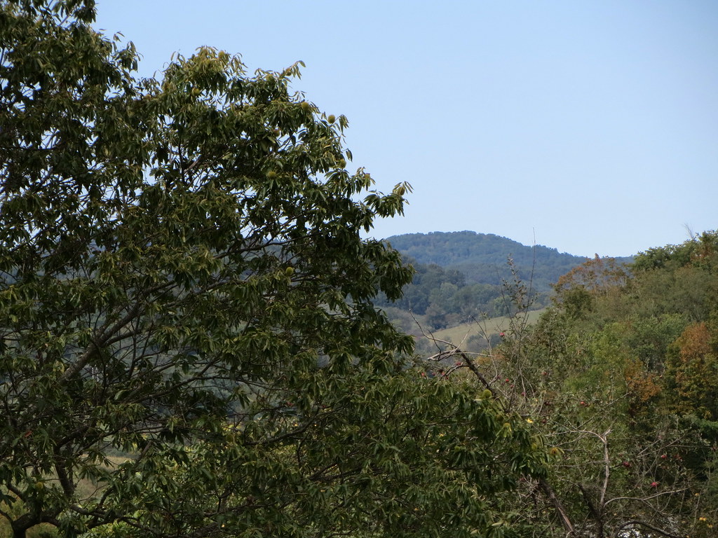
Mountain Through The Trees.
Pinnacle Rock State Park
ofest07 01
Pinnacle Rock State Park
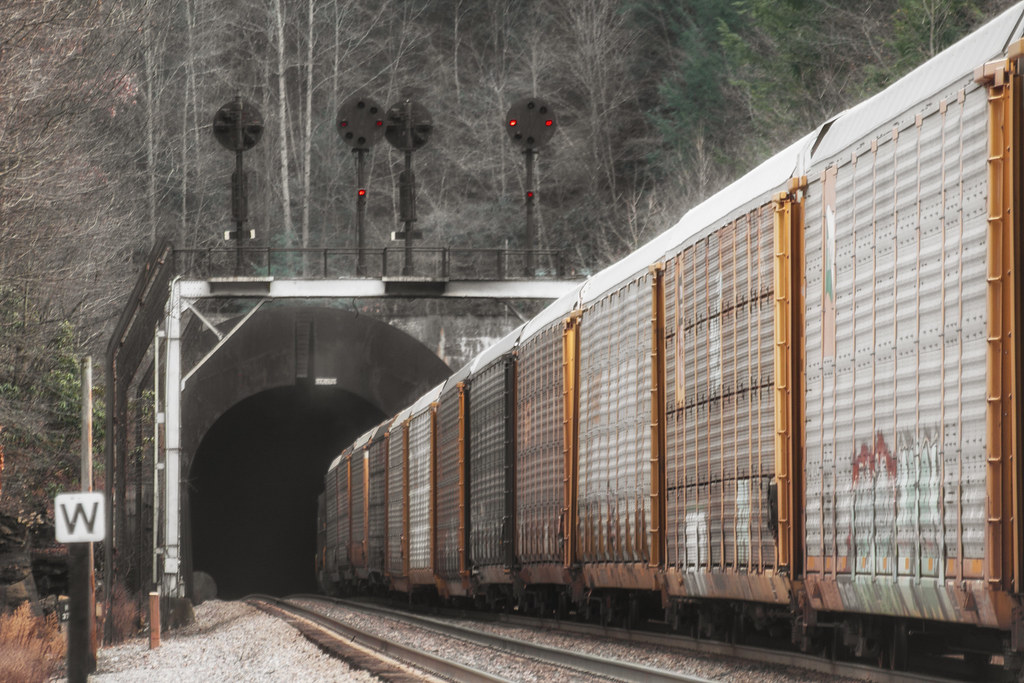
The NKP in Fall Colors

1981 12-30 1455 N&W SD40-1620, 1589, 1604 pkd at Tazewell, VA
Nature Photography
Nature Photography
Anawalt Lake
Nature Photography
BULLDOG MASCOT
Switchback Heritage Pair
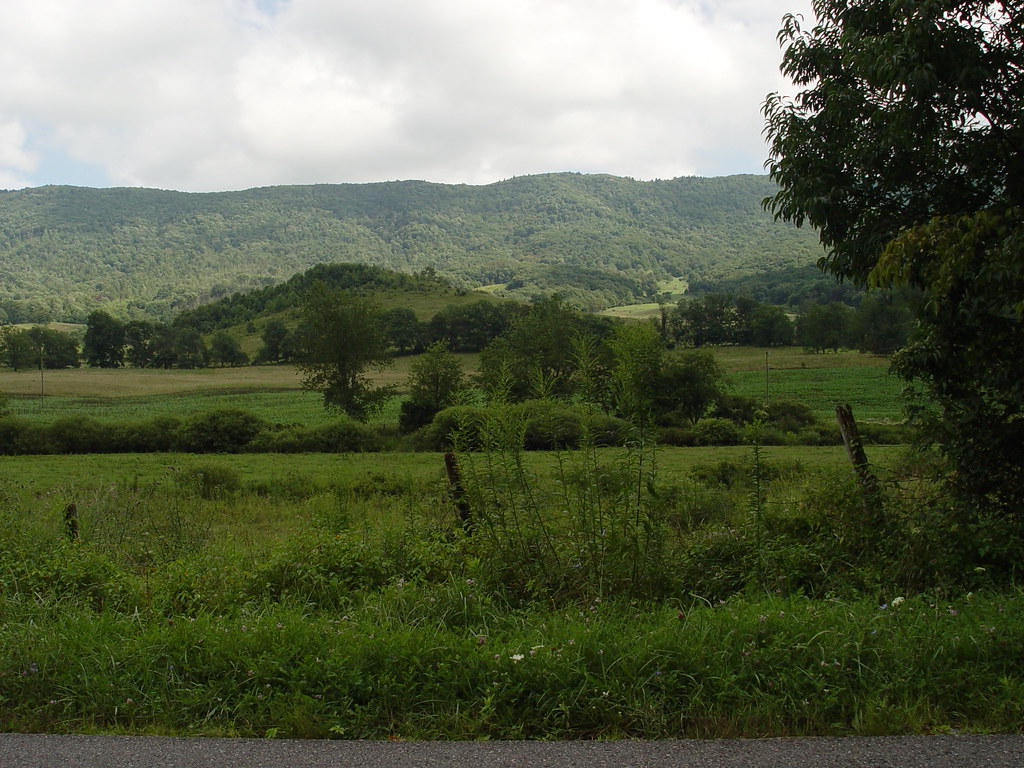
THOMPSON VALLEY

Pinnacle Rock State Park
Pinnacle Rock State Park
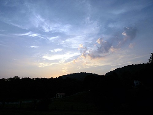
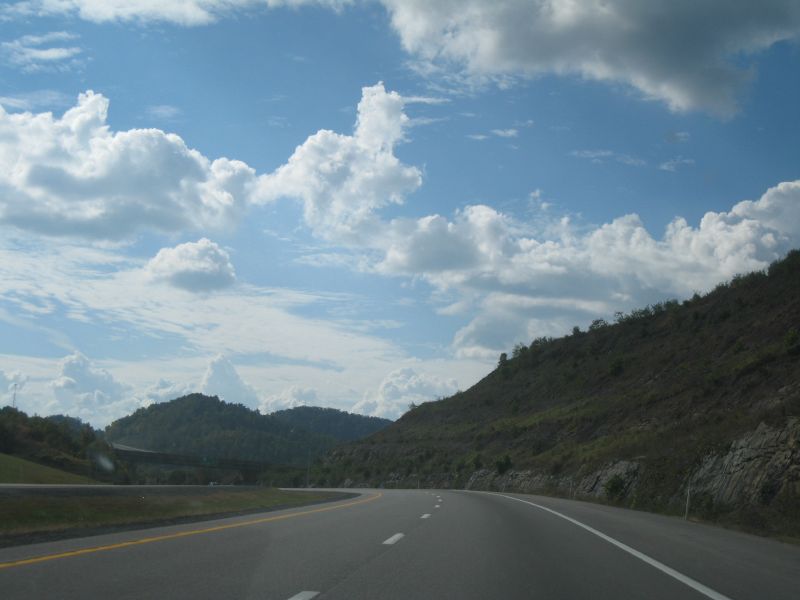
CLOUD OVER WEST VIRGINIA-4-2007-8-9
Topographic Map of Suzanne Ave, Bluefield, VA, USA
Find elevation by address:

Places near Suzanne Ave, Bluefield, VA, USA:
Northern
5038 Mud Fork Rd
8375 Mud Fork Rd
1380 Salina Rd
Lynn Hollow Road
Daniels Rd, Bandy, VA, USA
1246 Lynn Hollow Rd
335 Redfern Ln
Crocketts Cove Road
548 Baughs Ridge Rd
1837 Whitley Branch Rd
964 Buckhorn St
Eastern
263 Cecil Dr
546 E Riverside Dr
2157 Adria Rd
640 Blackhorse Rd
2210 Virginia Ave
North Tazewell
2048 Virginia Ave
Recent Searches:
- Elevation of Côte-des-Neiges, Montreal, QC H4A 3J6, Canada
- Elevation of Bobcat Dr, Helena, MT, USA
- Elevation of Zu den Ihlowbergen, Althüttendorf, Germany
- Elevation of Badaber, Peshawar, Khyber Pakhtunkhwa, Pakistan
- Elevation of SE Heron Loop, Lincoln City, OR, USA
- Elevation of Slanický ostrov, 01 Námestovo, Slovakia
- Elevation of Spaceport America, Co Rd A, Truth or Consequences, NM, USA
- Elevation of Warwick, RI, USA
- Elevation of Fern Rd, Whitmore, CA, USA
- Elevation of 62 Abbey St, Marshfield, MA, USA