Elevation of Daniels Rd, Bandy, VA, USA
Location: United States > Virginia > Tazewell County > Northern > Bandy >
Longitude: -81.508816
Latitude: 37.214273
Elevation: 649m / 2129feet
Barometric Pressure: 94KPa
Elevation Map:
Satellite Map:
Related Photos:
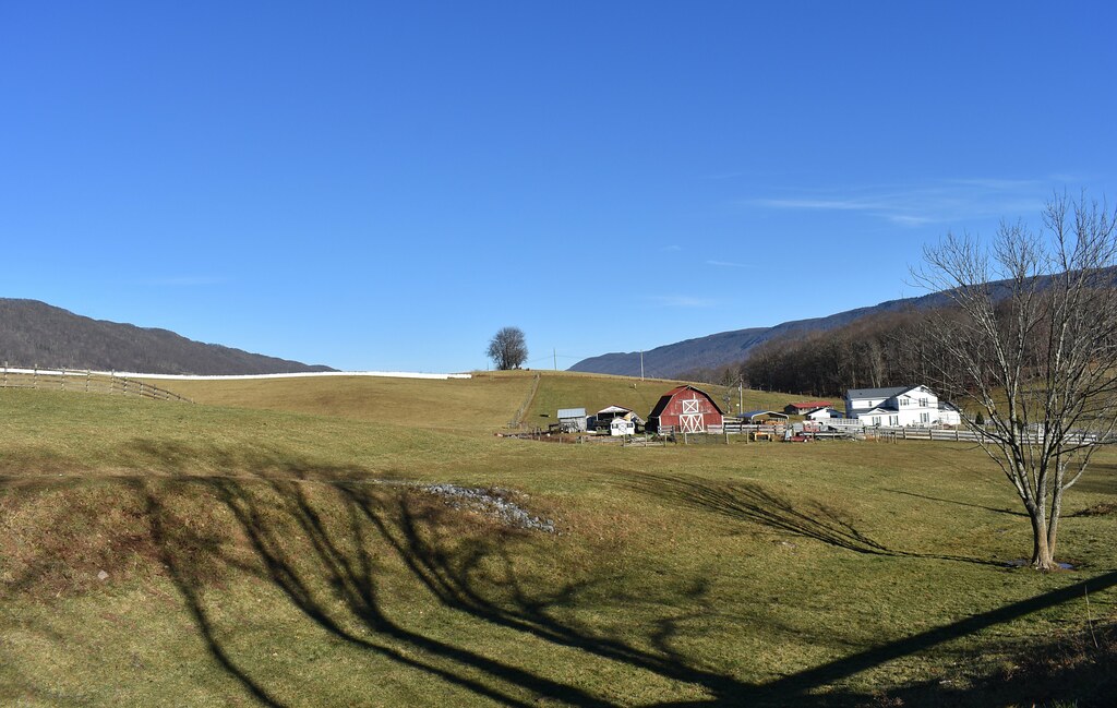
VIEW FROM MY HOME
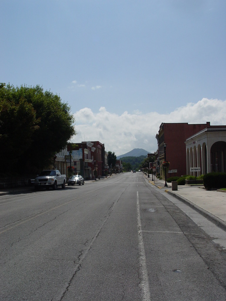
MAIN STREET U.S.A.
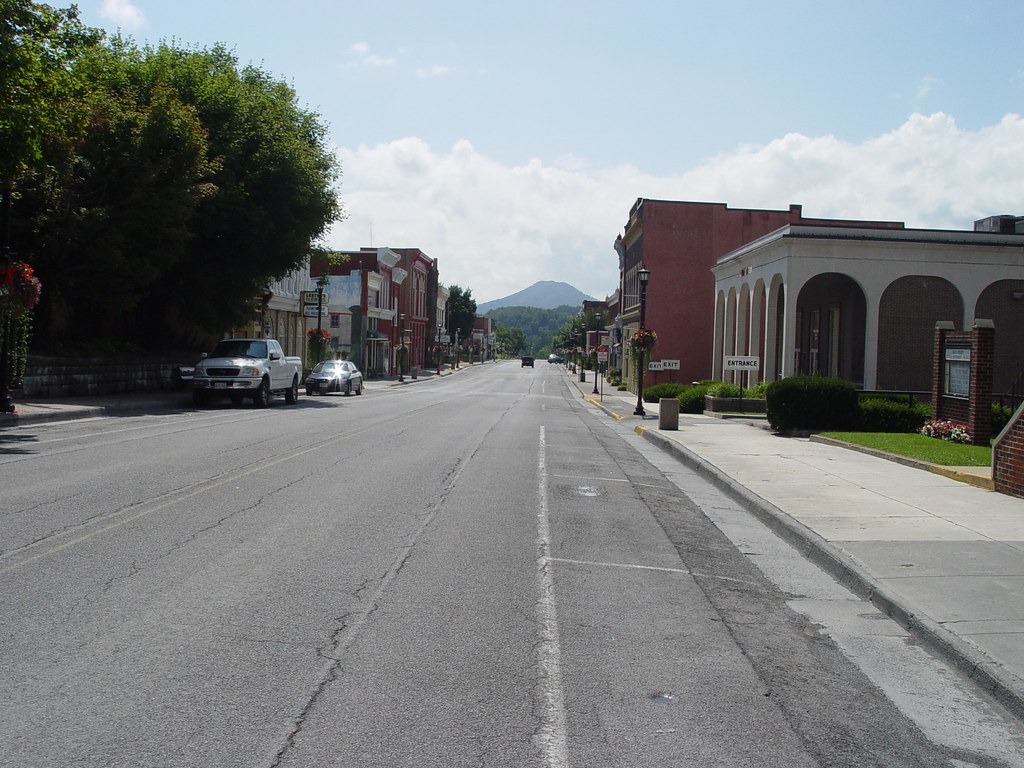
TAZEWELL'S MAIN STREET

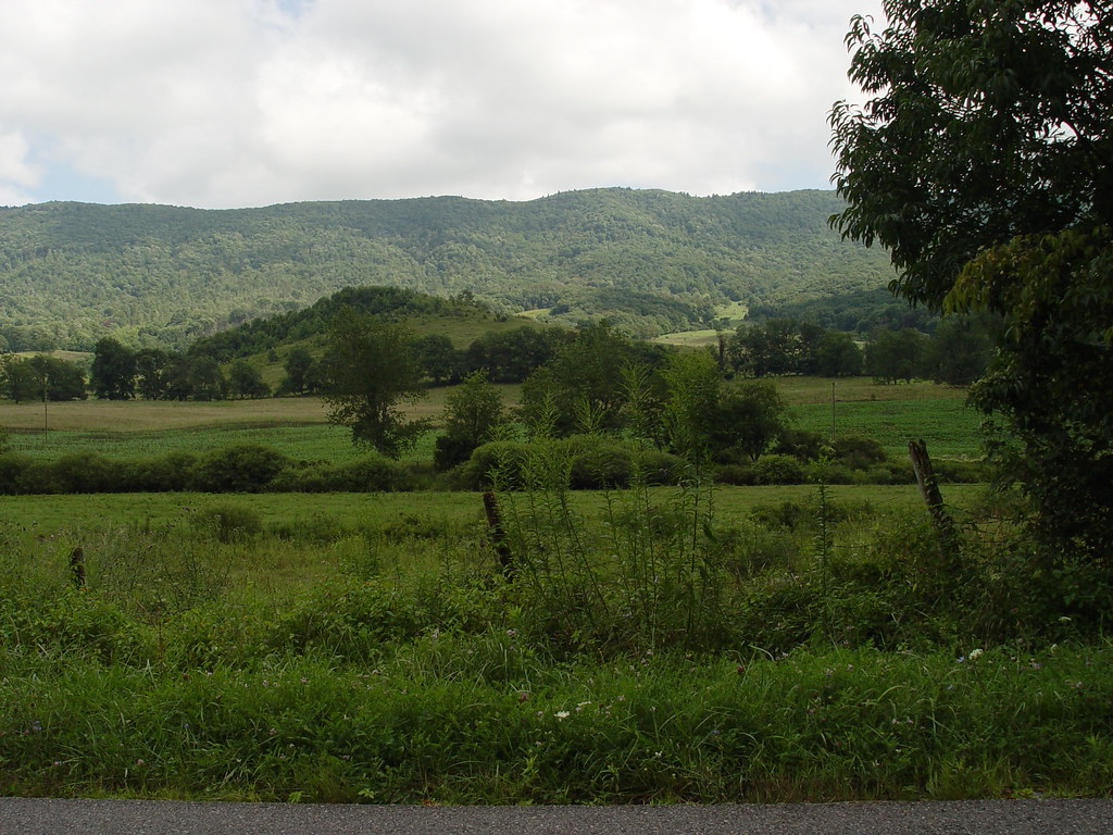
WONDERFUL VIEW
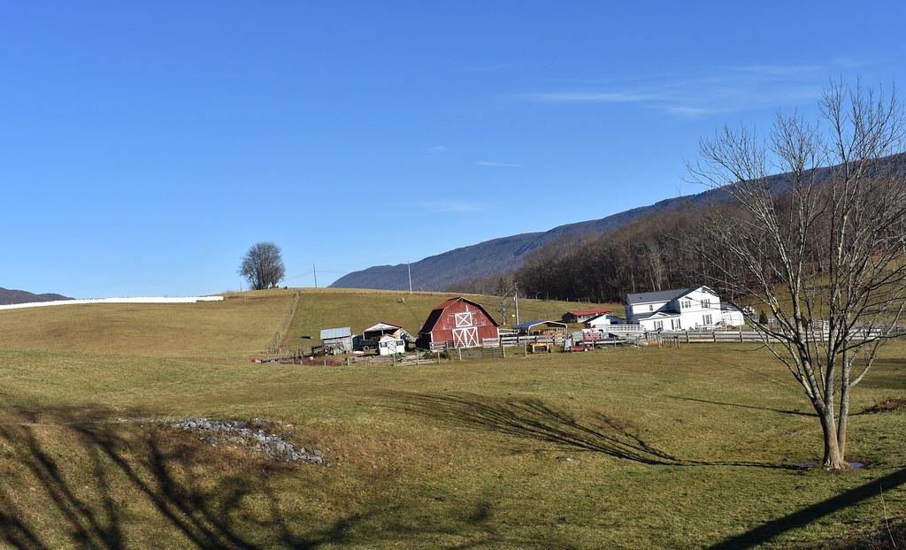
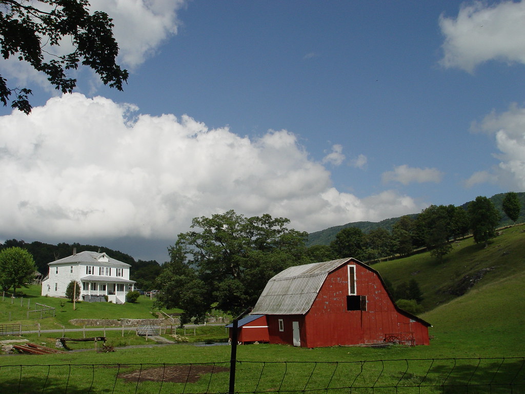
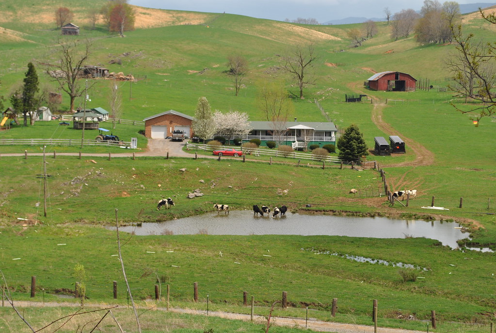
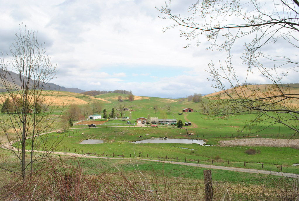
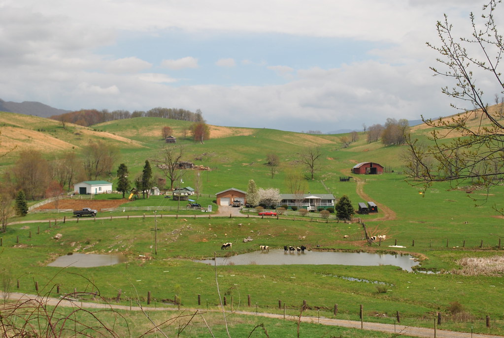
ELMORE BUCHANAN FARM
ELMORE BUCHANAN FARM
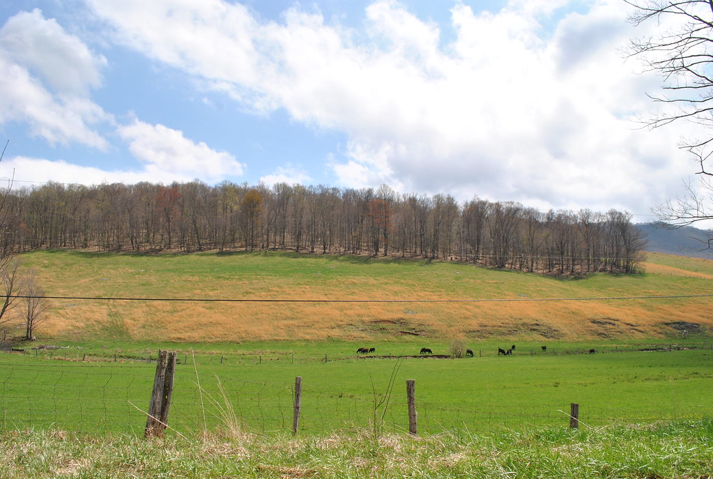
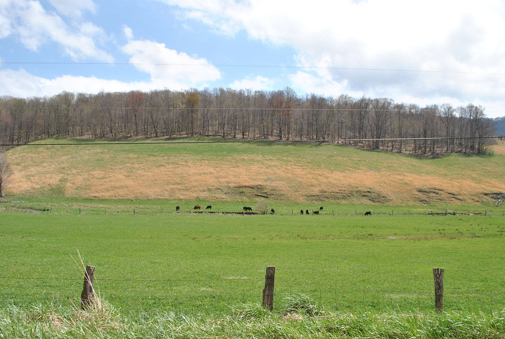
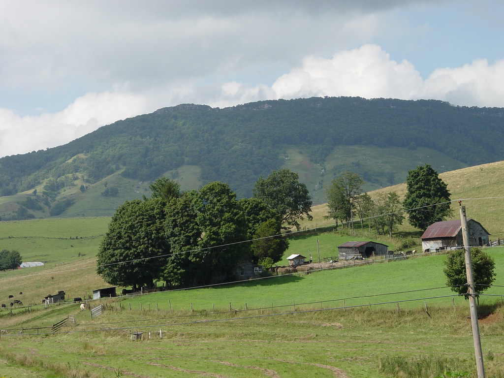
THOMPSON VALLEY
BROOKS FARM

Anawalt Lake
099-ta
Mine near Skygusty
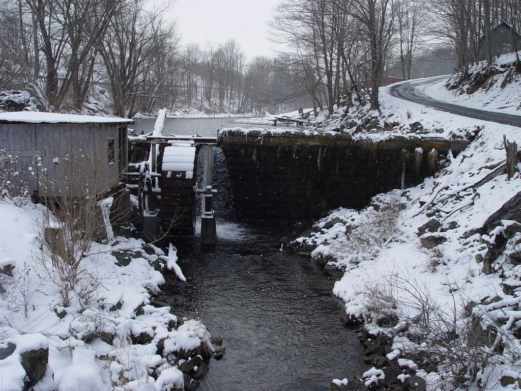
Shawvers Mill
SPRING TIME
SPRING IN THOMPSON VALLEY
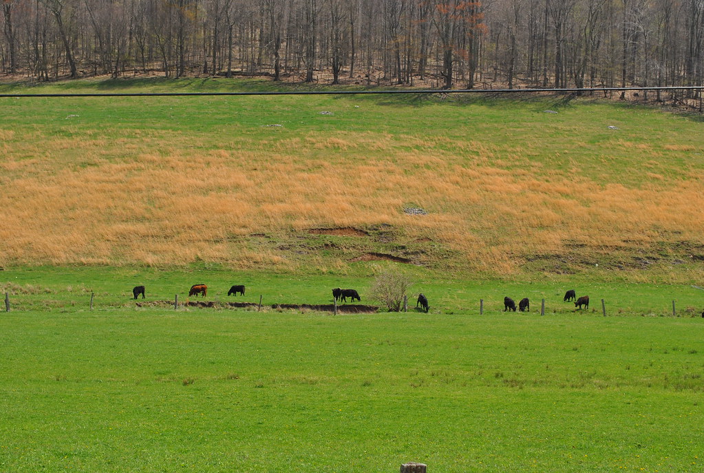
THOMPSON VALLEY

Pageton Company Store
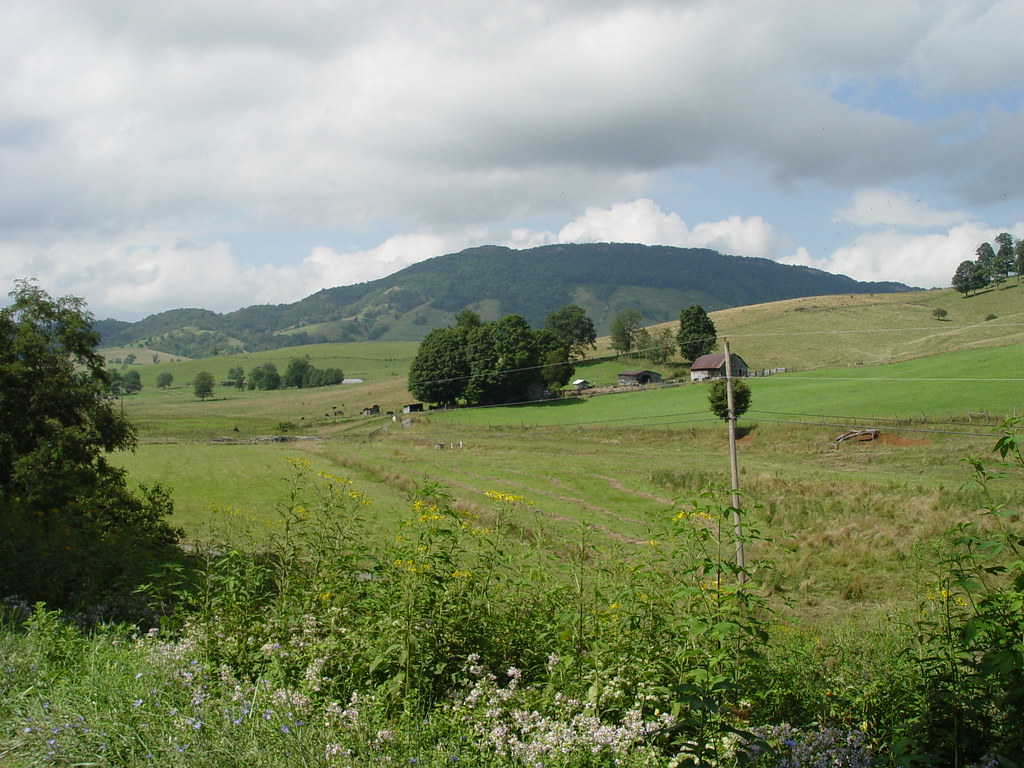
THOMPSON VALLEY

Pisgah Road
THOMPSON VALLEY
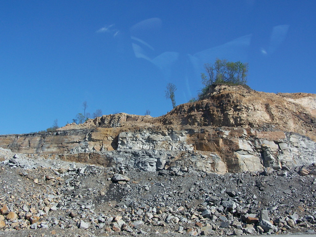
Mine near Skygusty
THOMPSON VALLEY

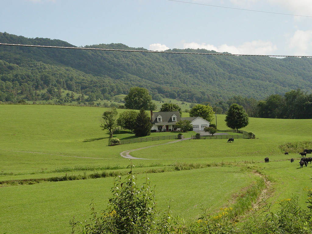
FAMILY FARM
THOMPSON VALLEY
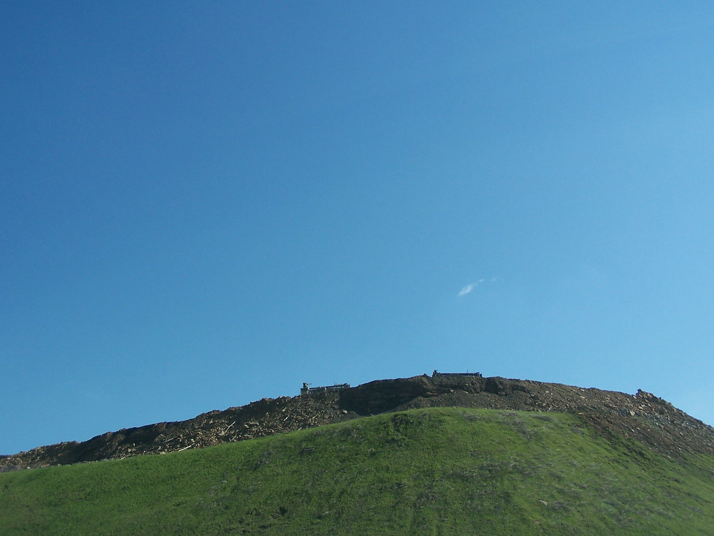
THE PEAK
Topographic Map of Daniels Rd, Bandy, VA, USA
Find elevation by address:

Places near Daniels Rd, Bandy, VA, USA:
Crocketts Cove Road
1380 Salina Rd
5038 Mud Fork Rd
1837 Whitley Branch Rd
263 Cecil Dr
Northern
1246 Lynn Hollow Rd
2157 Adria Rd
Lynn Hollow Road
127 Suzanne Ave
640 Blackhorse Rd
546 E Riverside Dr
North Tazewell
369 W Riverside Dr
964 Buckhorn St
140 School St
Tazewell
Tazewell County
634 Marion Ave
519 Richardson Dr
Recent Searches:
- Elevation of Bernina Dr, Lake Arrowhead, CA, USA
- Elevation of N 82nd Pl, Mesa, AZ, USA
- Elevation of Snake Hill Rd, North Scituate, RI, USA
- Elevation of Lake Shore Dr, Warwick, RI, USA
- Elevation of E Brightview Ave, Pittsburgh, PA, USA
- Elevation of Cavendish Rd, Harringay Ladder, London N4 1RR, UK
- Elevation of 1 Zion Park Blvd, Springdale, UT, USA
- Elevation of Ganderbal
- Elevation map of Konkan Division, Maharashtra, India
- Elevation of Netaji Nagar, Hallow Pul, Kurla, Mumbai, Maharashtra, India