Elevation of Blackhorse Rd, North Tazewell, VA, USA
Location: United States > Virginia > Tazewell County > Northern > North Tazewell >
Longitude: -81.526107
Latitude: 37.13823
Elevation: 773m / 2536feet
Barometric Pressure: 92KPa
Elevation Map:
Satellite Map:
Related Photos:
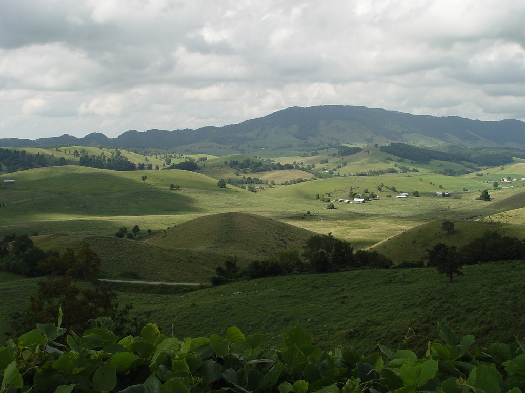
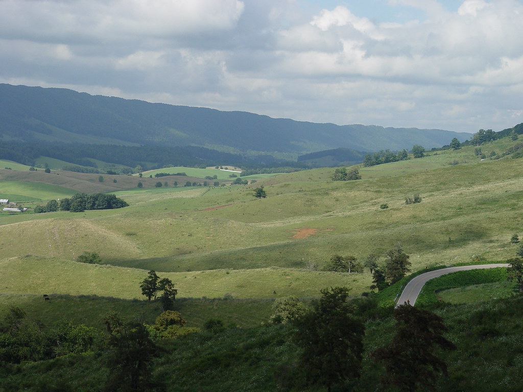
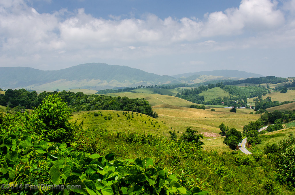
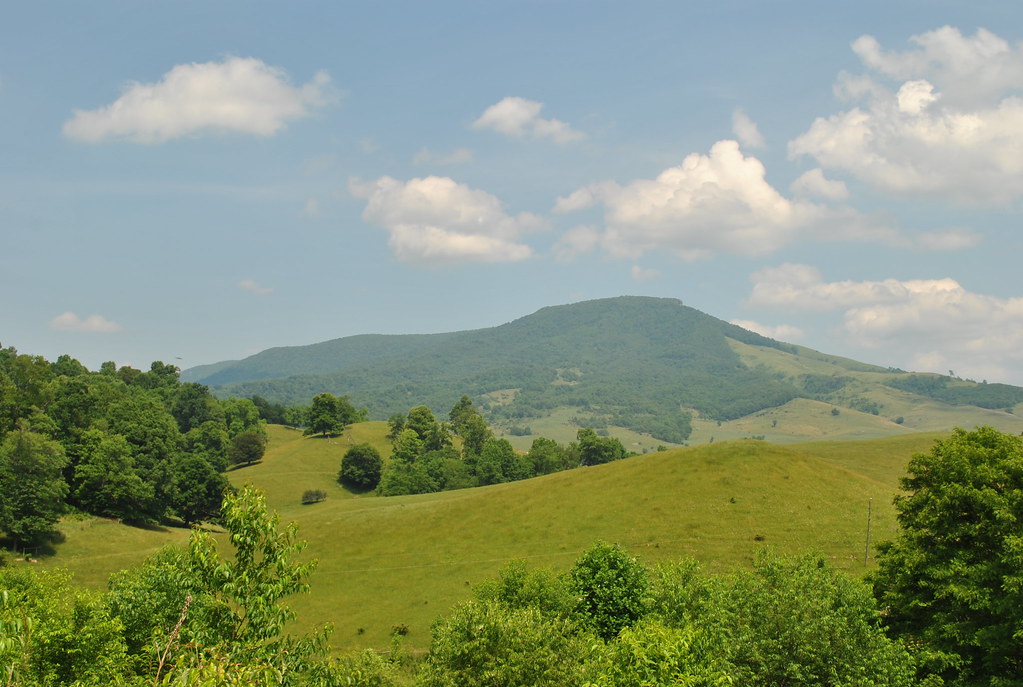
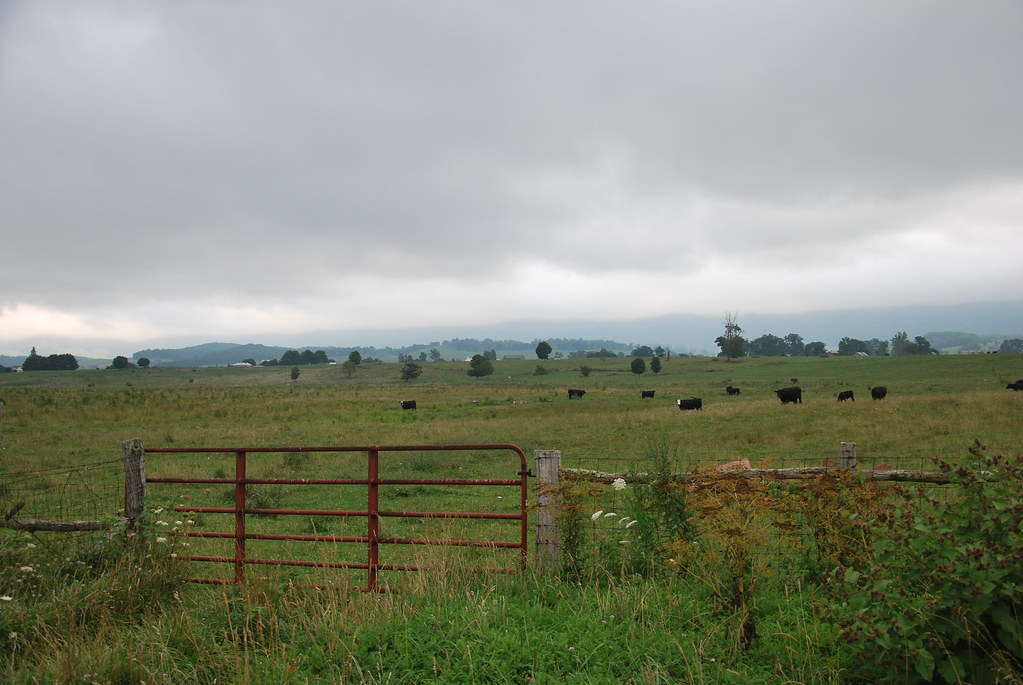
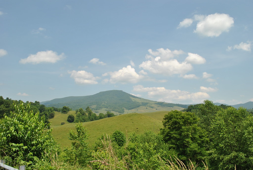
THOMPSON VALLEY
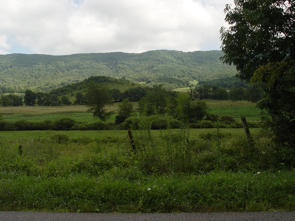
VIEW FROM MY HOME

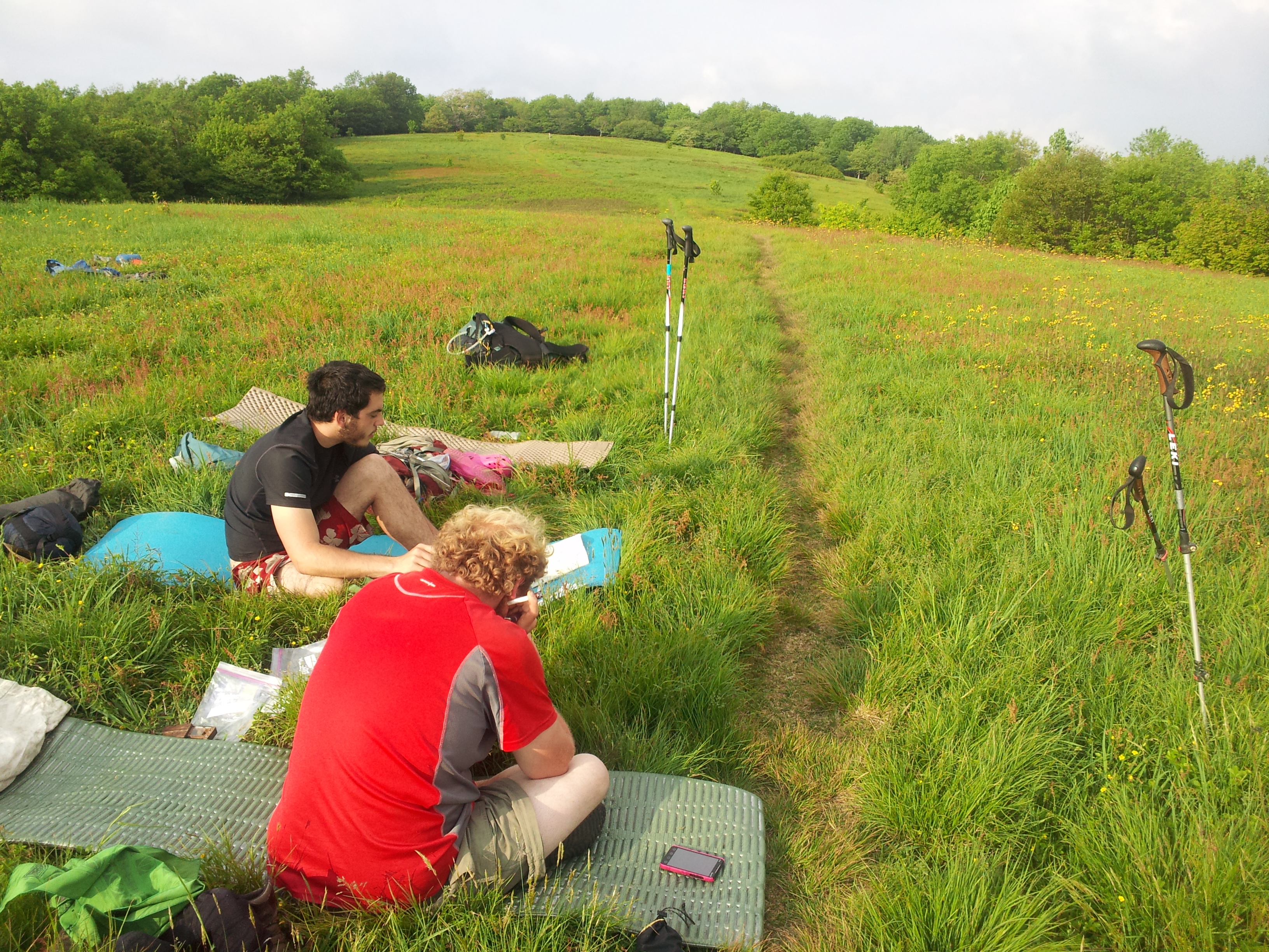
AT Field
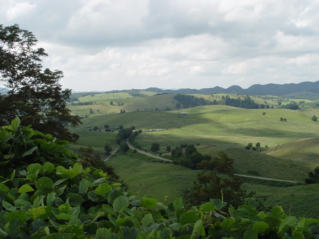
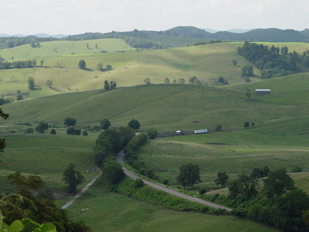
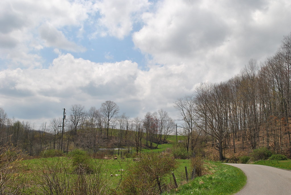
THOMPSON VALLEY
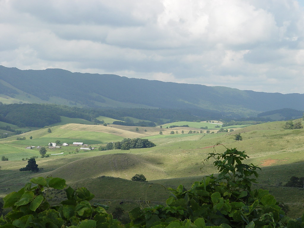
THOMPSON VALLEY

THOMPSON VALLEY
THOMPSON VALLEY
THOMPSON VALLEY

THOMPSON VALLEY
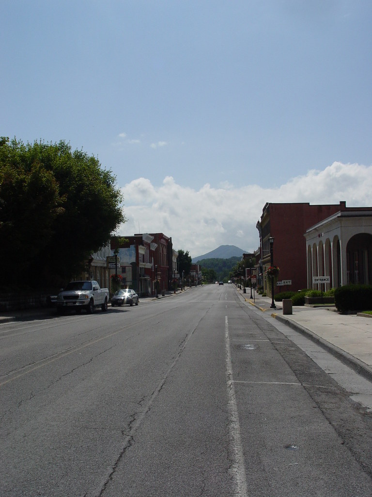
MAIN STREET U.S.A.

WONDERFUL VIEW

THOMPSON VALLEY
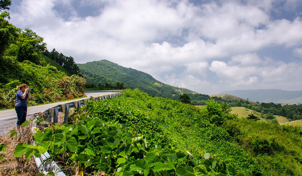
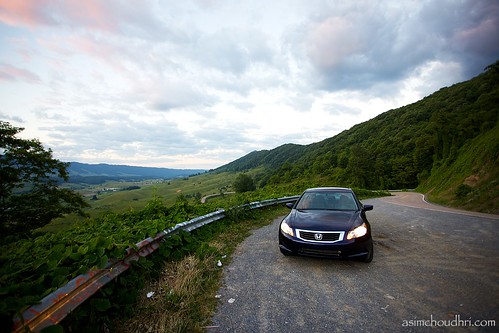
Capturing The View - Back Of The Dragon, Tazewell, VA
TAZEWELL'S MAIN STREET
JFRM-2017-05-7712.jpg
JFRM-2017-05-7706-Pano.jpg
Western Virginia
Thompson Valley II from Back Of The Dragon - Tazewell, VA

Along VA Route 16 - Smyth County
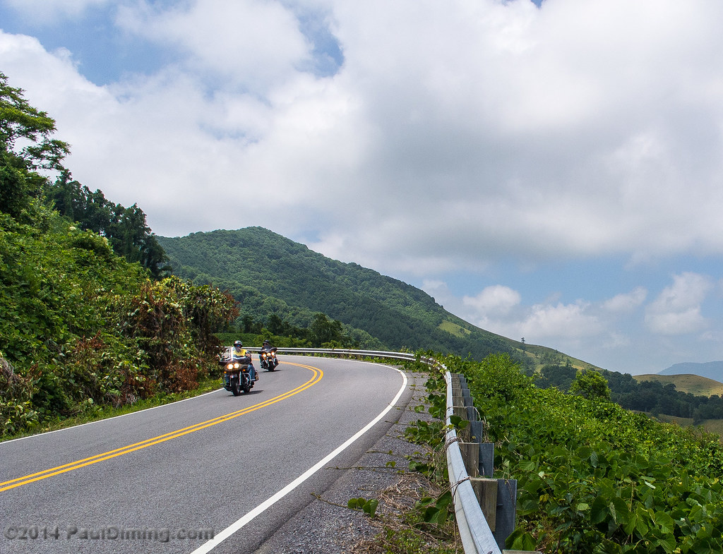
Motorcyclists Cruising - Back Of The Dragon, Tazewell, VA

Along VA Route 16 - Smyth County
THOMPSON VALLEY
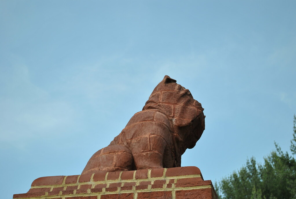
BULLDOG MASCOT
sunset en route to tazewell...
THE COVE
THOMPSON VALLEY
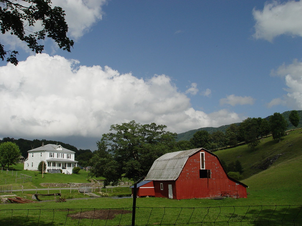
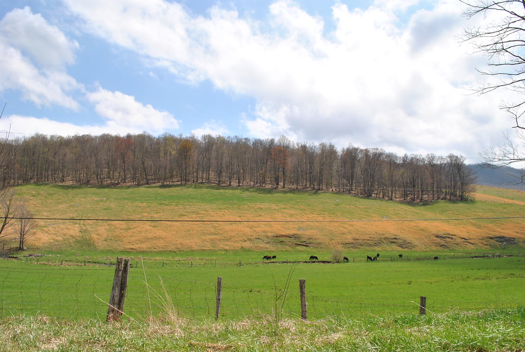
BROOKS FARM

Old roadway
Burkes Garden
THE PLACE I CALL HOME
Break Time
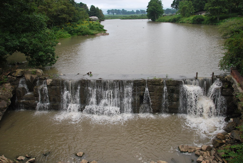
Burkes Garden Lake
THE COVE
Topographic Map of Blackhorse Rd, North Tazewell, VA, USA
Find elevation by address:

Places near Blackhorse Rd, North Tazewell, VA, USA:
North Tazewell
1837 Whitley Branch Rd
546 E Riverside Dr
369 W Riverside Dr
140 School St
Tazewell
2157 Adria Rd
263 Cecil Dr
634 Marion Ave
634 Marion Ave
Tazewell County
519 Richardson Dr
350 Peakwood Dr
964 Buckhorn St
Crocketts Cove Road
1246 Lynn Hollow Rd
1380 Salina Rd
Daniels Rd, Bandy, VA, USA
Lynn Hollow Road
548 Baughs Ridge Rd
Recent Searches:
- Elevation of Tenjo, Cundinamarca, Colombia
- Elevation of Côte-des-Neiges, Montreal, QC H4A 3J6, Canada
- Elevation of Bobcat Dr, Helena, MT, USA
- Elevation of Zu den Ihlowbergen, Althüttendorf, Germany
- Elevation of Badaber, Peshawar, Khyber Pakhtunkhwa, Pakistan
- Elevation of SE Heron Loop, Lincoln City, OR, USA
- Elevation of Slanický ostrov, 01 Námestovo, Slovakia
- Elevation of Spaceport America, Co Rd A, Truth or Consequences, NM, USA
- Elevation of Warwick, RI, USA
- Elevation of Fern Rd, Whitmore, CA, USA