Elevation of Sullivan Dr, Auburn, CA, USA
Location: United States > California > Placer County > Auburn >
Longitude: -121.08655
Latitude: 38.9413733
Elevation: 462m / 1516feet
Barometric Pressure: 96KPa
Elevation Map:
Satellite Map:
Related Photos:
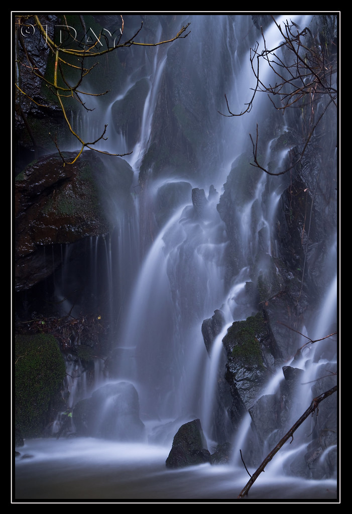
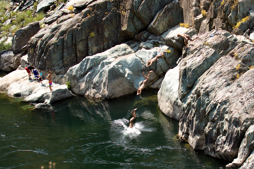
Grotto of the Falls
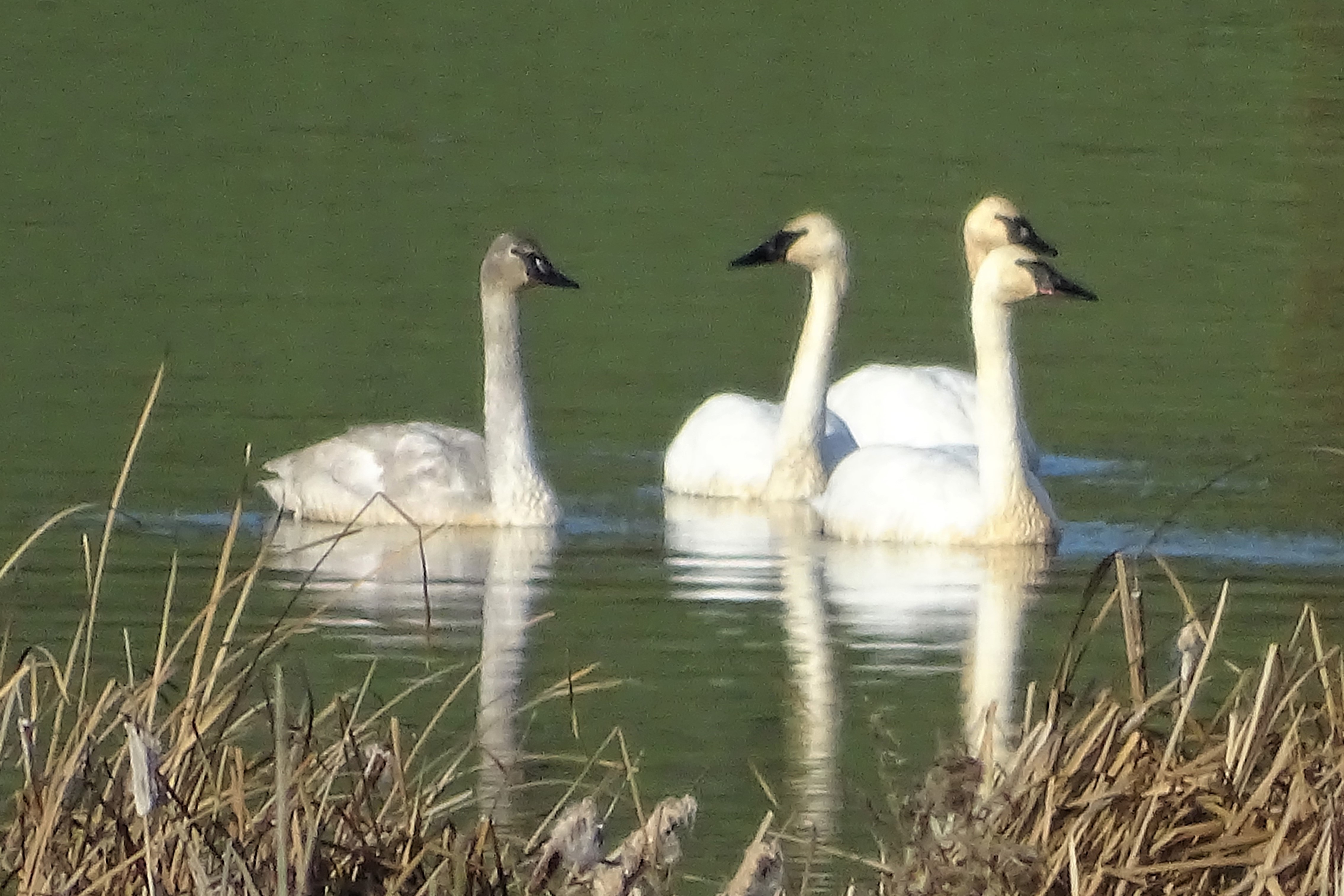
Trumpeter Swans--Cygnus buccinator
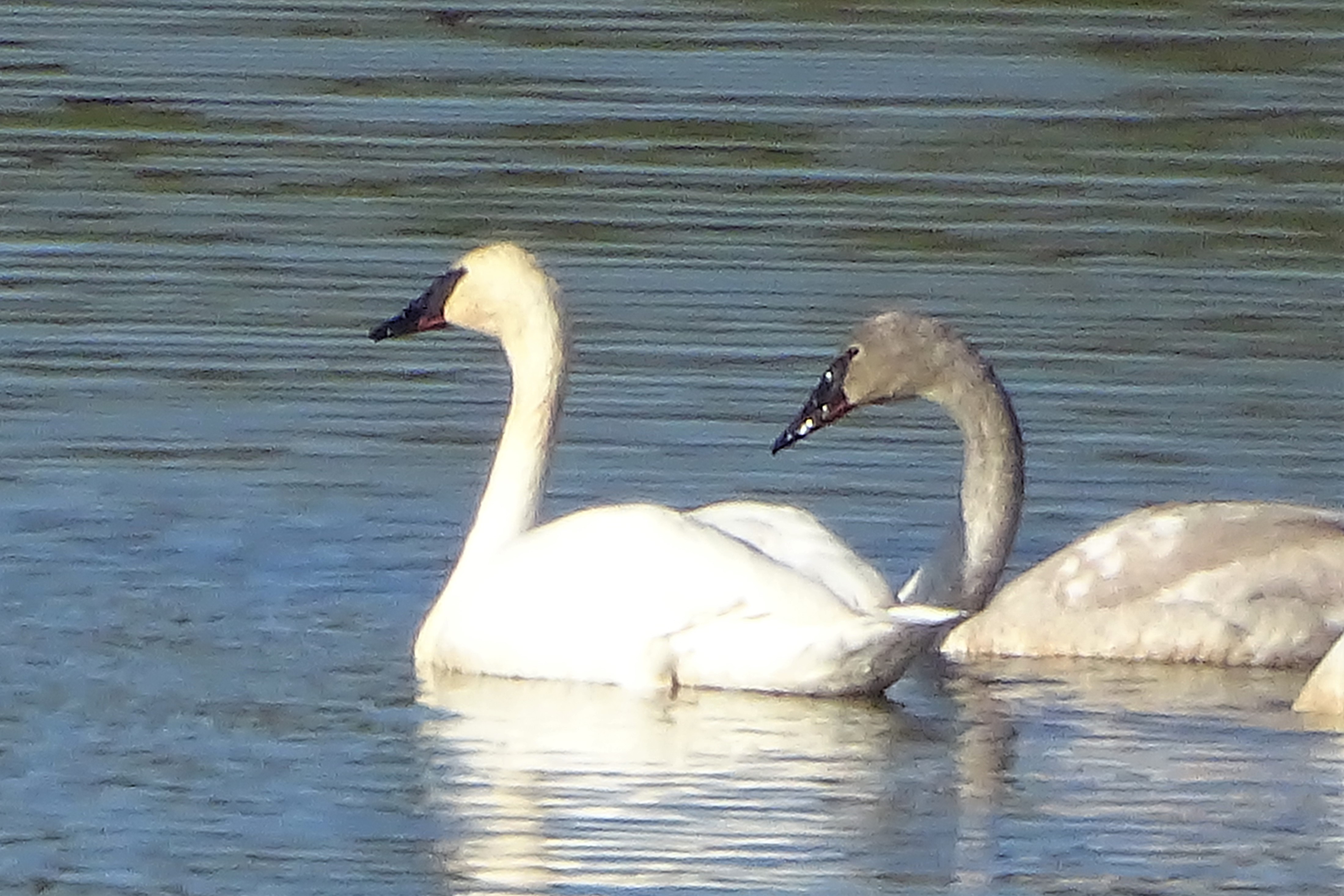
Trumpeter Swans--Cygnus buccinator
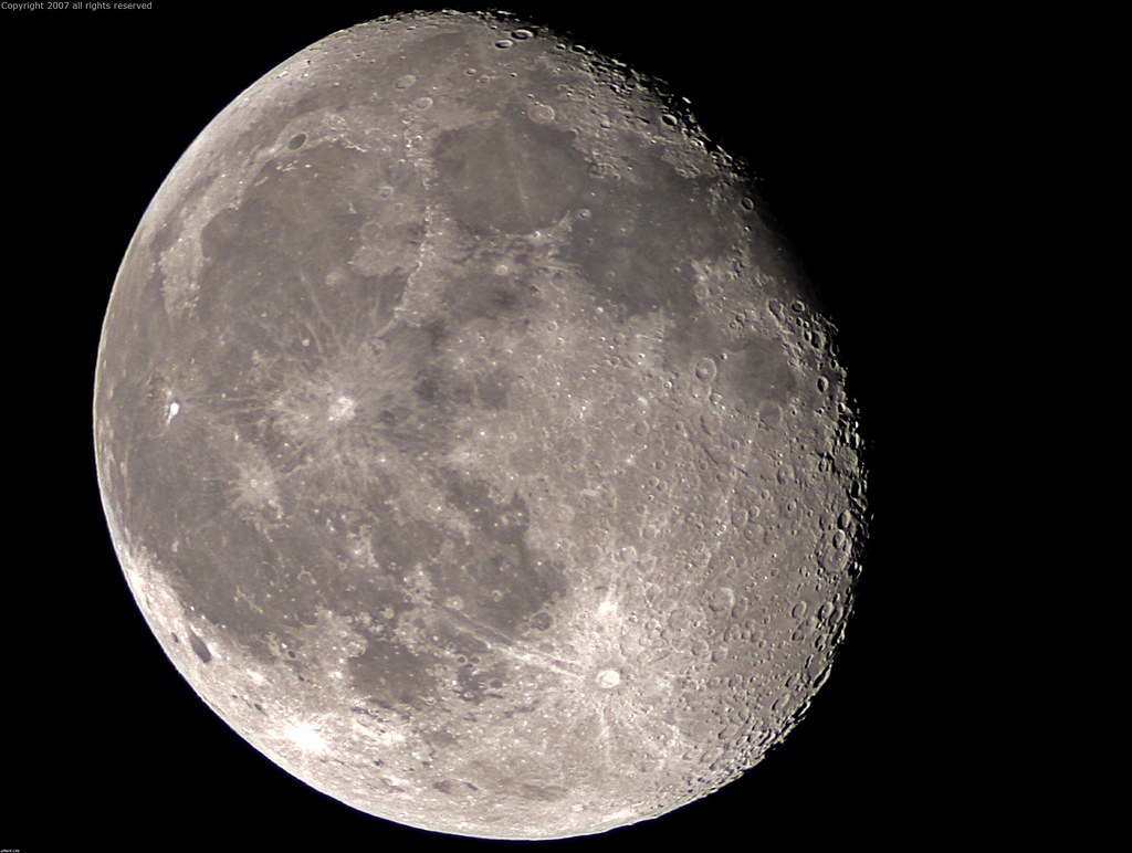
Full Sized Moon and Story 6479

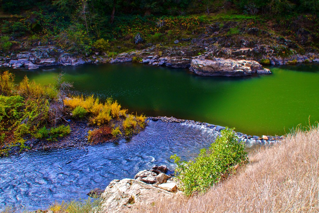
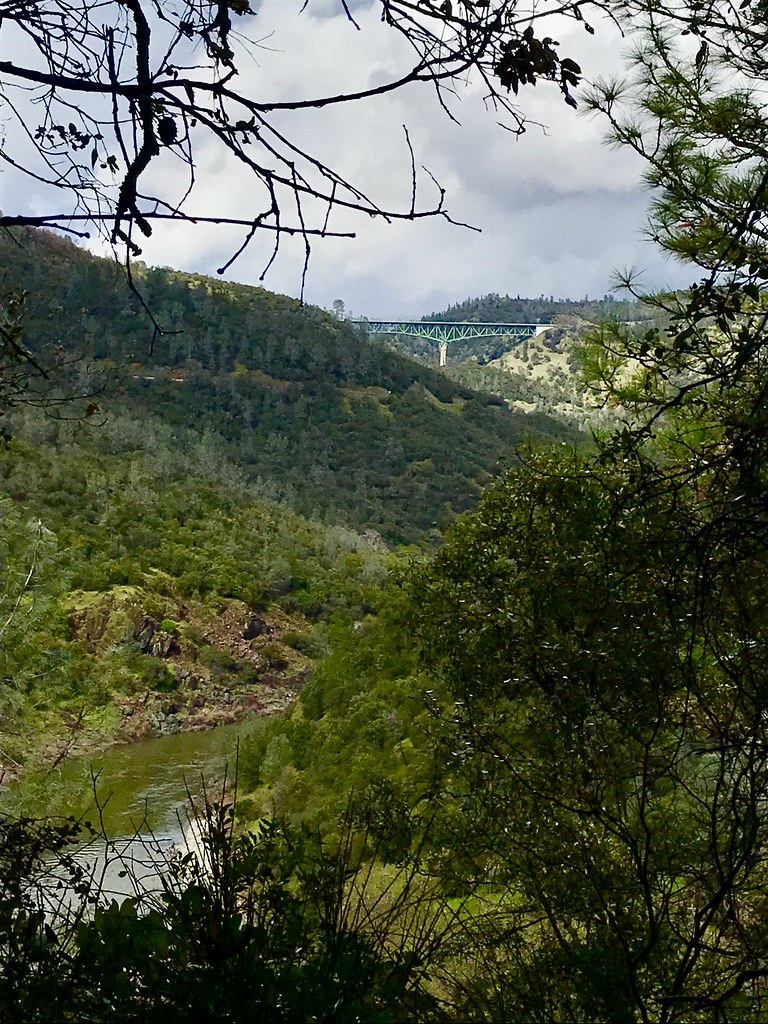
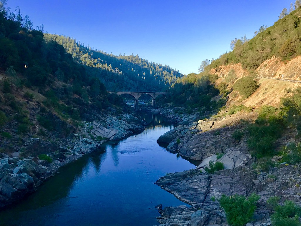
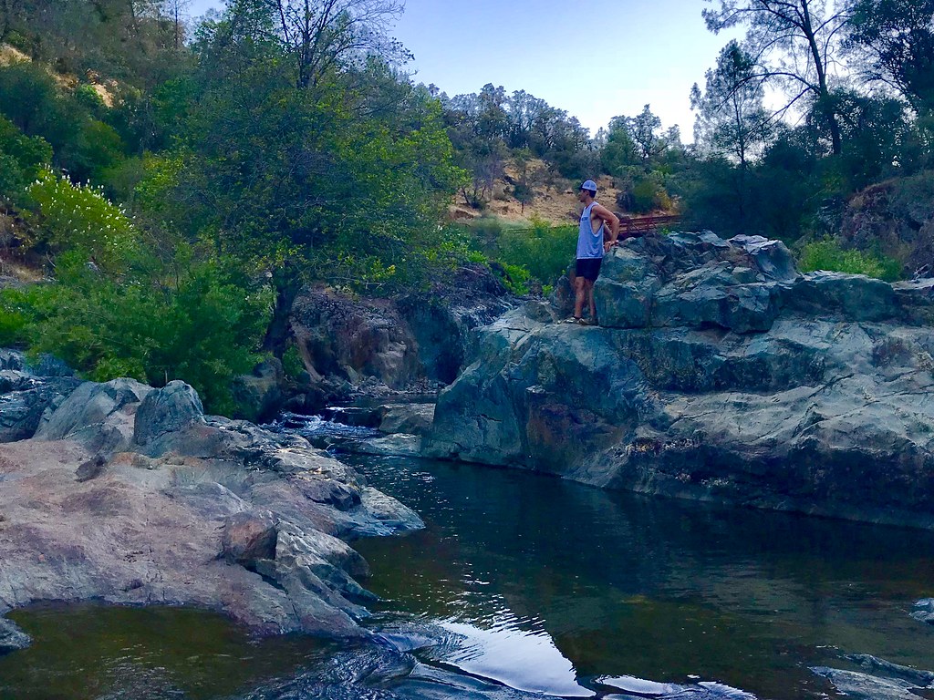
North Fork American River

Quarry Wall Under Forest Moonlight
Canyon View Preserve

Kitty Trance
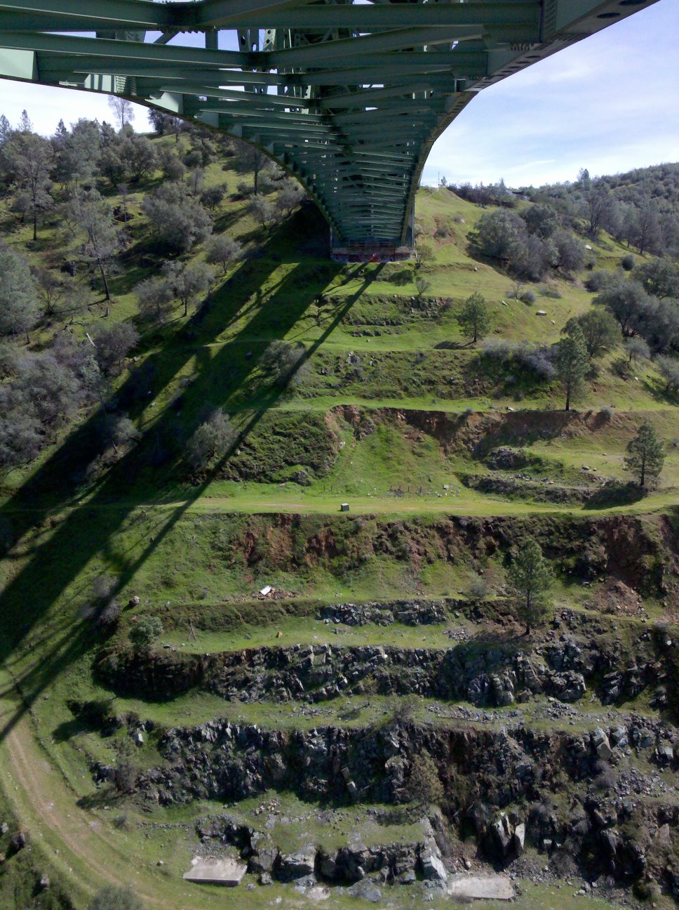
View towards east abutment
North Fork of American River

Couple-2059
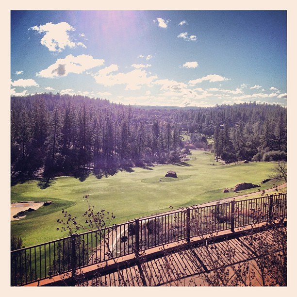
Scenes from Placer County
Summer Insanity 2737
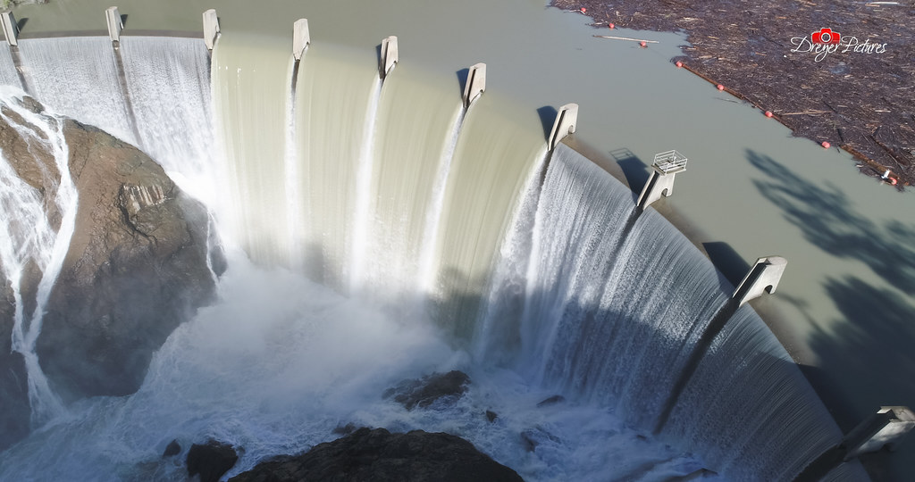
Clementine Dam - California
view up ladder

Fox Sparrow
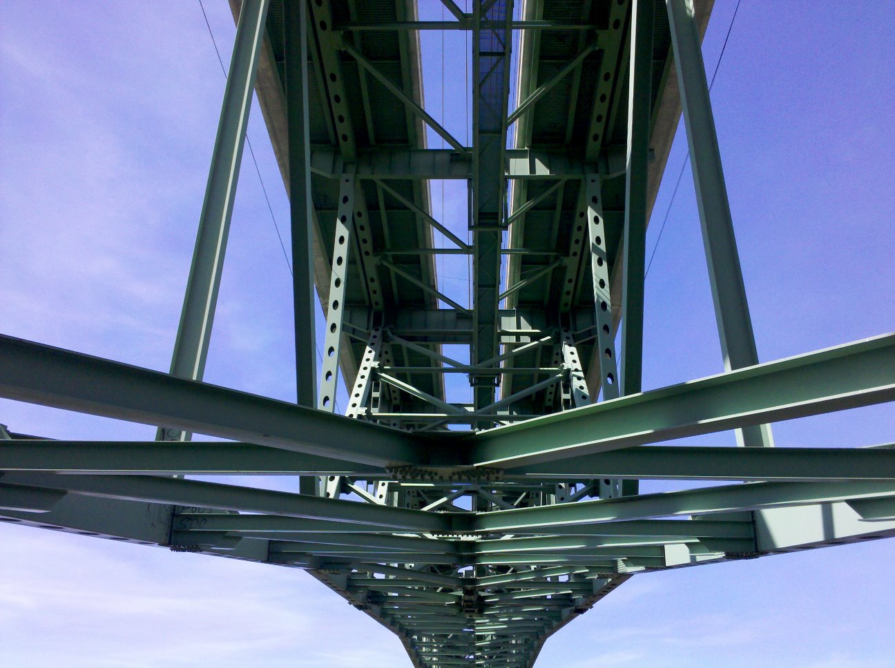
Bridge Structure
Forest Hill Bridge2645
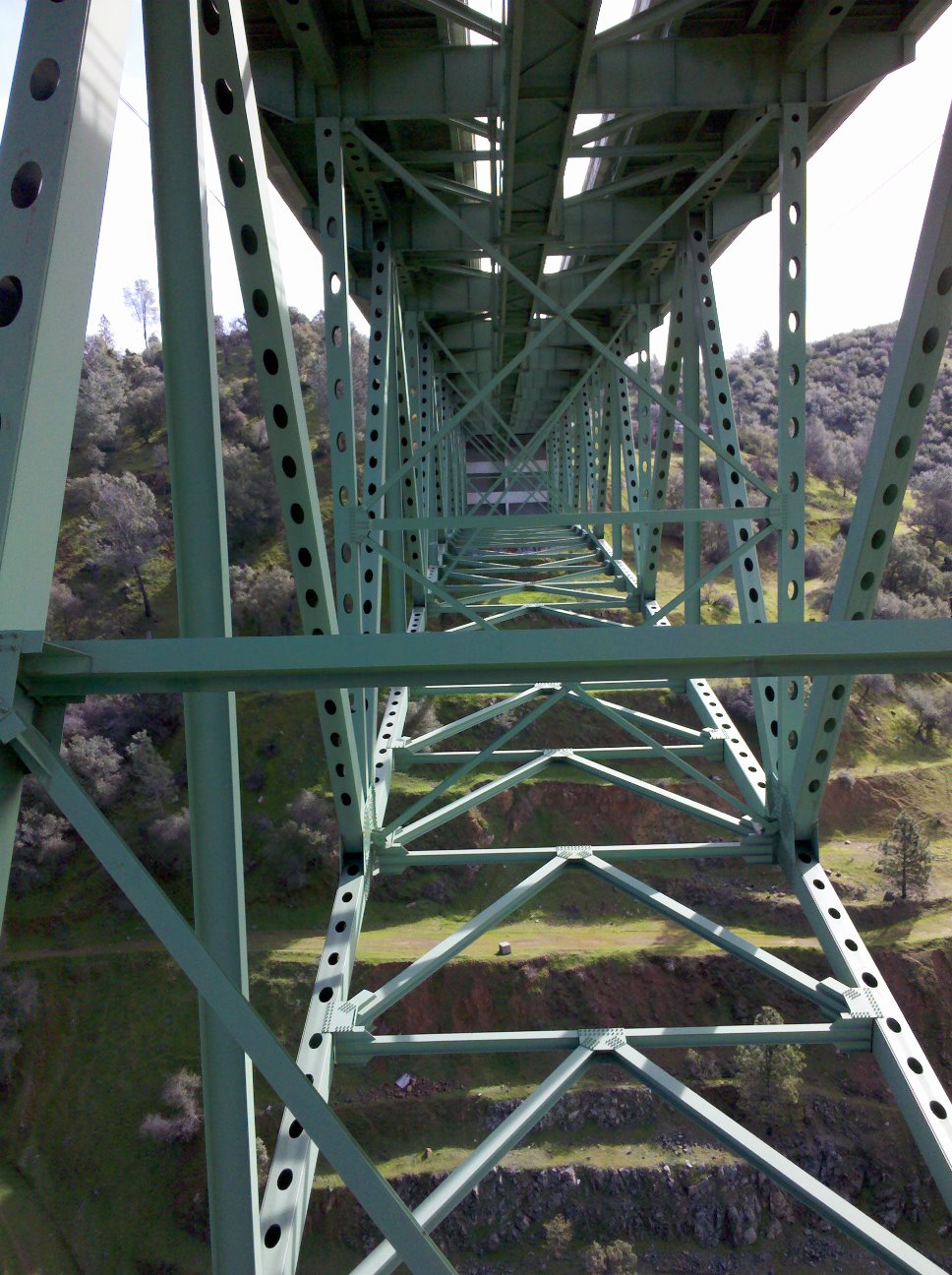
View towards Abutment 4
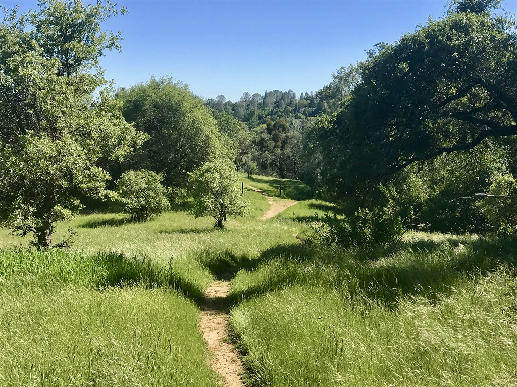
Trail View

Day 932: Auburn_9446d
Sometimes you get off the bike and take a hike around the lake... #lakeview #california #perfectday #hiking #trails #homestate #hearthealth #cardio #hikecalifornia #sunshine #peace #quiet #reflection
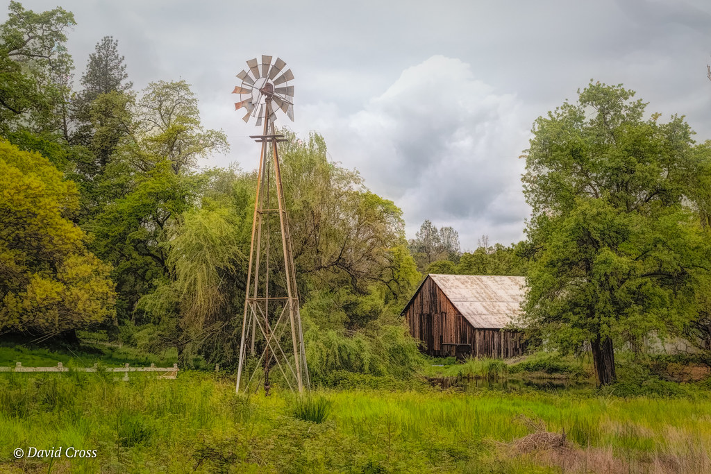
Down on the Farm

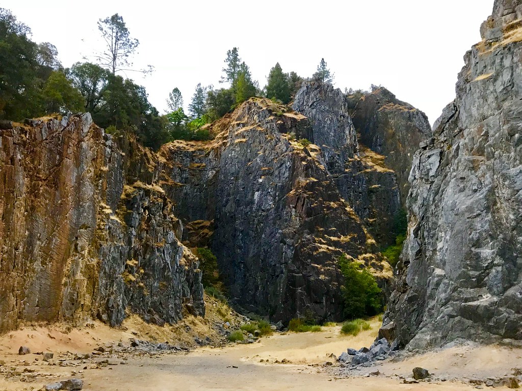
Cool Quarry
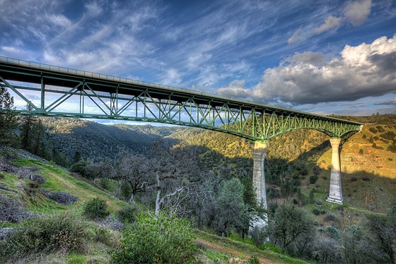
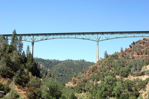
Forresthill Bridge
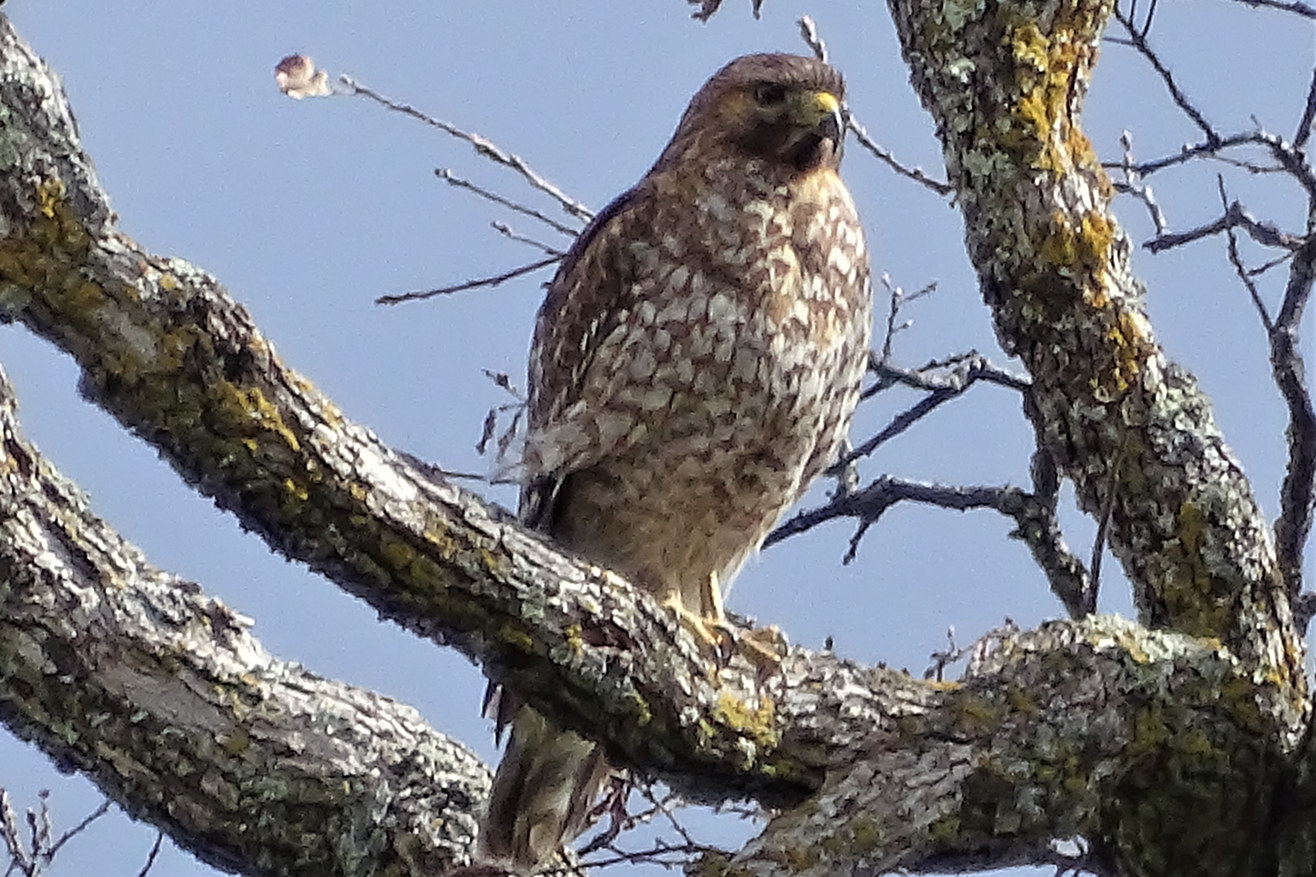
Red-shouldered Hawk (immature)--Buteo lineatus

Clark's Hole

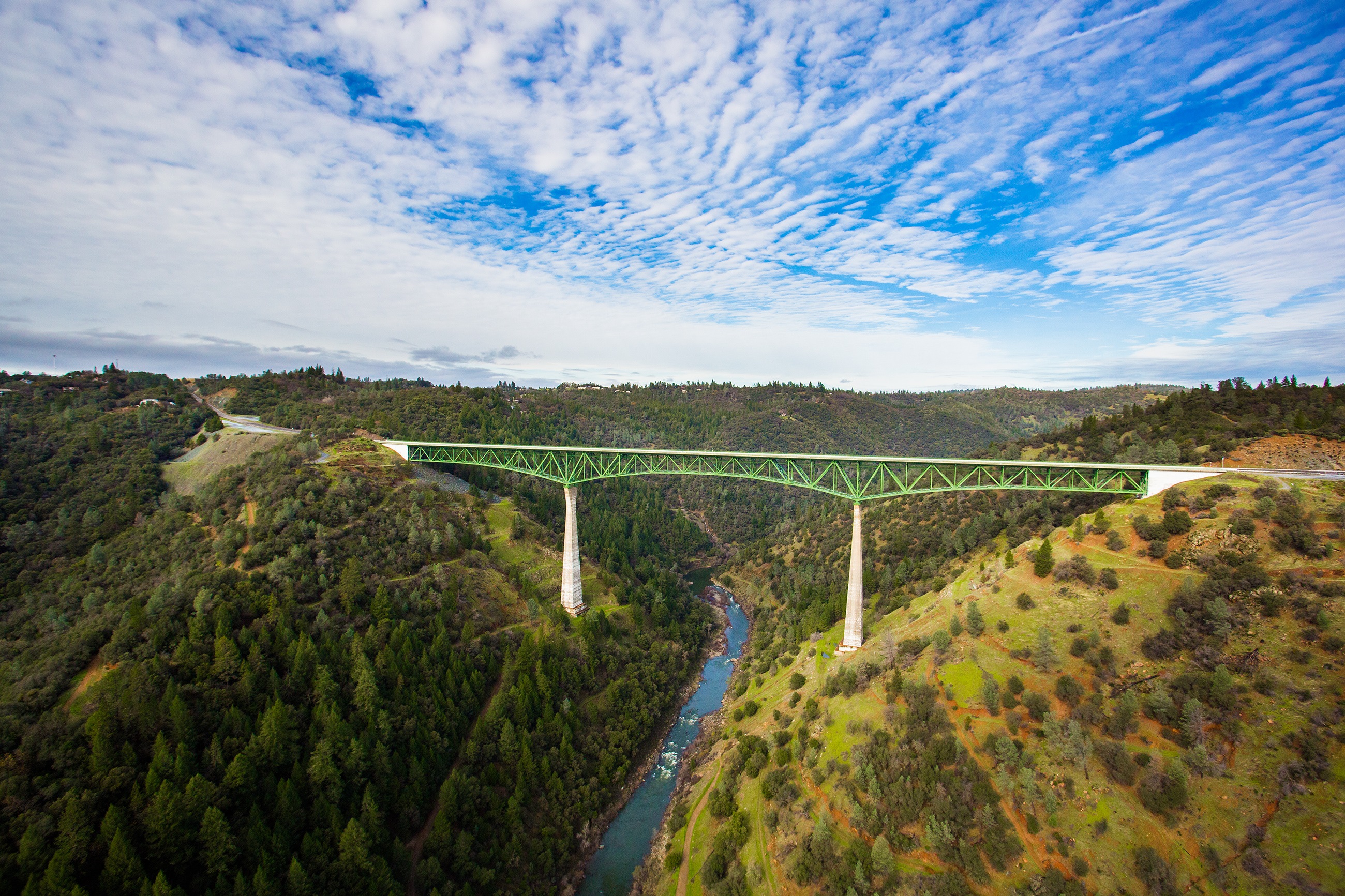
Foresthill Bridge
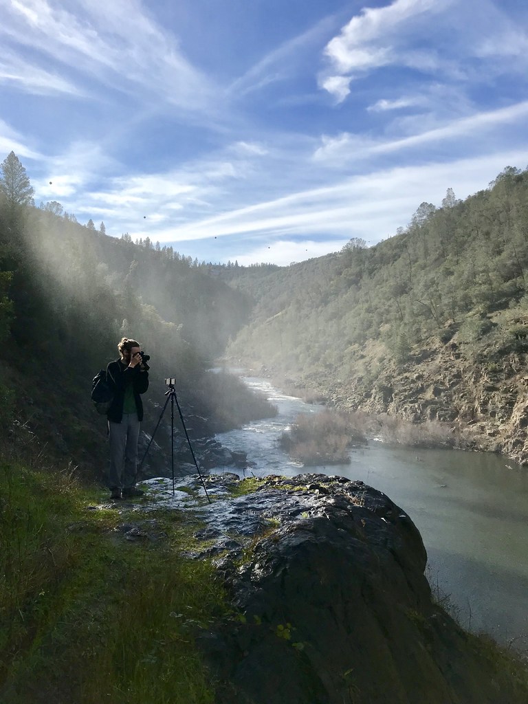
North Fork Photo Op
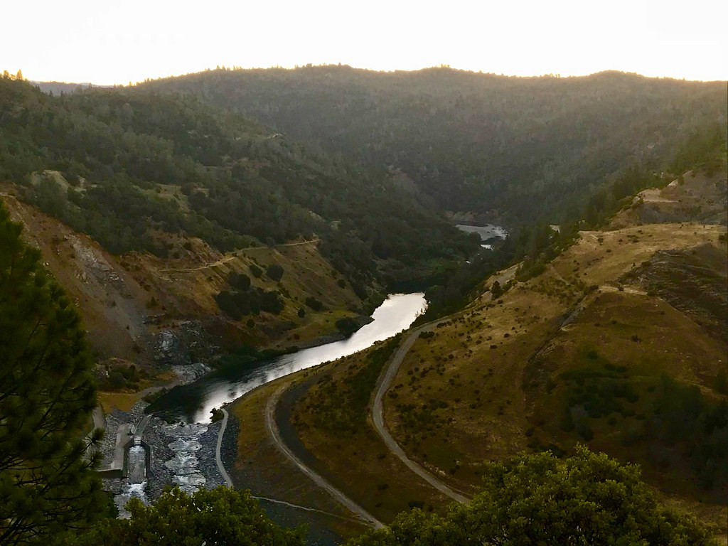
Morning on the American
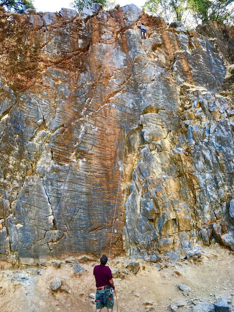
On Belay

Curtis.Tasker-2010.01.01-00.47.36-7441.jpg

moss and mist

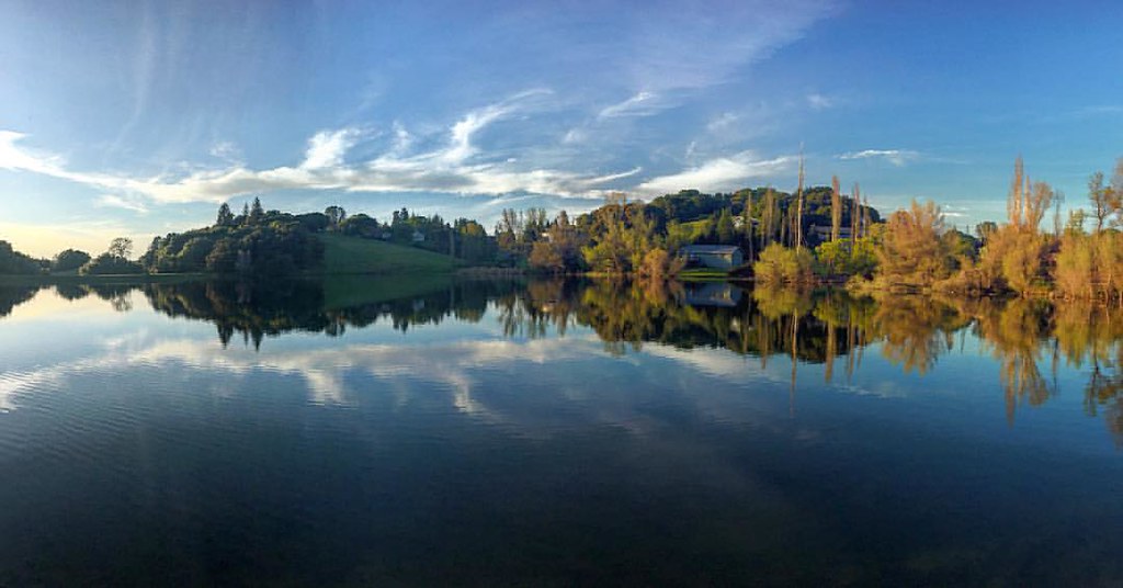
Mirror Image
Not Under Water . . . Thankfully!
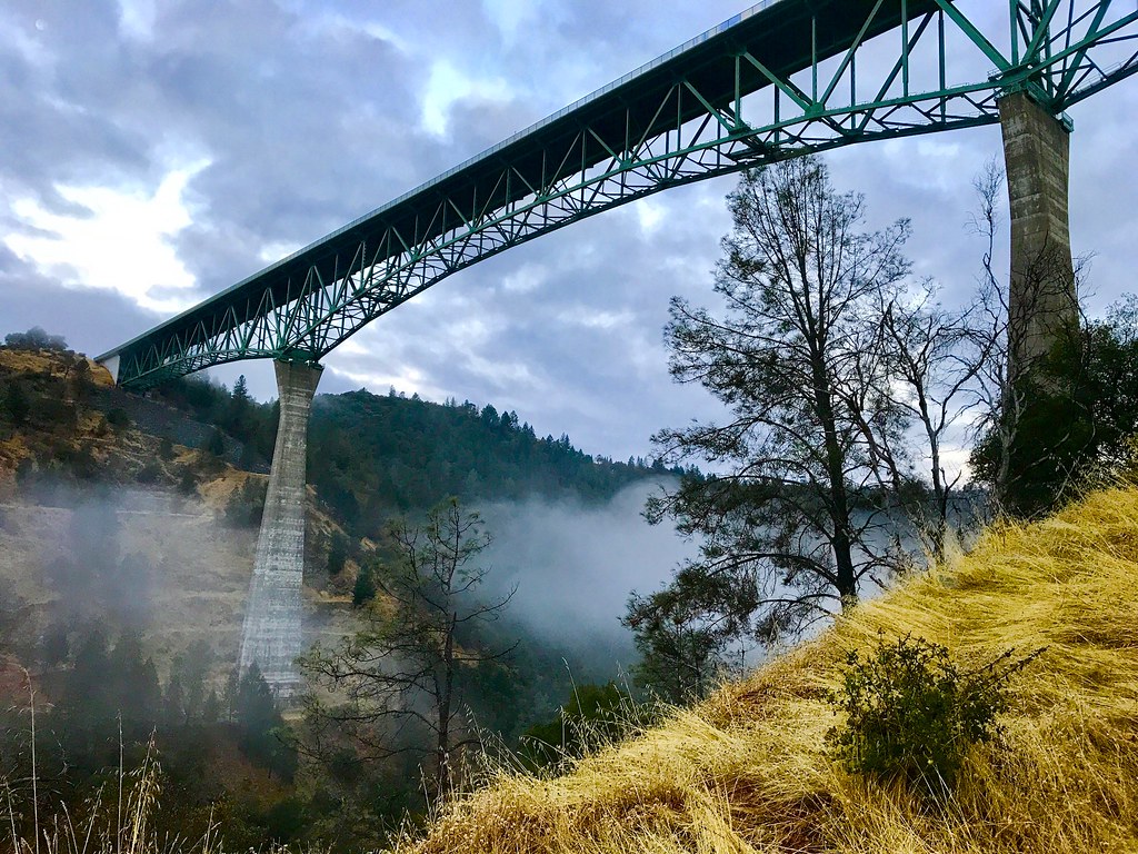
Foresthill Bridge
Quarry Climbing Area
It's going to be a great day
Bryan on the Rocks
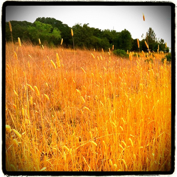
Amber waves
Foresthill Bridge
Topographic Map of Sullivan Dr, Auburn, CA, USA
Find elevation by address:

Places near Sullivan Dr, Auburn, CA, USA:
Gold Country Rv
Masters Court
North Auburn
Auburn Municipal Airport
1630 Tulip Cir
11670 Atwood Rd
Bridle Court
2105 Pear Dr
1345 Live Oak Ln
11512 B Ave
2209 Sombrero Ct
Luther Road
Dry Creek Rd, Auburn, CA, USA
12220 Alta Mesa Dr
857 Matson Dr
13160 Dry Creek Rd
Elders Corner
Dry Creek Road
12300 Westwood Dr
11309 Bosal Cir
Recent Searches:
- Elevation of Leguwa, Nepal
- Elevation of County Rd, Enterprise, AL, USA
- Elevation of Kolchuginsky District, Vladimir Oblast, Russia
- Elevation of Shustino, Vladimir Oblast, Russia
- Elevation of Lampiasi St, Sarasota, FL, USA
- Elevation of Elwyn Dr, Roanoke Rapids, NC, USA
- Elevation of Congressional Dr, Stevensville, MD, USA
- Elevation of Bellview Rd, McLean, VA, USA
- Elevation of Stage Island Rd, Chatham, MA, USA
- Elevation of Shibuya Scramble Crossing, 21 Udagawacho, Shibuya City, Tokyo -, Japan