Elevation of Sombrero Ct, Auburn, CA, USA
Location: United States > California > Placer County > Auburn >
Longitude: -121.10379
Latitude: 38.933057
Elevation: 438m / 1437feet
Barometric Pressure: 96KPa
Elevation Map:
Satellite Map:
Related Photos:
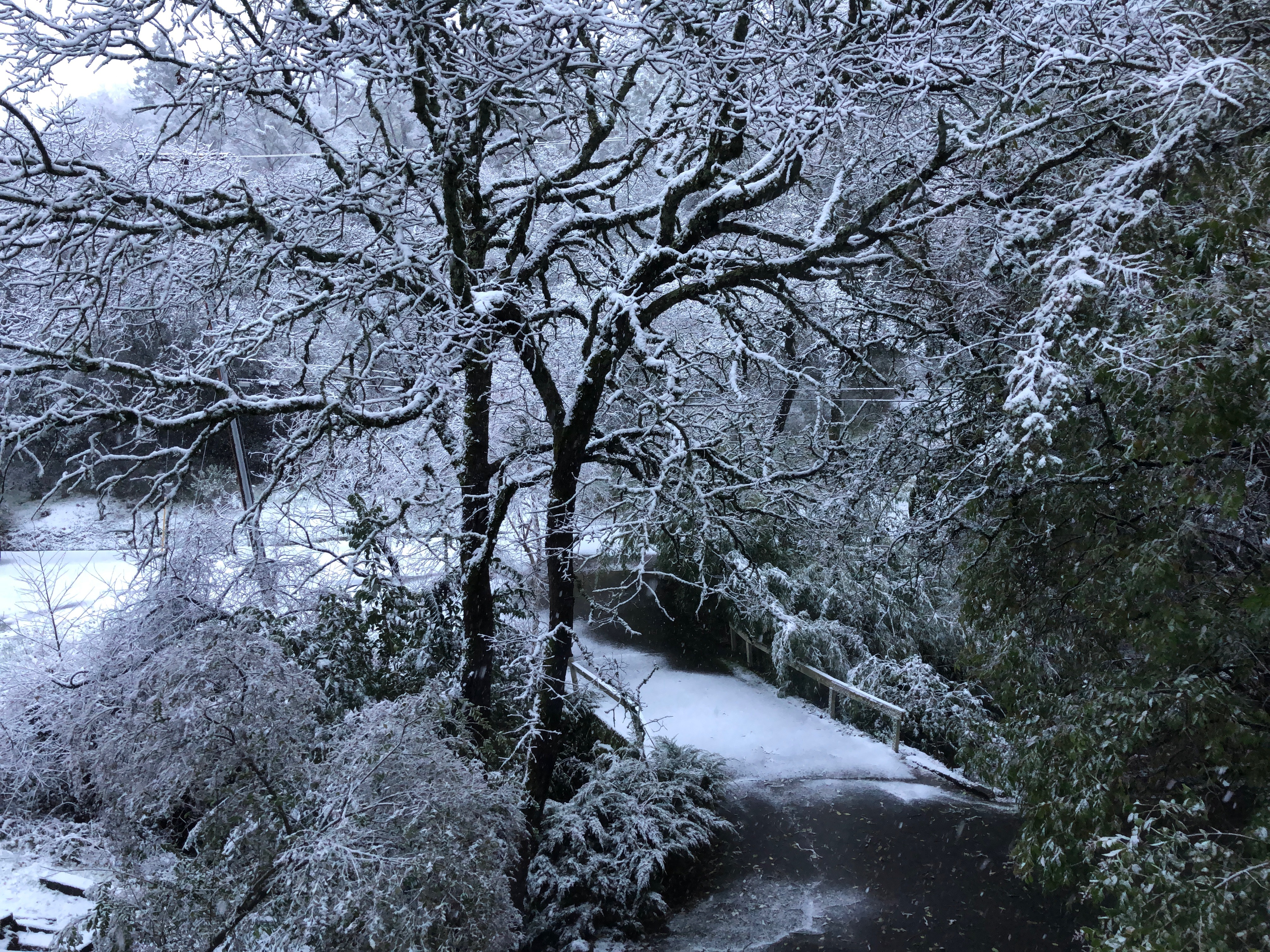
Snow on the ground, Auburn, Placer County, California

HFF Hillside Fence

Close-up view of a Shasta Iris (Iris tenuissima)

Historic Auburn HDR 4115

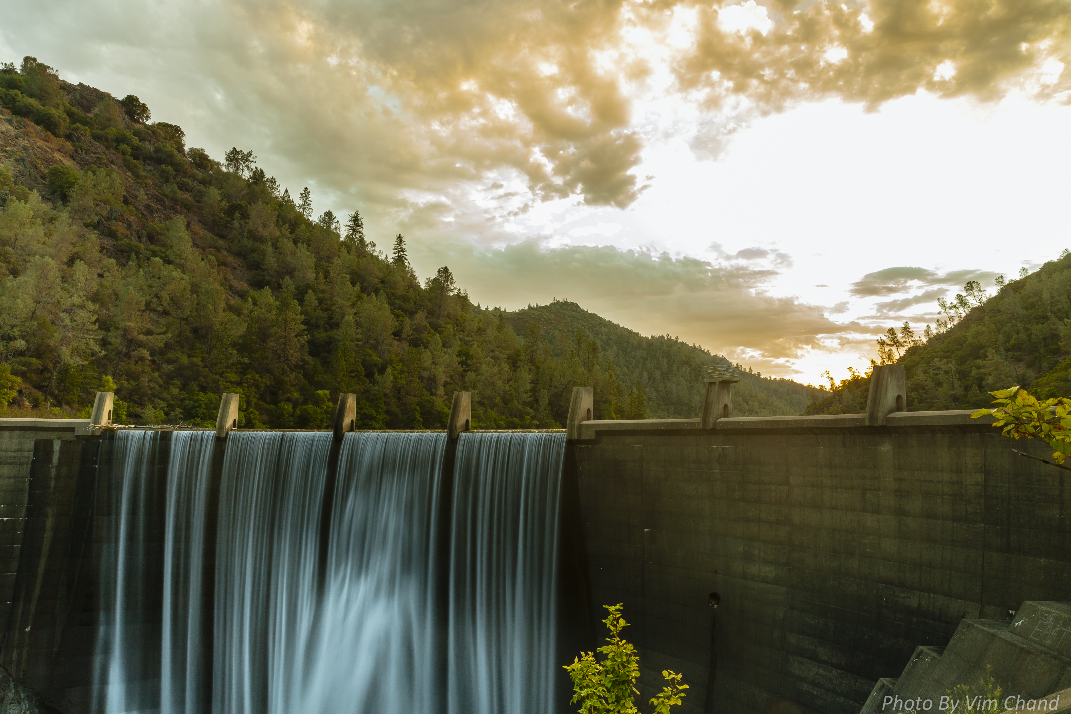
Clementine Dam - California

Clementine Dam - California

Clementine Dam - California

Aerial Views - Clouds above Auburn

American River - Forest Hill, CA
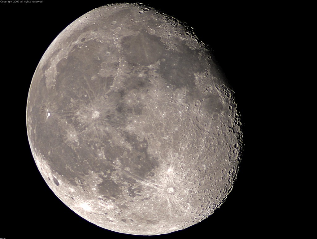
Full Sized Moon and Story 6479

North Fork of American River

Clementine Dam - California

The Old Bayley House 2674

Trumpeter Swans--Cygnus buccinator

Trumpeter Swans--Cygnus buccinator

Grotto of the Falls
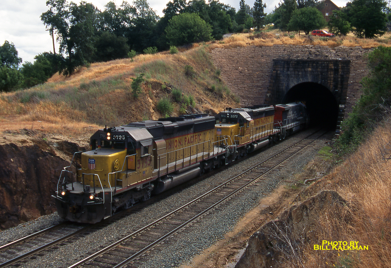
1999 06-03 1007-1 UP SD40-2-3795 W/B Newcastle, CA
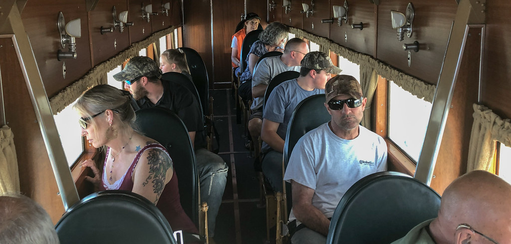
IMG_2729 Inside the 1928 Ford Tri-motor

Fox Sparrow

North Fork American River

Day 932: Auburn_9446d

40 Acres and a Mule

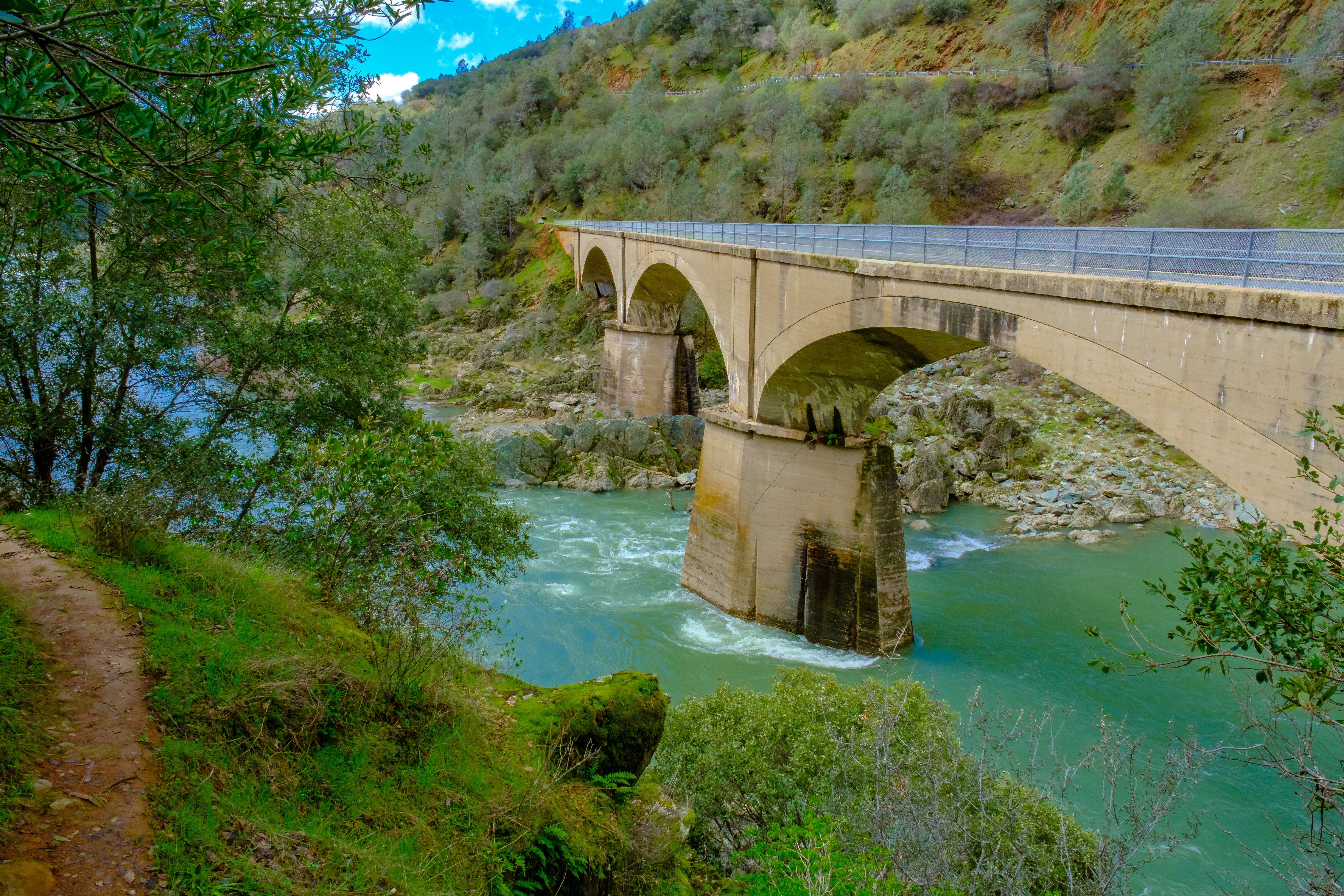
No Hands Bridge

Hidden Falls Regional Park 2016
Lake Clementine Dam

Clementine Dam - California

California Smoke

DSCF0376.jpg
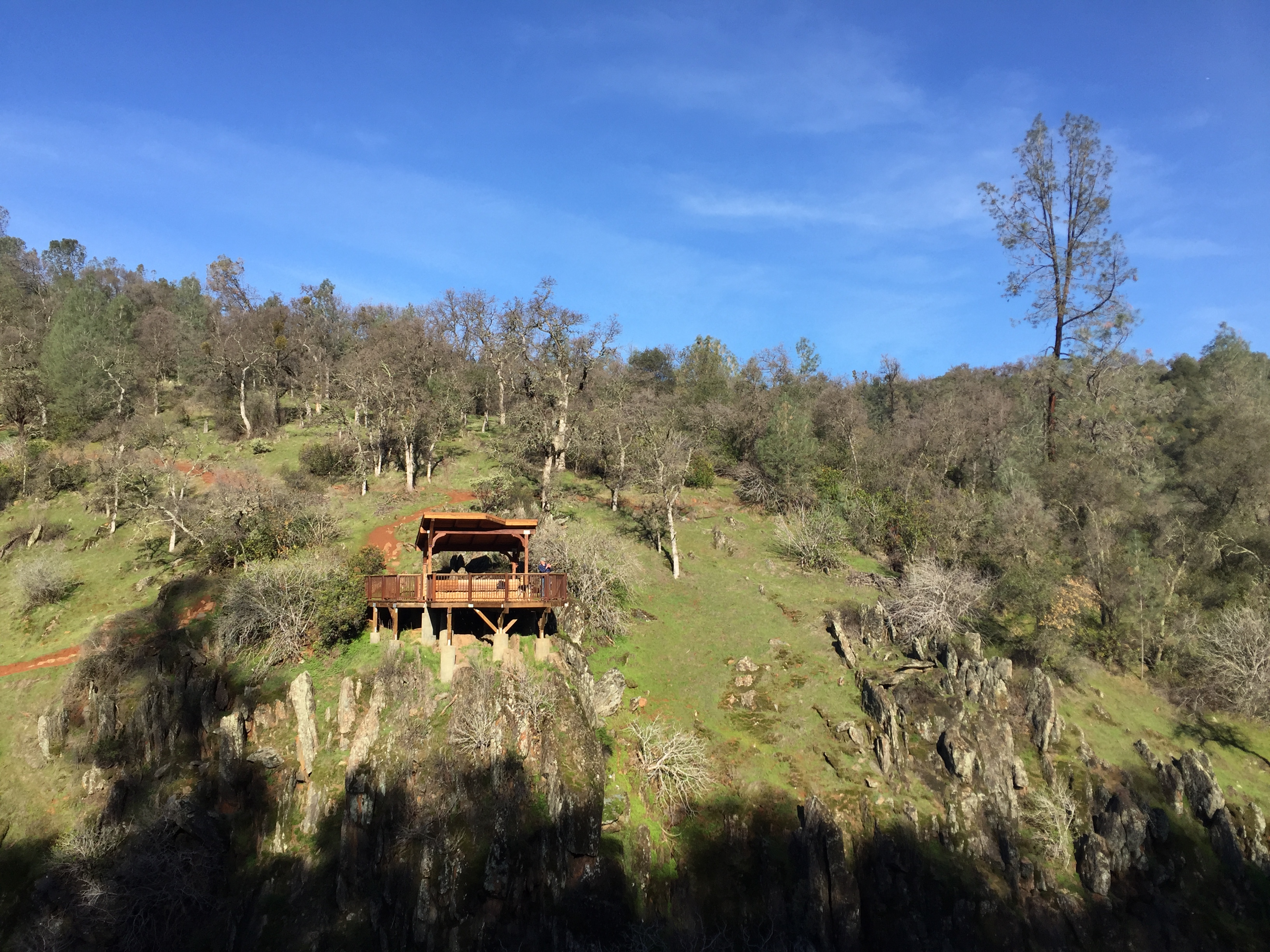
Hidden Falls Regional Park 2016

Welcome Lane 6765

214/365 ~ Hidden Falls Regional Park

Red-shouldered Hawk (immature)--Buteo lineatus

Down on the Farm

Lower Lake Clementine Dam
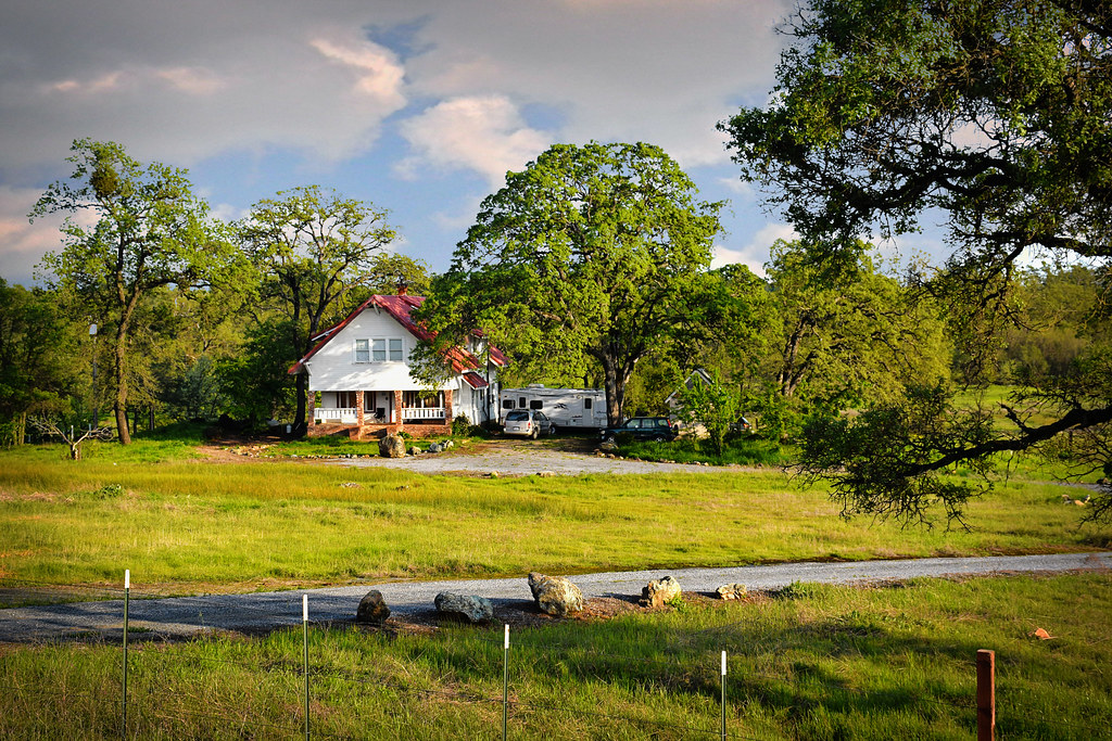
A cool house in Cool, California

No Hands Bridge

Foresthill Bridge
DSCF6238.jpg
Topographic Map of Sombrero Ct, Auburn, CA, USA
Find elevation by address:

Places near Sombrero Ct, Auburn, CA, USA:
Bridle Court
11309 Bosal Cir
11670 Atwood Rd
2105 Pear Dr
2510 Vineyard Dr
1345 Live Oak Ln
North Auburn
1630 Tulip Cir
12220 Alta Mesa Dr
12300 Westwood Dr
Luther Road
I-80 / Sr 65 Interchange Improvement Project
12577 Highland Dr
313 Stone House Rd
10355 Wise Rd
193 Buena Vista St
1580 Lincoln Way
Auburn
139 Agard St
Placer High School
Recent Searches:
- Elevation of Elwyn Dr, Roanoke Rapids, NC, USA
- Elevation of Congressional Dr, Stevensville, MD, USA
- Elevation of Bellview Rd, McLean, VA, USA
- Elevation of Stage Island Rd, Chatham, MA, USA
- Elevation of Shibuya Scramble Crossing, 21 Udagawacho, Shibuya City, Tokyo -, Japan
- Elevation of Jadagoniai, Kaunas District Municipality, Lithuania
- Elevation of Pagonija rock, Kranto 7-oji g. 8"N, Kaunas, Lithuania
- Elevation of Co Rd 87, Jamestown, CO, USA
- Elevation of Tenjo, Cundinamarca, Colombia
- Elevation of Côte-des-Neiges, Montreal, QC H4A 3J6, Canada