Elevation of Bosal Cir, Auburn, CA, USA
Location: United States > California > Placer County > Auburn >
Longitude: -121.10706
Latitude: 38.9319084
Elevation: 426m / 1398feet
Barometric Pressure: 96KPa
Elevation Map:
Satellite Map:
Related Photos:
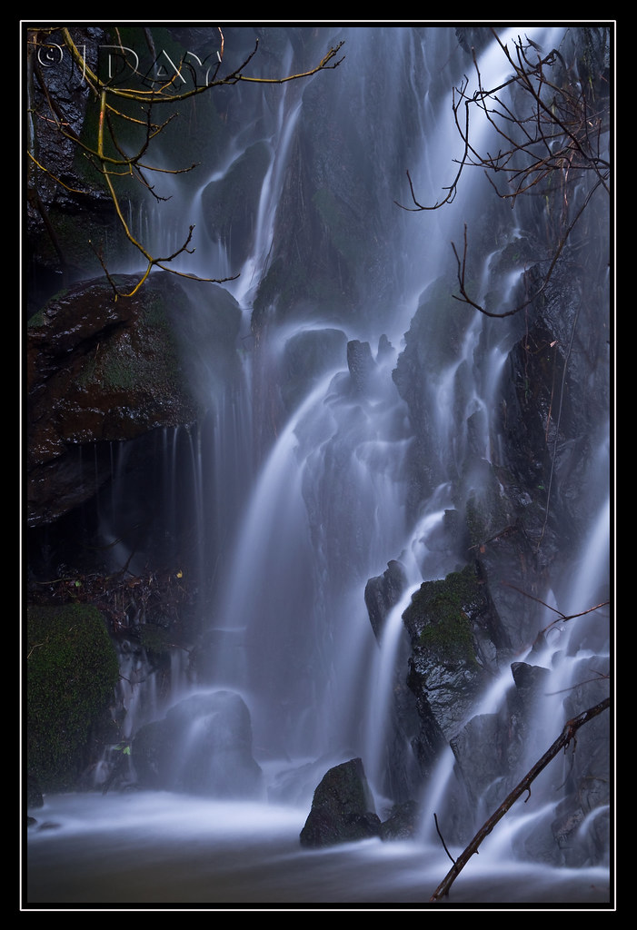
Grotto of the Falls
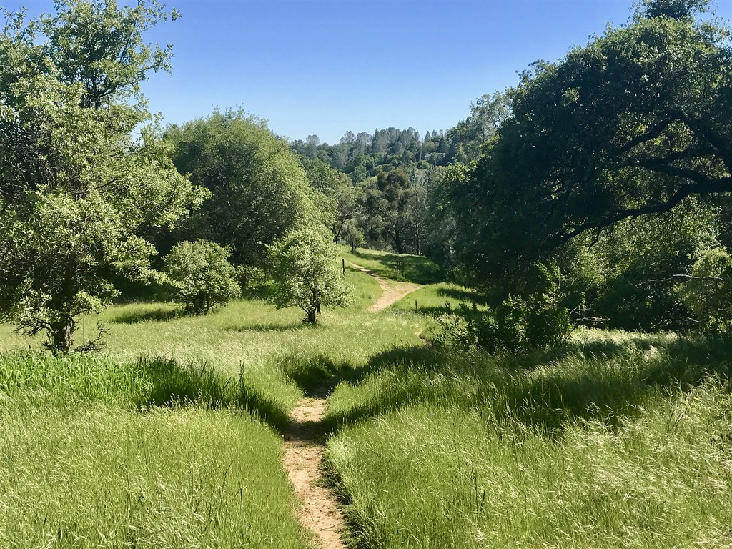
Trail View
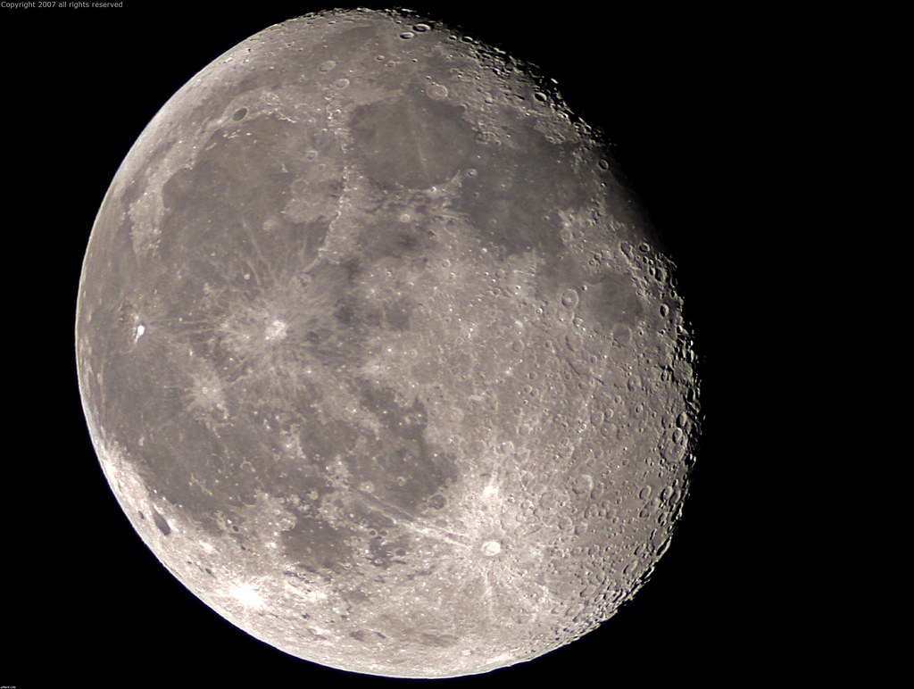
Full Sized Moon and Story 6479

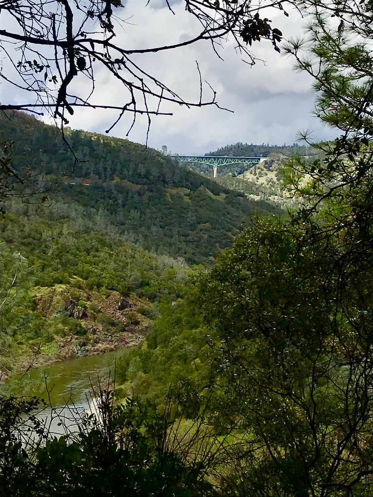
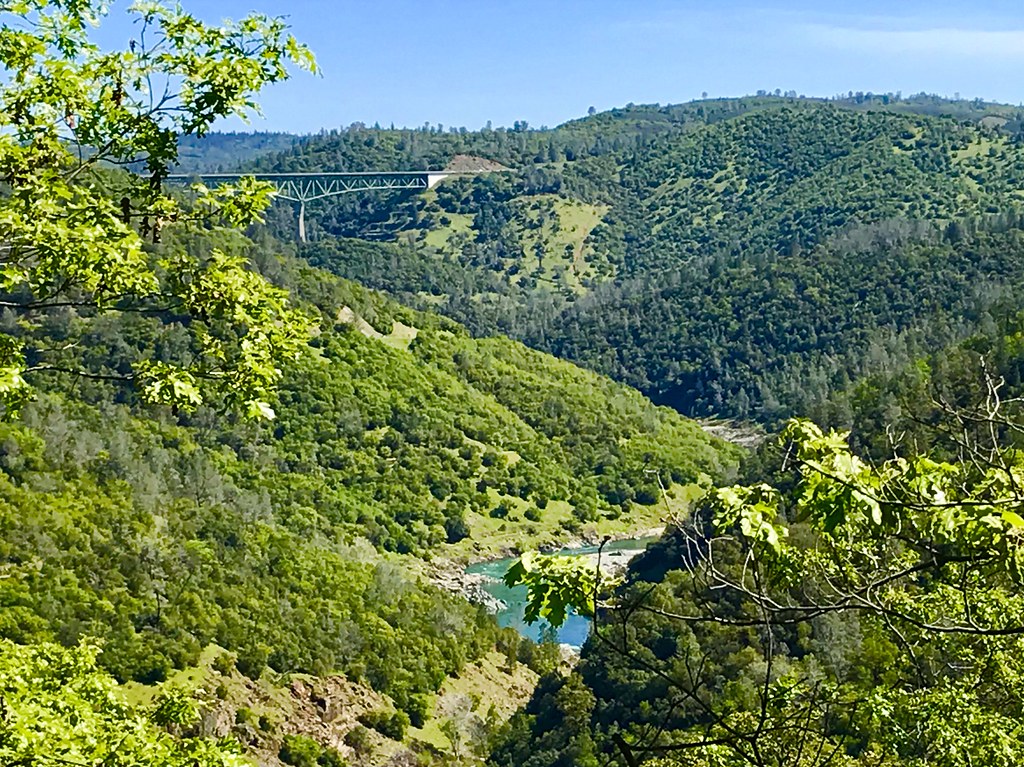
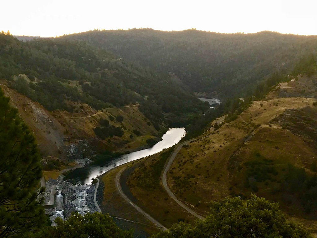
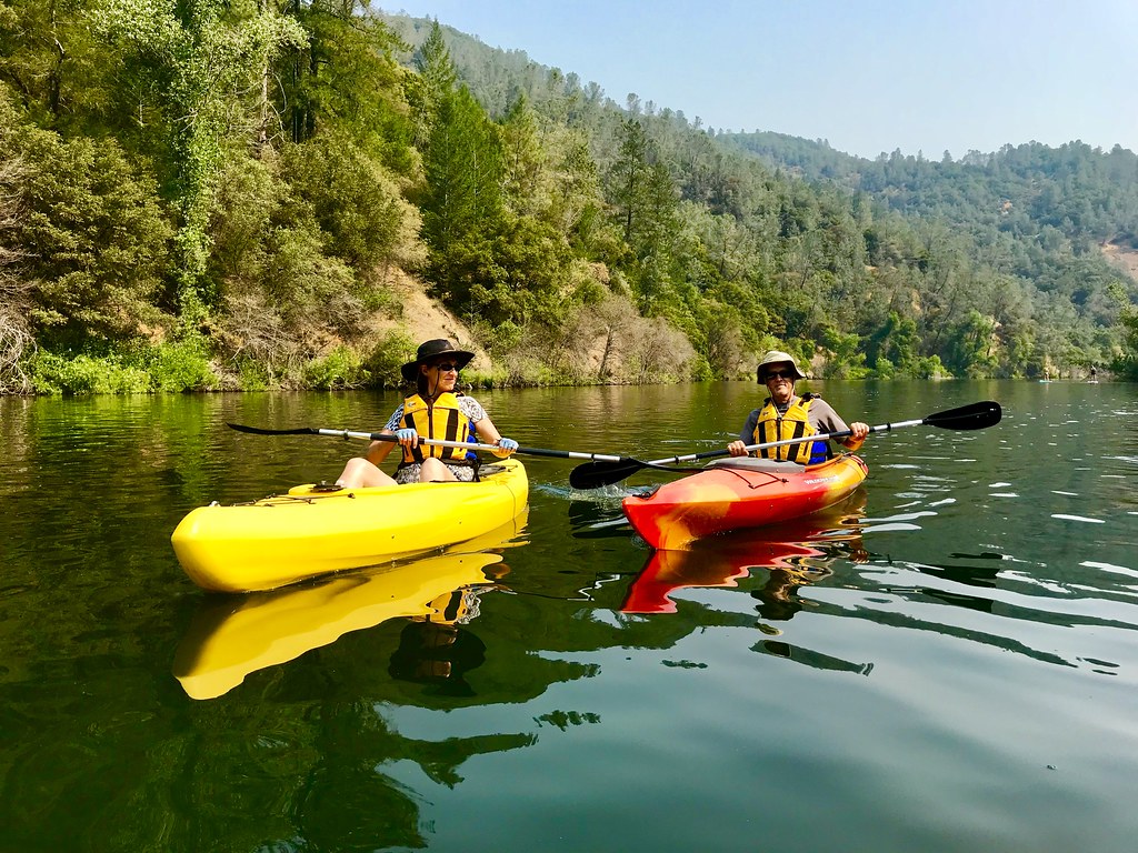
North Fork American River
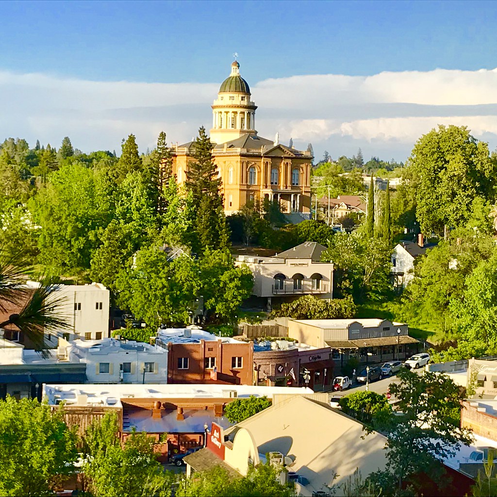
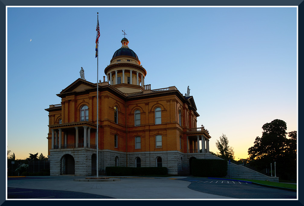
Courthouse View

Stalked by a Mountain Lion
Upstream View
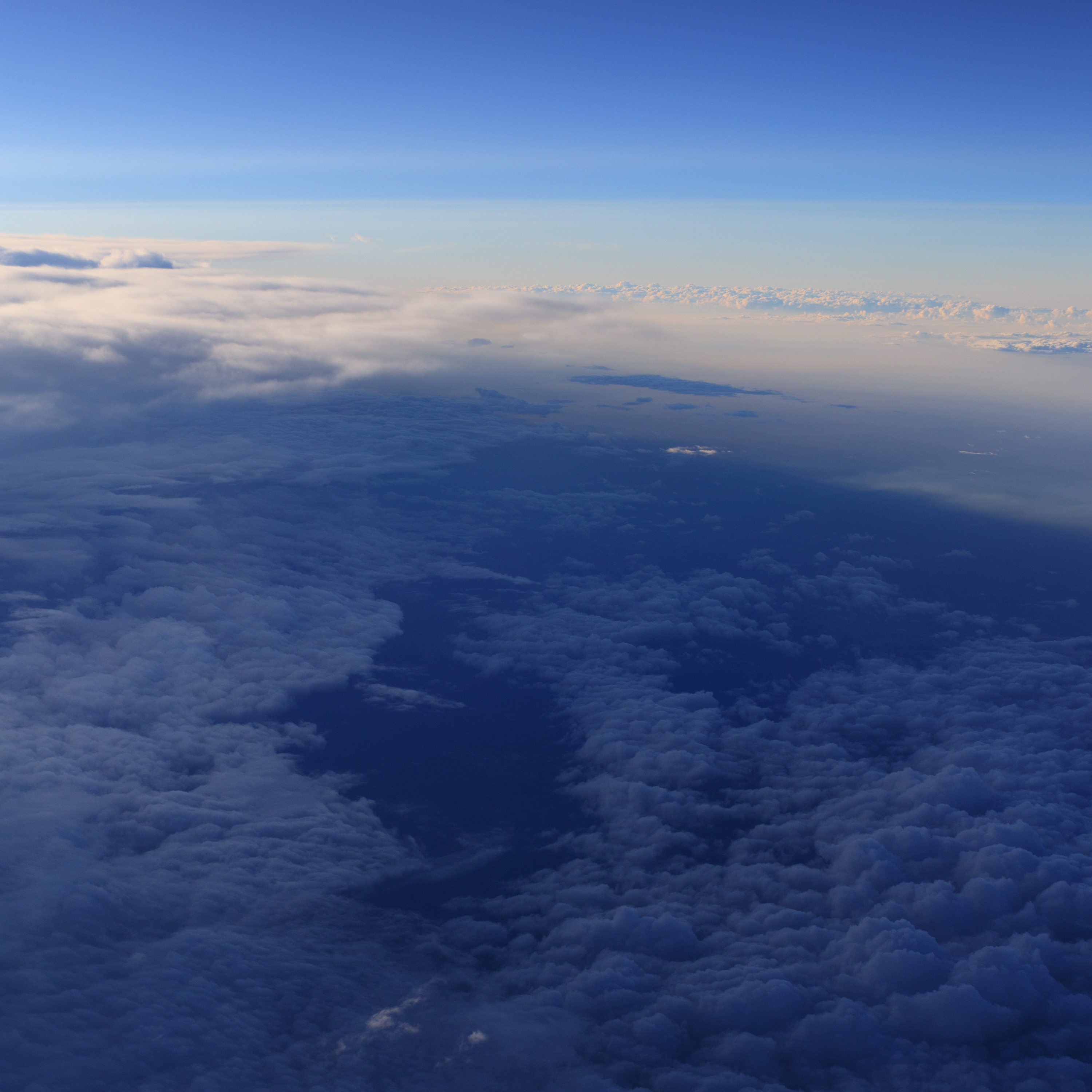
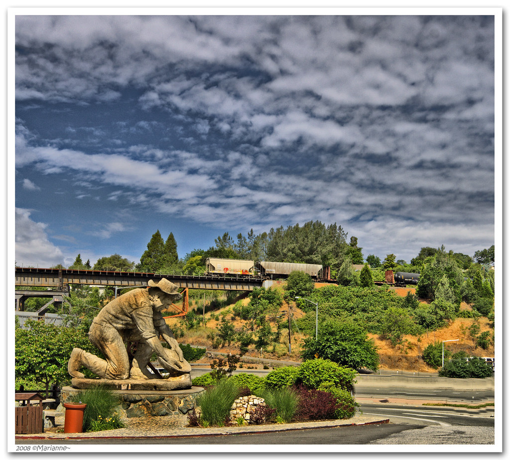
Aerial Views - Clouds above Auburn
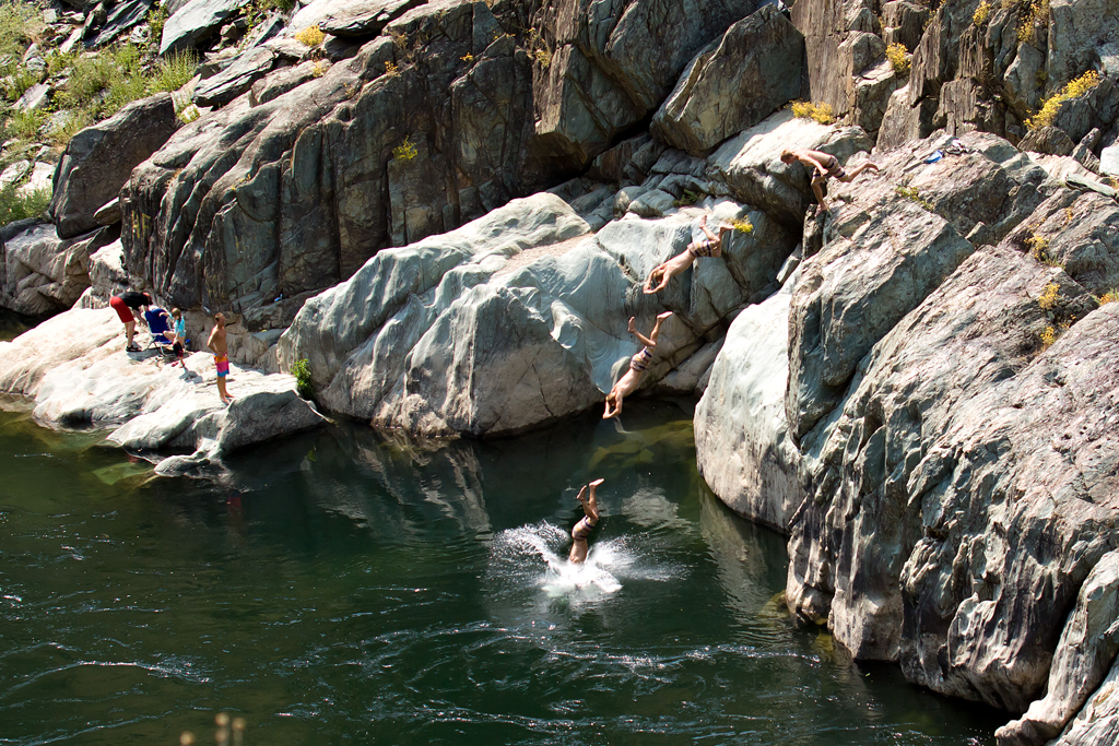
Summer Insanity 2737
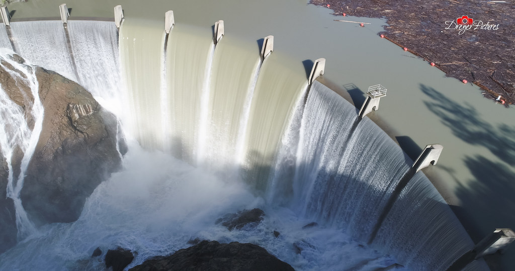
Clementine Dam - California

Fox Sparrow
Cool Cave Diggins

Toyon's View

Surrounding Hills 001.JPG

Historic Auburn HDR 4115

Day 932: Auburn_9446d
Day 925: Auburn_9181d

Quarry Wall Under Forest Moonlight
Canyon View Preserve
From the Gold Country

Best rear view ever
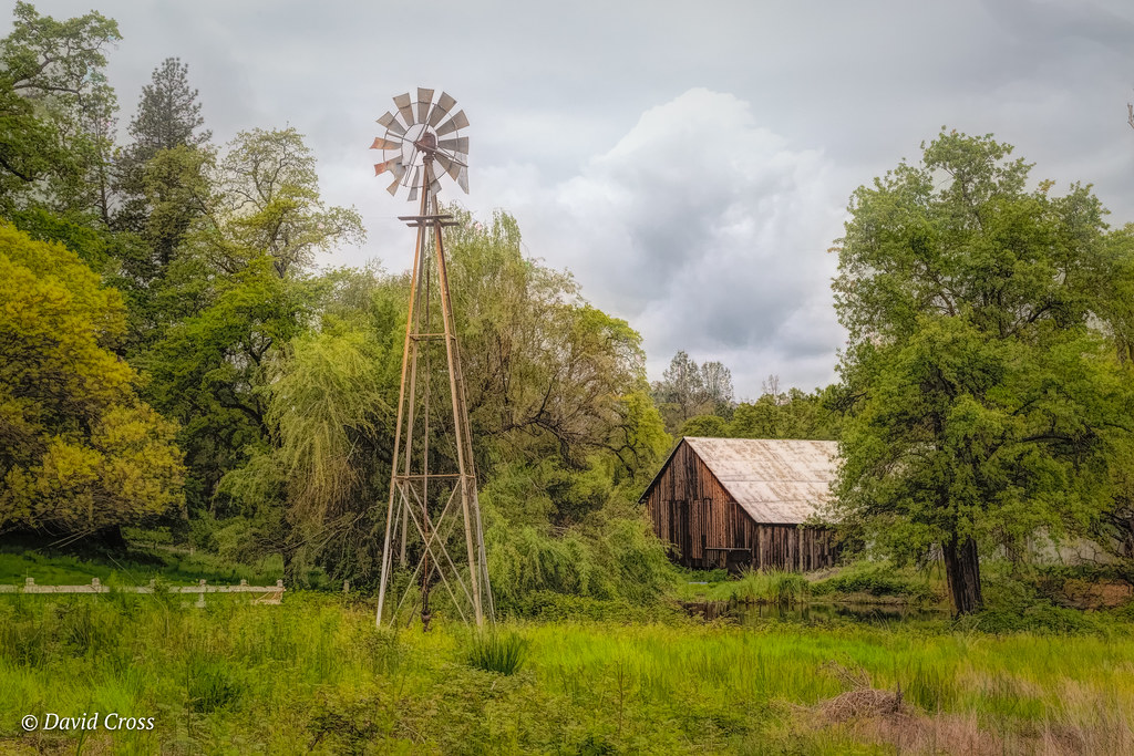
Down on the Farm
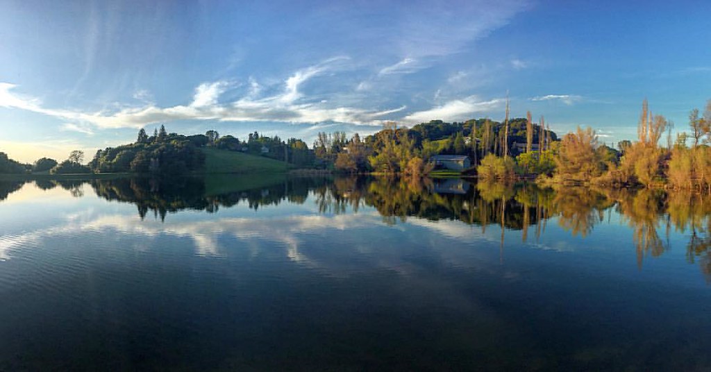
Sometimes you get off the bike and take a hike around the lake... #lakeview #california #perfectday #hiking #trails #homestate #hearthealth #cardio #hikecalifornia #sunshine #peace #quiet #reflection

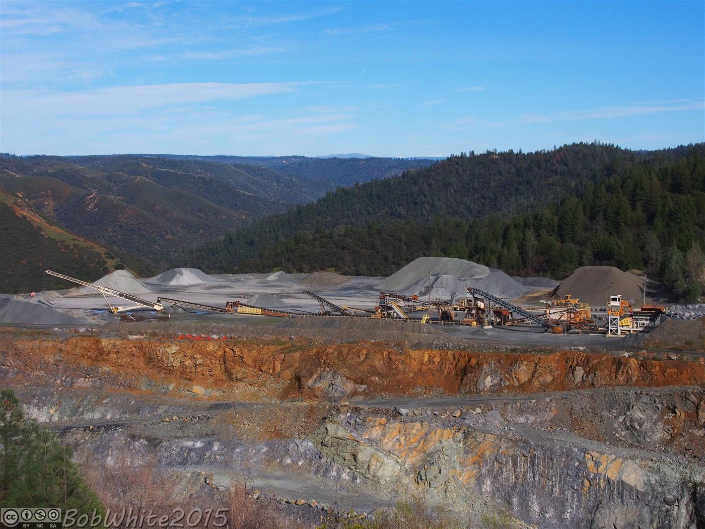
Cool Quarry

Red-shouldered Hawk (immature)--Buteo lineatus
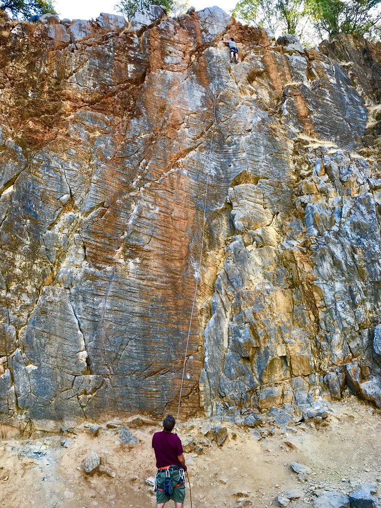
On Belay
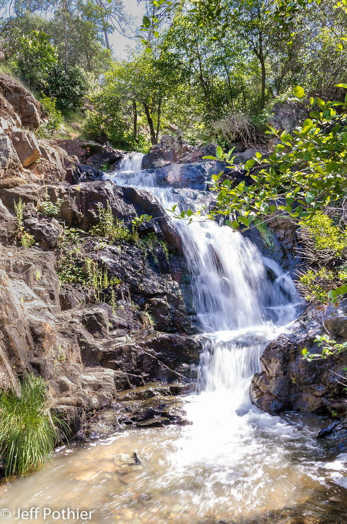
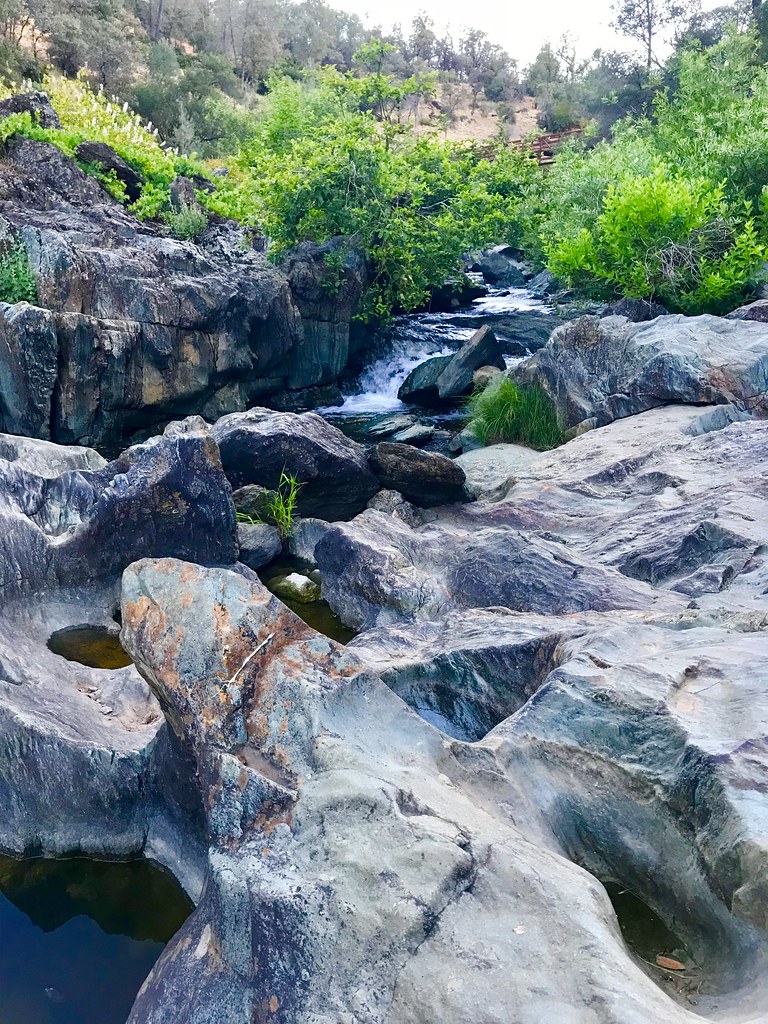
Hidden Falls

Around the Bend

Hidden Falls
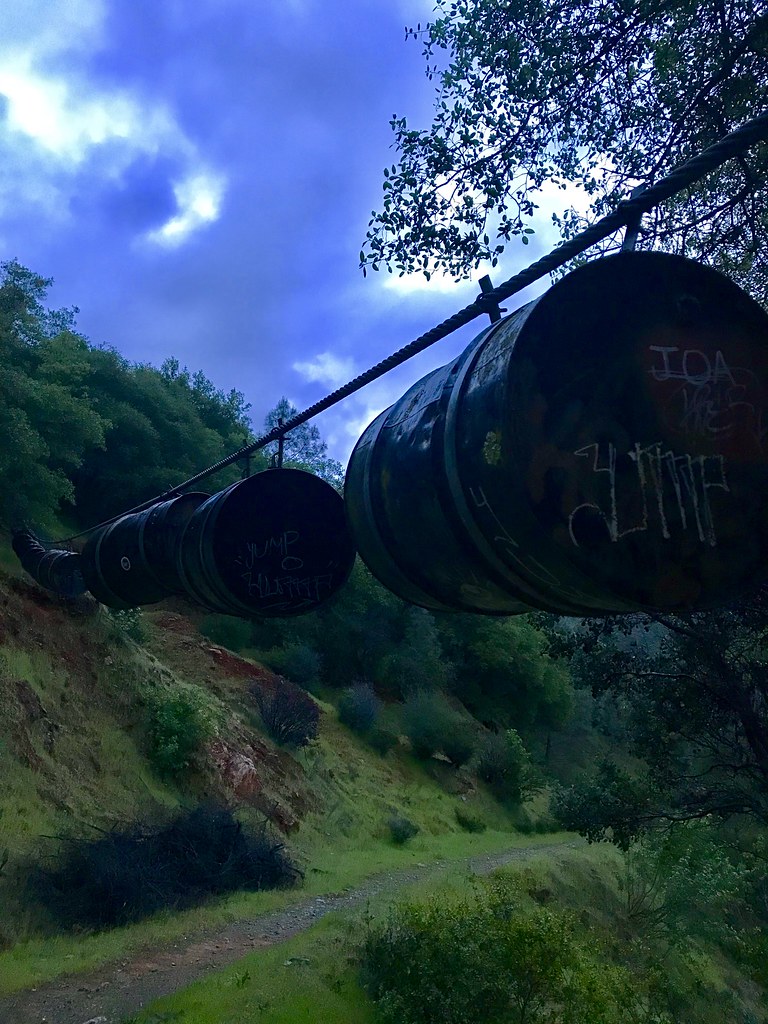
Barrels on the Trail

Blue Breakthrough
Not Under Water . . . Thankfully!
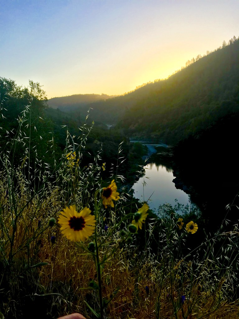
Sunrise on the American
Coon Creek
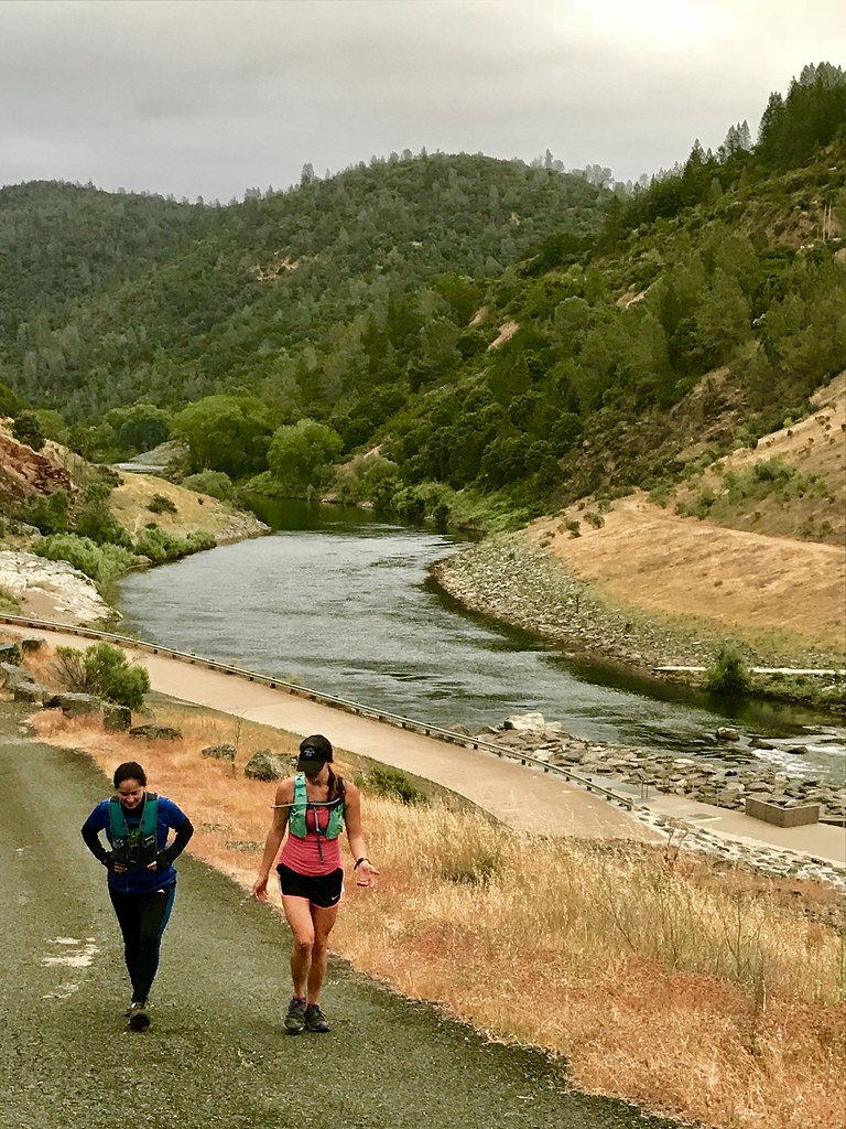
Uphill Conversation
Ken & Carol
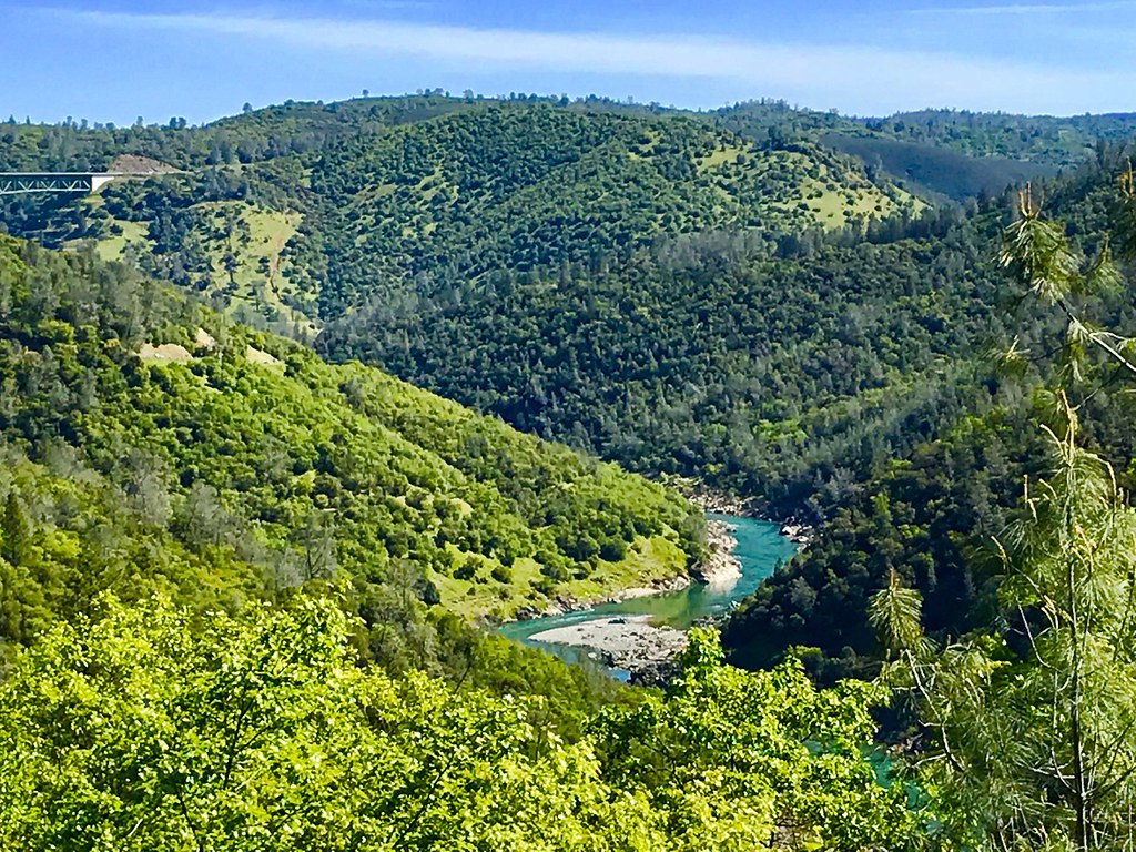
River Glimpse

Foresthill Bridge

Clark's Hole
Topographic Map of Bosal Cir, Auburn, CA, USA
Find elevation by address:

Places near Bosal Cir, Auburn, CA, USA:
2209 Sombrero Ct
Bridle Court
11670 Atwood Rd
2105 Pear Dr
2510 Vineyard Dr
1345 Live Oak Ln
North Auburn
1630 Tulip Cir
12220 Alta Mesa Dr
12300 Westwood Dr
Luther Road
I-80 / Sr 65 Interchange Improvement Project
10355 Wise Rd
313 Stone House Rd
12577 Highland Dr
193 Buena Vista St
1580 Lincoln Way
Auburn
139 Agard St
Placer High School
Recent Searches:
- Elevation of Spaceport America, Co Rd A, Truth or Consequences, NM, USA
- Elevation of Warwick, RI, USA
- Elevation of Fern Rd, Whitmore, CA, USA
- Elevation of 62 Abbey St, Marshfield, MA, USA
- Elevation of Fernwood, Bradenton, FL, USA
- Elevation of Felindre, Swansea SA5 7LU, UK
- Elevation of Leyte Industrial Development Estate, Isabel, Leyte, Philippines
- Elevation of W Granada St, Tampa, FL, USA
- Elevation of Pykes Down, Ivybridge PL21 0BY, UK
- Elevation of Jalan Senandin, Lutong, Miri, Sarawak, Malaysia