Elevation of Auburn Municipal Airport, New Airport Rd, Auburn, CA, USA
Location: United States > California > Placer County > Auburn >
Longitude: -121.08158
Latitude: 38.9531479
Elevation: 457m / 1499feet
Barometric Pressure: 96KPa
Elevation Map:
Satellite Map:
Related Photos:
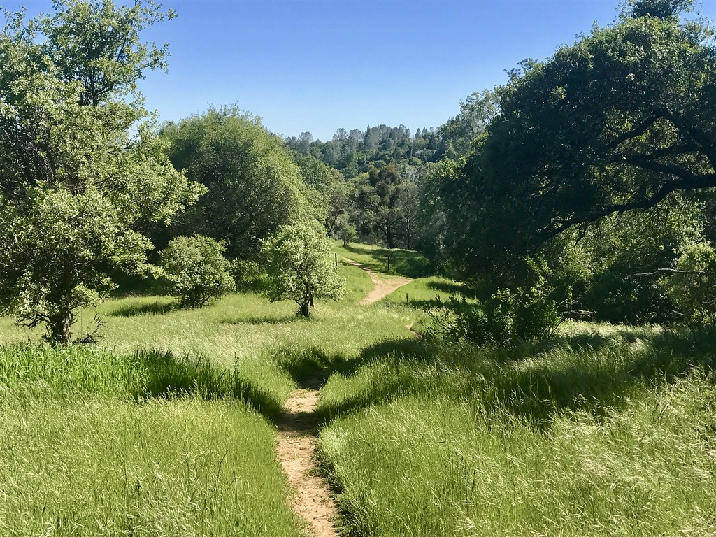
Trail View
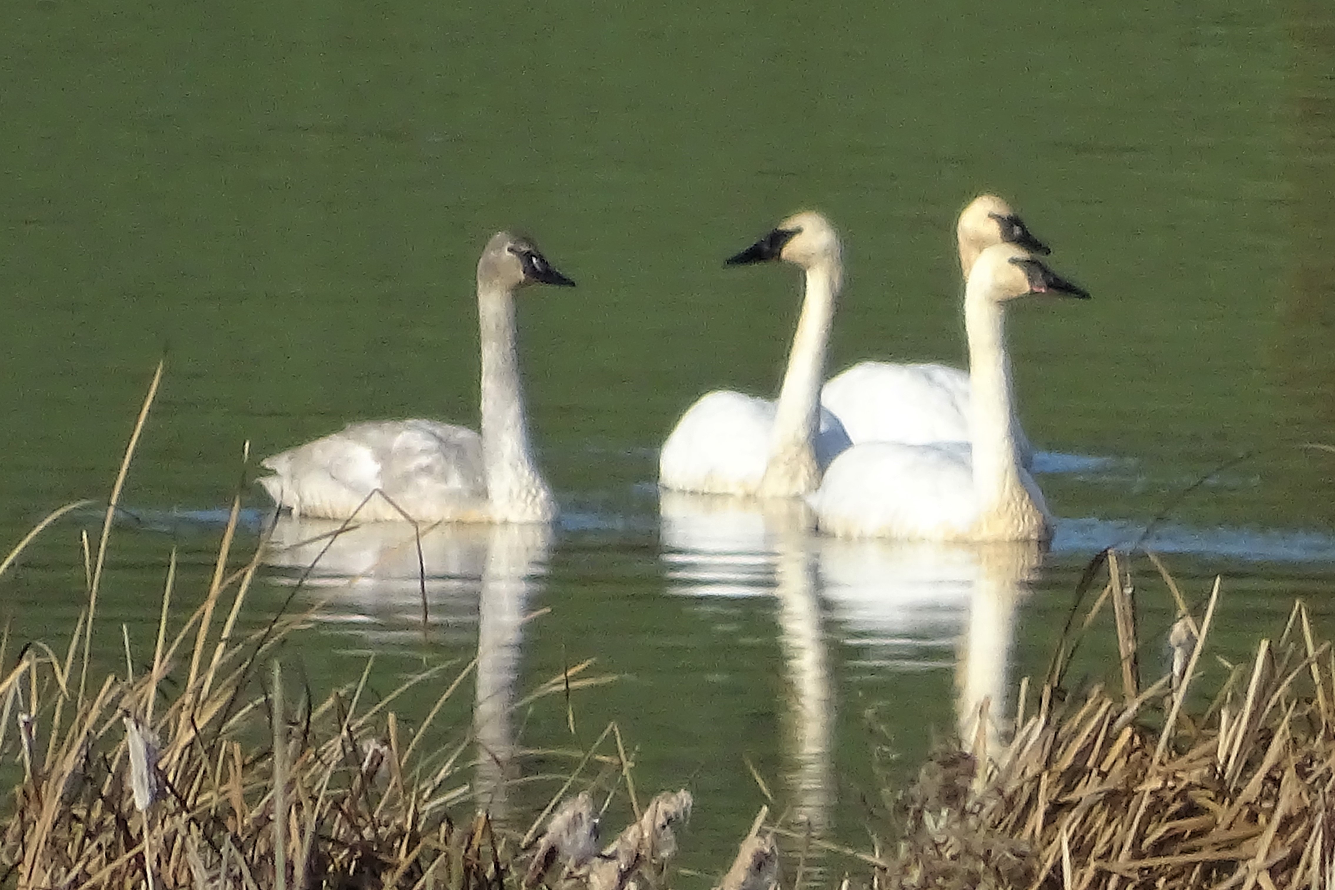
Trumpeter Swans--Cygnus buccinator
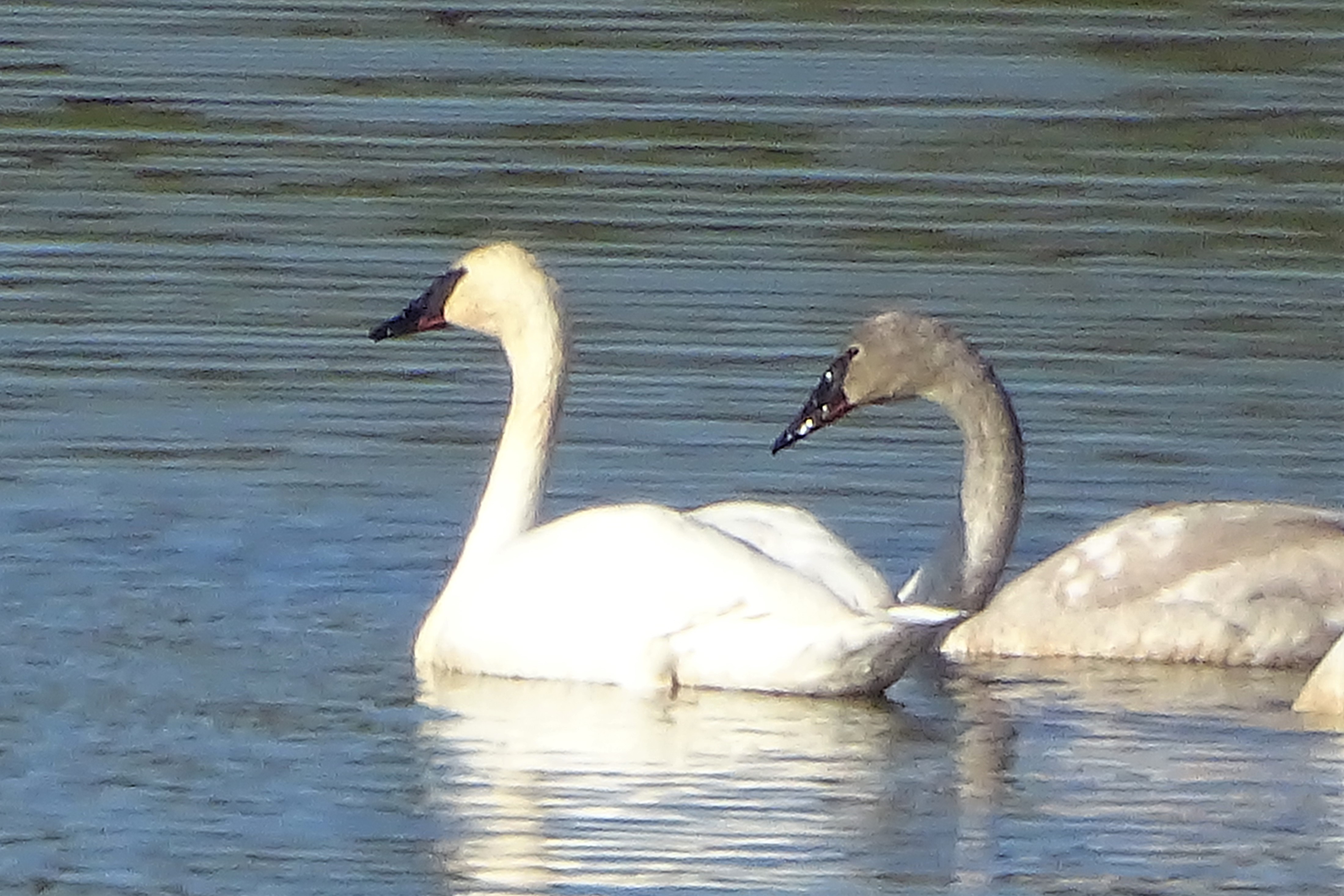
Trumpeter Swans--Cygnus buccinator

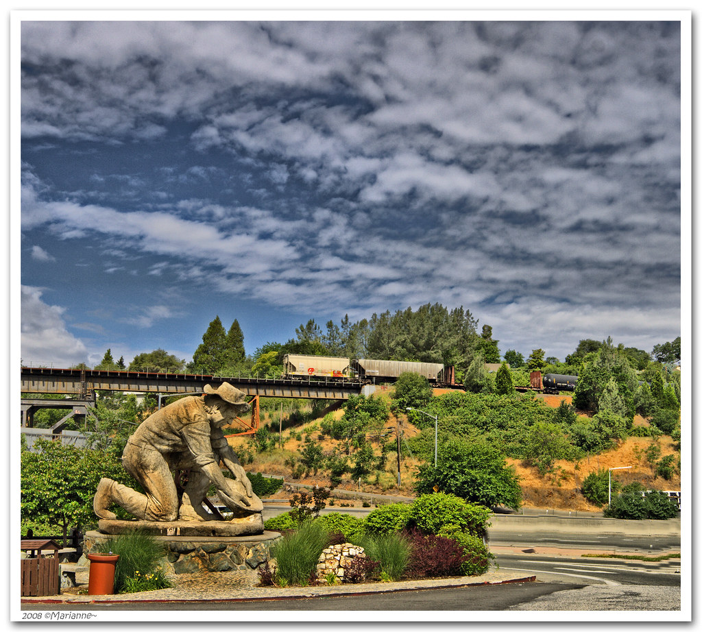
Historic Auburn HDR 4115
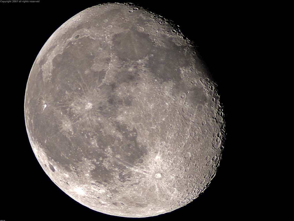
Full Sized Moon and Story 6479

Stalked by a Mountain Lion

Quarry Wall Under Forest Moonlight

Fox Sparrow
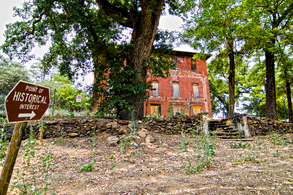
The Old Bayley House 2674

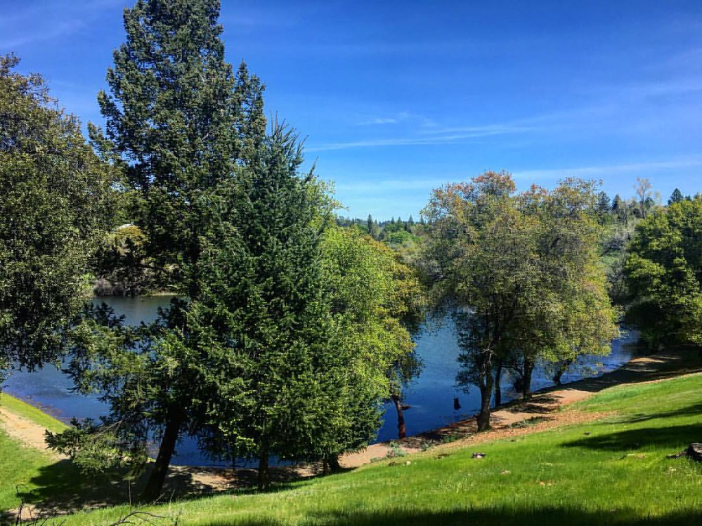
Folsom Lake - Rattlesnake Bar

California Quail
Blue Ribbon

Day 932: Auburn_9446d

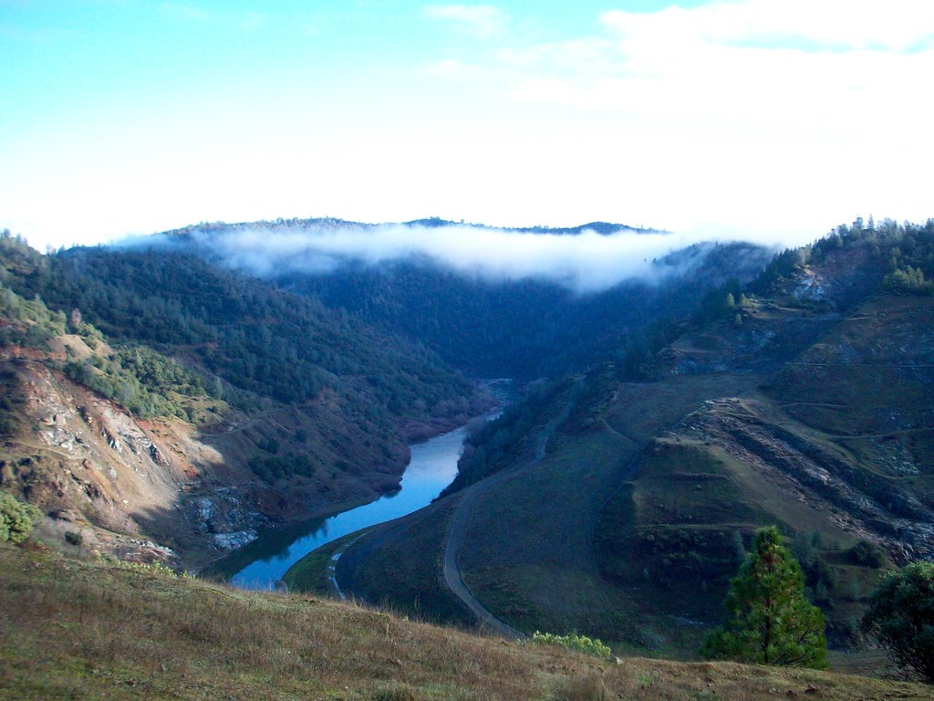
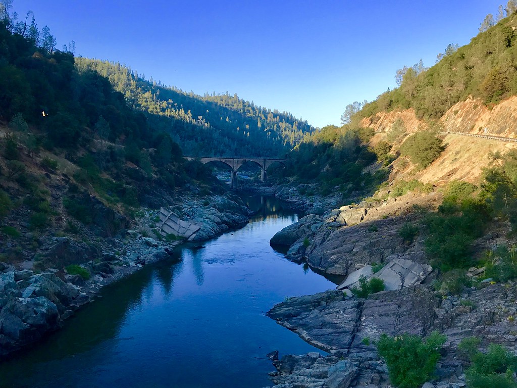
North Fork American River
Green. Blue. Good book. Good view. Perfect weather. #california #sunshine #view #peace #quiet

Day 925: Auburn_9181d
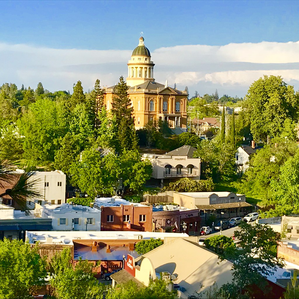
Courthouse View
Canyon View Preserve
From the Gold Country

The Auburn Courthouse
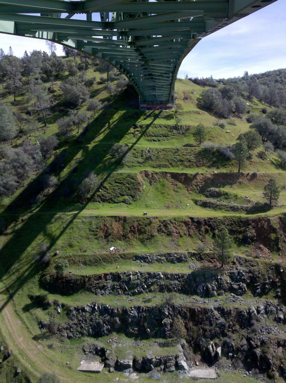
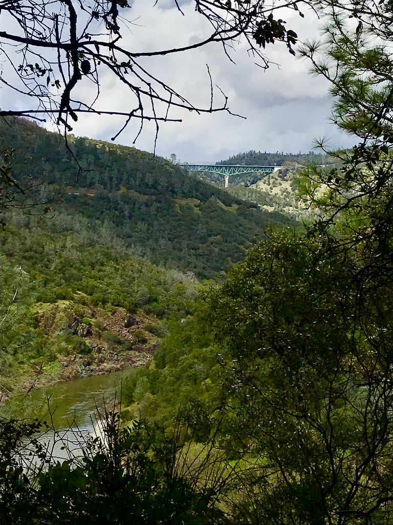
View towards east abutment
Sometimes you get off the bike and take a hike around the lake... #lakeview #california #perfectday #hiking #trails #homestate #hearthealth #cardio #hikecalifornia #sunshine #peace #quiet #reflection
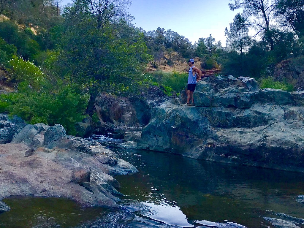
Bryan on the Rocks
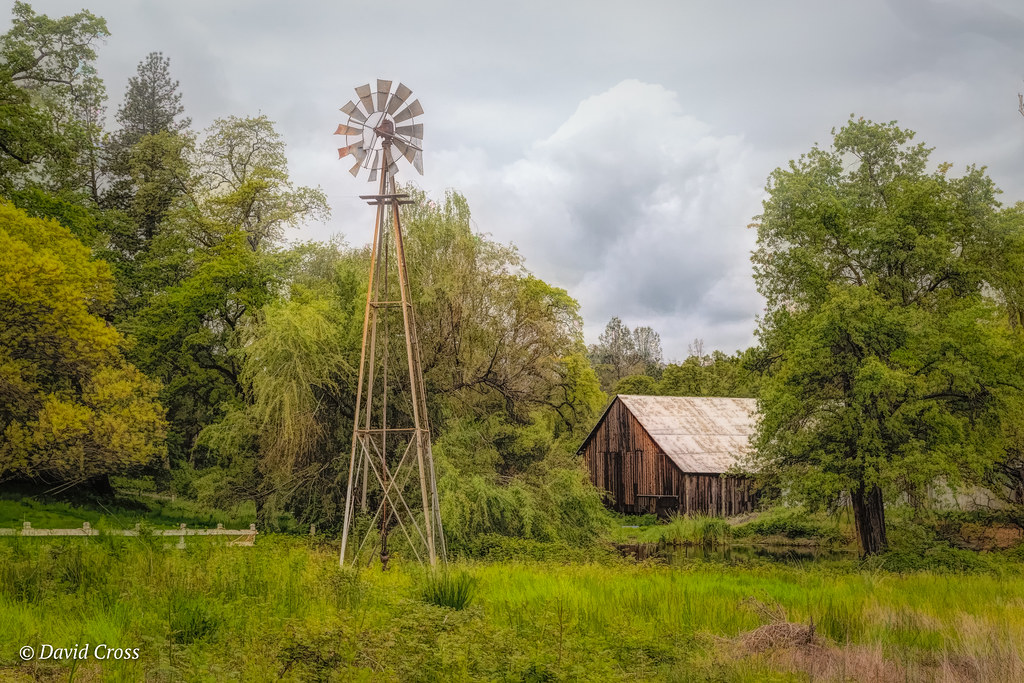
Down on the Farm

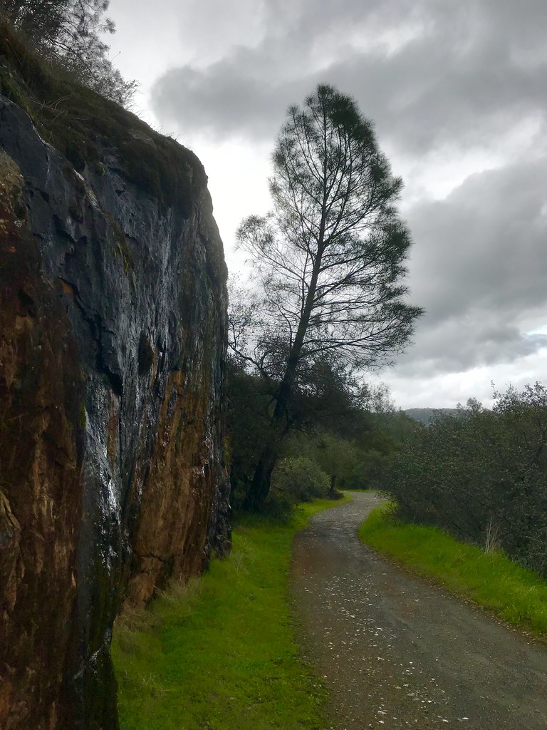
Cool Quarry
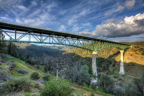
Forresthill Bridge

Red-shouldered Hawk (immature)--Buteo lineatus

Clark's Hole
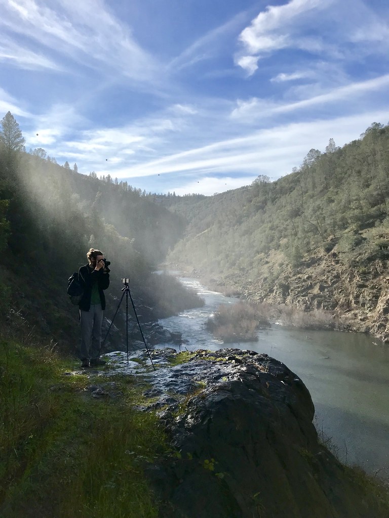
North Fork Photo Op
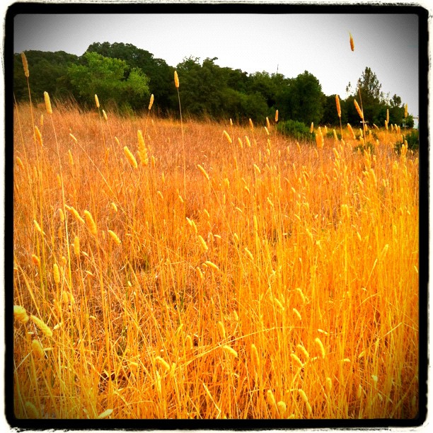
Amber waves

Foresthill Bridge
Morning on the American

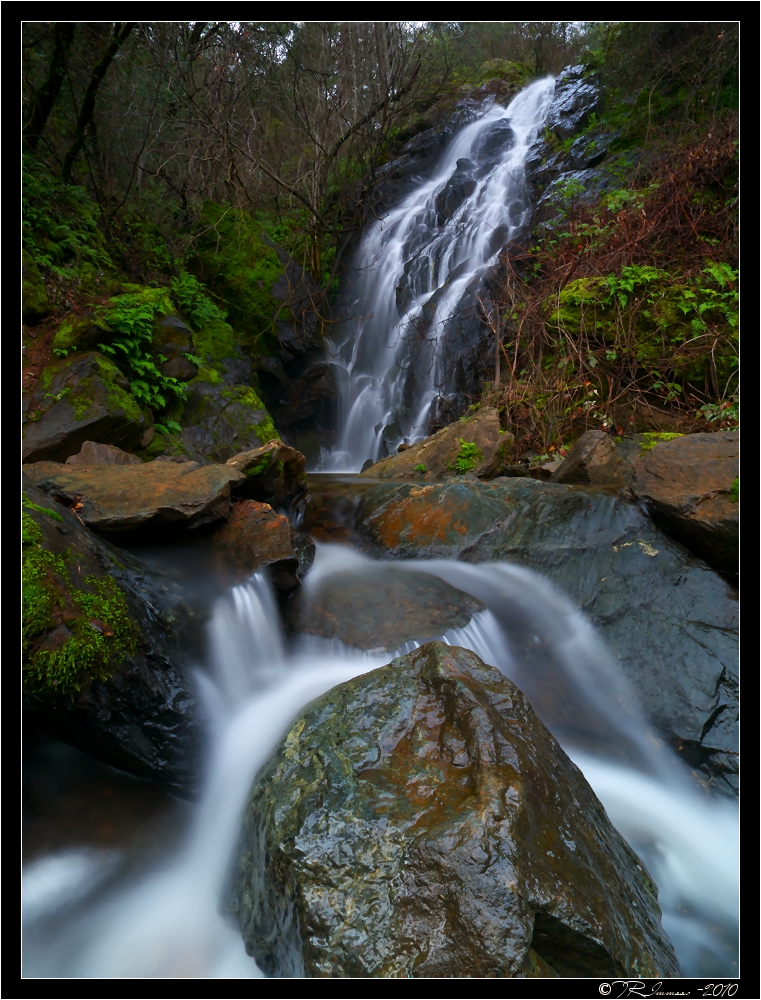
Hidden Falls
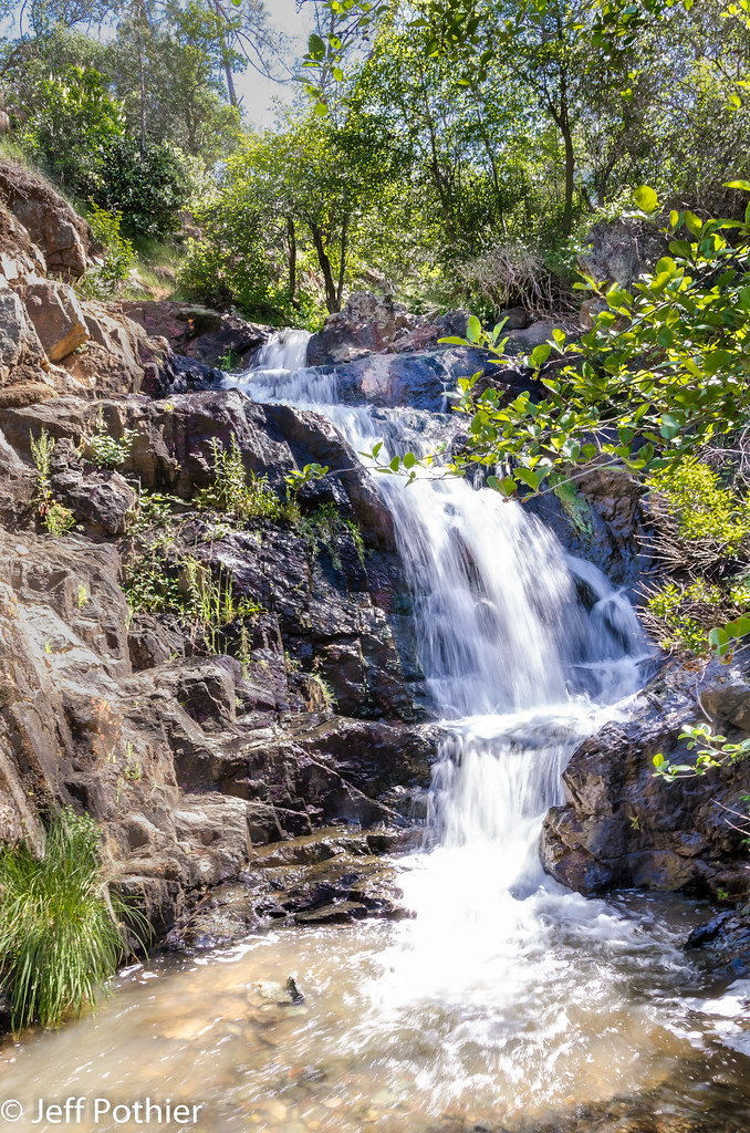
Hidden Falls
Foresthill Bridge
Black Hole of Calcutta
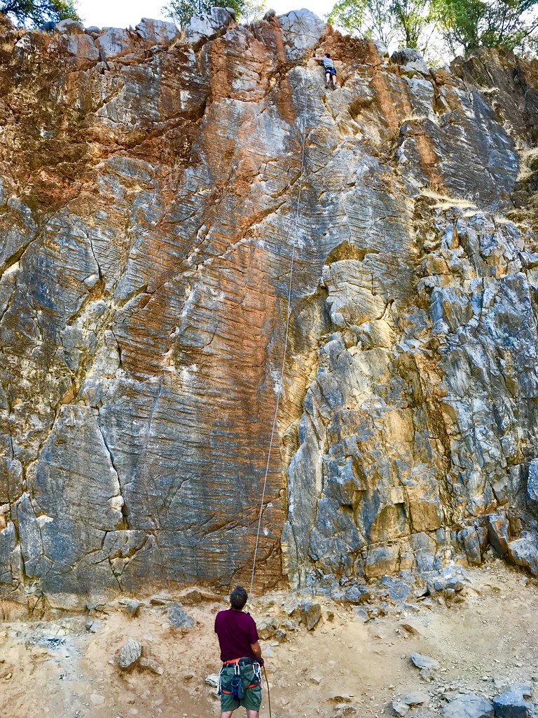
On Belay
Trail Tree

Blue Breakthrough
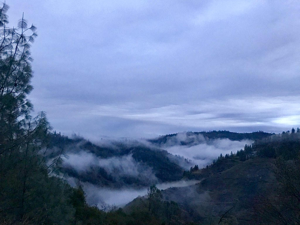
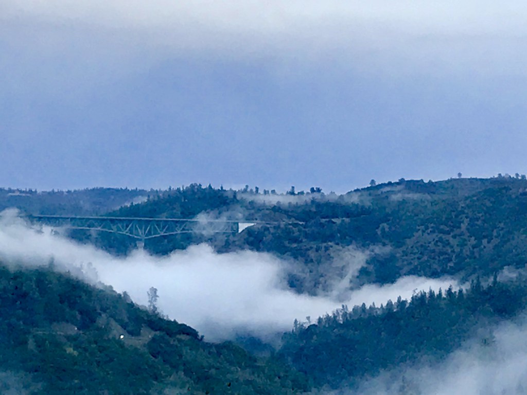
Canyon Clouds
Topographic Map of Auburn Municipal Airport, New Airport Rd, Auburn, CA, USA
Find elevation by address:

Places near Auburn Municipal Airport, New Airport Rd, Auburn, CA, USA:
13160 Dry Creek Rd
Dry Creek Road
2605 Sullivan Dr
2055 Black Oak Rd
Dry Creek Rd, Auburn, CA, USA
Gold Country Rv
Elders Corner
Campbell Drive
North Auburn
Masters Court
2700 Campbell Dr
5200 Oak Springs Ct
1630 Tulip Cir
11670 Atwood Rd
3668 Richardson Dr
2537 Gayle Ln
857 Matson Dr
5697 Stanley Dr
11512 B Ave
Luther Road
Recent Searches:
- Elevation of Beall Road, Beall Rd, Florida, USA
- Elevation of Leguwa, Nepal
- Elevation of County Rd, Enterprise, AL, USA
- Elevation of Kolchuginsky District, Vladimir Oblast, Russia
- Elevation of Shustino, Vladimir Oblast, Russia
- Elevation of Lampiasi St, Sarasota, FL, USA
- Elevation of Elwyn Dr, Roanoke Rapids, NC, USA
- Elevation of Congressional Dr, Stevensville, MD, USA
- Elevation of Bellview Rd, McLean, VA, USA
- Elevation of Stage Island Rd, Chatham, MA, USA