Elevation of Sugar Creek Rd, Grand Rivers, KY, USA
Location: United States > Kentucky > Livingston County >
Longitude: -88.287544
Latitude: 37.1435386
Elevation: 128m / 420feet
Barometric Pressure: 100KPa
Elevation Map:
Satellite Map:
Related Photos:
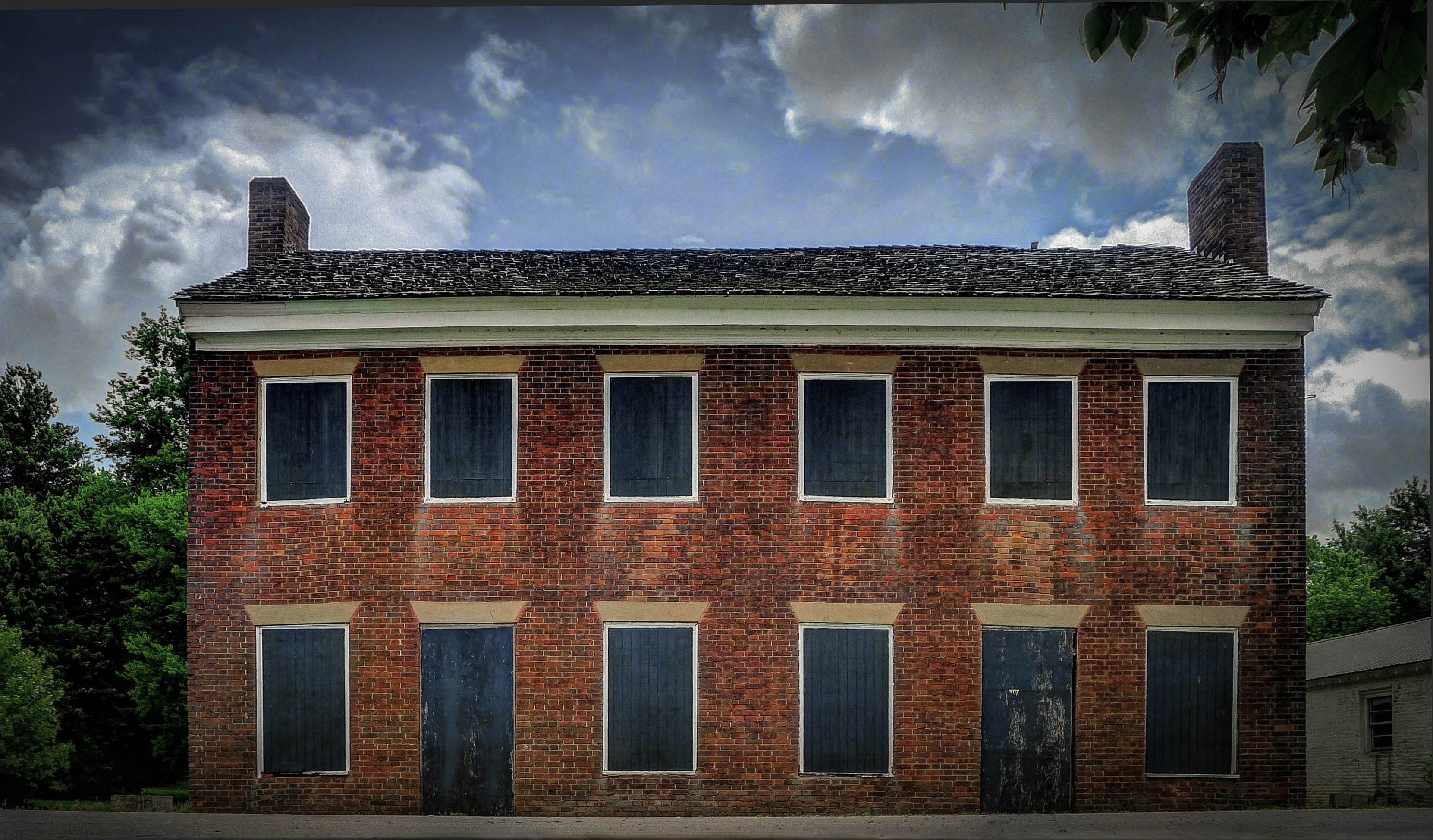
Gault House, Smithland, KY
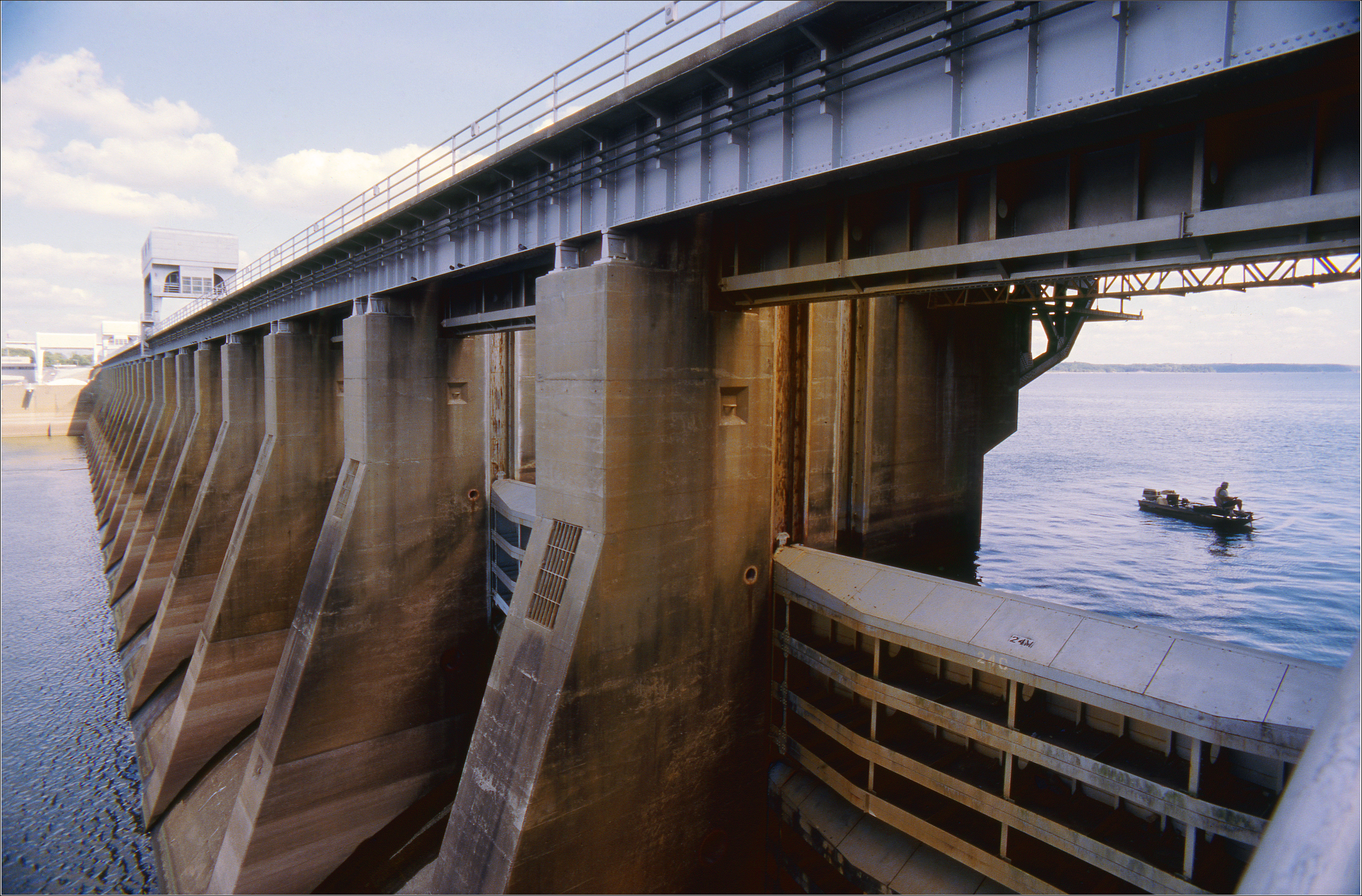
Kentucky Dam
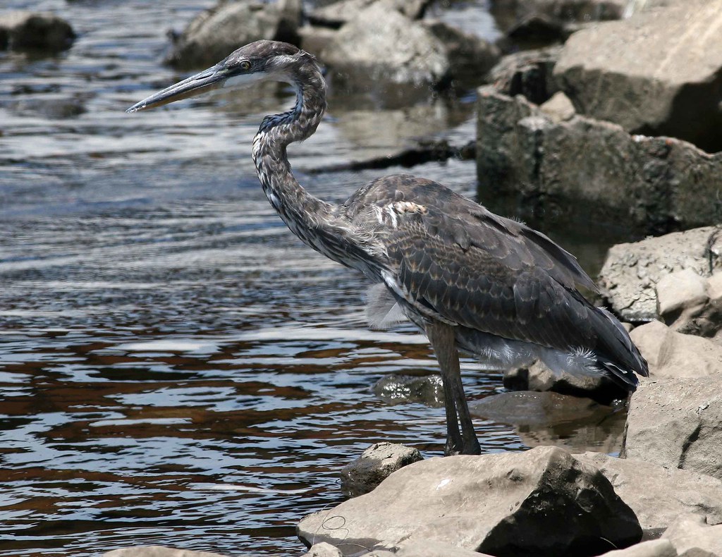
immature Great Blue Heron

You're such a heavenly view #shee
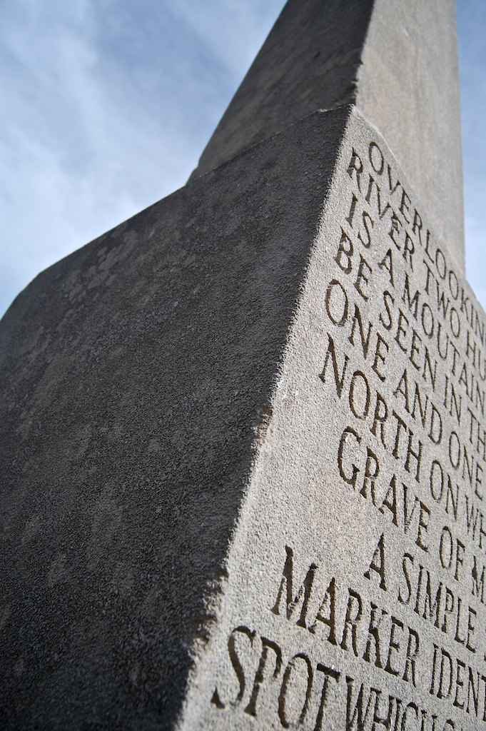
overlooking...

Don't let this serene view fool you. It comes with lots of interruptions. There's a 17 person party on this trip. But I will take every peaceful water moment when I can get it. #morningcoffee #melaniebiehle_morningcoffee #biehle_adventureclub #biehle_trav

10.01.13a 002fbbc
Ohio and Cumberland River Confluence (Smithland, Kentucky)

Final act...

Cruising upon liquid sun...

Church at Rutgers

Sunrise on the Lake

Dappled Sky

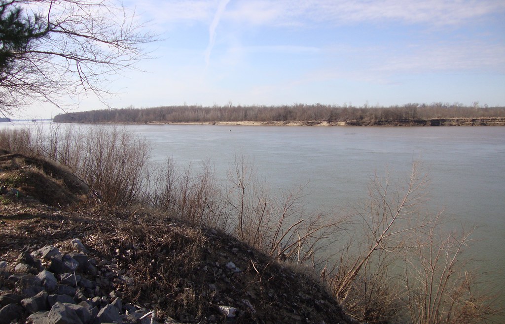
Kentucky Lake
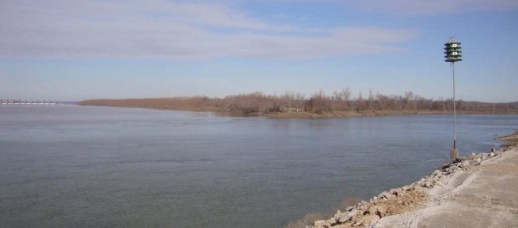
Ohio and Cumberland River Confluence (Smithland, Kentucky)

Kentucky Dam
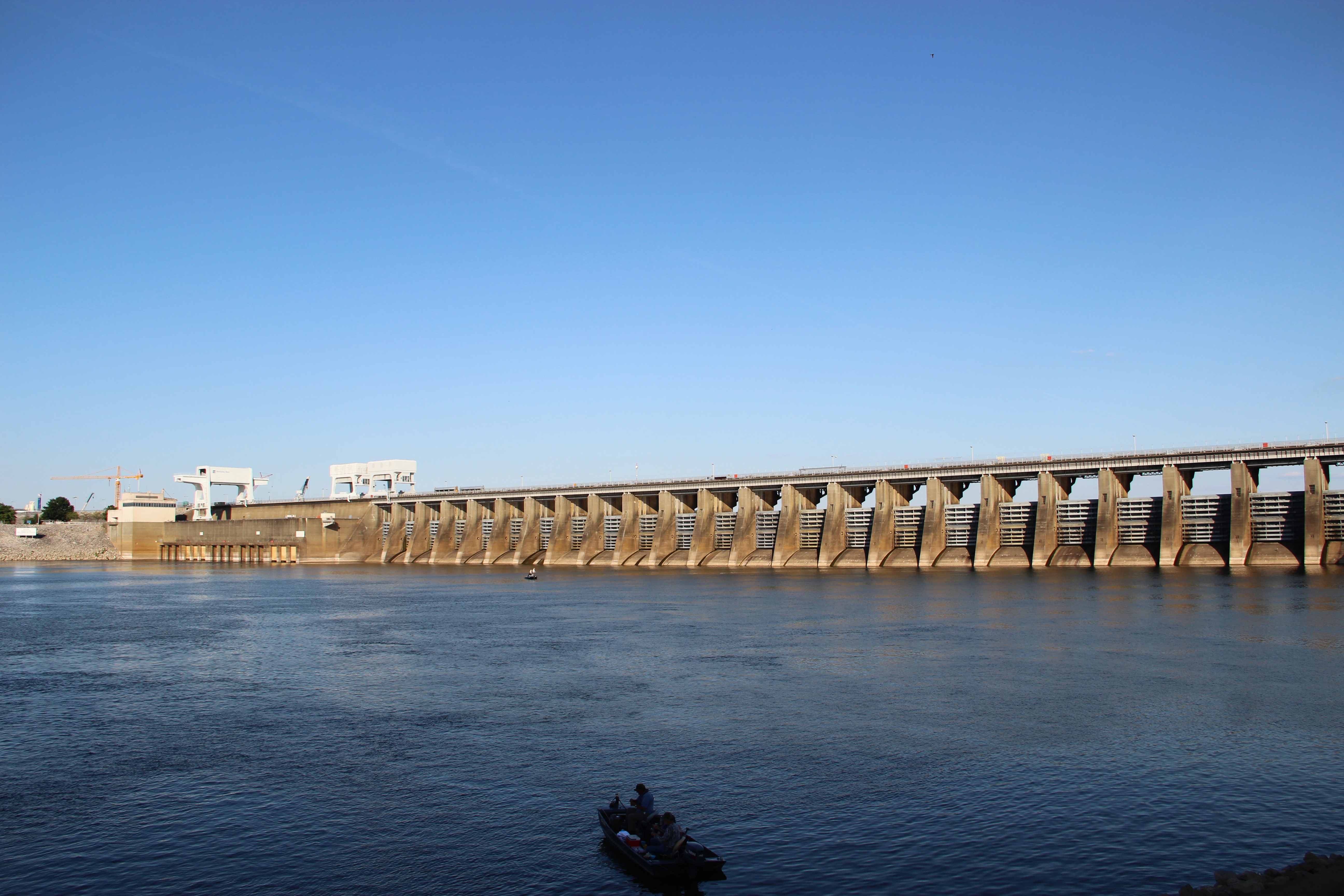
Kentucky Dam

Fair warning

Tennessee River

Ohio River in Paducah
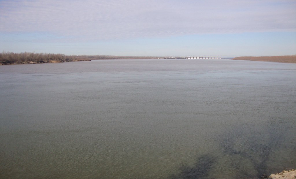
Ohio and Cumberland River Confluence (Smithland, Kentucky)

Kentucky Lake Beach

Ohio River in Paducah

Kentucky Dam, Kentucky, USA

Tennessee River

Oh what a Beautiful Morning
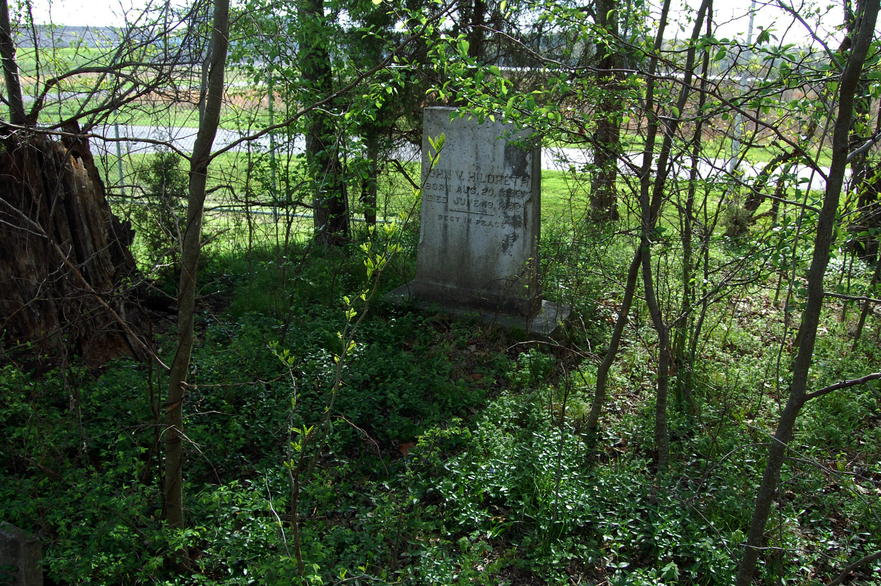
Jones Cemetery
Topographic Map of Sugar Creek Rd, Grand Rivers, KY, USA
Find elevation by address:

Places near Sugar Creek Rd, Grand Rivers, KY, USA:
709 Guess Rd
1046 Tiline Rd
Coon Chapel Rd & Heater Store Rd
1712 Tiline Rd
844 Coon Chapel Rd
844 Coon Chapel Rd
2250 Ky-1523
2270 Ky-1523
2275 Ky-1523
Industrial Pkwy, Calvert City, KY, USA
2400 Ky-1523
2700 Ky-1523
3000 Ky-1523
Smithland
2595 Gilbertsville Hwy #1000
Gilbertsville
N Court St, Smithland, KY, USA
Livingston County
Calvert City
480 Ky-95
Recent Searches:
- Elevation of 6 Rue Jules Ferry, Beausoleil, France
- Elevation of Sattva Horizon, 4JC6+G9P, Vinayak Nagar, Kattigenahalli, Bengaluru, Karnataka, India
- Elevation of Great Brook Sports, Gold Star Hwy, Groton, CT, USA
- Elevation of 10 Mountain Laurels Dr, Nashua, NH, USA
- Elevation of 16 Gilboa Ln, Nashua, NH, USA
- Elevation of Laurel Rd, Townsend, TN, USA
- Elevation of 3 Nestling Wood Dr, Long Valley, NJ, USA
- Elevation of Ilungu, Tanzania
- Elevation of Yellow Springs Road, Yellow Springs Rd, Chester Springs, PA, USA
- Elevation of Rēzekne Municipality, Latvia