Elevation of KY-95, Calvert City, KY, USA
Location: United States > Kentucky > Marshall County > Calvert City >
Longitude: -88.351402
Latitude: 37.0276385
Elevation: 108m / 354feet
Barometric Pressure: 100KPa
Elevation Map:
Satellite Map:
Related Photos:
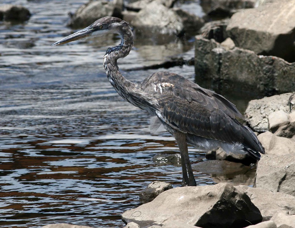
immature Great Blue Heron
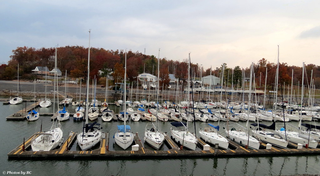
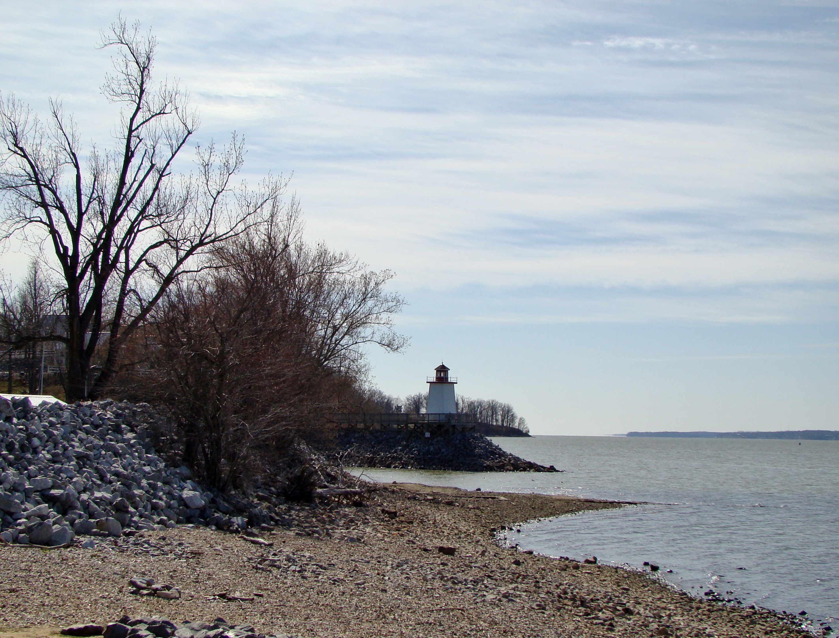
Lighthouse Landing Ky.

Don't let this serene view fool you. It comes with lots of interruptions. There's a 17 person party on this trip. But I will take every peaceful water moment when I can get it. #morningcoffee #melaniebiehle_morningcoffee #biehle_adventureclub #biehle_trav
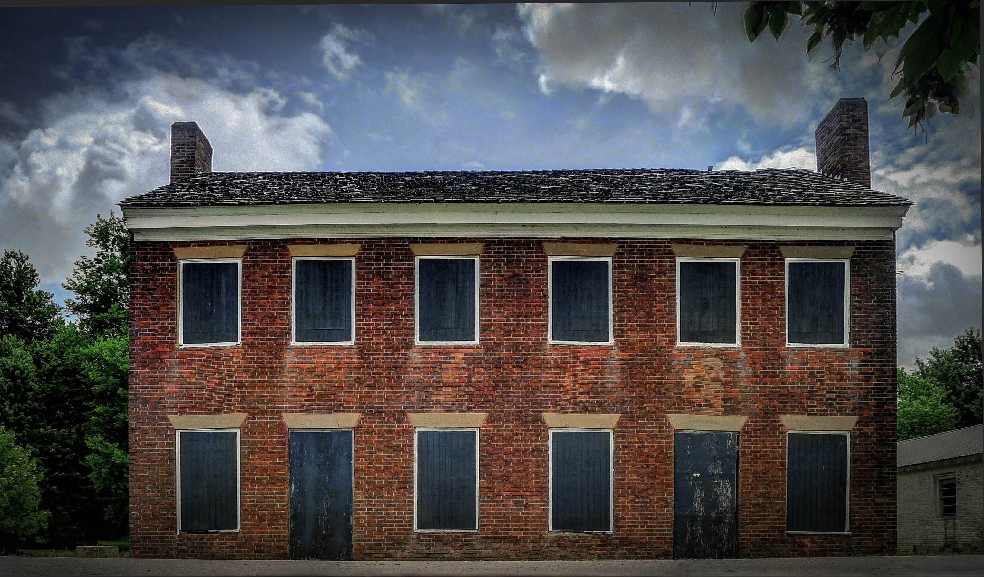
Gault House, Smithland, KY

View From The Deck
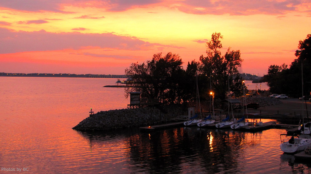
Sunset on Kentucky Lake.
Lighthouse Landing Ky.

A View of the Inferno
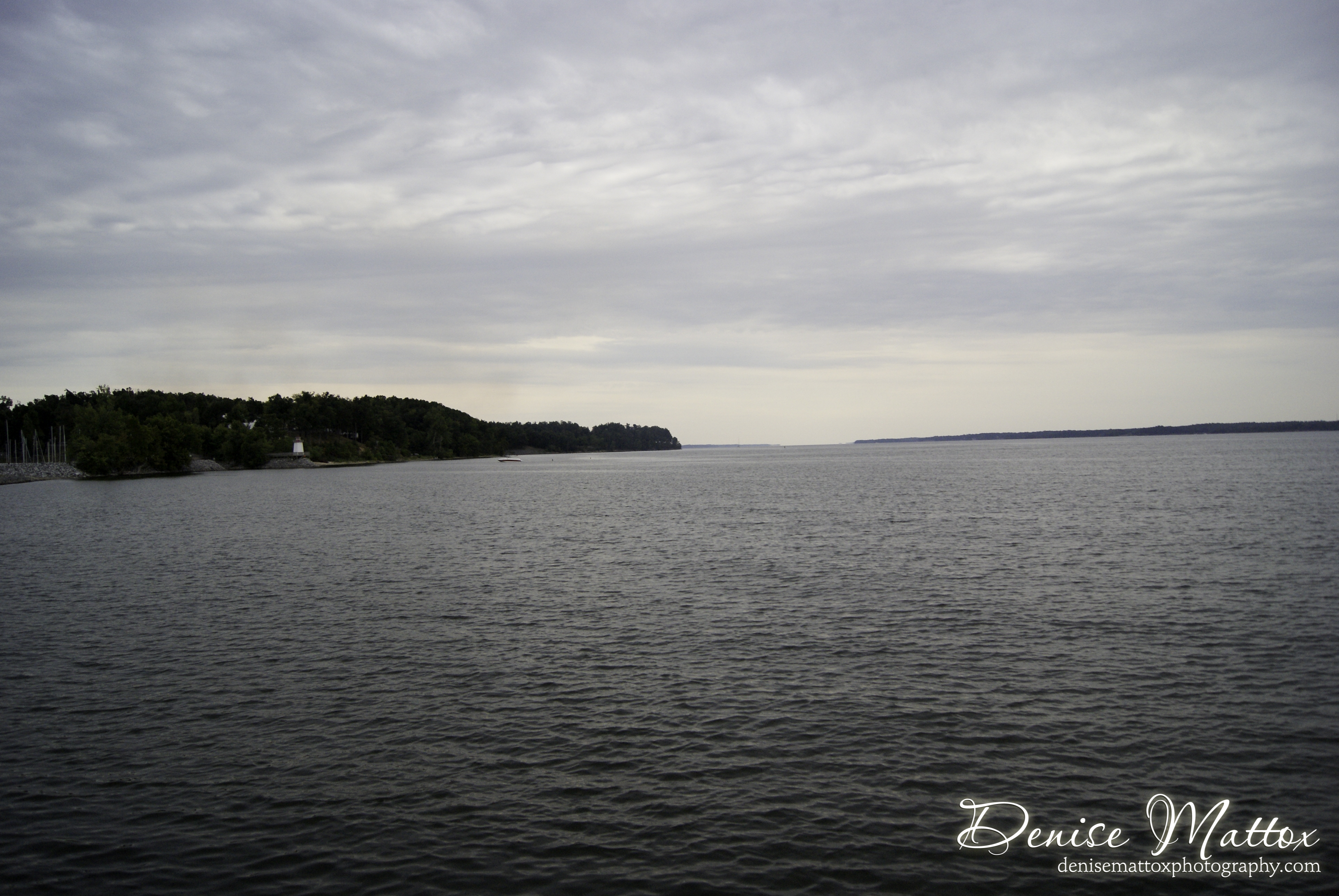
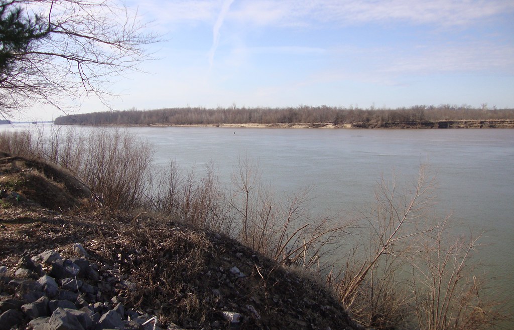
toward the ohio
Iridescent Spider

Final act...
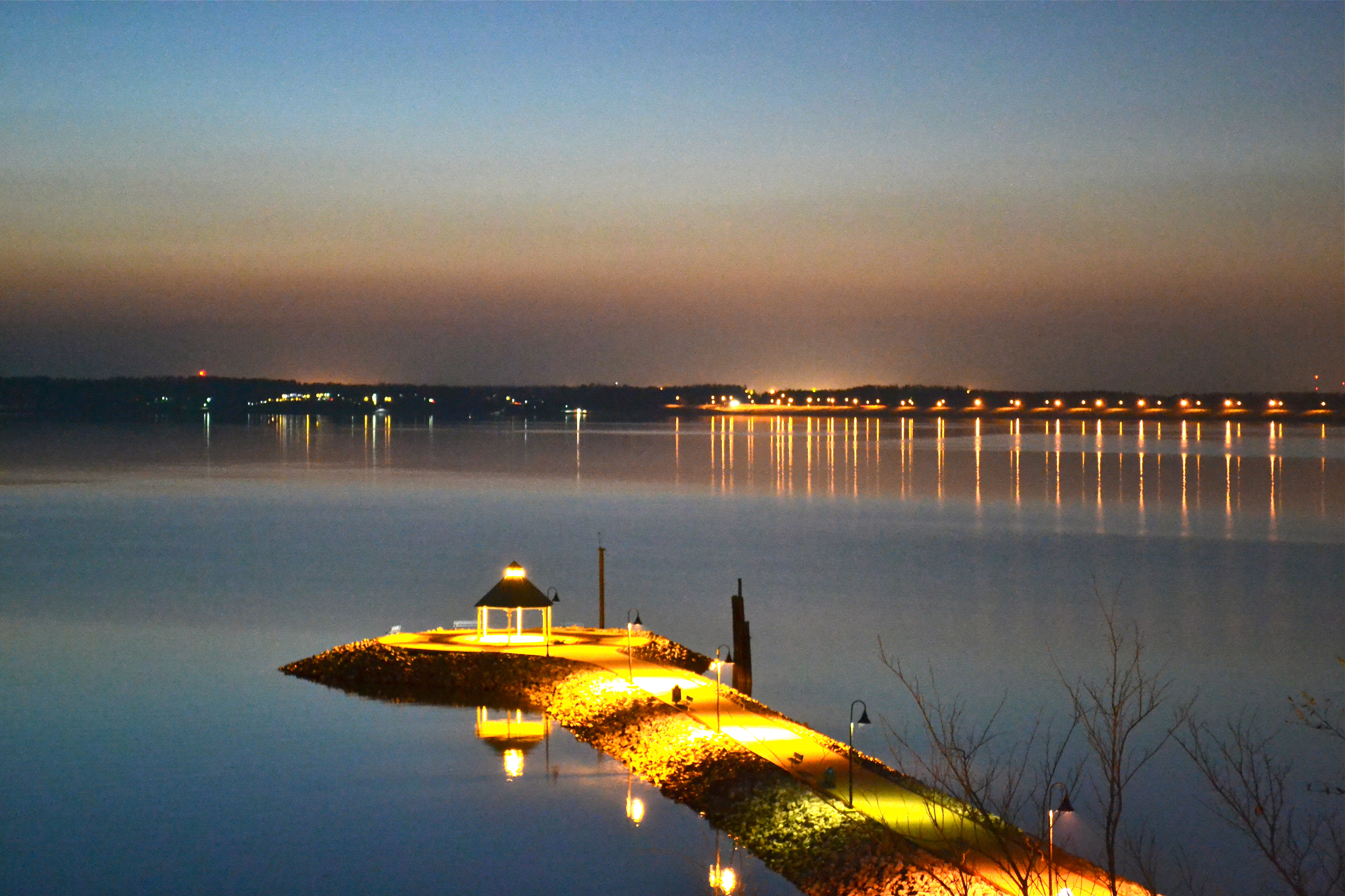
Lighthouse Landing twilight
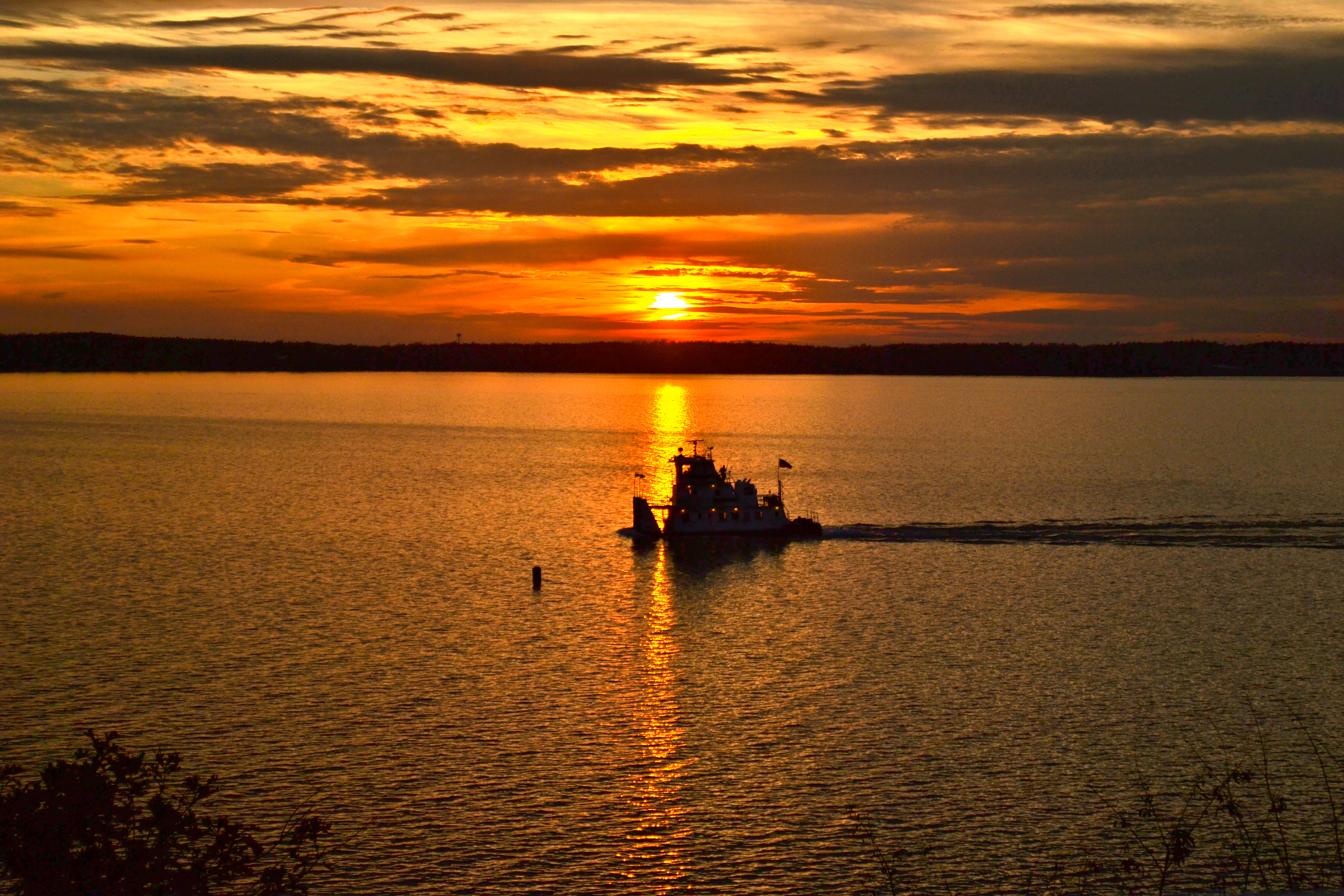
Sunset and barge tug at Kentucky Lake
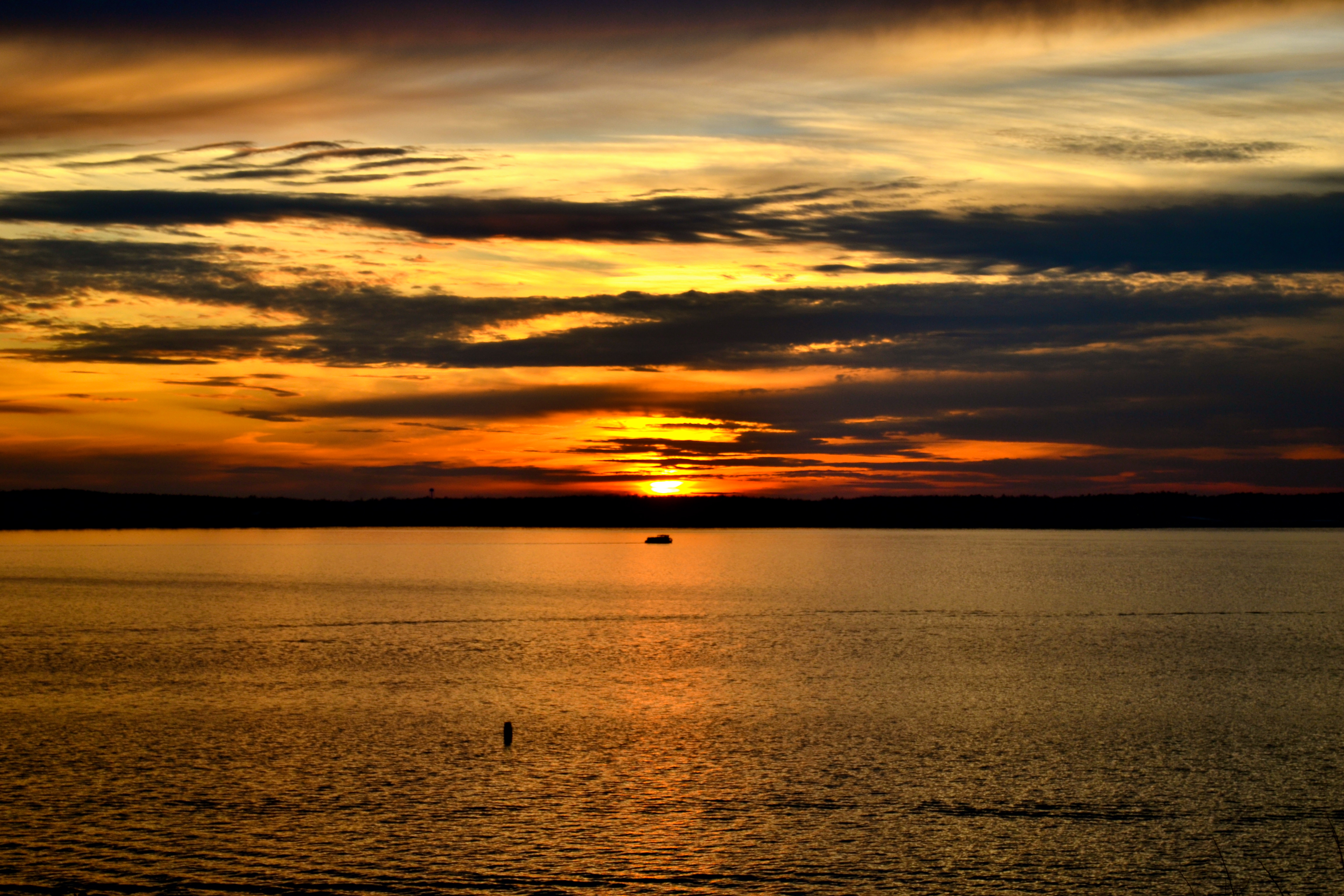
Sunset at Kentucky Lake
From cabin balcony at Kentucky Lake

Iroquois twilight
Lighthouse Landing

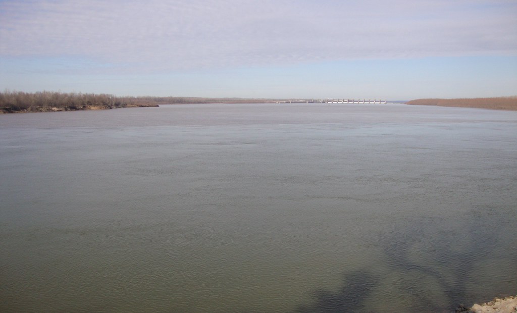
Kentucky Dam
Ohio and Cumberland River Confluence (Smithland, Kentucky)

Fair warning
Grand Rivers KY
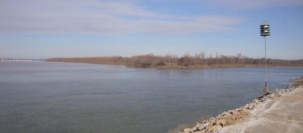
Ohio and Cumberland River Confluence (Smithland, Kentucky)
Ohio and Cumberland River Confluence (Smithland, Kentucky)

Kentucky Lake Beach

Kentucky Dam, Kentucky, USA
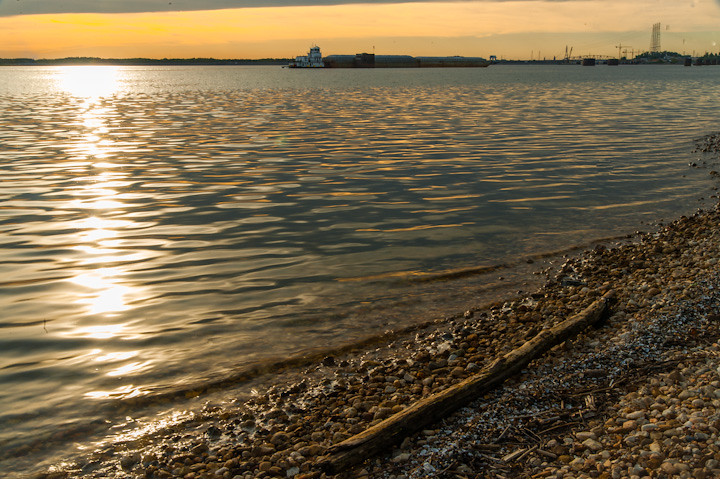
Barge and Stick

Sailors Take Warning.
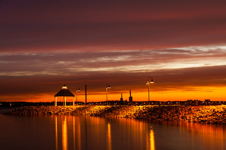
Lighthouse Landing Pagoda
Topographic Map of KY-95, Calvert City, KY, USA
Find elevation by address:

Places near KY-95, Calvert City, KY, USA:
Calvert City
3000 Ky-1523
2700 Ky-1523
3228 Lone Valley Rd
Industrial Pkwy, Calvert City, KY, USA
2400 Ky-1523
2275 Ky-1523
2270 Ky-1523
2250 Ky-1523
2595 Gilbertsville Hwy #1000
Gilbertsville
1000 State Hwy 2595
1000 State Hwy 2595
Lakeview Church Road
Shar-Cal Rd, Calvert City, KY, USA
500 State Hwy 2595
500 State Hwy 2595
Ledbetter
Adair St, Ledbetter, KY, USA
Wilton Circle
Recent Searches:
- Elevation of AMELIA CT HSE, VA, USA
- Elevation of Abbey Dr, Virginia Beach, VA, USA
- Elevation of Brooks Lp, Spearfish, SD, USA
- Elevation of Panther Dr, Maggie Valley, NC, USA
- Elevation of Jais St - Wadi Shehah - Ras al Khaimah - United Arab Emirates
- Elevation of Shawnee Avenue, Shawnee Ave, Easton, PA, USA
- Elevation of Scenic Shore Dr, Kingwood Area, TX, USA
- Elevation of W Prive Cir, Delray Beach, FL, USA
- Elevation of S Layton Cir W, Layton, UT, USA
- Elevation of F36W+3M, Mussoorie, Uttarakhand, India