Elevation of State Hwy, Lakeview Church Rd, Benton, KY, USA
Location: United States > Kentucky > Marshall County > Benton >
Longitude: -88.324939
Latitude: 36.9805563
Elevation: 115m / 377feet
Barometric Pressure: 100KPa
Elevation Map:
Satellite Map:
Related Photos:
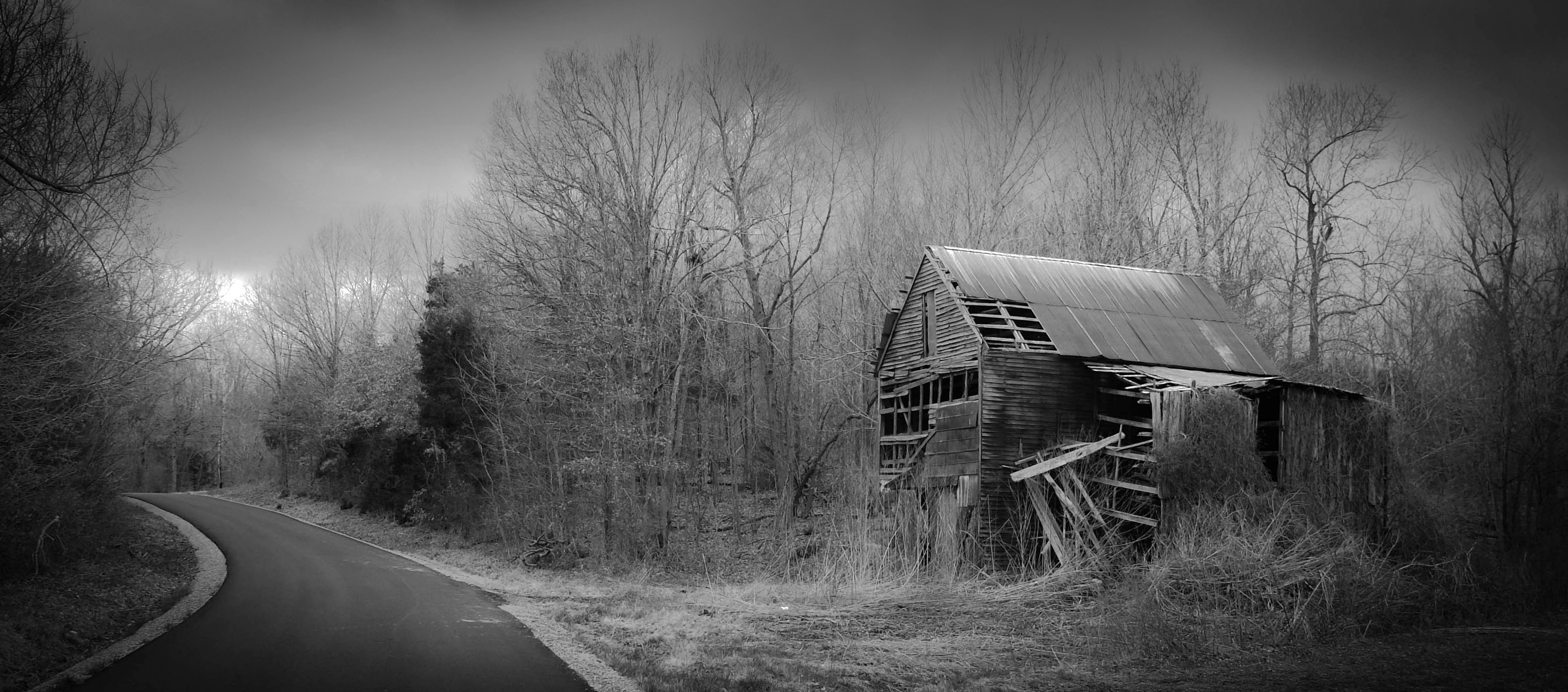
Breezeel School Road Barn_BW

View From The Deck
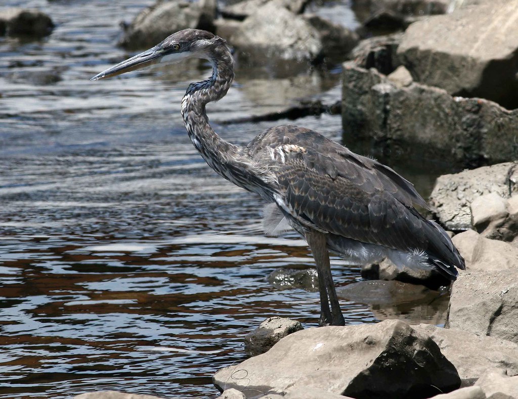
immature Great Blue Heron
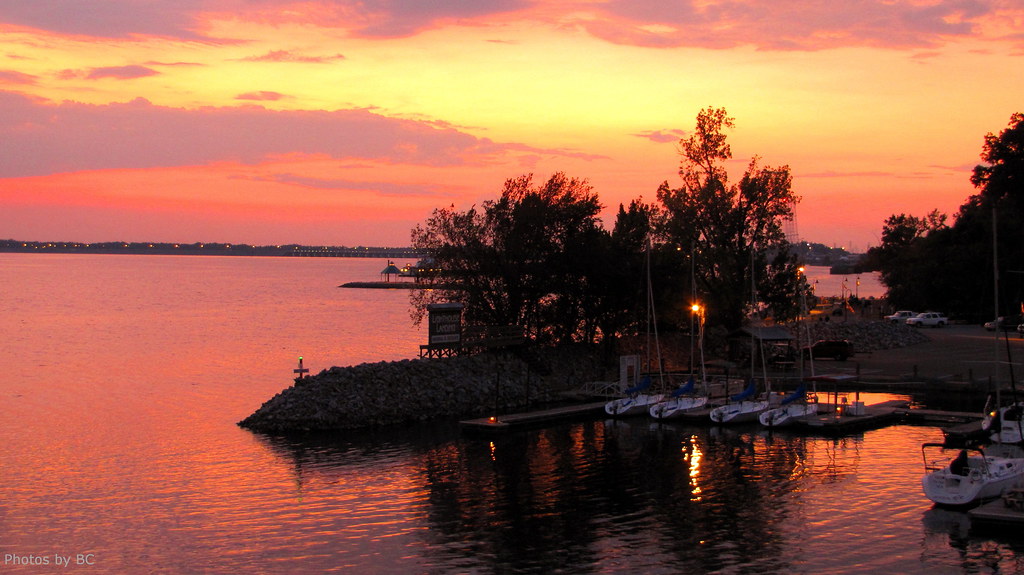
Sunset on Kentucky Lake.
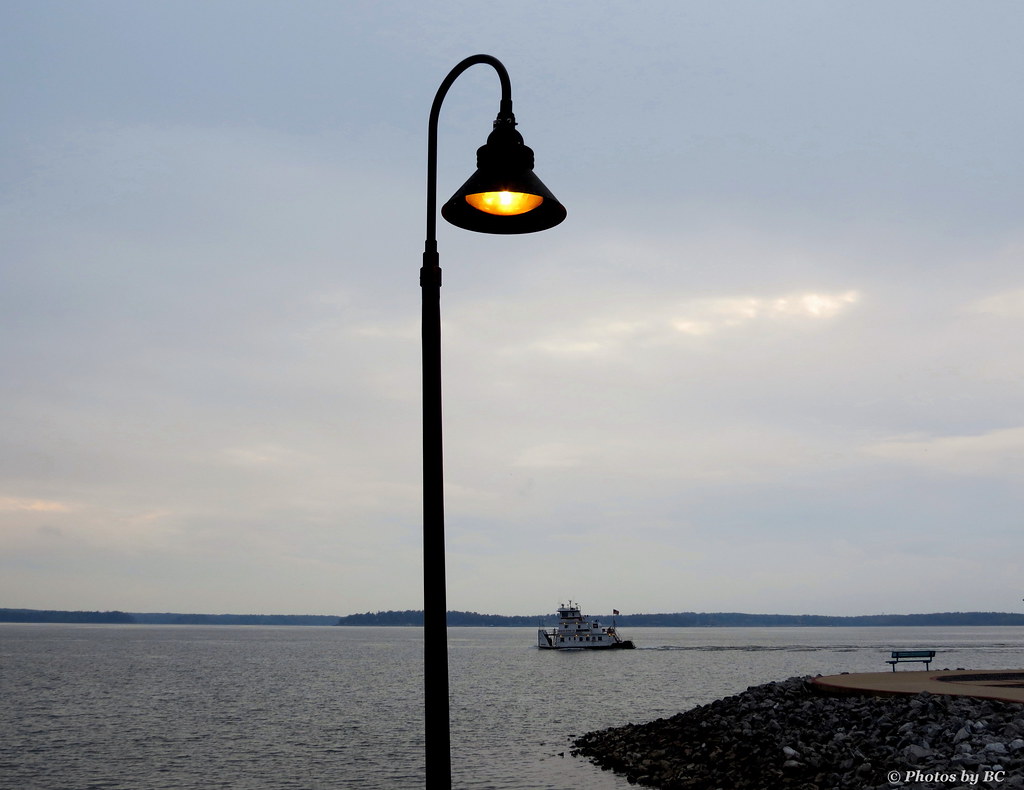
Lighthouse Landing Ky.

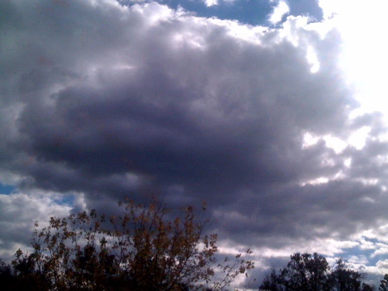
A View of the Inferno
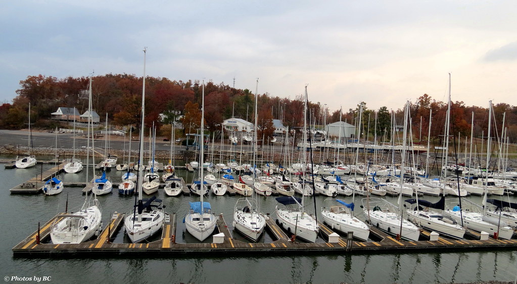
Lighthouse Landing Ky.
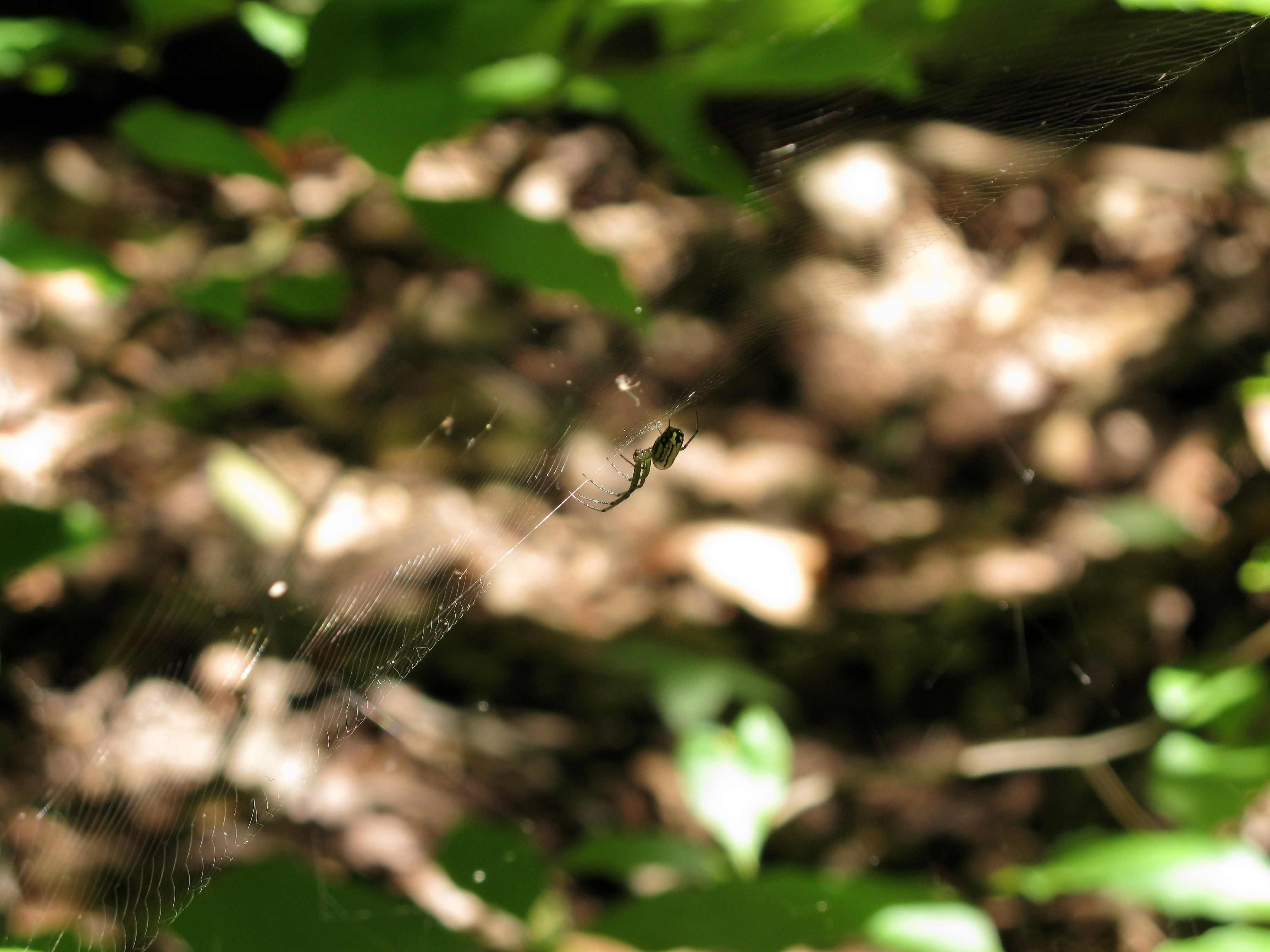
Iridescent Spider

And Our Flag Was Still There

Don't let this serene view fool you. It comes with lots of interruptions. There's a 17 person party on this trip. But I will take every peaceful water moment when I can get it. #morningcoffee #melaniebiehle_morningcoffee #biehle_adventureclub #biehle_trav

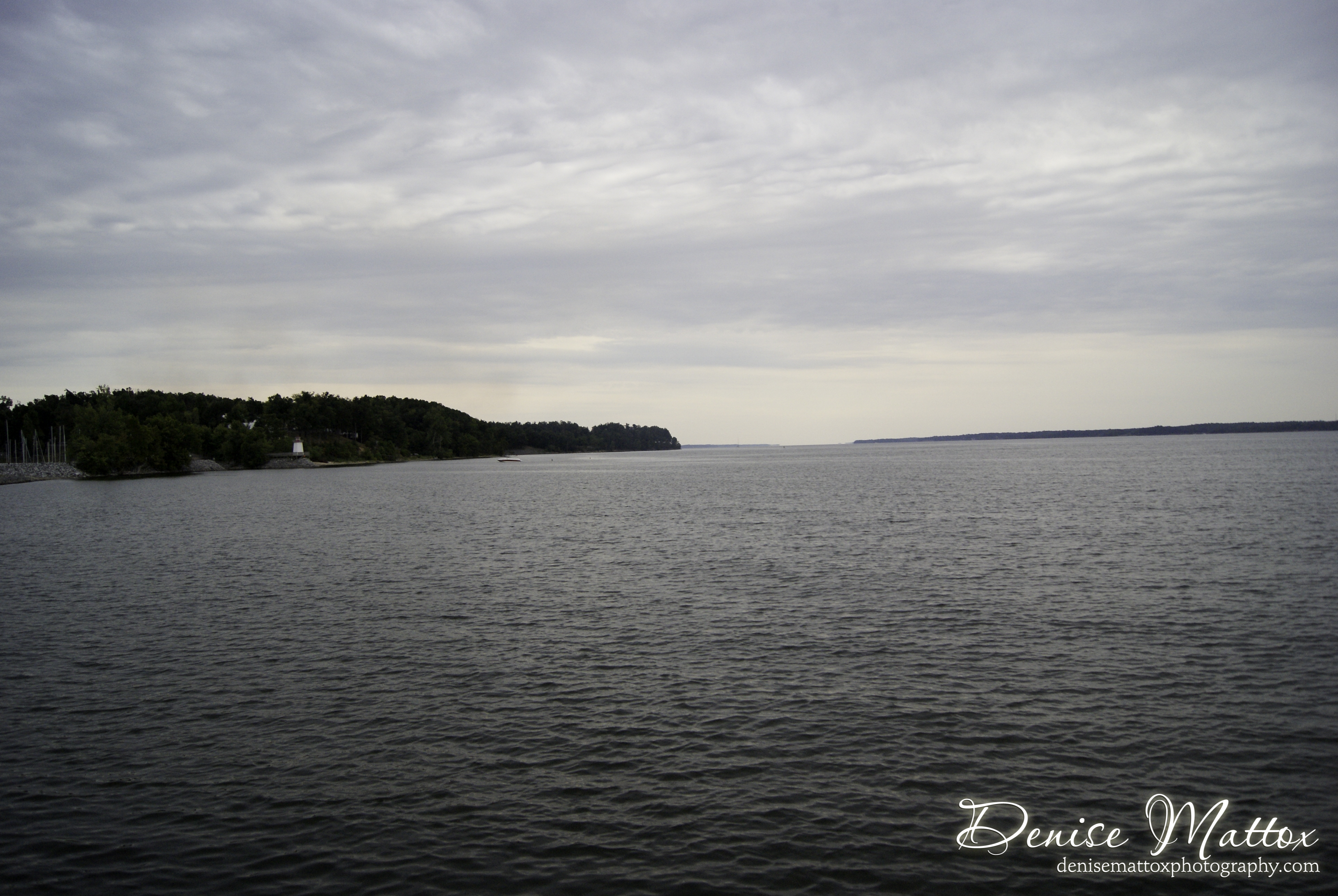
Scenic View
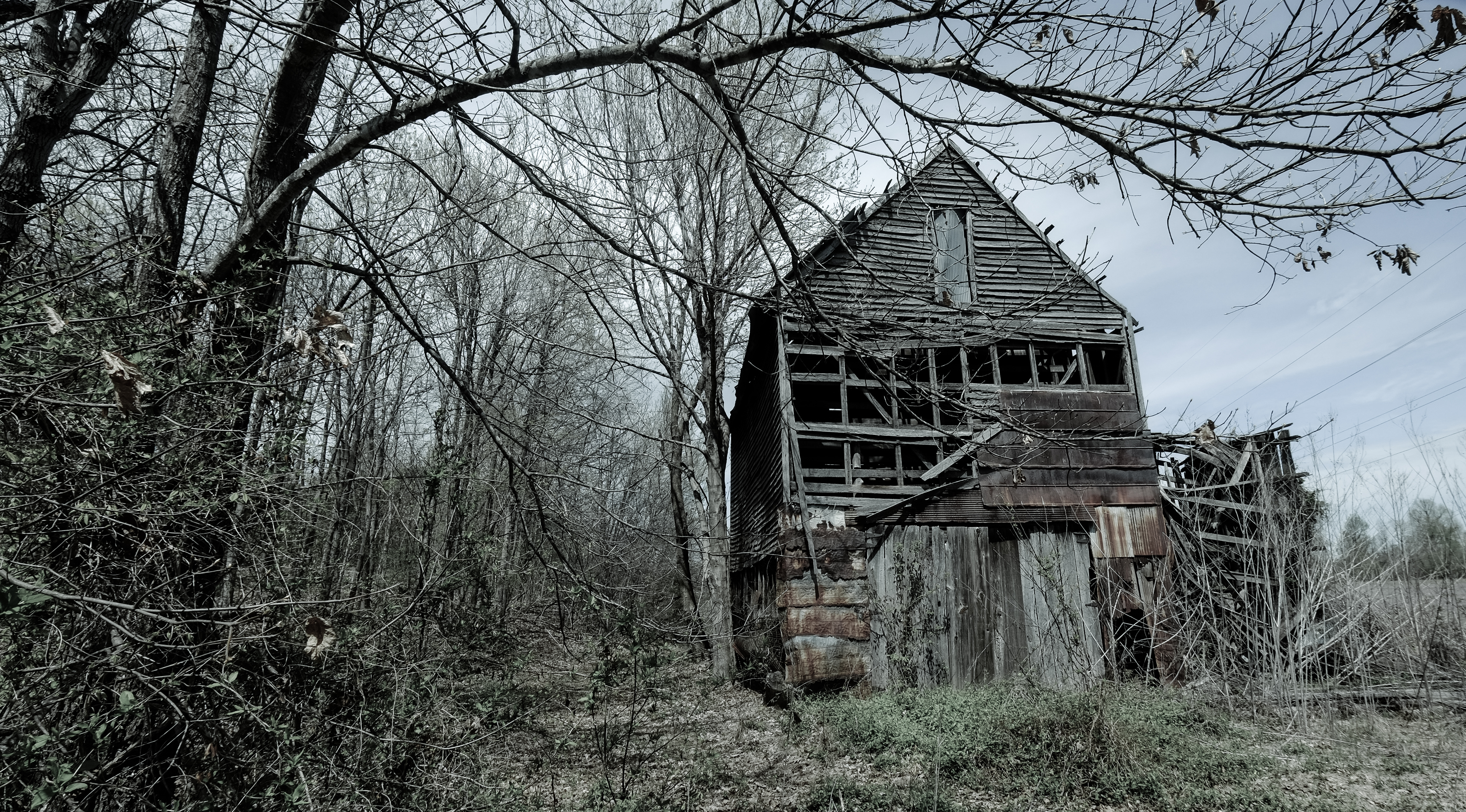
Marshall Barn
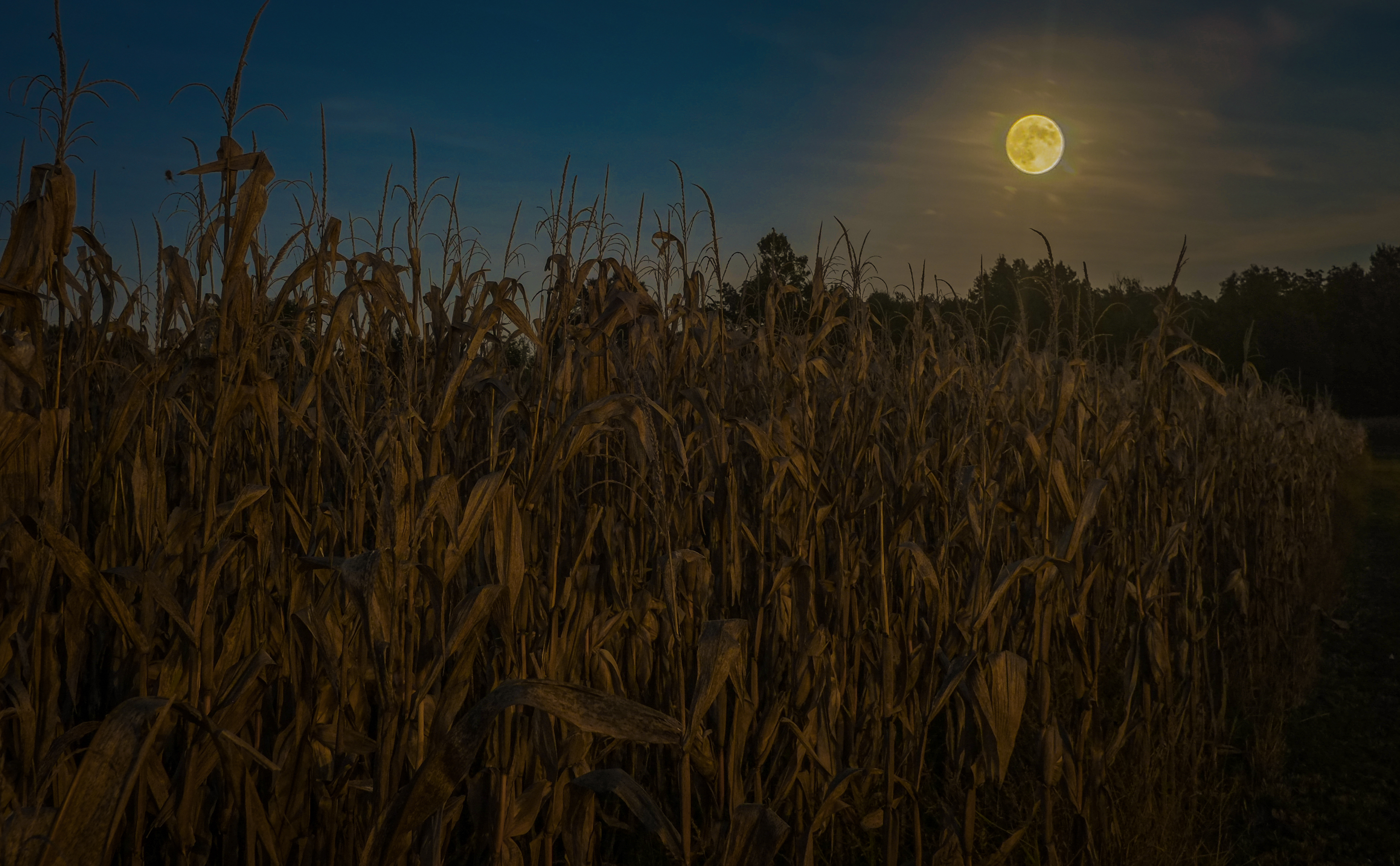
Harvest Moon
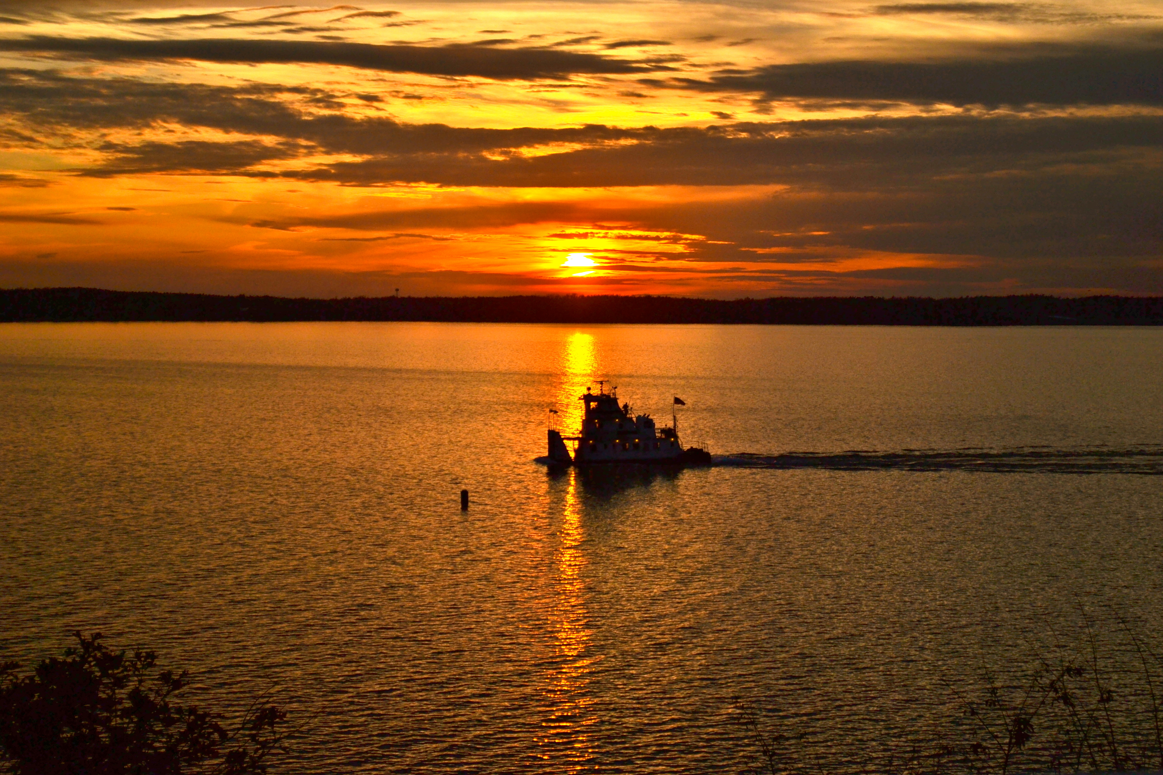
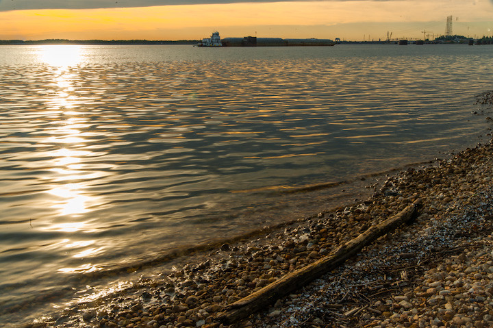
Tugboat on Kentucky Lake at Sunset

Sunset and barge tug at Kentucky Lake

Church at Rutgers
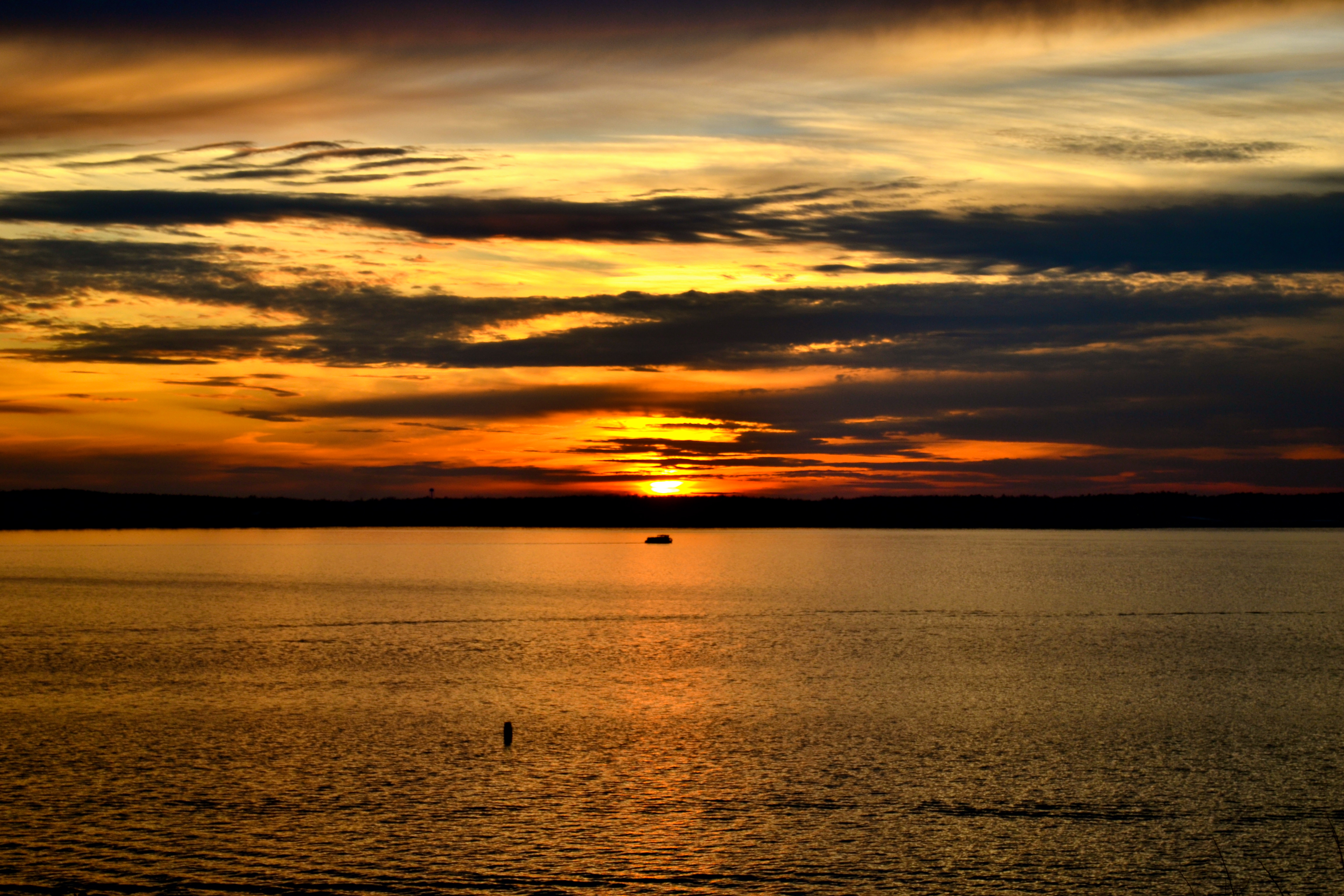
Sunset at Kentucky Lake
From cabin balcony at Kentucky Lake
Lighthouse Landing
Glory,Glory,
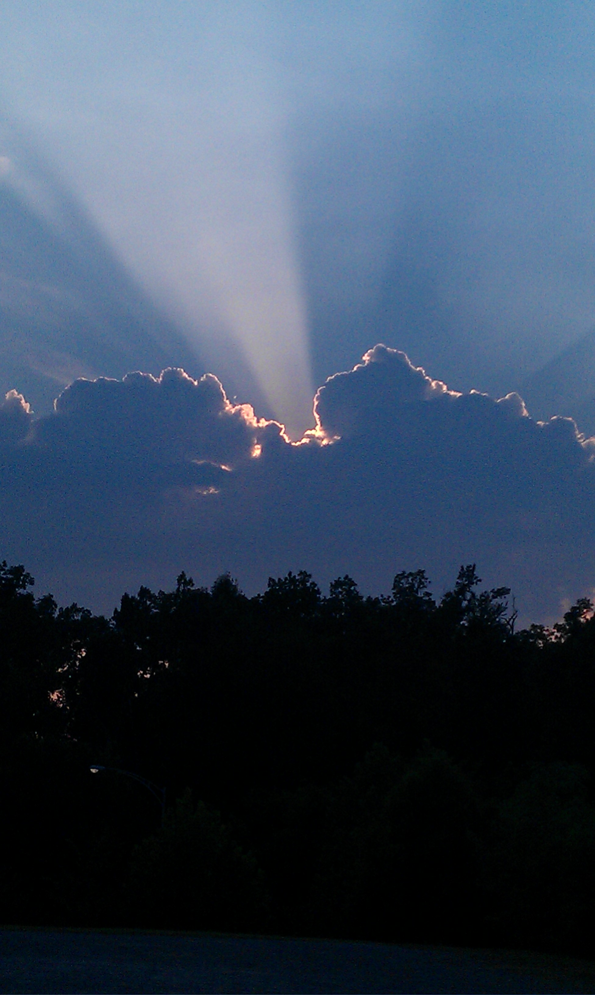
Behind Closed Clouds !
Barge and Stick

Sailors Take Warning.

Gorgeous light on our bike ride
Lighthouse Landing Pagoda

Final act...
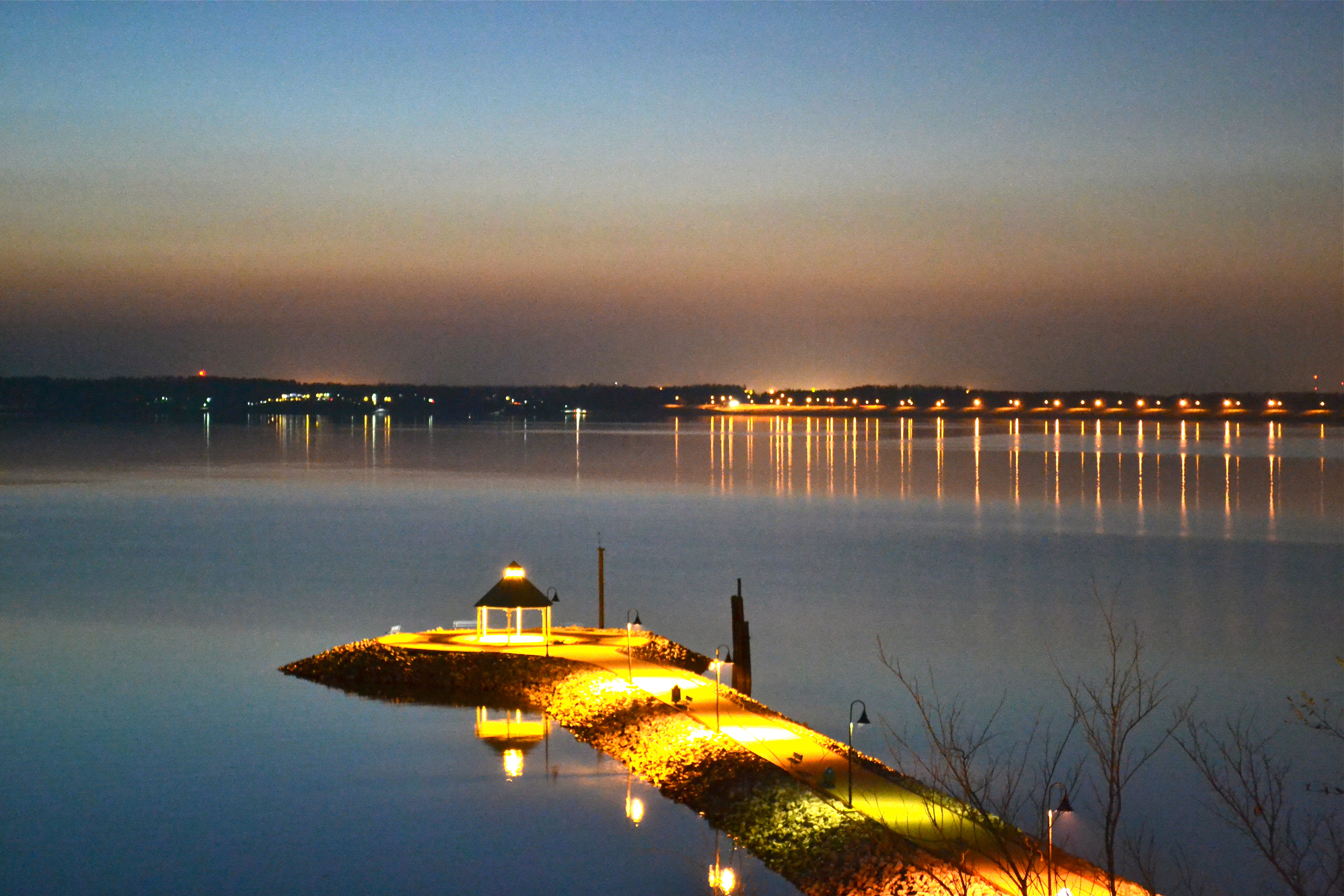
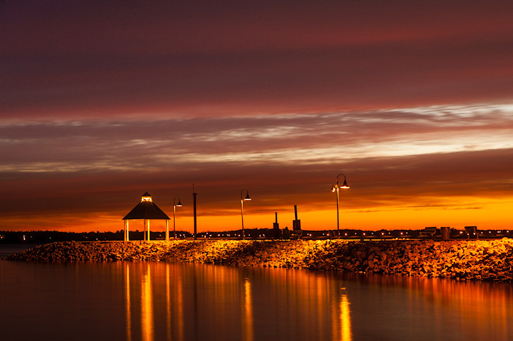
Lighthouse Landing twilight
Sunrise on the Lake
Cruising upon liquid sun...
Good Mornin'
KY Lake moon
Topographic Map of State Hwy, Lakeview Church Rd, Benton, KY, USA
Find elevation by address:

Places near State Hwy, Lakeview Church Rd, Benton, KY, USA:
1000 State Hwy 2595
Lakeview Church Road
3228 Lone Valley Rd
500 State Hwy 2595
500 State Hwy 2595
Gilbertsville
2595 Gilbertsville Hwy #1000
480 Ky-95
Calvert City
2250 Ky-1523
2270 Ky-1523
2275 Ky-1523
2400 Ky-1523
Industrial Pkwy, Calvert City, KY, USA
2700 Ky-1523
3000 Ky-1523
Shar-Cal Rd, Calvert City, KY, USA
Ledbetter
Adair St, Ledbetter, KY, USA
Wilton Circle
Recent Searches:
- Elevation of Congressional Dr, Stevensville, MD, USA
- Elevation of Bellview Rd, McLean, VA, USA
- Elevation of Stage Island Rd, Chatham, MA, USA
- Elevation of Shibuya Scramble Crossing, 21 Udagawacho, Shibuya City, Tokyo -, Japan
- Elevation of Jadagoniai, Kaunas District Municipality, Lithuania
- Elevation of Pagonija rock, Kranto 7-oji g. 8"N, Kaunas, Lithuania
- Elevation of Co Rd 87, Jamestown, CO, USA
- Elevation of Tenjo, Cundinamarca, Colombia
- Elevation of Côte-des-Neiges, Montreal, QC H4A 3J6, Canada
- Elevation of Bobcat Dr, Helena, MT, USA