Elevation of Guess Rd, Smithland, KY, USA
Location: United States > Kentucky > Livingston County > Smithland >
Longitude: -88.273164
Latitude: 37.1666707
Elevation: 105m / 344feet
Barometric Pressure: 100KPa
Elevation Map:
Satellite Map:
Related Photos:

Gault House, Smithland, KY

You're such a heavenly view #shee

lucy jefferson lewis
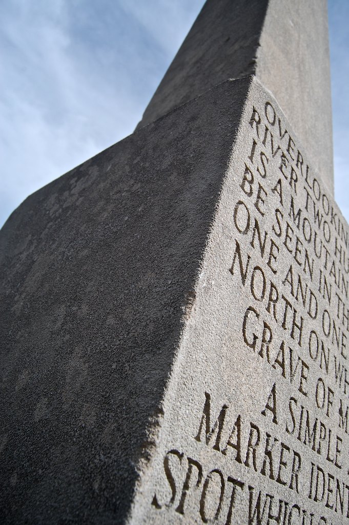
overlooking...

Frances Presbyterian Church Cemetery

10.01.13a 002fbbc

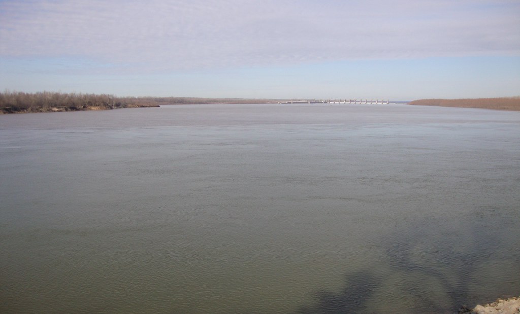
Ohio River in Paducah
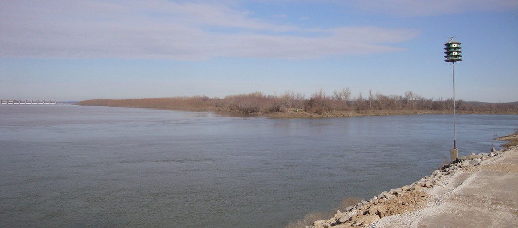
Ohio and Cumberland River Confluence (Smithland, Kentucky)

industrial hillside
Ohio and Cumberland River Confluence (Smithland, Kentucky)

Ohio River in Paducah

Ohio River in Paducah

Ohio and Cumberland River Confluence (Smithland, Kentucky)

Ohio River in Paducah

Oh what a Beautiful Morning

IMG_0559 2
Topographic Map of Guess Rd, Smithland, KY, USA
Find elevation by address:

Places near Guess Rd, Smithland, KY, USA:
887 Sugar Creek Rd
1046 Tiline Rd
1712 Tiline Rd
Coon Chapel Rd & Heater Store Rd
844 Coon Chapel Rd
844 Coon Chapel Rd
Livingston County
2250 Ky-1523
2270 Ky-1523
2275 Ky-1523
Industrial Pkwy, Calvert City, KY, USA
2400 Ky-1523
2700 Ky-1523
Smithland
3000 Ky-1523
N Court St, Smithland, KY, USA
2595 Gilbertsville Hwy #1000
US-60, Marion, KY, USA
Gilbertsville
773 River Rd
Recent Searches:
- Elevation of 6 Rue Jules Ferry, Beausoleil, France
- Elevation of Sattva Horizon, 4JC6+G9P, Vinayak Nagar, Kattigenahalli, Bengaluru, Karnataka, India
- Elevation of Great Brook Sports, Gold Star Hwy, Groton, CT, USA
- Elevation of 10 Mountain Laurels Dr, Nashua, NH, USA
- Elevation of 16 Gilboa Ln, Nashua, NH, USA
- Elevation of Laurel Rd, Townsend, TN, USA
- Elevation of 3 Nestling Wood Dr, Long Valley, NJ, USA
- Elevation of Ilungu, Tanzania
- Elevation of Yellow Springs Road, Yellow Springs Rd, Chester Springs, PA, USA
- Elevation of Rēzekne Municipality, Latvia