Elevation of Livingston County, KY, USA
Location: United States > Kentucky >
Longitude: -88.362785
Latitude: 37.2431347
Elevation: 170m / 558feet
Barometric Pressure: 99KPa
Elevation Map:
Satellite Map:
Related Photos:
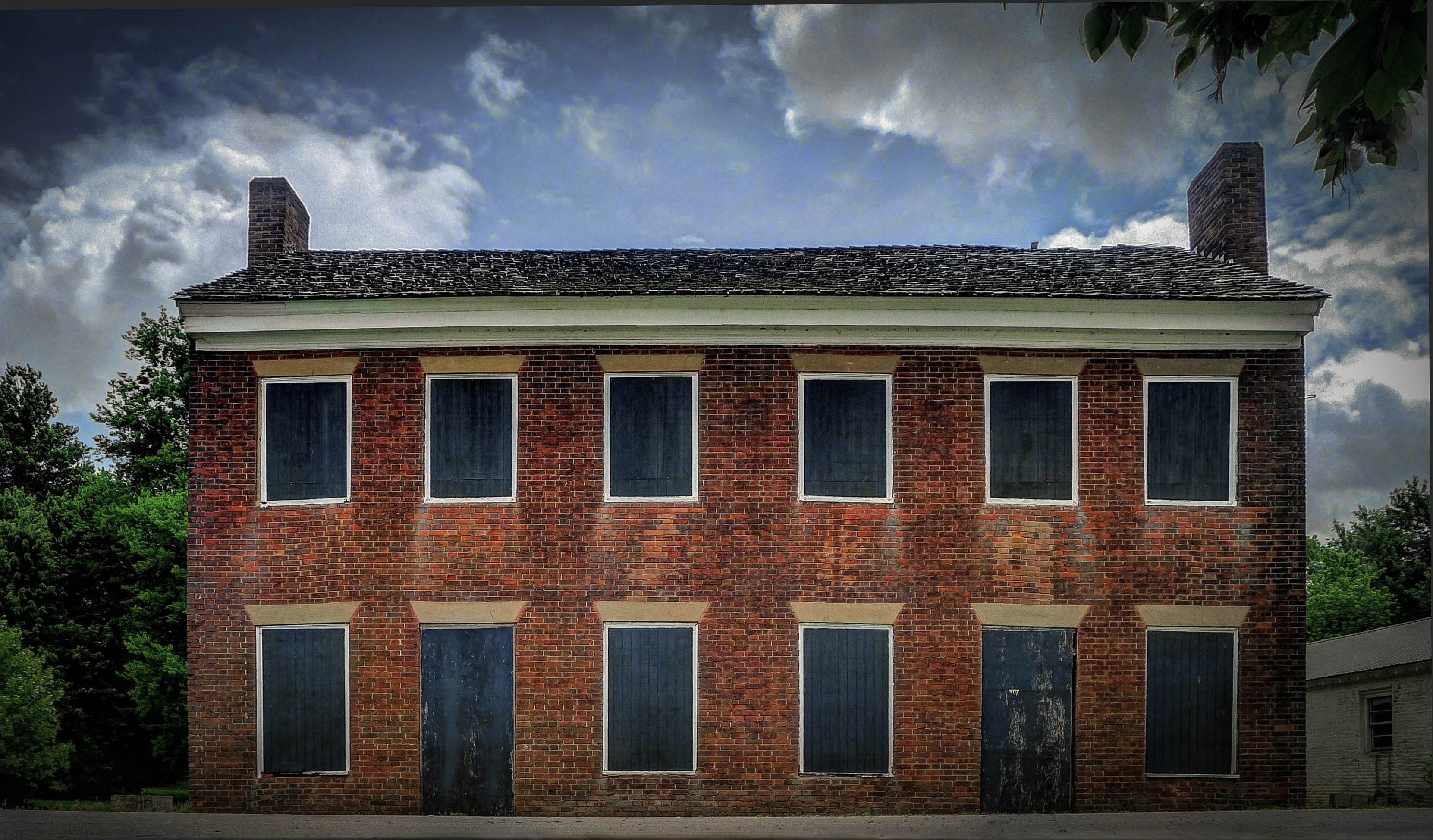
Gault House, Smithland, KY

You're such a heavenly view #shee

lucy jefferson lewis

overlooking...
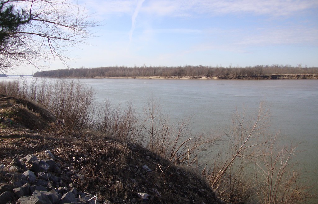
Ohio and Cumberland River Confluence (Smithland, Kentucky)
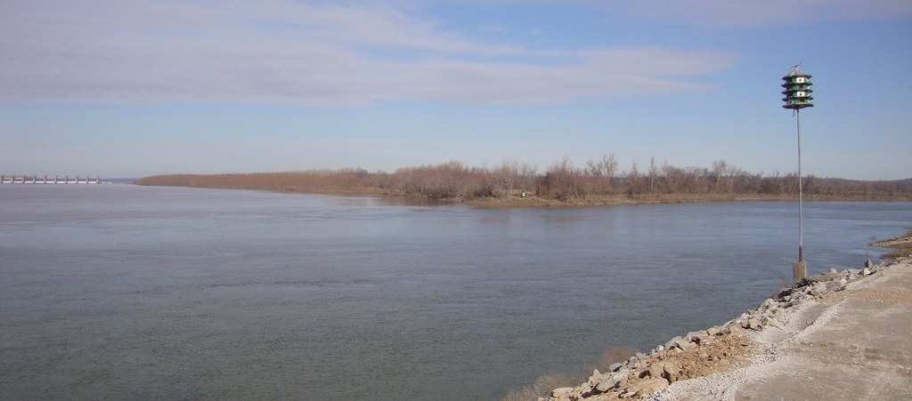
Ohio and Cumberland River Confluence (Smithland, Kentucky)
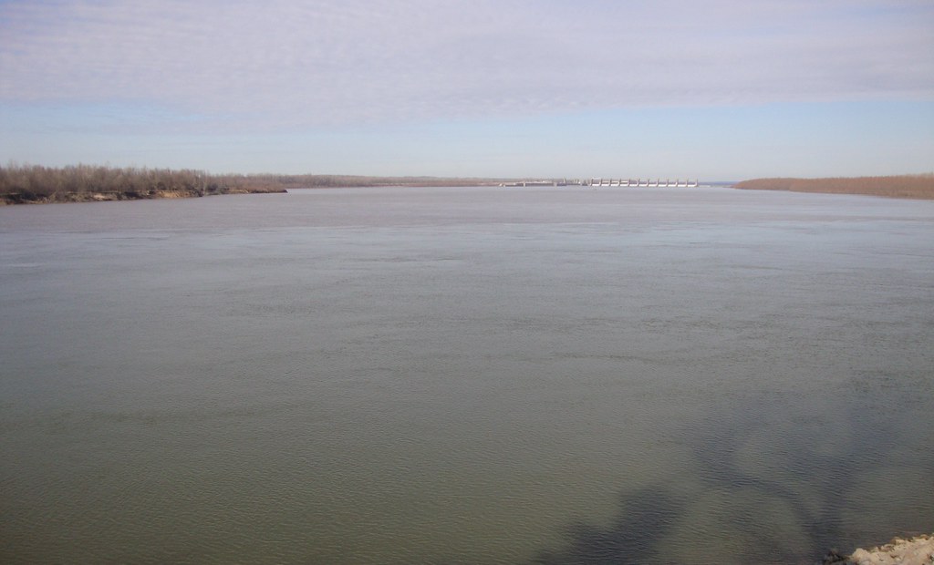
Ohio and Cumberland River Confluence (Smithland, Kentucky)

Joy Falls

Autumn in July

10.01.13a 002fbbc
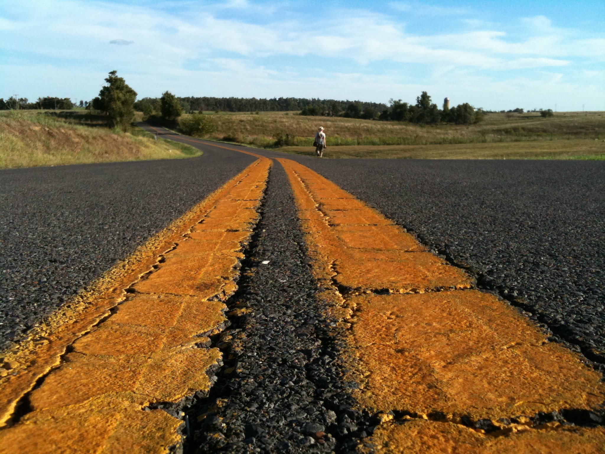
wide yellow lines
Topographic Map of Livingston County, KY, USA
Find elevation by address:

Places in Livingston County, KY, USA:
Places near Livingston County, KY, USA:
773 River Rd
Birdsville
1046 Tiline Rd
Smithland
N Court St, Smithland, KY, USA
709 Guess Rd
887 Sugar Creek Rd
Coon Chapel Rd & Heater Store Rd
844 Coon Chapel Rd
844 Coon Chapel Rd
Carrsville
743 Crutcher Rd
1712 Tiline Rd
Lincoln Street
Golconda
US-60, Marion, KY, USA
Rosiclare
3000 Ky-1523
Shar-Cal Rd, Calvert City, KY, USA
2700 Ky-1523
Recent Searches:
- Elevation of Bilohirs'k
- Elevation of 30 Oak Lawn Dr, Barkhamsted, CT, USA
- Elevation of Luther Road, Luther Rd, Auburn, CA, USA
- Elevation of Unnamed Road, Respublika Severnaya Osetiya — Alaniya, Russia
- Elevation of Verkhny Fiagdon, North Ossetia–Alania Republic, Russia
- Elevation of F. Viola Hiway, San Rafael, Bulacan, Philippines
- Elevation of Herbage Dr, Gulfport, MS, USA
- Elevation of Lilac Cir, Haldimand, ON N3W 2G9, Canada
- Elevation of Harrod Branch Road, Harrod Branch Rd, Kentucky, USA
- Elevation of Wyndham Grand Barbados Sam Lords Castle All Inclusive Resort, End of Belair Road, Long Bay, Bridgetown Barbados