Elevation of Stratford, CA, USA
Location: United States > California > Kings County >
Longitude: -119.82318
Latitude: 36.1893956
Elevation: 59m / 194feet
Barometric Pressure: 101KPa
Elevation Map:
Satellite Map:
Related Photos:
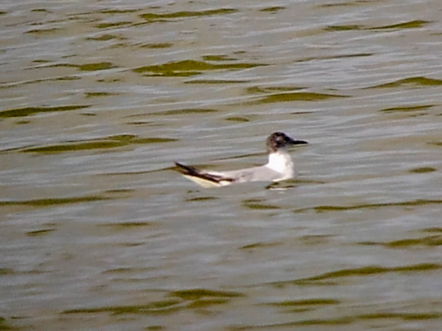
Little Gull

Usually packed full of wildlife back here.

Bird hangout ahead

Stopping For Lunch

iPhone 4

Sunset over the mountains in Lemoore CA

Annie Longsworth

Northbound Lemoore Avenue Approaching Califonia 198

Northbound Lemoore Avenue Approaching Califonia 198

Northbound Lemoore Avenue Approaching Califonia 198 East Freeway Entrance

Northbound Lemoore Avenue Approaching California 198 West Freeway Entrance

Northbound Lemoore Avenue Approaching California 198 West Freeway Entrance

Northbound Lemoore Avenue Approaching California 198 West Freeway Entrance

Freeway Entrance California 198 West

Southbound Lemoore Avenue Approaches California 198 Freeway
Topographic Map of Stratford, CA, USA
Find elevation by address:

Places in Stratford, CA, USA:
Places near Stratford, CA, USA:
Main St, Stratford, CA, USA
15312 20th Ave
Kings County
Belle Haven Dr, Lemoore, CA, USA
Lemoore
20554 Fargo Ave
Armona
Hackett St, Hanford, CA, USA
9625 Kent Ave
30th Ave, Kettleman City, CA, USA
Davis St, Hanford, CA, USA
1585 Fitzgerald Ln
1st Pl, Hanford, CA, USA
121 E 3rd St
Hanford
N Douty St, Hanford, CA, USA
Kettleman City
Fargo Ave, Hanford, CA, USA
S Bryan Ave, Riverdale, CA, USA
E Mt Whitney Ave, Laton, CA, USA
Recent Searches:
- Elevation of Shibuya Scramble Crossing, 21 Udagawacho, Shibuya City, Tokyo -, Japan
- Elevation of Jadagoniai, Kaunas District Municipality, Lithuania
- Elevation of Pagonija rock, Kranto 7-oji g. 8"N, Kaunas, Lithuania
- Elevation of Co Rd 87, Jamestown, CO, USA
- Elevation of Tenjo, Cundinamarca, Colombia
- Elevation of Côte-des-Neiges, Montreal, QC H4A 3J6, Canada
- Elevation of Bobcat Dr, Helena, MT, USA
- Elevation of Zu den Ihlowbergen, Althüttendorf, Germany
- Elevation of Badaber, Peshawar, Khyber Pakhtunkhwa, Pakistan
- Elevation of SE Heron Loop, Lincoln City, OR, USA