Elevation of 1st Pl, Hanford, CA, USA
Location: United States > California > Kings County > Hanford >
Longitude: -119.63508
Latitude: 36.303333
Elevation: 75m / 246feet
Barometric Pressure: 100KPa
Elevation Map:
Satellite Map:
Related Photos:
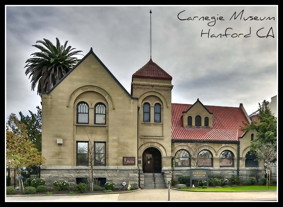
Carnegie Museum, Hanford CA
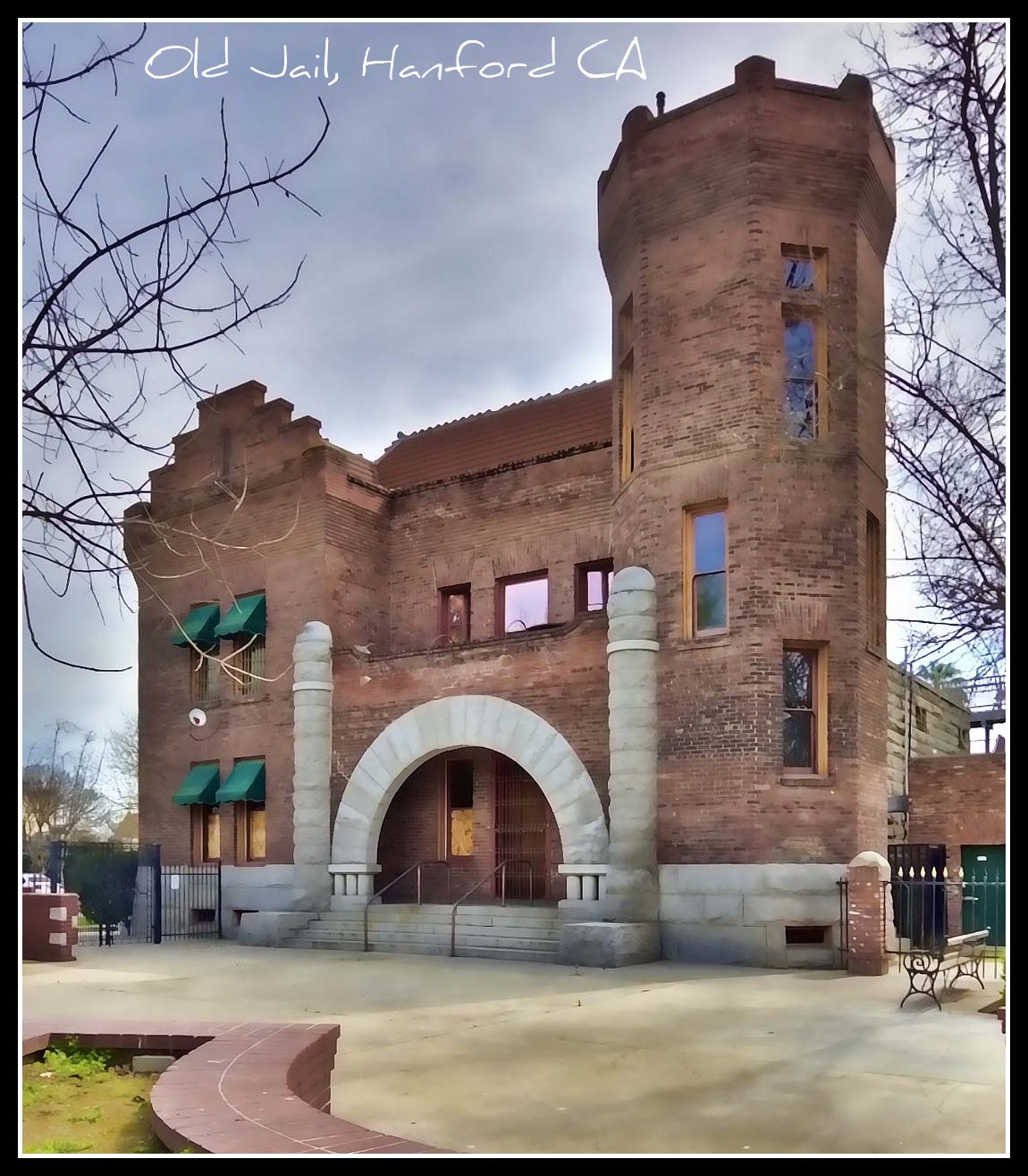
Old Jail House, Hanford CA
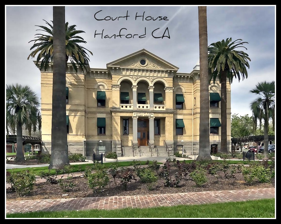
Court House, Hanford CA
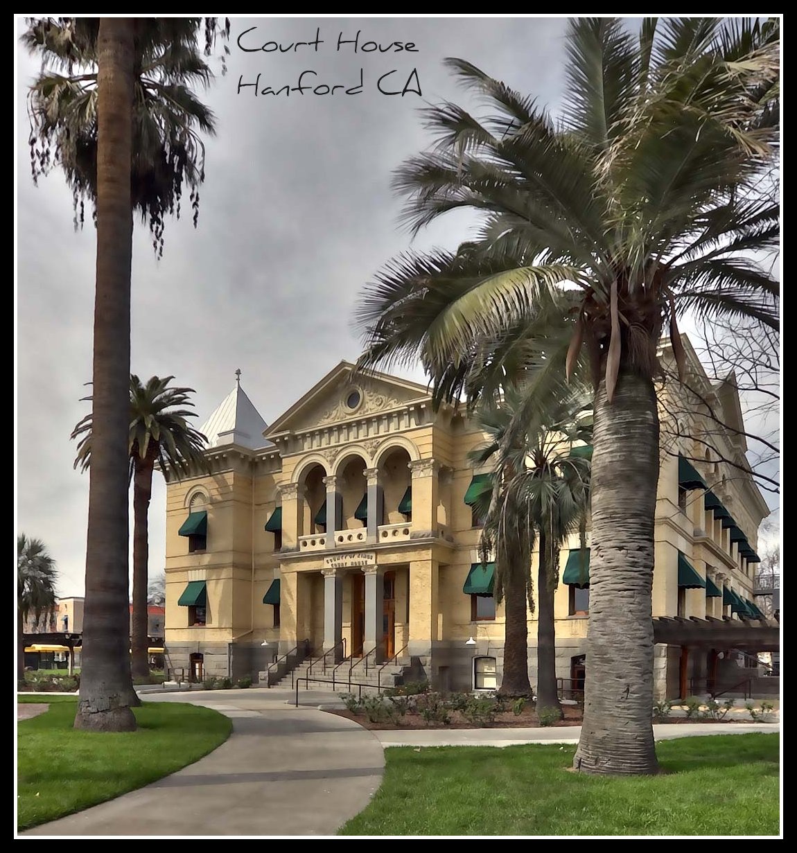
Court House, Hanford CA
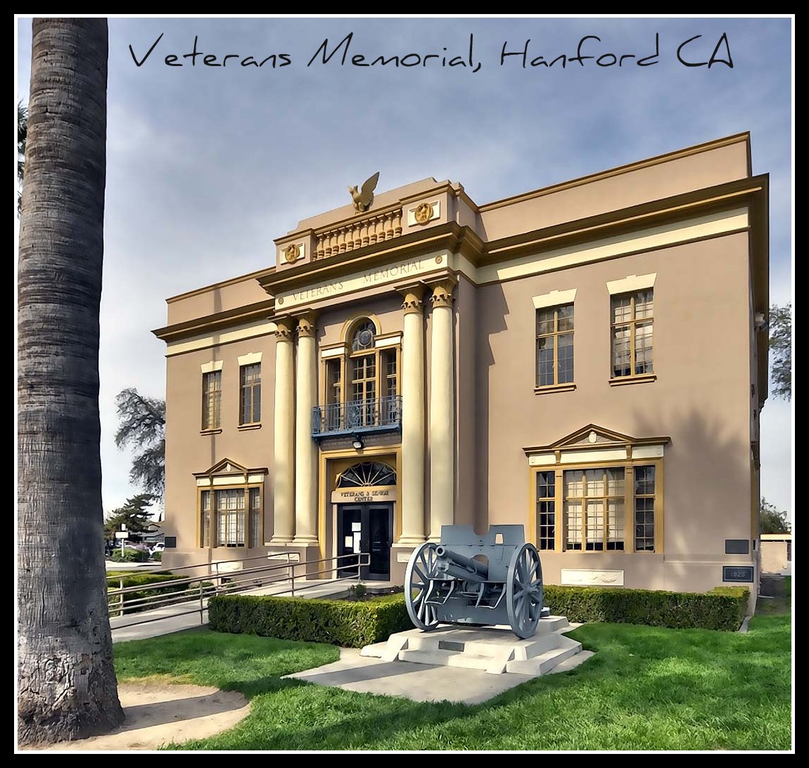
Veterans Memorial Building, Hanford CA

A View of one of the signals at Redington Street In Hanford

Over Where

A View of the Cantilever Signal at 11th Avenue

A View of 11th Avenue Crossing

A View of 12th Avenue Grade Crossing

Closer View of The Grade Crossing on Lacey Boulevard
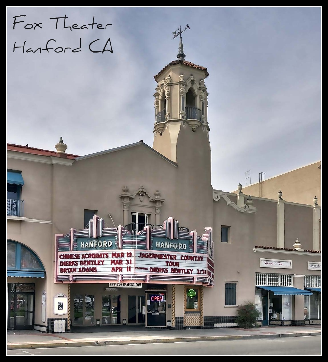
Fox Theater, Hanford CA

Down in the park
4 way stop
Flowers go bloom!
Drive home
Clark Center, Hanford

ducks 10
Guernsey, Aug 9, 2008
#californiasunset

Kings County Courthouse Dedication Ceremony in Hanford – Feb. 9, 2016
Day 20: Hanford
20141109_132739_E 7th St
Topographic Map of 1st Pl, Hanford, CA, USA
Find elevation by address:

Places near 1st Pl, Hanford, CA, USA:
121 E 3rd St
Davis St, Hanford, CA, USA
N Douty St, Hanford, CA, USA
Hanford
Lacey Blvd, Hanford, CA, USA
Vista Ave, Hanford, CA, USA
1585 Fitzgerald Ln
Fargo Ave, Hanford, CA, USA
Armona
9625 Kent Ave
Hackett St, Hanford, CA, USA
Grangeville Blvd, Hanford, CA, USA
Excelsior Ave, Hanford, CA, USA
6004 Kent Ave
Laton
Lemoore
Belle Haven Dr, Lemoore, CA, USA
E Mt Whitney Ave, Laton, CA, USA
15312 20th Ave
20554 Fargo Ave
Recent Searches:
- Elevation of 3 Nestling Wood Dr, Long Valley, NJ, USA
- Elevation of Ilungu, Tanzania
- Elevation of Yellow Springs Road, Yellow Springs Rd, Chester Springs, PA, USA
- Elevation of Rēzekne Municipality, Latvia
- Elevation of Plikpūrmaļi, Vērēmi Parish, Rēzekne Municipality, LV-, Latvia
- Elevation of 2 Henschke Ct, Caboolture QLD, Australia
- Elevation of Redondo Ave, Long Beach, CA, USA
- Elevation of Sadovaya Ulitsa, 20, Rezh, Sverdlovskaya oblast', Russia
- Elevation of Ulitsa Kalinina, 79, Rezh, Sverdlovskaya oblast', Russia
- Elevation of 72-31 Metropolitan Ave, Middle Village, NY, USA