Elevation map of Kings County, CA, USA
Location: United States > California >
Longitude: -119.88152
Latitude: 36.0988489
Elevation: 56m / 184feet
Barometric Pressure: 101KPa
Elevation Map:
Satellite Map:
Related Photos:
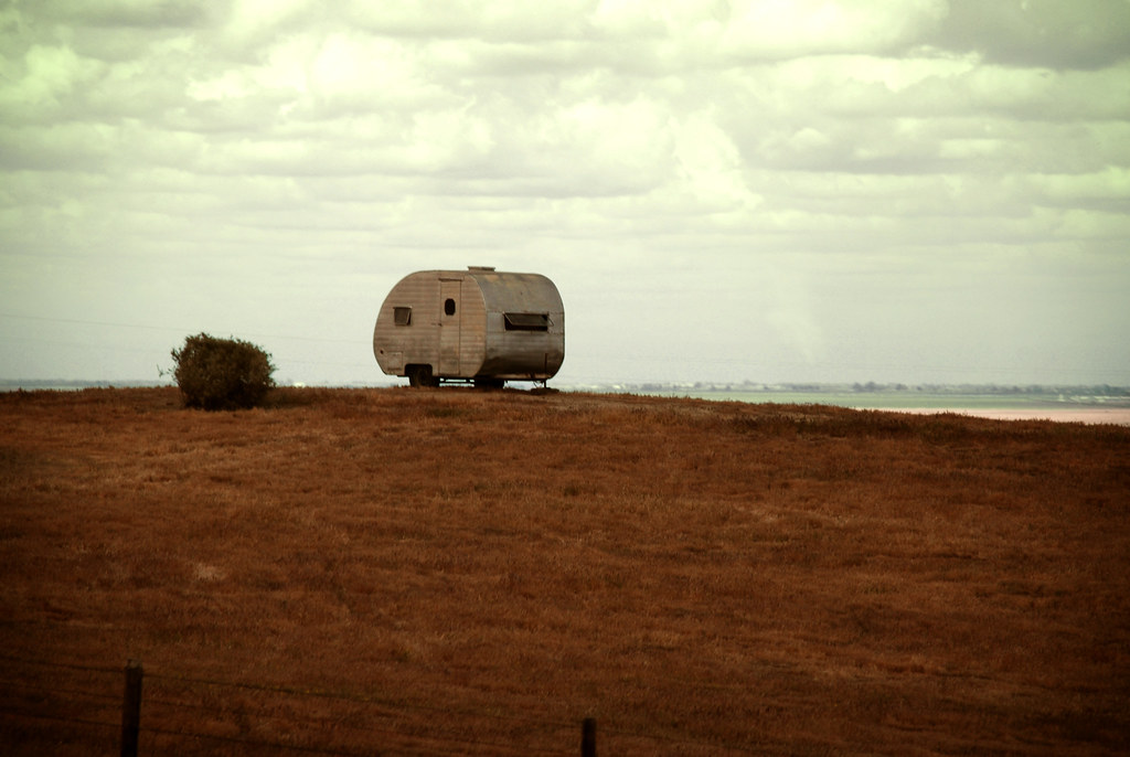
(away)

in-n-out burger. kettleman city, ca. 2012.

tasty burger. 2012.
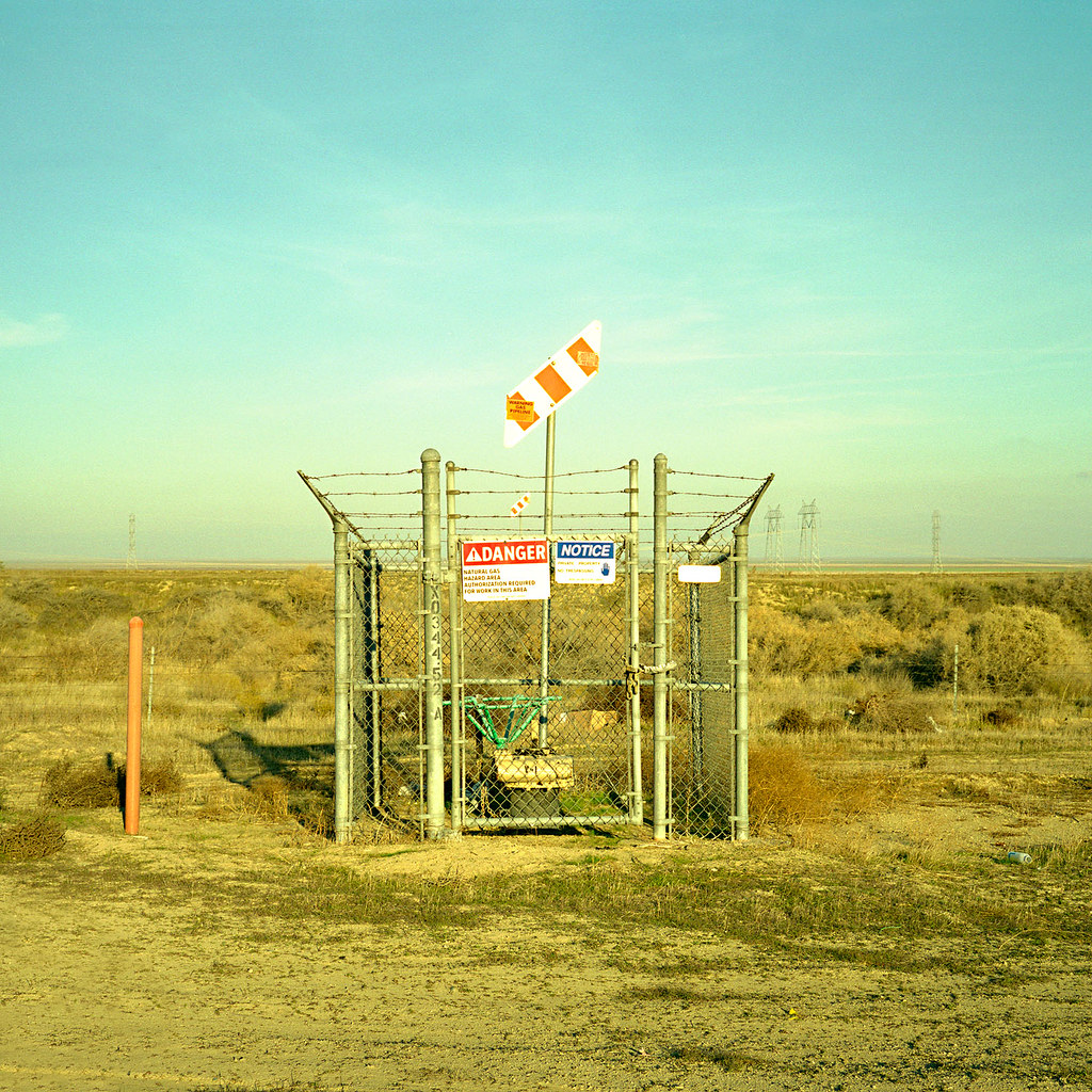
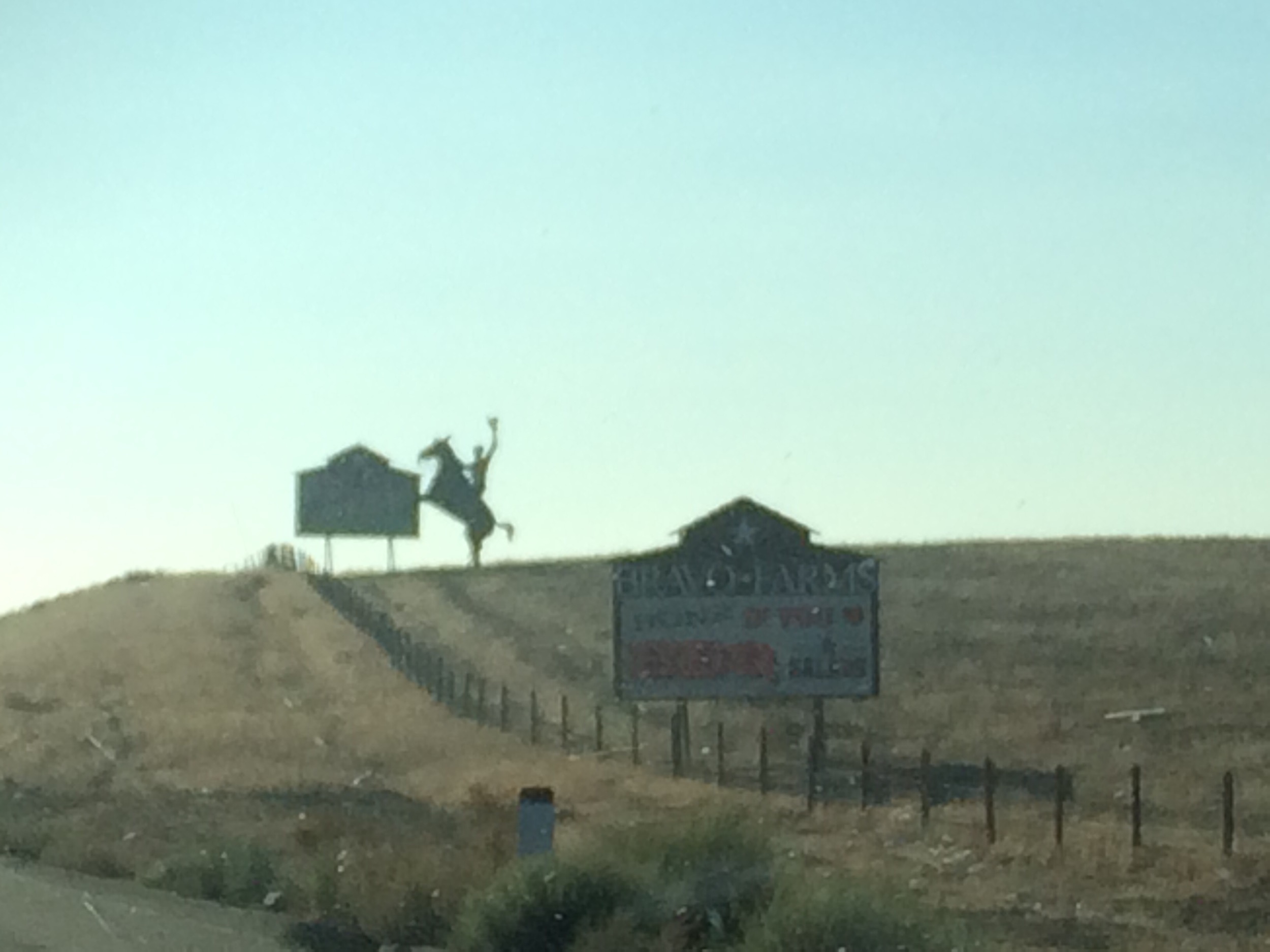
danger. kettleman city, ca. 2008.

Little Gull
The San Joaquin Valley - Nikon FE - Nikkor 28mm F/2.8 AI - Velvia 50

200 miles to the final destination. Soooo close... #california #CA #sunset #summer #roadtrip #instagood #iphonesia #photooftheday

half way home. <I-5 north; central California>

Usually packed full of wildlife back here.

Bird hangout ahead

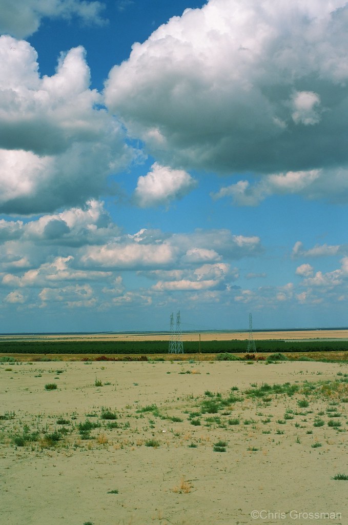
Hills and Valleys in California
YOU'RE DOING IT WRONG - #California
Recently Added-98

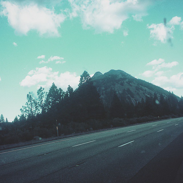
Low Sun, and Loooong Road... in California
Topographic Map of Kings County, CA, USA
Find elevation by address:

Places in Kings County, CA, USA:
Places near Kings County, CA, USA:
Main St, Stratford, CA, USA
Stratford
30th Ave, Kettleman City, CA, USA
Kettleman City
15312 20th Ave
Belle Haven Dr, Lemoore, CA, USA
Lemoore
Huron
Hydril Rd, Avenal, CA, USA
Skyline Blvd, Avenal, CA, USA
Avenal
CA-33, Kettleman City, CA, USA
20554 Fargo Ave
Armona
9625 Kent Ave
2523 North Ave
Hackett St, Hanford, CA, USA
410 Nimitz Ave
2323 North Ave
2352 Sherman Ave
Recent Searches:
- Elevation of Corso Fratelli Cairoli, 35, Macerata MC, Italy
- Elevation of Tallevast Rd, Sarasota, FL, USA
- Elevation of 4th St E, Sonoma, CA, USA
- Elevation of Black Hollow Rd, Pennsdale, PA, USA
- Elevation of Oakland Ave, Williamsport, PA, USA
- Elevation of Pedrógão Grande, Portugal
- Elevation of Klee Dr, Martinsburg, WV, USA
- Elevation of Via Roma, Pieranica CR, Italy
- Elevation of Tavkvetili Mountain, Georgia
- Elevation of Hartfords Bluff Cir, Mt Pleasant, SC, USA