Elevation of CA-33, Kettleman City, CA, USA
Location: United States > California > Kings County > Kettleman City >
Longitude: -120.04654
Latitude: 35.891155
Elevation: 170m / 558feet
Barometric Pressure: 99KPa
Elevation Map:
Satellite Map:
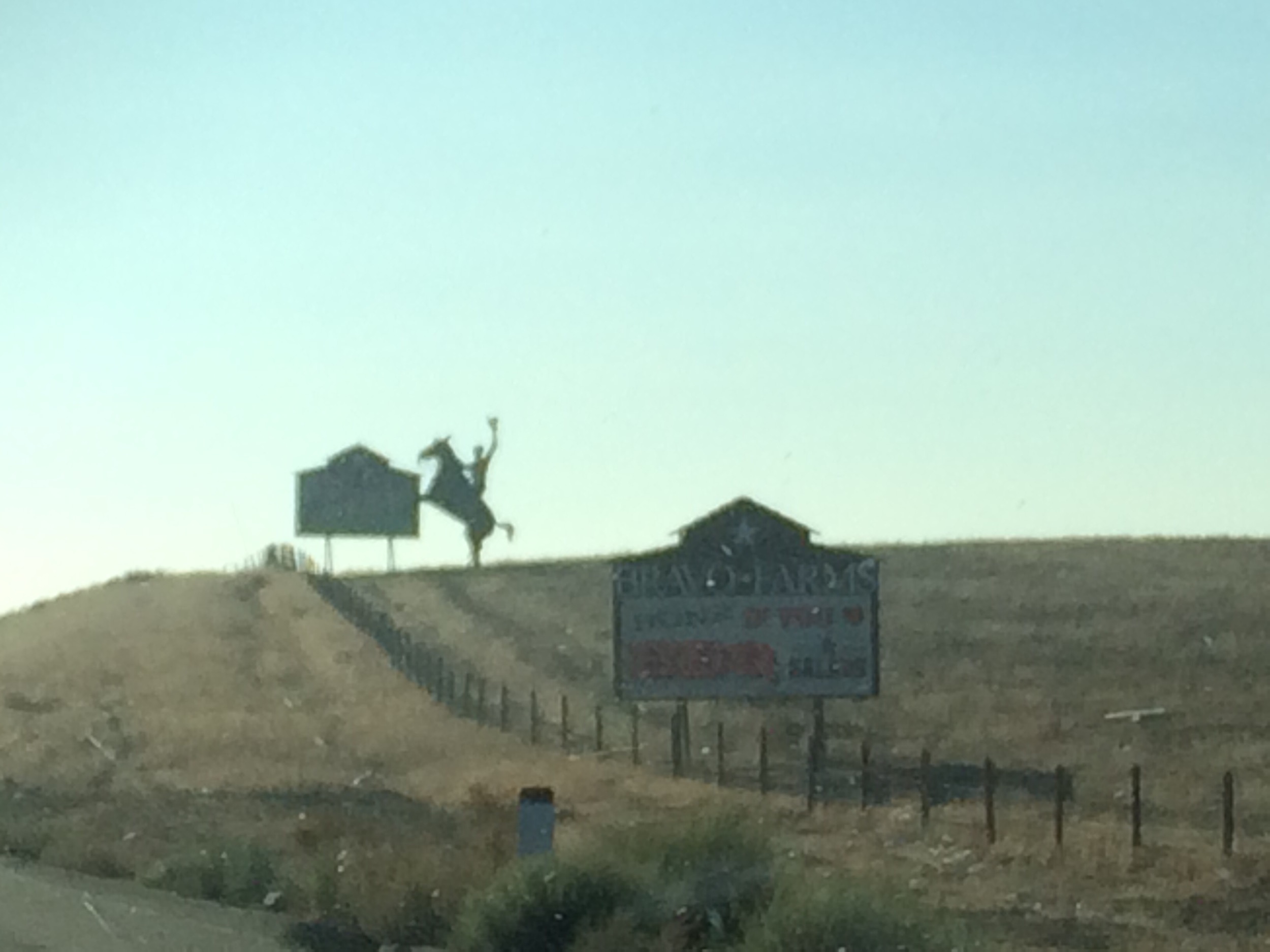
Related Photos:
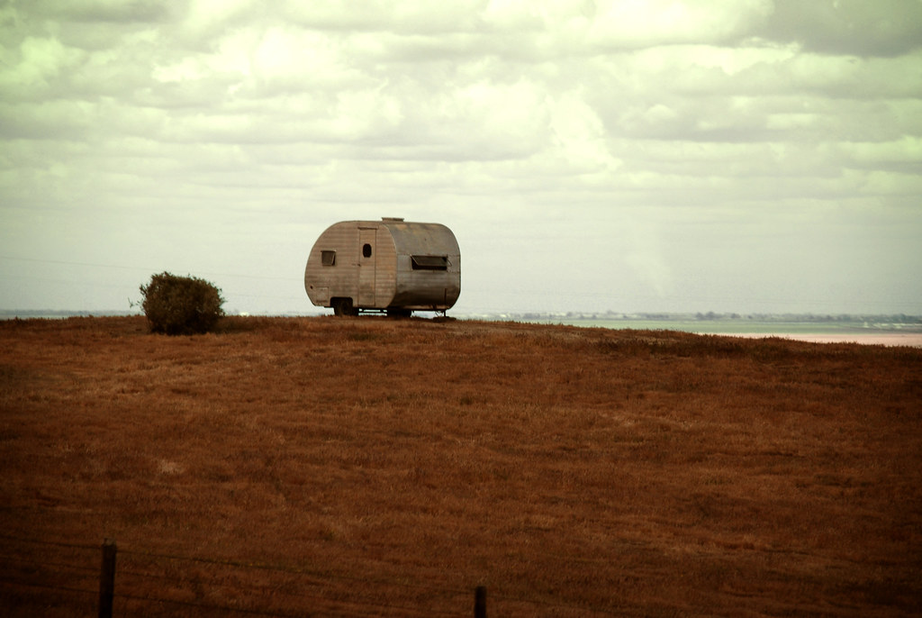
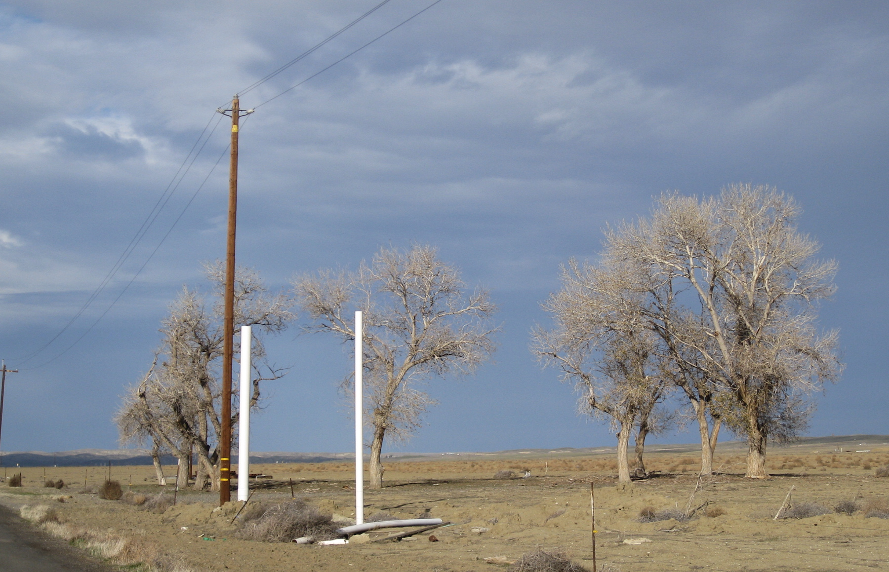
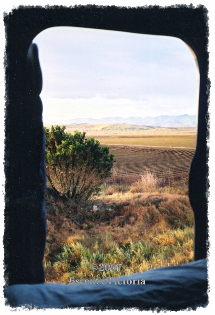
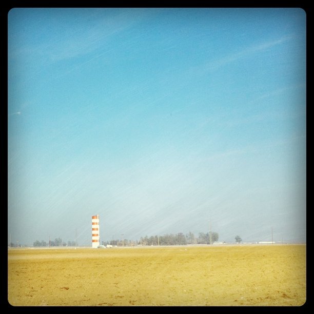
(away)

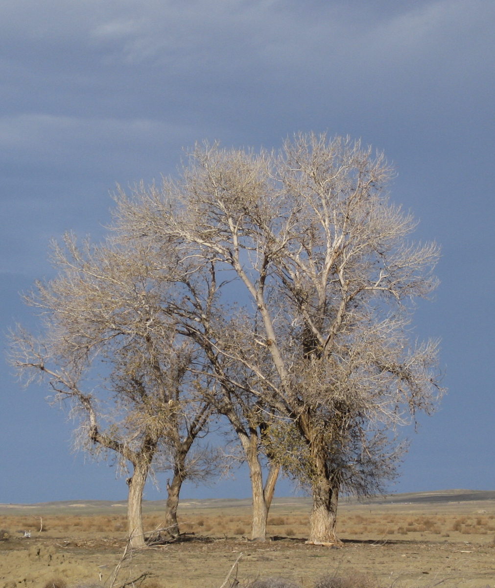
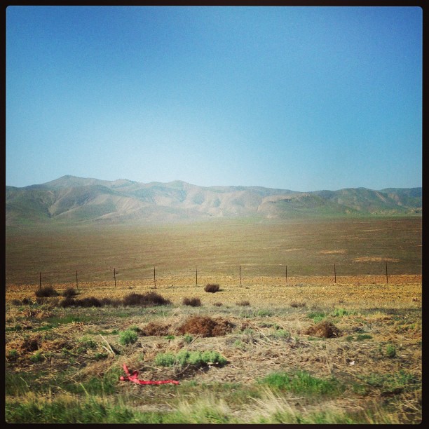
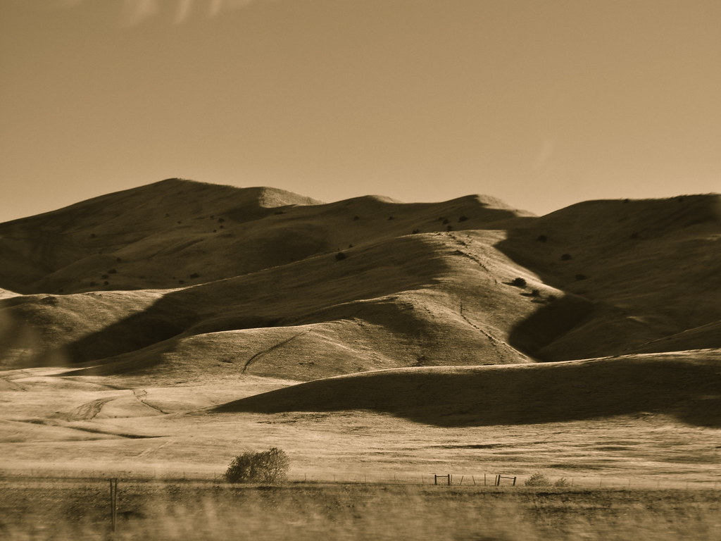
Pleasant Valley in Green and Gray

in-n-out burger. kettleman city, ca. 2012.
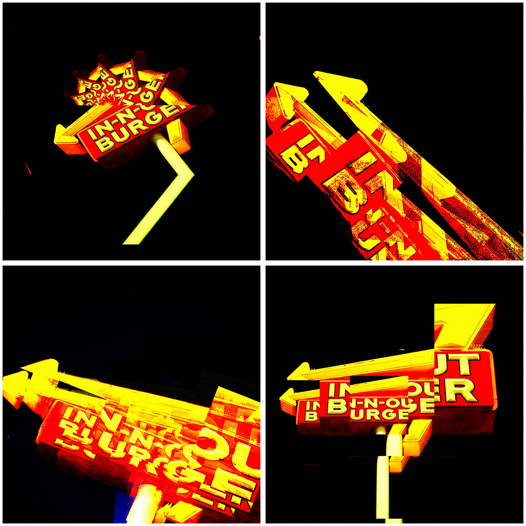
tasty burger. 2012.
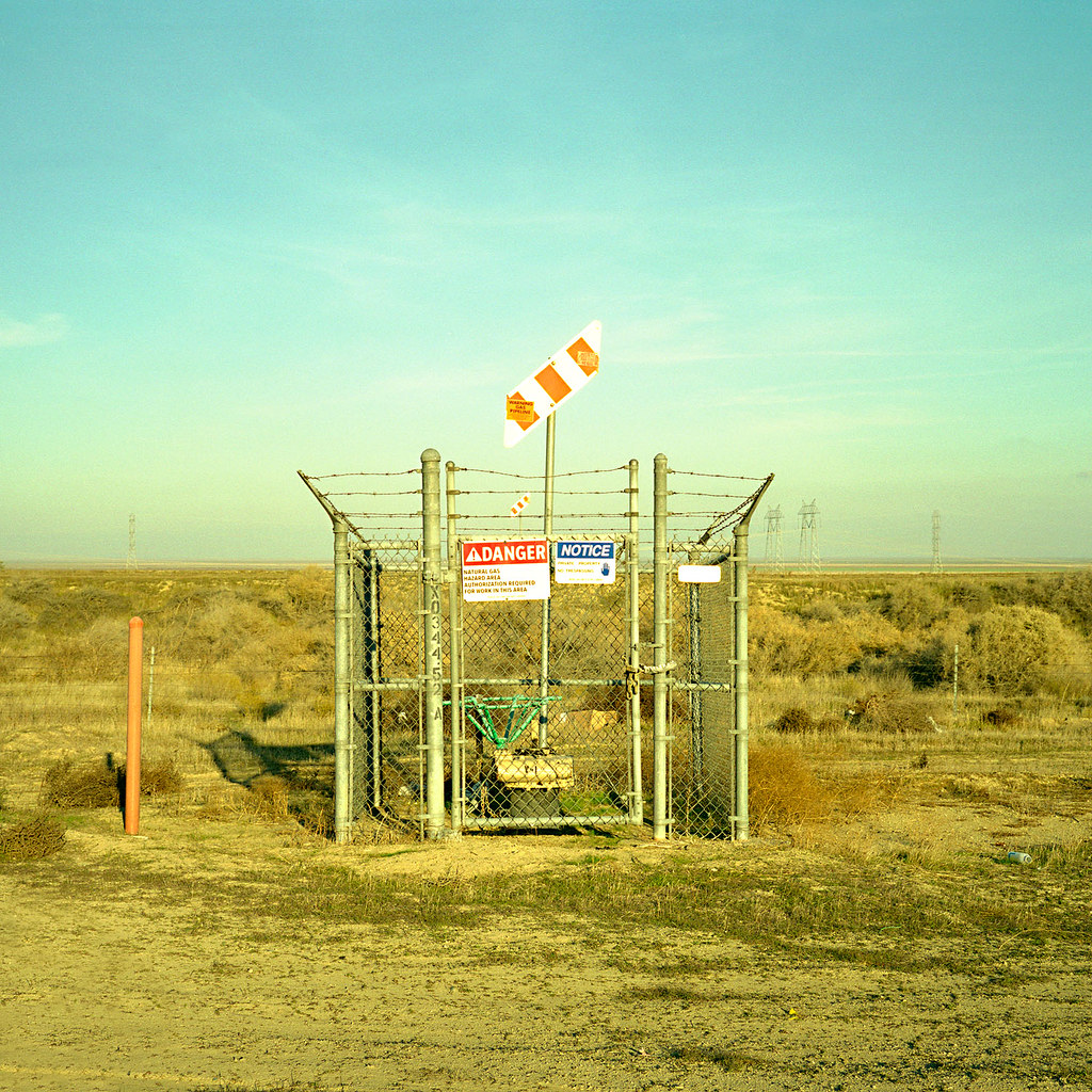
danger. kettleman city, ca. 2008.
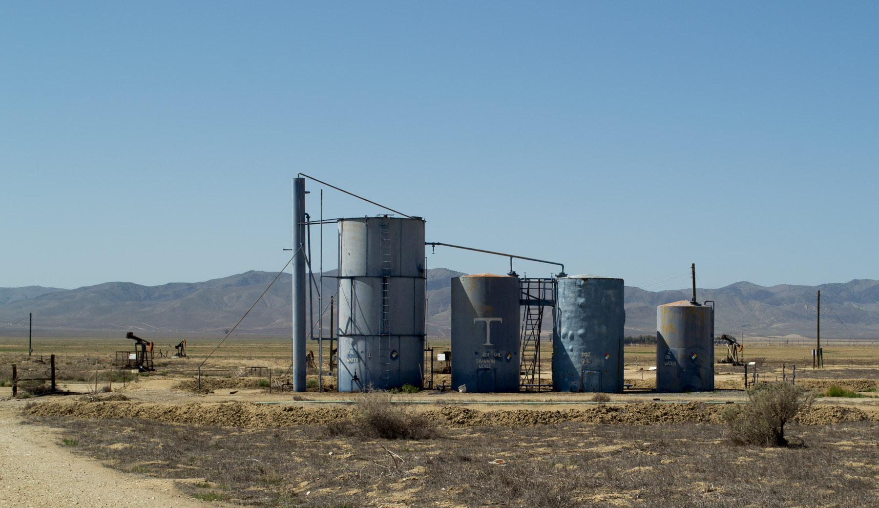
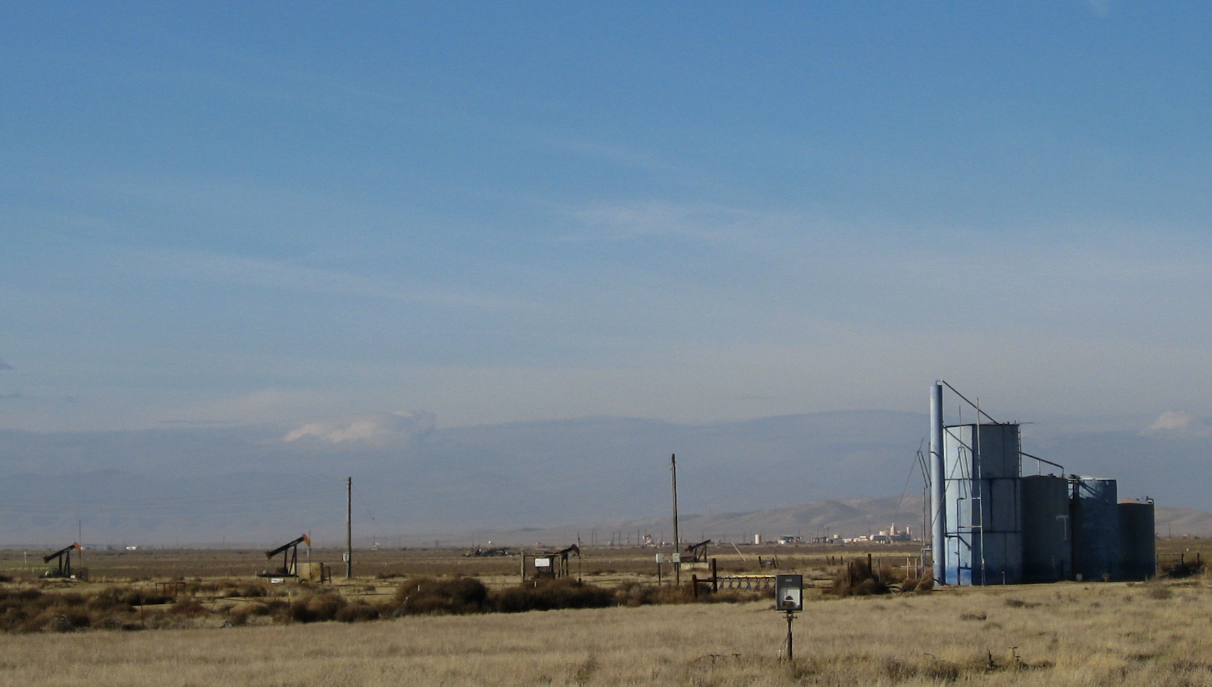
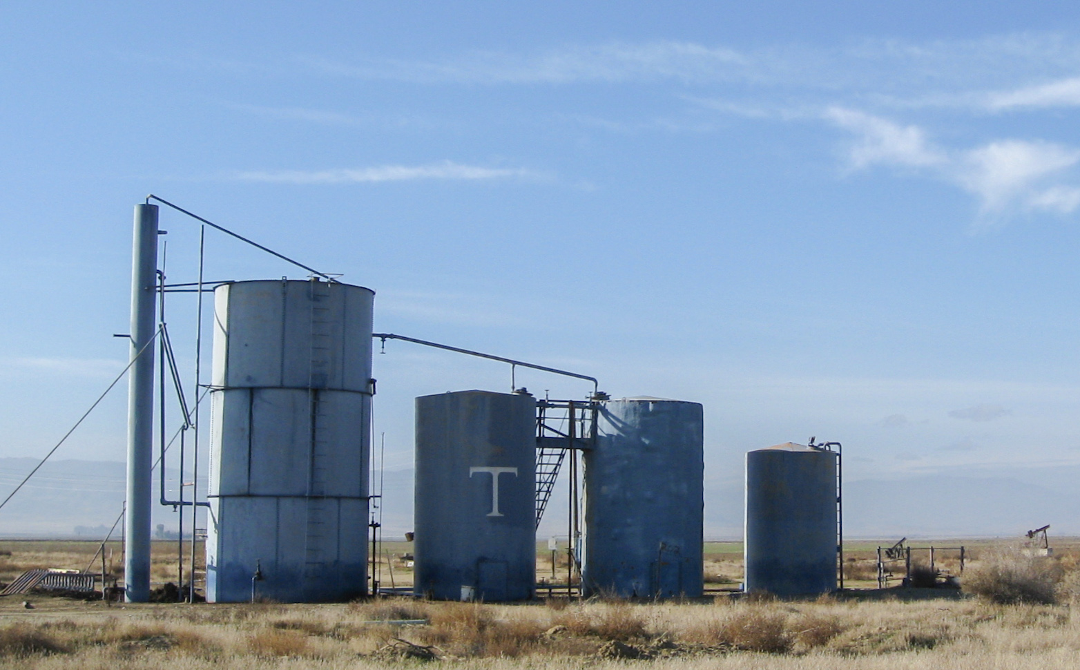
Pyramid Hills oil (1544)
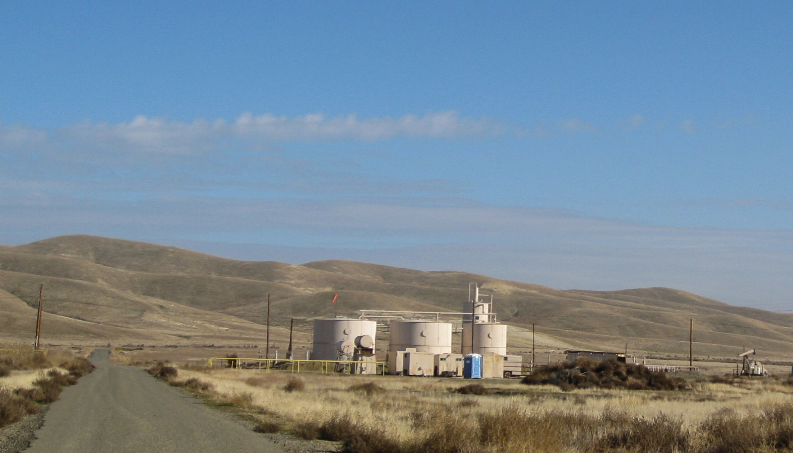
Pyramid Hills 1520a
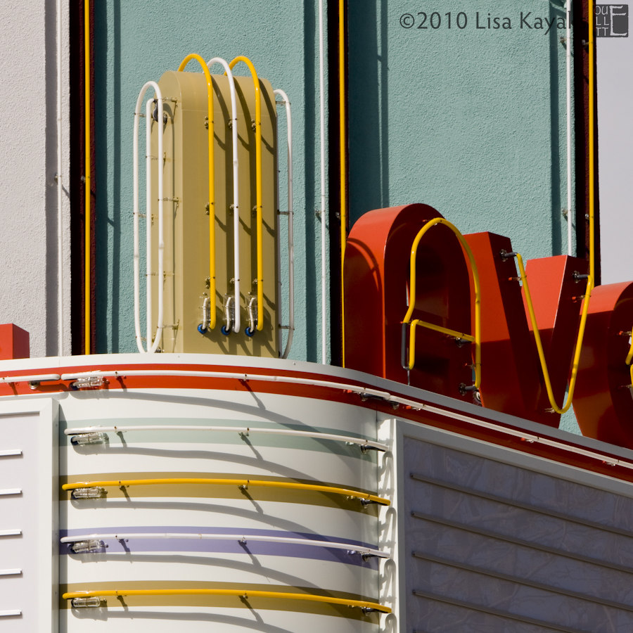
Avenal Theater
Pyramid Hills, CA oil (0691)
Pyramid Hills, CA oil (0689)
Pyramid Hills (1521)
Pyramid Hills, CA oil (0690)
Recently Added-106
Pyramid Hills, CA oil (1523)
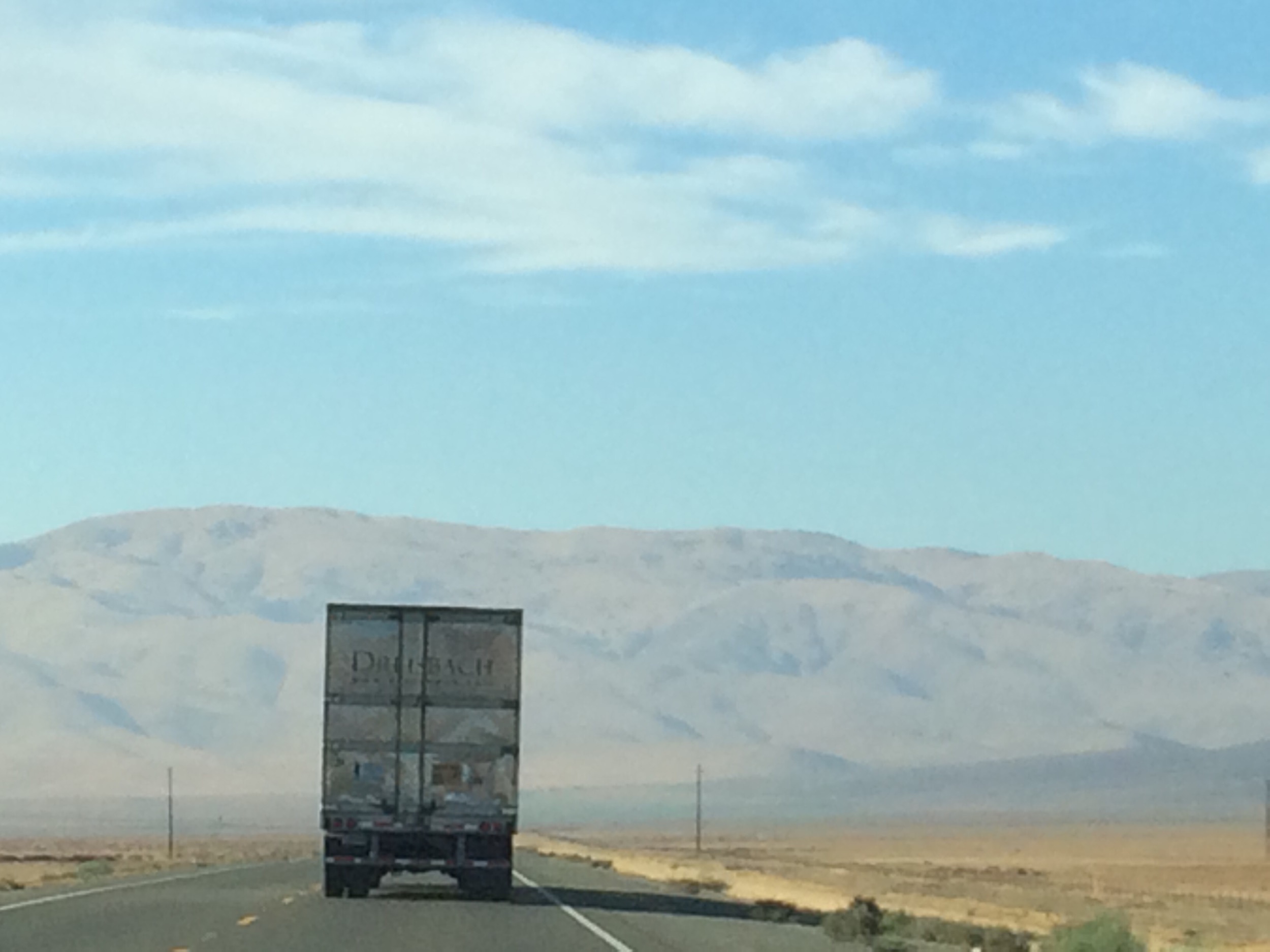
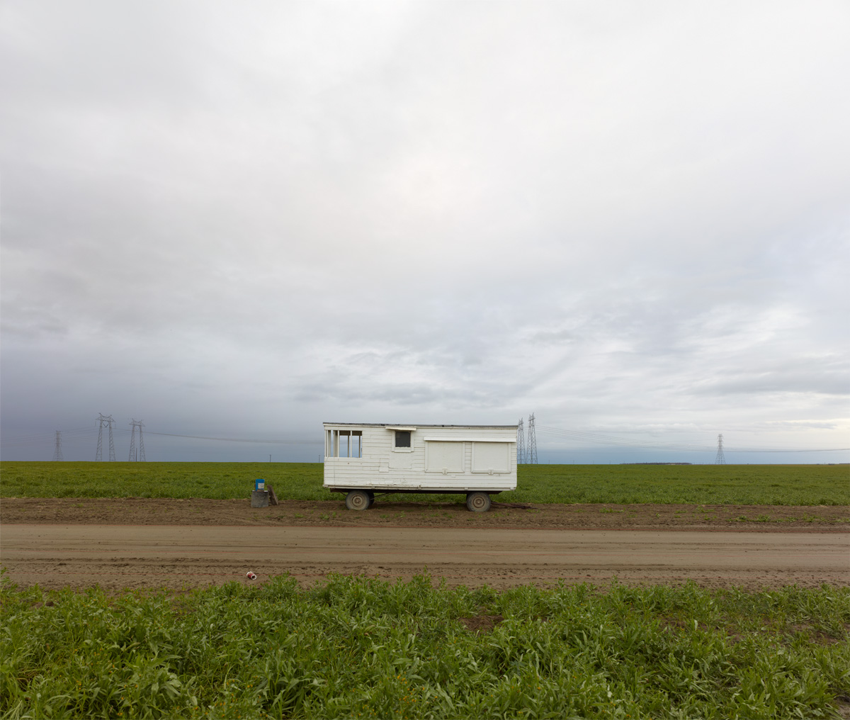
View from a Freightliner's Sleeper
0P65_2105-8
The San Joaquin Valley - Nikon FE - Nikkor 28mm F/2.8 AI - Velvia 50

april 2000. California (CA-41) near Cholame
Reef City
half way home. <I-5 north; central California>

I'm in the middle of Central California somewhere far from everything. #cali
San Luis Obispo County California
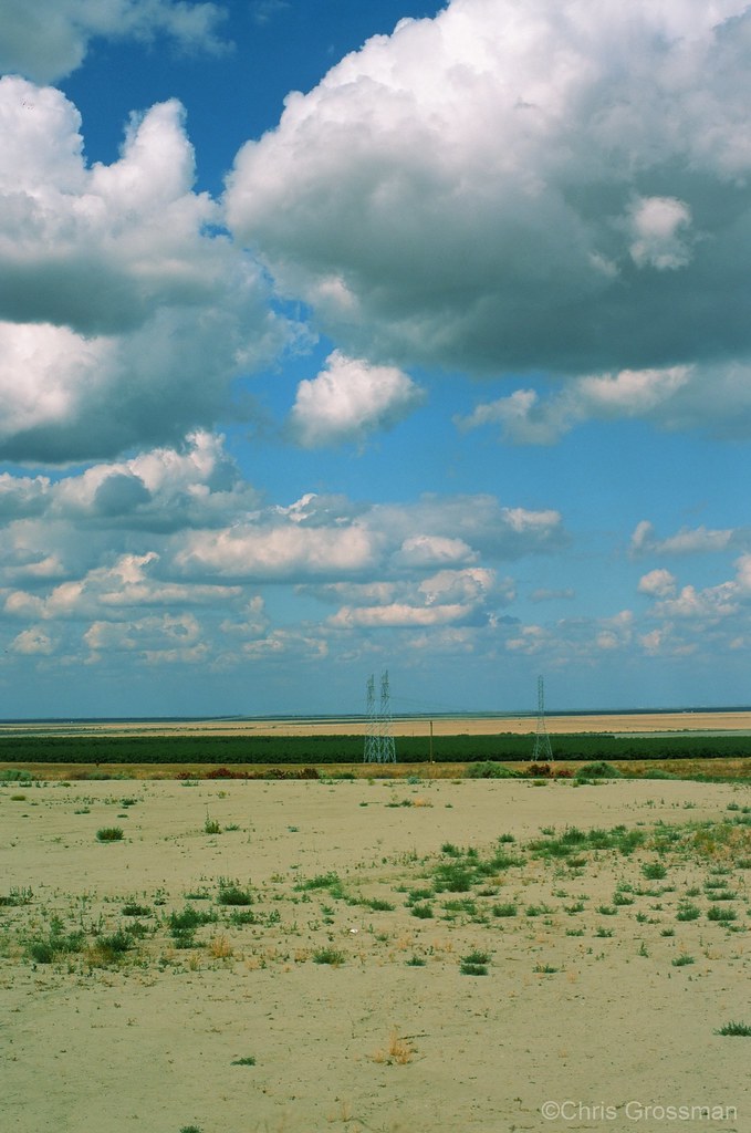
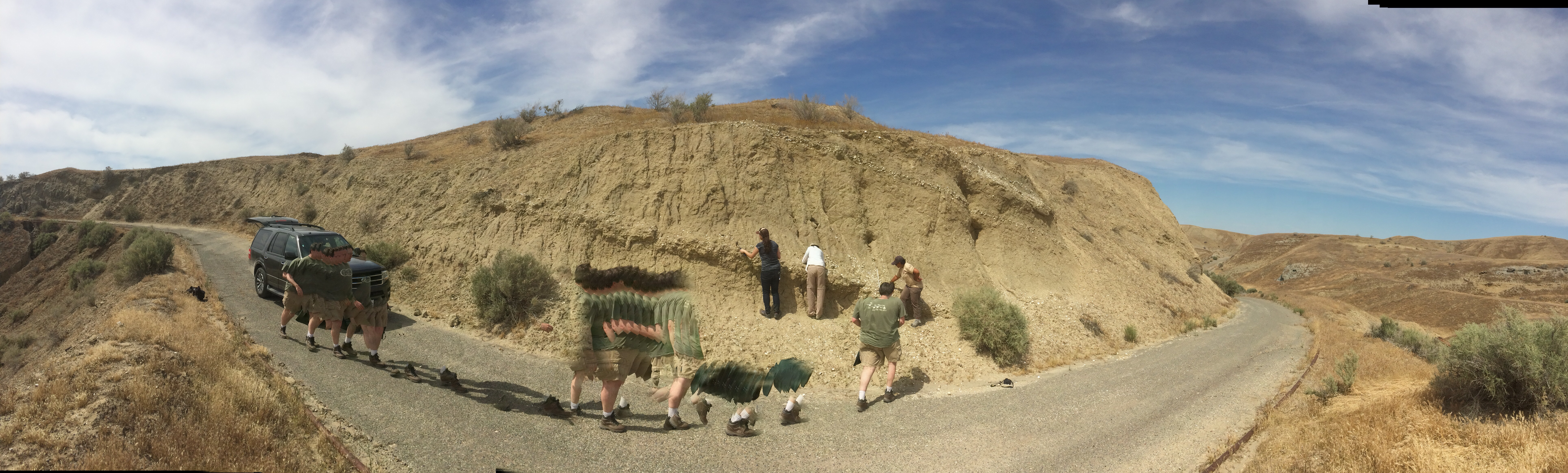
Mud Flow from Reef Ridge
Another little pano - with Rob on the move.

Disneyland or bust
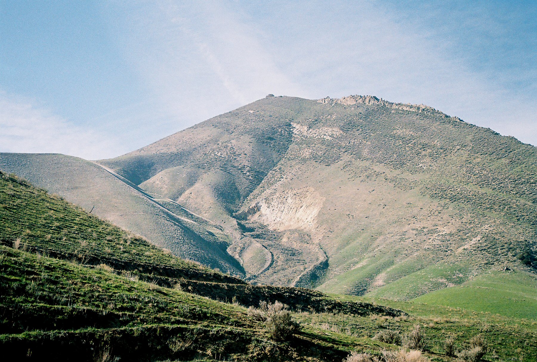
the inner coast range

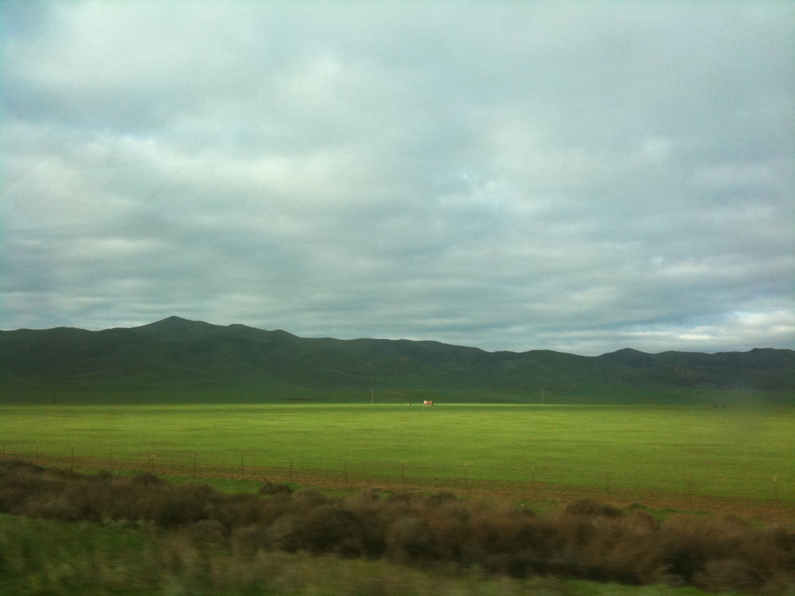
Hills and Valleys in California
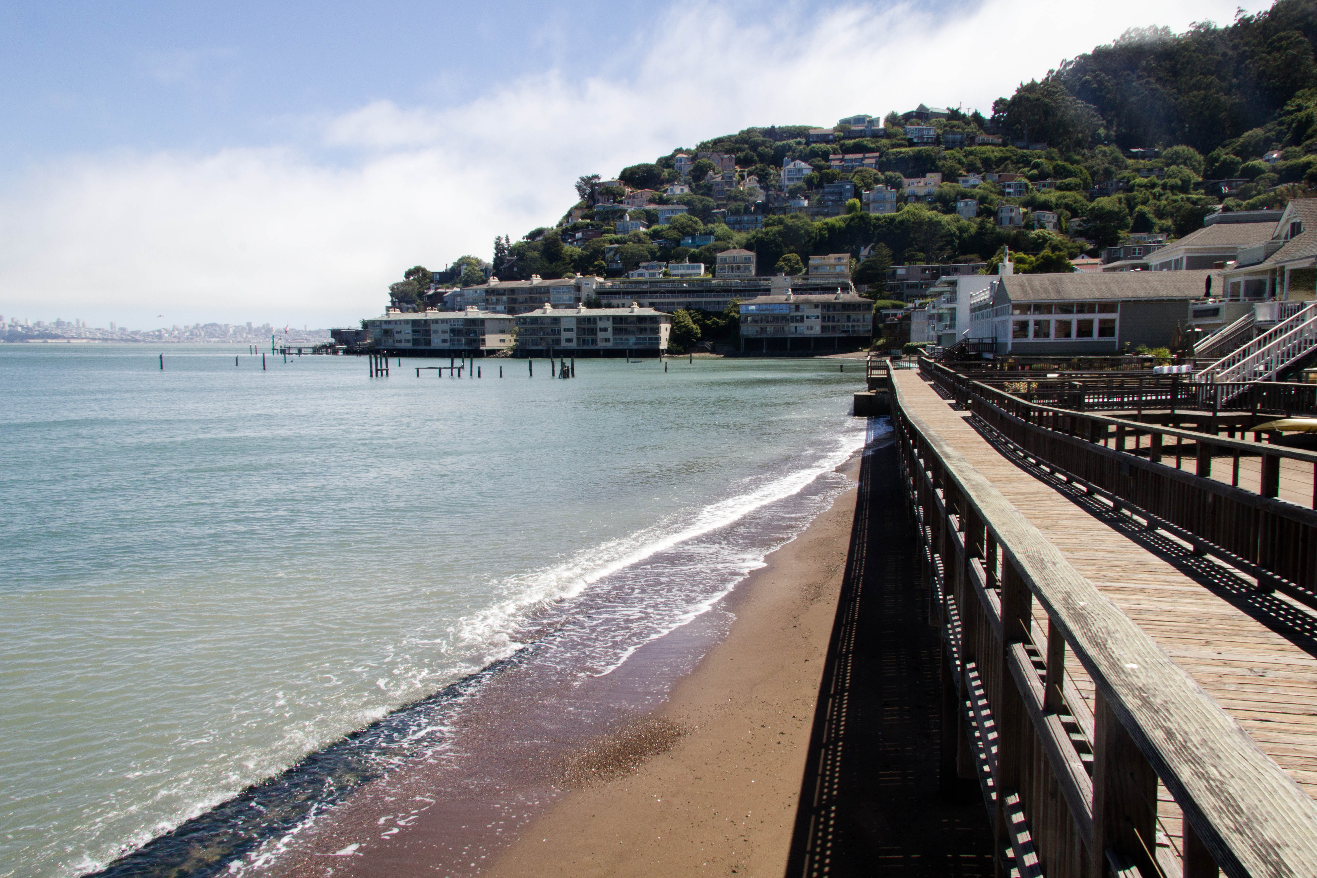
Beach, San Francisco
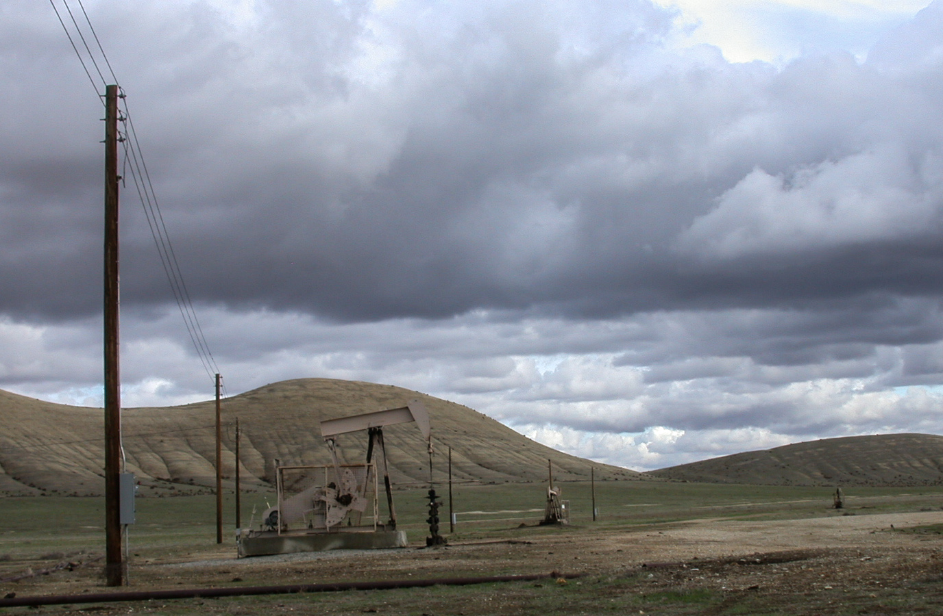
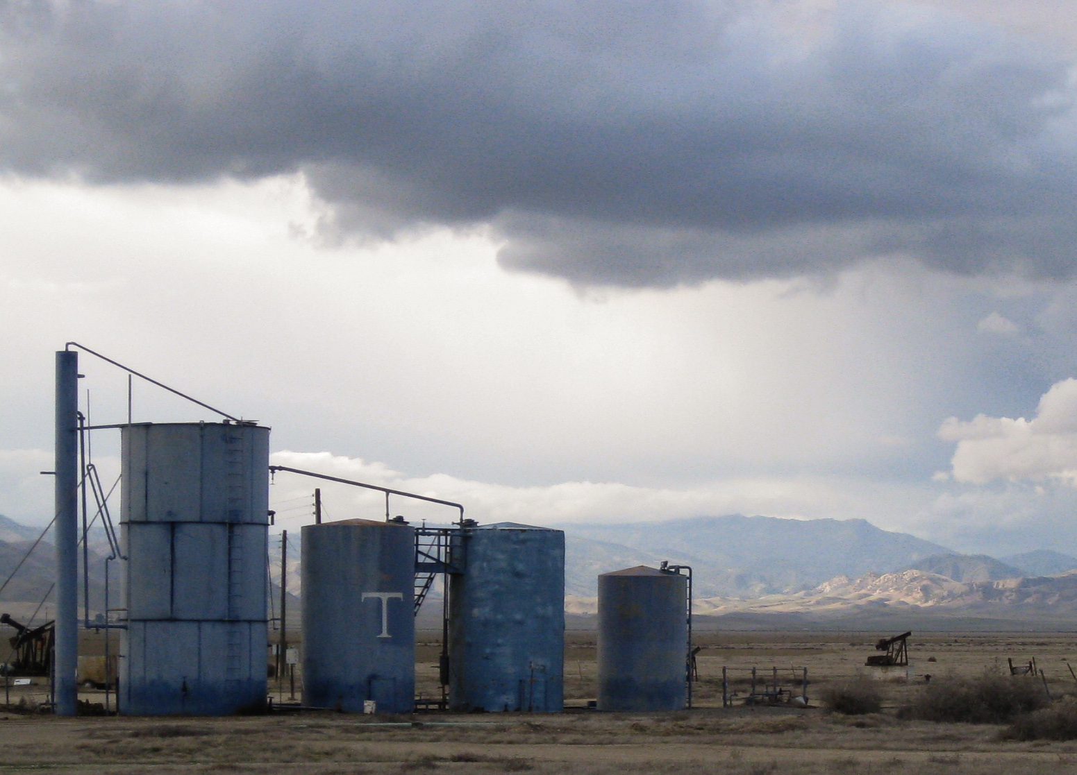
Oil field, Pyramid Hills, California (3976)
YOU'RE DOING IT WRONG - #California
Recently Added-98
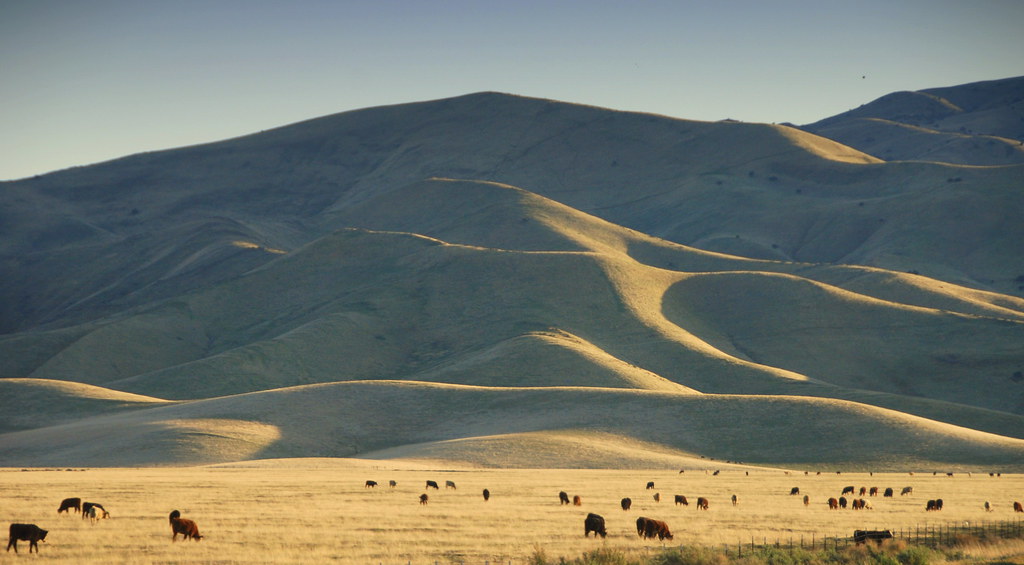
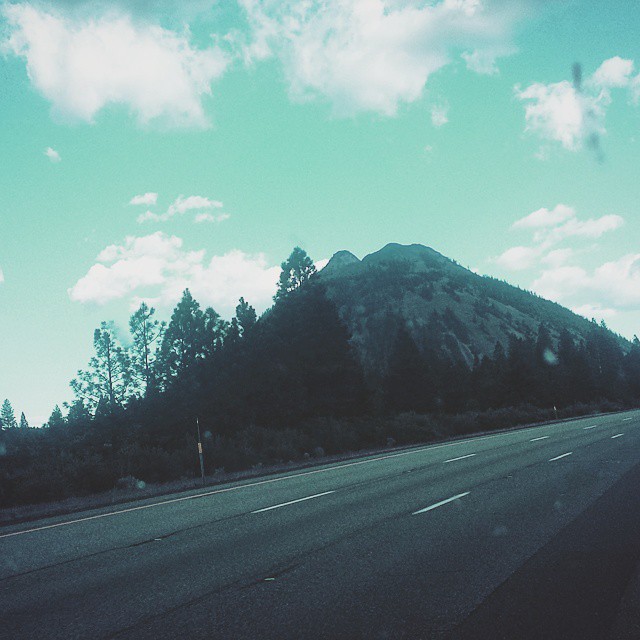
Cows with south slope of Orchard Peak as seen from highway 41, California
Topographic Map of CA-33, Kettleman City, CA, USA
Find elevation by address:

Places near CA-33, Kettleman City, CA, USA:
Hydril Rd, Avenal, CA, USA
Skyline Blvd, Avenal, CA, USA
Avenal
Kettleman City
30th Ave, Kettleman City, CA, USA
California 46
CA-46, Lost Hills, CA, USA
Kings County
2 Annette Rd, Shandon, CA, USA
Cholame
CA-46, Shandon, CA, USA
40475 S El Dorado Ave
40475 S El Dorado Ave
40475 S El Dorado Ave
Turkey Flat Rd, San Miguel, CA, USA
Huron
Blackwells Corner
CA-46, Lost Hills, CA, USA
3160 Gillis Cyn Rd
Main St, Stratford, CA, USA
Recent Searches:
- Elevation of Jadagoniai, Kaunas District Municipality, Lithuania
- Elevation of Pagonija rock, Kranto 7-oji g. 8"N, Kaunas, Lithuania
- Elevation of Co Rd 87, Jamestown, CO, USA
- Elevation of Tenjo, Cundinamarca, Colombia
- Elevation of Côte-des-Neiges, Montreal, QC H4A 3J6, Canada
- Elevation of Bobcat Dr, Helena, MT, USA
- Elevation of Zu den Ihlowbergen, Althüttendorf, Germany
- Elevation of Badaber, Peshawar, Khyber Pakhtunkhwa, Pakistan
- Elevation of SE Heron Loop, Lincoln City, OR, USA
- Elevation of Slanický ostrov, 01 Námestovo, Slovakia