Elevation of CA-46, Shandon, CA, USA
Location: United States > California > San Luis Obispo County > Shandon >
Longitude: -120.29703
Latitude: 35.7233553
Elevation: 357m / 1171feet
Barometric Pressure: 97KPa
Elevation Map:
Satellite Map:
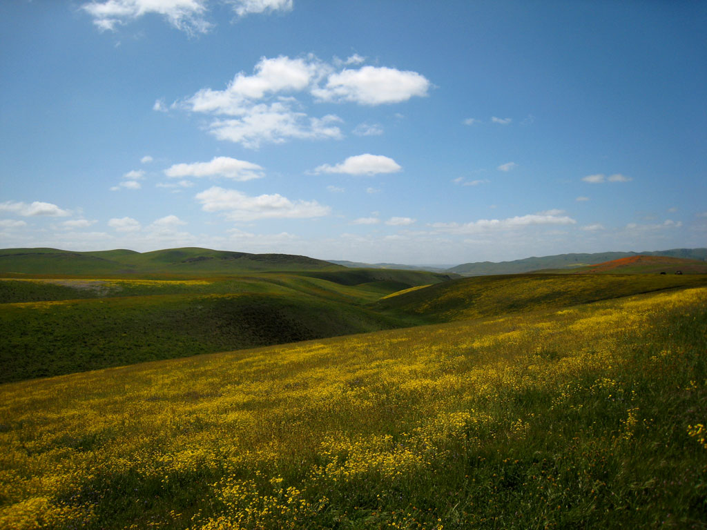
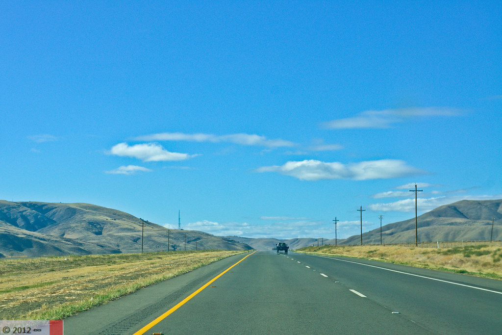
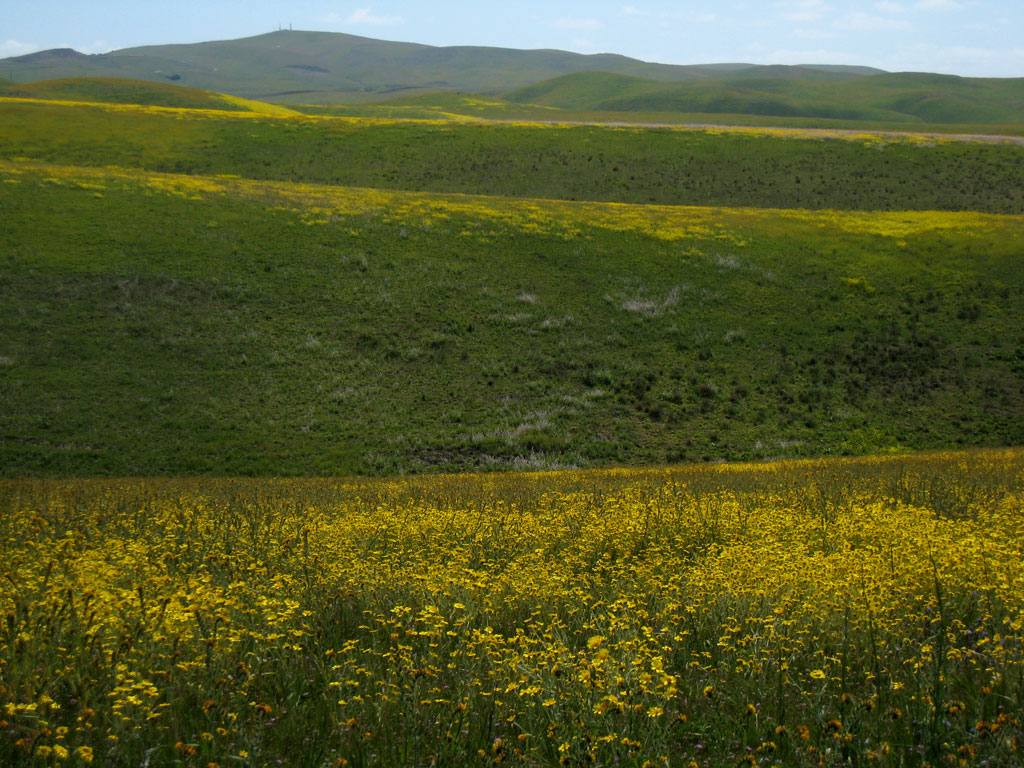
Related Photos:

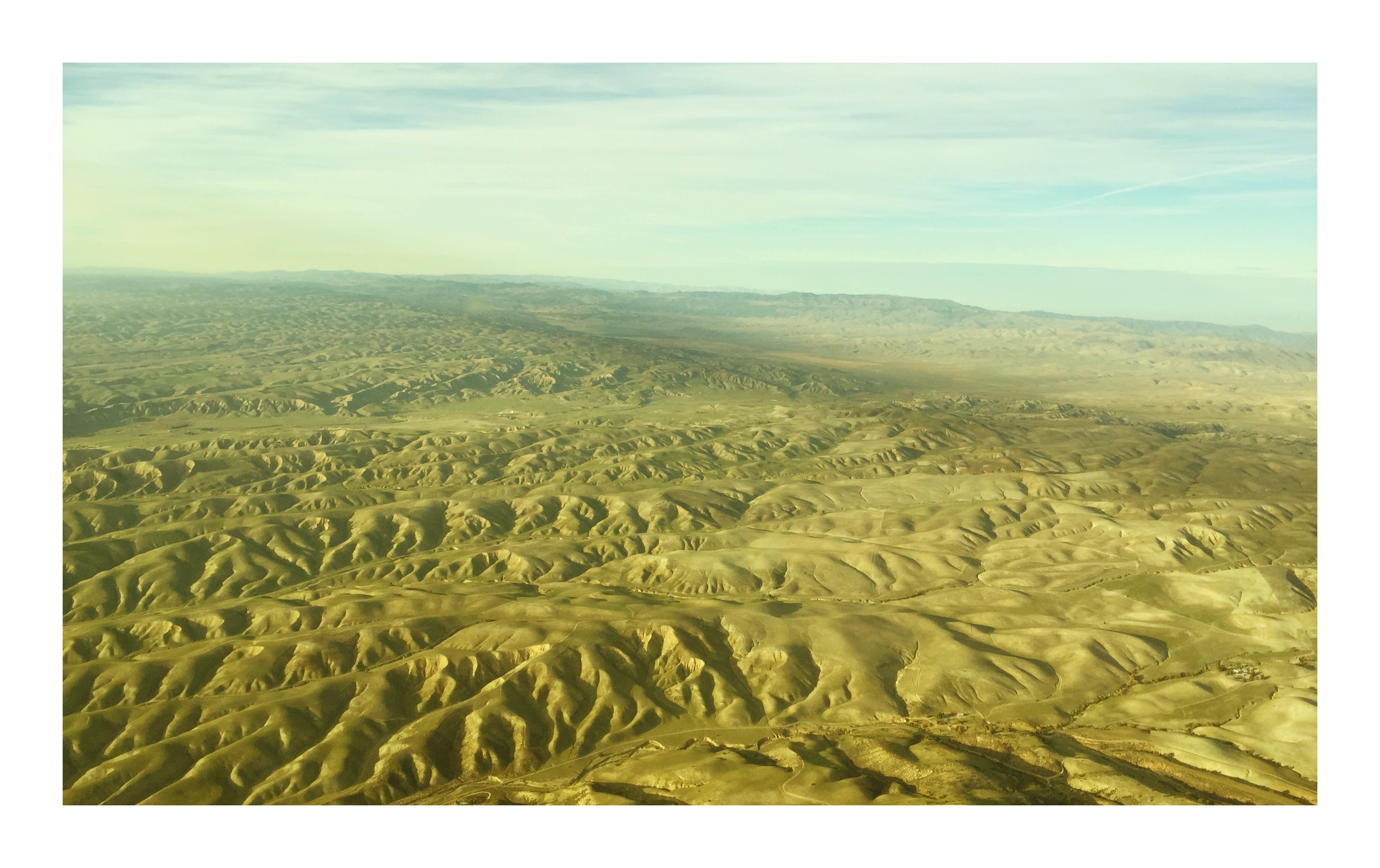
Aerial view of the San Andreas Fault and Annette Road, San Luis Obispo County, California
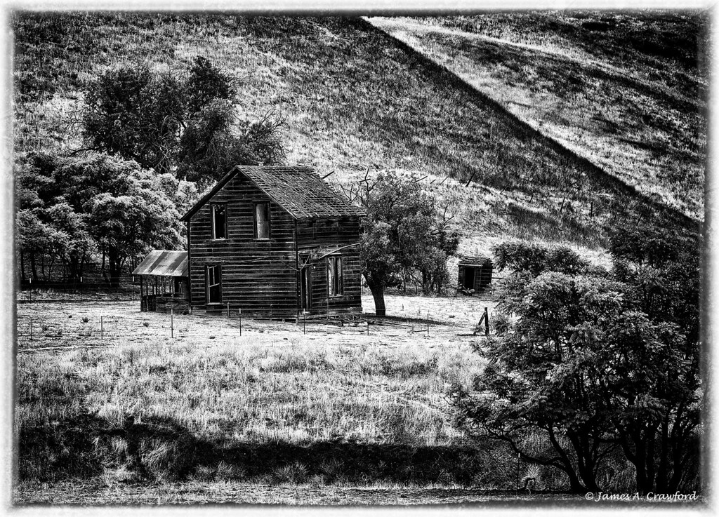
Worn Out Farmhouse B&W

chapel on a hill: shandon, california
Heading to Paso Robles

Breathe Deep

James Dean's Last Ride

Moonrise Flowers
Long Way Home

Tree Ridge
2008033016.jpg

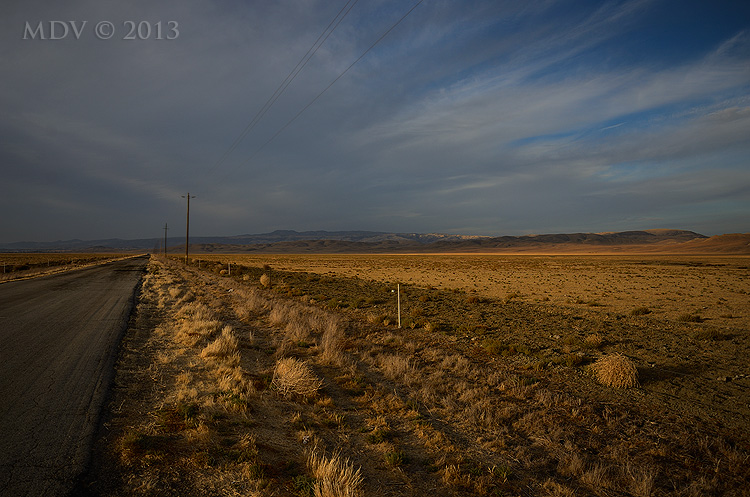
Shell Creek Road a week later

San Andreas fault
2008033015.jpg
Wide Open Road
2008033017.jpg

Highway 41 Revisited
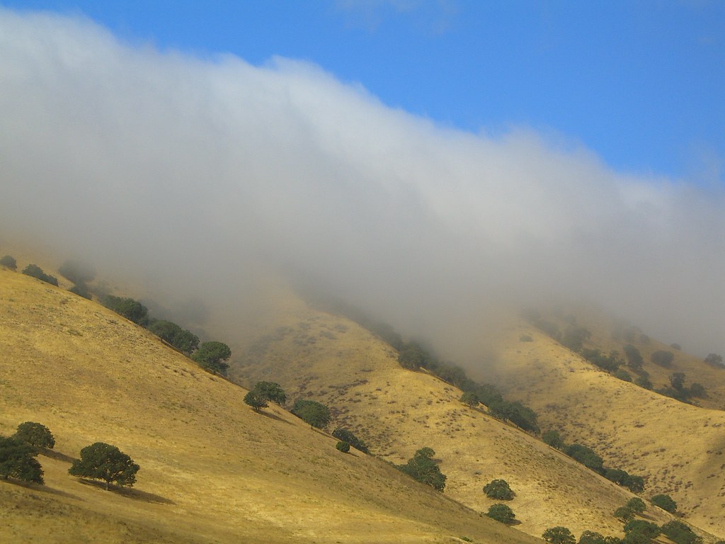
The Fog Creeps In

Highway 41 Revisited 2
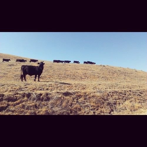
Touring cows

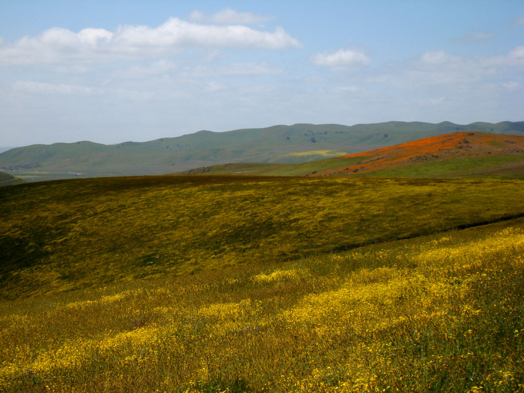
Rolling Green

Rest Stop Vista

july 12 009
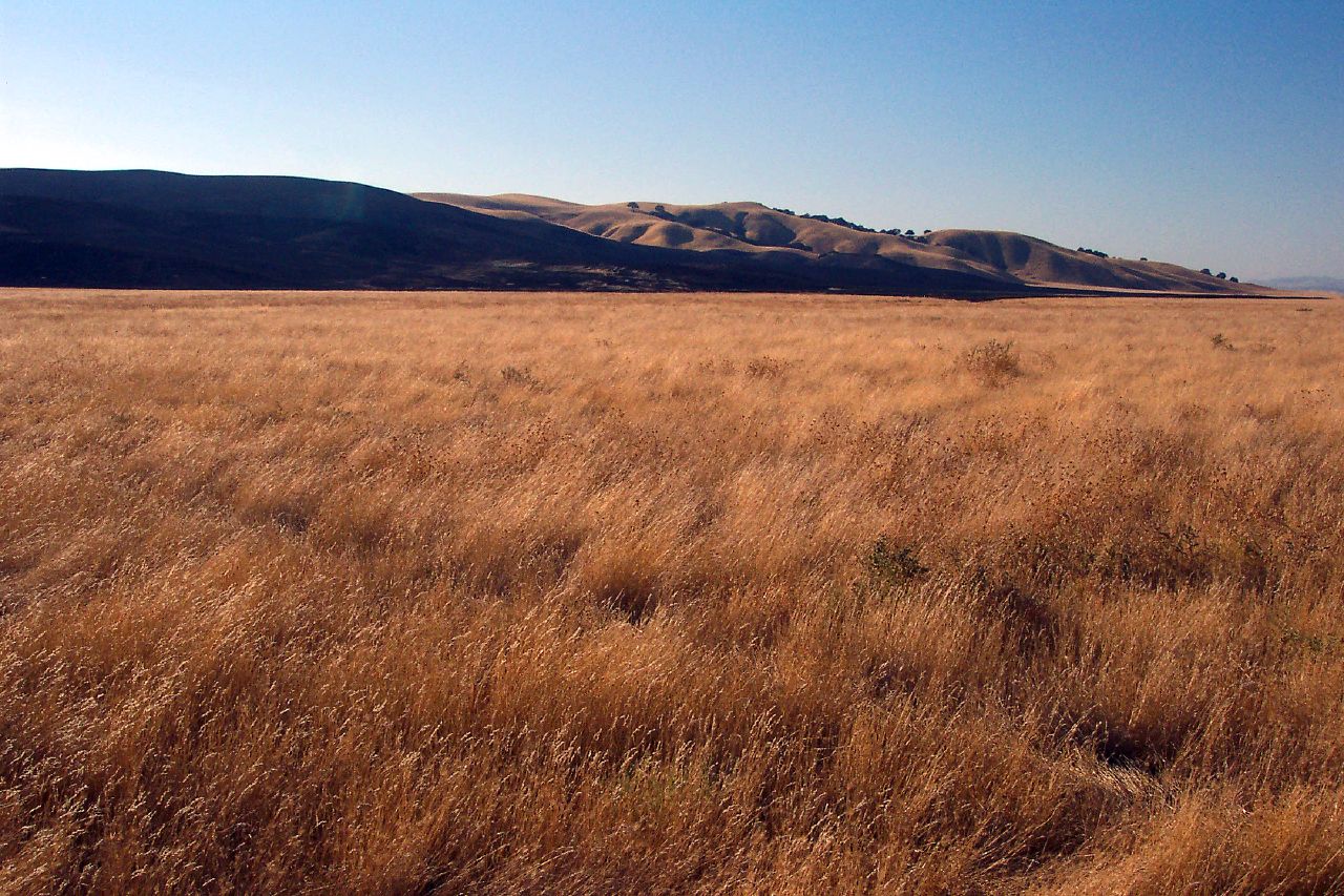
Cholame Hills
Topographic Map of CA-46, Shandon, CA, USA
Find elevation by address:

Places near CA-46, Shandon, CA, USA:
Cholame
3160 Gillis Cyn Rd
Shandon
E Centre St, Shandon, CA, USA
2 Annette Rd, Shandon, CA, USA
3030 Cammatti Shandon Rd
Turkey Flat Rd, San Miguel, CA, USA
California 46
Shell Creek Road
Ross Dr, Paso Robles, CA, USA
CA-46, Lost Hills, CA, USA
3510 Yosemite Pl
5205 Estrella Rd
76275 Ranchita Ave
4185 N Ryan Rd
5864 Iron Gate Rd
CA-33, Kettleman City, CA, USA
Creston
Webster Rd, Creston, CA, USA
835 Cripple Creek Rd
Recent Searches:
- Elevation of Congressional Dr, Stevensville, MD, USA
- Elevation of Bellview Rd, McLean, VA, USA
- Elevation of Stage Island Rd, Chatham, MA, USA
- Elevation of Shibuya Scramble Crossing, 21 Udagawacho, Shibuya City, Tokyo -, Japan
- Elevation of Jadagoniai, Kaunas District Municipality, Lithuania
- Elevation of Pagonija rock, Kranto 7-oji g. 8"N, Kaunas, Lithuania
- Elevation of Co Rd 87, Jamestown, CO, USA
- Elevation of Tenjo, Cundinamarca, Colombia
- Elevation of Côte-des-Neiges, Montreal, QC H4A 3J6, Canada
- Elevation of Bobcat Dr, Helena, MT, USA