Elevation of Shandon, CA, USA
Location: United States > California > San Luis Obispo County >
Longitude: -120.37543
Latitude: 35.6552464
Elevation: 317m / 1040feet
Barometric Pressure: 98KPa
Elevation Map:
Satellite Map:
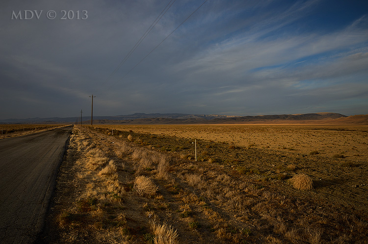
Related Photos:

Hidden California
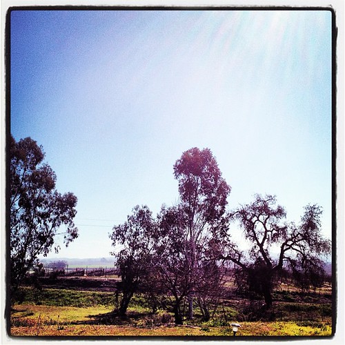
Beautiful view from the Yellow Rose Inn.
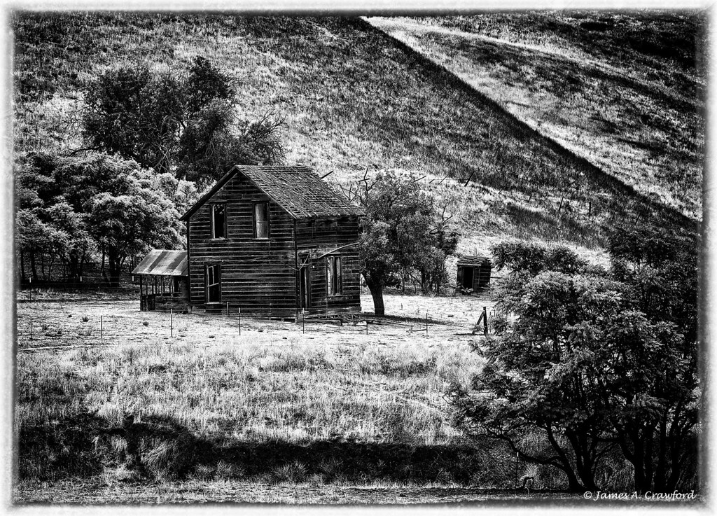
Worn Out Farmhouse B&W

chapel on a hill: shandon, california

Highway 46
DSC_5721.JPG

James Dean's Last Ride

A glorious drive!
Heading to Paso Robles

What IS this?
Long Way Home
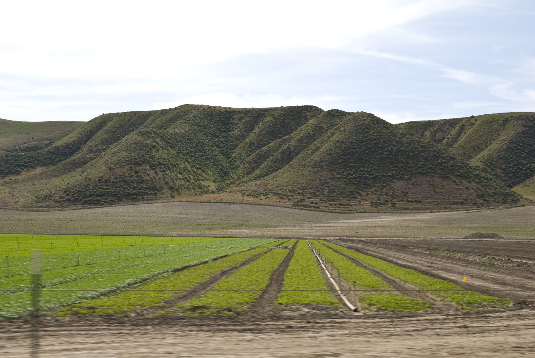
Passing Fields

halfway up the hill
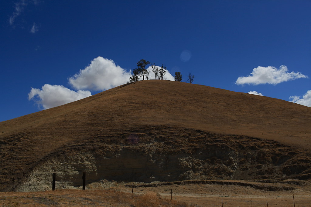
side road

Tree Ridge
Shell Creek Road a week later
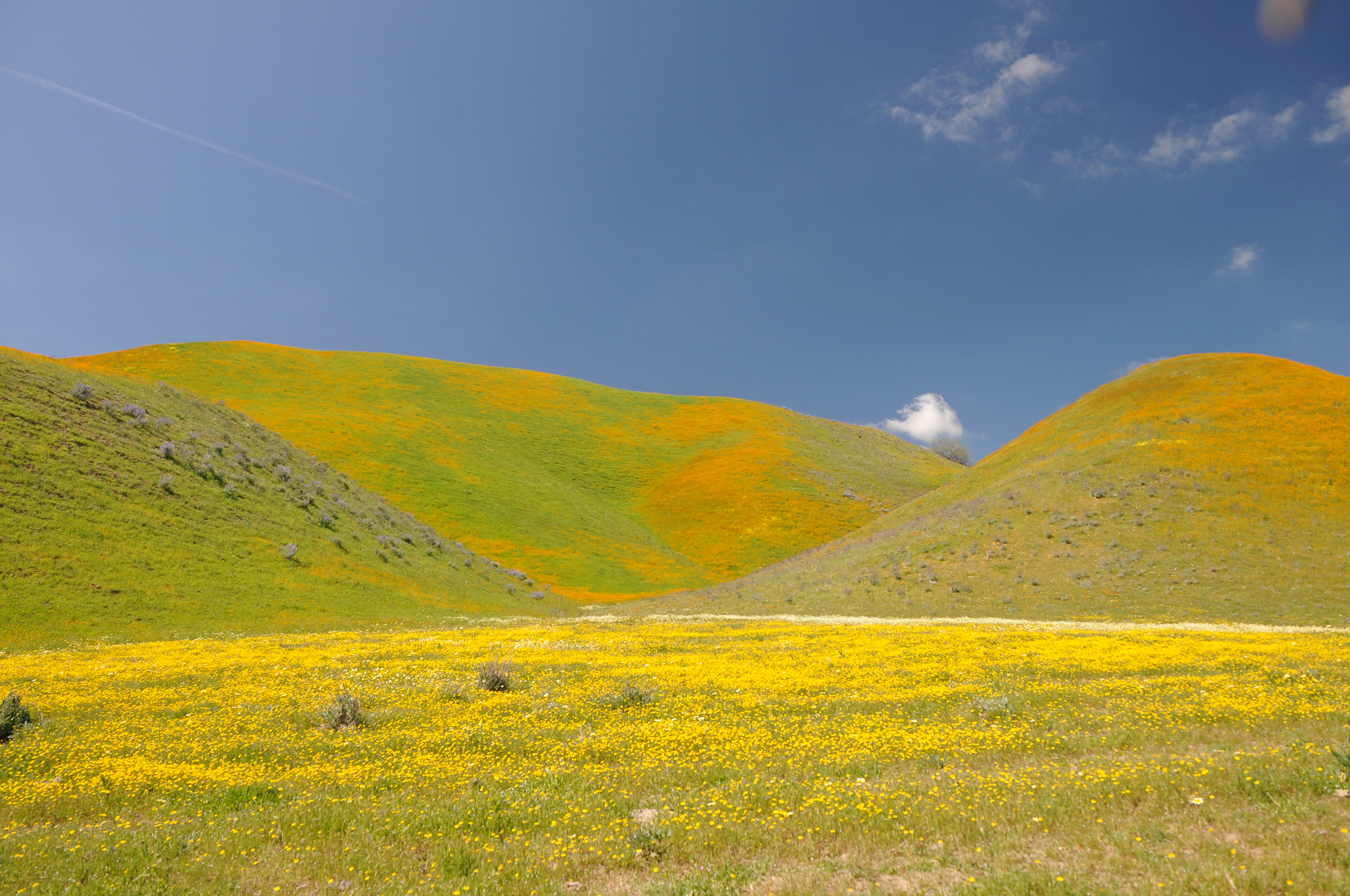
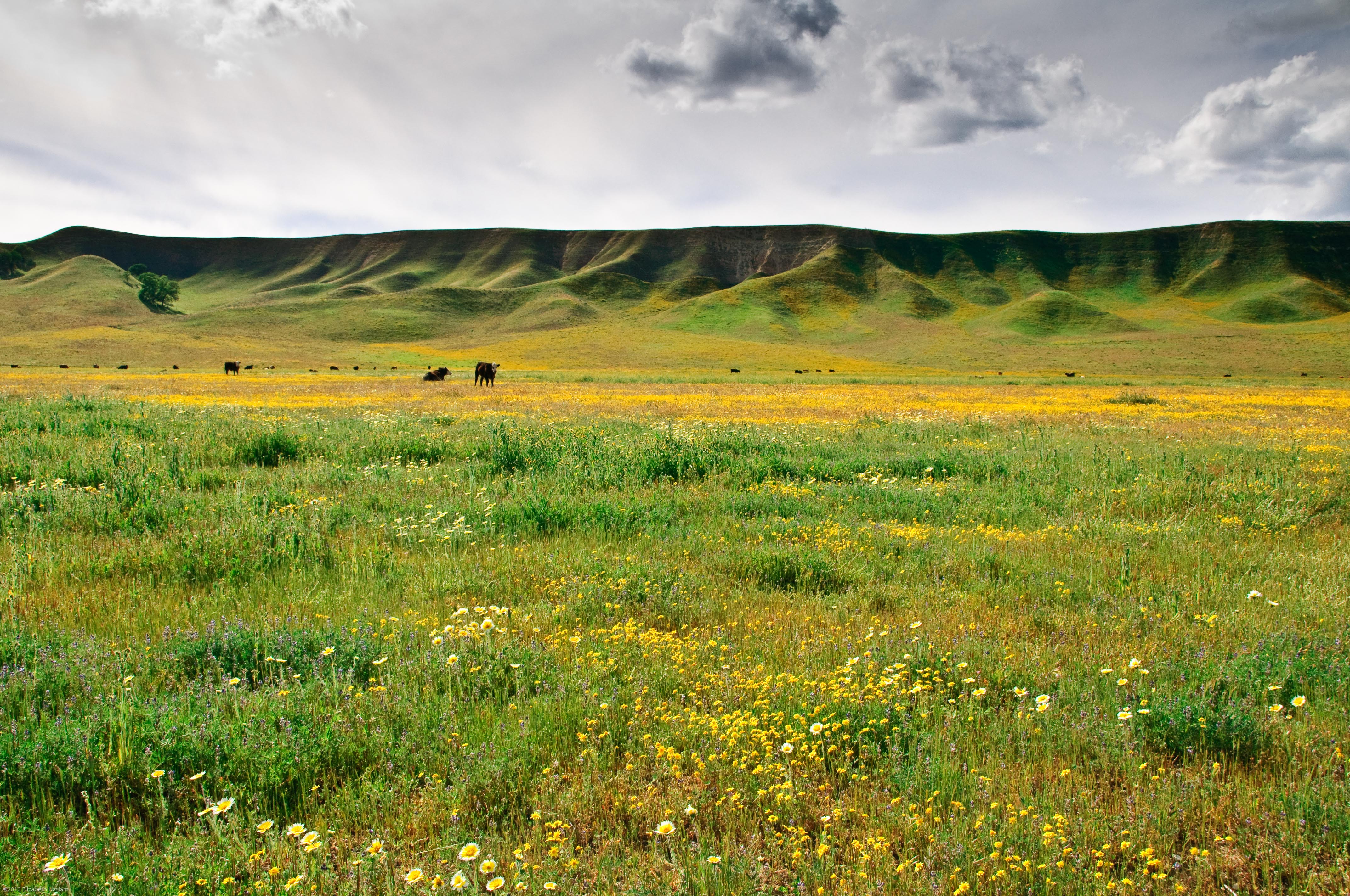
Poppies and fiddlenecks

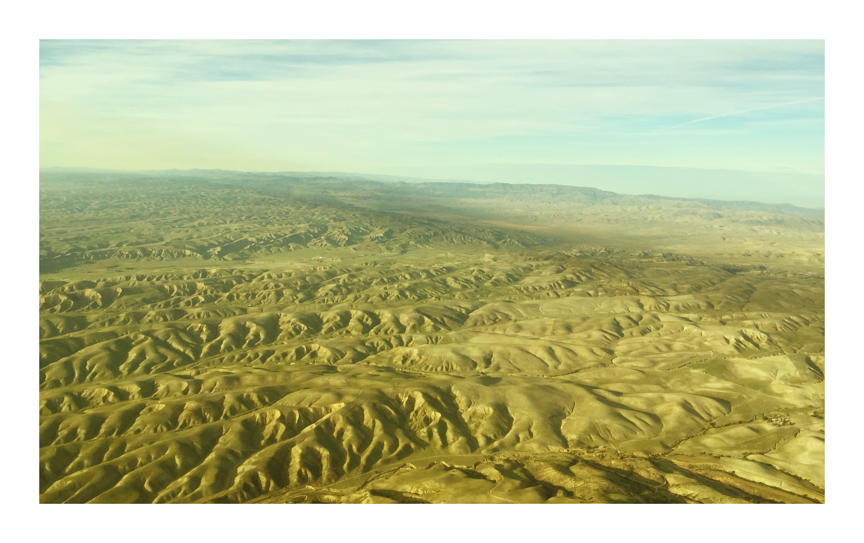
San Andreas fault

Chapel Hill

Highway 41 Revisited

United 842, San Francisco to Los Angeles - N835UA

Highway 41 Revisited 2

California Poppy
Topographic Map of Shandon, CA, USA
Find elevation by address:

Places in Shandon, CA, USA:
Places near Shandon, CA, USA:
E Centre St, Shandon, CA, USA
3160 Gillis Cyn Rd
CA-46, Shandon, CA, USA
Cholame
3510 Yosemite Pl
Ross Dr, Paso Robles, CA, USA
3030 Cammatti Shandon Rd
Shell Creek Road
5205 Estrella Rd
4185 N Ryan Rd
5864 Iron Gate Rd
2 Annette Rd, Shandon, CA, USA
Creston
Webster Rd, Creston, CA, USA
835 Cripple Creek Rd
3730 Calf Canyon Hwy
8280 O'donovan Rd
6650 El Pomar Dr
Turkey Flat Rd, San Miguel, CA, USA
76275 Ranchita Ave
Recent Searches:
- Elevation of Corso Fratelli Cairoli, 35, Macerata MC, Italy
- Elevation of Tallevast Rd, Sarasota, FL, USA
- Elevation of 4th St E, Sonoma, CA, USA
- Elevation of Black Hollow Rd, Pennsdale, PA, USA
- Elevation of Oakland Ave, Williamsport, PA, USA
- Elevation of Pedrógão Grande, Portugal
- Elevation of Klee Dr, Martinsburg, WV, USA
- Elevation of Via Roma, Pieranica CR, Italy
- Elevation of Tavkvetili Mountain, Georgia
- Elevation of Hartfords Bluff Cir, Mt Pleasant, SC, USA