Elevation of Skyline Blvd, Avenal, CA, USA
Location: United States > California > Kings County > Avenal >
Longitude: -120.12864
Latitude: 36.00408
Elevation: 247m / 810feet
Barometric Pressure: 98KPa
Elevation Map:
Satellite Map:
Related Photos:

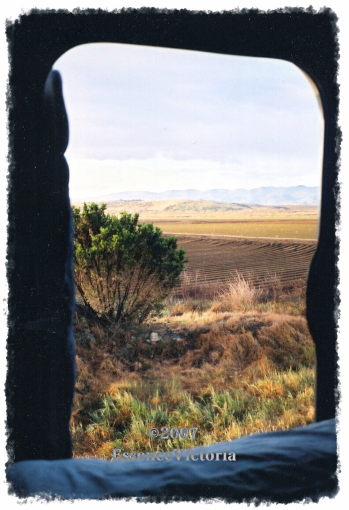
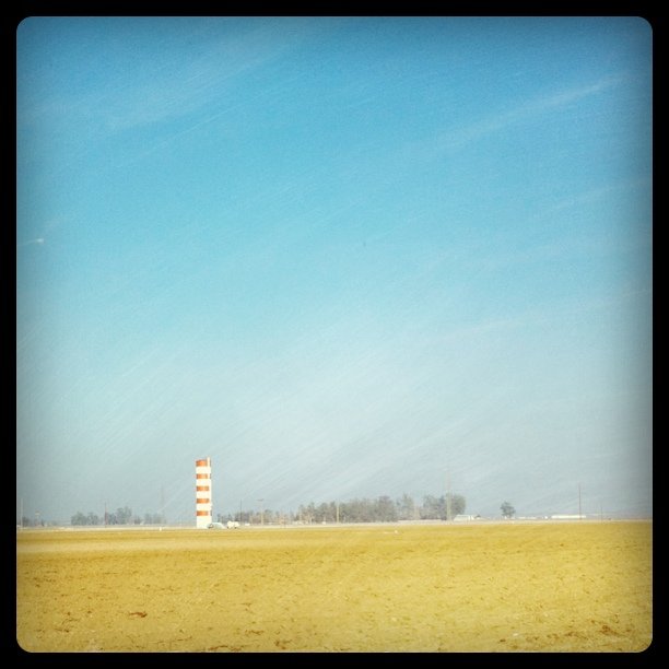
Pleasant Valley in Green and Gray

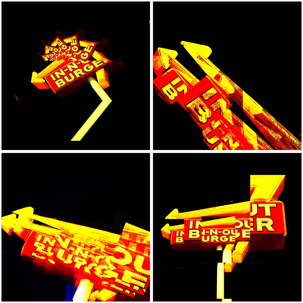
in-n-out burger. kettleman city, ca. 2012.
tasty burger. 2012.
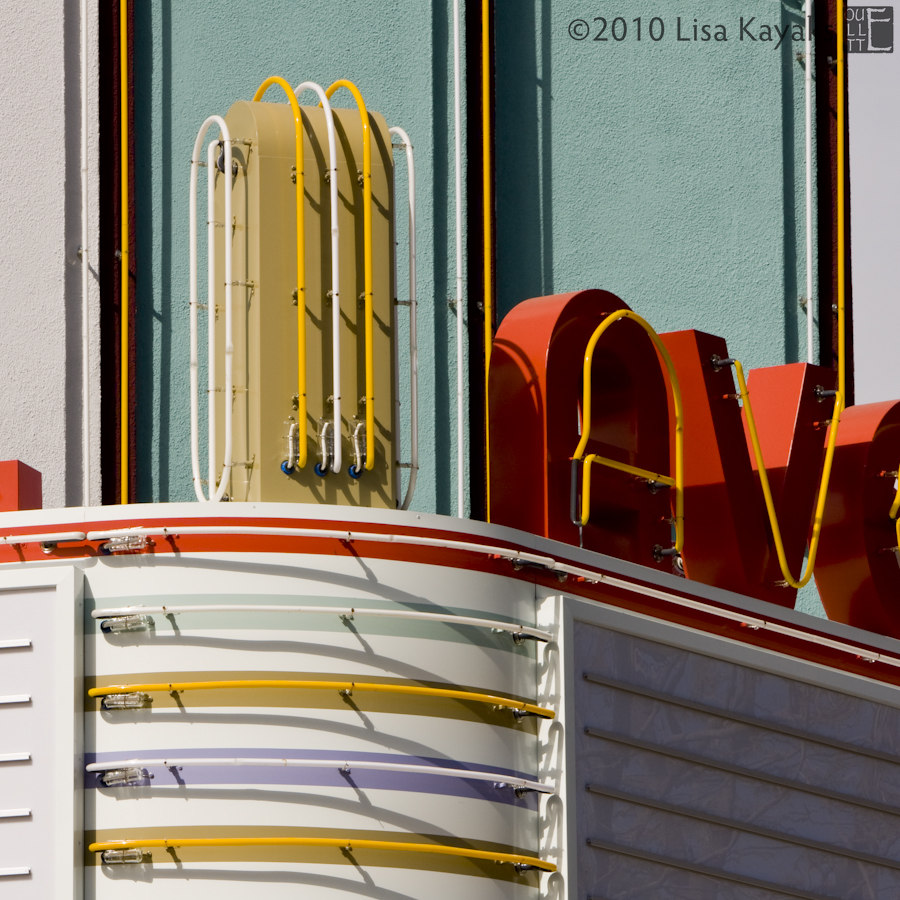
Avenal Theater

(away)
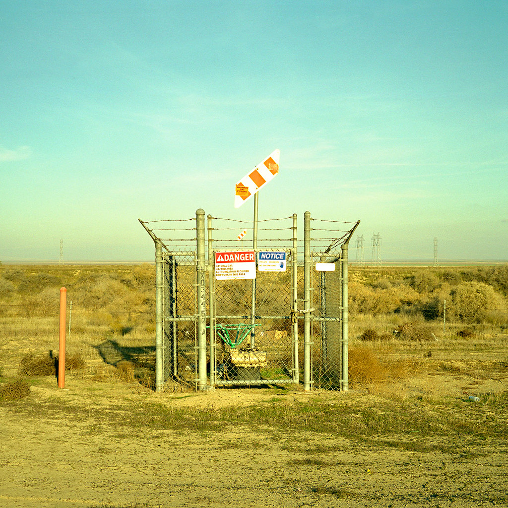
danger. kettleman city, ca. 2008.
Hmm..
View from a Freightliner's Sleeper
The San Joaquin Valley - Nikon FE - Nikkor 28mm F/2.8 AI - Velvia 50
Grassy field behind rest area

helicopter at the gas station

200 miles to the final destination. Soooo close... #california #CA #sunset #summer #roadtrip #instagood #iphonesia #photooftheday
Reef City
half way home. <I-5 north; central California>

I'm in the middle of Central California somewhere far from everything. #cali
Coalinga Farm
San Luis Obispo County California
PB272092 rest stop 20131127

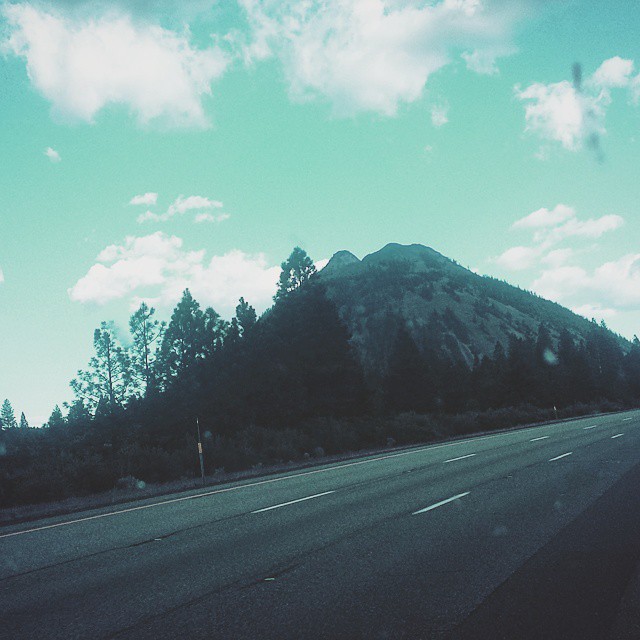
Hills and Valleys in California
YOU'RE DOING IT WRONG - #California

Good morning America
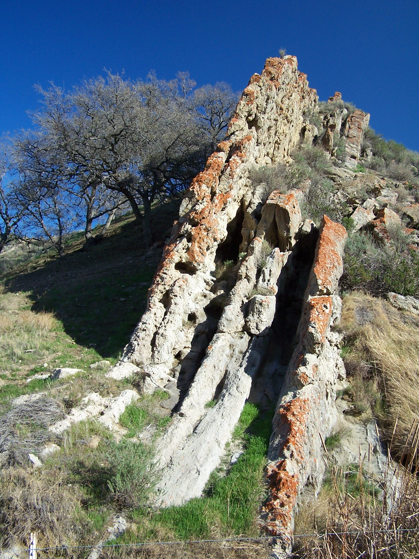
Mud Flow from Reef Ridge
Recently Added-98

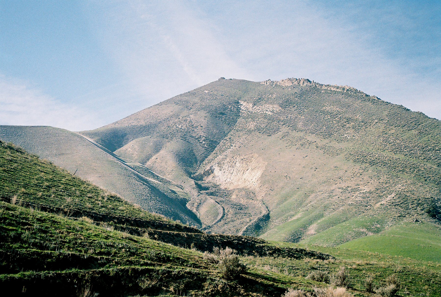
Reef Ridge
Reef Ridge

Far Far Away ... In California
Topographic Map of Skyline Blvd, Avenal, CA, USA
Find elevation by address:

Places near Skyline Blvd, Avenal, CA, USA:
Avenal
Hydril Rd, Avenal, CA, USA
CA-33, Kettleman City, CA, USA
30th Ave, Kettleman City, CA, USA
40475 S El Dorado Ave
40475 S El Dorado Ave
40475 S El Dorado Ave
Kettleman City
Huron
Turkey Flat Rd, San Miguel, CA, USA
Kings County
Coalinga Plaza, Coalinga, CA, USA
Coalinga
West Hills Community College District
Cholame
CA-46, Shandon, CA, USA
California 46
CA-46, Lost Hills, CA, USA
50901 Parkfield Grade
Main St, Stratford, CA, USA
Recent Searches:
- Elevation of Corso Fratelli Cairoli, 35, Macerata MC, Italy
- Elevation of Tallevast Rd, Sarasota, FL, USA
- Elevation of 4th St E, Sonoma, CA, USA
- Elevation of Black Hollow Rd, Pennsdale, PA, USA
- Elevation of Oakland Ave, Williamsport, PA, USA
- Elevation of Pedrógão Grande, Portugal
- Elevation of Klee Dr, Martinsburg, WV, USA
- Elevation of Via Roma, Pieranica CR, Italy
- Elevation of Tavkvetili Mountain, Georgia
- Elevation of Hartfords Bluff Cir, Mt Pleasant, SC, USA