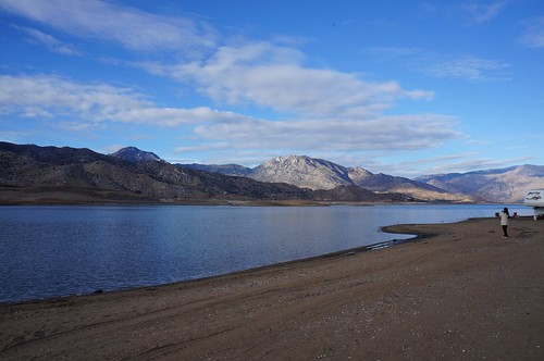
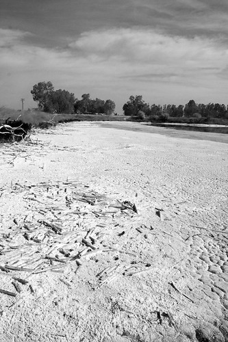
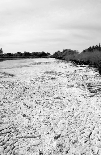
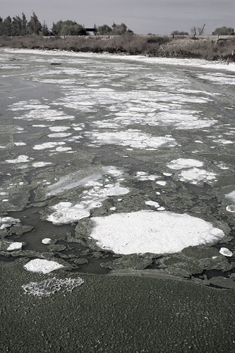
Elevation of E Mt Whitney Ave, Laton, CA, USA
Location: United States > California > Fresno County > Laton >
Longitude: -119.79682
Latitude: 36.429547
Elevation: 72m / 236feet
Barometric Pressure: 100KPa
Related Photos:
Topographic Map of E Mt Whitney Ave, Laton, CA, USA
Find elevation by address:

Places near E Mt Whitney Ave, Laton, CA, USA:
E Mt Whitney Ave, Laton, CA, USA
W Mt Whitney Ave, Riverdale, CA, USA
Riverdale
20554 Fargo Ave
14911 S West Ave
Laton
S Bryan Ave, Riverdale, CA, USA
California 41
E Mountain View Ave, Caruthers, CA, USA
E Conejo Ave, Selma, CA, USA
Caruthers
Hackett St, Hanford, CA, USA
Lemoore
Belle Haven Dr, Lemoore, CA, USA
Excelsior Ave, Hanford, CA, USA
Armona
Fargo Ave, Hanford, CA, USA
1585 Fitzgerald Ln
Davis St, Hanford, CA, USA
15312 20th Ave
Recent Searches:
- Elevation of Redondo Ave, Long Beach, CA, USA
- Elevation of Sadovaya Ulitsa, 20, Rezh, Sverdlovskaya oblast', Russia
- Elevation of Ulitsa Kalinina, 79, Rezh, Sverdlovskaya oblast', Russia
- Elevation of 72-31 Metropolitan Ave, Middle Village, NY, USA
- Elevation of 76 Metropolitan Ave, Brooklyn, NY, USA
- Elevation of Alisal Rd, Solvang, CA, USA
- Elevation of Vista Blvd, Sparks, NV, USA
- Elevation of 15th Ave SE, St. Petersburg, FL, USA
- Elevation of Beall Road, Beall Rd, Florida, USA
- Elevation of Leguwa, Nepal


