Elevation map of Storuman, Sweden
Location: Sweden > Västerbotten County >
Longitude: 16.0332818
Latitude: 65.4849092
Elevation: 458m / 1503feet
Barometric Pressure: 96KPa
Elevation Map:
Satellite Map:
Related Photos:
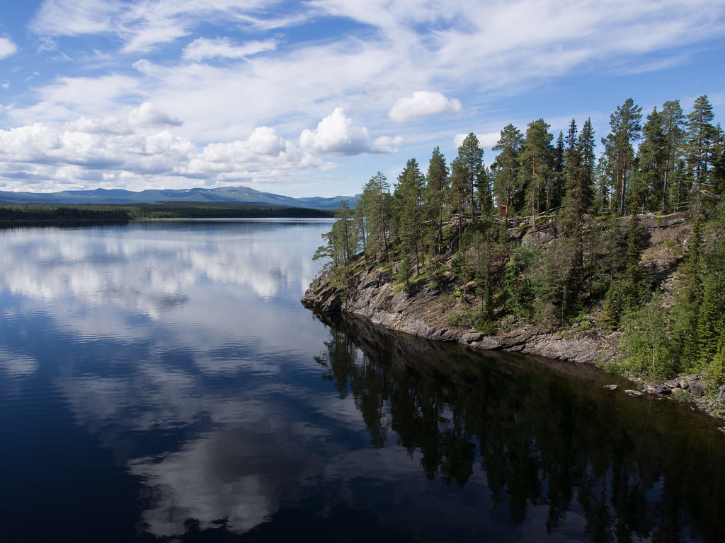
P8040575
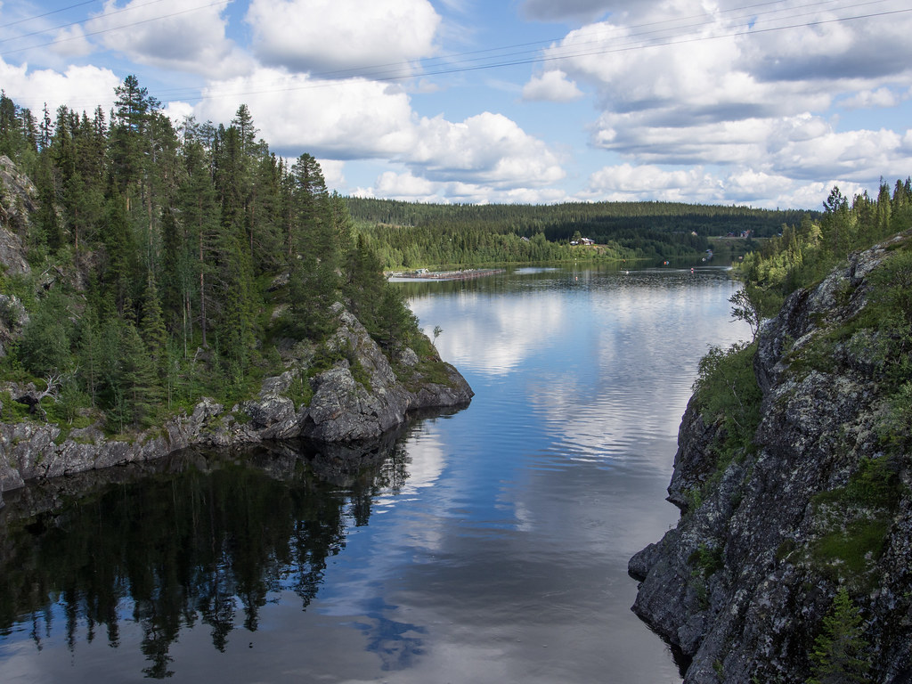
P8040572

Tima and janna
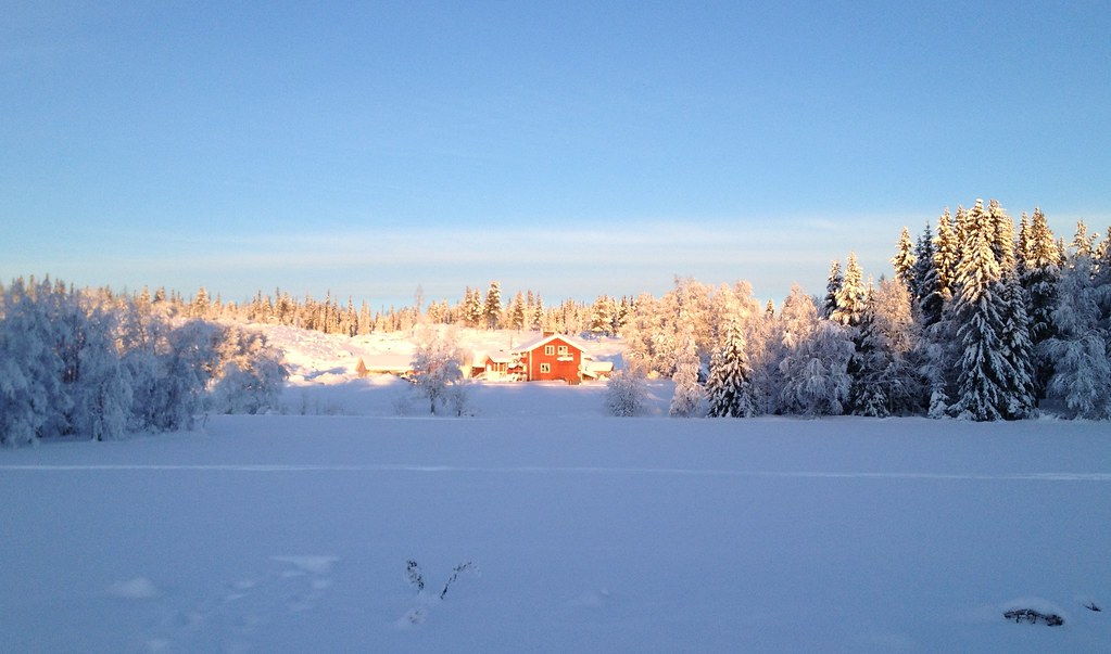
A neighbour's house
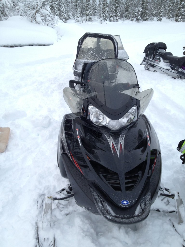
First snowmobile ride of the new year.

First snowmobile ride of the new year.

"Thinking with type" by Ellen Lupton. One of my gifts today. :)
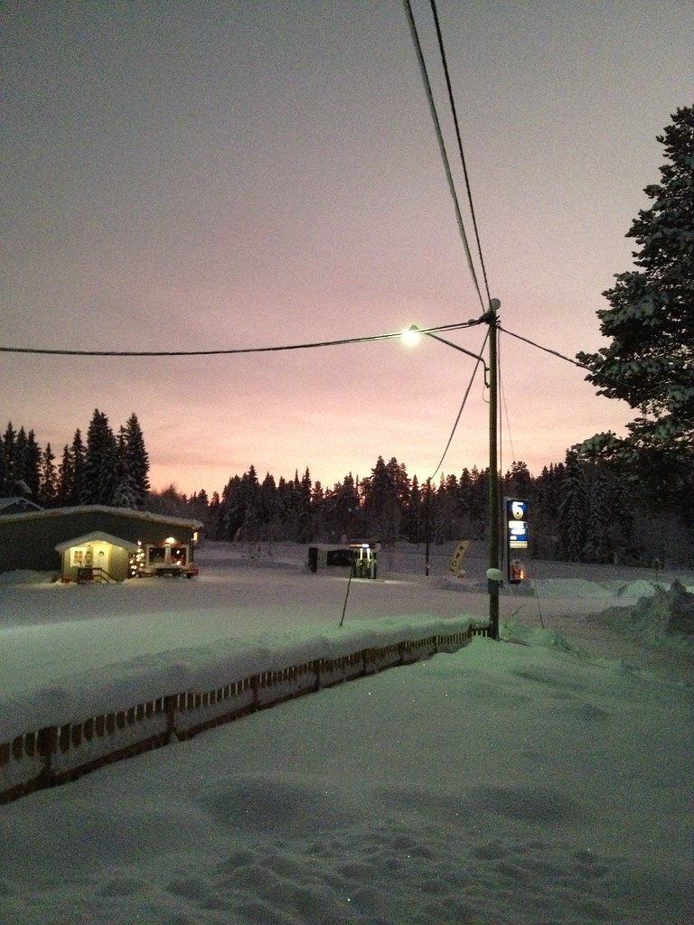
Beautiful Saturday morning. The sky has a nice red/yellow light. -30°C.
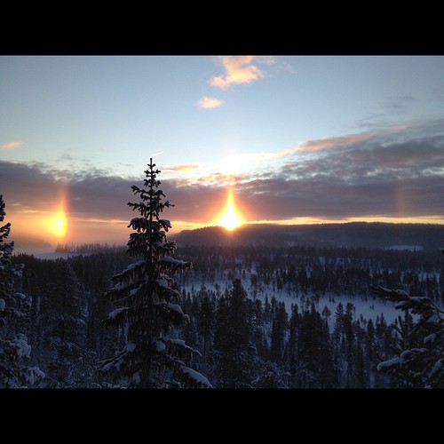
Is this a halo? Taken in Slussfors today. #nofilter
Ännu mer...
Topographic Map of Storuman, Sweden
Find elevation by address:

Places in Storuman, Sweden:
Places near Storuman, Sweden:
Dikanäsvägen 41, 94 Dikanäs, Sweden
Bergland 29, 99 Vilhelmina, Sweden
Bergland
Vilhelmina V
Sorsele Nv
Ammarnäs
Myrvägen 8, 70 Sorsele, Sweden
Västerbotten County
FJÄLLSJÖNÄS, 70 Sorsele, Sweden
Storuman C
FJÄLLSJÖNÄS, 70 Sorsele, Sweden
BRÄNNÅKER 8, 99 Vilhelmina, Sweden
Recent Searches:
- Elevation of Corso Fratelli Cairoli, 35, Macerata MC, Italy
- Elevation of Tallevast Rd, Sarasota, FL, USA
- Elevation of 4th St E, Sonoma, CA, USA
- Elevation of Black Hollow Rd, Pennsdale, PA, USA
- Elevation of Oakland Ave, Williamsport, PA, USA
- Elevation of Pedrógão Grande, Portugal
- Elevation of Klee Dr, Martinsburg, WV, USA
- Elevation of Via Roma, Pieranica CR, Italy
- Elevation of Tavkvetili Mountain, Georgia
- Elevation of Hartfords Bluff Cir, Mt Pleasant, SC, USA