Elevation of FJÄLLSJÖNÄS, 70 Sorsele, Sweden
Location: Sweden > Västerbotten County > Sorsele Nv >
Longitude: 16.6203091
Latitude: 65.6222858
Elevation: 418m / 1371feet
Barometric Pressure: 96KPa
Elevation Map:
Satellite Map:
Related Photos:
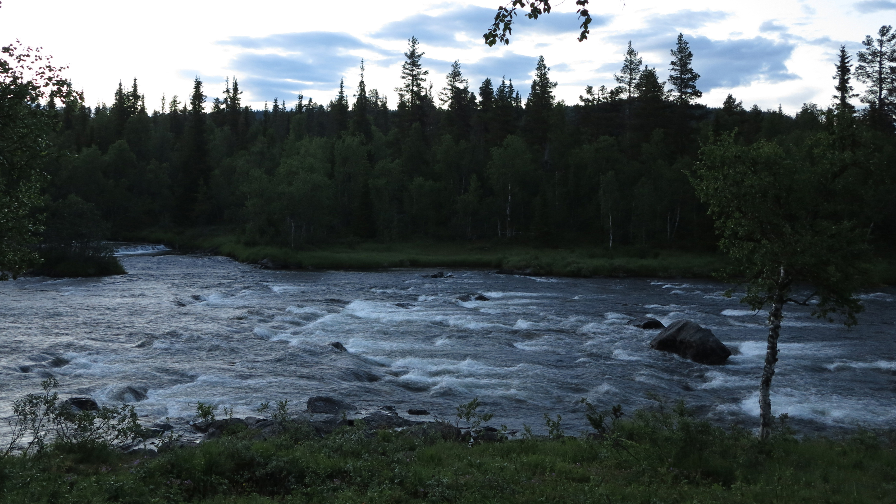
Vattenstånd fredag kväll
Övre Svartselet mot Dikseleforsen
Från parkeringen nedströms
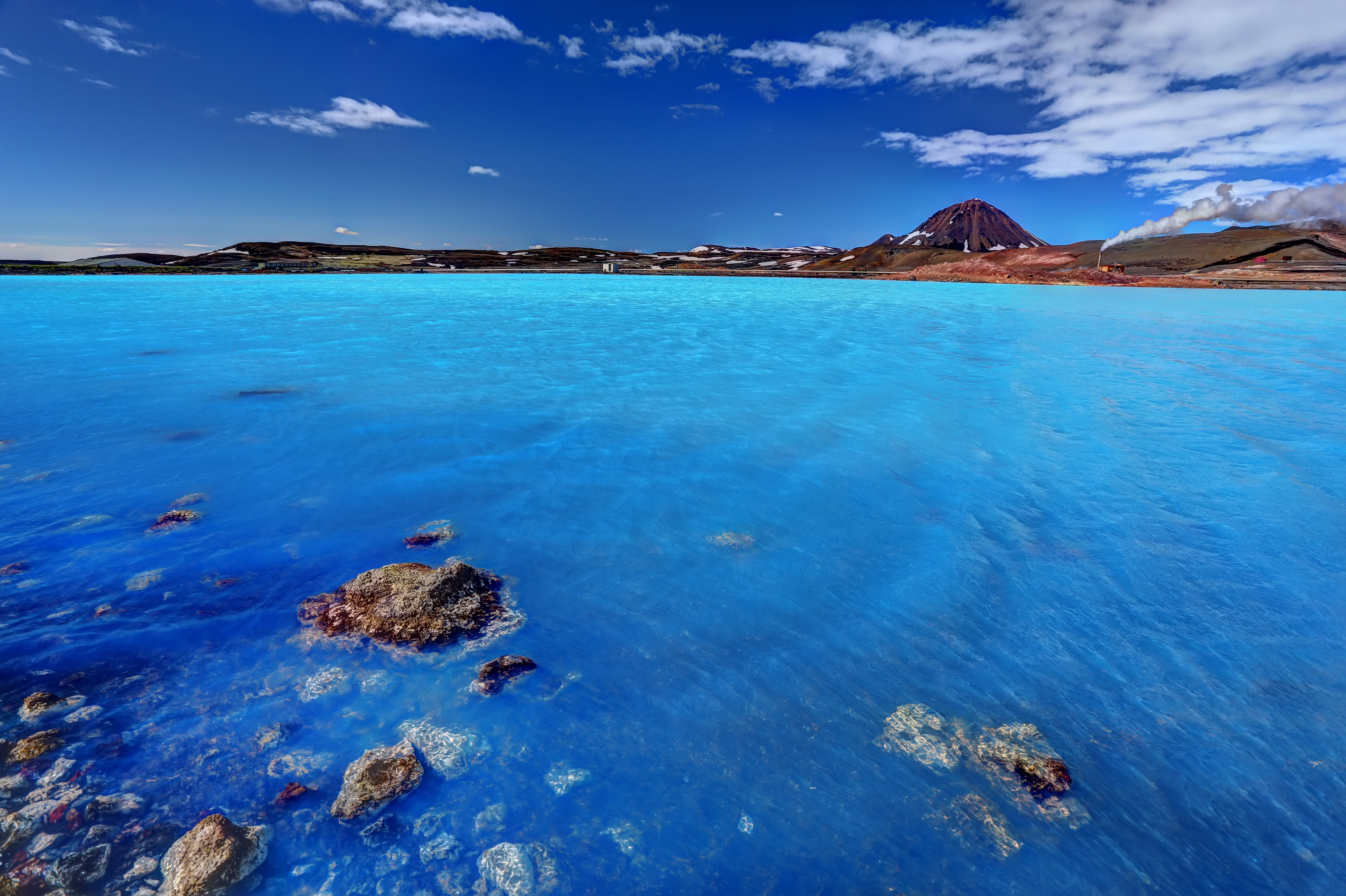
The azure lake

Geothermal area of Hverir

Boiling mudpools
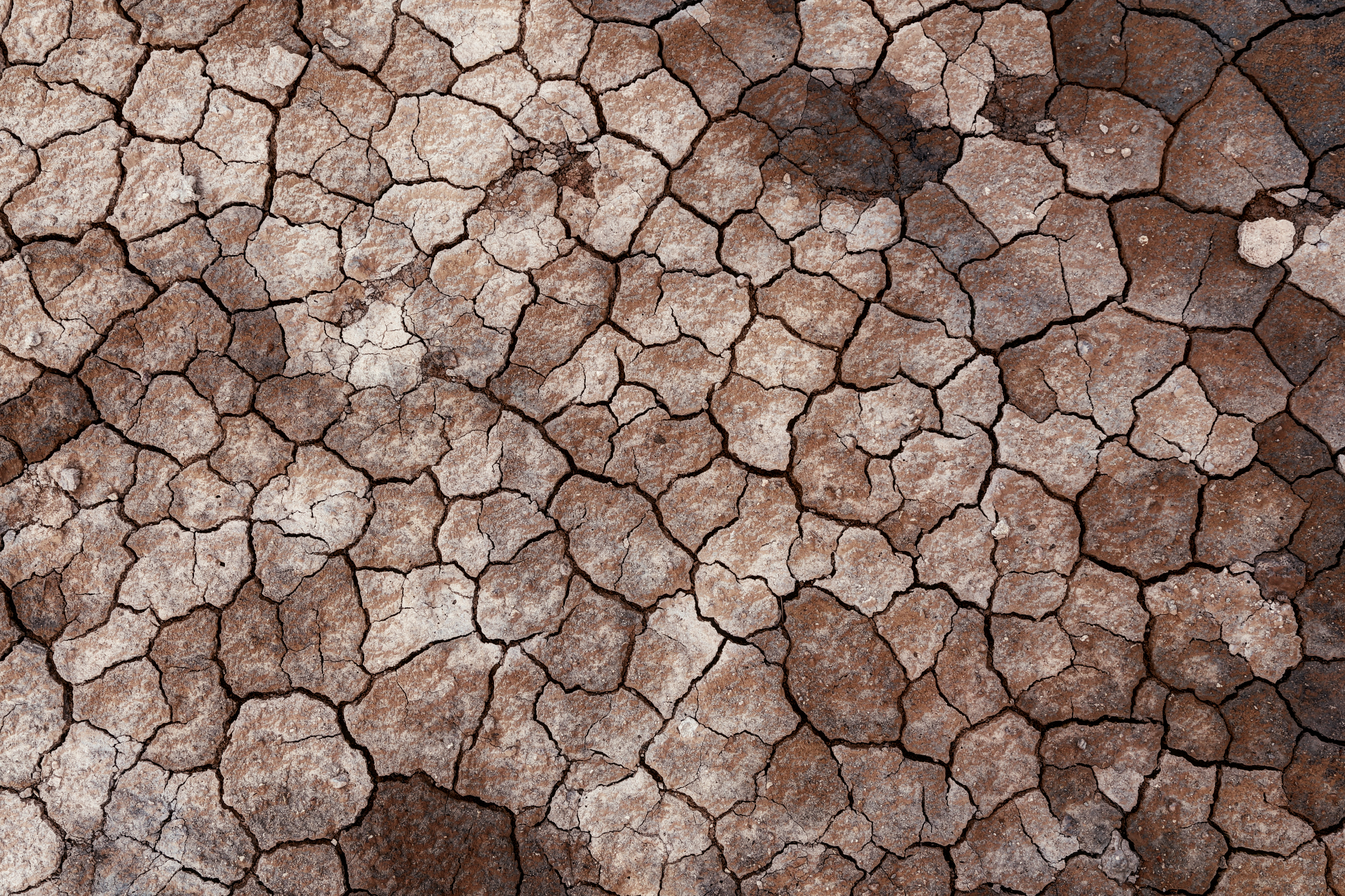
Dry soil
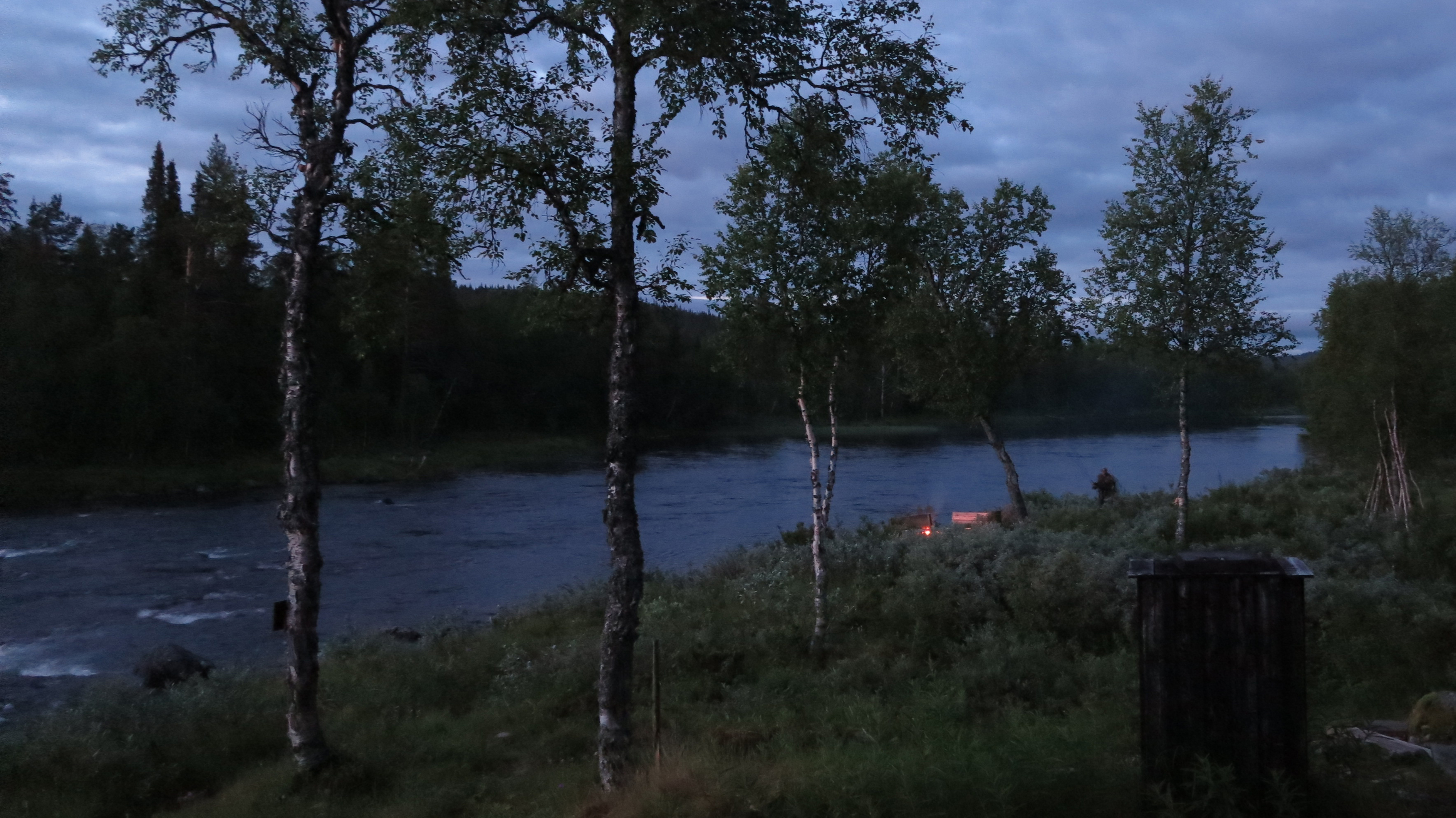
Olle mot Janne-elden
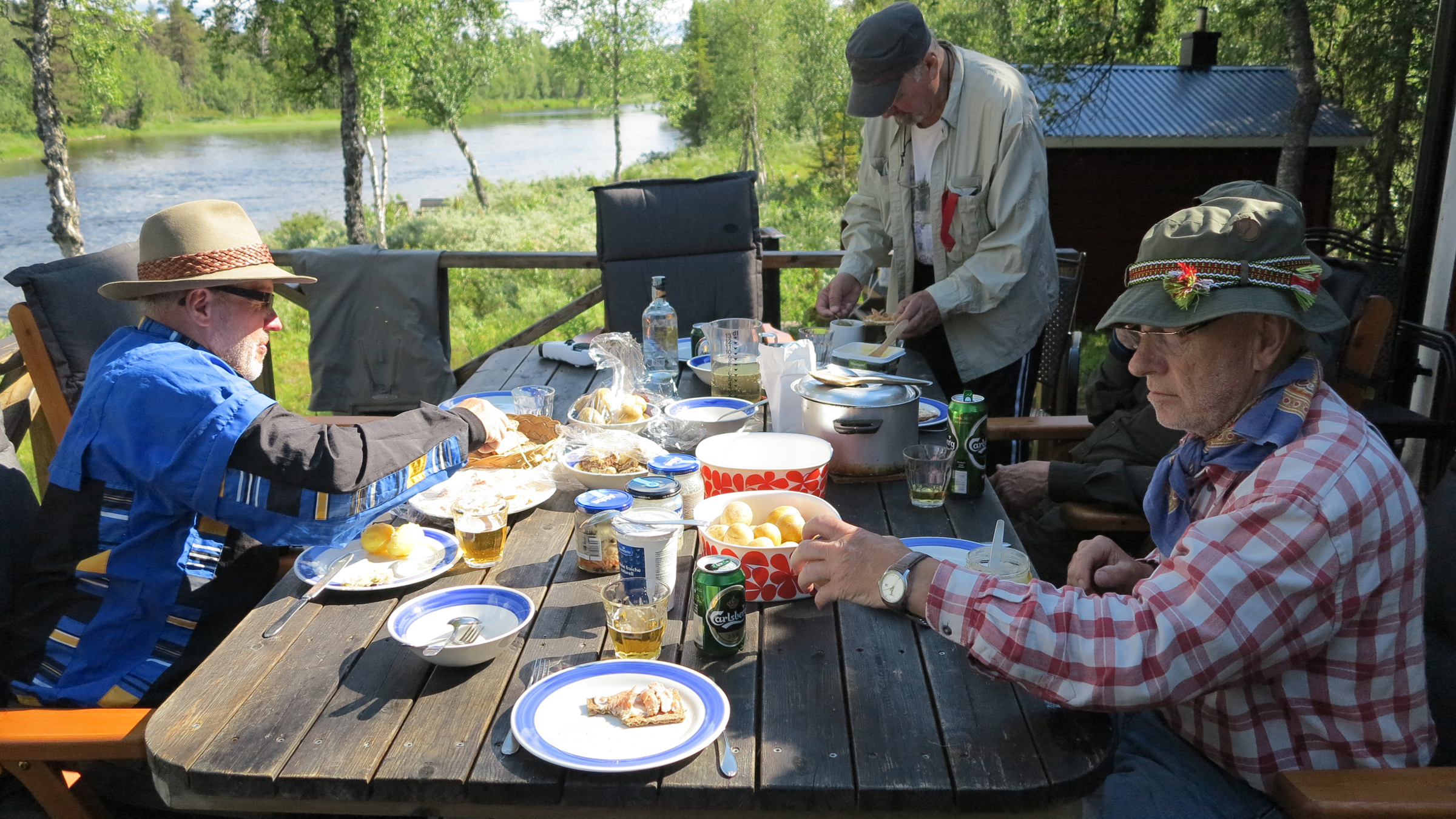
Inför middagen
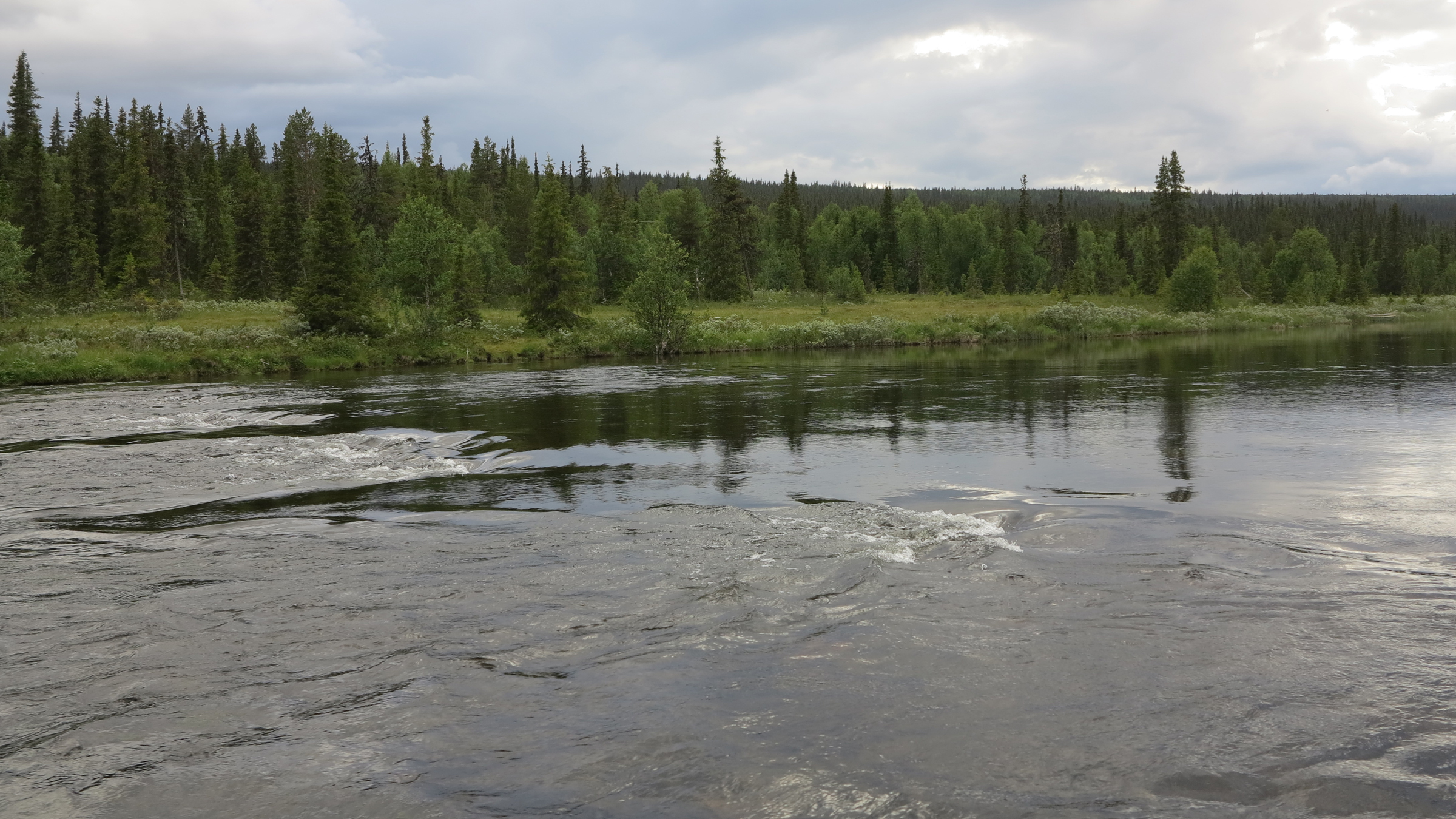
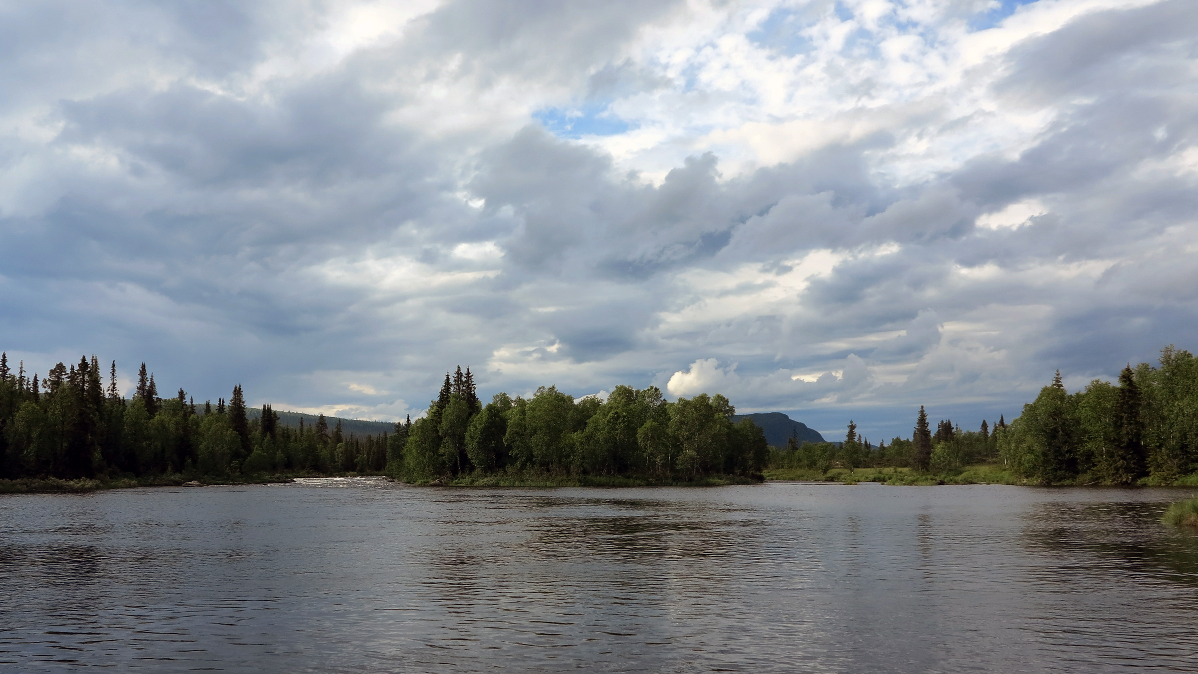
Upp mot Dikseleluspen

Per-olof sjöberg

The world outside
Topographic Map of FJÄLLSJÖNÄS, 70 Sorsele, Sweden
Find elevation by address:

Places near FJÄLLSJÖNÄS, 70 Sorsele, Sweden:
FJÄLLSJÖNÄS, 70 Sorsele, Sweden
Västerbotten County
Sorsele Nv
Storuman C
Ammarnäs
Myrvägen 8, 70 Sorsele, Sweden
Storuman
Bergland
Bergland 29, 99 Vilhelmina, Sweden
Dikanäsvägen 41, 94 Dikanäs, Sweden
BRÄNNÅKER 8, 99 Vilhelmina, Sweden
Vilhelmina V
Recent Searches:
- Elevation of Tenjo, Cundinamarca, Colombia
- Elevation of Côte-des-Neiges, Montreal, QC H4A 3J6, Canada
- Elevation of Bobcat Dr, Helena, MT, USA
- Elevation of Zu den Ihlowbergen, Althüttendorf, Germany
- Elevation of Badaber, Peshawar, Khyber Pakhtunkhwa, Pakistan
- Elevation of SE Heron Loop, Lincoln City, OR, USA
- Elevation of Slanický ostrov, 01 Námestovo, Slovakia
- Elevation of Spaceport America, Co Rd A, Truth or Consequences, NM, USA
- Elevation of Warwick, RI, USA
- Elevation of Fern Rd, Whitmore, CA, USA