Elevation map of Vilhelmina V, Sweden
Location: Sweden > Västerbotten County >
Longitude: 15.7621392
Latitude: 65.1235396
Elevation: 620m / 2034feet
Barometric Pressure: 94KPa
Elevation Map:
Satellite Map:
Related Photos:
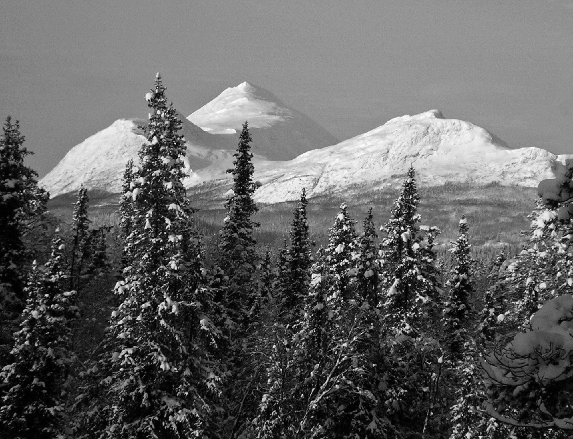
The view
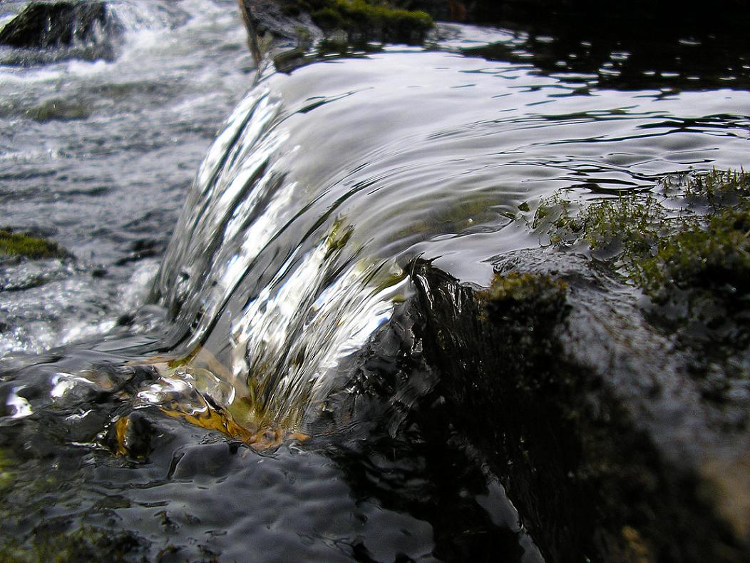
Vojmån

Fjällbjörkskog

Lapplägret
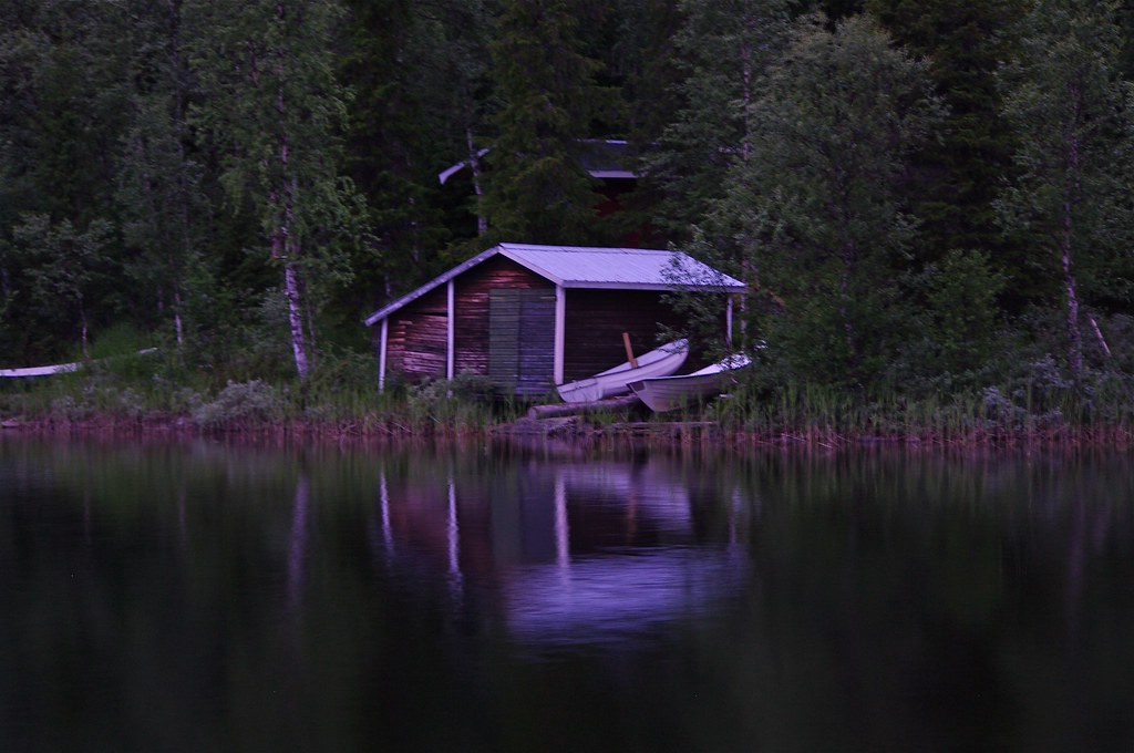
Amid the Wilderness
Topographic Map of Vilhelmina V, Sweden
Find elevation by address:

Places in Vilhelmina V, Sweden:
BERGSUND 7, 94 Dikanäs, Sweden
Dikanäsvägen 41, 94 Dikanäs, Sweden
BRÄNNÅKER 8, 99 Vilhelmina, Sweden
Places near Vilhelmina V, Sweden:
Dikanäsvägen 41, 94 Dikanäs, Sweden
Bergland 29, 99 Vilhelmina, Sweden
Bergland
Storuman
Västerbotten County
Sorsele Nv
Storuman C
Myrvägen 8, 70 Sorsele, Sweden
Ammarnäs
FJÄLLSJÖNÄS, 70 Sorsele, Sweden
BRÄNNÅKER 8, 99 Vilhelmina, Sweden
FJÄLLSJÖNÄS, 70 Sorsele, Sweden
Recent Searches:
- Elevation of Hercules Dr, Colorado Springs, CO, USA
- Elevation of Szlak pieszy czarny, Poland
- Elevation of Griffing Blvd, Biscayne Park, FL, USA
- Elevation of Kreuzburger Weg 13, Düsseldorf, Germany
- Elevation of Gateway Blvd SE, Canton, OH, USA
- Elevation of East W.T. Harris Boulevard, E W.T. Harris Blvd, Charlotte, NC, USA
- Elevation of West Sugar Creek, Charlotte, NC, USA
- Elevation of Wayland, NY, USA
- Elevation of Steadfast Ct, Daphne, AL, USA
- Elevation of Lagasgasan, X+CQH, Tiaong, Quezon, Philippines